
Search for another town
Free U.S. delivery 7 to 10 days after you order
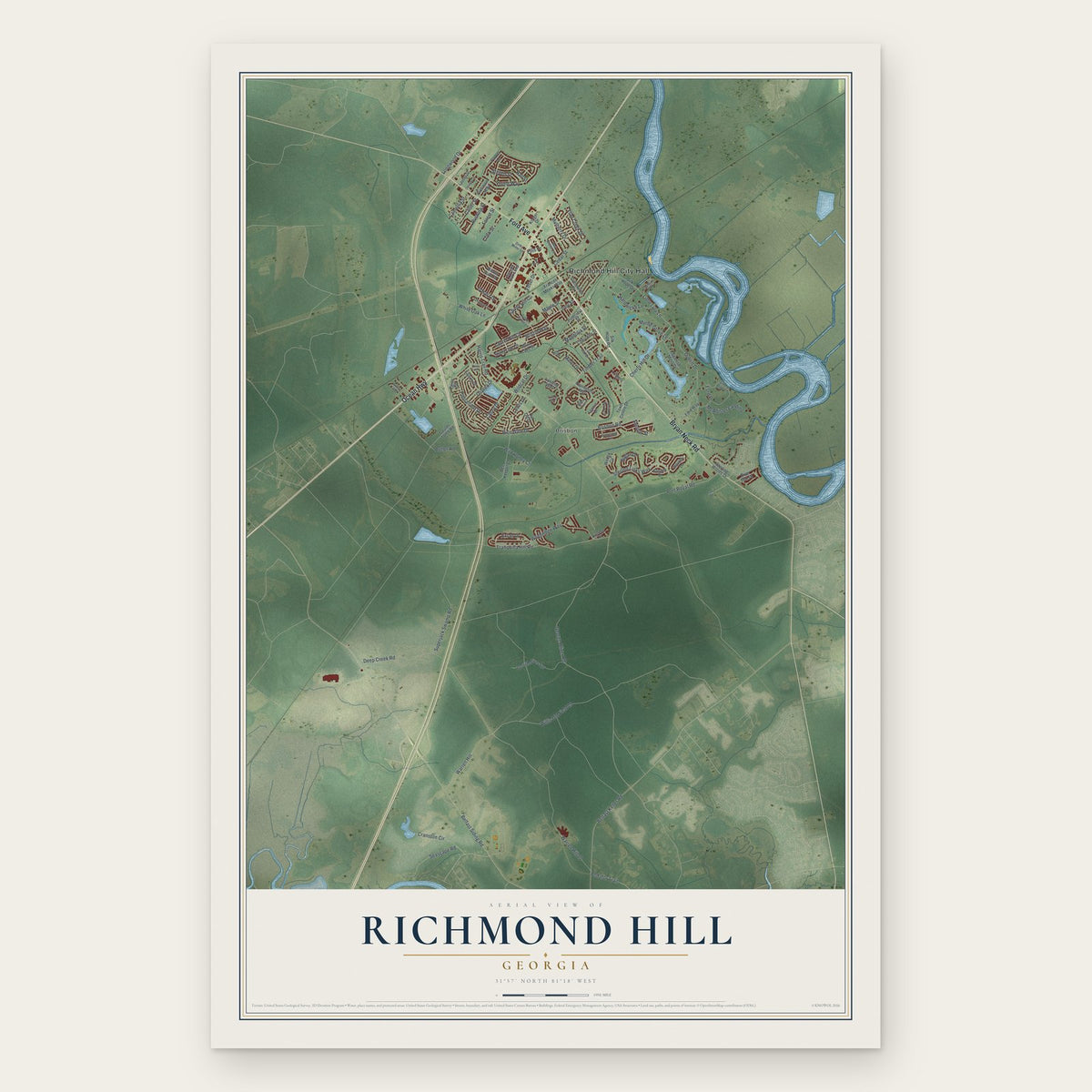
Richmond Hill, Georgia Map Art
Building by building, with labeled streets and shaded relief.
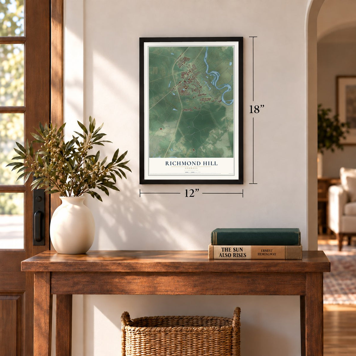
12" x 18" Archival Matte Print
A Map of Home. A Work of Art.
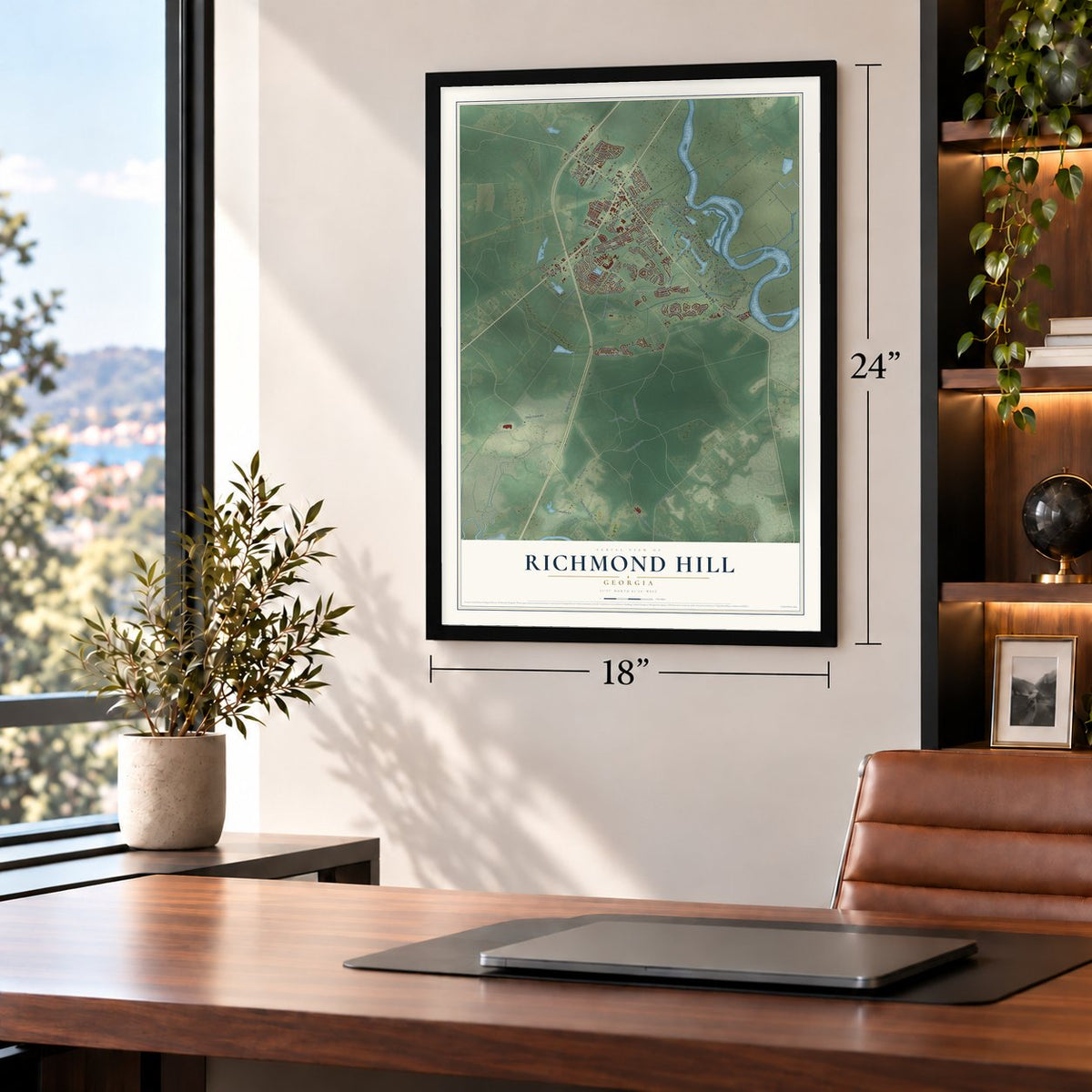
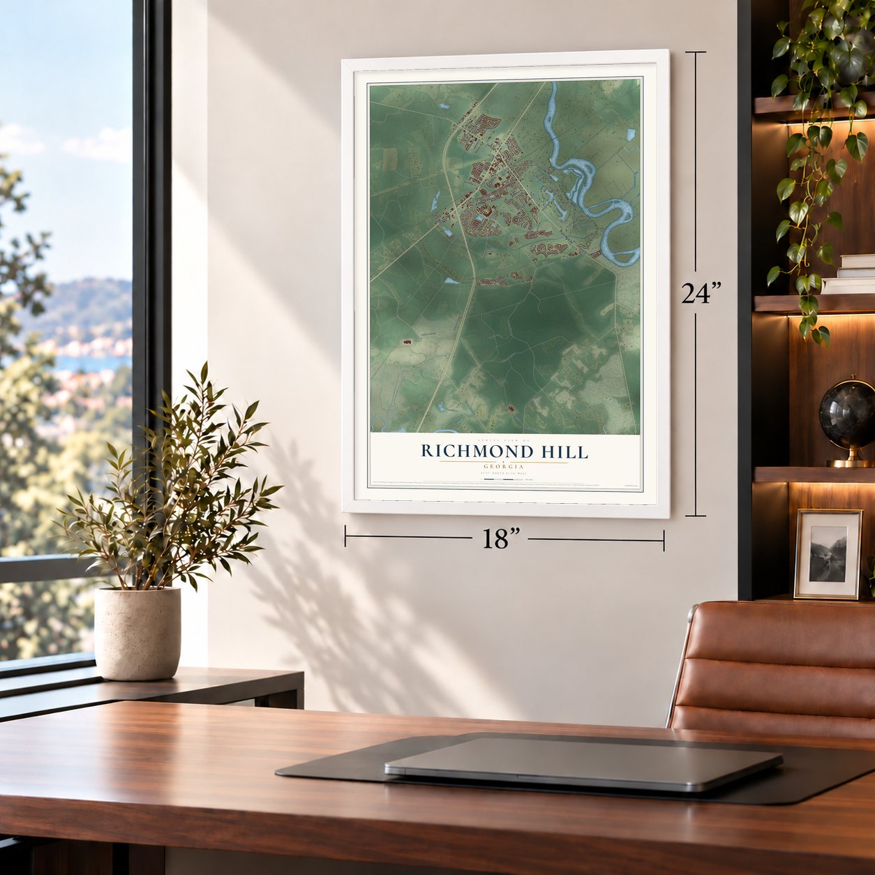
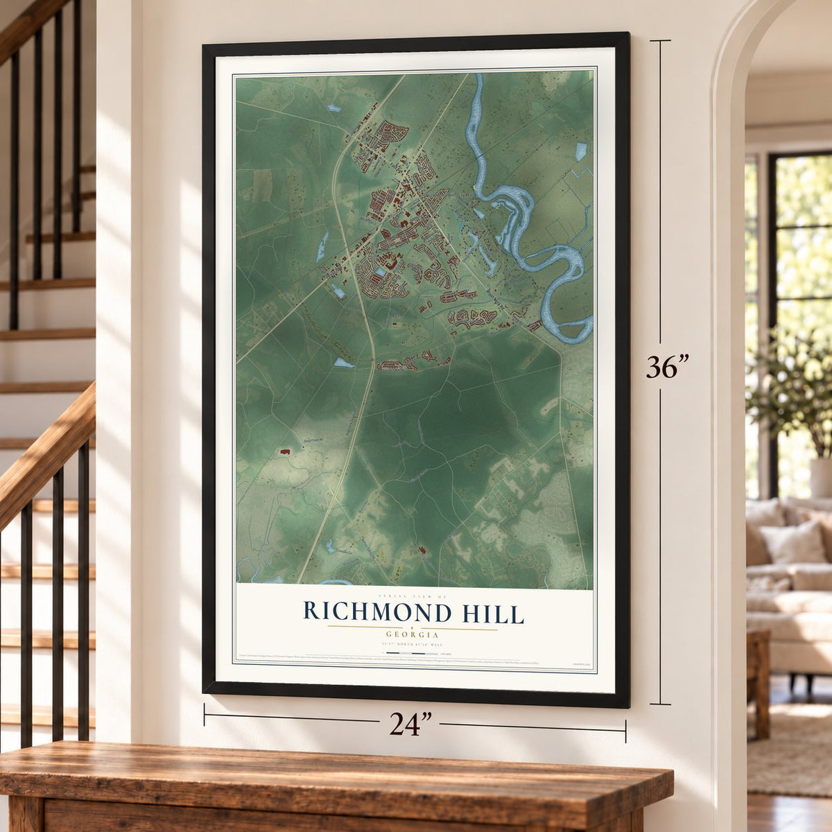
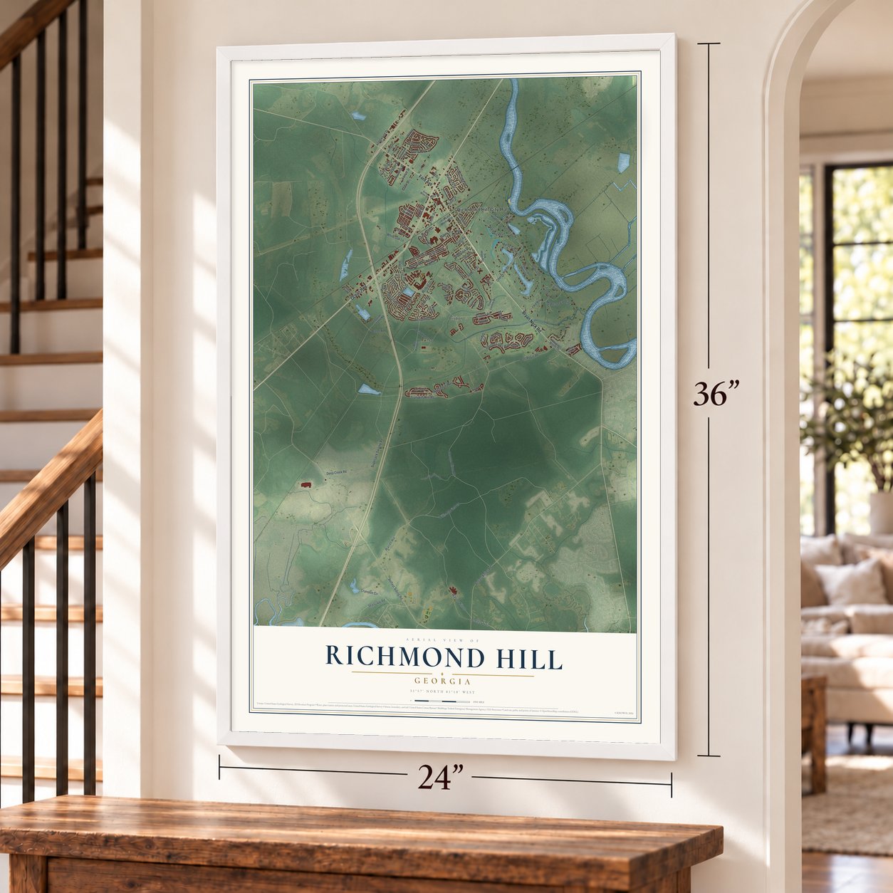
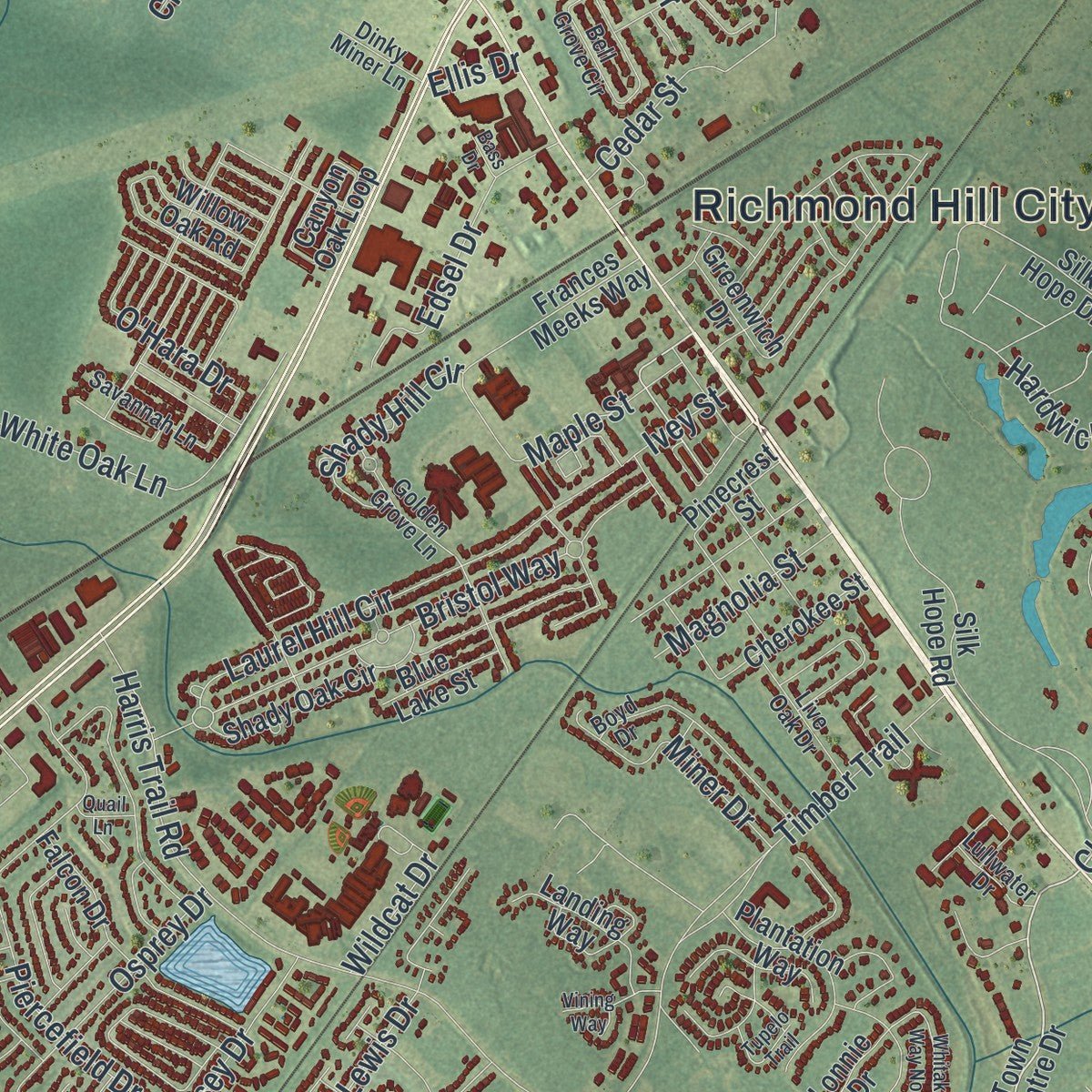
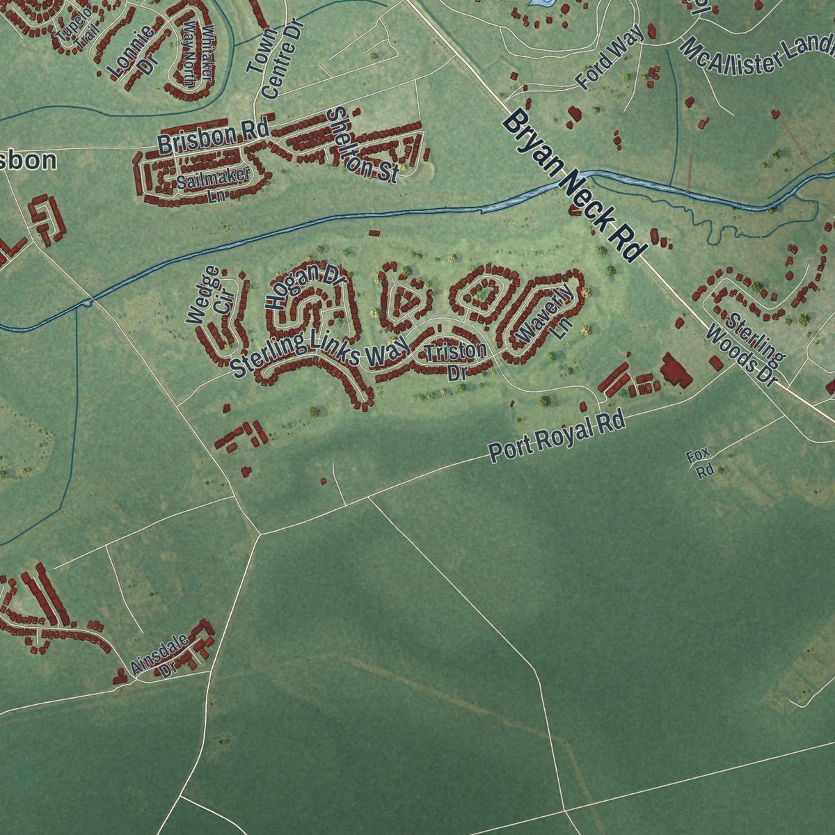
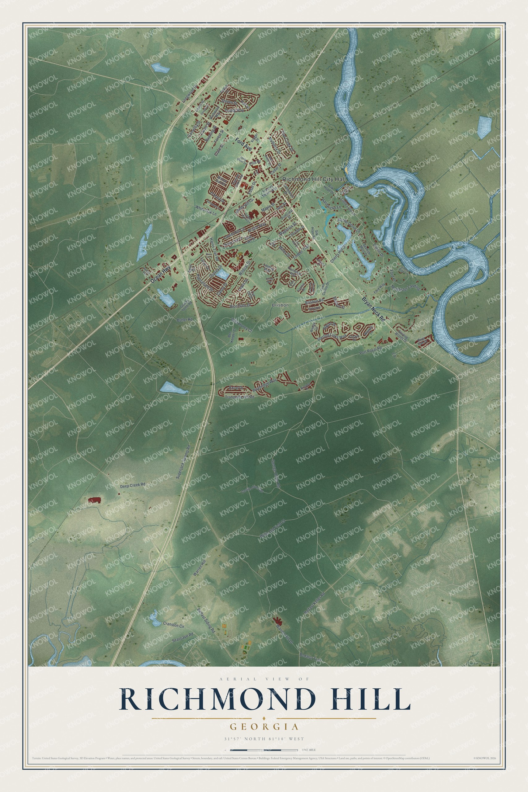
Explore Richmond Hill, Georgia from a whole new perspective. Created using aerial imagery and detailed geographic data, this map captures Richmond Hill building by building, with labeled streets, familiar landmarks, and shaded topographical relief that highlights the natural contours of the landscape.
Combining modern data with the timeless character of a vintage atlas, this map is just as interesting up close as it is beautiful on the wall. Whether you grew up in Richmond Hill, spent memorable years there, or call it home today, this unique map is a great way to celebrate a place that means something to you. Zoom in on the preview to look for your street, and then order a print to put your memories on the wall.
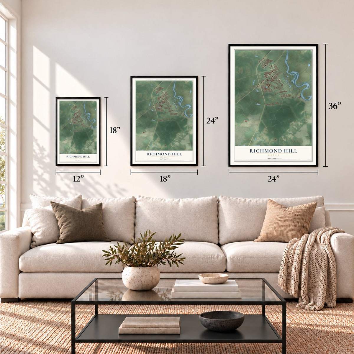
Three ways to hang it
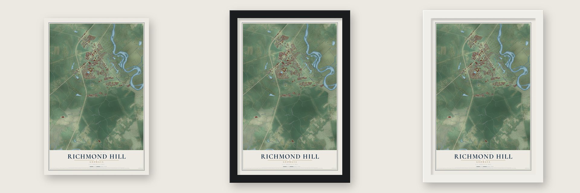
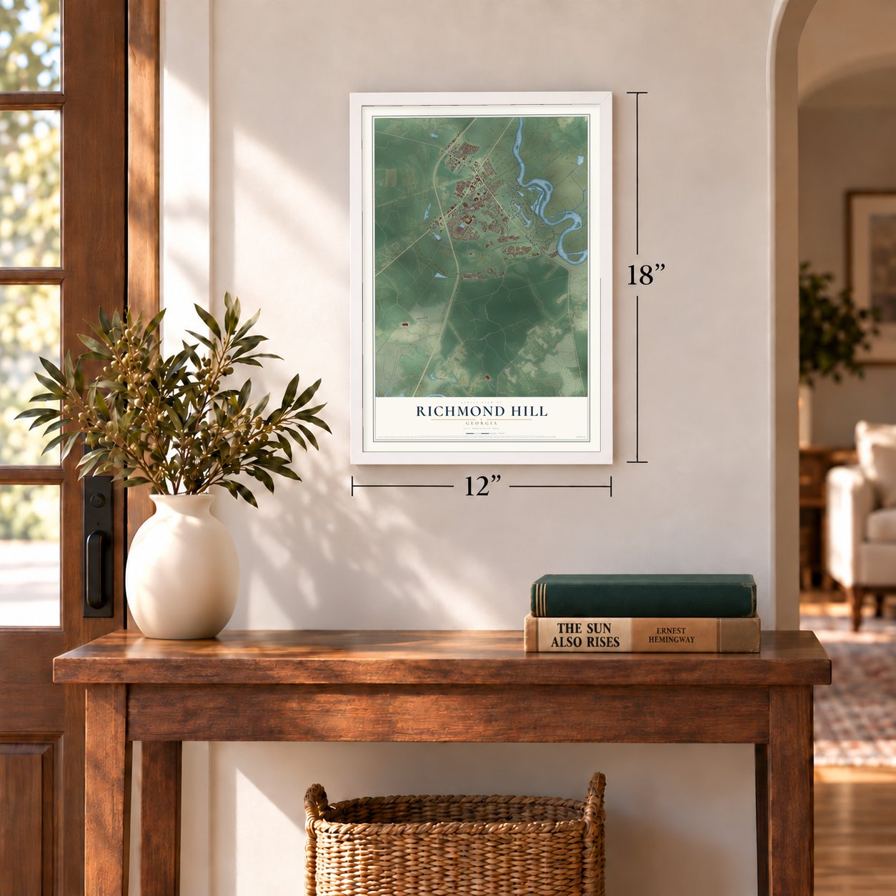
Unframed archival matte, a black wood frame or a white wood frame.
Up close
Geography Worth Displaying
This map was created using accurate cartographic data and authoritative geographic sources, including the U.S. Geological Survey (USGS) and FEMA. The map brings together terrain, waterways, roads, and building detail. The majority of the streets are labeled, houses are accurately depicted, and the topography is derived from government sources. Combining local data with carefully composed color and shading leads to this beautifully detailed Richmond Hill artwork for your wall.
Rather than simply showing street outlines, we’ve included as many of the street names as we could reasonably fit on the map while keeping their names legible. Zoom in on the high resolution preview to see exactly what’s on the map. We truly set out to create a statement piece for anyone who loves Richmond Hill. So whether it’s for you, or a gift for someone you love, we hope this map of Richmond Hill brings back fond memories.
Explore the full map of Richmond Hill, Georgia and read about the local places it shows.
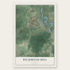
Find your street
Names on the Richmond Hill map
Every name below is printed on this map. Look for your street, your school, the park where you played, or the pond down the road.
Places and landmarks2
- Richmond Hill City Hall
- Brisbon
Streets and roads112
- Ford Avenue
- Ocean Highway
- Bryan Neck Road
- Cherry Hill Drive
- Little Lulu Lane
- Harris Trail Road
- Dublin Drive
- Willis Old Field 19
- Bristol Way
- Tranquilla Hill Road
- George Oliver Road
- Belfast Siding Road
- Warren Hill 10
- Deep Creek Road
- Waybridge Way
- Port Royal Road
- Timber Trail
- Sterling Links Way
- Young Way
- White Oak Lane
- Rice Gate Drive
- Belfast Keller Road
- Piercefield Drive
- Brisbon Road
- Osprey Drive
- Warren Hill
- Longwood Drive
- Cranston Circle
- Laurel Hill Circle
- Myrtle Grove Lane
Show all 112 streets
- Wild Honey Court
- Rushing Street
- Superjack Swamp Road
- Seascape Road
- Hogan Drive
- Cedar Street
- Edsel Drive
- Excel Drive
- Miner Drive
- Casey Drive
- McAllister Landing
- O'Hara Drive
- Wildcat Drive
- Hardwicke Lane
- Shady Hill Circle
- Butler Road
- Steven Street
- Ford Place
- Magnolia Street
- Carter Street
- Shelton Street
- Ivey Street
- Clark Street
- Camellia Street
- Flint Creek Drive
- Maple Street
- Mulberry Drive
- Bodafor Trail
- Hall Street
- Forest Street
- Lewis Drive
- Ellis Drive
- Town Centre Drive
- Silk Hope Drive
- Silk Hope Road
- Ford Way
- Greenwich Drive
- George Oliver Spr
- Sterling Woods Drive
- Frances Meeks Way
- River Oak Drive
- Falcon Drive
- Waverly Lane
- Wedge Circle
- Bee Keeper Court
- Canyon Oak Loop
- Plantation Way
- Willow Oak Road
- Spanish Moss Drive
- Kroger Drive
- Goulds Tomb Road
- Shady Oak Circle
- Landing Way
- Parker Lane
- Cherokee Street
- Cut Off Drive
- Richmond Way
- Egret Circle
- Blue Lake Street
- Triston Drive
- Pinecrest Street
- Laurel Street
- Lonnie Drive
- Golden Grove Lane
- Jimmy Blige Lane
- Bell Grove Circle
- Boyd Drive
- Captains Walk
- Savannah Lane
- Live Oak Drive
- Sailmaker Lane
- Lullwater Drive
- Ainsdale Drive
- Dinky Miner Lane
- Whitaker Way North
- Oleander Street
- Tupelo Trail
- Winding Way
- Vining Way
- Quail Lane
- Bass Drive
- Fox Road
Names are listed as they appear on the printed map. Zoom into the product photos to find them.
About Richmond Hill, Georgia
Richmond Hill is a city of 16,633 people in Bryan County. The Ogeechee River forms its eastern edge and the county line. The place was once called Ways Station. In the 1930s the industrialist Henry Ford picked it for his winter home after a single visit. He built the Ford Farms along the river, on ground where Richmond Plantation had stood until soldiers from General William T. Sherman's army burned it at the end of the March to the Sea.
Ford's holdings grew to 85,000 acres of farms and timber, and most of that land now belongs to the State of Georgia or the timber company ITT Rayonier. When people suggested renaming the town Ford, he turned the idea down. Instead Ways Station took the name Richmond Hill, after the site of his home on the riverbank, and the city was incorporated in 1962.
- Ford's kindergarten and chapelFord paid for several public buildings in town, among them a kindergarten and a chapel. The Richmond Hill Historical Society now runs its museum in the old kindergarten, and St. Anne's Catholic Church worships in the chapel. Both stand on Ford Avenue, Georgia State Route 144, inside the city limits.
- From plantation to resortThe Ford Plantation has since been rebuilt as a luxury resort, with cottages for vacationers, a clubhouse, tennis and golf. Another plantation, Myrtle Grove, has served as a setting for several movies and television productions.
- Growth since the 1970sAfter the Civil War the population held steady until Ford arrived. In the early 1970s subdivisions started going up, from starter homes to gated golf communities, and locals credit much of the growth to nearby Fort Stewart. The 2020 census counted 16,633 people, almost 80% more than the 9,281 of 2010.
Keep exploring Georgia
Richmond Hill is one of 1,042 Georgia towns we've mapped. Every dot on the map is a print of its own.
The search covers every state, Georgia first.
Near Richmond Hill
Order 2 or more town maps and save 10%. Shown in the size and finish you picked above, so they hang as a set.
- Georgetown 12" x 18" / Archival Matte Print $39.99
- Henderson 12" x 18" / Archival Matte Print $39.99
- Midway 12" x 18" / Archival Matte Print $39.99
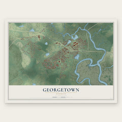

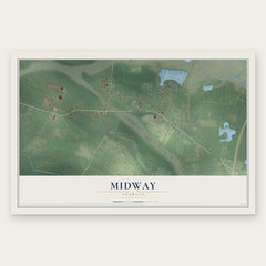
More maps nearby: Savannah, Vernonburg, Montgomery, Riceboro and Pooler.
The art of mapping a place
How This Map Was Made
Real places. Remarkable detail. Discover the layers that turn geographic data into a map of home.

The view from above
Aerial imagery reveals the character of the land: woodland, open fields, and the patterns of a place.

The shape of the land
Elevation data brings hills, valleys, and subtle changes in the landscape into view.

The details of home
Roads, waterways, and building footprints come together to make the map feel unmistakably local.

Geography becomes art
Considered color, shading, and typography bring the layers together in a map made for your wall.


Process illustrated with Mendon, Massachusetts. Aerial imagery: USDA NAIP. Terrain: USGS 3D Elevation Program. Map details and finished artwork: KNOWOL.
The Details
About This Print
Choose an archival matte print, or a black or white Ayous wood frame. The archival matte print is unframed.
Select your size and finish above to see the matching product image and price.
Materials & Craftsmanship
A contemporary map with the character of a classic atlas, printed on archival matte paper. Optional frames are made from Ayous wood.
Your printed map does not include the watermark shown in the full-map preview.
Shipping & Delivery
Free shipping within the United States. Every print is made to order in the USA.
Buying a gift? Add a note in your cart and we'll include it. We never put prices in the package.
Prints ship within 2 to 3 business days. Allow 7 to 10 days total from ordering for delivery. Timing may vary during holidays or periods of high order volume.
Read our shipping policy.
Returns and damaged prints
Each print is made to order. Change-of-mind refunds are not available after production.
If your print arrives damaged, misprinted or incorrect, contact support@knowol.com within 30 days of receiving it. Include your order number, photos and a description of the issue.
Read our full refund and replacement policy. For questions about your order, email support@knowol.com.