
Search for another town

Free U.S. delivery 7 to 10 days after you order
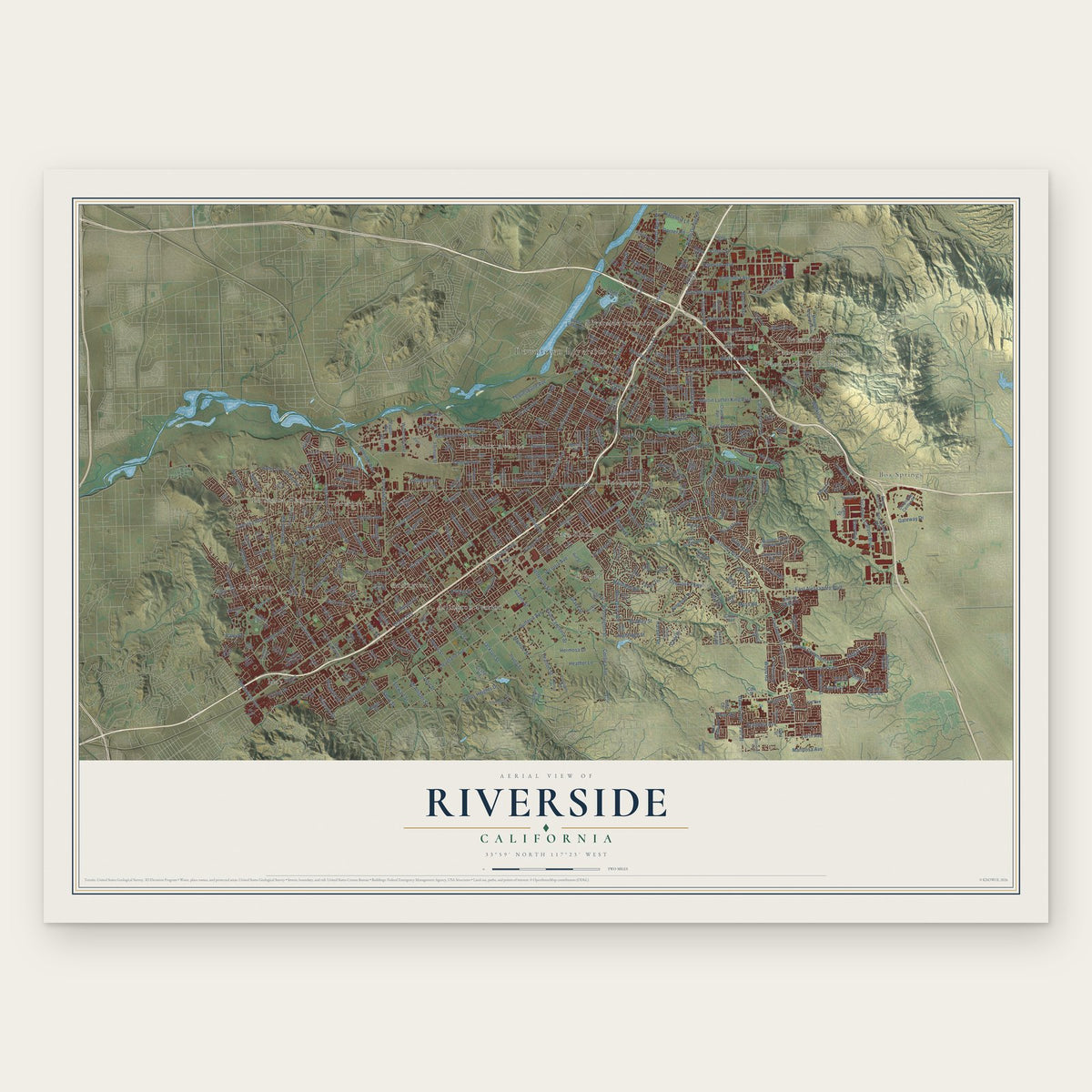
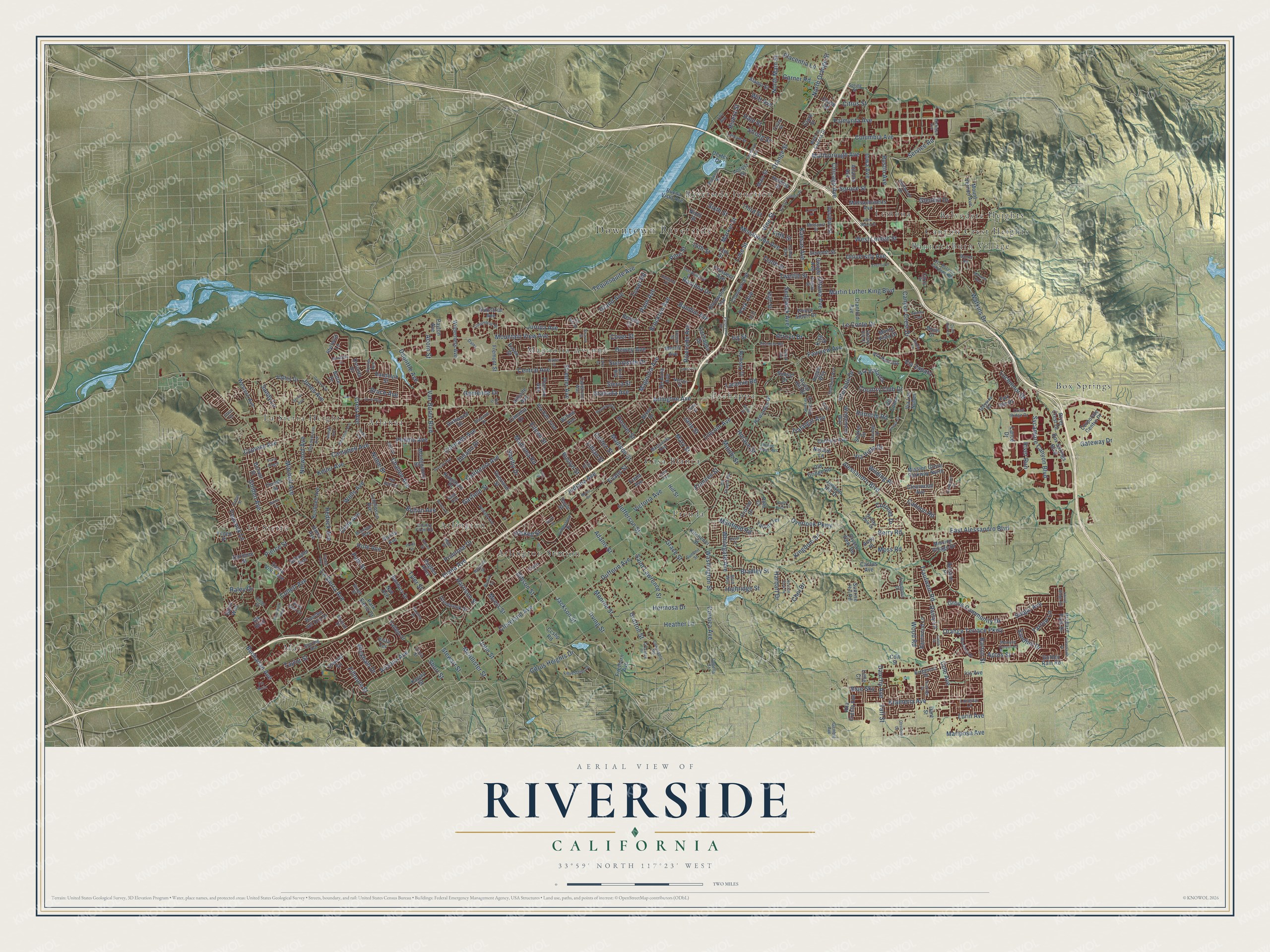
Riverside, California Map Art
Building by building, with labeled streets and shaded relief.
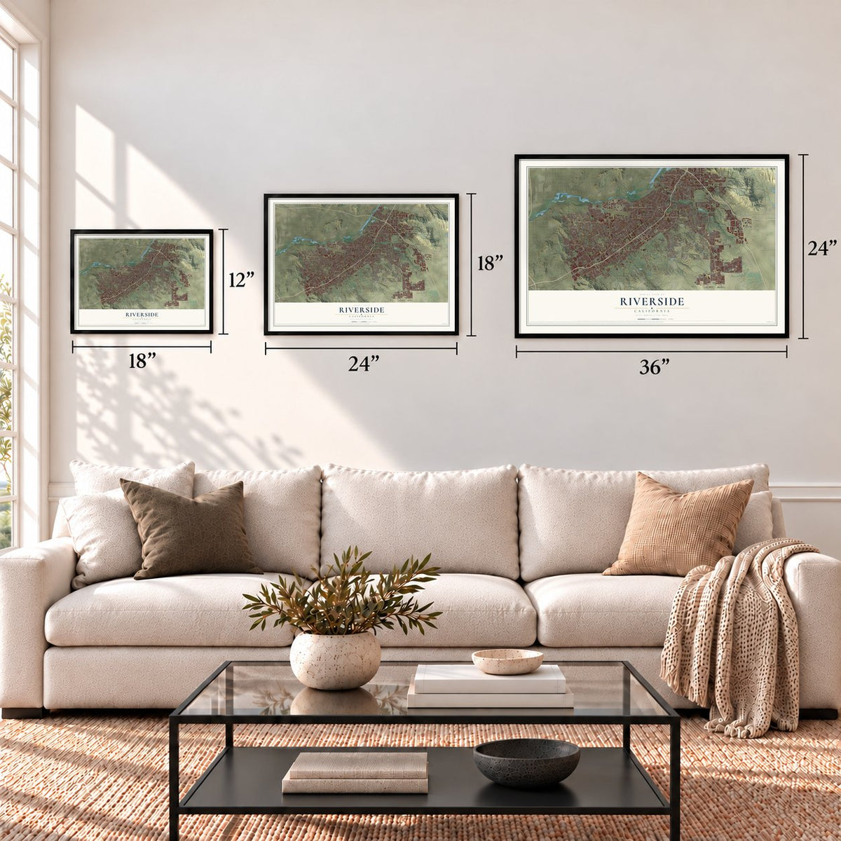
12" x 18" Archival Matte Print
A Map of Home. A Work of Art.
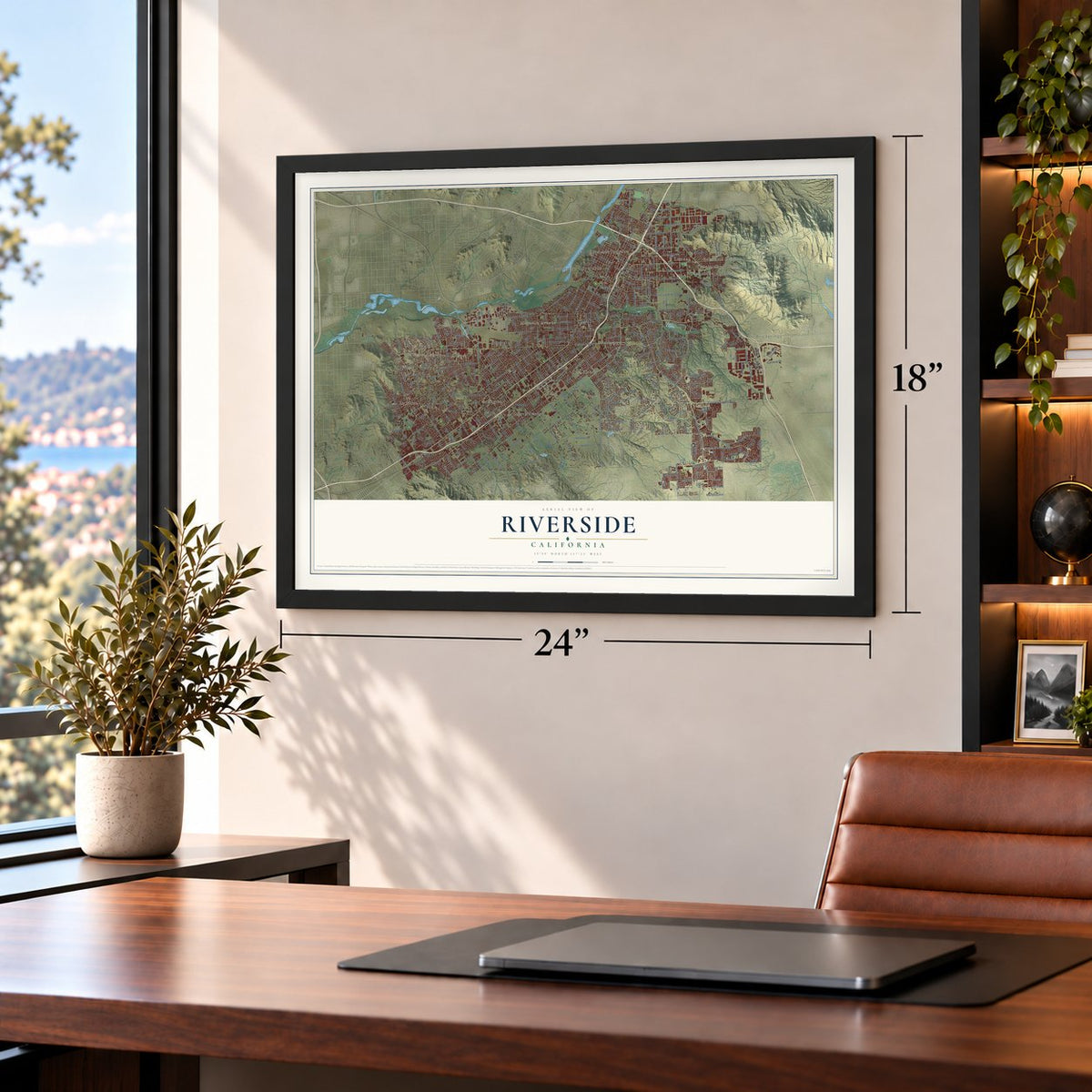
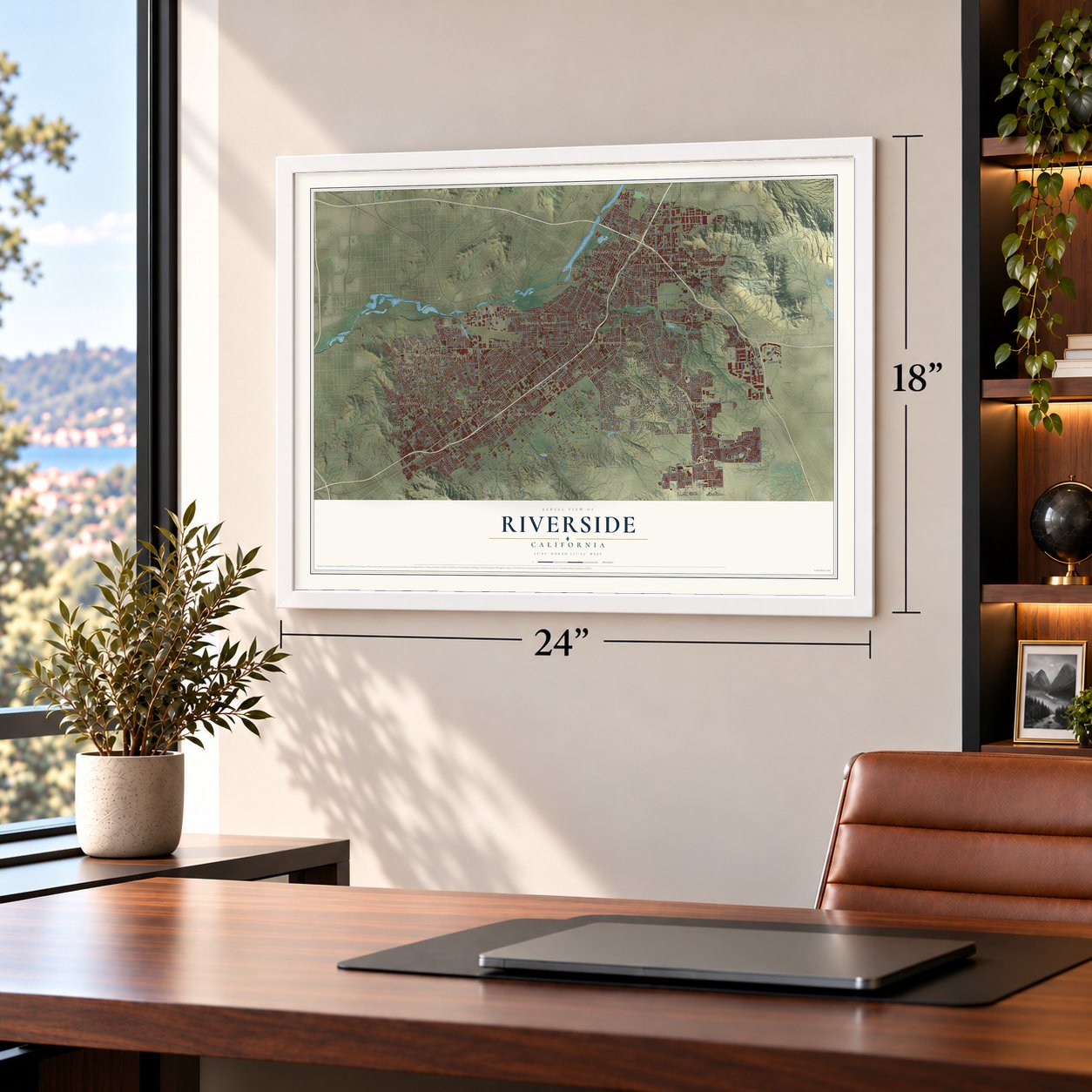
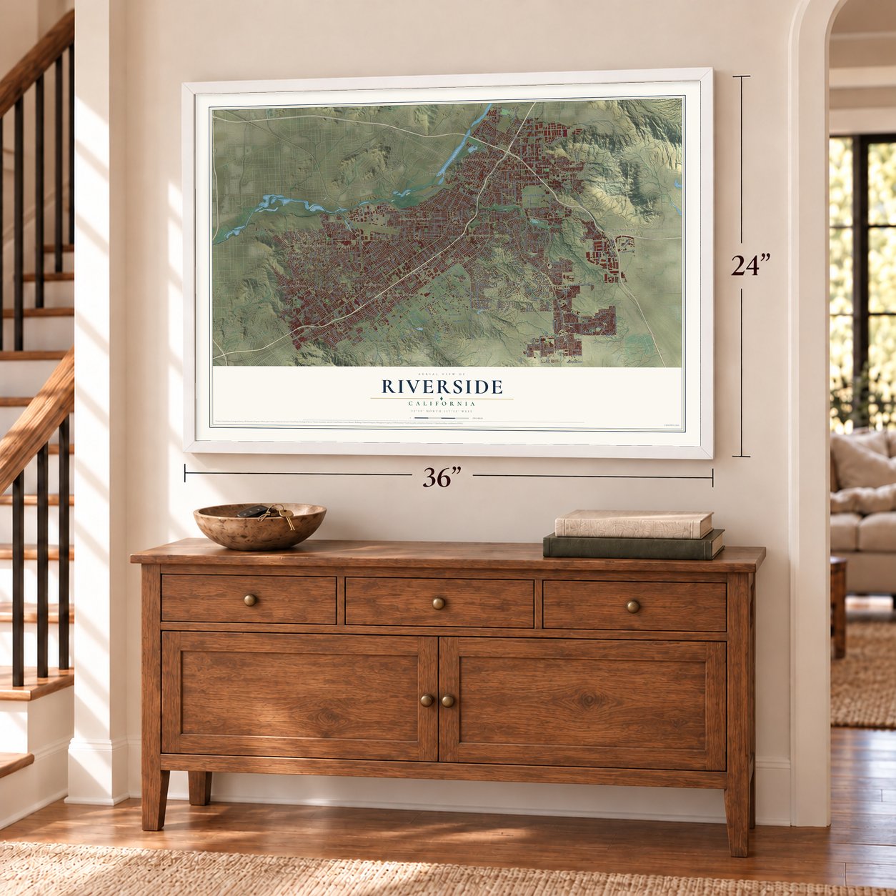
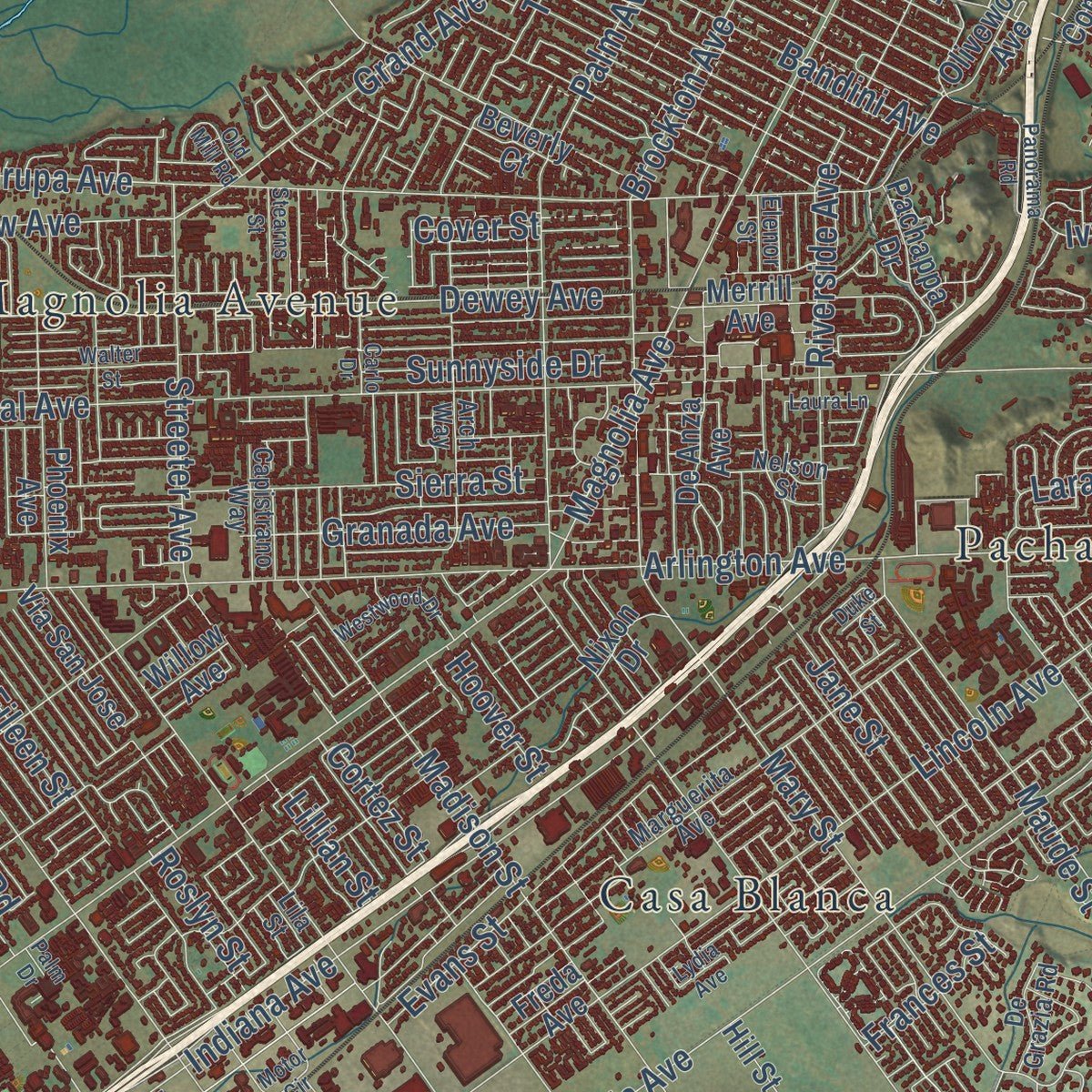
Explore Riverside, California from a whole new perspective. Created using aerial imagery and detailed geographic data, this map captures Riverside building by building, with labeled streets, familiar landmarks, and shaded topographical relief that highlights the natural contours of the landscape.
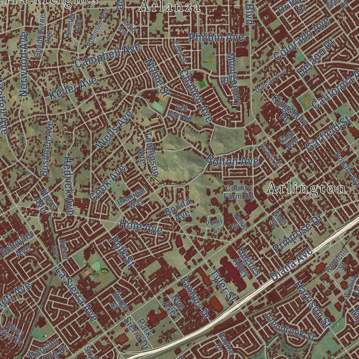
Combining modern data with the timeless character of a vintage atlas, this map is just as interesting up close as it is beautiful on the wall. Whether you grew up in Riverside, spent memorable years there, or call it home today, this unique map is a great way to celebrate a place that means something to you. Zoom in on the preview to look for your street, and then order a print to put your memories on the wall.
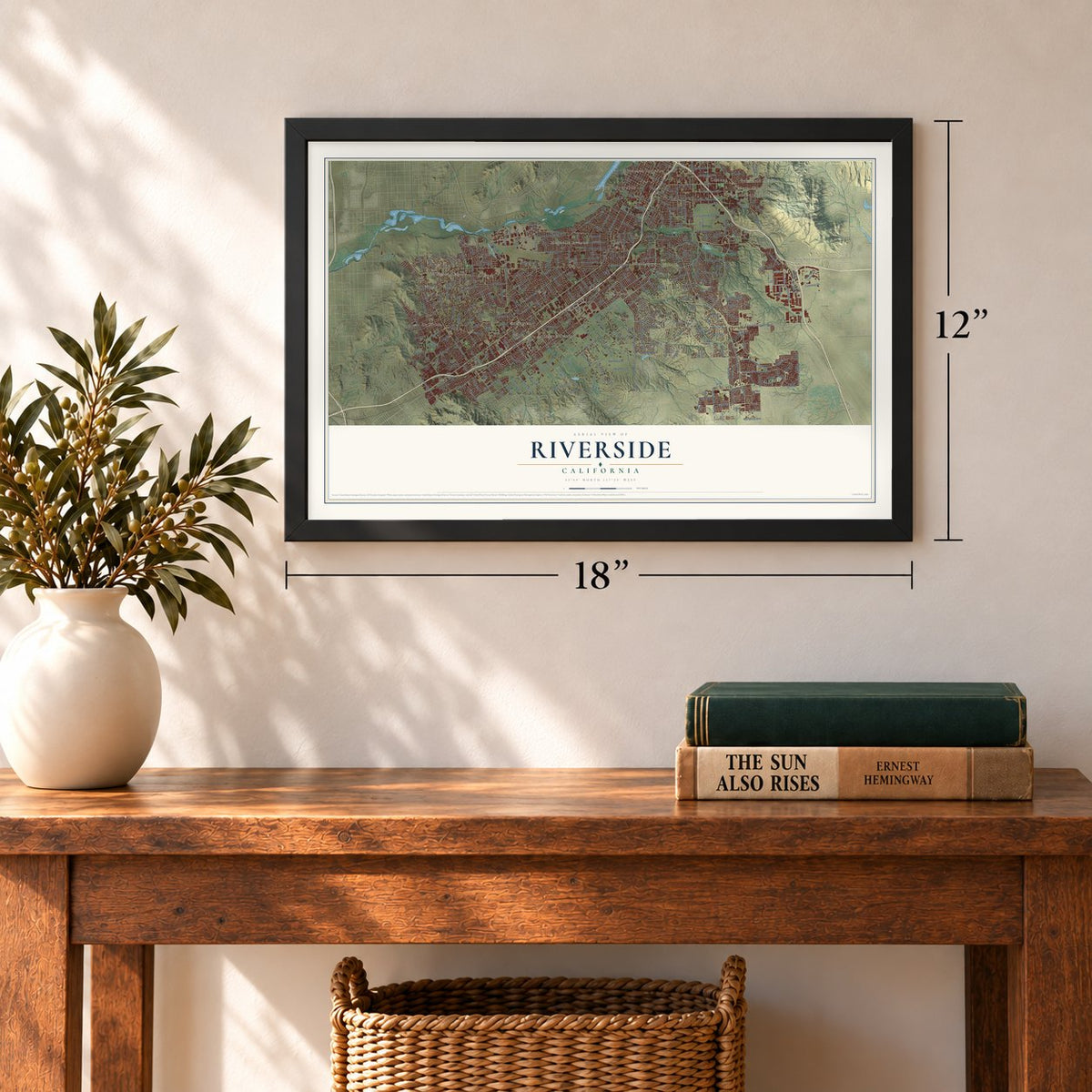
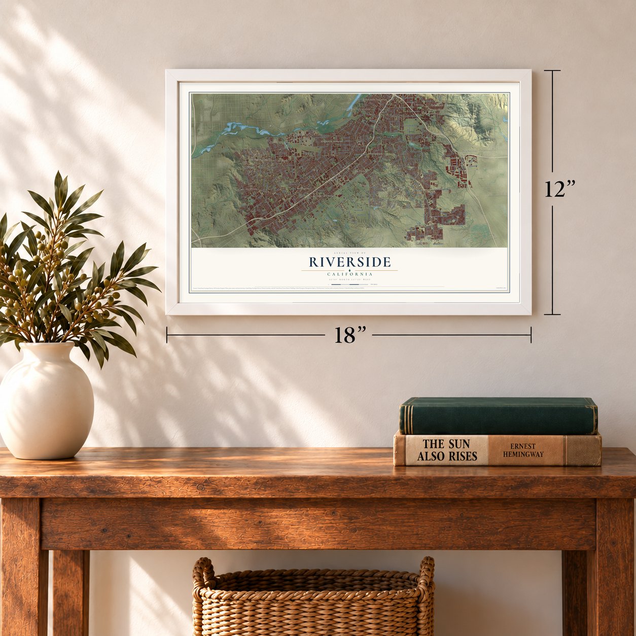
Three ways to hang it
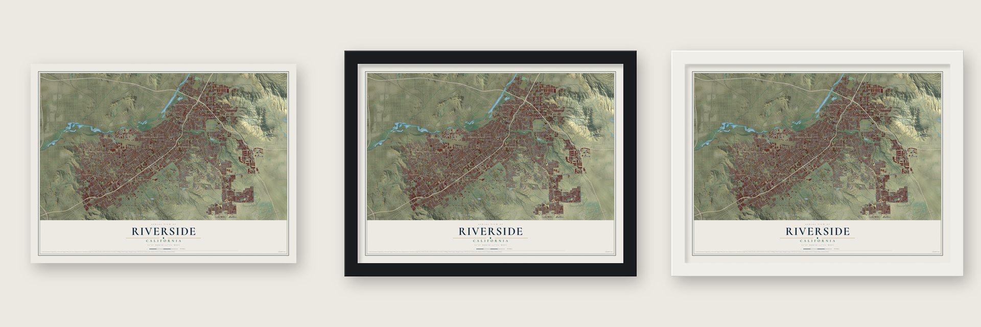
Unframed archival matte, a black wood frame or a white wood frame.
Up close
Geography Worth Displaying
This map was created using accurate cartographic data and authoritative geographic sources, including the U.S. Geological Survey and the Census Bureau. The map brings together terrain, waterways, roads, and building detail. The majority of the streets are labeled, houses are accurately depicted, and the topography is derived from government sources. Combining local data with carefully composed color and shading leads to this beautifully detailed Riverside artwork for your wall.
Rather than simply showing street outlines, we’ve included as many of the street names as we could reasonably fit on the map while keeping their names legible. Zoom in on the high resolution preview to see exactly what’s on the map. We truly set out to create a statement piece for anyone who loves Riverside. So whether it’s for you, or a gift for someone you love, we hope this map of Riverside brings back fond memories.
Read the story behind this map of Riverside, California from 2026.
Find your street
Names on the Riverside map
Every name below is printed on this map. Look for your street, your school, the park where you played, or the pond down the road.
Places and landmarks17
- Downtown Riverside
- Arlanza
- Arlington
- Arlington Station
- Bannockburn Village
- Belvedere Heights
- Box Springs
- Canyon Crest Heights
- Casa Blanca
- La Sierra
- La Sierra Heights
- Lemona
Show all 17 places
- Magnolia Avenue
- May
- Pachappa
- Prenda
- Riverside Junction
Streets and roads422
- Arlington Avenue
- Van Buren Boulevard
- Victoria Avenue
- Central Avenue
- Indiana Avenue
- Jurupa Avenue
- Lincoln Avenue
- Tyler Street
- La Sierra Avenue
- Jackson Street
- Monroe Street
- Cleveland Avenue
- Chicago Avenue
- Dufferin Avenue
- Canyon Crest Drive
- Brockton Avenue
- Jefferson Street
- California Avenue
- Adams Street
- Columbia Avenue
- Jones Avenue
- Alessandro Boulevard
- Orange Street
- University Avenue
- Washington Street
- Diana Avenue
- Spruce Street
- Sycamore Canyon Boulevard
- Wood Road
- Overlook Parkway
Show all 422 streets
- Iowa Avenue
- Tequesquite Avenue
- Norwood Avenue
- Harrison Street
- Cypress Avenue
- Barton Street
- East Alessandro Boulevard
- Crest Avenue
- Palm Avenue
- Market Street
- Watkins Drive
- Mitchell Avenue
- Third Street
- Golden Avenue
- Irving Street
- Campbell Avenue
- Madison Street
- Mariposa Avenue
- Trautwein Road
- Wells Avenue
- Garfield Street
- Krameria Avenue
- Gratton Street
- Collett Avenue
- Twelfth Street
- Palmyrita Avenue
- Myers Street
- Lurin Avenue
- West Linden Street
- Pierce Street
- 14th Street
- Orange Terrace Parkway
- Mission Inn Avenue
- North Orange Street
- Grace Street
- Kansas Avenue
- Via Vista Drive
- Sunnyside Drive
- Hole Avenue
- Martin Luther King Boulevard
- Tenth Street
- Marlborough Avenue
- Hermosa Drive
- Dewey Avenue
- Riverside Avenue
- Park Avenue
- Bradley Street
- Vine Street
- Hedrick Avenue
- Fairview Avenue
- Challen Avenue
- Pine Street
- Lochmoor Drive
- Fifth Street
- Mary Street
- Sixth Street
- Buchanan Avenue
- Lime Street
- Colorado Avenue
- Service Road
- Grand Avenue
- Sierra Street
- Ransom Road
- Peacock Lane
- McAllister Street
- Arroyo Drive
- Polk Street
- Sedgwick Avenue
- Strong Street
- North Main Street
- Bandini Avenue
- Saint Lawrence Street
- Mountain View Avenue
- Grove Community Drive
- Maude Street
- Kingdom Drive
- Granada Avenue
- Fillmore Street
- Streeter Avenue
- Cole Avenue
- Ottawa Avenue
- Dauchy Avenue
- Horace Street
- Gibson Street
- Noble Street
- Ramona Drive
- Heather Lane
- Cook Avenue
- Rustin Avenue
- Le Conte Drive
- Garner Road
- Berry Road
- Evans Street
- Philbin Avenue
- Tower Road
- Highridge Street
- Laramie Road
- John Street
- Country Club Drive
- Cannon Road
- Taft Street
- Rivera Street
- Siegal Avenue
- Bolton Avenue
- Delano Drive
- Citrus Heights Drive
- Keller Avenue
- Jane Street
- Arizona Avenue
- Doolittle Avenue
- Coronet Drive
- Via Zapata
- Trafalgar Avenue
- Muirfield Road
- Whitegate Avenue
- Corsica Avenue
- Harbart Drive
- Wilding Place
- Placentia Lane
- Eileen Street
- Citrus Street
- Raley Drive
- Moss Road
- Shelby Drive
- Primrose Drive
- Glenhill Drive
- Yarrow Lane
- Sandhill Drive
- Cover Street
- Sandy Lane
- Via Vallarta
- Stewart Street
- Wickham Drive
- Intervale Drive
- Madrona Road
- Gemende Drive
- Choi Drive
- Bruce Avenue
- Haskell Street
- Gateway Drive
- Daisy Lane
- Cortez Street
- River Run
- Acorn Street
- Aptos Street
- Frances Street
- Lillian Street
- Hoover Street
- Blue Sky
- Roslyn Street
- Ivy Street
- Taylor Street
- Hale Street
- Short Street
- Witt Avenue
- Hawarden Drive
- Massachusetts Avenue
- Mount Vernon Avenue
- Main Street
- Mission Grove Parkway North
- Ninth Street
- Sierra Vista Avenue
- Box Springs Boulevard
- Locust Street
- Prospect Avenue
- Century Avenue
- Bushnell Avenue
- Merrill Avenue
- Cranford Avenue
- Valley Drive
- 13th Street
- Olivewood Avenue
- Hillside Avenue
- Seventh Street
- Tomlinson Avenue
- Fair Isle Drive
- Prince Albert Drive
- Dwight Avenue
- Fremont Street
- Crystal View Terrace
- Commerce Street
- Montgomery Street
- Dexter Drive
- Shaker Drive
- Barnwood Lane
- Western Avenue
- Phoenix Avenue
- Atlanta Avenue
- Essex Street
- De Anza Avenue
- Bonita Avenue
- Alta Cresta Avenue
- Rumsey Drive
- Mission Village Drive
- Wilderness Avenue
- Via San Jose
- Argyle Way
- Durahart Street
- Randolph Street
- Monte Vista Drive
- Nixon Drive
- Buena Vista Avenue
- Camelia Drive
- Dorinda Drive
- Ccshp Road
- Canyon Hill Drive
- Windemere Way
- Golden Rain Road
- Sunset Drive
- River Crest Drive
- Clearwood Avenue
- Old Bridge Road
- Overland Street
- Idyllwild Lane
- Via Pintada
- Cactus Avenue
- Royal Hill Drive
- Glenbrook Street
- Kingsbury Place
- Rancho del Oro Drive
- Beverly Court
- Clark Street
- Driftwood Drive
- Banbury Drive
- Via Loma
- Industrial Avenue
- Hughes Alley
- Alamo Street
- Pachappa Drive
- Kitchener Street
- Corporate Centre Place
- Polo Court
- Freda Avenue
- Orozco Drive
- Talcey Terrace
- Lance Drive
- Tilden Place
- Kayjay Street
- Orchard Park Drive
- Vallejo Street
- Chase Road
- Park Sierra Drive
- Firethorn Avenue
- Inwood Drive
- Holding Street
- Payton Avenue
- Ralston Place
- Bolivar Street
- Carmine Street
- Schuyler Avenue
- Via Las Nubes
- Natalie Lane
- Butte Drive
- Little Court
- Andy Place
- Iris Avenue
- Sunrise Hill Road
- Nye Avenue
- High Street
- Willow Avenue
- Baird Way
- Thrush Drive
- Elk Boulevard
- Hiers Avenue
- Dant Street
- Bruin Drive
- Vista Terrace
- Hill Street
- Doyle Street
- Colt Street
- King Street
- Redwood Drive
- West La Cadena Drive
- Chadbourne Avenue
- Elsinore Road
- Marguerita Avenue
- Donald Avenue
- Constable Road
- Arch Way
- Claridge Drive
- Terracina Drive
- Nelson Street
- Summit Street
- Glencoe Drive
- Golden Vale Drive
- Cross Street
- Columbus Street
- Capistrano Way
- Crest Ridge Drive
- Comer Avenue
- Westerly Drive
- Bergamont Drive
- River Glen Drive
- Equestrian Drive
- Sheffield Avenue
- Limestone Drive
- Spring Street
- Sterling Avenue
- Ambs Drive
- Ucr Botanic Gardens Road
- Sunset Ranch Drive
- Speyside Road
- De Grazia Road
- Sage Avenue
- Armagosa Drive
- Lonestar Lane
- Kentwood Drive
- Latham Street
- Lila Street
- Branigan Way
- Gamble Avenue
- Missouri Street
- Racine Drive
- Cherry Hill Drive
- Muir Street
- Farrier Avenue
- Orion Street
- Ruth Way
- Rudicill Street
- Angelo Street
- Capella Street
- County Farm Road
- Burge Street
- Skylark Drive
- Barret Road
- Elenor Street
- Turley Street
- Citrus Drive
- Dales
- Fairmount Boulevard
- West Blaine Street
- Stover Avenue
- East La Cadena Drive
- Riverwalk Parkway
- Robinson Avenue
- Anna Street
- Walter Street
- Gaylord Street
- Babb Avenue
- Horizon View Drive
- Motor Circle
- Panorama Road
- Michigan Avenue
- Omega Street
- Jo Jo Way
- Westwood Drive
- Mesquite Canyon Road
- Everton Place
- Lyman Street
- Duncan Avenue
- Sunridge Drive
- Rolling Ridge Road
- Old Mill Road
- Mandalay Court
- Croyance Drive
- Greenlawn Street
- Stearns Street
- Purdy Street
- Quail Run Road
- Sinclair Avenue
- Ellen Street
- Via Maria
- Masters Avenue
- Eagle Crest Court
- Laurel Ridge Road
- Carlo Drive
- Acacia Street
- Copley Lane
- Ironwood Drive
- Falkirk Avenue
- Highland Place
- Dahlia Lane
- Obsidian Drive
- Red Bluff Road
- Apache Trail
- Laura Lane
- Julia Way
- Wichita Drive
- Baker Lane
- Iris Street
- Neil Street
- Basel Place
- Porto Alegre
- Drexel Avenue
- Dawes Street
- Cabin Place
- Duke Street
- Lydia Avenue
- Clara Court
- Bond Street
- Stark Street
- Palm Drive
Names are listed as they appear on the printed map. Zoom into the product photos to find them.
About Riverside, California
Riverside is a city of 314,998 people and the seat of Riverside County, and it takes its name from its place beside the Santa Ana River. Cahuilla and Serrano people lived here in the late 18th and early 19th centuries, and Californios such as Bernardo Yorba and Juan Bandini later set up ranches. In the 1860s Louis Prevost tried to raise silk here with the California Silk Center Association, but the venture soon failed.
John W. North, an abolitionist from New York who had already founded Northfield, Minnesota, bought some of the failed venture's land. In March 1870 he spread posters announcing a new colony in California. North opposed drinking, so when the town found four saloons at its founding, it kept raising their license fees until they moved away. Settlers and investors from England and Canada brought their own pastimes, and Riverside built the first polo field and golf course in southern California.
“Miller (1857-1935) made the adobe bricks for a small 12-room guest house that he opened in 1876.”
- Three orange trees in 1874Riverside planted its first orange trees in 1871. In 1874 Eliza Tibbets received three Brazilian navel orange trees from her friend William Saunders, a horticulturist at the U.S. Department of Agriculture, and planted them on her property. They thrived in the warm climate, and the navel orange industry grew quickly. One of the original trees still grows here, the parent of every navel orange tree on the West Coast.
- The richest city by 1895By 1882 California had more than half a million citrus trees, and nearly half of them grew in Riverside. Refrigerated railroad cars and new irrigation systems helped turn the groves into wealth, and by 1895 Riverside was the richest city in the United States in income per person.
- La Placita, founded in 1843The Eastside neighborhood began as La Placita, a settlement founded in 1843, before the city itself existed. It grew into a colonia of Mexican immigrants who worked in the orange groves, orchards and produce fields. Another Mexican community took shape in the barrio of Casa Blanca in the early 20th century.
- Gone with the Wind's first showingThe Riverside Fox Theater held the first showing of Gone with the Wind in 1939. The city later bought the old cinema and rebuilt it as a performing arts theater with 1,600 seats and a stage large enough for Broadway shows. The work was finished in 2009, and Sheryl Crow opened the new hall in January 2010 to a nearly sold-out crowd.
- March Field since 1918March Joint Air Reserve Base, on Riverside's eastern edge, was founded in 1918 and is the oldest Air Force base still operating west of the Mississippi. Riverside National Cemetery opened in 1976. It is the largest cemetery run by the National Cemetery Administration, and since 2000 it has handled more burials than any other in the system.
Keep exploring California
Riverside is one of 1,990 California towns we've mapped. Every dot on the map is a print of its own.
The search covers every state, California first.
Near Riverside
Order 2 or more town maps and save 10%. Shown in the size and finish you picked above, so they hang as a set.
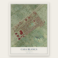
- Casa Blanca 12" x 18" / Archival Matte Print $39.99
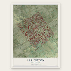
- Arlington 12" x 18" / Archival Matte Print $39.99
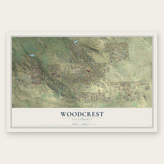
- Woodcrest 12" x 18" / Archival Matte Print $39.99
More maps nearby: El Sobrante, Jurupa Valley, Highgrove, March ARB and Grand Terrace.
The art of mapping a place
How This Map Was Made
Real places. Remarkable detail. Discover the layers that turn geographic data into a map of home.

The view from above
Aerial imagery reveals the character of the land: woodland, open fields, and the patterns of a place.

The shape of the land
Elevation data brings hills, valleys, and subtle changes in the landscape into view.

The details of home
Roads, waterways, and building footprints come together to make the map feel unmistakably local.

Geography becomes art
Considered color, shading, and typography bring the layers together in a map made for your wall.


Process illustrated with Mendon, Massachusetts. Aerial imagery: USDA NAIP. Terrain: USGS 3D Elevation Program. Map details and finished artwork: KNOWOL.
The Details
About This Print
Choose an archival matte print, or a black or white Ayous wood frame. The archival matte print is unframed.
Select your size and finish above to see the matching product image and price.
Materials & Craftsmanship
A contemporary map with the character of a classic atlas, printed on archival matte paper. Optional frames are made from Ayous wood.
Your printed map does not include the watermark shown in the full-map preview.
Shipping & Delivery
Free shipping within the United States. Every print is made to order in the USA.
Buying a gift? Add a note in your cart and we'll include it. We never put prices in the package.
Prints ship within 2 to 3 business days. Allow 7 to 10 days total from ordering for delivery. Timing may vary during holidays or periods of high order volume.
Read our shipping policy.
Returns and damaged prints
Each print is made to order. Change-of-mind refunds are not available after production.
If your print arrives damaged, misprinted or incorrect, contact support@knowol.com within 30 days of receiving it. Include your order number, photos and a description of the issue.
Read our full refund and replacement policy. For questions about your order, email support@knowol.com.