
Search for another town





Free U.S. delivery 7 to 10 days after you order
Roanoke, Virginia Map Art
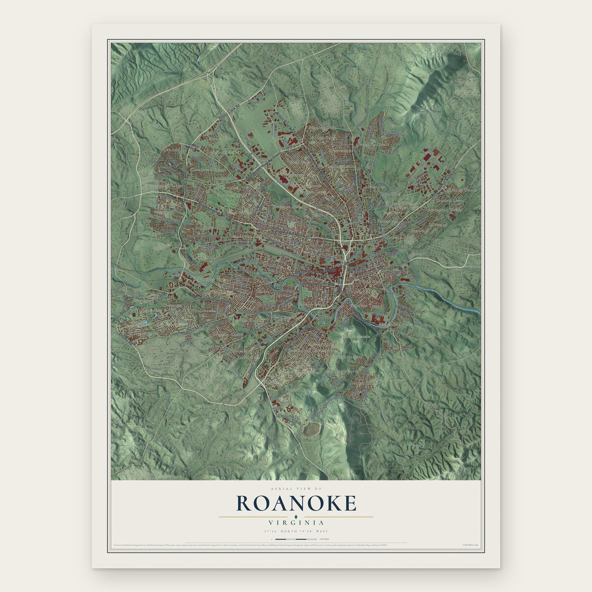
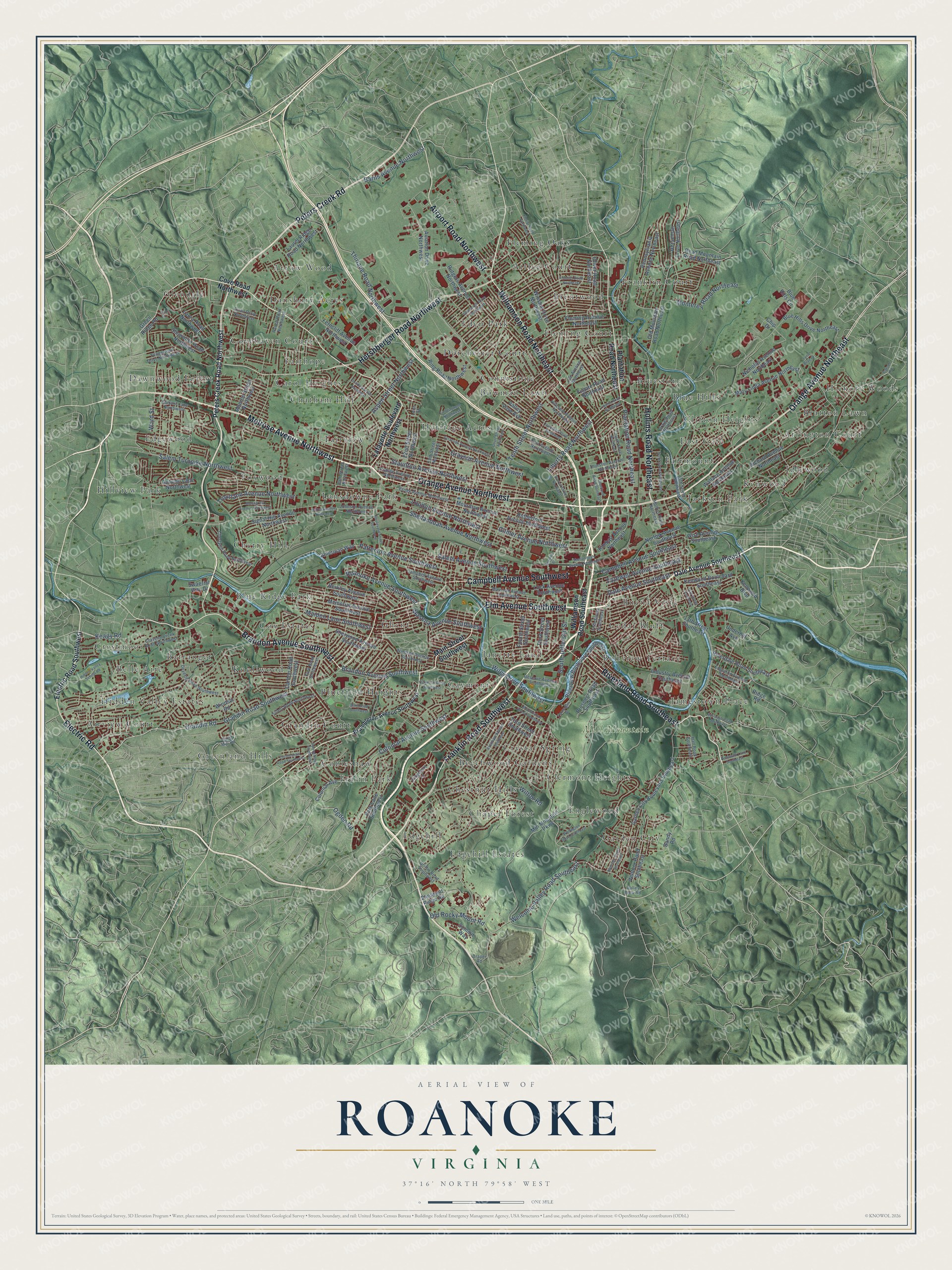
A new map of Roanoke, Virginia, made in 2026 and printed to order on thick archival matte paper.
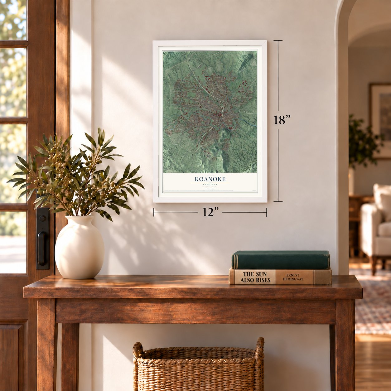
12" x 18" Archival Matte Print
A Map of Home. A Work of Art.
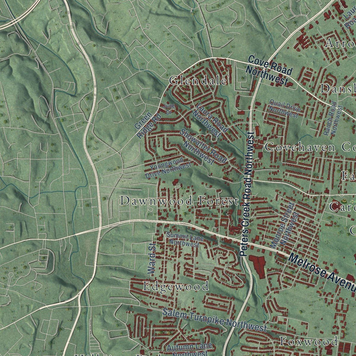
Explore Roanoke, Virginia from a whole new perspective. Created using aerial imagery and detailed geographic data, this map captures Roanoke building by building, with labeled streets, familiar landmarks, and shaded topographical relief that highlights the natural contours of the landscape.
Combining modern data with the timeless character of a vintage atlas, this map is just as interesting up close as it is beautiful on the wall. Whether you grew up in Roanoke, spent memorable years there, or call it home today, this unique map is a great way to celebrate a place that means something to you. Zoom in on the preview to look for your street, and then order a print to put your memories on the wall.
Three ways to hang it
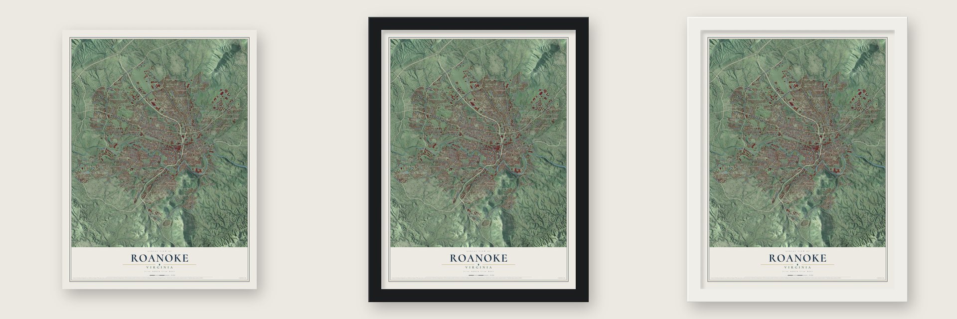
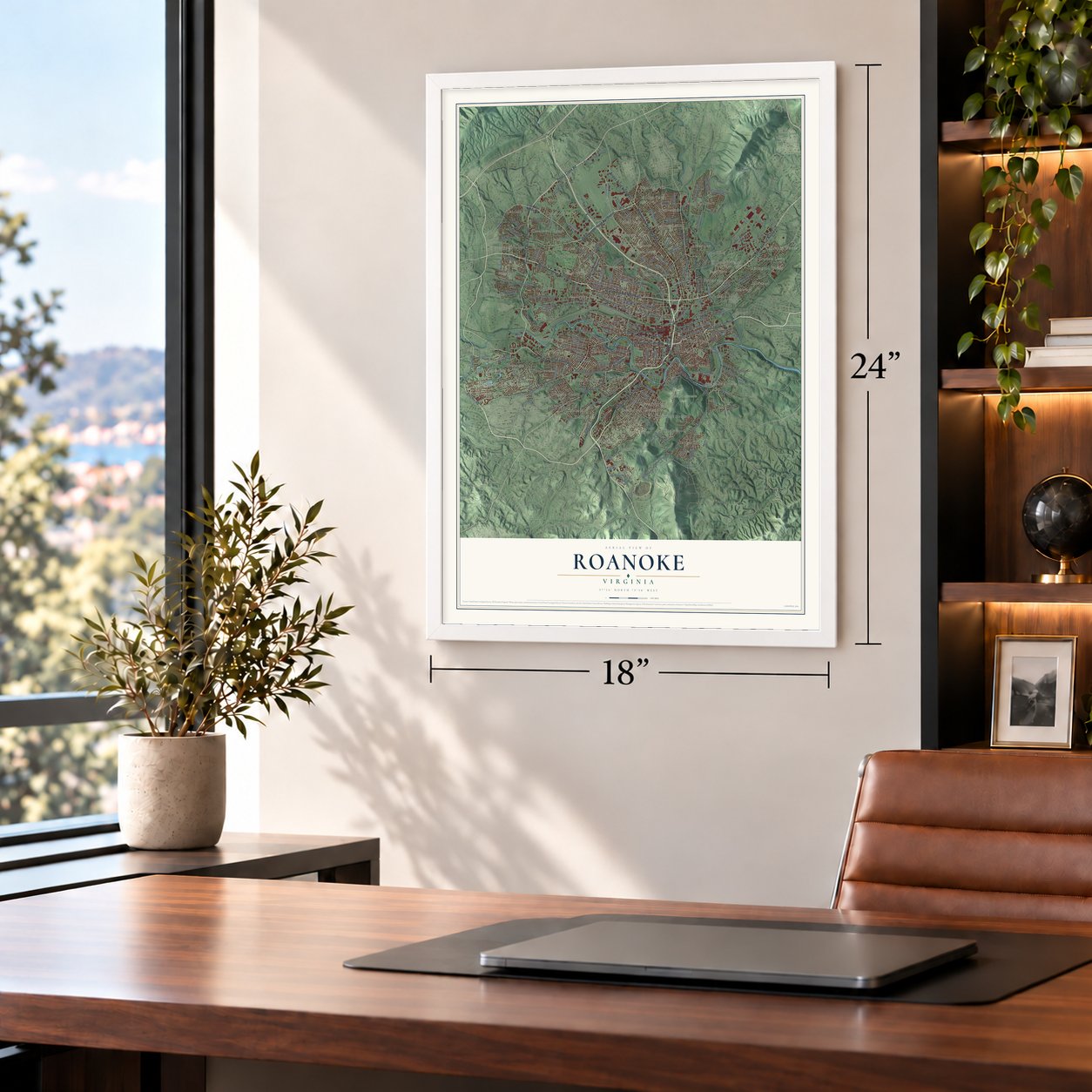
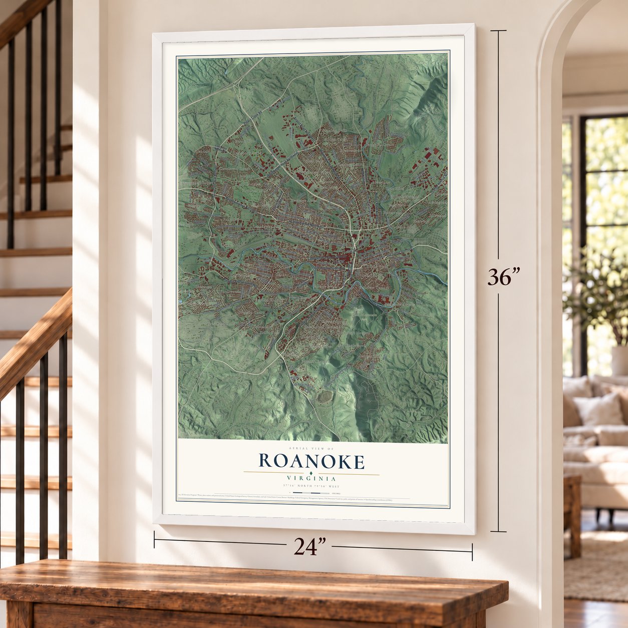
Unframed archival matte, a black wood frame or a white wood frame.
Up close
Geography Worth Displaying
This map was created using accurate cartographic data and authoritative geographic sources, including the U.S. Geological Survey and the Census Bureau. The map brings together terrain, waterways, roads, and building detail. The majority of the streets are labeled, houses are accurately depicted, and the topography is derived from government sources. Combining local data with carefully composed color and shading leads to this beautifully detailed Roanoke artwork for your wall.
Rather than simply showing street outlines, we’ve included as many of the street names as we could reasonably fit on the map while keeping their names legible. Zoom in on the high resolution preview to see exactly what’s on the map. We truly set out to create a statement piece for anyone who loves Roanoke. So whether it’s for you, or a gift for someone you love, we hope this map of Roanoke brings back fond memories.
Read the story behind this map of Roanoke, Virginia from 2026.
About Roanoke, Virginia
Roanoke is a city of 100,011 people on the Roanoke River, in the Blue Ridge of Southwest Virginia. Its first railroad, the Virginia and Tennessee, came through in 1852. The railroad put its depot south of Gainesborough but named the stop for Big Lick, a nearby settlement called after the salt deposits that drew game. Within ten years of the Civil War, six tobacco factories stood near the depot, and the Town of Big Lick got its charter in 1874.
In 1882 town boosters persuaded the Norfolk and Western and the Shenandoah Valley Railroad to meet at Big Lick, and both companies moved their headquarters there. Residents voted to rename the town for Frederick J. Kimball, a railroad executive, but he asked them to call it Roanoke instead. The Town of Roanoke was chartered on February 3, 1882. Railroad workers poured in, and by the end of 1883 the population had passed 5,000, enough for a city charter. Roanoke became a city on January 31, 1884.
“The Roanoke Life Saving and First Aid Crew, organized in May 1928 by Julian Stanley Wise, is recognized as the first independent, all-volunteer rescue squad in the United States.”
- The Magic CityFewer than 700 people lived in Roanoke in 1880, but by 1890 the count topped 16,000. Growth that fast earned it the nickname "The Magic City." The town's services could not keep up. It had no sewers, the ground was marshy, and diphtheria and cholera broke out again and again.
- Hotel Roanoke, opened 1882Frederick J. Kimball picked a wheat field north of the tracks and east of Gainsboro for the railroad's hotel. It opened in 1882 with 69 rooms in the Queen Anne style. After many rebuilds it now has 330 rooms and a Tudor Revival look, and it is listed on the National Register.
- Fun on Mill MountainAn observation tower and the Rockledge Inn opened on top of Mill Mountain in 1892. Mountain Park, with a casino and a roller coaster, opened at its foot in 1903. From 1910 on, a quarter bought a ride up and down the mountain on an incline railway.
- A giant rayon millThe American Viscose Corporation built a plant beside the Roanoke River in 1917. A decade later it employed 5,000 people and was said to be the largest rayon mill in the world.
- The Star City of the SouthIn 1949 the local merchants association put an 88.5-foot illuminated star on top of Mill Mountain to mark the Christmas shopping season. People liked it so much that it now shines all year, and it gave Roanoke its nickname. The Roanoke Star is on the National Register.
Find your street
Names on the Roanoke map
Every name below is printed on this map. Look for your street, your school, the park where you played, or the pond down the road.
Places and landmarks65
- Mill Mountain Park
- Airlee Court
- Airview Court
- Arrington Court
- Arrow Wood
- Barranger
- Beechwood Gardens
- Belle Aire
- Bellview Terrace
- Blue Hills
- Blue Ridge Park
- Bluefield Heights
Show all 65 places
- Bluestone
- Bowman Lawn
- Bratton Lawn
- Brentwood
- Buena Vista
- Carol Heights
- Cedar Bluff
- Chapel Forest
- Chatham Hill
- Cherry Hill
- Chestnut Hills
- Clermont Heights
- Clifton Heights
- Cobleshaw
- Connistone
- Covehaven Court
- Cox Estates
- Crestmoor
- Crystal Spring
- Dansbury Acres
- Dawnwood Forest
- Dorchester Court
- East Gate
- Eden Park
- Edgehill
- Edgehill Estates
- Edgewood
- Englewood
- Fairhope
- Fairmount
- Fairview
- Fleming Court
- Fleming Oaks
- Foxwood
- Fralin Park
- Franklin Court
- Garden City
- Gaymont
- Ghent
- Glendale
- Grandin Court
- Greenland Hills
- Heritage Acres
- Hickory Woods
- Hidden Valley Estates
- Hillview Park
- Idlewood
- Jackson Park
- Jamestown Place
- Janette Land
- Kenwood
- Knollwood
- Lansdowne Park
Streets and roads180
- Melrose Avenue Northwest
- Brandon Avenue Southwest
- Peters Creek Road
- Orange Avenue Northwest
- Electric Road
- Riverland Road Southeast
- Elm Avenue Southwest
- Williamson Road Northeast
- Franklin Road Southwest
- Airport Road Northwest
- Campbell Avenue Southwest
- Orange Avenue Northeast
- Hollins Road Northeast
- Hershberger Road Northwest
- Grandin Road Southwest
- Grandin Road
- Barns Avenue Northwest
- Liberty Road Northwest
- Keagy Road
- Campbell Avenue Southeast
- Salem Turnpike Northwest
- South Jefferson Street
- Plantation Road Northeast
- Thirlane Road Northwest
- Ogden Road
- Patterson Avenue Southwest
- Shenandoah Avenue Northwest
- Tenth Street Northwest
- Salem Avenue Southwest
- Wiley Drive Southwest
Show all 180 streets
- Colonial Avenue Southwest
- Staunton Avenue Northwest
- Loudon Avenue Northwest
- Gilmer Avenue Northwest
- Maiden Lane Southwest
- Roanoke Avenue Southwest
- Welcome Valley Road Southeast
- Tazewell Avenue Southeast
- Old Rocky Mount Road
- Aspen Street Northwest
- Grayson Avenue Northwest
- Monterey Road Northeast
- Troutland Avenue Northwest
- Wasena Avenue Southwest
- Dale Avenue Southeast
- Ward Street
- Wilton Road
- Electric Road Southwest
- Williamson Road Southeast
- Main Street Southwest
- Cove Road Northwest
- Peters Creek Road Northwest
- Lafayette Boulevard Northwest
- Green Ridge Road
- Chip Drive
- 13th Street Southeast
- Memorial Avenue Southwest
- Norfolk Avenue Southeast
- Mill Mountain Parkway
- Prospect Road Southeast
- Underhill Avenue
- Blue Hills Drive Northeast
- Ferncliff Avenue Northwest
- American Way
- Aviation Drive Northwest
- Garden City Boulevard Southeast
- Old Mountain Road Northeast
- Moorman Avenue Northwest
- Oliver Road Northeast
- Sherwood Avenue Southwest
- Richard Avenue Northeast
- Rutherford Avenue Northwest
- Third Street Southwest
- Winsloe Drive Northwest
- Ring Road Northwest
- 22nd Street Northwest
- Riverview Boulevard Southeast
- Wise Avenue Southeast
- Berkley Avenue Southwest
- Pennsylvania Avenue Northeast
- Carlton Road Southwest
- Fourth Street Southwest
- Rutgers Avenue Northwest
- Riverdale Road Southeast
- Mary Linda Avenue Northeast
- Kimball Avenue Northeast
- Showalter Road Northwest
- Ventnor Road Southeast
- Luck Avenue Southwest
- 23rd Street Southwest
- Fugate Road Northeast
- Summit Way
- Kenwood Boulevard Southeast
- Signal Hill Avenue Northwest
- Fleming Avenue Northeast
- Windsor Road
- Horseman Drive Northeast
- Laura Road Northwest
- Read Mountain Road Northeast
- Industry Avenue Southeast
- Nicholas Avenue Northeast
- Laurel Ridge Road Northwest
- Wallace Avenue Northeast
- Autumn Lane Northwest
- Pheasant Ridge Road
- Park Lane Southwest
- Colonial Avenue
- Blue Hills Circle
- Monroe Street Northwest
- Kenwood Boulevard
- Valley View Avenue
- Swaerial Way Drive
- Ridge Road
- Bandy Road
- Brambleton Avenue Southwest
- Garst Mill Road
- Windsor Avenue Southwest
- 19th Street Northwest
- Deyerle Road Southwest
- 13th Street Northeast
- Essex Avenue Northwest
- Hillcrest Avenue Northwest
- Edgerton Avenue Southeast
- Ranch Road Northwest
- Hunt Avenue Northwest
- Marshall Avenue Southwest
- Cherryhill Road Northwest
- Tillett Road Southwest
- Griffin Road Southwest
- Cravens Creek Road Southwest
- Thurston Avenue Northeast
- York Road Southwest
- Summit Lane Northwest
- Fifth Street Southeast
- Youngwood Drive Northwest
- Reserve Avenue Southwest
- Johnson Avenue Northwest
- Quail Drive Northwest
- Lee Avenue Northeast
- Craig Road Northeast
- 29th Street Northwest
- Kingsbury Lane
- Hall Road Southeast
- Valley View Road
- Draper Road
- Leon Street
- Liberty Road Northeast
- Second Street
- Burrell Street Northwest
- Rutrough Road Southeast
- Florist Road Northwest
- Avenham Avenue Southwest
- Florida Avenue Northwest
- Courtland Road Northwest
- Syracuse Avenue Northwest
- Courtland Road Northeast
- Hidden Valley School Road
- Spring Road Southwest
- Shenandoah Avenue Northeast
- Baker Avenue Northwest
- Edinburgh Drive Northwest
- Frontier Road Northeast
- Oakwood Drive Southwest
- McClanahan Street Southwest
- Tenth Street Northeast
- Rolling Hill Avenue Northwest
- Flannagan Drive
- Colgate Street Northeast
- Corbieshaw Road Southwest
- Court Street Northwest
- Boulevard Street Southwest
- Wellington Drive Southeast
- 15th Street Southeast
- Lynn Brae Drive
- Melcher Street Southeast
- Rosewalk Lane Southeast
- Fields Street Northwest
- Blair Road Southwest
- Carson Road
- June Drive
Names are listed as they appear on the printed map. Zoom into the product photos to find them.
The art of mapping a place
How This Map Was Made
Real places. Remarkable detail. Discover the layers that turn geographic data into a map of home.

The view from above
Aerial imagery reveals the character of the land: woodland, open fields, and the patterns of a place.

The shape of the land
Elevation data brings hills, valleys, and subtle changes in the landscape into view.

The details of home
Roads, waterways, and building footprints come together to make the map feel unmistakably local.

Geography becomes art
Considered color, shading, and typography bring the layers together in a map made for your wall.


Process illustrated with Mendon, Massachusetts. Aerial imagery: USDA NAIP. Terrain: USGS 3D Elevation Program. Map details and finished artwork: KNOWOL.
The Details
About This Print
Choose an archival matte print, or a black or white Ayous wood frame. The archival matte print is unframed.
Select your size and finish above to see the matching product image and price.
Materials & Craftsmanship
A contemporary map with the character of a classic atlas, printed on archival matte paper. Optional frames are made from Ayous wood.
Your printed map does not include the watermark shown in the full-map preview.
Shipping & Delivery
Free shipping within the United States. Every print is made to order in the USA.
Buying a gift? Add a note in your cart and we'll include it. We never put prices in the package.
Prints ship within 2 to 3 business days. Allow 7 to 10 days total from ordering for delivery. Timing may vary during holidays or periods of high order volume.
Read our shipping policy.
Returns and damaged prints
Each print is made to order. Change-of-mind refunds are not available after production.
If your print arrives damaged, misprinted or incorrect, contact support@knowol.com within 30 days of receiving it. Include your order number, photos and a description of the issue.
Read our full refund and replacement policy. For questions about your order, email support@knowol.com.
Find your town
Looking for another city?
Find a map of home in our Virginia collection, or any town in the country.
Nearby
Maps of towns near Roanoke
Know someone from one of these towns? Their map makes a great gift.
 Vinton
, Virginia
From $39.99See the map
 Cave Spring
, Virginia
From $39.99See the map
 Hollins
, Virginia
From $39.99See the map
More maps nearby: Salem, Cloverdale, Laymantown, Stewartsville and Glenvar.