
Search for another town




Free U.S. delivery 7 to 10 days after you order
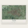
Salem, Virginia Map Art
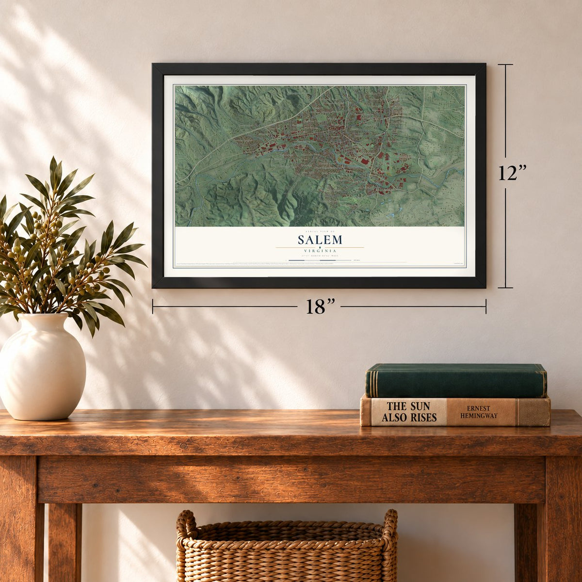
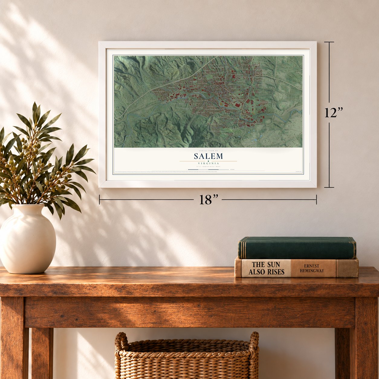
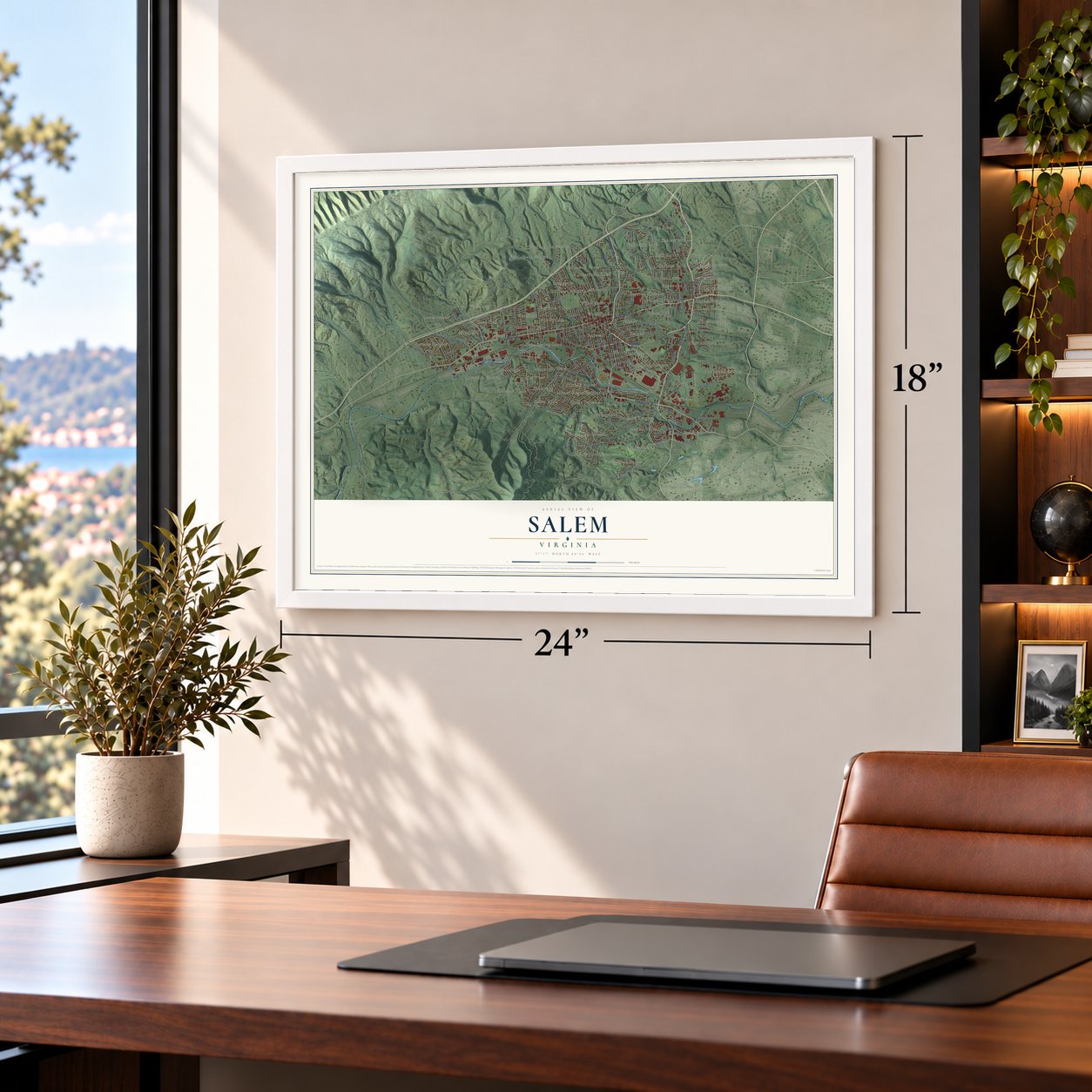
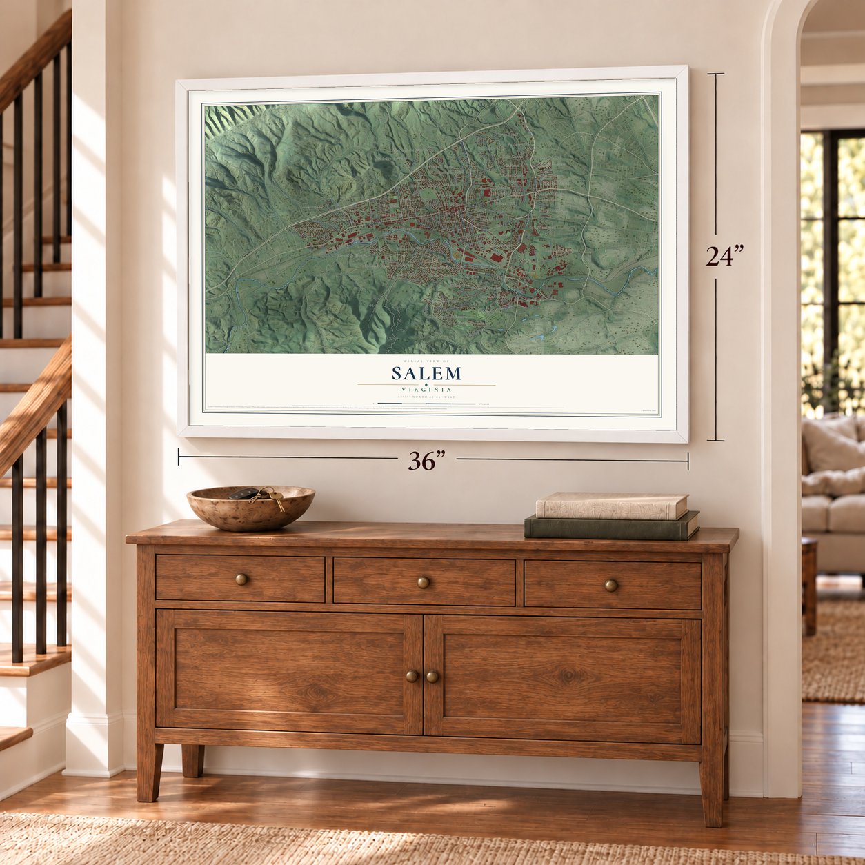
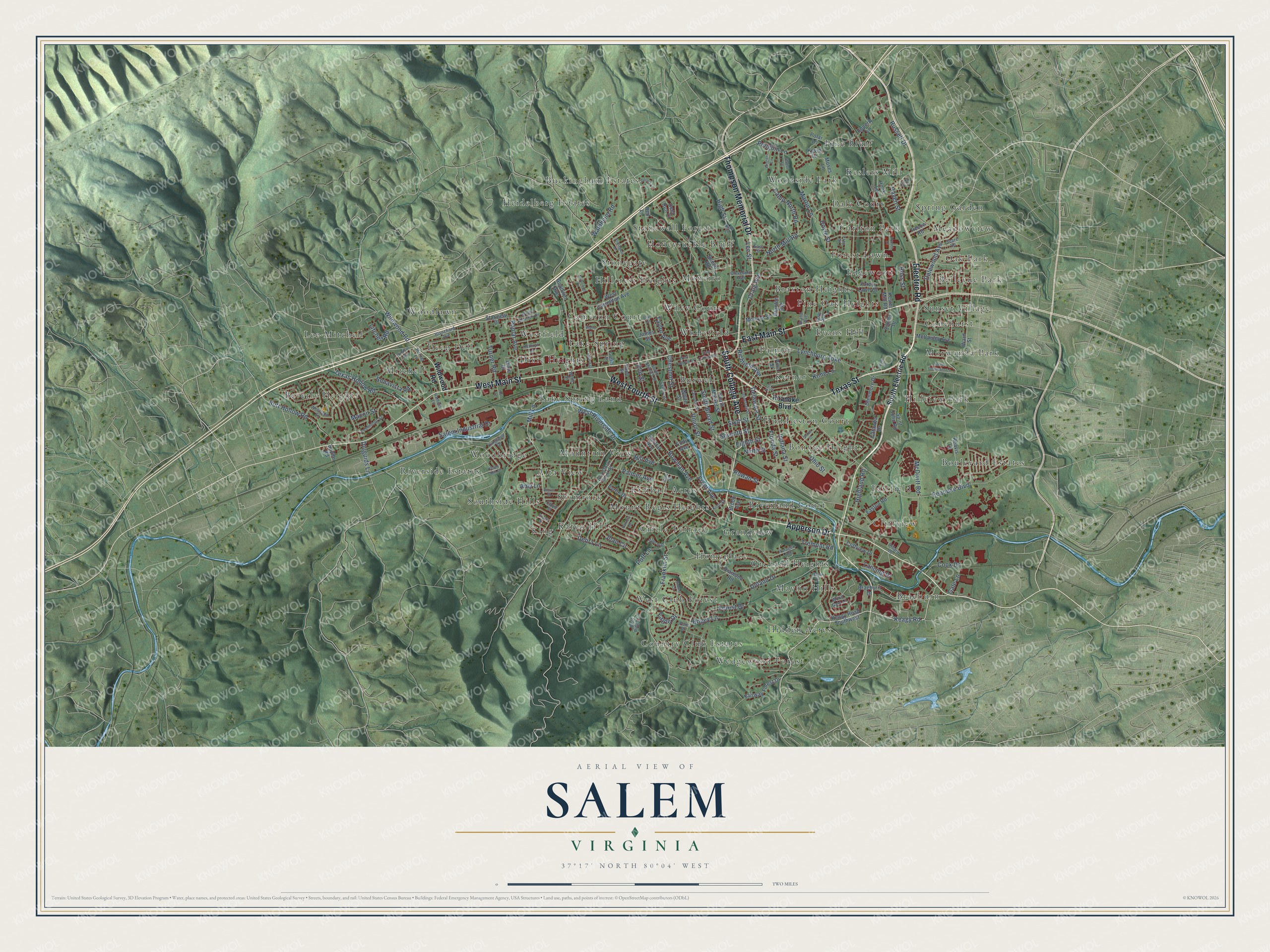
A new map of Salem, Virginia, made in 2026 and printed to order on thick archival matte paper.
12" x 18" Archival Matte Print
A Map of Home. A Work of Art.
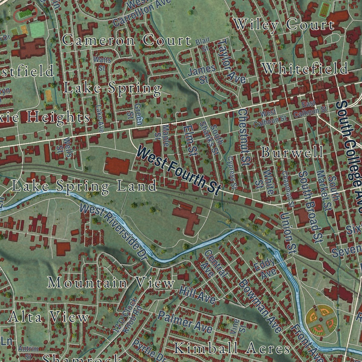
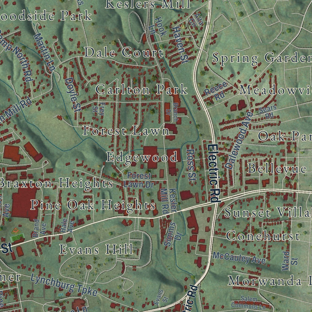
Explore Salem, Virginia from a whole new perspective. Created using aerial imagery and detailed geographic data, this map captures Salem building by building, with labeled streets, familiar landmarks, and shaded topographical relief that highlights the natural contours of the landscape.
Combining modern data with the timeless character of a vintage atlas, this map is just as interesting up close as it is beautiful on the wall. Whether you grew up in Salem, spent memorable years there, or call it home today, this unique map is a great way to celebrate a place that means something to you. Zoom in on the preview to look for your street, and then order a print to put your memories on the wall.
Three ways to hang it
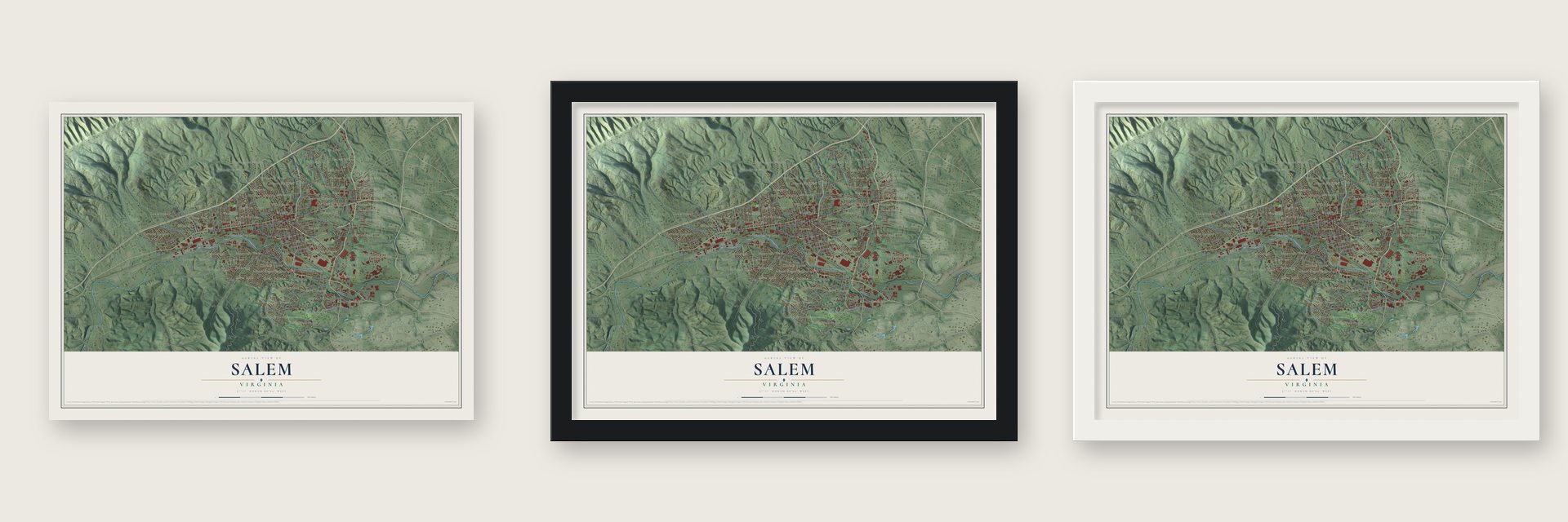
Unframed archival matte, a black wood frame or a white wood frame.
Up close
Geography Worth Displaying
This map was created using accurate cartographic data and authoritative geographic sources, including the U.S. Geological Survey and the Census Bureau. The map brings together terrain, waterways, roads, and building detail. The majority of the streets are labeled, houses are accurately depicted, and the topography is derived from government sources. Combining local data with carefully composed color and shading leads to this beautifully detailed Salem artwork for your wall.
Rather than simply showing street outlines, we’ve included as many of the street names as we could reasonably fit on the map while keeping their names legible. Zoom in on the high resolution preview to see exactly what’s on the map. We truly set out to create a statement piece for anyone who loves Salem. So whether it’s for you, or a gift for someone you love, we hope this map of Salem brings back fond memories.
Read the story behind this map of Salem, Virginia from 2026.
About Salem, Virginia
Salem is an independent city of 25,346 people and the county seat of Roanoke County, although the city and the county are separate governments. In 1671 the explorers Thomas Batts and Robert Fallam came through this area. The Totero, a Siouan-speaking people, lived in a village close by, and the tribe gave the explorers a guide, so they called the place Totero Town. Fort Lewis, named for General Andrew Lewis, was built west of the future town in 1752.
A small settlement grew up here to serve travelers on the Great Road, the route that US-11 and later Interstate 81 roughly follow. Salem was officially founded in 1802 and received its charter in 1806. No one knows for certain why it was called Salem. The usual explanation is that the name honored William Bryan, a leading citizen who had come from Salem, New Jersey.
- Roanoke College since 1847The school began in Augusta County in 1842 as Virginia Institute and was chartered in 1845 as Virginia Collegiate Institute. It was a preparatory school for boys when it moved to Salem from Staunton in 1847. In 1853 it won a college charter and took the name Roanoke College, for the Roanoke Valley, and it kept operating through the Civil War. Its Main Campus Complex is on the National Register.
- The last shot at AppomattoxUnion forces attacked Salem twice during the Civil War, once in Averell's Cavalry Raid. By local tradition, the town's Salem Flying Artillery fired the Confederacy's final shot at Appomattox Court House, just before Robert E. Lee surrendered.
- A city since 1967Salem took in South Salem in 1953 and an eastern tract in 1960. That brought its population to 16,058 and made it the largest town in Virginia. To avoid being annexed by Roanoke, it became a city on December 31, 1967. Under the state constitution that split it from Roanoke County, but Salem is still the county seat.
- Home of the Stagg BowlFrom 1993 to 2016 the NCAA's Division III football title game, the Amos Alonzo Stagg Bowl, was played at Salem Football Stadium. Because those games went so well, the NCAA also moved its Division III men's basketball and women's volleyball championships to the Salem Civic Center. It sent two softball tournaments to the James I. Moyer Sports Complex.
- A marker for Kim KyusikKim Kyusik (1881-1950) graduated from Roanoke College and became an influential leader of the Korean independence movement. The college honored him in 2022 with a highway marker on High Street.
Find your street
Names on the Salem map
Every name below is printed on this map. Look for your street, your school, the park where you played, or the pond down the road.
Places and landmarks66
- Alta View
- Bellevue Park
- Beverly Heights
- Bonvue Heights
- Boulevard Estates
- Braeburn
- Braxton Heights
- Buckingham Estates
- Burwell
- Cameron Court
- Carlton Park
- Circle Terrace
Show all 66 places
- Cliffview
- Conehurst
- Country Club Estates
- Dale Court
- Deep Dell
- Dixie Heights
- Edgewood
- Evans Hill
- Fairfield
- Forest Lawn
- Grandview
- Heidelberg Estates
- Hidden Acres
- Hillcrest Heights
- Hillview Park
- Homeplace
- Honeysuckle Bluff
- Huddleston Court
- Karen Hills
- Kerner
- Keslers Mill
- Kimball Acres
- King
- Lake Spring
- Lake Spring Land
- Lee-Mitchell
- Maylin Hills
- Meadowview
- Mitchell
- Moneiro
- Morwanda Park
- Mount Regis Heights
- Mountain View
- Oak Park
- Orchard Heights
- Palmer
- Pine Bluff
- Pine Oak Heights
- Riverland Court
- Riverside Estates
- Shamrock
- Southside Hills
- Spring Garden
- Stonegate
- Stonewall Forest
- Sunset Village
- Wedgewood Forest
- West Club Forest
- Westfield
- Whitefield
- Wiley Court
- Woodbridge
- Woodlawn
- Woodside Park
Streets and roads167
- Electric Road
- Apperson Drive
- South College Avenue
- East Main Street
- West Main Street
- Texas Street
- Thompson Memorial Drive
- West Fourth Street
- Keagy Road
- Bowman Avenue
- Mill Lane
- Butt Hollow Road
- Wildwood Road
- West Riverside Drive
- Kime Lane
- Roanoke Boulevard
- Sixth Street
- South Broad Street
- Texas Hollow Road
- Hill Avenue
- Diuguids Lane
- Lynchburg Turnpike
- High Street
- Craig Avenue
- Franklin Street
- Upland Drive
- Dalewood Avenue
- North Mill Road
- Indiana Street
- Salem Industrial Drive
Show all 167 streets
- Front Avenue
- Union Street
- McDivitt Road
- Eighth Street
- Poplar Avenue
- Joan Circle
- Penguin Lane
- Delaware Street
- Florida Street
- Seventh Street
- Palmer Avenue
- Turner Road
- Camp North Road
- Russell Drive
- Waldheim Road
- Debra Lane
- Forest Drive
- Martin Lane
- Ohio Street
- Chestnut Street
- Bogey Lane
- Cook Drive
- Elm Street
- Bonavista Road
- Highland Road
- Lancing Drive
- Ninth Street
- Doyle Street
- Litchell Road
- Poff Lane
- Richfield Avenue
- Tremont Road
- Taylor Avenue
- Gale Lane
- Rowan Street
- Macon Street
- Haven Street
- Amy Lane
- Ross Street
- Eagle Drive
- Lee Street
- South Electric Road
- Keagy Road Southwest
- Red Lane
- Kesler Mill Road
- Diamond Road
- West Carrollton Avenue
- Polar Lane
- Goodwin Avenue
- Pyrtle Drive
- South Market Street
- Braeburn Drive
- Glenmore Drive
- Forest Lawn Drive
- Moses Lane
- Ward Street
- Reavis Lane
- Eddy Avenue
- Fairway Forest Drive
- Deer Run Cr
- Catawba Drive
- Easton Road
- Central Avenue
- Kevin Lane
- McCauley Avenue
- Epperly Lane
- Cliffview Drive
- Braxton Avenue
- White Street
- Monroe Street
- Saint John Road
- James Street
- Starview Drive
- Simms Drive
- Brook Avenue
- Pine Street
- Hook Lane
- Reece Road
- Dixie Drive
- Bayne Road
- Beech Road
- 12 O'Clock Knob Road
- Hammit Lane
- Horner Lane
- Cleveland Avenue
- Bent Ridge Lane
- Blanchard Avenue
- Brand Avenue
- Maple Street
- Leemount Street
- Paragon Avenue
- South Shanks Street
- Fore Drive
- Vine Street
- Kingsmill Drive
- Westland Street
- Green Street
- Dillard Drive
- Hale Avenue
- Easy Street
- Sears Road
- Frey Street
- Wood Gate Lane
- King Street
- Kathryn Lane
- Wells Street
- Cloyd Street
- Kyle Lane
- Alta Circle
- Dennis Lane
- Stone Mill Drive
- Stonegate Drive
- Tennessee Street
- East Calhoun Street
- Maylin Drive
- Chapman Street
- Lake Avenue
- Brushy Mountain Drive
- West Calhoun Street
- Blair Street
- Salem Commons Lane
- Grace Street
- Antrim Street
- Watts Street
- Branch Drive
- Simms Circle
- Evans Street
- Cypress Street
- Winners Circle
- Windsor Avenue
- McDowell Drive
- Tyler Way
- Shelor Lane
- Hurt Lane
- Arch Street
- Patricia Drive
- Filson Street
Names are listed as they appear on the printed map. Zoom into the product photos to find them.
The art of mapping a place
How This Map Was Made
Real places. Remarkable detail. Discover the layers that turn geographic data into a map of home.

The view from above
Aerial imagery reveals the character of the land: woodland, open fields, and the patterns of a place.

The shape of the land
Elevation data brings hills, valleys, and subtle changes in the landscape into view.

The details of home
Roads, waterways, and building footprints come together to make the map feel unmistakably local.

Geography becomes art
Considered color, shading, and typography bring the layers together in a map made for your wall.


Process illustrated with Mendon, Massachusetts. Aerial imagery: USDA NAIP. Terrain: USGS 3D Elevation Program. Map details and finished artwork: KNOWOL.
The Details
About This Print
Choose an archival matte print, or a black or white Ayous wood frame. The archival matte print is unframed.
Select your size and finish above to see the matching product image and price.
Materials & Craftsmanship
A contemporary map with the character of a classic atlas, printed on archival matte paper. Optional frames are made from Ayous wood.
Your printed map does not include the watermark shown in the full-map preview.
Shipping & Delivery
Free shipping within the United States. Every print is made to order in the USA.
Buying a gift? Add a note in your cart and we'll include it. We never put prices in the package.
Prints ship within 2 to 3 business days. Allow 7 to 10 days total from ordering for delivery. Timing may vary during holidays or periods of high order volume.
Read our shipping policy.
Returns and damaged prints
Each print is made to order. Change-of-mind refunds are not available after production.
If your print arrives damaged, misprinted or incorrect, contact support@knowol.com within 30 days of receiving it. Include your order number, photos and a description of the issue.
Read our full refund and replacement policy. For questions about your order, email support@knowol.com.
Find your town
Looking for another city?
Find a map of home in our Virginia collection, or any town in the country.
Nearby
Maps of towns near Salem
Know someone from one of these towns? Their map makes a great gift.
 Glenvar
, Virginia
From $39.99See the map
 Cave Spring
, Virginia
From $39.99See the map
 Roanoke
, Virginia
From $39.99See the map
More maps nearby: Hollins, Lafayette, Vinton, Cloverdale and Elliston.