
Search for another town




Free U.S. delivery 7 to 10 days after you order
Romeoville, Illinois Map Art
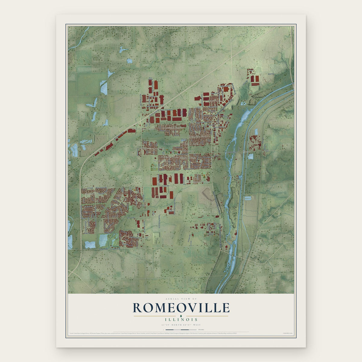
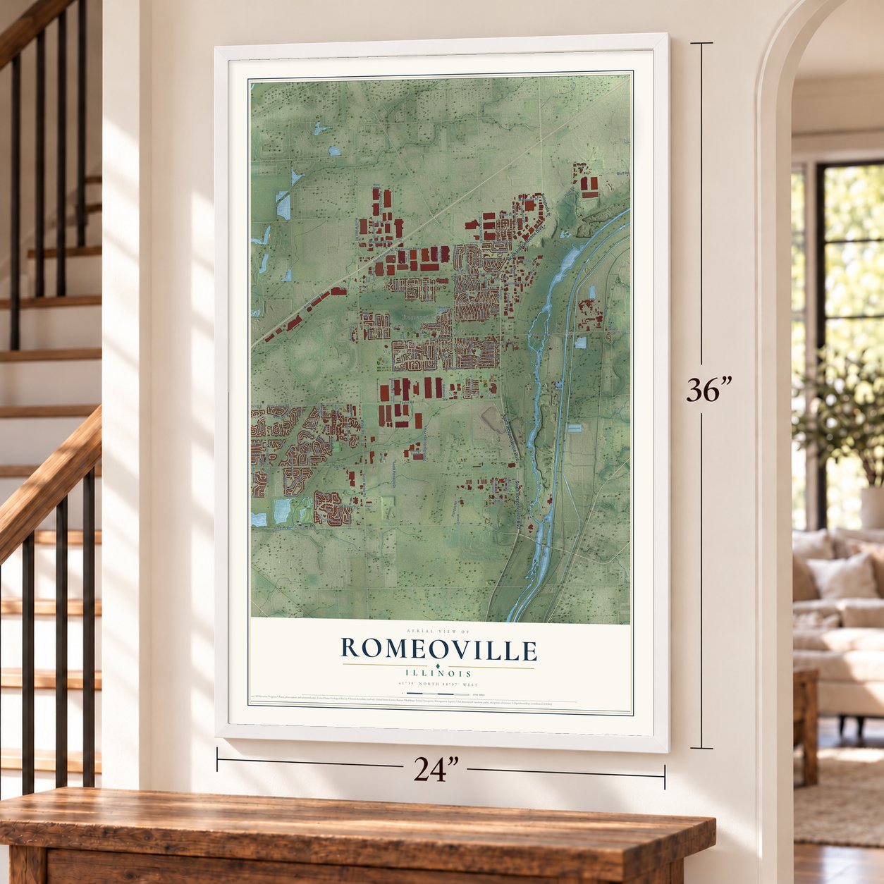
A new map of Romeoville, Illinois, made in 2026 and printed to order on thick archival matte paper.
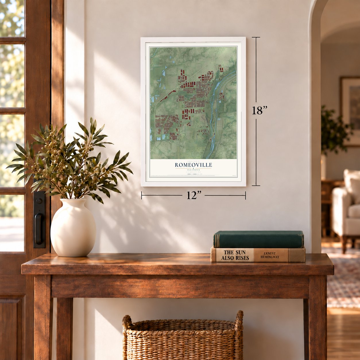
12" x 18" Archival Matte Print
A Map of Home. A Work of Art.
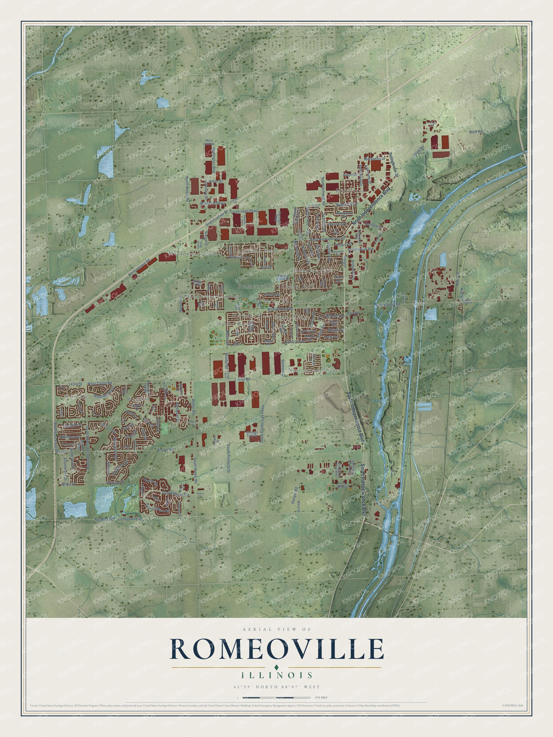
Explore Romeoville, Illinois from a whole new perspective. Created using aerial imagery and detailed geographic data, this map captures Romeoville building by building, with labeled streets, familiar landmarks, and shaded topographical relief that highlights the natural contours of the landscape.
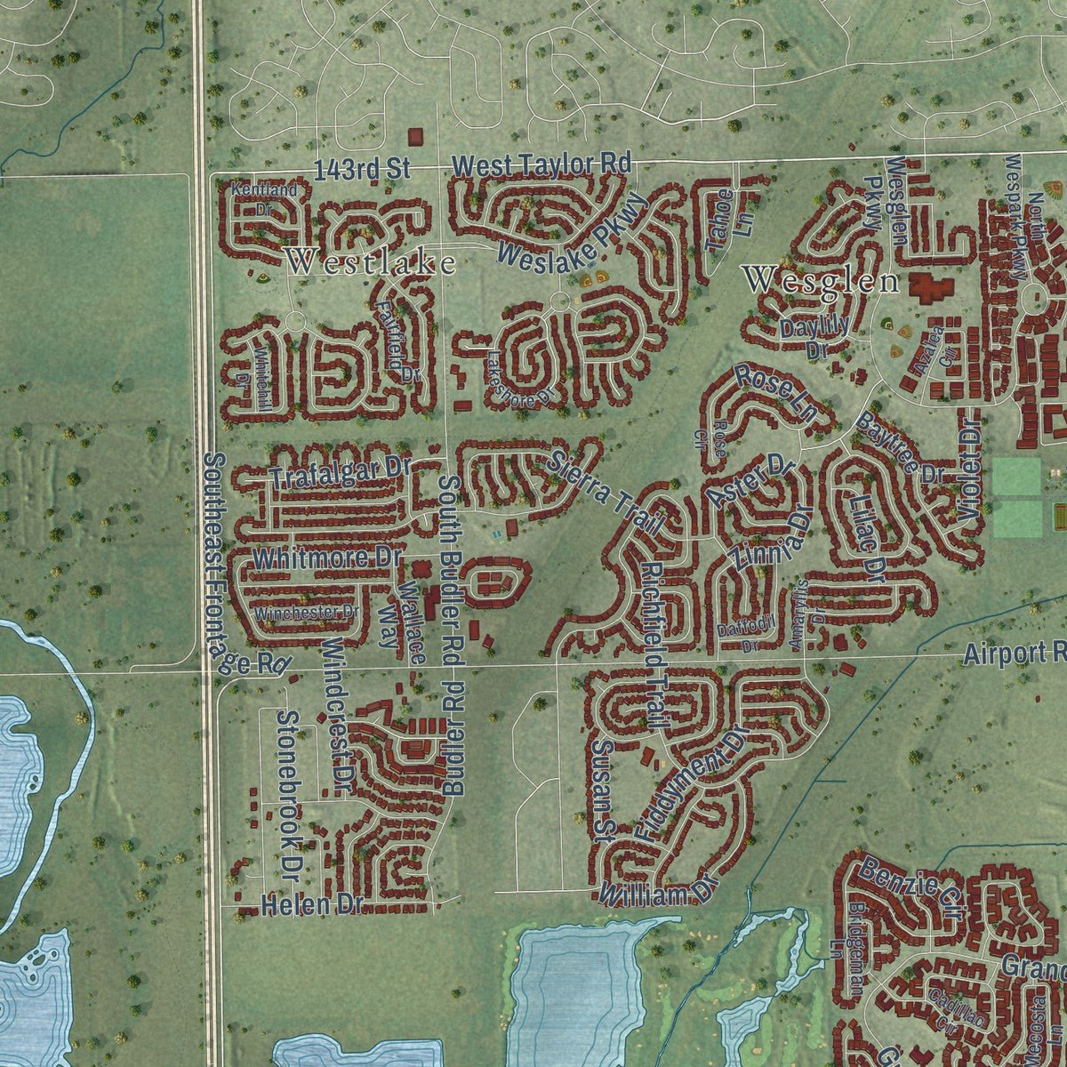
Combining modern data with the timeless character of a vintage atlas, this map is just as interesting up close as it is beautiful on the wall. Whether you grew up in Romeoville, spent memorable years there, or call it home today, this unique map is a great way to celebrate a place that means something to you. Zoom in on the preview to look for your street, and then order a print to put your memories on the wall.
Three ways to hang it
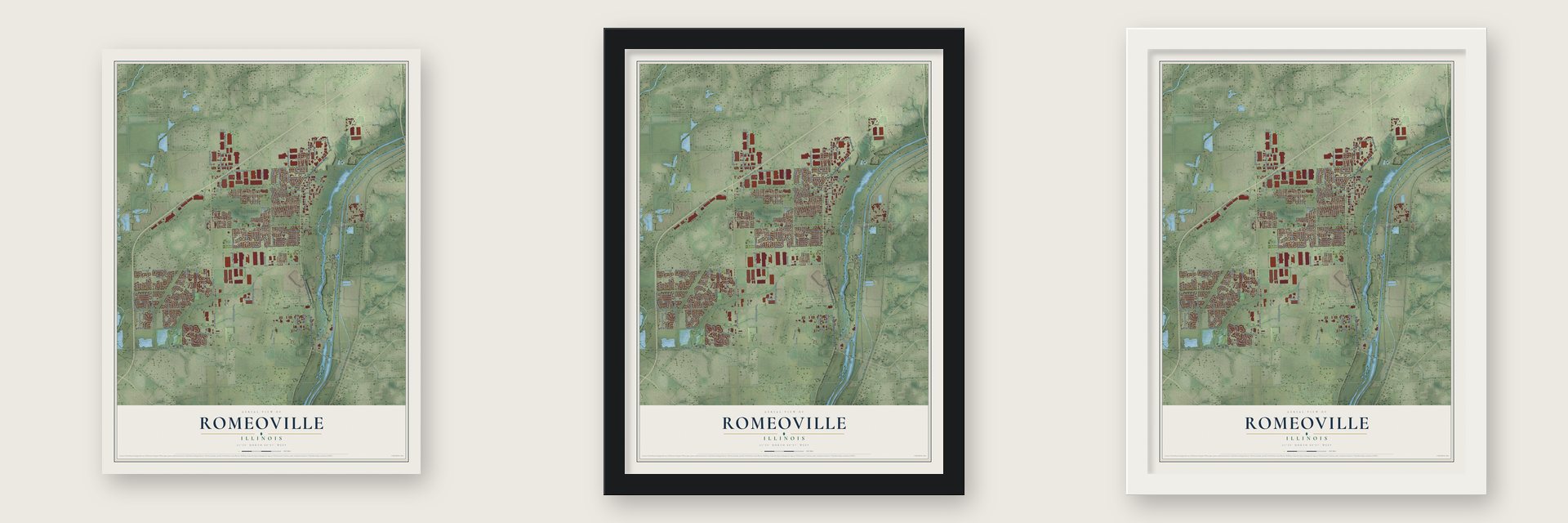
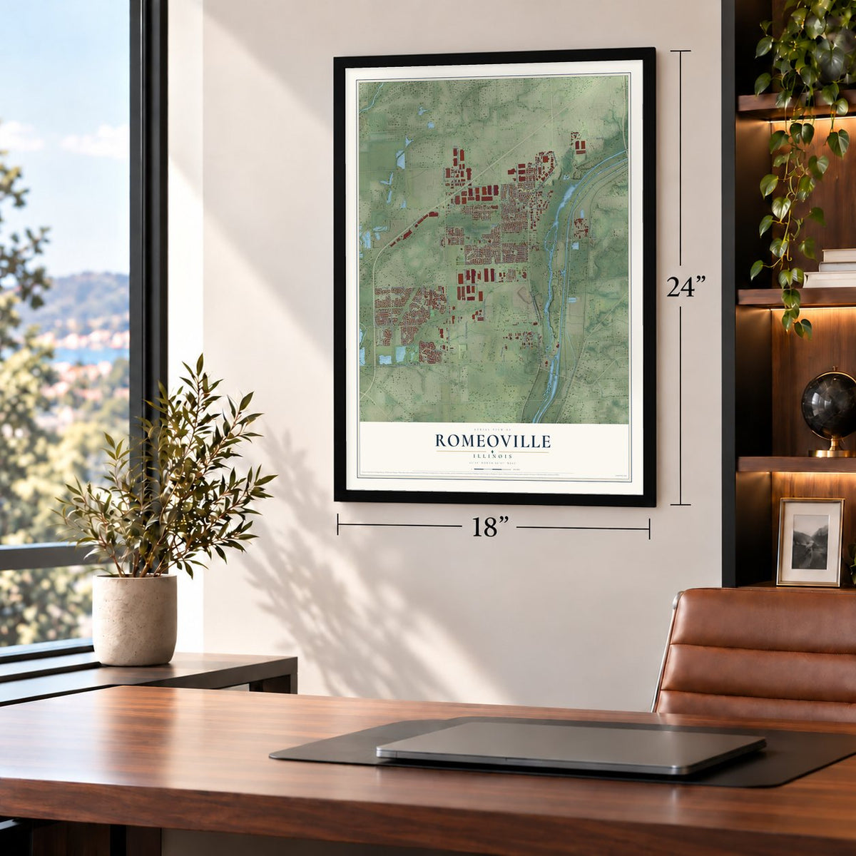
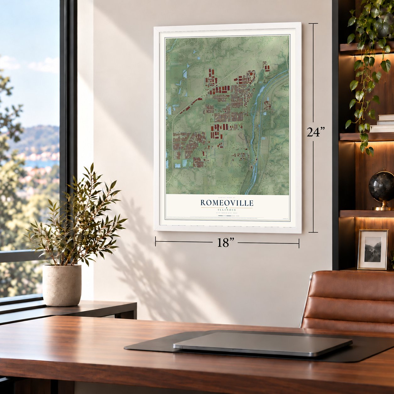
Unframed archival matte, a black wood frame or a white wood frame.
Up close
Geography Worth Displaying
This map was created using accurate cartographic data and authoritative geographic sources, including the U.S. Geological Survey and the Census Bureau. The map brings together terrain, waterways, roads, and building detail. The majority of the streets are labeled, houses are accurately depicted, and the topography is derived from government sources. Combining local data with carefully composed color and shading leads to this beautifully detailed Romeoville artwork for your wall.
Rather than simply showing street outlines, we’ve included as many of the street names as we could reasonably fit on the map while keeping their names legible. Zoom in on the high resolution preview to see exactly what’s on the map. We truly set out to create a statement piece for anyone who loves Romeoville. So whether it’s for you, or a gift for someone you love, we hope this map of Romeoville brings back fond memories.
Read the story behind this map of Romeoville, Illinois from 2026.

About Romeoville, Illinois
Romeoville is a village of 39,863 people in Will County, west of the Des Plaines River and about 26 miles southwest of Chicago. Settlers first came on September 14, 1835, to Isle a la Cache, an island in the middle of the river, and they named the place Romeo. Around then a bridge went up linking the west bank to the island. The I&M Canal opened in 1848 and brought more people to live here.
Residents voted to incorporate on January 19, 1895, and the village became Romeoville. For decades it stayed tiny, and in 1950 it held about 46 homes and 147 people. Growth began in 1957, when more than 600 acres of wetlands beside IL-53 were turned into the Hampton Park Subdivision, and 400 more acres followed in 1964.
- Limestone for the CapitolRomeoville and neighboring Joliet earned the nickname "Stone City" for their busy limestone quarries. Springfield's Illinois State Capitol, unveiled in 1888, is made entirely of limestone from Romeoville.
- Lewis University since 1934Lewis University opened on the edge of town in 1934, and its main campus is still here.
- Weber Road in 1990The first interchange at I-55 and Weber Road opened on October 5, 1990, and it tied Romeoville to the rest of Chicagoland. New housing filled in along Weber Road through the next ten years. Romeoville ranked among the fastest-growing places in Illinois in the 1990s and 2000s, gaining more than 25,000 residents in two decades.
- A Gold Medal in 2013In 2013 the International Economic Development Council gave Romeoville a Gold Medal for creating 1,560 jobs in 2012 and 2013. That was the most of any town with between 25,001 and 100,000 people.
Find your street
Names on the Romeoville map
Every name below is printed on this map. Look for your street, your school, the park where you played, or the pond down the road.
Places and landmarks14
- Romeoville Village Hall
- Westlake
- Haley Meadows
- Hampton Park
- Heritage Place
- Honeytree
- Lakewood Estates
- Malibu Bay
- Marquettes Landing
- Meadowdale Estates
- Nottingham Ridge
- Poplar Ridge
Show all 14 places
- Romeo
- Wesglen
Streets and roads164
- North Independence Boulevard
- South Indepencence Boulevard
- South Independence Boulevard
- Taylor Road
- 143rd Street
- West Taylor Road
- Joliet Road
- South Schmidt Road
- Southeast Frontage Road
- Windham Parkway
- South Weber Road
- Renwick Road
- North Weber Road
- East Romeo Road
- New Avenue
- Weber Road
- Naperville Drive
- Schmidt Road
- County Highway 36
- Montrose Drive
- Violet Drive
- Weslake Parkway
- Grand Haven Circle
- Helen Drive
- Airport Road
- Belmont Drive
- Normantown Road
- West Normantown Road
- West Romeo Road
- Murphy Drive
Show all 164 streets
- South Pinnacle Drive
- Crossroads Parkway
- South Budler Road
- Richfield Trail
- South Southcreek Parkway
- Hanger Road
- Bluff Road
- Dalhart Avenue
- Troxel Avenue
- Lakeview Drive
- Hudson Avenue
- Remington Boulevard
- Glen Avenue
- Kingston Drive
- Enterprise Drive
- High Road
- Sierra Trail
- Highpoint Drive
- Benzie Circle
- Grand Haven Road
- Fiddyment Drive
- Hamrick Avenue
- Lakeside Drive
- Budler Road
- Zinnia Drive
- Birch Lane
- Malibu Drive
- William Drive
- Stonebrook Drive
- McKool Avenue
- Greenwood Avenue
- Gavin Avenue
- Whitmore Drive
- Marquette Drive
- Anderson Drive
- Malibu Road
- Rocbaar Drive
- Beacon Avenue
- Trafalgar Drive
- Yates Avenue
- Windcrest Drive
- Aster Drive
- Rose Lane
- Phelps Avenue
- Anton Drive
- Arbor Drive
- Eaton Avenue
- Lilac Drive
- Iola Avenue
- Susan Street
- Erie Drive
- Bolingbrook Drive
- De la Salle Drive
- Fenton Avenue
- Wesglen Parkway
- South Frontage Road
- Abbeywood Drive
- Haller Avenue
- Healy Avenue
- Tallman Avenue
- Geneva Avenue
- North Sleepy Hollow Lane
- Fremont Avenue
- Frieh Drive
- Chicago Tube Drive
- Wilco Drive
- Spangler Avenue
- Anna Lane
- Hayes Avenue
- Zachary Drive
- Heritage Parkway
- Tahoe Lane
- Beverly Griffin Drive
- Parkwood Avenue
- Pro Logis Parkway
- University Drive East
- Baytree Drive
- Julia Drive
- Magnolia Drive
- University Drive West
- Brunswick Lane
- Wallace Way
- Rock Road
- Harmony Lane
- Santa Fe Road
- O'Hare Drive
- West 115th Street
- Oakton Avenue
- Gorman Drive
- Dover Avenue
- Daylily Drive
- Grand Boulevard
- Hemlock Avenue
- West 135th Street
- Maggie Lane
- Rogers Road
- Forestwood Drive
- Mecosta Lane
- Key Largo Drive
- Hale Avenue
- North Wespark Parkway
- Fairfield Drive
- Essex Avenue
- Theodore Court
- Center Boulevard
- Alexander Circle
- Bridgeman Lane
- Arsenal Road
- Veterans Parkway
- Frontage Road
- Coneflower Drive
- Cadillac Circle
- Kentland Drive
- Laurel Avenue
- Lakeshore Drive
- Pinnacle North
- Azalea Circle
- Karen Avenue
- North Misty Ridge Drive
- Amaryllis Drive
- Edward Drive
- Daffodil Drive
- Briarwood Avenue
- Sherman Road
- Mendota Lane
- Winchester Drive
- Bodega Drive
- Linden Avenue
- Centennial Trail
- Creekside Drive
- Berkley Drive
- Whitehill Drive
- Gaskin Drive
- Rose Circle
Names are listed as they appear on the printed map. Zoom into the product photos to find them.
The art of mapping a place
How This Map Was Made
Real places. Remarkable detail. Discover the layers that turn geographic data into a map of home.

The view from above
Aerial imagery reveals the character of the land: woodland, open fields, and the patterns of a place.

The shape of the land
Elevation data brings hills, valleys, and subtle changes in the landscape into view.

The details of home
Roads, waterways, and building footprints come together to make the map feel unmistakably local.

Geography becomes art
Considered color, shading, and typography bring the layers together in a map made for your wall.


Process illustrated with Mendon, Massachusetts. Aerial imagery: USDA NAIP. Terrain: USGS 3D Elevation Program. Map details and finished artwork: KNOWOL.
The Details
About This Print
Choose an archival matte print, or a black or white Ayous wood frame. The archival matte print is unframed.
Select your size and finish above to see the matching product image and price.
Materials & Craftsmanship
A contemporary map with the character of a classic atlas, printed on archival matte paper. Optional frames are made from Ayous wood.
Your printed map does not include the watermark shown in the full-map preview.
Shipping & Delivery
Free shipping within the United States. Every print is made to order in the USA.
Buying a gift? Add a note in your cart and we'll include it. We never put prices in the package.
Prints ship within 2 to 3 business days. Allow 7 to 10 days total from ordering for delivery. Timing may vary during holidays or periods of high order volume.
Read our shipping policy.
Returns and damaged prints
Each print is made to order. Change-of-mind refunds are not available after production.
If your print arrives damaged, misprinted or incorrect, contact support@knowol.com within 30 days of receiving it. Include your order number, photos and a description of the issue.
Read our full refund and replacement policy. For questions about your order, email support@knowol.com.
Find your town
Looking for another city?
Find a map of home in our Illinois collection, or any town in the country.
Nearby
Maps of towns near Romeoville
Know someone from one of these towns? Their map makes a great gift.
 Crest Hill
, Illinois
From $39.99See the map
 Bonnie Brae
, Illinois
From $39.99See the map
 Lockport Heights
, Illinois
From $39.99See the map
More maps nearby: Bolingbrook, Sunnyland, Lockport, Crystal Lawns and Plainfield.