
Search for another town

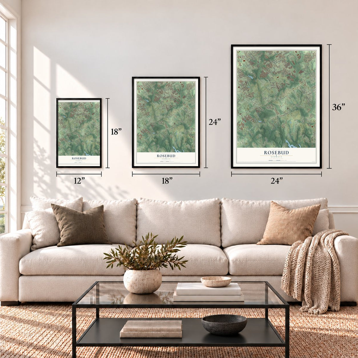

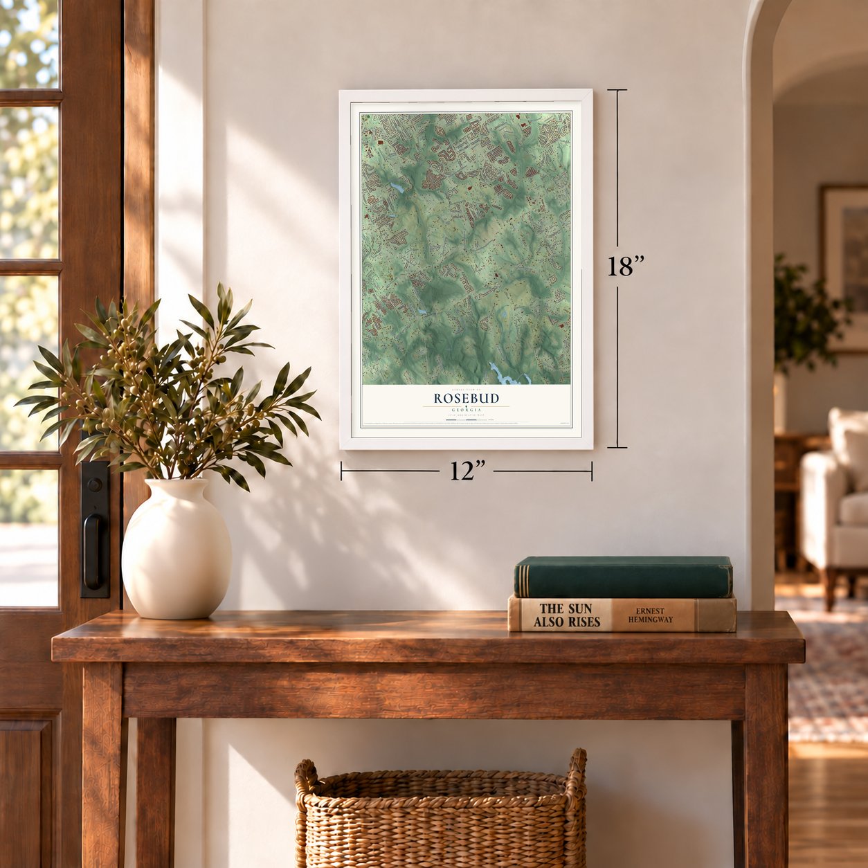
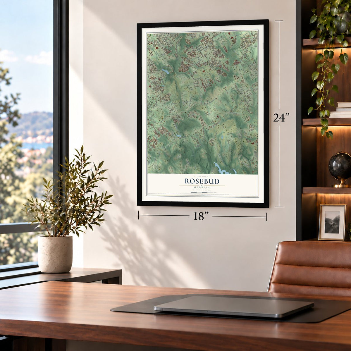
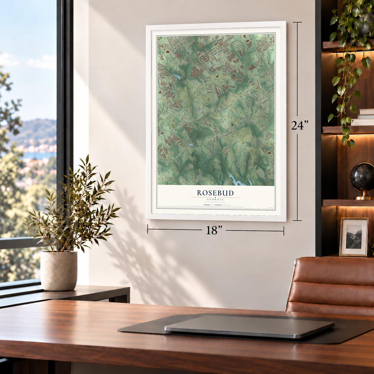


Free U.S. delivery 7 to 10 days after you order
Rosebud, Georgia Map Art
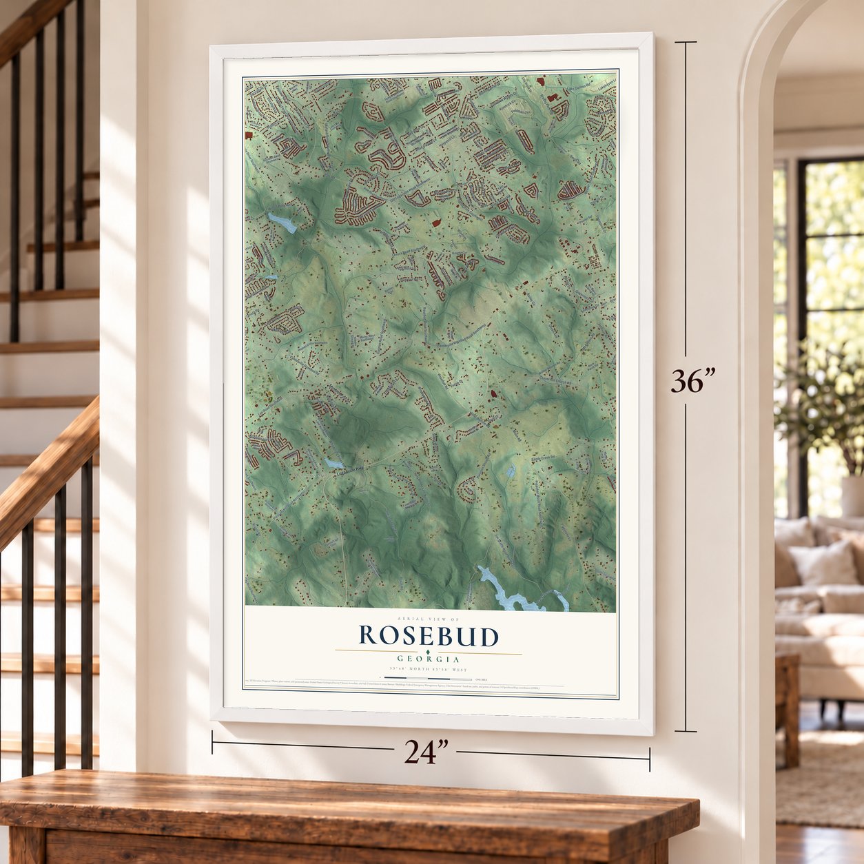
A new map of Rosebud, Georgia, made in 2026 and printed to order on thick archival matte paper.
12" x 18" Archival Matte Print
A Map of Home. A Work of Art.
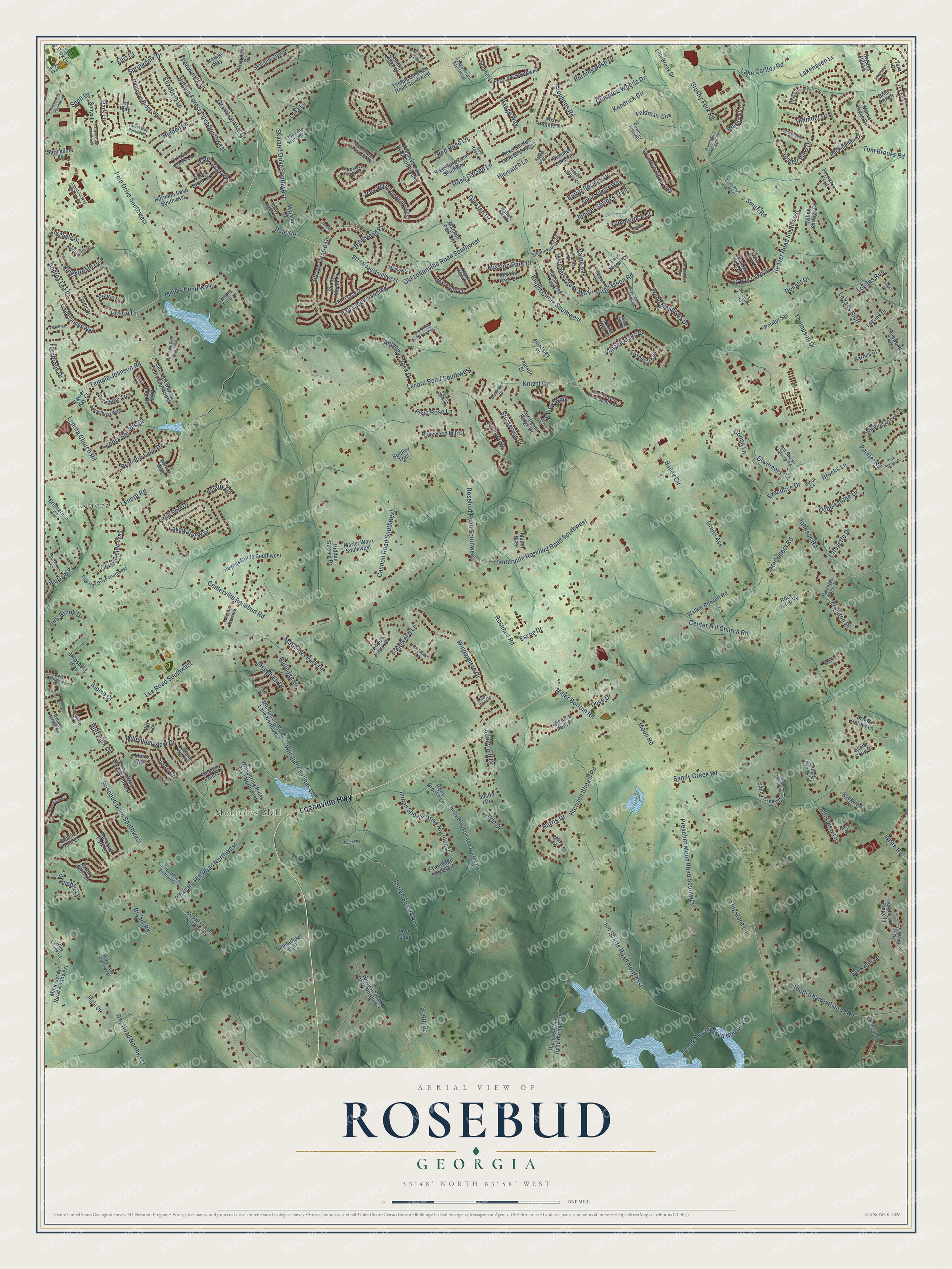
Explore Rosebud, Georgia from a whole new perspective. Created using aerial imagery and detailed geographic data, this map captures Rosebud building by building, with labeled streets, familiar landmarks, and shaded topographical relief that highlights the natural contours of the landscape.
Combining modern data with the timeless character of a vintage atlas, this map is just as interesting up close as it is beautiful on the wall. Whether you grew up in Rosebud, spent memorable years there, or call it home today, this unique map is a great way to celebrate a place that means something to you. Zoom in on the preview to look for your street, and then order a print to put your memories on the wall.
Three ways to hang it
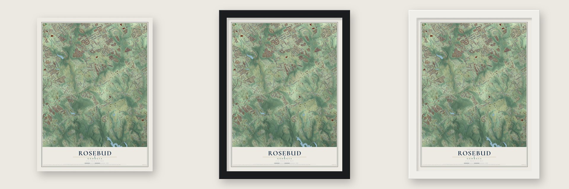
Unframed archival matte, a black wood frame or a white wood frame.
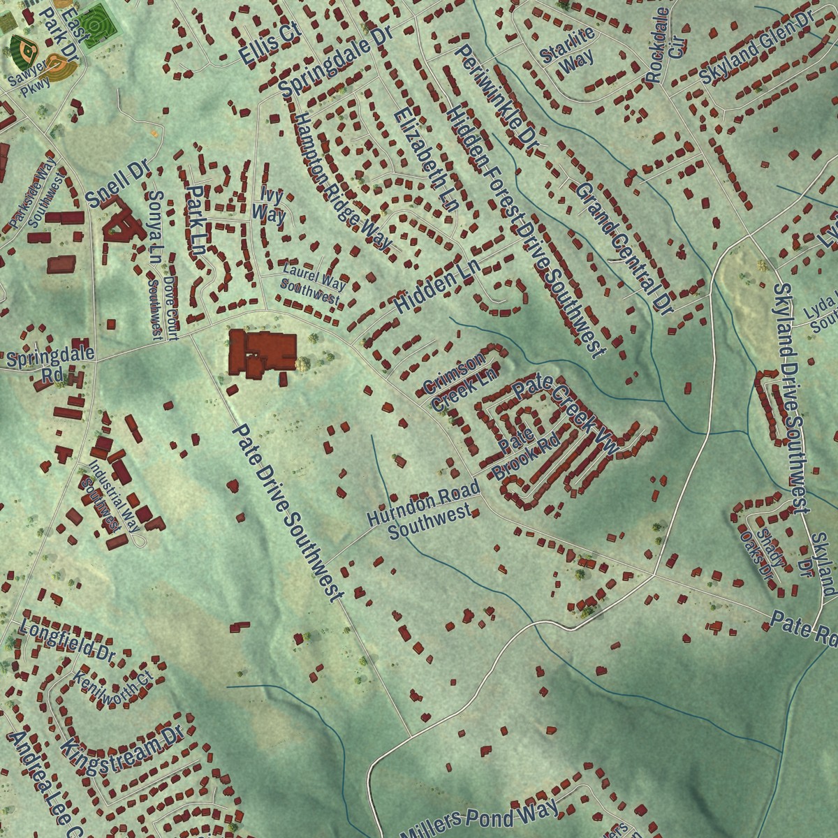
Up close
Geography Worth Displaying
This map was created using accurate cartographic data and authoritative geographic sources, including the U.S. Geological Survey and the Census Bureau. The map brings together terrain, waterways, roads, and building detail. The majority of the streets are labeled, houses are accurately depicted, and the topography is derived from government sources. Combining local data with carefully composed color and shading leads to this beautifully detailed Rosebud artwork for your wall.
Rather than simply showing street outlines, we’ve included as many of the street names as we could reasonably fit on the map while keeping their names legible. Zoom in on the high resolution preview to see exactly what’s on the map. We truly set out to create a statement piece for anyone who loves Rosebud. So whether it’s for you, or a gift for someone you love, we hope this map of Rosebud brings back fond memories.
Read the story behind this map: Detailed Map of Rosebud, Georgia.

Find your street
Names on the Rosebud map
Every name below is printed on this map. Look for your street, your school, the park where you played, or the pond down the road.
Places and landmarks2
- Lenora
- McElroys Mill
Streets and roads297
- Loganville Highway
- Temple Johnson Road
- Skyland Drive Southwest
- Red Rose Lane
- Centerville Rosebud Road Southwest
- Hidden Forest Drive Southwest
- Brushy Fork Road
- Lenora Church Road
- Old Loganville Road Southwest
- Rosebud Road Southwest
- Pate Road
- Centerville Rosebud Road
- Miller Bottom Road
- Lenora Road
- Lenora Road Southwest
- Center Hill Church Road
- McCullers Road
- Beaver Road Southwest
- Pleasant Hill Road Northwest
- South Sharon Church Road
- Lee Road Southwest
- Knight Circle
- Knight Circle Southwest
- Sandy Creek Road
- Cannon Road Southwest
- Pointer Road
- Harrison Shoals Road
- Virgil Moon Road
- Indian Shoals Road
- Rosebud Drive Southwest
Show all 297 streets
- Jim Scaffe Road Northeast
- Rosebud Road
- Burning Bush Drive
- Bryant Road
- Stephens Road
- Windermere Drive
- Johnson Road
- Millers Pond Way
- Lake Carlton Road
- Village Centre Drive
- Pate Drive Southwest
- Moon Road
- Bailey Circle
- Donald Drive
- Springdale Drive
- Preacher Moon Road Southwest
- Lake Port Drive
- Kendrick Circle
- Lakehaven Lane
- Inns Brook Drive
- Indian Shoals Drive Northeast
- Green Avenue
- Crested View Drive
- Fall Creek Landing
- Countryside Way
- Sunny Hill Drive
- Rose Garden Lane
- Butler Springs Drive
- Ivy Fork Drive
- Irvin Drive
- Compton Woods Drive
- Day Road Northwest
- Harris Drive
- Vintage Oaks Drive
- Rockview Lane
- Black Shoals Road Northeast
- Smith Road
- Lenora Springs Drive
- Prairie Drive
- Elizabeth Lane
- Andrea Lee Court
- Pate Creek Vw
- Thompson Drive
- Brandon Lake Drive
- Kingstream Drive
- Lyda Lane
- Anthony Creek Drive
- Governors Circle
- Michaels Creek Way
- Lakewater Way
- Grove Lake Street
- Webb Meadows Drive
- Oak Field Drive
- Grand Central Drive
- Braswell Lane
- Millenium View Drive
- Whispering Pines Lane
- Alpine Court
- Booth Road
- Glen Ian Drive
- Flagstone Lane
- Juniper Springs Trail
- Hidden Lane
- Cobblestone Drive
- Joseph Eli Drive
- Score Court
- Feldman Chs
- Brighton Place
- Huff Park Court
- Aviator Circle
- Pixie Rose Lane
- Mission Park Drive
- Snell Drive
- Matthews Park Drive
- Logans Run
- Periwinkle Drive
- Lafayette Drive
- Winnstead Place
- Park Lane
- Fieldwood Lane
- Logans Bluff
- Ellis Court
- Wynship Lane
- Alaina Avenue
- Tom Brooks Road
- Escoe Drive
- Donna Lane
- Hillmont Drive
- Dove Drive
- Tumblerock Court
- Ivy View Walk
- Brooks Lane
- Haypatch Lane
- Fernbrook Drive
- Executive Drive
- Rutledge Drive
- White Road
- Range Way
- Temple Johnson Road Southwest
- Red Rose Lane Southwest
- Skyland Drive
- Pate Road Southwest
- Preserve Park Drive Southwest
- Haralson Mill Road Northeast
- Haynes Circle Southwest
- Rosebud Park Drive
- Skyland Glen Drive
- Stephens Pond Vw Southwest
- Sandy Creek Circle
- Rockingham Drive
- Winding Grove Lane
- Rose Garden Lane Southwest
- Rose Pointe Drive
- Holly Brooke Lane Northeast
- Walker Bennett Road
- Elm Trace Drive
- Victoria Park Drive
- Brushymill Court
- Duval Point Way Southwest
- Lilly Brook Drive
- Foxberry Run
- Hidden Creek Drive
- Park Hill Circle Southwest
- Mink Livsey Road Northwest
- Meadow Point Drive
- Whispering Pines Trail Northwest
- Xavier Ray Court
- Hampton Ridge Way
- Haynes Creek Drive Northeast
- Savannah Ridge Trail
- Summer Lake Terrace
- Pearson Street
- Abbie Kilgore Way
- Lexington Ridge Drive
- Henderson Ridge Lane
- Marler Way Southwest
- Rosetta Lane Northwest
- Hurndon Road Southwest
- Carriage Downs Court Southwest
- Rosewood Mill Court
- Willow Springs Drive
- Traddsprings Way
- Sweetbriar Trce
- Zoey Lee Drive
- Barnes Court
- Whispering Pines Lane Northwest
- Summit Place Drive
- Creekwood Trail
- Holly Brooke Lane
- Sandy Cove Drive
- Mission Park Court
- Twin Manor Drive
- Harms Way
- Brookeridge Drive
- Brenteresa Court
- Manor Ridge Drive
- Chafin Point Court
- Brook Hollow Lane
- Pate Brook Road
- Camouflage Trail
- Shady Maple Lane
- Marham Park Circle
- Pointer Spr
- Prather Son Drive
- Perrinton Trail
- Hidden Stream Drive
- Sandy Creek Court
- Briar Run Court
- Fawnledge Northeast
- Notting Glen Lane
- Longfield Drive
- Rock Patch Road
- Hogans Mill Lane
- Bentley Trail
- Springdale Road
- Manor Way
- Fawn Ledge
- Hapsburg Way
- Logans Drive
- Era Trce
- Woodsley Place
- Crimson Creek Lane
- Prairie Lane
- Rockdale Circle
- Sonya Lane
- East Park Drive
- Rockview Terrace
- Janel Lane
- Mill Court
- Tradd Court
- Starlite Way
- Silvery Way
- Justin Drive
- Ingle Court
- Violet Way Court
- Ivy Way
- Metro Way
- Tara Court
- Red Rose Court
- Mink Livsey Road
- Beaverton Circle
- Preserve Run Trail
- Sweetbriar Walk
- Holly Manor Drive
- Richards Drive Southwest
- Maes Overlook
- Logan Ridge Circle
- Cherrywood Drive
- Newbury Place Drive
- Fredricksberg Drive
- Summit Heights Drive
- Prather Pass Drive Southwest
- Shady Oaks Drive
- Edenbrooke Circle
- Fox Run
- Centurian Way Vw
- Rosebud Drive Northwest
- Old Sharon Church Road
- Lyda Lane Southwest
- Summer Place
- Julianna Drive
- Creekmore Lane
- Kenilworth Court
- Range Road Southwest
- Glen Summit Lane
- Barrington Manor Drive
- Beaver Pond Court
- Black Fox Drive
- Ruby Lane Northwest
- Peace Rose Place
- Minnow Court
- McCuller Road
- Rosegate Drive
- Brook Lane
- Rock Court
- Walters Park Drive
- Millers Pond Lane
- Brushy Fork Road Southwest
- Smith Road Southwest
- Windlake Drive Southwest
- Sugar Creek Circle
- Pebblestone Drive
- Shepherds Lane
- Greenridge Drive
- Summit Glen Drive
- Ewing Farm Drive
- Preserve Wood Lane Southwest
- Brookridge Drive
- Parkside Way Southwest
- Beau Point Court
- Virgil Moon Crossing
- Pate Ridge Drive Southwest
- Lakeside Court
- Waverly Downs Drive
- Industrial Way Southwest
- Oakwilde Court
- Laurel Way Southwest
- Granite Falls Lane
- Rock Springs Court
- Dove Court Southwest
- Logans Terrace
- Beaut Court
- Summer Leigh Court
- Rockberry Court
- Sawyer Parkway
- Jensen Court
- Polly Place
Names are listed as they appear on the printed map. Zoom into the product photos to find them.
The art of mapping a place
How This Map Was Made
Real places. Remarkable detail. Discover the layers that turn geographic data into a map of home.

The view from above
Aerial imagery reveals the character of the land: woodland, open fields, and the patterns of a place.

The shape of the land
Elevation data brings hills, valleys, and subtle changes in the landscape into view.

The details of home
Roads, waterways, and building footprints come together to make the map feel unmistakably local.

Geography becomes art
Considered color, shading, and typography bring the layers together in a map made for your wall.


Process illustrated with Mendon, Massachusetts. Aerial imagery: USDA NAIP. Terrain: USGS 3D Elevation Program. Map details and finished artwork: KNOWOL.
The Details
About This Print
Choose an archival matte print, or a black or white Ayous wood frame. The archival matte print is unframed.
Select your size and finish above to see the matching product image and price.
Materials & Craftsmanship
A contemporary map with the character of a classic atlas, printed on archival matte paper. Optional frames are made from Ayous wood.
Your printed map does not include the watermark shown in the full-map preview.
Shipping & Delivery
Free shipping within the United States. Every print is made to order in the USA.
Buying a gift? Add a note in your cart and we'll include it. We never put prices in the package.
Prints ship within 2 to 3 business days. Allow 7 to 10 days total from ordering for delivery. Timing may vary during holidays or periods of high order volume.
Read our shipping policy.
Returns and damaged prints
Each print is made to order. Change-of-mind refunds are not available after production.
If your print arrives damaged, misprinted or incorrect, contact support@knowol.com within 30 days of receiving it. Include your order number, photos and a description of the issue.
Read our full refund and replacement policy. For questions about your order, email support@knowol.com.
Find your town
Looking for another city?
Find a map of home in our Georgia collection, or any town in the country.
Nearby
Maps of towns near Rosebud
Know someone from one of these towns? Their map makes a great gift.
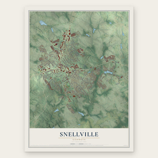 Snellville
, Georgia
From $39.99See the map
 Loganville
, Georgia
From $39.99See the map
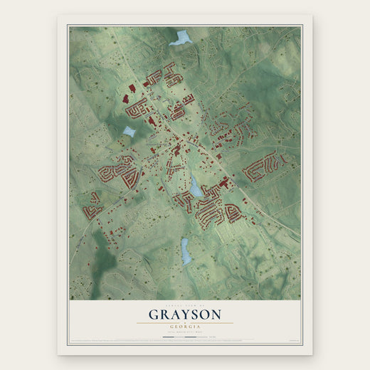 Grayson
, Georgia
From $39.99See the map
More maps nearby: Rock Chapel, Youth, Walnut Grove, Lakeview Estates and Milstead.