
Search for another town





Free U.S. delivery 7 to 10 days after you order
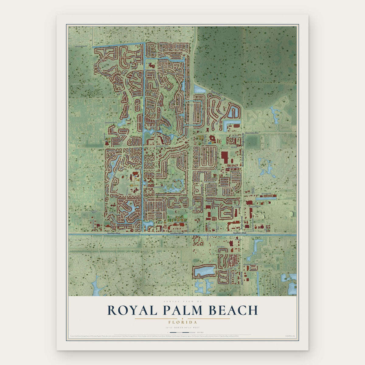
Royal Palm Beach, Florida Map Art
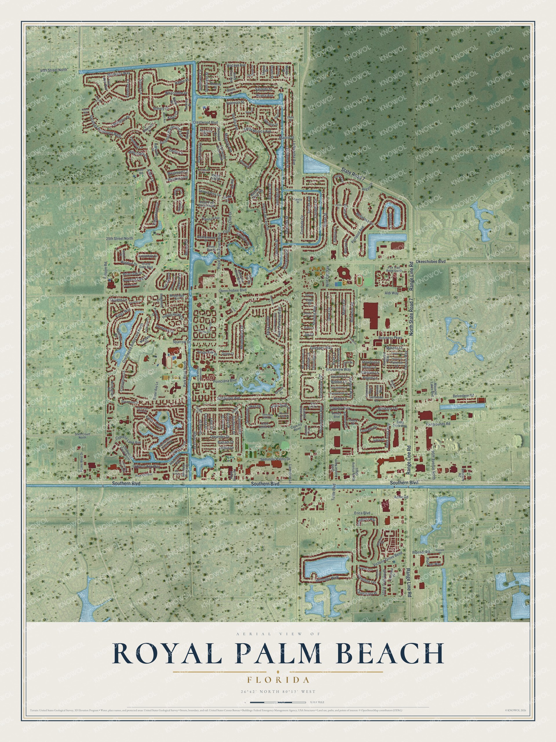
A new map of Royal Palm Beach, Florida, made in 2026 and printed to order on thick archival matte paper.
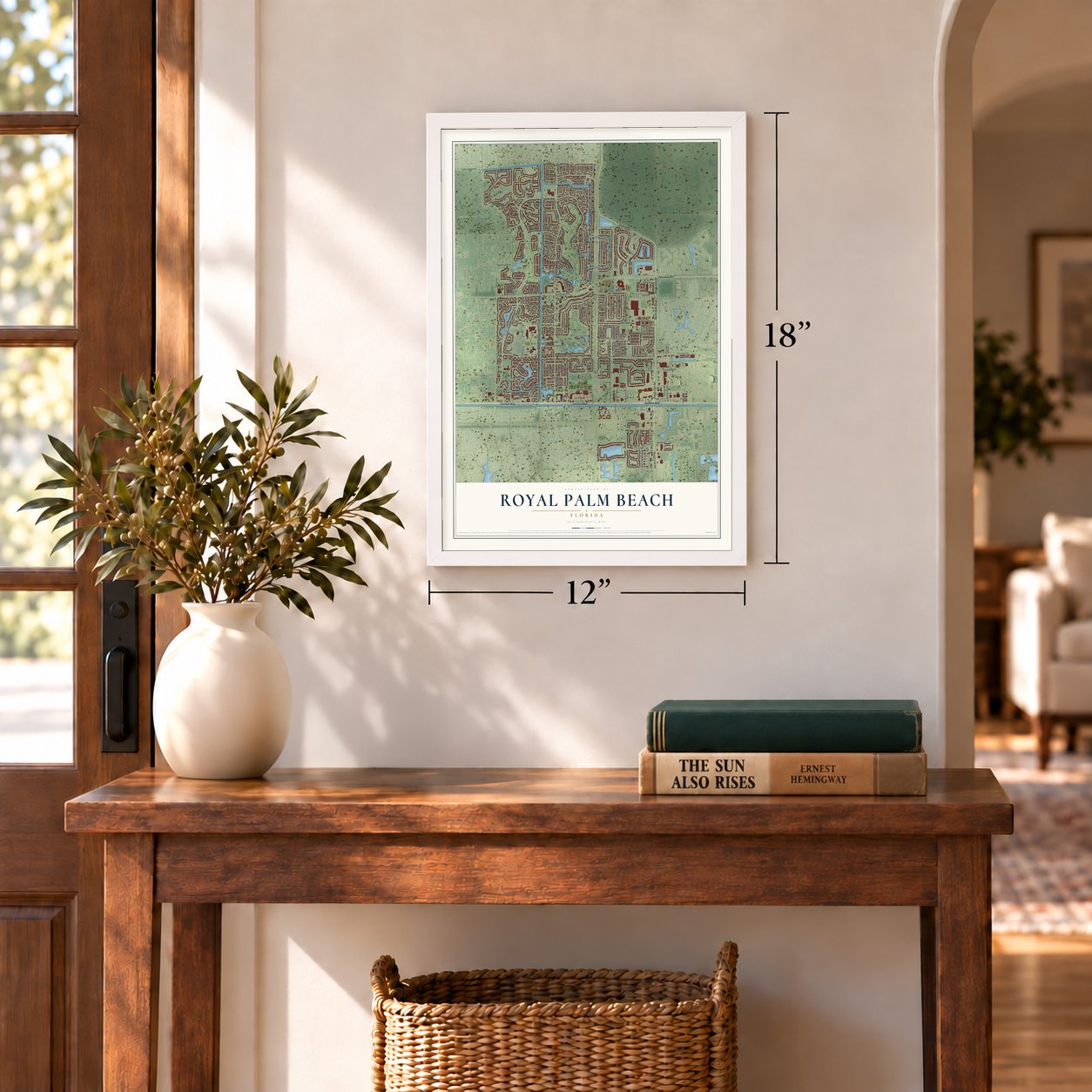
12" x 18" Archival Matte Print
A Map of Home. A Work of Art.
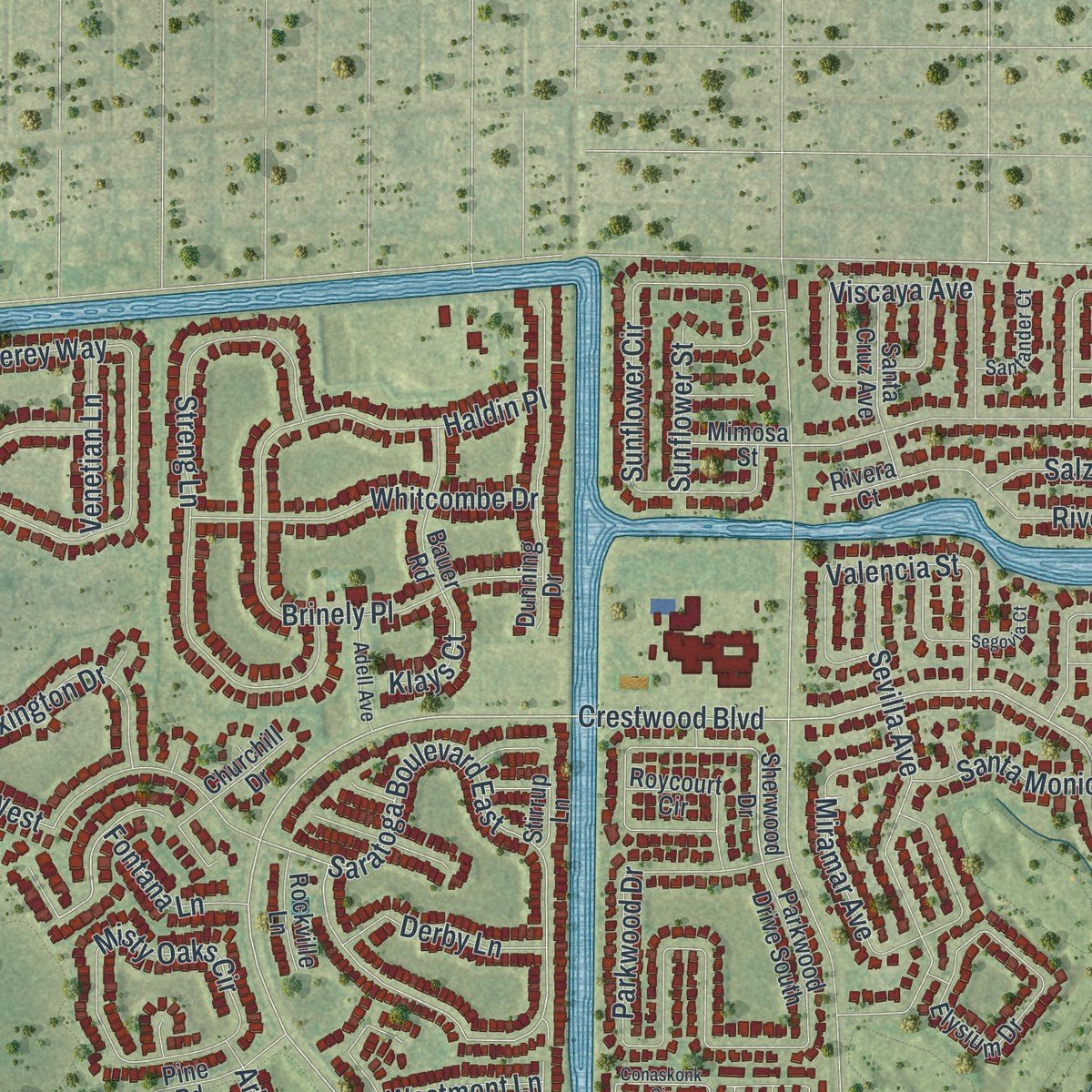
Explore Royal Palm Beach, Florida from a whole new perspective. Created using aerial imagery and detailed geographic data, this map captures Royal Palm Beach building by building, with labeled streets, familiar landmarks, and shaded topographical relief that highlights the natural contours of the landscape.
Combining modern data with the timeless character of a vintage atlas, this map is just as interesting up close as it is beautiful on the wall. Whether you grew up in Royal Palm Beach, spent memorable years there, or call it home today, this unique map is a great way to celebrate a place that means something to you. Zoom in on the preview to look for your street, and then order a print to put your memories on the wall.
Three ways to hang it
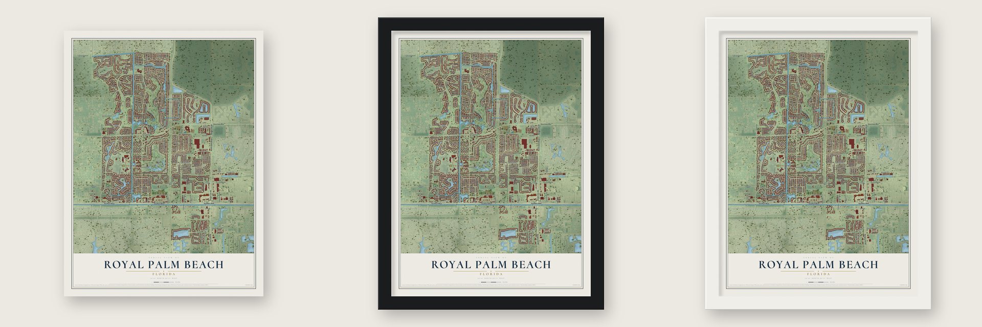
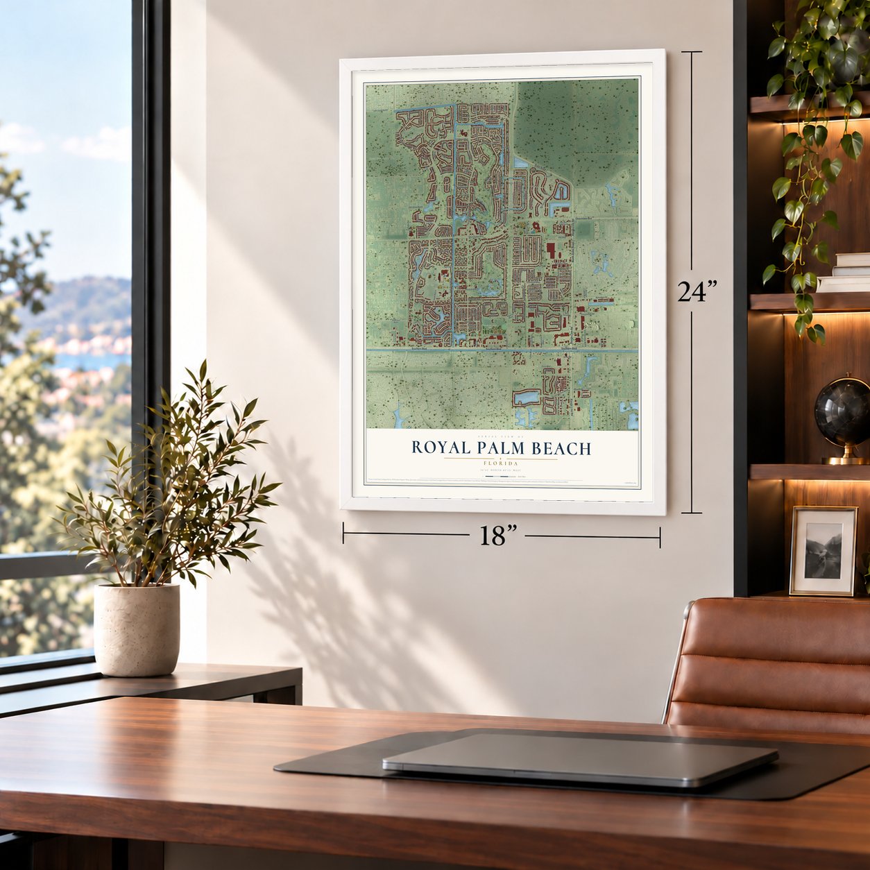
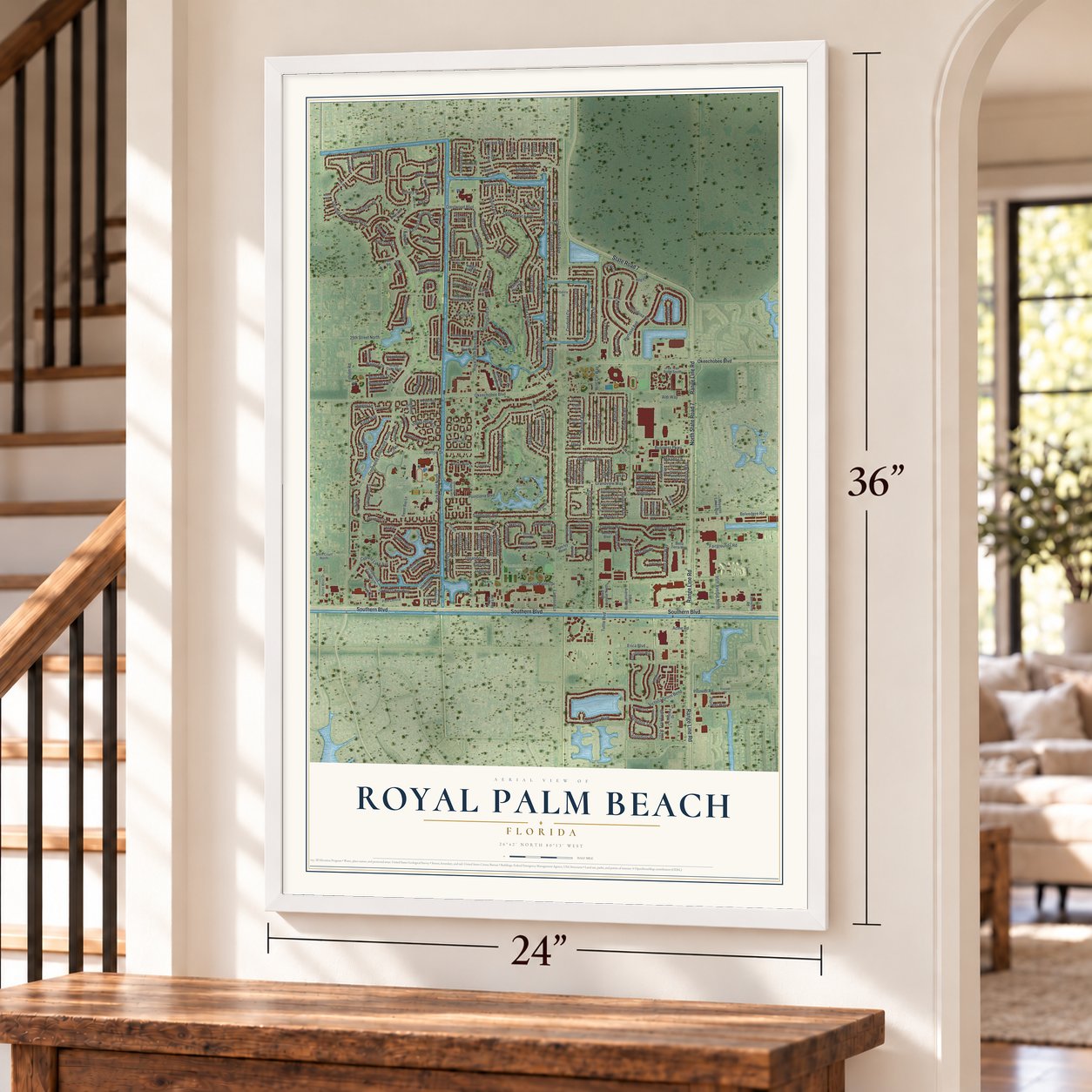
Unframed archival matte, a black wood frame or a white wood frame.
Up close
Geography Worth Displaying
This map was created using accurate cartographic data and authoritative geographic sources, including the U.S. Geological Survey (USGS) and FEMA. The map brings together terrain, waterways, roads, and building detail. The majority of the streets are labeled, houses are accurately depicted, and the topography is derived from government sources. Combining local data with carefully composed color and shading leads to this beautifully detailed Royal Palm Beach artwork for your wall.
Rather than simply showing street outlines, we’ve included as many of the street names as we could reasonably fit on the map while keeping their names legible. Zoom in on the high resolution preview to see exactly what’s on the map. We truly set out to create a statement piece for anyone who loves Royal Palm Beach. So whether it’s for you, or a gift for someone you love, we hope this map of Royal Palm Beach brings back fond memories.
Explore the full map of Royal Palm Beach, Florida and read about the local places it shows.

About Royal Palm Beach, Florida
Royal Palm Beach is a village of 38,932 people in Palm Beach County, about fifteen miles inland from the Atlantic Ocean. In the 1950s the land was mostly swamp and had once been a Seminole hunting ground. Then Sam and Hattie Friedland, the Philadelphia grocers behind Food Fair, paid about $1.25 million for 65,000 acres here and in The Acreage. They sold the land to Arthur Desser, a Miami developer who had founded Lefcourt Realty, and he set aside about 4,200 acres for his new community.
Crews drained the swamp, and the village was incorporated on June 18, 1959. Desser wanted the words Palm Beach in the name and admired the royal palms that lined Palm Beach, so he chose Royal Palm Beach. At the groundbreaking on June 30, 1959, Seminole tribe officials gave up the tribe's old claims to the land. Model homes with two bedrooms and a single bath went on sale from $8,250.
- Friedland takes over in 1961Lefcourt went bankrupt in 1961, which ended Desser's plans. Sam Friedland, a grocer with no experience in housing, bought out Desser's share and formed Royal Palm Beach Colony Inc. to keep building. With Herbert Kaplan as chief executive, the company grew slowly through the 1960s. It built first in the Colony section, where the streets carry flower names, and then in the Willows and LaMancha subdivisions east of Royal Palm Beach Boulevard.
- Klopp the CopJoseph Klopp became the village's first police chief in June 1960. In that first year he was its only full-time officer, with a few part-time helpers. The department later grew to nearly 50 sworn officers. In 2007 the village handed policing to the Palm Beach County Sheriff's Office to save money.
- Firefighters from a trailerIn January 1963 eight volunteers signed up for a fire department in a construction trailer. The village first paid its firefighters in 1972. Karl Combs was hired in 1975 as the department's first chief working full time, earning $13,500 a year. Combs and a lieutenant took the county's first paramedic course, and within a week they saved a village resident whose heart had stopped.
- Tree City USA since 1990The whole village is a bird sanctuary. The Royal Palm Beach Commons circles a 19-acre lake with three miles of paved trails. Pine flatwoods and wet prairie cover much of the 773 acres saved in the Royal Palm Beach Pines Natural Area, which has hiking and horse trails and a boardwalk.
Find your street
Names on the Royal Palm Beach map
Every name below is printed on this map. Look for your street, your school, the park where you played, or the pond down the road.
Places and landmarks5
- Commons Park
- Preservation Park
- Royal Pines Natural Area
- Seminole Palms Park
- Katz Fields
Streets and roads260
- Southern Boulevard
- Range Line Road
- State Road 7
- North State Road 7
- Crestwood Boulevard North
- Par Drive
- Cocoplum Lane
- Crestwood Boulevard
- Ridgewood Circle
- Royal Palm Beach Boulevard
- Ponce de Leon Street
- Waldorf Drive
- Saratoga Boulevard East
- Dalmany Way
- 25th Street North
- Pioneer Road
- Kings Way
- Victoria Grove Bend
- Okeechobee Boulevard
- Bellarosa Circle
- 40th Street North
- Sandpiper Avenue
- Folsom Road
- La Mancha Avenue
- Las Palmas Street
- Sparrow Drive
- Cypress Trce
- Belvedere Road
- Berenger Walk
- Bobwhite Road
Show all 260 streets
- Bilbao Street
- Saratoga Boulevard West
- Monterey Way
- Park Road North
- Reston Circle
- Santa Monica Avenue
- Bella Vista Way
- Dove Circle
- Hibiscus Drive
- Streng Lane
- Camellia Drive
- Martin Circle
- Sunflower Circle
- Poinciana Boulevard
- Lamstein Lane
- Grandview Circle
- Seminole Palms Drive
- Sevilla Avenue
- Erica Boulevard
- Acme Road
- Fairgrounds Road
- Cordoba Circle
- Business Parkway
- Miramar Avenue
- Parkwood Drive
- Grandview Way
- Catania Way
- Meadowlark Drive
- Misty Oaks Circle
- Portasol Avenue
- Santiago Street
- Orchid Drive
- Rivera Avenue
- 95th Avenue North
- Granada Street
- Gardenia Drive
- Viscaya Avenue
- Valencia Street
- Indian Head Circle
- River Bluff Lane
- Brinely Place
- Chorus Way
- Haldin Place
- Galiano Street
- Lexington Drive
- Queens Lane
- Heron Parkway
- Whitcombe Drive
- Bellezza Terrace
- Starling Avenue
- Oleander Drive
- Canterbury Place
- Country Club Drive
- Cortes Avenue
- Briar Oak Drive
- Cordoda Circle
- Pioneer Way
- Seminole Lakes Drive
- Alcazar Street
- Swan Parkway East
- Vicara Court
- Cypress Key Way
- Aldi Way
- Tuttle Boulevard
- Running Oak Lane
- Arbor Lane
- Balsam Drive
- Dahlia Drive
- Hamilton Terrace
- Peppergrass Run
- Salzedo Street
- Barcelona Drive
- Madrid Street
- Prestige Drive
- Derby Lane
- Wild Cat Way
- Cypress Lake Avenue
- Tuscany Drive
- 101st Trail South
- Venetian Lane
- Lilac Drive
- Westmont Drive
- Mikado Lane
- Azalea Drive
- Carissa Drive
- Fontana Lane
- Denlow Lane
- Sunflower Street
- Stardust Way
- Westmont Lane
- Ryan Lane
- Perserve Court
- Sarona Circle
- Croton Drive
- Bobbie Lane
- Strada Court
- Arterra Court
- Misty Lane
- Klays Court
- Carmen Lane
- Oliver Lane
- Pippin Lane
- Prado Street
- Jay Court
- Shoma Drive
- Sherwood Drive
- Crestwood Court North
- Park Central
- Waterview Way
- Sweet Bay Lane
- Waterway Road
- Mc Dermott Lane
- Meadow Woode Drive
- Grand Oaks Boulevard
- Serenade Lane
- Kensington Way
- Oakwater Drive
- Fox Trail Road South
- Fernwood Crescent
- Heatherwood Drive
- Annandale Circle
- Parkwood Drive South
- Kapok Crescent
- Weybridge Circle
- Elysium Drive
- Dunning Drive
- Roycourt Circle
- Garden Cress Trail
- Preserve Drive
- Palms West Drive
- Mayacoo Lakes Boulevard
- Santa Cruz Avenue
- Nottingham Road
- River Run Street
- Gibraltar Street
- 103rd Avenue North
- Ridgefield Drive
- 105th Avenue North
- Spanish Pine Terrace
- Morgate Circle
- Village Walk Drive
- Thornridge Lane
- Bauer Road
- Christina Drive
- Sycamore Drive
- Sixth Court North
- Savoyard Way
- Bella Terra Way
- Donwoods Lane
- Lakeview Drive West
- Pine Road
- Pienza Circle
- Belcara Court
- Natchez Trace Avenue
- Patience Lane
- Aquarius Lane
- Stamford Avenue
- Royal Plaza Road
- Showboat Lane
- Royal Pine Circle South
- Harmony Way
- Isleworth Court
- Malaga Street
- Rockville Lane
- Segura Street
- Twin Lakes Way
- Sunshine Road
- Isola Circle
- Cayo Costa Court
- Cape Ivy Point
- Mimosa Street
- Venice Boulevard
- Grouse Lane
- Regalo Drive
- Sonata Way
- Indian Trail Drive
- Churchill Drive
- Ibisca Terrace
- Oriole Court
- Stirrup Lane
- Eider Court
- Sandy Lane
- Rivera Court
- Linda Court
- Strathmore Gate Drive
- Seminole Lake Drive
- Bellcrest Circle
- Greenway Village North
- Bellcrest Court
- Summertime Lane
- Cambridge Lane
- Fascination Lane
- Newberry Lane
- Raven Court
- Blue Violet Lane
- Gembrook Court
- Santander Court
- Almeria Street
- Adell Avenue
- Waldorf Street
- Calamint Point
- Puffin Court
- Teal Court
- Rhythm Circle
- Garden Court
- Galicia Street
- Cadiz Street
- Crestwood Court South
- Conaskonk Circle
- Swan Parkway West
- Black Olive Crescent
- Lakeview Drive East
- Thornbank Lane
- Rainbow Springs Terrace
- Cortile Street
- Yeoman Lane
- Pinafore Lane
- Lancaster Way
- Elmbank Way
- Bobwhite Court
- Hemingway Court
- Fiddlewood Court
- Mill Pond Lane
- Mayorca Court
- Goldfinch Lane
- Segovia Court
- Emerald Court
- Pineland Road
- Natures Way
- Linnet Lane
Names are listed as they appear on the printed map. Zoom into the product photos to find them.
The art of mapping a place
How This Map Was Made
Real places. Remarkable detail. Discover the layers that turn geographic data into a map of home.

The view from above
Aerial imagery reveals the character of the land: woodland, open fields, and the patterns of a place.

The shape of the land
Elevation data brings hills, valleys, and subtle changes in the landscape into view.

The details of home
Roads, waterways, and building footprints come together to make the map feel unmistakably local.

Geography becomes art
Considered color, shading, and typography bring the layers together in a map made for your wall.


Process illustrated with Mendon, Massachusetts. Aerial imagery: USDA NAIP. Terrain: USGS 3D Elevation Program. Map details and finished artwork: KNOWOL.
The Details
About This Print
Choose an archival matte print, or a black or white Ayous wood frame. The archival matte print is unframed.
Select your size and finish above to see the matching product image and price.
Materials & Craftsmanship
A contemporary map with the character of a classic atlas, printed on archival matte paper. Optional frames are made from Ayous wood.
Your printed map does not include the watermark shown in the full-map preview.
Shipping & Delivery
Free shipping within the United States. Every print is made to order in the USA.
Buying a gift? Add a note in your cart and we'll include it. We never put prices in the package.
Prints ship within 2 to 3 business days. Allow 7 to 10 days total from ordering for delivery. Timing may vary during holidays or periods of high order volume.
Read our shipping policy.
Returns and damaged prints
Each print is made to order. Change-of-mind refunds are not available after production.
If your print arrives damaged, misprinted or incorrect, contact support@knowol.com within 30 days of receiving it. Include your order number, photos and a description of the issue.
Read our full refund and replacement policy. For questions about your order, email support@knowol.com.
Find your town
Looking for another city?
Find a map of home in our Florida collection, or any town in the country.
Nearby
Maps of towns near Royal Palm Beach
Know someone from one of these towns? Their map makes a great gift.
 Loxahatchee Groves
, Florida
From $39.99See the map
 Wellington
, Florida
From $39.99See the map
 Lake Belvedere Estates
, Florida
From $39.99See the map
More maps nearby: Westlake, Plantation Mobile Home Park, Royal Palm Estates, The Acreage and Stacey Street.