
Search for another town


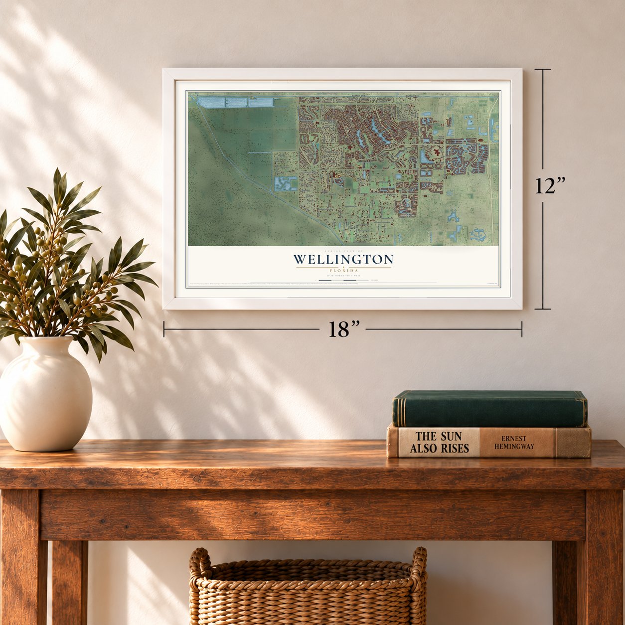
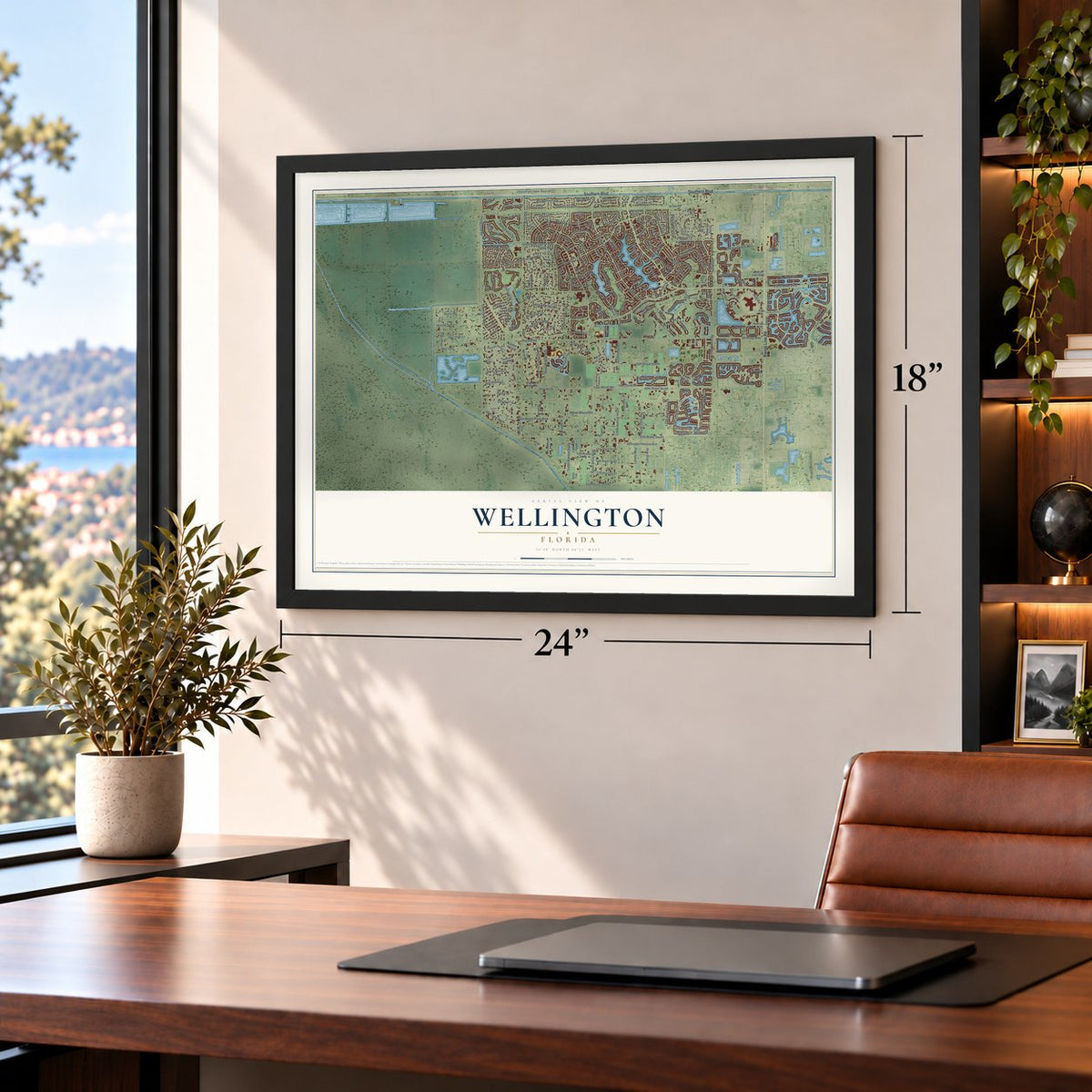
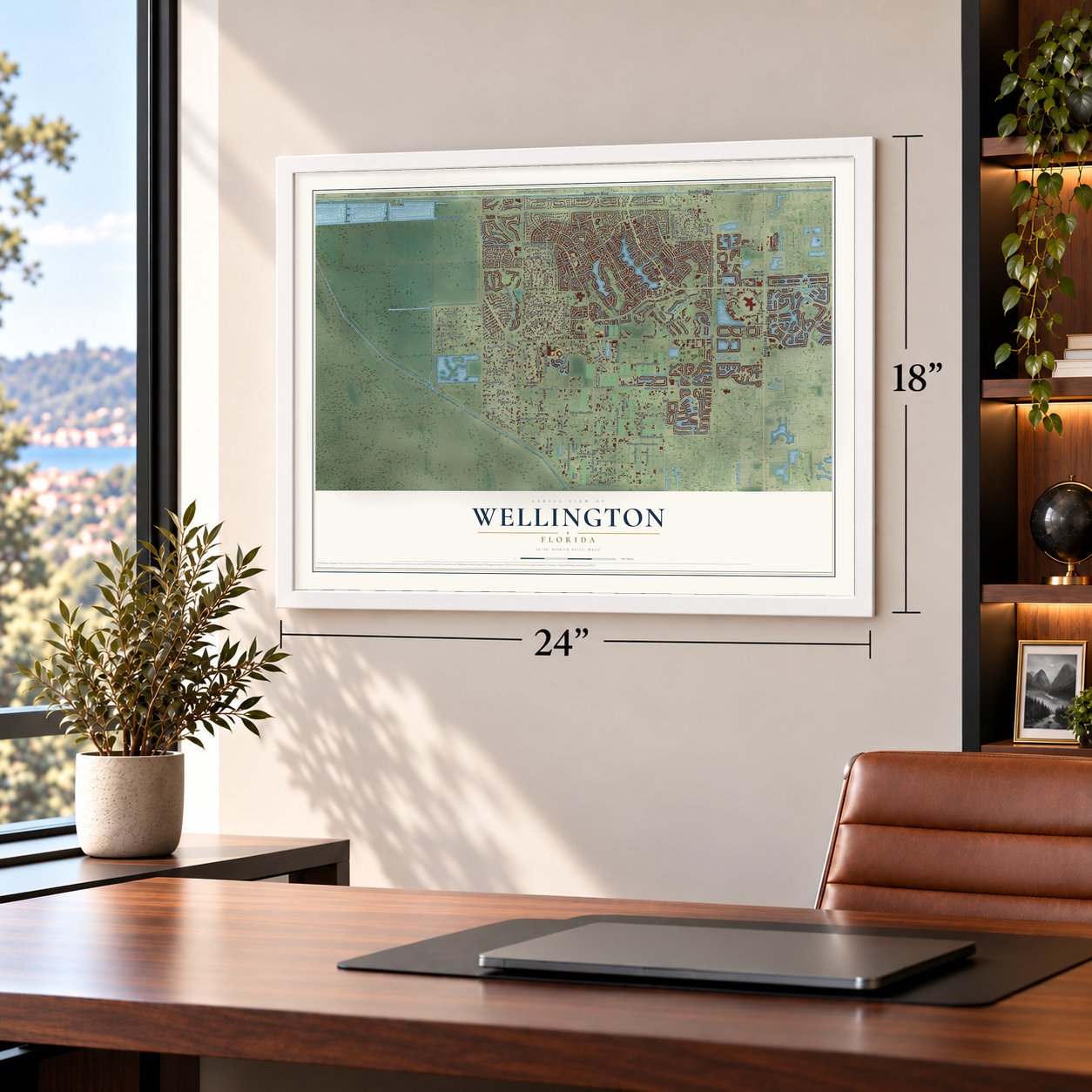

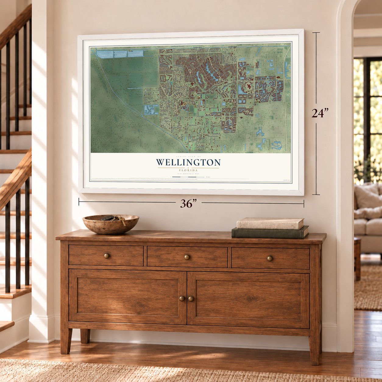

Free U.S. delivery 7 to 10 days after you order
Wellington, Florida Map Art
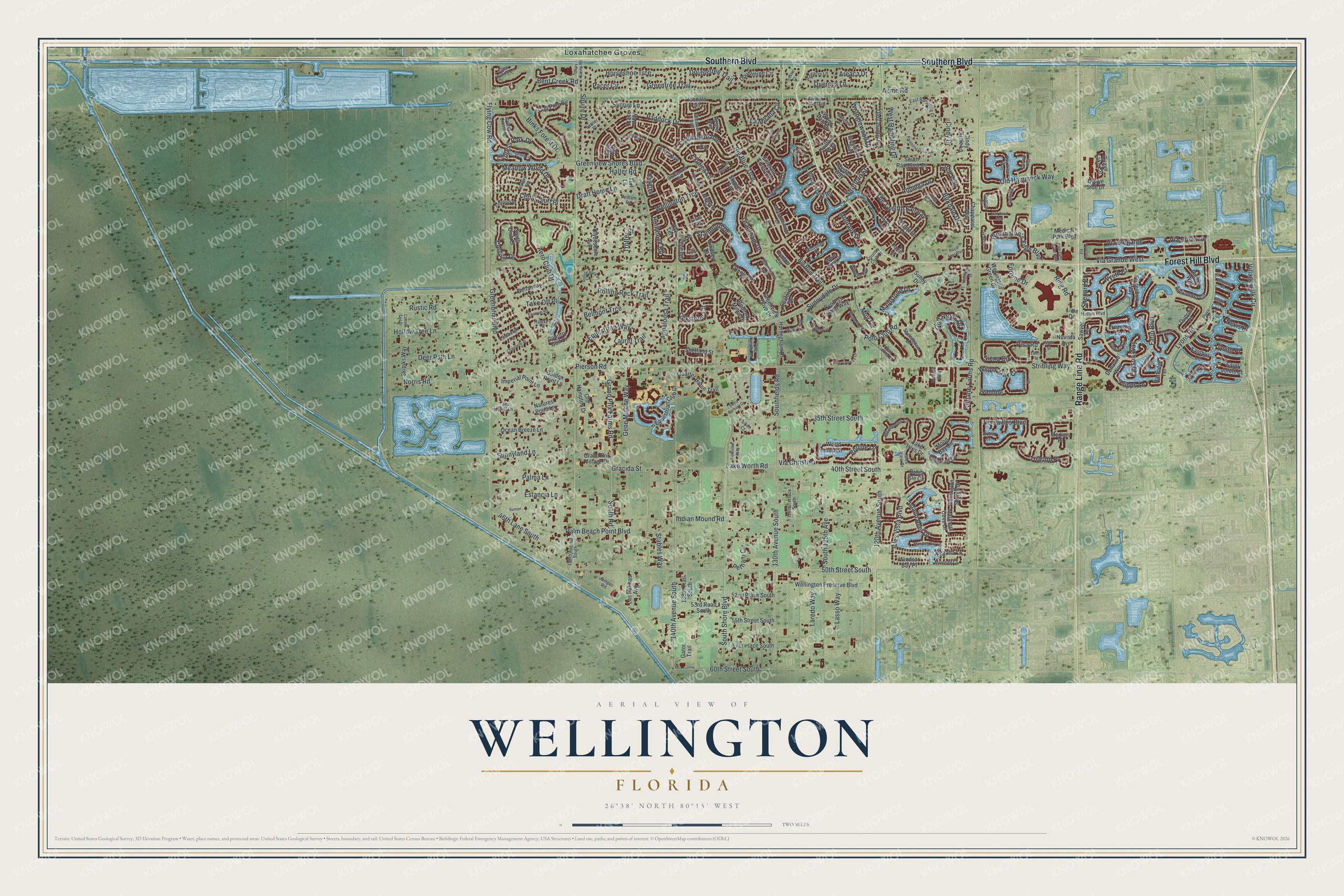
A new map of Wellington, Florida, made in 2026 and printed to order on thick archival matte paper.
12" x 18" Archival Matte Print
A Map of Home. A Work of Art.
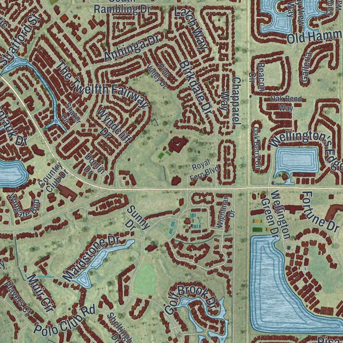
Explore Wellington, Florida from a whole new perspective. Created using aerial imagery and detailed geographic data, this map captures Wellington building by building, with labeled streets, familiar landmarks, and shaded topographical relief that highlights the natural contours of the landscape.
Combining modern data with the timeless character of a vintage atlas, this map is just as interesting up close as it is beautiful on the wall. Whether you grew up in Wellington, spent memorable years there, or call it home today, this unique map is a great way to celebrate a place that means something to you. Zoom in on the preview to look for your street, and then order a print to put your memories on the wall.
Three ways to hang it
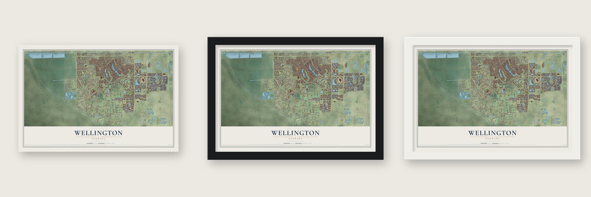
Unframed archival matte, a black wood frame or a white wood frame.
Up close
Geography Worth Displaying
This map was created using accurate cartographic data and authoritative geographic sources, including the U.S. Geological Survey (USGS) and FEMA. The map brings together terrain, waterways, roads, and building detail. The majority of the streets are labeled, houses are accurately depicted, and the topography is derived from government sources. Combining local data with carefully composed color and shading leads to this beautifully detailed Wellington artwork for your wall.
Rather than simply showing street outlines, we’ve included as many of the street names as we could reasonably fit on the map while keeping their names legible. Zoom in on the high resolution preview to see exactly what’s on the map. We truly set out to create a statement piece for anyone who loves Wellington. So whether it’s for you, or a gift for someone you love, we hope this map of Wellington brings back fond memories.
Explore the full map of Wellington, Florida and read about the local places it shows.

About Wellington, Florida
Wellington is a village of 61,637 people in Palm Beach County, and it has more people than any other village in Florida. In the 1950s Charles Oliver Wellington, a Massachusetts accountant who also flew planes, bought about 18,000 acres of swampland lying west of U.S. Route 441, below Southern Boulevard. He called it Flying Cow Ranch because his initials spelled "cow," and a levee that the Army Corps of Engineers built to the south between 1952 and 1953 kept Everglades floodwater off the land.
Charles died in 1959, and his son Roger took over the ranch. In 1972 Roger sold 7,200 acres to Jim Nall, a Fort Lauderdale developer, and the county commissioners voted without dissent to let the Acme Drainage District turn the land into a planned unit development. Builders dug the 150 acre Lake Wellington and added a golf course, a country club and homes. The 1980 census counted 4,622 residents, and for years the place had few stores or restaurants, so most people worked elsewhere.
- Flying Cow strawberriesAfter Charles Wellington died, the family sold 1,200 acres at $300 an acre to his agent, Arthur William "Bink" Glisson, who resold the land within months for $1,000 an acre. Through the 1960s more farmers bought or leased parts of the ranch, and at one point about 2,000 acres grew strawberries, a field people called the biggest strawberry patch on earth.
- Polo and a private airparkGould Florida Inc. took over the development in the late 1970s. Under Gould, the International Polo Club Palm Beach was built, and today it hosts high-goal events including the U.S. Open Polo Championship and the USPA Gold Cup. Gould also created the Aero Club, a neighborhood with its own private airpark.
- A village by 138 votesResidents voted on incorporation on November 7, 1995, and it passed 3,851 to 3,713. Wellington became a village on December 31, 1995, just in time to qualify for state revenue sharing in 1996. It was Palm Beach County's 38th municipality, with about 28,000 people.
- The first village councilNo candidate won a majority in the first council election on March 12, 1996, so runoffs followed on March 26. Two days later the new council chose Kathy Foster as mayor and Carmine Priore as vice mayor.
- The Winter Equestrian FestivalFrom January to April every year, Wellington holds the Winter Equestrian Festival, the world's biggest horse show and the one that has run the longest. Riders from other countries come for show jumping, hunting and dressage, the Global Dressage Festival was added in 2011, and the village now holds more than forty weeks of horse competitions a year.
Find your street
Names on the Wellington map
Every name below is printed on this map. Look for your street, your school, the park where you played, or the pond down the road.
Places and landmarks2
- 5th
- Loxahatchee Groves
Streets and roads277
- Forest Hill Boulevard
- Southern Boulevard
- Range Line Road
- Wellington's Edge Boulevard
- Lyons Road
- Via Grande West
- West Rambling Drive
- Aero Club Drive
- South Shore Boulevard
- Wellington Trce
- Flying Cow Road
- 50th Street South
- Greenbriar Boulevard
- Pierson Road
- Palm Beach Point Boulevard
- Villagewalk Circle
- 120th Avenue South
- Stribling Way
- Appaloosa Trail
- Indian Mound Road
- Lake Worth Road
- Polo Club Road
- Horseshoe Trce
- Fatio Boulevard
- Greenview Shores Boulevard
- Paddock Drive
- Big Blue Trce
- 130th Avenue South
- 140th Avenue South
- 40th Street South
Show all 277 streets
- Versailles Boulevard
- Draft Horse Lane
- Meadow Wood Drive
- Isles Vista Boulevard
- Exotica Lane
- Southfields Road
- Stirrup Lane
- Ring Road
- Birkdale Drive
- Old Hammock Way
- Equestrian Way
- Equine Lane
- The Twelfth Fairway
- Binks Forest Drive
- Siena Circle
- Gracida Street
- La Mirada Circle
- Fairlane Farms Road
- South Road
- 35th Street South
- Grand Prix Farms Road
- Greentree Trail
- Bent Creek Road
- South 125th Avenue
- Acme Road
- Sunnyland Lane
- Hollow Tree Lane
- 60th Street South
- Sunnydale Drive
- Rustic Road
- Norris Road
- Deer Path Lane
- Squire Drive
- Shepard Place
- 46th Lane South
- Belmont Trce
- Pelham Circle
- Rolling Rock Trail
- Estancia Lane
- Trianon Place
- Gene Mische Way
- Laredo Way
- Lasso Way
- Quercus Lane
- Cindy Drive
- Via Elegante
- Folkstone Circle
- Columbine Avenue
- Staimford Drive
- Hollyhock Road
- Island Reef Drive
- Corsica Drive
- Doubletree Trail
- Phipps Lane
- Cypress Park Drive
- Cedar Bluff Place
- Halter Road
- Willow Oak Court
- Via Christina
- Wranglewood Drive
- Grantham Drive
- Maidstone Drive
- Laurel Trail
- Areaca Drive
- Palma Lane
- Payson Way
- Pacer Circle
- Stratford Street
- Montauk Drive
- Via Brilliante
- Golf Brook Drive
- Muir Circle
- Trotter Court
- Take Off Place
- Larch Way
- Anhinga Drive
- Stables Way
- Pisa Road
- Wyeth Court
- Fortune Drive
- Quito Place
- Ivanhoe
- Nevis Place
- Wellington Green Drive
- Wellington Shores Drive
- South Rambling Drive
- South Club Drive
- Bahia Isle Circle
- Mystic Way
- Wellington Preserve Boulevard
- Old Country Road
- Alexandra Circle
- Country Golf Drive
- Old Hampton Drive
- 55th Street South
- Gulf Pine Circle
- Doubletree Circle
- 57th Place South
- Dupont Place
- Ishnala Circle
- Greenview Cove Drive
- Aster Avenue
- 52nd Place South
- Hurlingham Drive
- Wyndcliff Drive
- Quaye Lake Circle
- Moon Bay Circle
- Equestrian Club Drive
- Clydesdale Avenue
- Lynton Circle
- Geranium Place
- Natures Point Lane
- Cindy Circle Lane
- Imperial Point Lane
- Azure Avenue
- Quarter Horse Trail
- Sawyer Terrace
- Emerald Forest Drive
- Skipiks Way
- Sage Avenue
- Raintree Lane
- Treanor Terrace
- Ocean Breeze Lane
- Cypress Island Way
- Block Island Road
- 53rd Road South
- Big Blue Trail
- Chapparel Way
- Las Palmas Avenue
- Guilford Way
- 138th Trail South
- Mariners Cove Drive
- Nuvista Avenue
- Bedford Mews Drive
- Golden Point Lane
- Balsan Way
- Hartridge Terrace
- Seaford Drive
- Lake Isles Drive
- Stotesbury Way
- World Cup Lane
- Windsor Bay Place
- Sheffield Street
- Xanthus Lane
- Turf Lane
- Regatta Lane
- Grand Prix Village Drive
- Medical Park Boulevard
- Gator Trail
- Saint Johns Court
- Bellanca Lane
- Henley Place
- Skipton Avenue
- Donahue Way
- Wood Dale Drive
- Trace Way
- Lindsey Court
- Quaye Side Drive
- Medicis Place
- Rye Terrace
- Sunny Drive
- Lilac Place
- Lime Drive
- Meadowbreeze Drive
- Lake Breeze Drive
- Miramontes Circle
- Beacon Circle
- East Rambling Drive
- 150th Avenue South
- White Coral Drive
- Sunderland Avenue
- Galleria
- Sheltingham Drive
- Players Court
- Goldenrod Road
- Pineacre Lane
- Edgewater Circle
- Bay View Way
- Shoreline Drive
- Wingate Bnd
- 128th Terrace South
- Pelham Road
- Verdmont Lane
- Mallet Circle
- Hutton Boulevard
- Prato Street
- Mainsail Court
- Larkspur Lane
- Isles View Drive
- Tulip Lane
- Mulberry Place
- Cypress Crossing
- Brightwood Way
- Lindbergh Lane
- Oleaster Avenue
- Timber Pine Trail
- Polo Island Drive
- Country Club Drive
- Glen Willow Lane
- Hawker Lane
- Farrier Place
- Ivy Drive
- Fortune Way
- Sea Mist Lane
- Jumper Road
- Donlin Drive
- Aiken Court
- Canyon Way
- Osley Farms Road
- Via Castello
- Rambling Drive Circle
- Pine Valley Drive
- Oak Berry Circle
- Headwater Circle
- Polo Lake Drive East
- Blue Cypress Lane
- Hamblin Way
- Longlea Terrace
- Cedar Grove Lane
- Oak Bend Way
- Jonquil Place
- Delemar Court
- Sawgrass Court
- Santa Barbara Drive
- Rolling Rock Place
- Manatee Bay Lane
- Shaker Circle
- Mizner Way
- Bent Cypress Road
- Wightman Drive
- Edgefield Road
- Chandelle Place
- Hyacinth Place
- Royal Fern Boulevard
- Enstrom Road
- Pillsbury Way
- Via Toscana
- Cotton Tail Drive
- Vanderbilt Drive
- Sunset Lane
- Dominica Place
- Forester Court
- Fieldview Way
- Arcole Court
- Lucca Street
- Belize Place
- Playa Drive
Names are listed as they appear on the printed map. Zoom into the product photos to find them.
The art of mapping a place
How This Map Was Made
Real places. Remarkable detail. Discover the layers that turn geographic data into a map of home.

The view from above
Aerial imagery reveals the character of the land: woodland, open fields, and the patterns of a place.

The shape of the land
Elevation data brings hills, valleys, and subtle changes in the landscape into view.

The details of home
Roads, waterways, and building footprints come together to make the map feel unmistakably local.

Geography becomes art
Considered color, shading, and typography bring the layers together in a map made for your wall.


Process illustrated with Mendon, Massachusetts. Aerial imagery: USDA NAIP. Terrain: USGS 3D Elevation Program. Map details and finished artwork: KNOWOL.
The Details
About This Print
Choose an archival matte print, or a black or white Ayous wood frame. The archival matte print is unframed.
Select your size and finish above to see the matching product image and price.
Materials & Craftsmanship
A contemporary map with the character of a classic atlas, printed on archival matte paper. Optional frames are made from Ayous wood.
Your printed map does not include the watermark shown in the full-map preview.
Shipping & Delivery
Free shipping within the United States. Every print is made to order in the USA.
Buying a gift? Add a note in your cart and we'll include it. We never put prices in the package.
Prints ship within 2 to 3 business days. Allow 7 to 10 days total from ordering for delivery. Timing may vary during holidays or periods of high order volume.
Read our shipping policy.
Returns and damaged prints
Each print is made to order. Change-of-mind refunds are not available after production.
If your print arrives damaged, misprinted or incorrect, contact support@knowol.com within 30 days of receiving it. Include your order number, photos and a description of the issue.
Read our full refund and replacement policy. For questions about your order, email support@knowol.com.
Find your town
Looking for another city?
Find a map of home in our Florida collection, or any town in the country.
Nearby
Maps of towns near Wellington
Know someone from one of these towns? Their map makes a great gift.
 Royal Palm Beach
, Florida
From $39.99See the map
 Loxahatchee Groves
, Florida
From $39.99See the map
 Westlake
, Florida
From $39.99See the map
More maps nearby: Greenacres, Royal Palm Estates, Lake Belvedere Estates, The Acreage and Plantation Mobile Home Park.