
Search for another town




Free U.S. delivery 7 to 10 days after you order
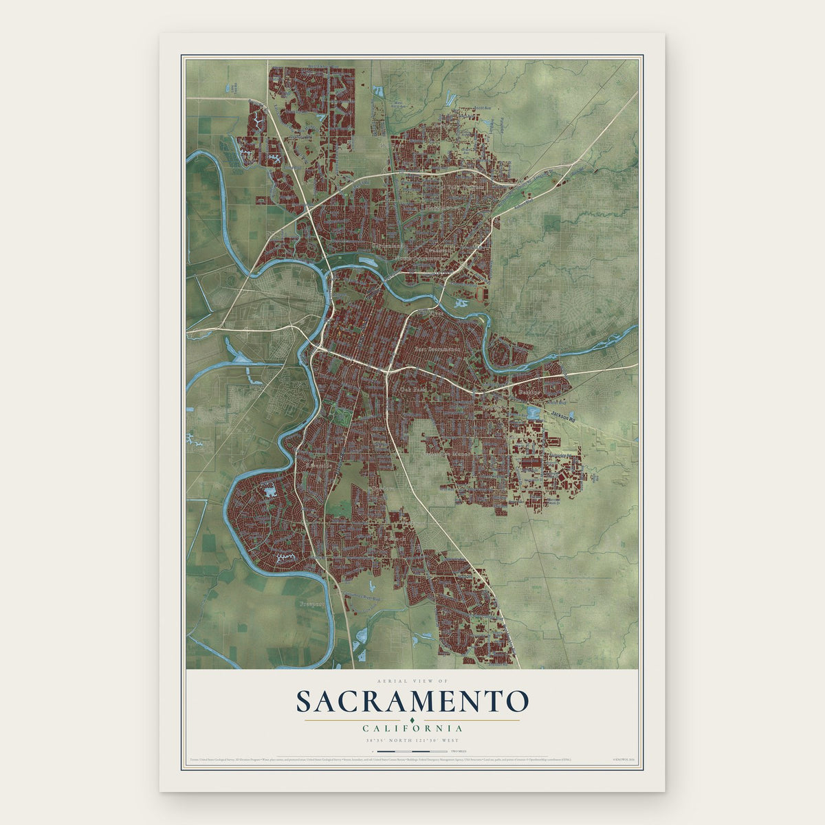
Sacramento, California Map Art
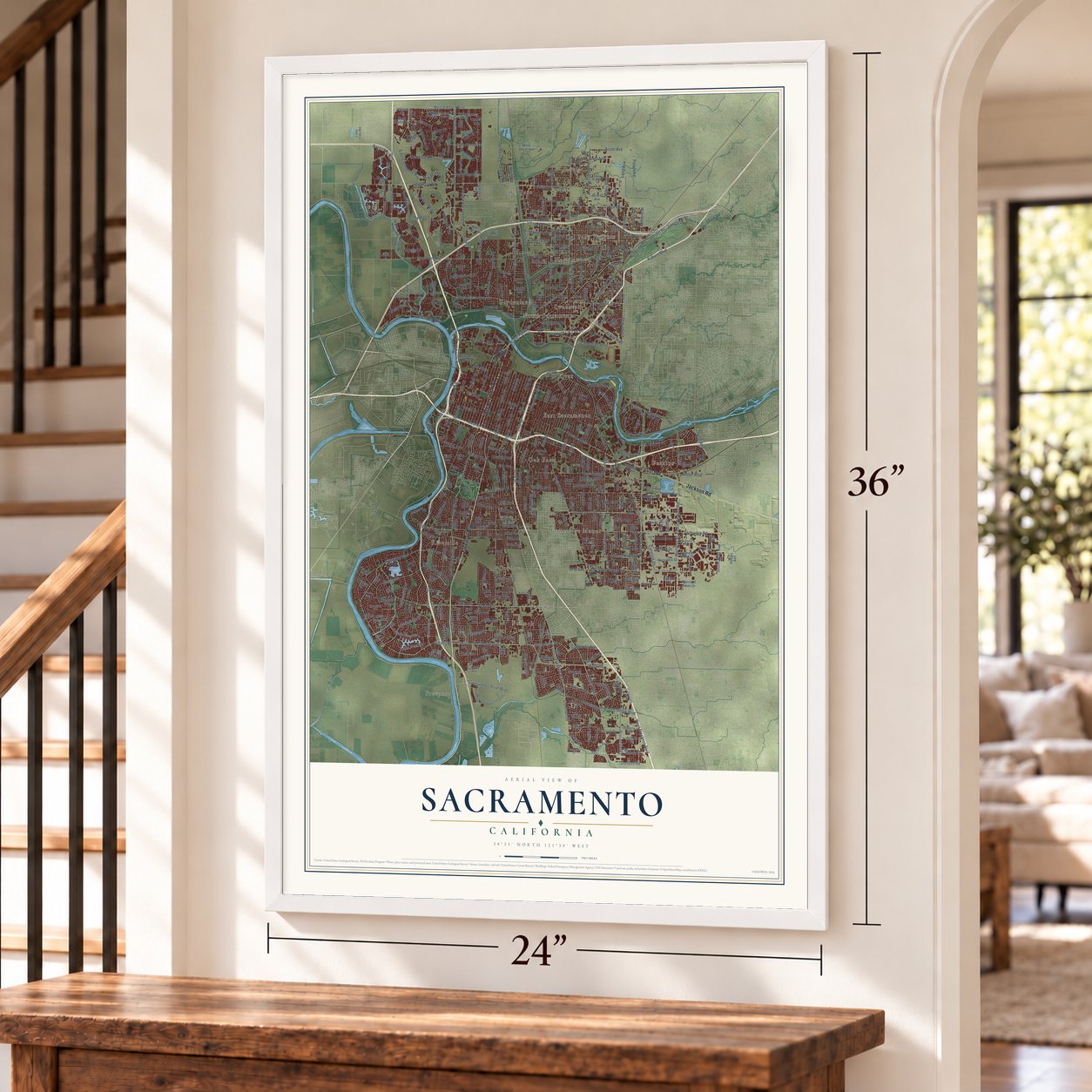
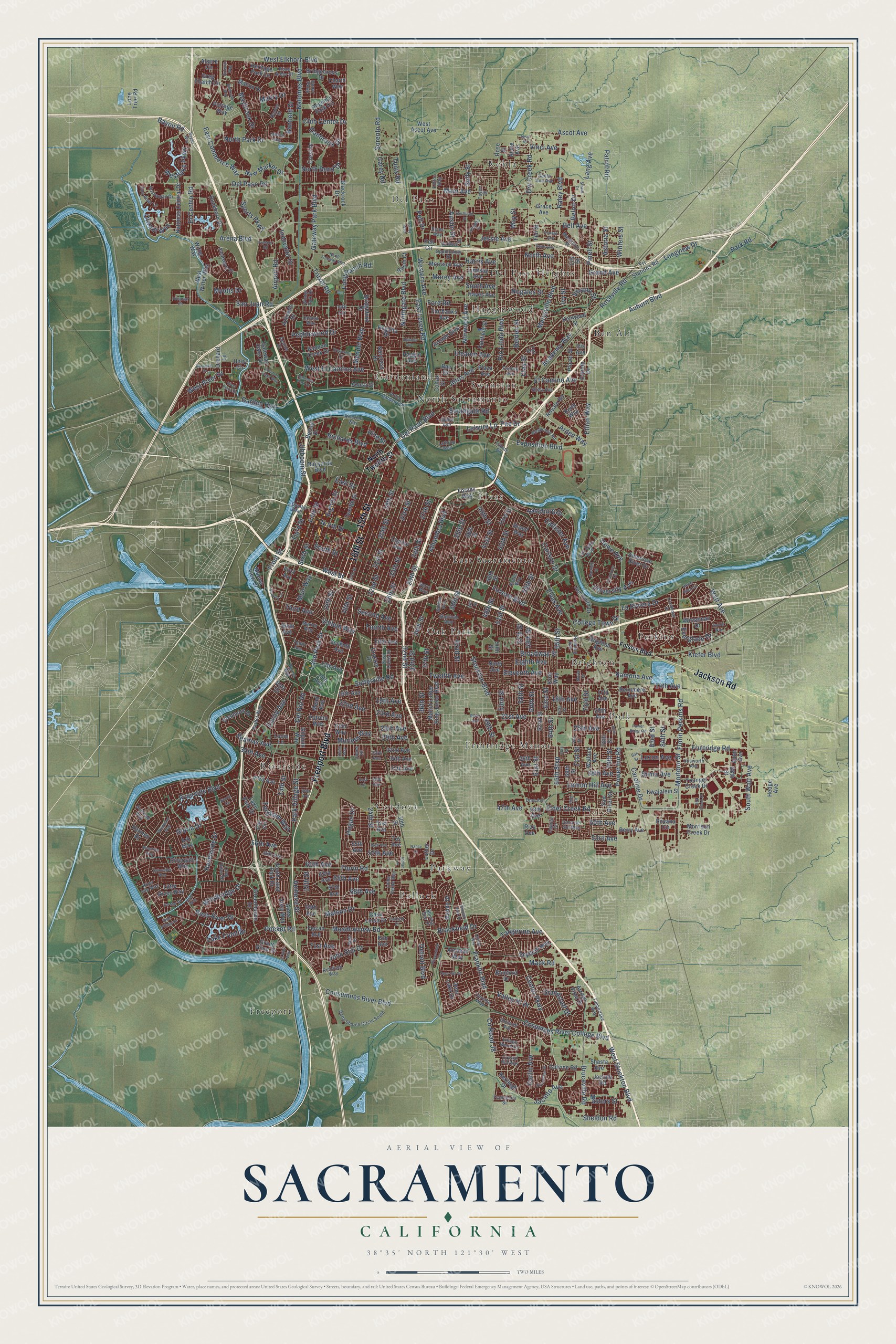
A new map of Sacramento, California, made in 2026 and printed to order on thick archival matte paper.
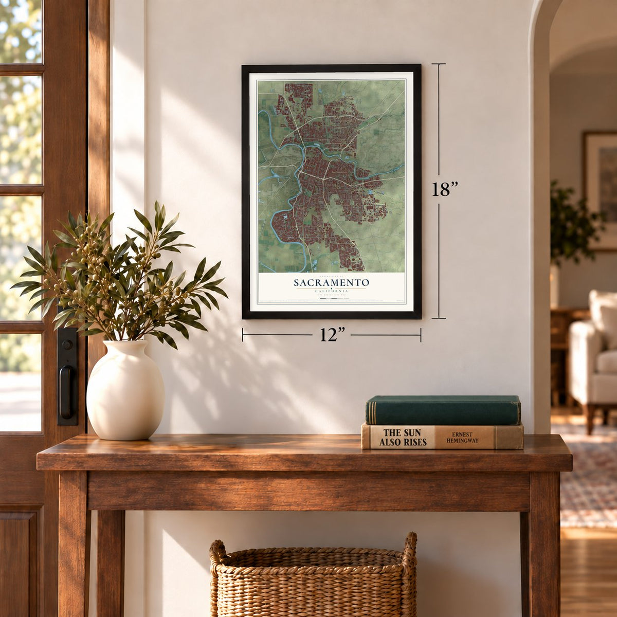
12" x 18" Archival Matte Print
A Map of Home. A Work of Art.
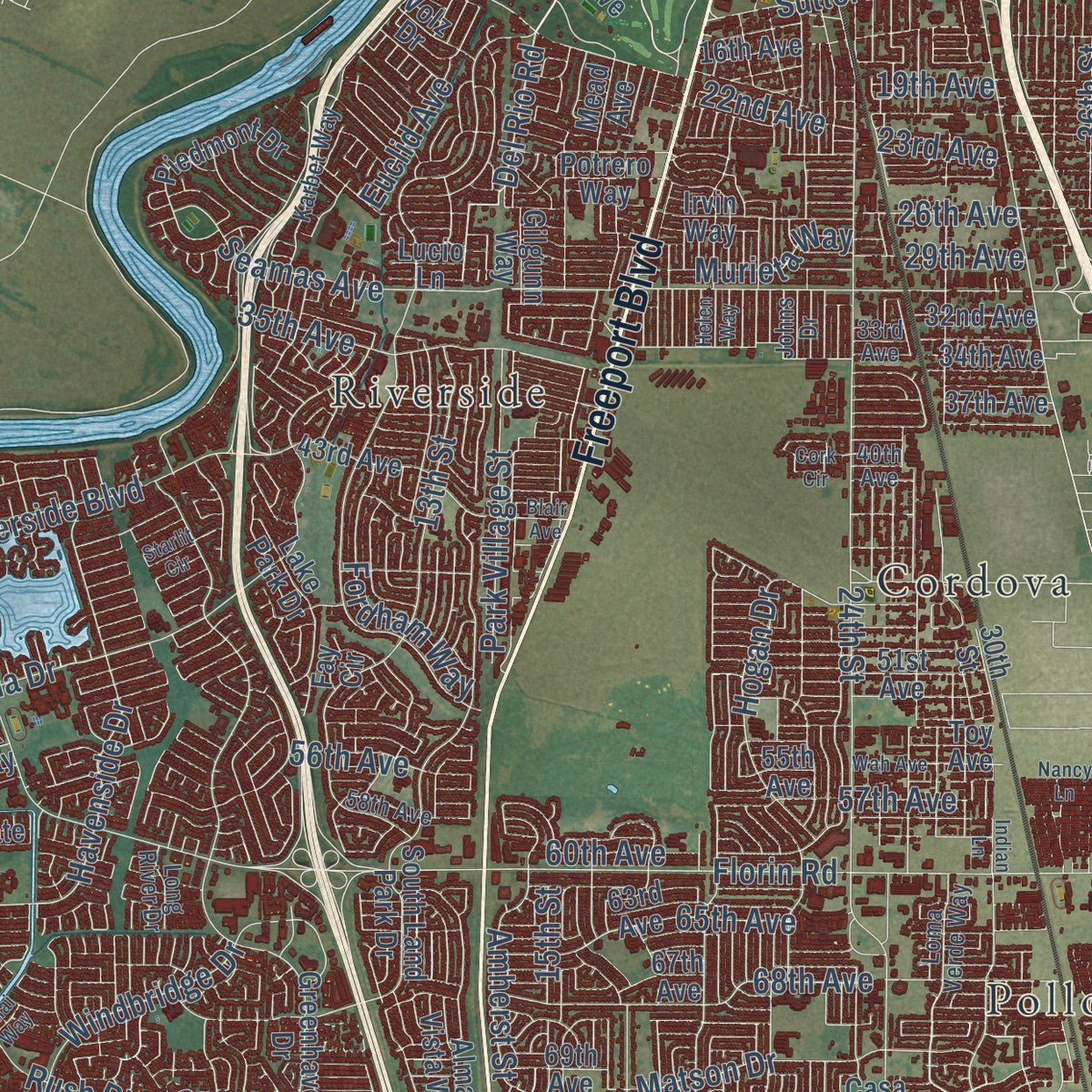
Explore Sacramento, California from a whole new perspective. Created using aerial imagery and detailed geographic data, this map captures Sacramento building by building, with labeled streets, familiar landmarks, and shaded topographical relief that highlights the natural contours of the landscape.
Combining modern data with the timeless character of a vintage atlas, this map is just as interesting up close as it is beautiful on the wall. Whether you grew up in Sacramento, spent memorable years there, or call it home today, this unique map is a great way to celebrate a place that means something to you. Zoom in on the preview to look for your street, and then order a print to put your memories on the wall.
Three ways to hang it
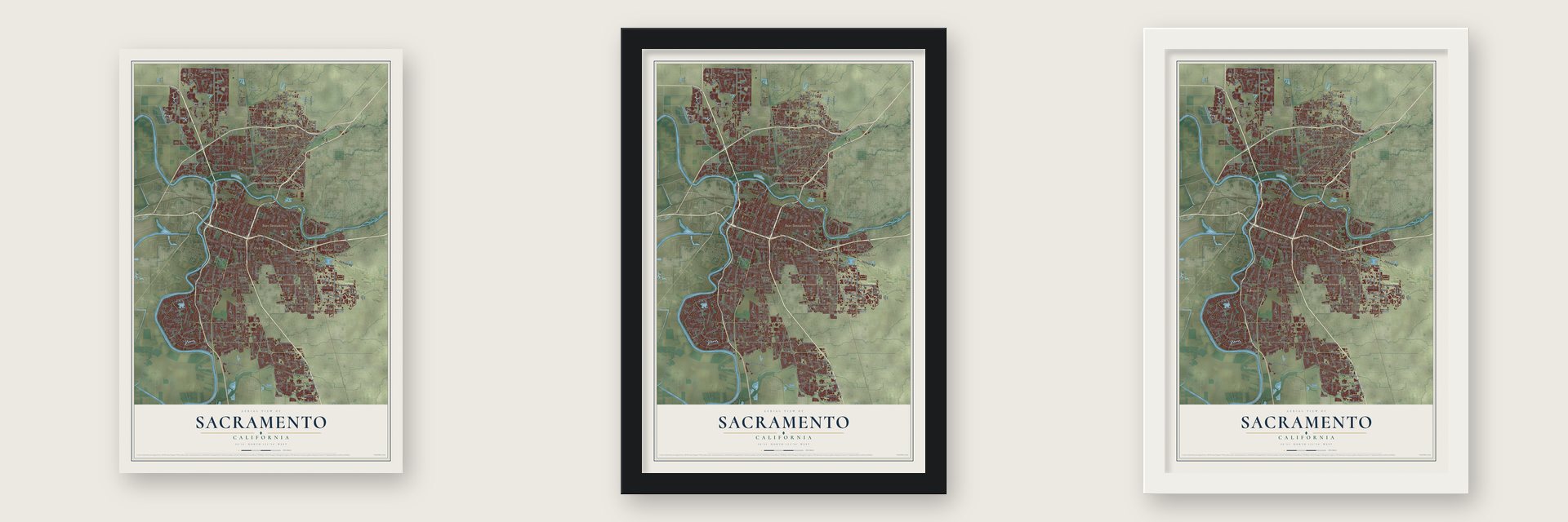
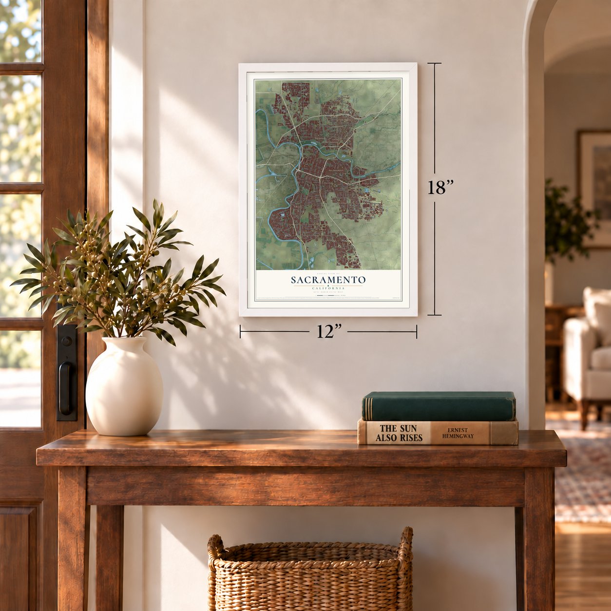
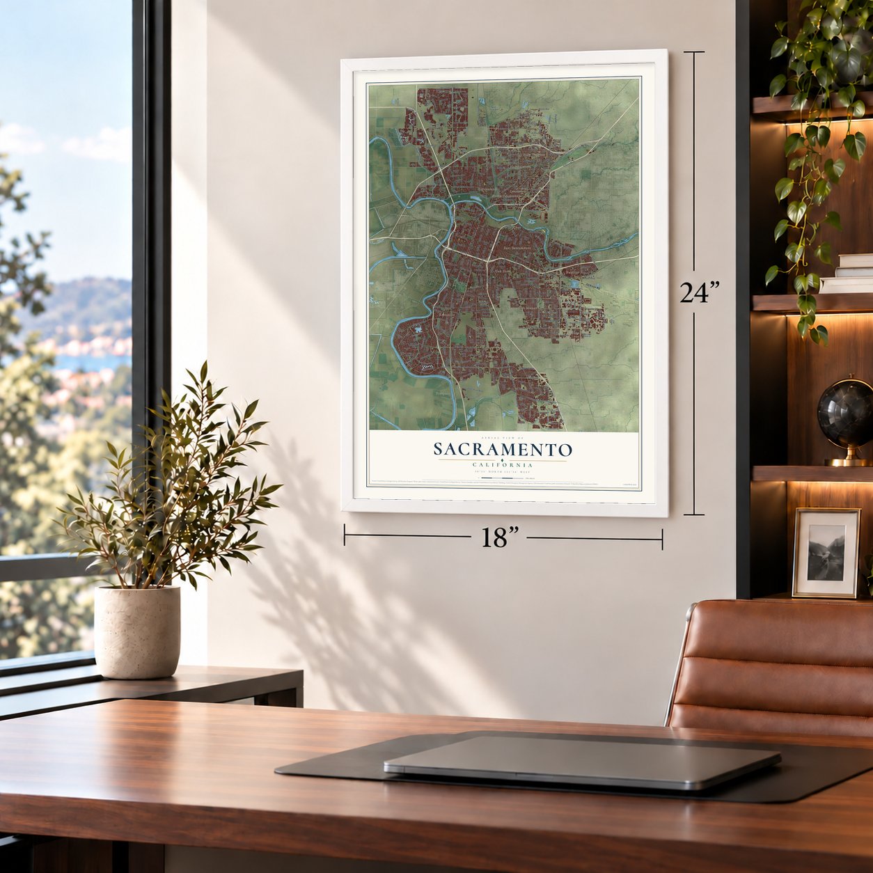
Unframed archival matte, a black wood frame or a white wood frame.
Up close
Geography Worth Displaying
This map was created using accurate cartographic data and authoritative geographic sources, including the U.S. Geological Survey and the Census Bureau. The map brings together terrain, waterways, roads, and building detail. The majority of the streets are labeled, houses are accurately depicted, and the topography is derived from government sources. Combining local data with carefully composed color and shading leads to this beautifully detailed Sacramento artwork for your wall.
Rather than simply showing street outlines, we’ve included as many of the street names as we could reasonably fit on the map while keeping their names legible. Zoom in on the high resolution preview to see exactly what’s on the map. We truly set out to create a statement piece for anyone who loves Sacramento. So whether it’s for you, or a gift for someone you love, we hope this map of Sacramento brings back fond memories.
Read the story behind this map of Sacramento, California from 2026.

About Sacramento, California
Sacramento is the capital of California, a city of 524,943 people and the seat of Sacramento County, where the American River flows into the Sacramento. John Sutter arrived here on August 13, 1839, holding a Mexican land grant of 50,000 acres. The following year his party built Sutter's Fort out of adobe, and he named his colony New Helvetia.
When James Marshall found gold at Sutter's Mill in Coloma in 1848, thousands of miners poured in and squatted on Sutter land. By December of that year his son, John Sutter Jr., and Samuel Brannan were laying out a new city 2 miles south of the fort, against the elder Sutter's wishes. The first lots sold in January 1849, the town quickly became a busy trading center, and it was incorporated on February 27, 1850, making it the oldest incorporated city in California.
“Canopies of oaks and cottonwoods, many festooned with grapevines, overhung both sides of the blue current. Birds chattered in the trees and big fish darted through the pellucid depths.”
- Capital since 1854After statehood the legislature kept moving: San Jose through 1851, Vallejo in 1852 and Benicia in 1853. Sacramento offered lawmakers its county courthouse, and they settled here in 1854. Work on the Capitol began in 1860. Legislators moved into its chambers in 1869, while construction went on around them, and the building was finished in 1874. The constitutional convention of 1879 made Sacramento the permanent capital.
- Flood and cholera in 1850A flood on January 10, 1850, nearly wiped out the young city. Cholera followed late that year and killed 1,000 people, among them Hardin Bigelow, the first elected mayor, and 17 of the city's 40 doctors.
- Fire and a fast rebuildingA levee Bigelow had pushed for was finished in early 1852 but broke a month later. Then the Great Conflagration of November 2, 1852, burned more than 80 percent of the city's buildings. Within a month 761 had been rebuilt, many of them in brick.
- The streets were raisedThe Great Flood of 1862 was the worst in the city's history, and Leland Stanford rode a rowboat to his own inauguration as governor. From 1862 until the mid-1870s, the city built brick walls along its downtown streets and filled them with dirt. Old ground floors became basements, and parts of that buried level, called the Sacramento Underground, can still be seen.
- Where the railroad startedSacramento was the western end of the Pony Express. In 1863 work on the first transcontinental railroad began here, with Collis P. Huntington, Leland Stanford, Mark Hopkins and Charles Crocker putting up the money. Taxes on goods moved from riverboats onto rail cars in the city's rail yards helped pay for its public works.
Find your street
Names on the Sacramento map
Every name below is printed on this map. Look for your street, your school, the park where you played, or the pond down the road.
Places and landmarks20
- Ben Ali
- Brighton
- Cordova
- Del Paso
- Del Paso Heights
- East Sacramento
- Elvas
- Freeport
- Fruitridge Manor
- Gardenland
- Hagginwood
- North Sacramento
Show all 20 places
- Oak Park
- Parkway
- Perkins
- Polk
- Pollock
- Riverside
- Robla
- Swanston
Streets and roads489
- Freeport Boulevard
- 16th Street
- 15th Street
- Jackson Road
- Folsom Boulevard
- Center Parkway
- Park Road
- Land Park Drive
- Del Paso Boulevard
- Power Inn Road
- Del Rio Road
- 24th Street
- Fruitridge Road
- Franklin Boulevard
- Riverside Boulevard
- East Levee Road
- Stockton Boulevard
- 21st Avenue
- Florin Road
- Broadway Street
- Auburn Boulevard
- 14th Avenue
- 13th Street
- Garden Highway
- 21st Street
- 23rd Street
- Rio Linda Boulevard
- San Juan Road
- Pocket Road
- Del Paso Road
Show all 489 streets
- East Commerce Way
- 25th Street
- Second Avenue
- West Elkhorn Boulevard
- West El Camino Avenue
- 19th Street
- Northgate Boulevard
- Arden Way
- Elder Creek Road
- Eighth Avenue
- Truxel Road
- South Street
- 14th Street
- Gloria Drive
- Fourth Avenue
- County Road J8
- Eleventh Avenue
- 18th Street
- Marysville Boulevard
- 34th Street
- Florin Perkins Road
- 27th Street
- 28th Street
- Bell Avenue
- Harris Avenue
- 22nd Street
- 33rd Street
- 63rd Street
- South Avenue
- 55th Street
- Norwood Avenue
- 29th Street
- 36th Street
- 32nd Street
- North Street
- Third Avenue
- Bruceville Road
- Main Avenue
- 26th Street
- Grand Avenue
- Consumnes River Boulevard
- Elvas Avenue
- 35th Street
- Mack Road
- Fifth Street
- 61st Street
- 39th Street
- Dry Creek Road
- 35th Avenue
- El Camino Avenue
- South Watt Avenue
- 58th Street
- 65th Stxp
- Altos Avenue
- Twelfth Avenue
- 42nd Street
- Meadowview Road
- Valley Hi Drive
- East Street
- North Avenue
- Club Center Drive
- Sports Parkway
- Caroline Drive
- 37th Street
- 25th Avenue
- Amherst Street
- 53rd Street
- University Avenue
- Howe Avenue
- Alhambra Boulevard
- 48th Street
- Arena Boulevard
- Natomas Boulevard
- 38th Avenue
- West Street
- 20th Street
- Sutterville Road
- 40th Street
- Gateway Park Boulevard
- Cosumnes River College Boulevard
- 51st Street
- Raley Boulevard
- 65th Street
- 57th Street
- 18th Avenue
- 45th Street
- 47th Avenue
- 64th Street
- Jacinto Avenue
- 49th Street
- 23rd Avenue
- Rush River Drive
- 41st Street
- 19th Avenue
- El Centro Road
- Ethan Way
- La Riviera Drive
- Ramona Avenue
- Lemon Hill Avenue
- Exposition Boulevard
- Ascot Avenue
- West Stockton Boulevard
- Eighth Street
- 59th Street
- Roseville Road
- Sandburg Drive
- Richards Boulevard
- 71st Street
- 60th Street
- Third Street
- Front Street
- Havenside Drive
- Mabry Drive
- West River Drive
- 50th Avenue
- 26th Avenue
- Sixth Street
- Vallejo Way
- Pebblewood Drive
- North Park Drive
- College Town Drive
- Belden Street
- Jessie Avenue
- Clay Street
- 53rd Avenue
- 68th Avenue
- 22nd Avenue
- Grandstaff Drive
- Watt Avenue
- Western Avenue
- May Street
- 65th Avenue
- Eleanor Avenue
- Windbridge Drive
- North Bend Drive
- Hogan Drive
- Lake Front Drive
- Ford Road
- Sorento Road
- Maybrook Drive
- Tangerine Avenue
- 79th Street
- Morey Avenue
- Jibboom Street
- Carlson Drive
- Westlake Parkway
- Pinell Street
- Vinci Avenue
- Winters Street
- Nogales Street
- Park Village Street
- Brookfield Drive
- Astoria Street
- Longview Drive
- Carlin Avenue
- Fong Ranch Road
- Academy Way
- 73rd Street
- Fordham Way
- Danbrook Drive
- Matson Drive
- Sheldon Road
- Innovator Drive
- Seamas Avenue
- Detroit Boulevard
- Muir Way
- 57th Avenue
- 56th Avenue
- 60th Avenue
- New Market Drive
- Pell Drive
- John Still Drive
- Lang Avenue
- Murieta Way
- Kiefer Boulevard
- Southgate Road
- Ivy Street
- Banfield Drive
- Mortono Street
- Callister Avenue
- Fee Drive
- Patrol Road
- Airport Road
- Bayou Road
- Olivadi Way
- Everglade Drive
- Austin Street
- Mendel Way
- Verano Street
- Masters Street
- Vine Street
- Leisure Lane
- Siena Avenue
- Luzon Avenue
- Euclid Avenue
- Myotis Drive
- 71st Avenue
- Beloit Drive
- Sully Street
- 83rd Street
- Carey Road
- Tunis Road
- 29th Avenue
- 84th Street
- North Twelfth Street
- 34th Avenue
- Heritage Park Lane
- Gilgunn Way
- South Land Park Drive
- Greenhaven Drive
- Seventh Avenue
- Ninth Avenue
- Arcade Boulevard
- 43rd Avenue
- Duckhorn Drive
- 13th Avenue
- 62nd Street
- 38th Street
- 30th Street
- 46th Street
- 43rd Street
- 20th Avenue
- 50th Street
- 15th Avenue
- First Avenue
- Sixth Avenue
- Twelfth Street
- 37th Avenue
- Gateway Oaks Drive
- Fifth Avenue
- Martin Luther King Junior Boulevard
- Calvine Road
- 16th Avenue
- Bamford Drive
- 51st Avenue
- Grace Avenue
- 17th Avenue
- Bridgeford Drive
- 48th Avenue
- Younger Creek Drive
- 36th Avenue
- Arroyo Vista Drive
- Morrison Avenue
- Capitol Avenue
- Connie Drive
- Harmon Drive
- 88th Street
- Fairfield Street
- Azevedo Drive
- 32nd Avenue
- Rivergate Way
- Bridgecross Drive
- Natomas Central Drive
- Belvedere Avenue
- Mandy Drive
- 69th Street
- Fairbanks Avenue
- Regency Park Circle
- Tri Stations Road
- Greg Thatch Circle
- Luther Drive
- Rovana Circle
- Piedmont Drive
- Orchard Lane
- Jed Smith Drive
- Sun River Drive
- West Witter Way
- 63rd Avenue
- Blackrock Drive
- Haggin Avenue
- Wisseman Drive
- Macon Drive
- Bercut Drive
- 67th Avenue
- Deer Lake Drive
- Colfax Street
- Railyards Boulevard
- 69th Avenue
- Pell Circle
- Fell Street
- Irvin Way
- Lake Park Drive
- Rose Street
- Kroy Way
- Allaire Circle
- Kwajalein Street
- Alder Avenue
- Alma Vista Way
- Crocker Drive
- American River Drive
- 78th Street
- Crest Drive
- Ferran Avenue
- Jacinto Road
- Norcross Drive
- West Ascot Avenue
- Little River Way
- Seyferth Way
- Portage Way
- Wallace Avenue
- Shasta Avenue
- Potrero Way
- Marina View Drive
- Regatta Drive
- Rexleigh Drive
- Brighton Avenue
- Morrison Creek Drive
- Charm Way
- Hayes Avenue
- Lindsay Avenue
- Grand River Drive
- Plover Street
- Bannon Creek Drive
- Forney Way
- Berry Avenue
- Casa Linda Drive
- Royale Road
- Azusa Street
- Keith Way
- Rosin Court
- Kenwood Street
- Plaza Avenue
- Lily Street
- Archean Way
- Witter Way
- Lone Tree Road
- Lucio Lane
- Fay Circle
- Brand Way
- Iris Avenue
- Mead Avenue
- Volz Drive
- Acme Avenue
- Unity Circle
- Toy Avenue
- Hedge Avenue
- Ishi Circle
- Ark Way
- Bay Drive
- Kim Avenue
- 55th Avenue
- Riza Avenue
- Loma Verde Way
- Rose Arbor Drive
- Tenth Avenue
- 33rd Avenue
- Taylor Street
- 40th Avenue
- Santa Ana Avenue
- Delta Shores Circle South
- Ehrhardt Avenue
- Frienza Avenue
- Shining Star Drive
- Redding Avenue
- Arden Garden Con
- Capitol Mall
- Capital Circle
- Response Road
- Fair Oaks Boulevard
- Silica Avenue
- Timberlake Way
- Dunlay Drive
- Karbet Way
- Surfside Way
- Honor Parkway
- Tribute Road
- Hovnanian Drive
- Taft Street
- Lathrop Way
- Opportunity Street
- Saintsbury Drive
- East Curtis Drive
- Don River Lane
- Kelton Way
- Richfield Way
- Macarthur Street
- Unsworth Avenue
- Village Wood Drive
- Rodeo Way
- Globe Avenue
- Francesca Street
- Du Bois Street
- Aquino Drive
- Sherman Way
- 58th Avenue
- Winter Park Drive
- Marian Way
- Riverine Way
- River Isle Way
- Dias Avenue
- Torrente Way
- Crystal Hill Way
- Casa del Sol Way
- Long River Drive
- Urbana Way
- Beth Street
- Darnel Way
- Gerber Avenue
- Johns Drive
- Estes Way
- Serra Way
- Quinby Way
- 17th Street
- 44th Street
- River Plaza Drive
- Occidental Drive
- Hartnell Place
- Barandas Drive
- Commons Drive
- Alcantar Circle
- 67th Street
- Rene Avenue
- Power Ridge Road
- Bayou Way
- Helen Way
- Seavey Circle
- Prosper Road
- 66th Street
- Natomas Park Drive
- Windward Way
- Minden Way
- Sunnybrae Drive
- North Freeway Boulevard
- Brewerton Drive
- Wah Avenue
- Venture Oaks Way
- Rivertree Way
- Water Glen Circle
- Perry Avenue
- Maita Circle
- River Village Drive
- Sky Creek Drive
- Flowerdale Drive
- Starlit Circle
- Spinnaker Way
- El Rito Way
- Youngs Avenue
- Phoenix Park Drive
- De Mar Drive
- Deer Hill Drive
- Straus Drive
- Burgess Drive
- Bankside Way
- Twilight Drive
- Indiana Avenue
- Berthoud Street
- Nancy Lane
- Dulwich Way
- 80th Street
- Indian Lane
- Blair Avenue
- Bali Street
- Ring Drive
- Saints Way
- Cork Circle
- Tandy Way
- Neal Road
- 70th Street
- Imai Way
Names are listed as they appear on the printed map. Zoom into the product photos to find them.
The art of mapping a place
How This Map Was Made
Real places. Remarkable detail. Discover the layers that turn geographic data into a map of home.

The view from above
Aerial imagery reveals the character of the land: woodland, open fields, and the patterns of a place.

The shape of the land
Elevation data brings hills, valleys, and subtle changes in the landscape into view.

The details of home
Roads, waterways, and building footprints come together to make the map feel unmistakably local.

Geography becomes art
Considered color, shading, and typography bring the layers together in a map made for your wall.


Process illustrated with Mendon, Massachusetts. Aerial imagery: USDA NAIP. Terrain: USGS 3D Elevation Program. Map details and finished artwork: KNOWOL.
The Details
About This Print
Choose an archival matte print, or a black or white Ayous wood frame. The archival matte print is unframed.
Select your size and finish above to see the matching product image and price.
Materials & Craftsmanship
A contemporary map with the character of a classic atlas, printed on archival matte paper. Optional frames are made from Ayous wood.
Your printed map does not include the watermark shown in the full-map preview.
Shipping & Delivery
Free shipping within the United States. Every print is made to order in the USA.
Buying a gift? Add a note in your cart and we'll include it. We never put prices in the package.
Prints ship within 2 to 3 business days. Allow 7 to 10 days total from ordering for delivery. Timing may vary during holidays or periods of high order volume.
Read our shipping policy.
Returns and damaged prints
Each print is made to order. Change-of-mind refunds are not available after production.
If your print arrives damaged, misprinted or incorrect, contact support@knowol.com within 30 days of receiving it. Include your order number, photos and a description of the issue.
Read our full refund and replacement policy. For questions about your order, email support@knowol.com.
Find your town
Looking for another city?
Find a map of home in our California collection, or any town in the country.
Nearby
Maps of towns near Sacramento
Know someone from one of these towns? Their map makes a great gift.
 Fruitridge Pocket
, California
From $39.99See the map
 Lemon Hill
, California
From $39.99See the map
 West Sacramento
, California
From $39.99See the map
More maps nearby: Parkway, Arden-Arcade, La Riviera, Rosemont and Florin.