
Search for another town





Free U.S. delivery 7 to 10 days after you order
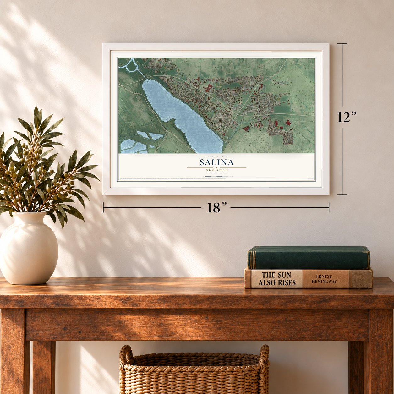
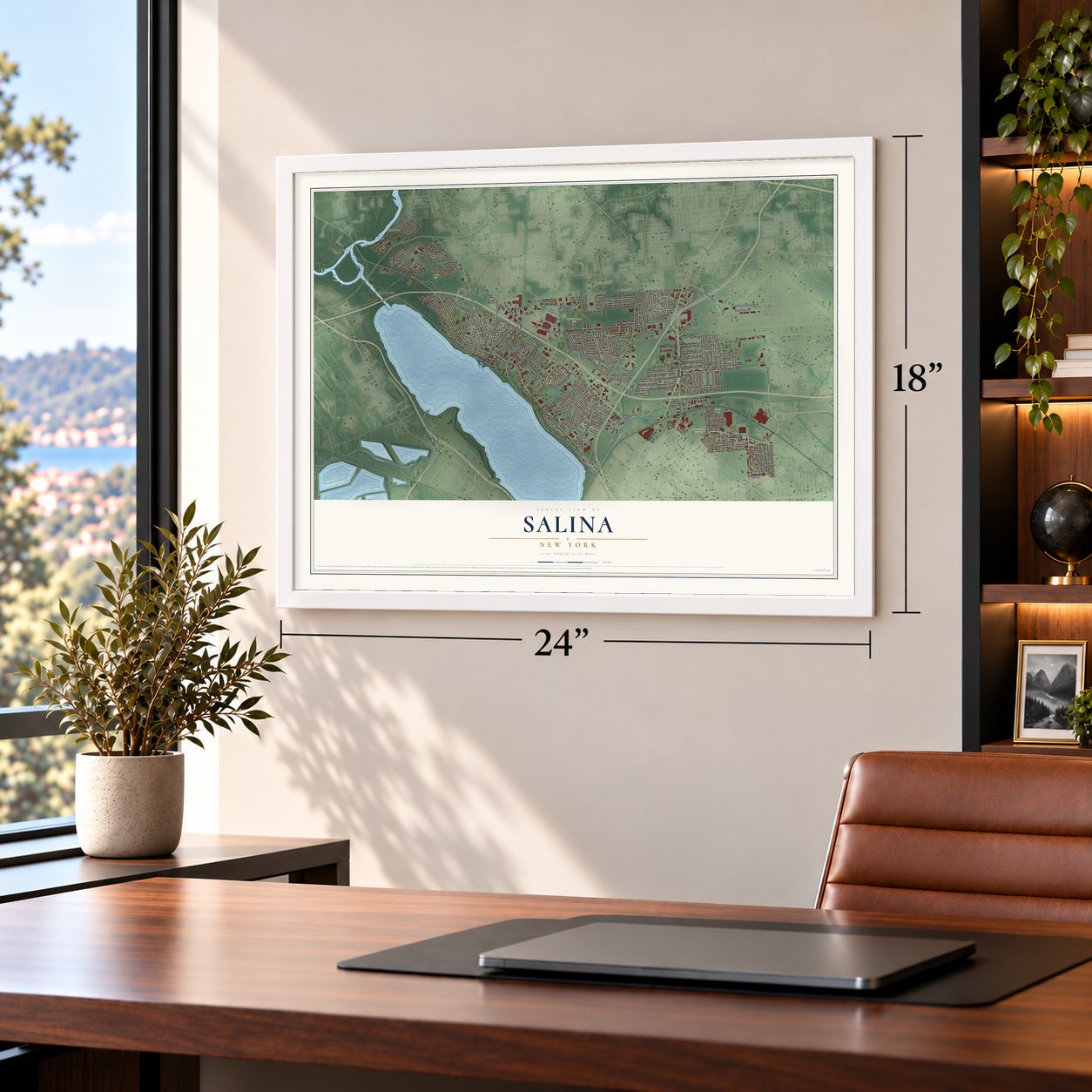
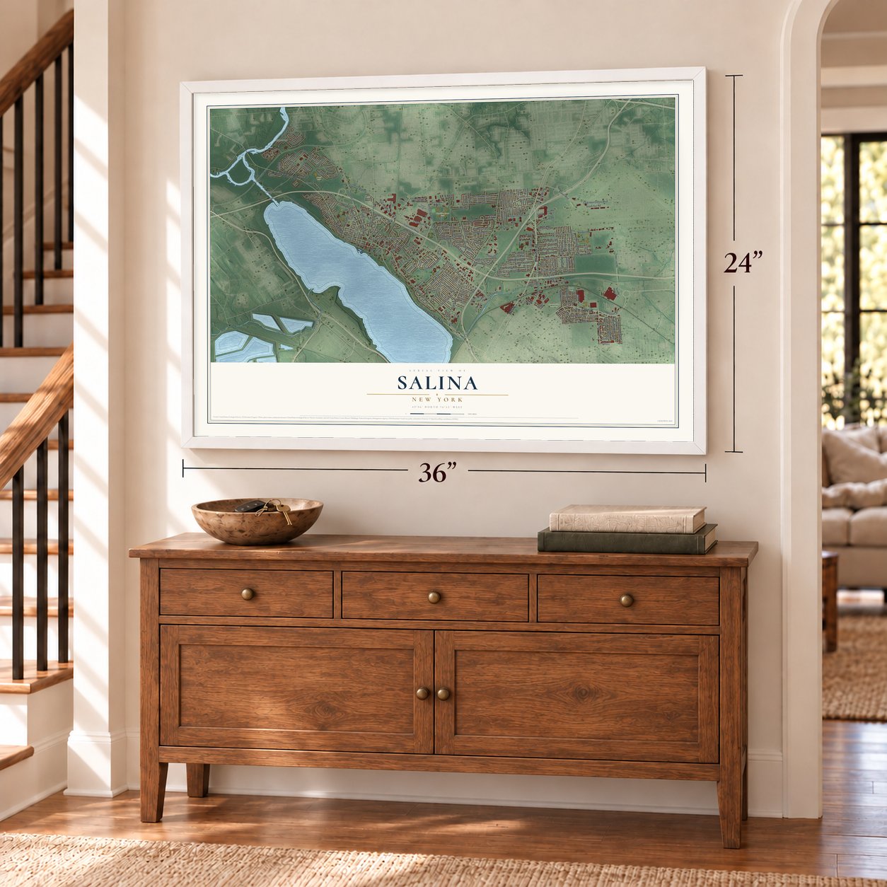
Salina, New York Map Art
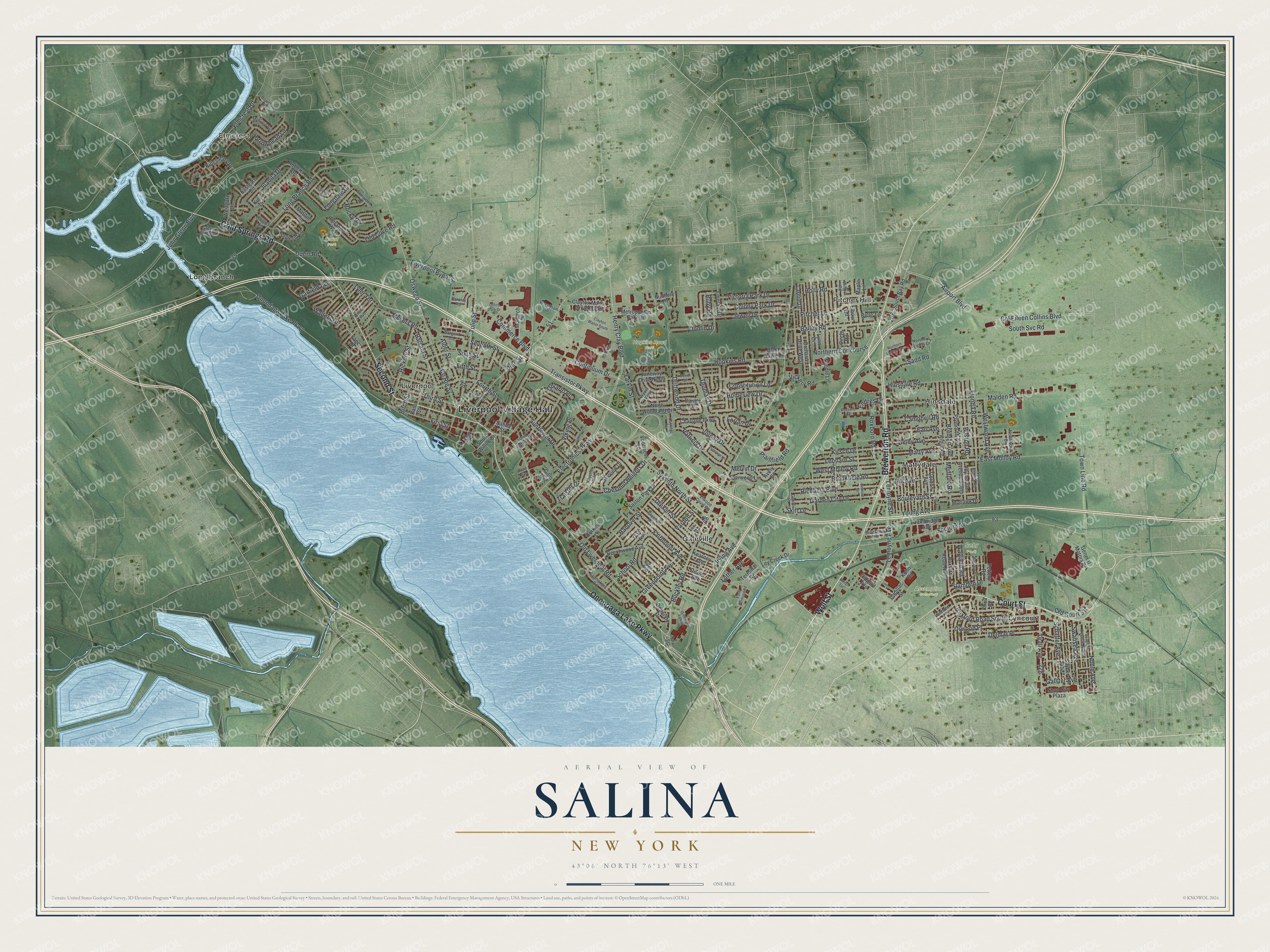
A new map of Salina, New York, made in 2026 and printed to order on thick archival matte paper.
12" x 18" Archival Matte Print
A Map of Home. A Work of Art.
Bring a piece of Salina home. Whether it’s where you grew up, your current home, or simply a moment in your life, this Salina, New York map print brings those memories to your wall. Antique-inspired styling and modern geographic detail combine to create artwork that’s beautiful from across the room, with plenty to study and explore when you get up close.
Three ways to hang it
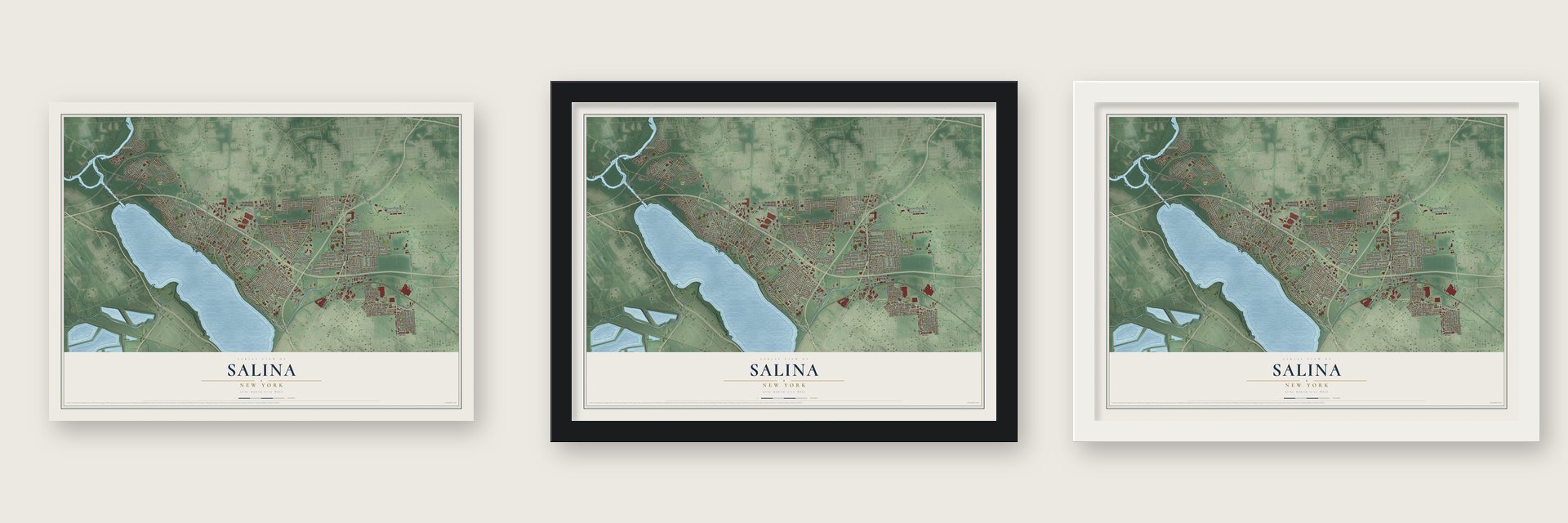
Unframed archival matte, a black wood frame or a white wood frame.
Up close
Real geography. Art worth displaying.
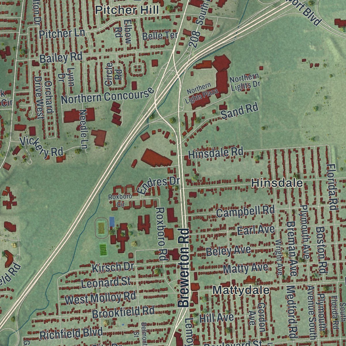
This map was created using accurate cartographic data and authoritative geographic sources, including the U.S. Geological Survey (USGS) and FEMA. The map brings together terrain, waterways, roads, and building detail. The majority of the streets are labeled, houses are accurately depicted, and the topography is derived from government sources. Combining local data with carefully composed color and shading leads to this beautifully detailed Salina artwork for your wall.
Rather than simply showing street outlines, we’ve included as many of the street names as we could reasonably fit on the map while keeping their names legible. Zoom in on the high resolution preview to see exactly what’s on the map. We truly set out to create a statement piece for anyone who loves Salina. So whether it’s for you, or a gift for someone you love, we hope this map of Salina brings back fond memories.
Explore the full map of Salina, New York and read about the local places it shows.

About Salina, New York
Within Onondaga County, New York, Salina is classified as a town. The 2020 census recorded 33,223 residents. Together, those details place Salina within the everyday geography and public life of its part of New York.
- 33,223 residentsThe 2020 census recorded this population for Salina.
- Onondaga CountySalina lies within Onondaga County in New York.
Find your street
Names on the Salina map
Every name below is printed on this map. Look for your street, your school, the park where you played, or the pond down the road.
Places and landmarks13
- Liverpool Village Hall
- Elmcrest
- Assumption Cemetery
- Duerr Park
- Hopkins Road Park
- Sehr Park
- Galeville
- Hinsdale
- Liverpool
- Long Branch
- Lyncourt
- Mattydale
Show all 13 places
- Pitcher Hill
Streets and roads226
- Wolf Street
- Brewerton Road
- Second Street
- Court Street
- Cold Springs Road
- Onondaga Lake Parkway
- Electronics Parkway
- Henry Clay Boulevard
- Old Liverpool Road
- Oswego Street
- Buckley Road
- Continuum Drive
- Sixth Street
- Luther Avenue
- Long Branch Road
- John Glenn Boulevard
- Airport Boulevard
- Col Eileen Collins Boulevard
- Seventh North Street
- Factory Avenue
- Malden Road
- County Route 57
- East Molloy Road
- Vine Street
- Hopkins Road
- Driftwood Drive
- Lemoyne Avenue
- Fourth Street
- Sunflower Drive
- Tulip Street
Show all 226 streets
- Matty Avenue
- Beley Avenue
- Town Line Road
- Jewell Drive
- Orwood Place
- Meyers Road
- Seventh Street
- Transistor Parkway
- Hinsdale Road
- Boulevard Street
- Campbell Road
- Earl Avenue
- Hanover Street
- Balsam Street
- Roxford Road South
- Bailey Road
- First Street
- Teall Avenue
- Richfield Boulevard
- Northern Concourse
- Constitution Lane
- Garden City Drive
- Brookfield Road
- Old Cove Road
- Medford Road
- Elmcrest Road
- Thomas Drive
- Boston Road
- Breman Avenue
- Florida Road
- Hickory Street
- Donlin Drive
- Kirsch Drive
- Patricia Drive
- Delmar Place
- West Molloy Road
- Fairmount Avenue
- Victoria Park Drive
- Chestnut Heights Drive
- Greenpoint Avenue
- Commerce Boulevard
- Colony Park Drive
- Swansea Avenue
- Schaffer Avenue
- Noble Avenue
- Birch Street
- Plainfield Road
- Fifth Street
- Drexler Street
- Lorian Drive
- South Svc Road
- Leonard Street
- Longdale Drive
- Volney Drive
- Westwood Avenue
- Third Street
- Pitcher Lane
- Alder Street
- Juanita Drive
- Roxboro Road
- Walters Drive
- Garfield Avenue
- Homeview Drive
- Sand Road
- Arrowhead Lane
- Melvin Drive
- Lemoyne Street
- Liverpool Bypass
- Duerr Road
- Wayland Road
- Holly Road
- Vickery Road
- Larkin Street
- School Road
- Rocky Road
- Old Court Street
- Irving Avenue
- Hill Avenue
- Young Avenue
- Viking Place
- Galster Avenue
- Hamden Drive
- Skiff Drive
- Traister Drive
- Tyler Terrace
- Ontario Place
- Vardon Street
- Endres Drive
- Ruby Road
- Juneway Drive North
- Elbow Road
- South Bay Road
- Beechwood Avenue
- Plymouth Avenue
- Inglesid Lane
- Kings Park Drive
- Snyder Avenue
- Marlton Circle
- Metropolitan Park Drive
- Gordon Avenue
- Kies Drive
- Saslon Park Drive
- Roxford Road North
- Clayton Manor Drive South
- Cambridge Avenue
- Bass Street
- Gale Avenue
- Eastgate Circle
- Orchard Drive West
- Maple Lane
- Carlton Drive
- Charlane Parkway
- North Woodland Drive
- Circle Road
- Plymouth Avenue South
- Dorando Way
- Shop City Plaza
- General Motors Drive
- Sherwood Lane
- Skyview Drive
- Kearney Avenue
- Pottery Road
- Monarch Drive
- Needle Lane
- Ley Creek Drive
- Avery Drive
- Darien Drive
- Roberta Drive
- Westgate Lane
- Emerald Drive
- Dexter Avenue
- Deborah Drive
- Corkins Lane
- South Willow Street
- Mohawk Drive
- Black Hawk Circle
- Terminal Road
- Cadillac Street
- Voorhies Lane
- Belle Terrace
- Lynn Drive
- Lake Drive
- Sudbury Drive
- Salina Street
- Dippold Avenue
- Kuhn Road
- Yager Drive
- Gillis Avenue
- Knoll Place
- Park Street
- Elwood Davis Road
- Wright Avenue
- Glendale Avenue
- Gaynor Avenue North
- Saltmakers Road
- Ridge Avenue
- Green Acres Drive
- Northern Lights Drive
- Wrentham Drive
- Tomwood Drive
- South Florida Road
- Wilmore Place
- Sargent Lane
- Northwood Drive
- Town Garden Drive
- Willow Road
- Aspen Street
- Wilson Avenue
- Brookline Road
- Bowman Road
- Greeley Circle
- Gould Place
- Barclay Road
- Wyant Way
- Lee Street
- Evelyn Terrace
- Northern Lights Plaza
- Belmont Street
- Chestnut Hill Drive
- Lind Avenue
- Oakridge Terrace
- Greenfield Parkway
- Hopkins Field Drive
- Moccasin Path
- Merrill Drive
- Daniel Drive
- Saltwell Road
- Roxboro Circle
- Clayton Manor South
- Office Park Drive
- Primrose Lane
- Cameco Circle
- Marsden Road
- East Terminal Road
- Radar Drive
- Hiram Avenue
Names are listed as they appear on the printed map. Zoom into the product photos to find them.
The art of mapping a place
How This Map Was Made
Real places. Remarkable detail. Discover the layers that turn geographic data into a map of home.

The view from above
Aerial imagery reveals the character of the land: woodland, open fields, and the patterns of a place.

The shape of the land
Elevation data brings hills, valleys, and subtle changes in the landscape into view.

The details of home
Roads, waterways, and building footprints come together to make the map feel unmistakably local.

Geography becomes art
Considered color, shading, and typography bring the layers together in a map made for your wall.


Process illustrated with Mendon, Massachusetts. Aerial imagery: USDA NAIP. Terrain: USGS 3D Elevation Program. Map details and finished artwork: KNOWOL.
The Details
About This Print
Choose an archival matte print, or a black or white Ayous wood frame. The archival matte print is unframed.
Select your size and finish above to see the matching product image and price.
Materials & Craftsmanship
A contemporary map with the character of a classic atlas, printed on archival matte paper. Optional frames are made from Ayous wood.
Your printed map does not include the watermark shown in the full-map preview.
Shipping & Delivery
Free shipping within the United States. Every print is made to order in the USA.
Buying a gift? Add a note in your cart and we'll include it. We never put prices in the package.
Prints ship within 2 to 3 business days. Allow 7 to 10 days total from ordering for delivery. Timing may vary during holidays or periods of high order volume.
Read our shipping policy.
Returns and damaged prints
Each print is made to order. Change-of-mind refunds are not available after production.
If your print arrives damaged, misprinted or incorrect, contact support@knowol.com within 30 days of receiving it. Include your order number, photos and a description of the issue.
Read our full refund and replacement policy. For questions about your order, email support@knowol.com.
Find your town
Looking for another city?
Find a map of home in our New York collection.
Nearby
Maps of towns near Salina
Know someone from one of these towns? Their map makes a great gift.


