
Search for another town
Free U.S. delivery 7 to 10 days after you order
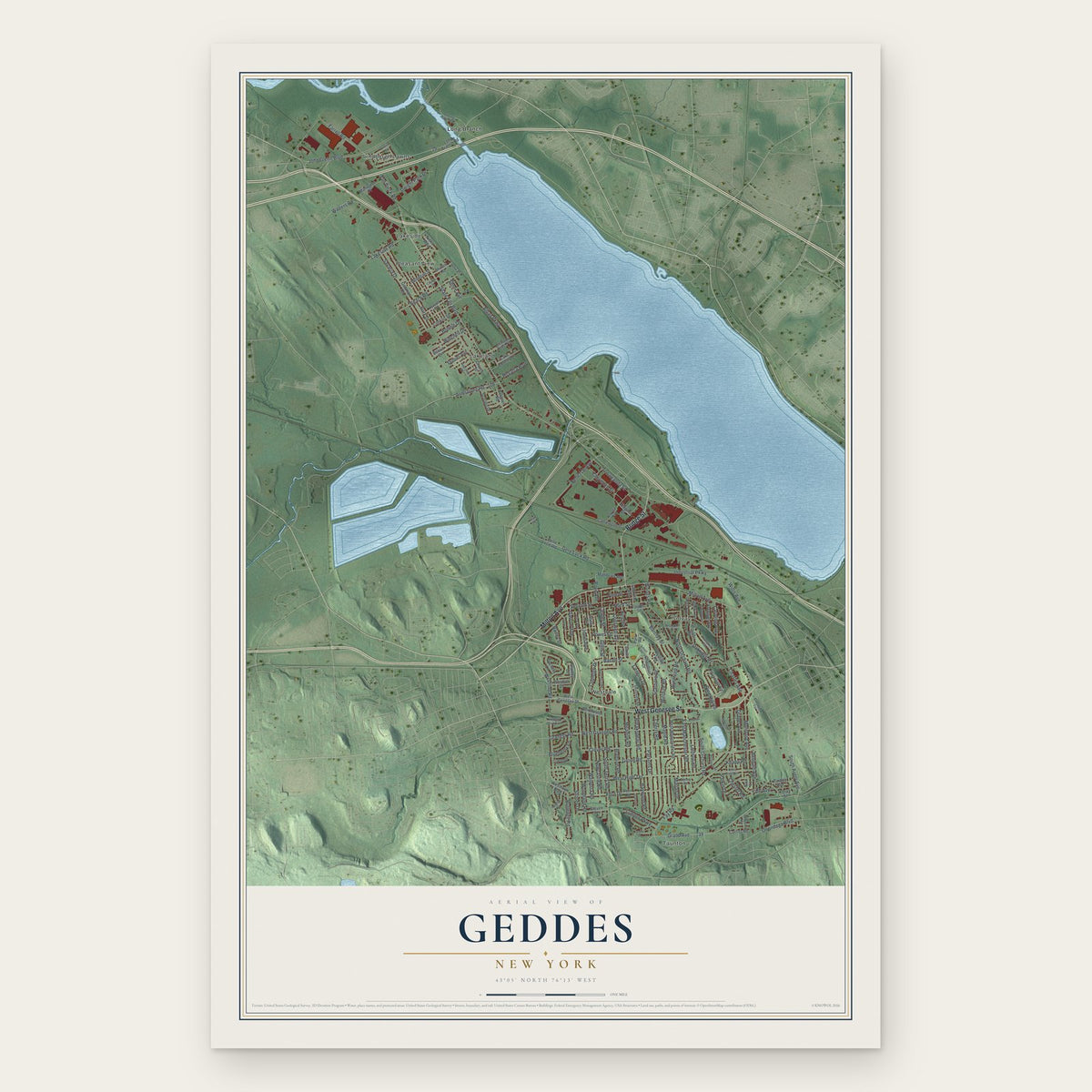
Geddes, New York Map Art
Building by building, with labeled streets and shaded relief.
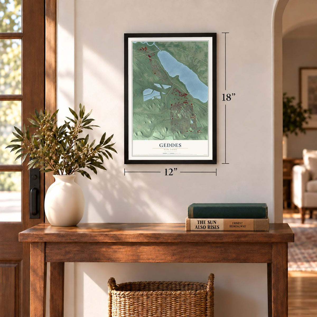
12" x 18" Archival Matte Print
A Map of Home. A Work of Art.
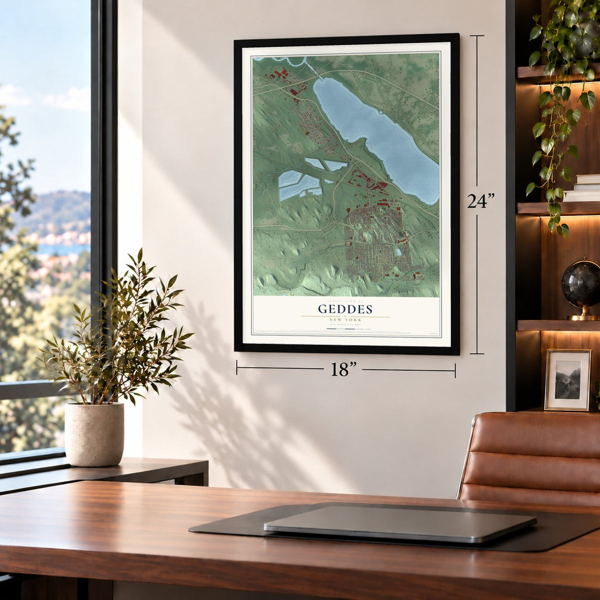
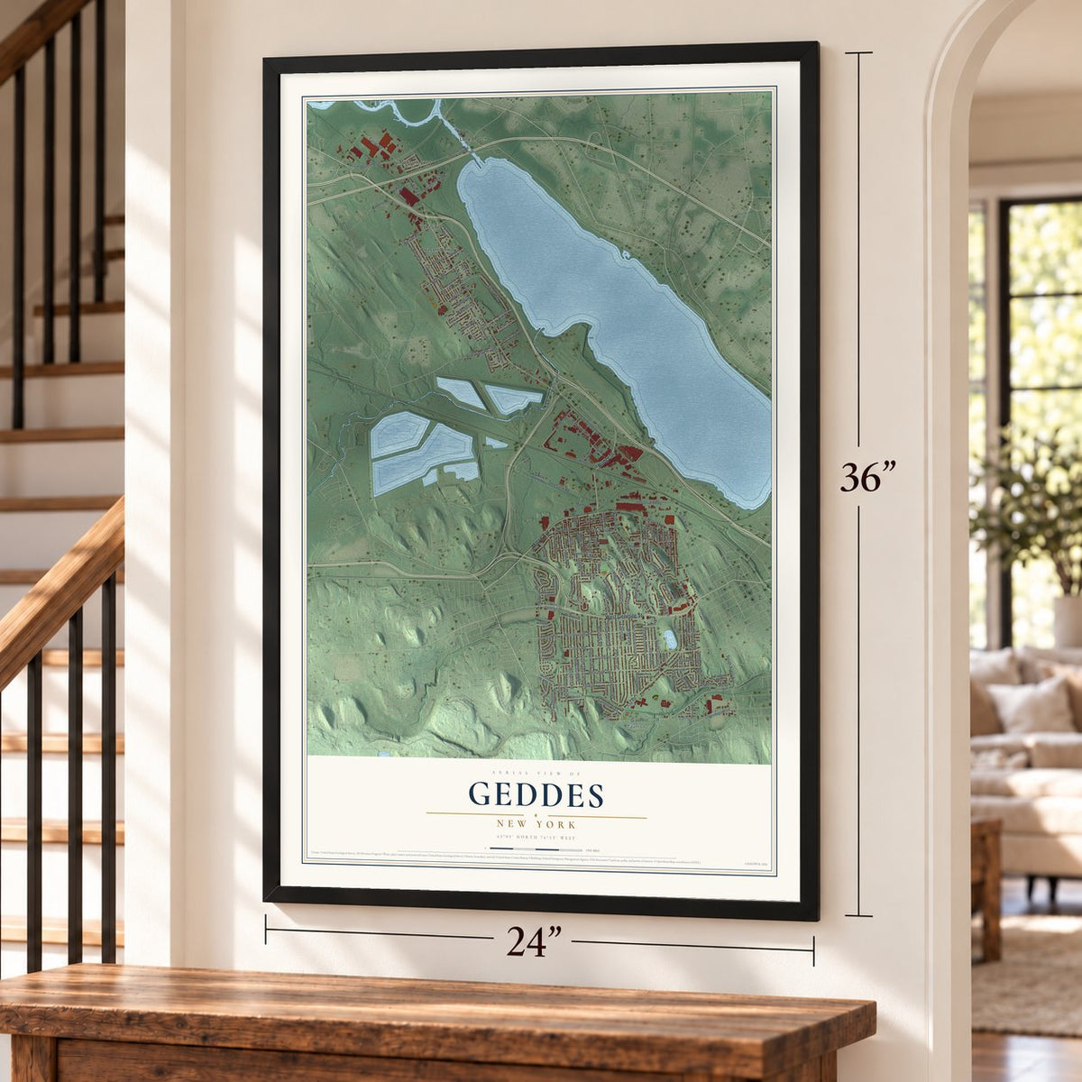
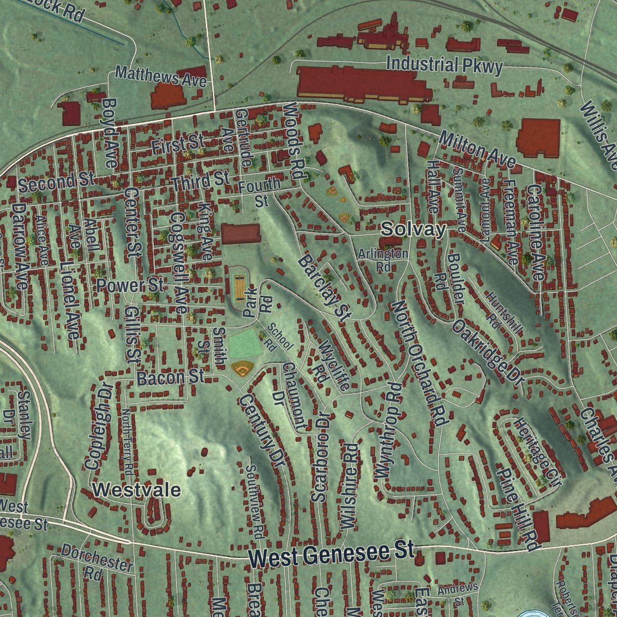
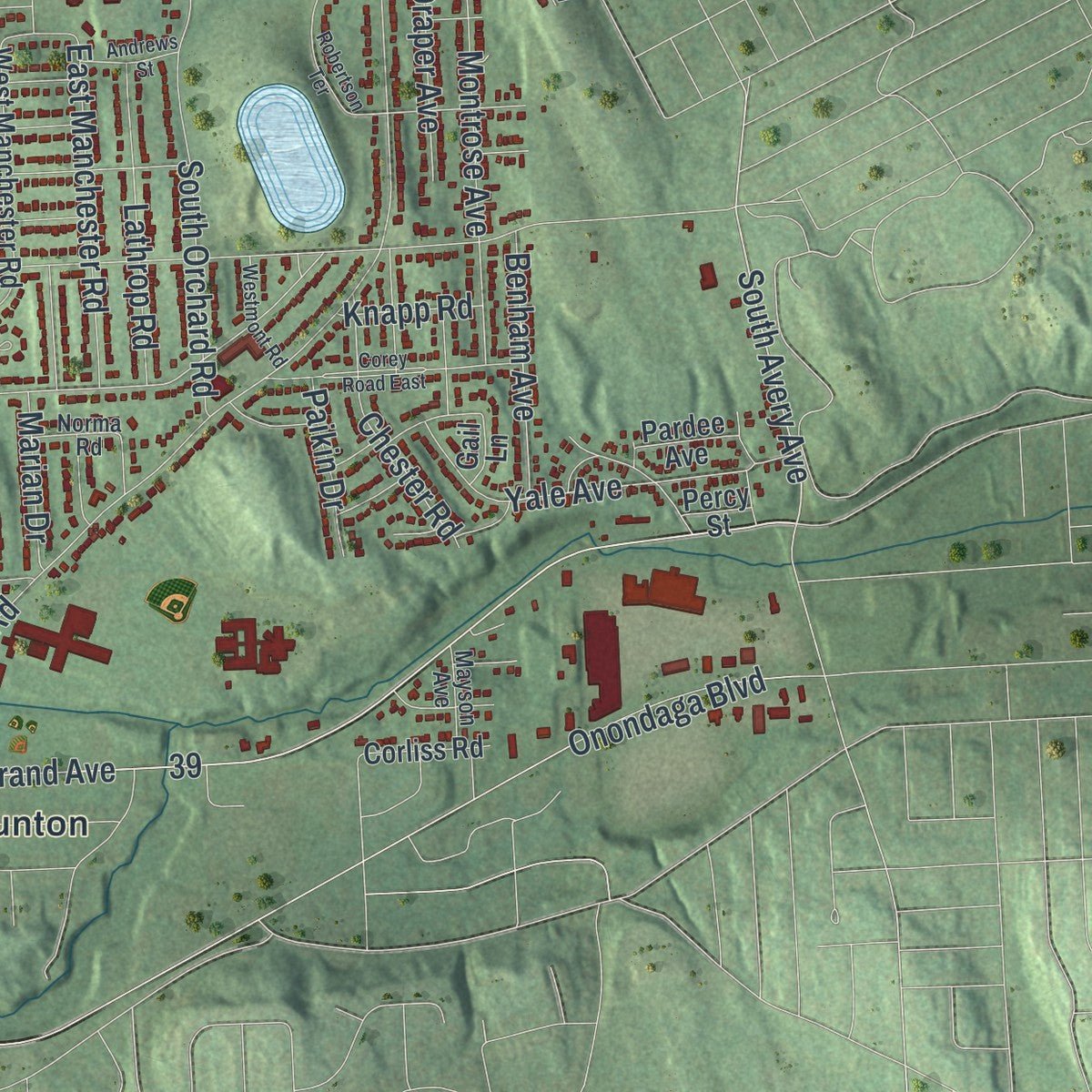
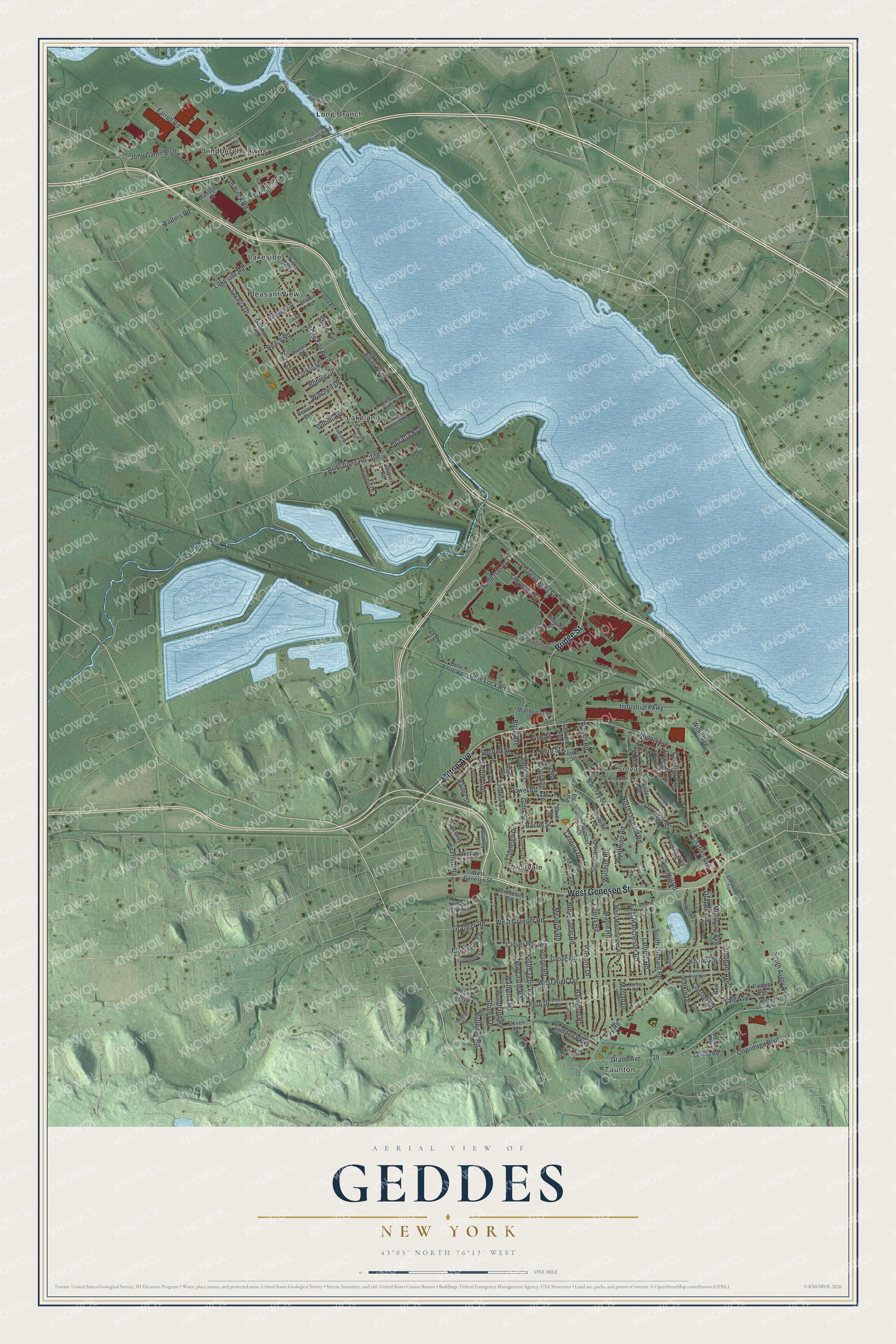
Explore Geddes, New York from a whole new perspective. Created using aerial imagery and detailed geographic data, this map captures Geddes building by building, with labeled streets, familiar landmarks, and shaded topographical relief that highlights the natural contours of the landscape.
Combining modern data with the timeless character of a vintage atlas, this map is just as interesting up close as it is beautiful on the wall. Whether you grew up in Geddes, spent memorable years there, or call it home today, this unique map is a great way to celebrate a place that means something to you. Zoom in on the preview to look for your street, and then order a print to put your memories on the wall.
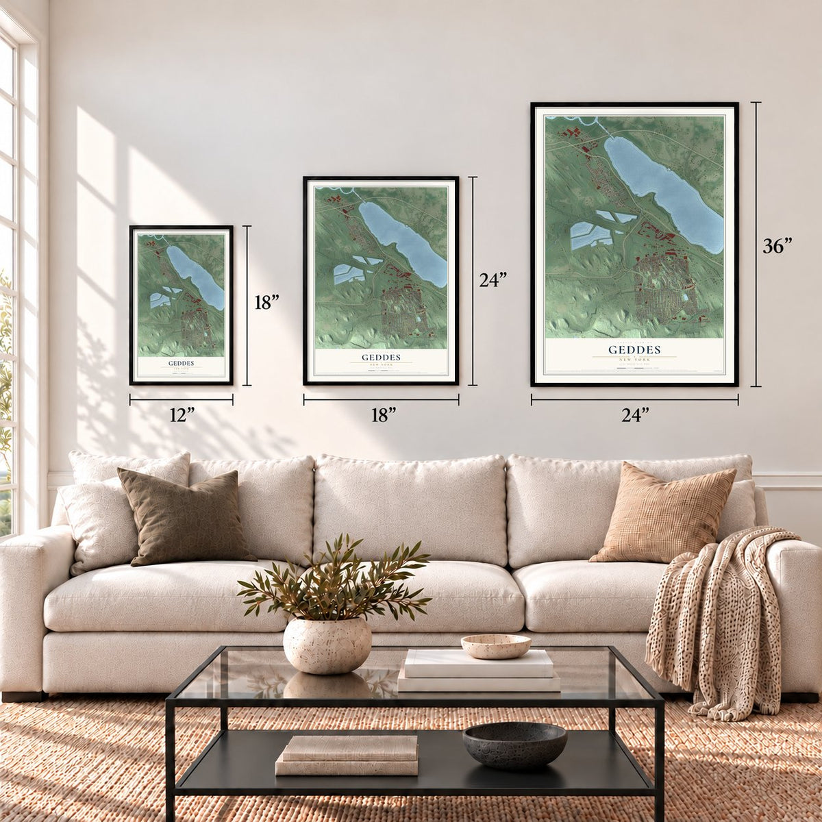
Three ways to hang it
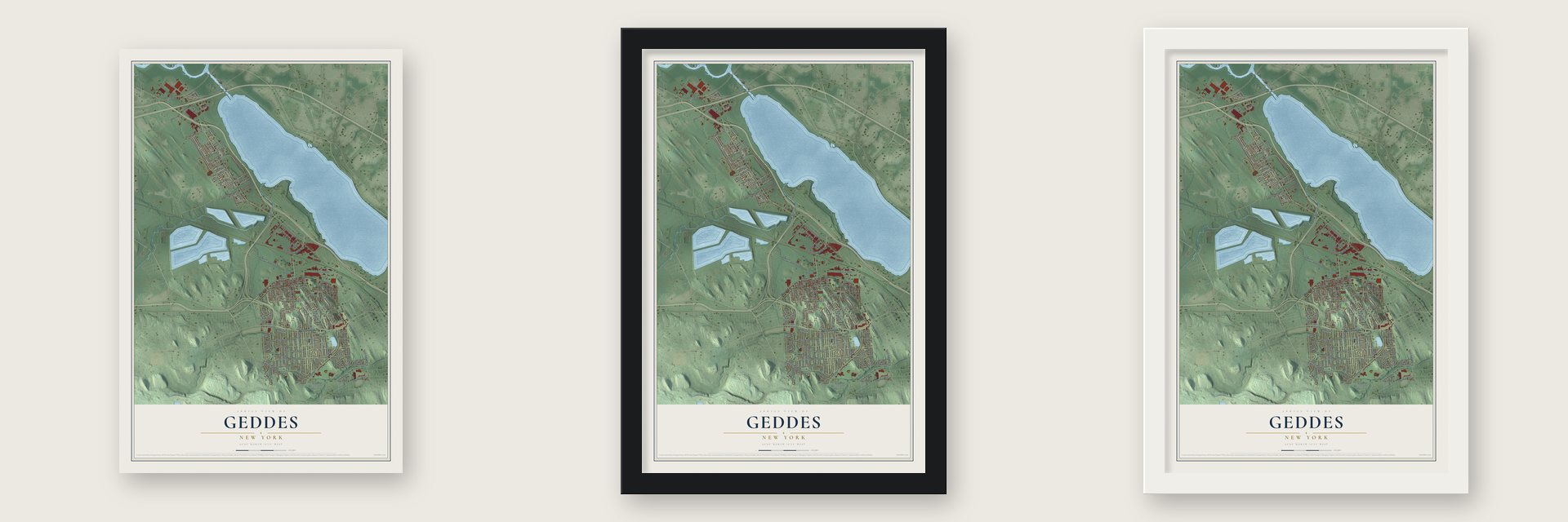
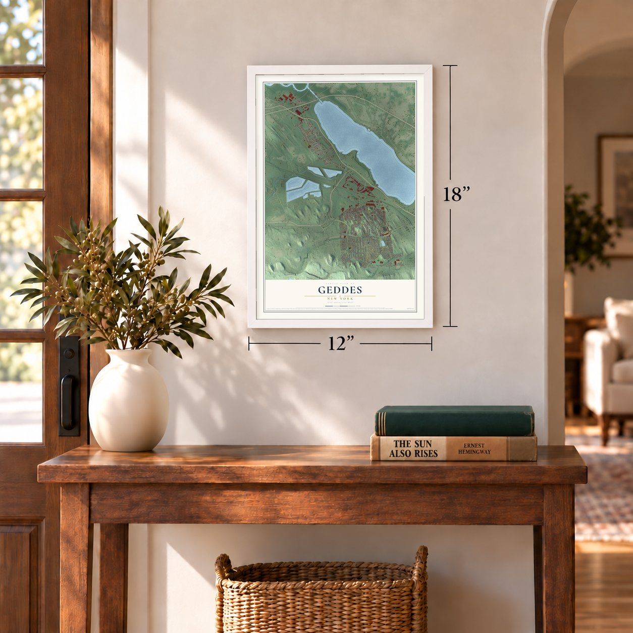
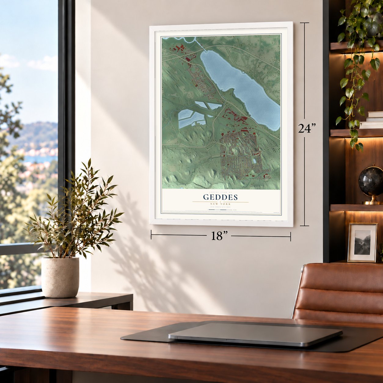
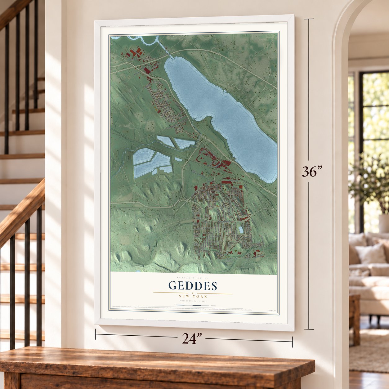
Unframed archival matte, a black wood frame or a white wood frame.
Up close
Geography Worth Displaying
This map was created using accurate cartographic data and authoritative geographic sources, including the U.S. Geological Survey (USGS) and FEMA. The map brings together terrain, waterways, roads, and building detail. The majority of the streets are labeled, houses are accurately depicted, and the topography is derived from government sources. Combining local data with carefully composed color and shading leads to this beautifully detailed Geddes artwork for your wall.
Rather than simply showing street outlines, we’ve included as many of the street names as we could reasonably fit on the map while keeping their names legible. Zoom in on the high resolution preview to see exactly what’s on the map. We truly set out to create a statement piece for anyone who loves Geddes. So whether it’s for you, or a gift for someone you love, we hope this map of Geddes brings back fond memories.
Explore the full map of Geddes, New York and read about the local places it shows.
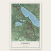
Find your street
Names on the Geddes map
Every name below is printed on this map. Look for your street, your school, the park where you played, or the pond down the road.
Places and landmarks8
- Lakeland
- Lakeside
- Lindbergh Lawns
- Long Branch
- Pleasant View
- Solvay
- Taunton
- Westvale
Streets and roads157
- Milton Avenue
- West Genesee Street
- Bridge Street
- South Avery Avenue
- Belle Isle Avenue
- Gere Lock Road
- State Fair Boulevard
- Stoney Drive
- John Glenn Boulevard
- Parsons Drive
- West High Terrace
- Fay Road
- Grand Avenue
- South Terry Road
- North Orchard Road
- Third Street
- Cherry Road
- Woods Road
- Charles Avenue
- Walberta Road
- Farrell Road
- Fern Drive
- Bronson Road
- Clover Road
- Industrial Parkway
- Meadow Road
- Newcastle Road
- Alhan Parkway
- Second Street
- West Granger Road
Show all 157 streets
- Van Vleck Road
- Beach Road
- Barclay Street
- Scarboro Drive
- Cogswell Avenue
- Grove Road
- Tonawanda Street
- Montrose Avenue
- South Orchard Road
- Wynthrop Road
- Blueberry Lane
- Yale Avenue
- Breakspear Road
- East Manchester Road
- Woodland Road
- Lionel Avenue
- Century Drive
- Lakeside Road
- Armstrong Road
- Lathrop Road
- Winchell Drive
- Cheyenne Street
- Willis Avenue
- Marian Drive
- Dwight Park Drive
- First Street
- Ludden Parkway
- Maple Road
- Chester Road
- Center Street
- Wilshire Road
- Darrow Avenue
- Haywood Road
- Oakridge Drive
- Bury Drive
- Rutledge Road
- Caroline Avenue
- Benham Avenue
- Onondaga Boulevard
- Power Street
- Bonnie Drive
- Draper Avenue
- Copleigh Drive
- Regatta Row
- Granger Road
- Savaria Drive
- Bacon Street
- Paikin Drive
- Boyd Avenue
- Westlind Road
- Bailey Street
- Gillis Street
- Dubiel Avenue
- Walters Road
- Pine Hill Road
- Knapp Road
- Shore Avenue
- Niagara Street
- Iona Place
- Long Branch Road
- West Manchester Road
- Belle Isle Road
- Cattaragus Street
- Mohegan Street
- Heritage Circle
- Boulder Road
- Abell Avenue
- Conklin Street
- Church Street
- Fourth Street
- Park Road
- Wycliffe Road
- Freeman Avenue
- Benoit Drive
- Fern Road
- Steven Terrace
- Gertrude Avenue
- Matthews Avenue
- Managers Place
- King Avenue
- Gettman Road
- Hall Avenue
- Scorpio Drive
- Lake Country Drive
- Chaumont Drive
- Bergner Road
- Dorchester Road
- Westholm Boulevard
- Duchess Lane
- Westfall Drive
- Stanley Drive
- Sharon Road
- Corliss Road
- Pardee Avenue
- Nicks Way
- Smith Street
- Gail Lane
- Percy Street
- Alice Avenue
- Huntshill Road
- Pleasant Beach Road
- Crabapple Lane
- Southview Road
- Osceola Road
- Lamont Avenue
- Norma Road
- Cayuga Avenue
- Kimberly Drive East
- Summit Avenue
- Crestview Terrace
- Mayson Avenue
- Halcomb Street
- Arlington Road
- Corey Road East
- North Terry Road
- Case Street
- Onondaga Lake Parkway
- Robertson Terrace
- Bennett Avenue
- Calumet Drive
- Westmont Road
- School Road
- Andrews Street
- Harriet Street
- Cayuga Street
- Lormik Lane
- Horan Road
Names are listed as they appear on the printed map. Zoom into the product photos to find them.
About Geddes, New York
Geddes is a town of 17,088 people in Onondaga County, on the western shore of Onondaga Lake just west of Syracuse. It was carved out of the Town of Salina on March 18, 1848, which makes it the youngest town in the county. It carries the name of James Geddes, who settled at the head of the lake in 1794 and helped build the local salt industry.
Salt drove the town's early growth. By 1859 a cluster of salt wells stood near the lake's southwest corner, and the town also had stone quarries, a brewery, a distillery and a railroad coal depot on the Erie Canal, all for a population of 950. By 1878 firms such as the Geddes Coarse Salt Company and the Turk's Island Coarse Salt Company worked here. In 1879 J. J. Belden ran both the Onondaga Iron Works and the Sterling Iron Ore Company in town.
- Where Syracuse China beganW. H. Farrar, newly arrived from Vermont, opened a small pottery in Geddes in 1841 and sold it in 1868. On July 20, 1871, a group of local businessmen bought the struggling shop, backed it with $50,000 and widened its lines to dishes for the table and the washstand. They renamed it the Onondaga Pottery Company, and in 1966 it officially became Syracuse China, known for fine china and commercial ware.
- Old Geddes villageA separate village of Geddes, incorporated in 1832 and 1837, took in part of today's west side of Syracuse and Tipperary Hill, with its square near St. Mark's Circle. On May 20, 1886, Syracuse annexed it, along with nearly 7,000 residents. The town kept its other communities, and today it still holds the Village of Solvay and the hamlets of Westvale and Lakeland.
- A state asylum on the hillThe New York State Asylum for Idiots was built of brick on Wilbur Avenue, at the edge of Tipperary Hill, on the eastern side of Geddes near Syracuse. Its grounds spread over about sixty-five acres of high land beside Burnet Park, looking out over the city and the lake. The main buildings grew up around the original one and housed about 450 people.
Keep exploring New York
Geddes is one of 2,165 New York towns we've mapped. Every dot on the map is a print of its own.
The search covers every state, New York first.
Near Geddes
Order 2 or more town maps and save 10%. Shown in the size and finish you picked above, so they hang as a set.
- Lakeland 12" x 18" / Archival Matte Print $39.99
- Solvay 12" x 18" / Archival Matte Print $39.99
- Galeville 12" x 18" / Archival Matte Print $39.99
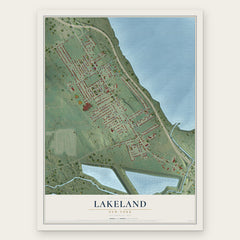
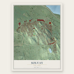
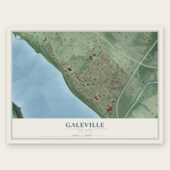
More maps nearby: Liverpool, Westvale, Fairmount, Salina and Washington Square.
The art of mapping a place
How This Map Was Made
Real places. Remarkable detail. Discover the layers that turn geographic data into a map of home.

The view from above
Aerial imagery reveals the character of the land: woodland, open fields, and the patterns of a place.

The shape of the land
Elevation data brings hills, valleys, and subtle changes in the landscape into view.

The details of home
Roads, waterways, and building footprints come together to make the map feel unmistakably local.

Geography becomes art
Considered color, shading, and typography bring the layers together in a map made for your wall.


Process illustrated with Mendon, Massachusetts. Aerial imagery: USDA NAIP. Terrain: USGS 3D Elevation Program. Map details and finished artwork: KNOWOL.
The Details
About This Print
Choose an archival matte print, or a black or white Ayous wood frame. The archival matte print is unframed.
Select your size and finish above to see the matching product image and price.
Materials & Craftsmanship
A contemporary map with the character of a classic atlas, printed on archival matte paper. Optional frames are made from Ayous wood.
Your printed map does not include the watermark shown in the full-map preview.
Shipping & Delivery
Free shipping within the United States. Every print is made to order in the USA.
Buying a gift? Add a note in your cart and we'll include it. We never put prices in the package.
Prints ship within 2 to 3 business days. Allow 7 to 10 days total from ordering for delivery. Timing may vary during holidays or periods of high order volume.
Read our shipping policy.
Returns and damaged prints
Each print is made to order. Change-of-mind refunds are not available after production.
If your print arrives damaged, misprinted or incorrect, contact support@knowol.com within 30 days of receiving it. Include your order number, photos and a description of the issue.
Read our full refund and replacement policy. For questions about your order, email support@knowol.com.