
Search for another town

Free U.S. delivery 7 to 10 days after you order
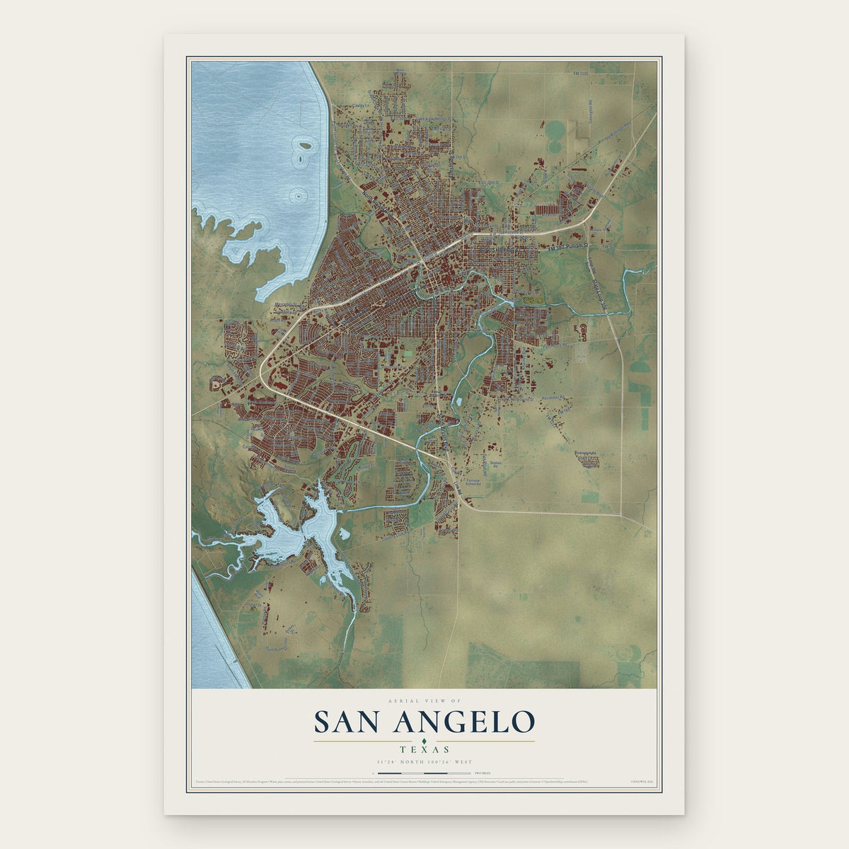
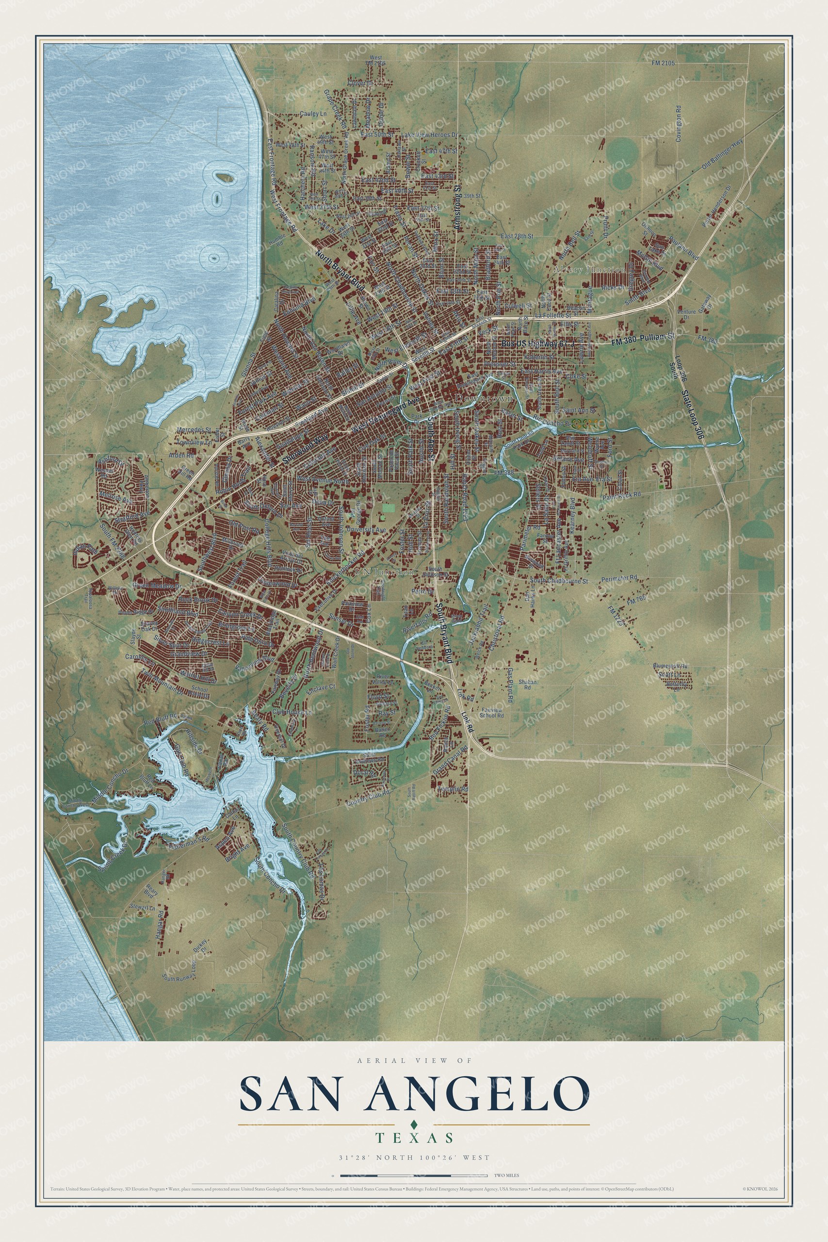
San Angelo, Texas Map Art
Building by building, with labeled streets and shaded relief.
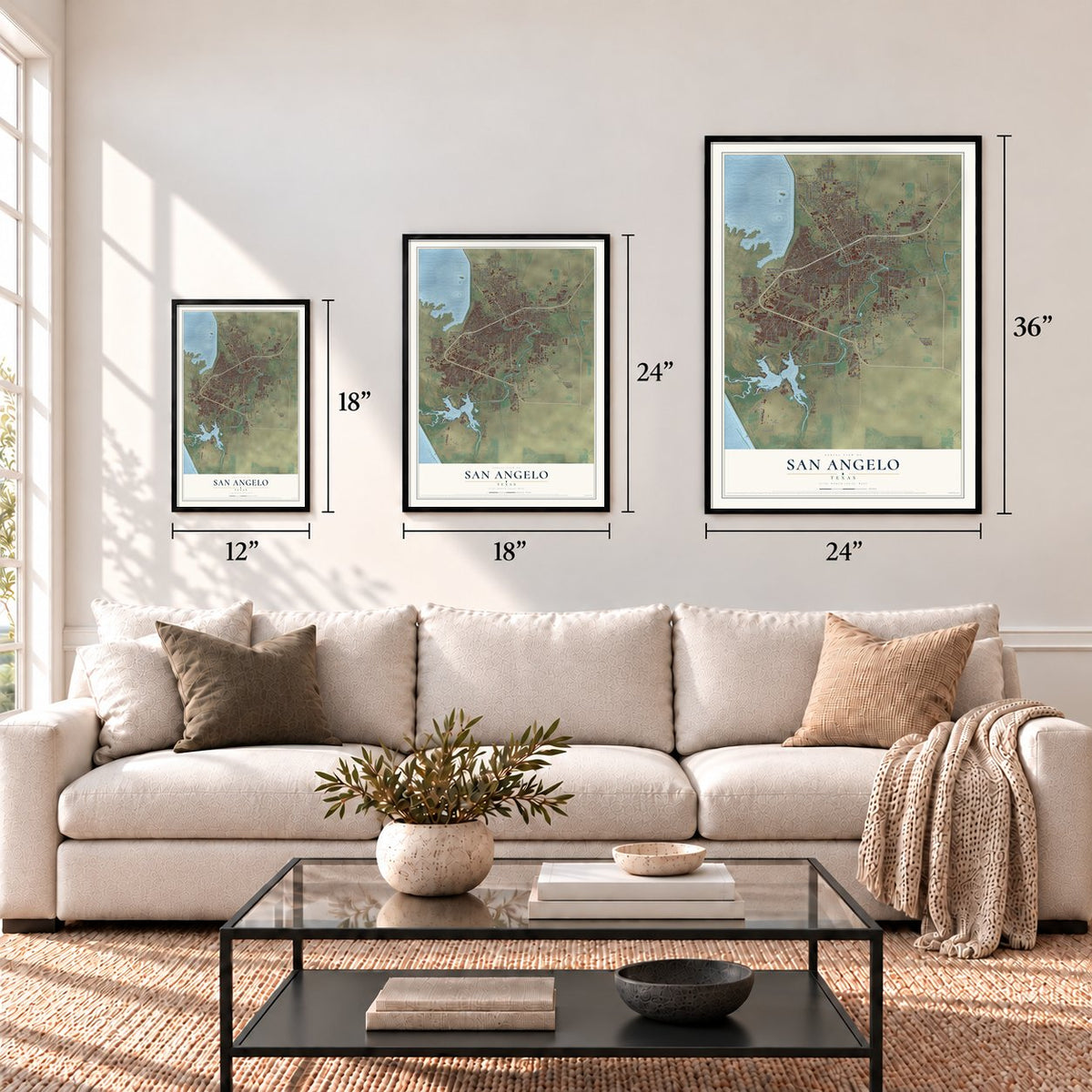
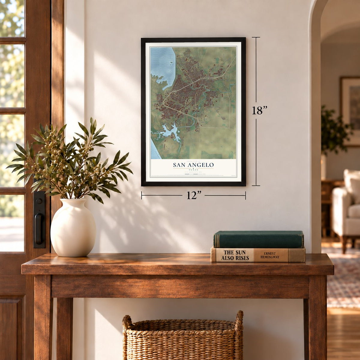
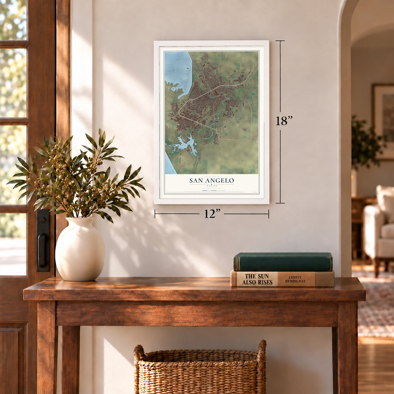
12" x 18" Archival Matte Print
A Map of Home. A Work of Art.
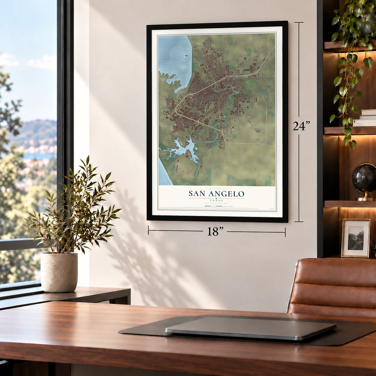
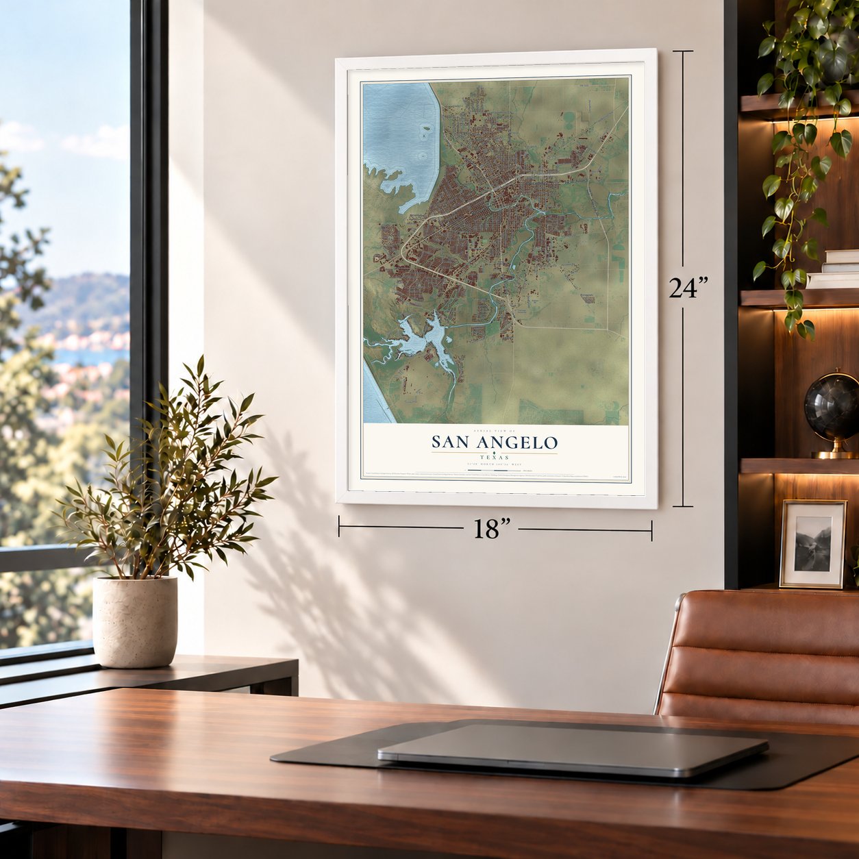
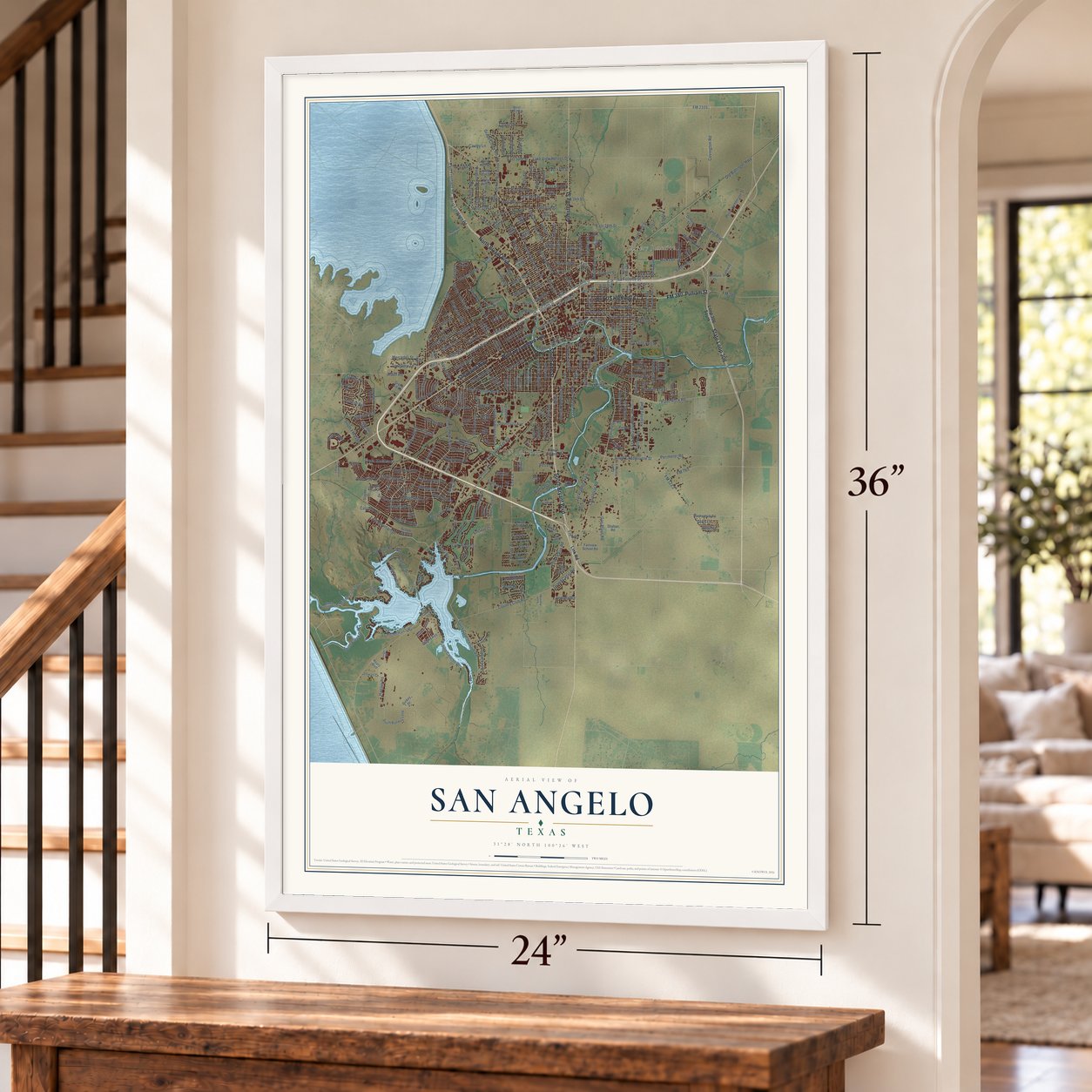
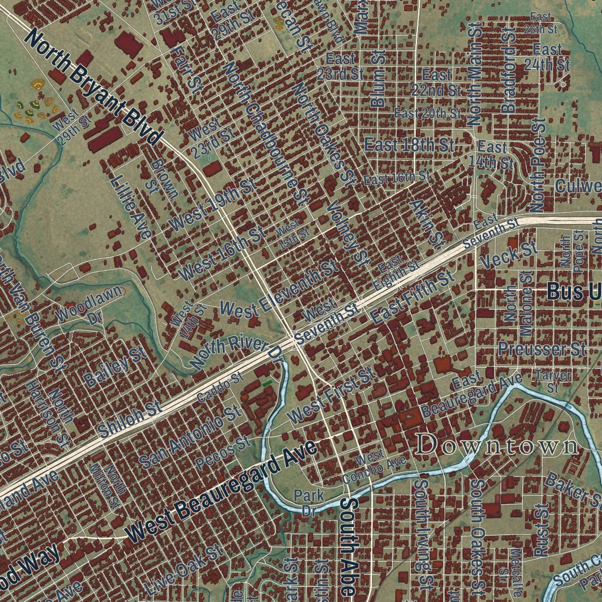
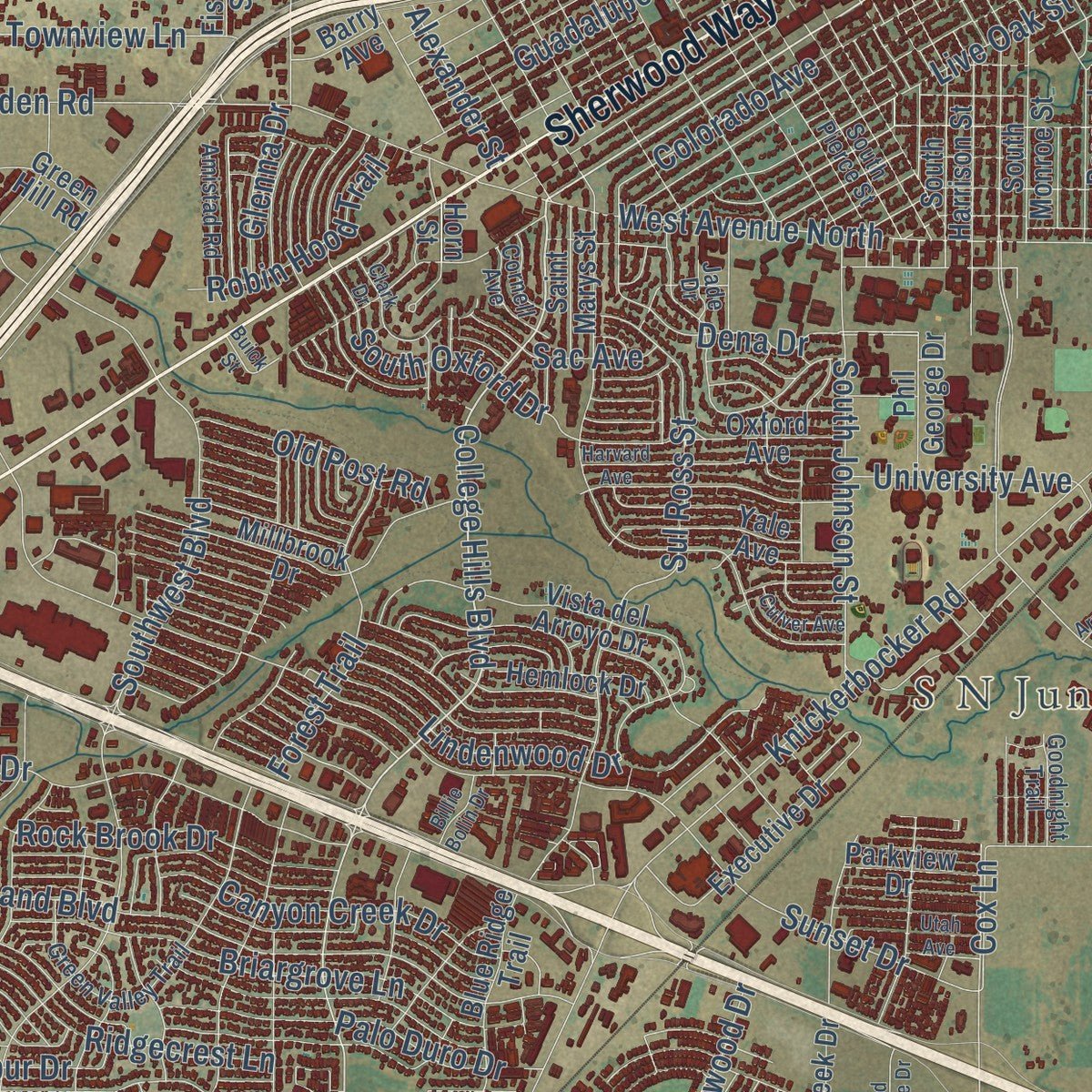
Explore San Angelo, Texas from a whole new perspective. Created using aerial imagery and detailed geographic data, this map captures San Angelo building by building, with labeled streets, familiar landmarks, and shaded topographical relief that highlights the natural contours of the landscape.
Combining modern data with the timeless character of a vintage atlas, this map is just as interesting up close as it is beautiful on the wall. Whether you grew up in San Angelo, spent memorable years there, or call it home today, this unique map is a great way to celebrate a place that means something to you. Zoom in on the preview to look for your street, and then order a print to put your memories on the wall.
Three ways to hang it
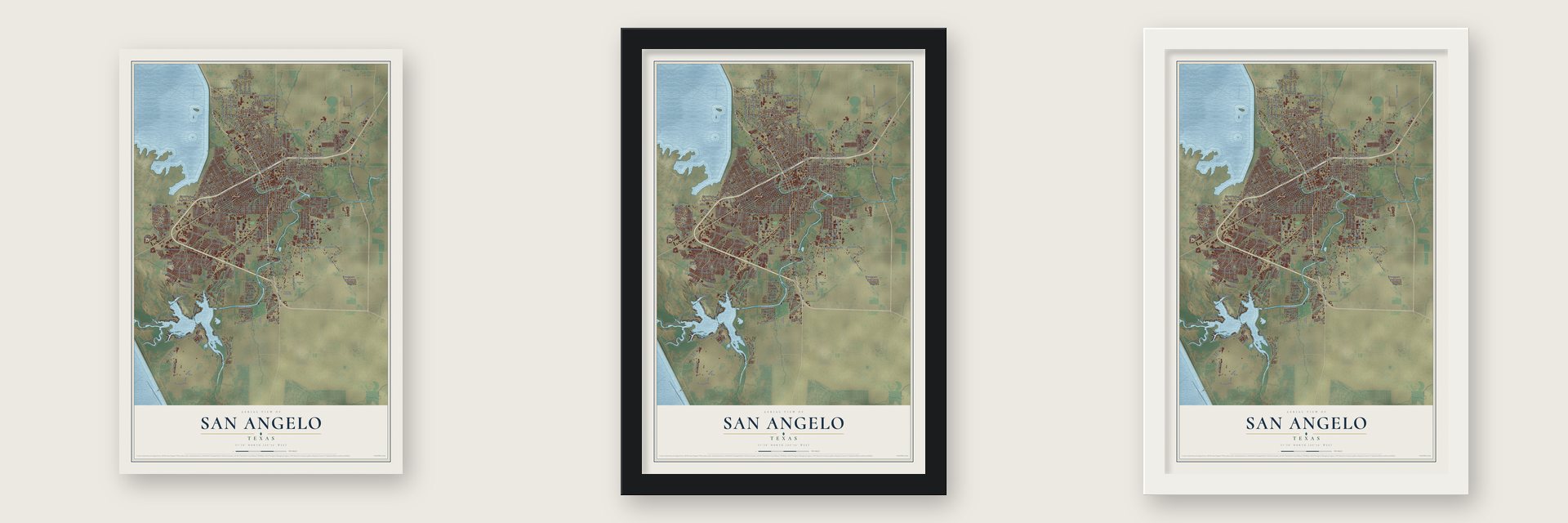
Unframed archival matte, a black wood frame or a white wood frame.
Up close
Geography Worth Displaying
This map was created using accurate cartographic data and authoritative geographic sources, including the U.S. Geological Survey and the Census Bureau. The map brings together terrain, waterways, roads, and building detail. The majority of the streets are labeled, houses are accurately depicted, and the topography is derived from government sources. Combining local data with carefully composed color and shading leads to this beautifully detailed San Angelo artwork for your wall.
Rather than simply showing street outlines, we’ve included as many of the street names as we could reasonably fit on the map while keeping their names legible. Zoom in on the high resolution preview to see exactly what’s on the map. We truly set out to create a statement piece for anyone who loves San Angelo. So whether it’s for you, or a gift for someone you love, we hope this map of San Angelo brings back fond memories.
Read the story behind this map of San Angelo, Texas from 2026.
Find your street
Names on the San Angelo map
Every name below is printed on this map. Look for your street, your school, the park where you played, or the pond down the road.
Places and landmarks3
- Downtown
- Alvery Junction
- S N Junction
Streets and roads364
- State Loop 306
- West Beauregard Avenue
- North Bryant Boulevard
- Bus US Highway 67-J
- Pulliam Street
- Sherwood Way
- FM 380
- South Bryant Boulevard
- Armstrong Street
- South Abe Street
- North Chadbourne Street
- South Chadbourne Street
- Christoval Road
- FM 1223
- College Hills Boulevard
- La Follette Street
- Ellis Street
- East Fifth Street
- Ranch Road 1223
- South Park Street
- North Main Street
- North Van Buren Street
- East Harris Avenue
- La Cruz Street
- Arden Road
- West 16th Street
- Webster Street
- East 18th Street
- Lillie Avenue
- Ben Ficklin Road
Show all 364 streets
- Grape Creek Road
- Twin Mountain Drive
- West 19th Street
- Knickerbocker Road
- Perimeter Road
- Sunset Drive
- Old Ballinger Highway
- FM 388
- Southwest Boulevard
- Southland Boulevard
- West Avenue North
- Kearney Boulevard
- North Bell Street
- Country Club Road
- North Oakes Street
- South Concho Drive
- East 28th Street
- Preusser Street
- Fisherman's Road
- Guadalupe Street
- North River Drive
- San Antonio Street
- Paint Rock Road
- Lake Drive
- South Irving Street
- Glenna Street
- Foster Road
- South FM 2288
- Red Bluff Road
- Sul Ross Street
- Smith Boulevard
- Rio Concho Drive
- Farr Street
- South Johnson Street
- Koberlin Street
- Valleyview Boulevard
- Pecan Street
- North Howard Street
- Forest Park Avenue
- Bowie Street
- Hangar Road
- Blum Street
- Colorado Avenue
- Ricks Drive
- Covington Road
- Grandview Drive
- East Frontage Road
- North Poe Street
- South Oakes Street
- Green Meadow Drive
- Live Oak Street
- South Bell Street
- Freeland Avenue
- East 50th Street
- South Randolph Street
- Travis Street
- Hillside Drive
- East 40th Street
- Westland Avenue
- Briargrove Lane
- Ashford Drive
- Pruitt Drive
- Jackrabbit Trail
- Junius Street
- East 42nd Street
- Volney Street
- Coleman Street
- Austin Street
- University Avenue
- Dena Drive
- Cox Lane
- Lindenwood Drive
- South Country Club Road
- East 37th Street
- Veck Street
- Gun Club Road
- Marx Street
- East 43rd Street
- Beaty Road
- Ft Lancaster Avenue
- Ridgecrest Lane
- Enclave Court
- Palo Duro Drive
- Paulann Boulevard
- Las Lomas Drive
- Parimeter Road
- North Bentwood Drive
- Beverly Drive
- Sellers Street
- Melrose Avenue
- Spring Creek Drive
- Era Avenue
- Era Street
- Gas Plant Road
- Shiloh Street
- Canyon Creek Drive
- Hill Street
- East 47th Street
- Waco Street
- Middle Concho Drive
- Meadow Drive
- Rock Brook Drive
- South Oxford Drive
- Edmund Boulevard
- Forest Trail
- Cauley Lane
- Lake View Heroes Drive
- Coke Street
- Ransom Road
- La Salle Drive
- Hatchery Road
- Woodruff Street
- Stratford Avenue
- McGill Boulevard
- Silver Spur Drive
- Mercedes Street
- West Frontage Road
- Lowrie Avenue
- West Eleventh Street
- West 37th Street
- Alexander Street
- Foster Street
- Oriole Drive
- Club House Lane
- Robin Hood Trail
- Townview Lane
- Old Post Road
- Baker Street
- Belaire Avenue
- Bailey Street
- Gregory Drive
- Bradford Street
- Grand Canal Road
- West First Street
- Walnut Hill Drive
- Clover Drive
- Indian Path
- FM 765
- Templin Road
- Sac Avenue
- Rust Street
- Culwell Street
- Scott Lane
- Saint Ann Street
- Short Street
- Riverfalls Road
- Floyd Street
- FM 2105
- Montague
- Caroline Lane
- Glenna Drive
- Aspen Avenue
- Ray Street
- Bright Avenue
- Link Road
- Ford Street
- Hull Street
- Akin Street
- Doral Road
- Petro Drive
- Loop 306 South
- East Beauregard Avenue
- Horn Street
- South Jackson Street
- Woodlawn Drive
- East 22nd Street
- East 24th Street
- North Harrison Street
- Hunters Glen Road
- North Grape Creek Road
- East 23rd Street
- Vista del Arroyo Drive
- Field Street
- East 39th Street
- Paseo de Vaca Street
- Crockett Street
- South Concho Park Drive
- Ft Griffin Avenue
- Pecos Street
- Parkview Drive
- Executive Drive
- Millbrook Drive
- North Cecil Street
- South Runway Loop
- South Monroe Street
- Orient Street
- North Baze Street
- East 29th Street
- Houston Street
- Brown Street
- South Harrison Street
- Reary Boulevard
- Amberton Parkway
- Butler Road
- Fairway Drive
- Alamo Street
- Humble Road
- East 14th Street
- Wolf Creek Drive
- Van Zandt Street
- Oxford Avenue
- Park Drive
- Porter Henderson Drive
- Sun Lake Drive
- Blue Ridge Trail
- Beacon Street
- School House Drive
- South Irene Street
- River Valley Lane
- West 48th Street
- Scarlet Oak Drive
- Gateway Drive
- Dickey Drive
- West 44th Street
- North Malone Street
- Howe Street
- West Seventh Street
- Overhill Drive
- Weston Road
- West 23rd Street
- Pinon Ridge Drive
- Fairview School Road
- Yale Avenue
- East 32nd Street
- Green Hill Road
- Farrow Street
- Blumentritt Road
- Saint Andrews Road
- Hemlock Drive
- West 34th Street
- Wynne Avenue
- Red Bluff Lane
- Catalina Drive
- Lawndale Drive
- Saint Marys Street
- West 49th Street
- West 47th Street
- Dan Hanks Lane
- Phil George Drive
- Shahan Road
- Norwood Drive
- Truman Street
- Stewart Lane
- Butterfly Lane
- Cloud Street
- Venture Drive
- Fulton Street
- Becker Lane
- 39th Street
- West FM 2105
- Ranch Lane
- Ochoco Street
- Todd Lane
- Barry Avenue
- Fisher Street
- Cattail Lane
- West 31st Street
- Slayde Street
- Canal Road
- Titan Lane
- West Concho Avenue
- East Seventh Street
- East 20th Street
- Lindell Avenue
- Green Valley Trail
- Appaloosa Trail
- Caddo Street
- East 41st Street
- North Pope Street
- West 29th Street
- Oaklawn Street
- South Pierce Street
- West 14th Street
- Maryland Street
- East 16th Street
- Gordon Boulevard
- East Eighth Street
- Metcalfe Street
- Duggan Street
- Cedar Hill Drive
- Middle Concho West
- Barbara Street
- Amistad Road
- Oaklawn Boulevard
- Tarver Street
- West 36th Street
- Garden Road
- River Bend
- East 35th Street
- Sam Street
- Murphy Street
- North Milton Street
- Goodnight Trail
- Lipan Drive
- West 40th Street
- Cornell Avenue
- Jade Drive
- Welch Road
- Gunter Street
- Willeke Drive
- Cll Sendera
- Hanger Road
- Palms Court
- Cove Road
- Juanita Avenue
- North Archer Street
- North Montague Avenue
- East 26th Street
- Raney Street
- Bermuda Drive
- Harvard Avenue
- West 15th Street
- Shadow Creek Drive
- Clark Drive
- Mesquite Lane
- Catalina Drive East
- Fort McKavett Road
- Columbine Lane
- Darlene Street
- Las Lomas Court
- Utah Avenue
- South Buchanan Street
- State Street
- Monterrey Street
- Pinehurst Drive
- Culver Avenue
- Stephen Street
- Sun Valley Lane
- South Ratliff Road
- Old Stone Drive
- West 39th Street
- Arroyo Drive
- Billie Bolin Drive
- Buick Street
Names are listed as they appear on the printed map. Zoom into the product photos to find them.
About San Angelo, Texas
Within Tom Green County, San Angelo is an incorporated city, and the 2020 census counted 99,893 residents. The community was formally founded in 1632.
- Tom Green CountyThis community belongs to Tom Green County.
- 99,893 residentsRecorded by the 2020 census.
- Founded in 1632The community was formally founded in 1632.
Keep exploring Texas
San Angelo is one of 2,049 Texas towns we've mapped. Every dot on the map is a print of its own.
The search covers every state, Texas first.
Near San Angelo
Order 2 or more town maps and save 10%. Shown in the size and finish you picked above, so they hang as a set.
- Wall 12" x 18" / Archival Matte Print $39.99
- Grape Creek 12" x 18" / Archival Matte Print $39.99
- Veribest 12" x 18" / Archival Matte Print $39.99
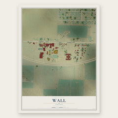
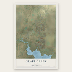

More maps nearby: Carlsbad, Christoval, Miles, Water Valley and Mertzon.
The art of mapping a place
How This Map Was Made
Real places. Remarkable detail. Discover the layers that turn geographic data into a map of home.

The view from above
Aerial imagery reveals the character of the land: woodland, open fields, and the patterns of a place.

The shape of the land
Elevation data brings hills, valleys, and subtle changes in the landscape into view.

The details of home
Roads, waterways, and building footprints come together to make the map feel unmistakably local.

Geography becomes art
Considered color, shading, and typography bring the layers together in a map made for your wall.


Process illustrated with Mendon, Massachusetts. Aerial imagery: USDA NAIP. Terrain: USGS 3D Elevation Program. Map details and finished artwork: KNOWOL.
The Details
About This Print
Choose an archival matte print, or a black or white Ayous wood frame. The archival matte print is unframed.
Select your size and finish above to see the matching product image and price.
Materials & Craftsmanship
A contemporary map with the character of a classic atlas, printed on archival matte paper. Optional frames are made from Ayous wood.
Your printed map does not include the watermark shown in the full-map preview.
Shipping & Delivery
Free shipping within the United States. Every print is made to order in the USA.
Buying a gift? Add a note in your cart and we'll include it. We never put prices in the package.
Prints ship within 2 to 3 business days. Allow 7 to 10 days total from ordering for delivery. Timing may vary during holidays or periods of high order volume.
Read our shipping policy.
Returns and damaged prints
Each print is made to order. Change-of-mind refunds are not available after production.
If your print arrives damaged, misprinted or incorrect, contact support@knowol.com within 30 days of receiving it. Include your order number, photos and a description of the issue.
Read our full refund and replacement policy. For questions about your order, email support@knowol.com.