
Search for another town





Free U.S. delivery 7 to 10 days after you order
Santa Paula, California Map Art
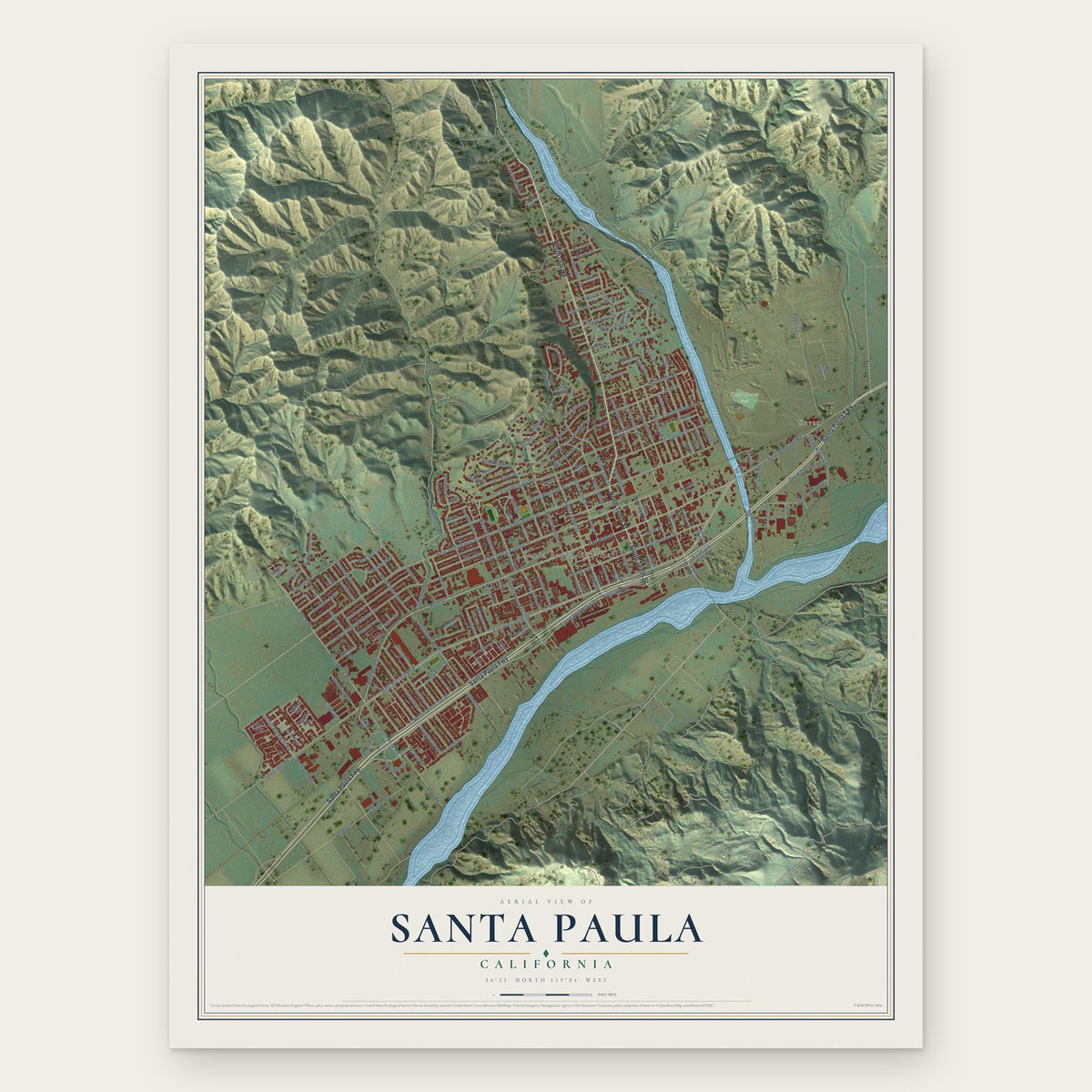
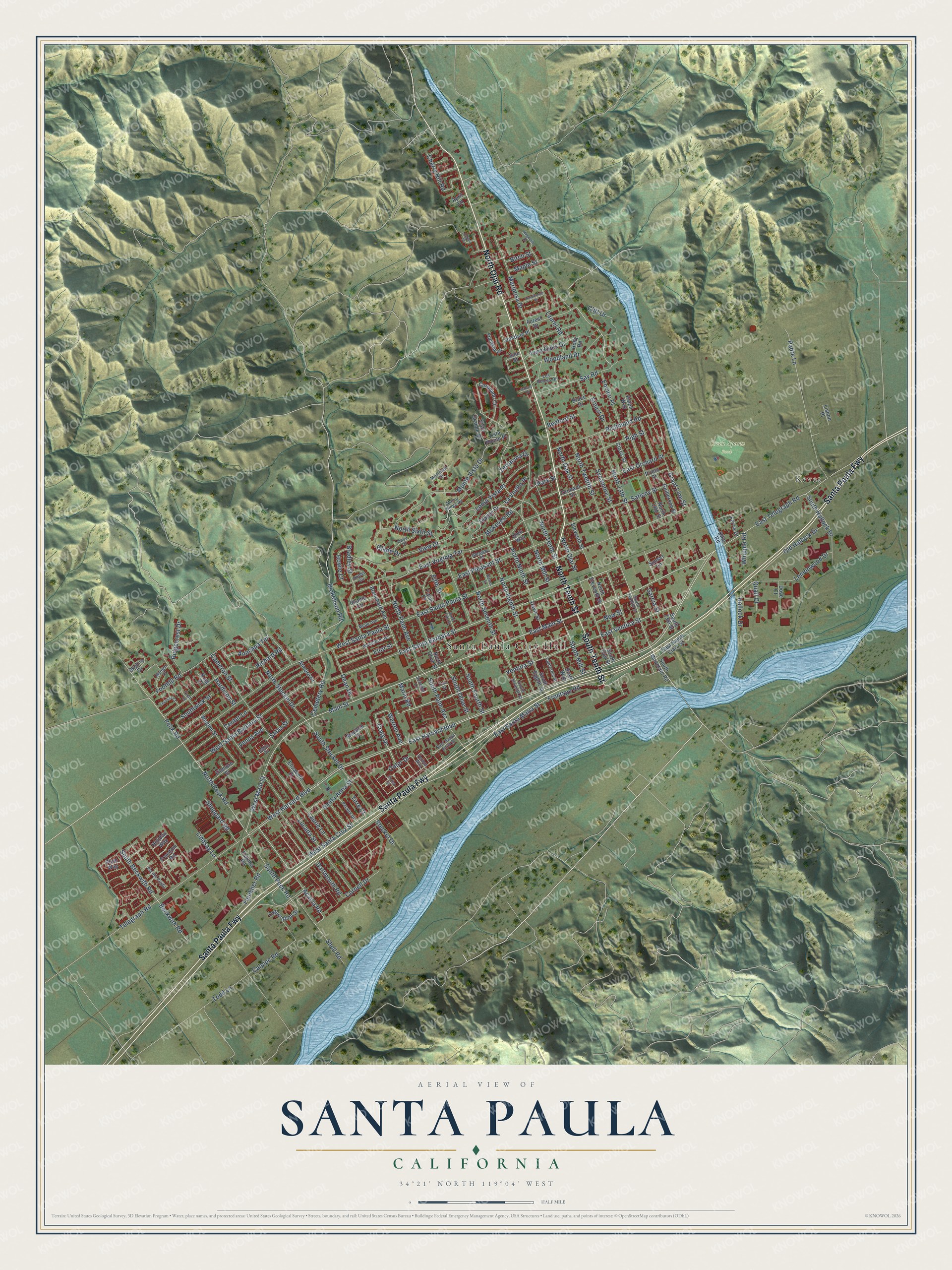
A new map of Santa Paula, California, made in 2026 and printed to order on thick archival matte paper.
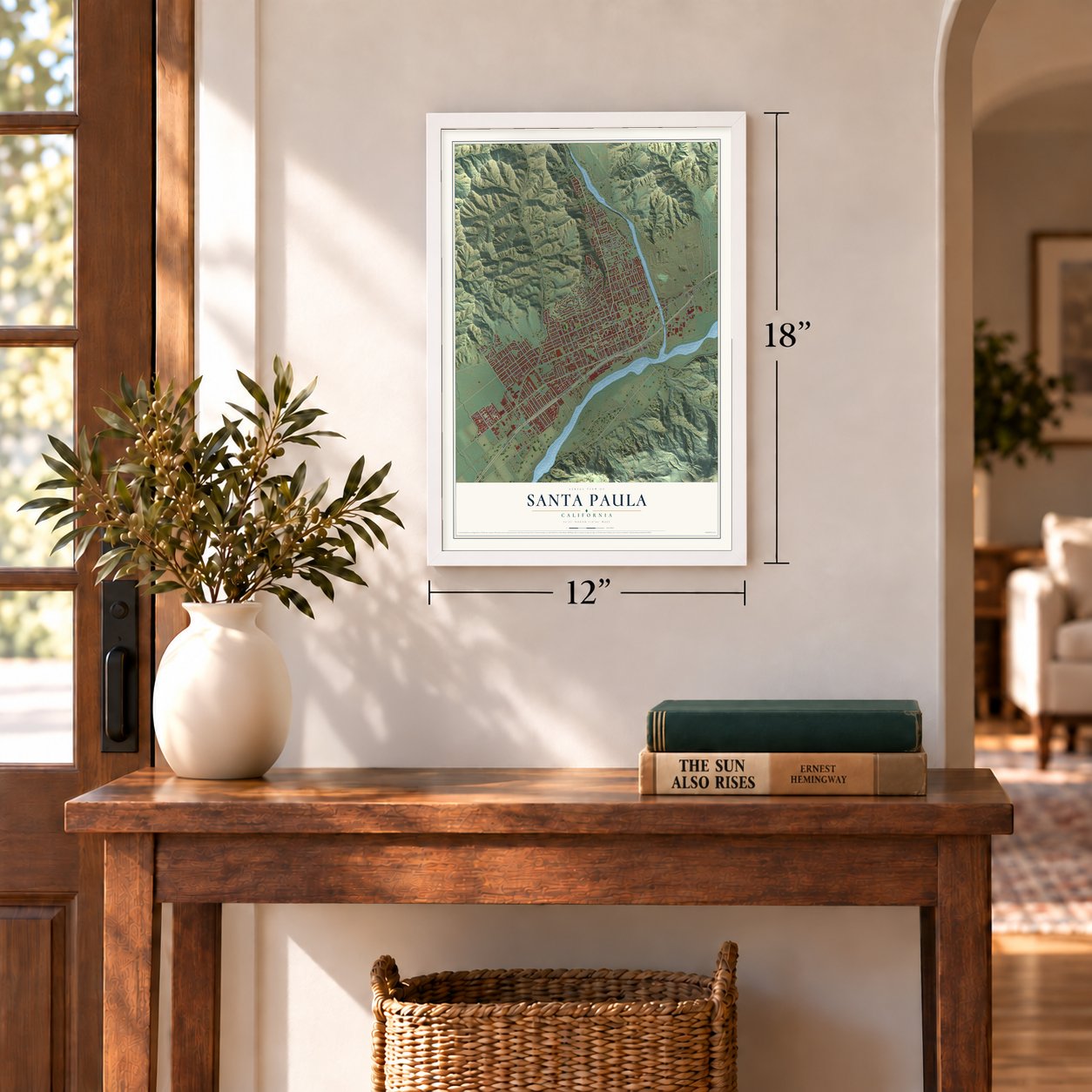
12" x 18" Archival Matte Print
A Map of Home. A Work of Art.
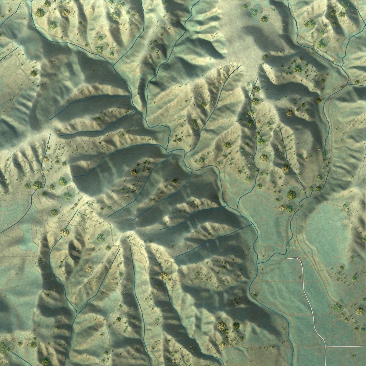
Explore Santa Paula, California from a whole new perspective. Created using aerial imagery and detailed geographic data, this map captures Santa Paula building by building, with labeled streets, familiar landmarks, and shaded topographical relief that highlights the natural contours of the landscape.
Combining modern data with the timeless character of a vintage atlas, this map is just as interesting up close as it is beautiful on the wall. Whether you grew up in Santa Paula, spent memorable years there, or call it home today, this unique map is a great way to celebrate a place that means something to you. Zoom in on the preview to look for your street, and then order a print to put your memories on the wall.
Three ways to hang it
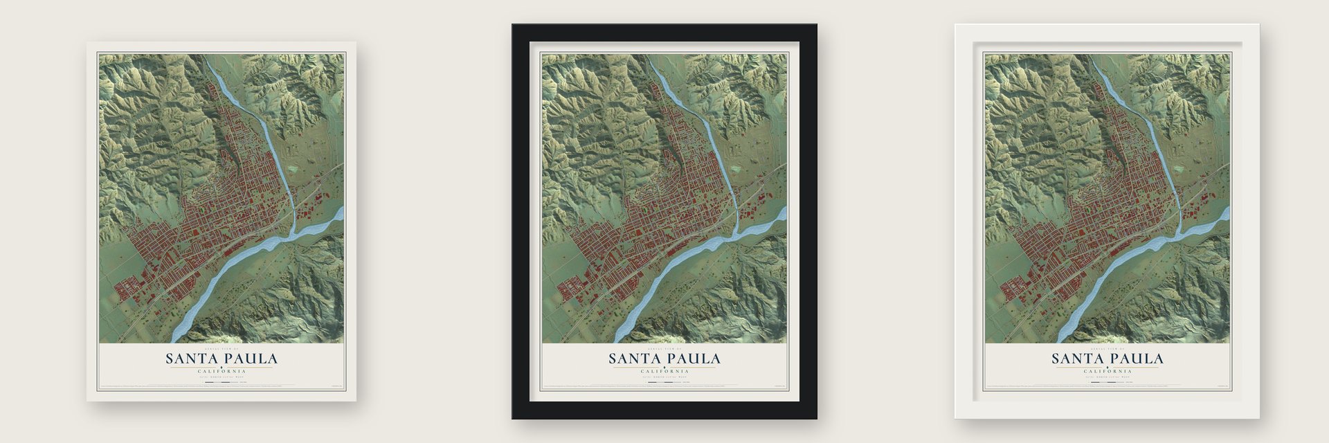
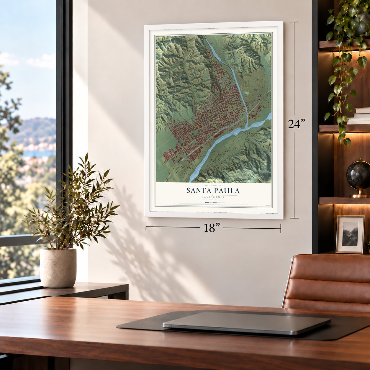
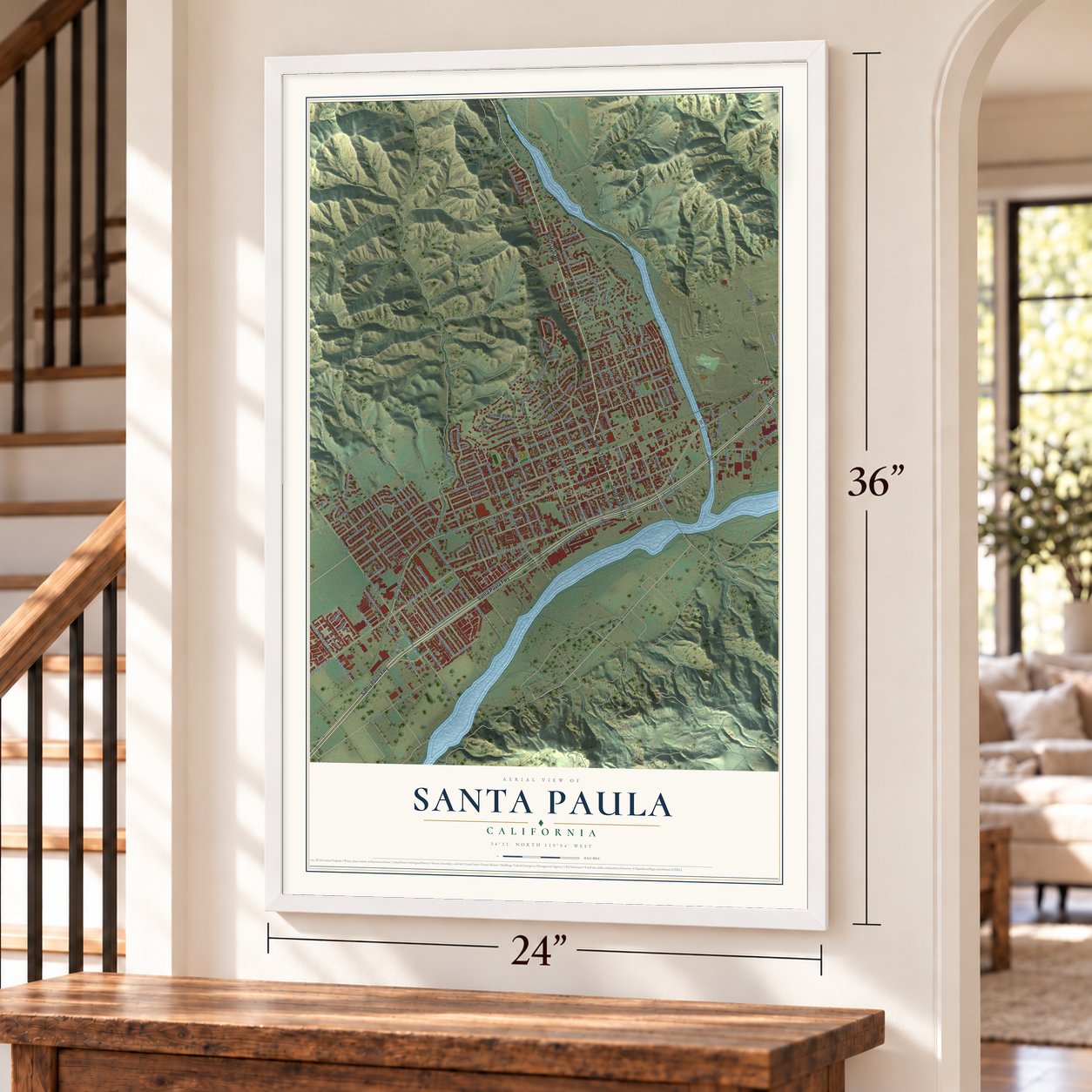
Unframed archival matte, a black wood frame or a white wood frame.
Up close
Geography Worth Displaying
This map was created using accurate cartographic data and authoritative geographic sources, including the U.S. Geological Survey and the Census Bureau. The map brings together terrain, waterways, roads, and building detail. The majority of the streets are labeled, houses are accurately depicted, and the topography is derived from government sources. Combining local data with carefully composed color and shading leads to this beautifully detailed Santa Paula artwork for your wall.
Rather than simply showing street outlines, we’ve included as many of the street names as we could reasonably fit on the map while keeping their names legible. Zoom in on the high resolution preview to see exactly what’s on the map. We truly set out to create a statement piece for anyone who loves Santa Paula. So whether it’s for you, or a gift for someone you love, we hope this map of Santa Paula brings back fond memories.
Read the story behind this map of Santa Paula, California from 2026.

About Santa Paula, California
Santa Paula is a city of 30,657 people in Ventura County, set along the north side of the Santa Clara River. The Chumash lived here before the Spanish came. On August 12, 1769, the Portola expedition camped near a creek, most likely Santa Paula Creek, beside a large native village that Fray Juan Crespi named San Pedro Amoliano. That campsite is now California Historical Landmark No. 727.
Franciscan missionaries from the San Buenaventura Mission later set up an asistencia, and the town took the name of Saint Paula. The land became part of the Rancho Santa Paula y Saticoy grant in 1843. In 1872 Nathan Weston Blanchard bought 2,700 acres and laid out the townsite, and two years later he planted seedling orange trees. Oil found in 1880 set off a boom, and in 1890 Lyman Stewart, Wallace Hardison and Thomas R. Bard joined their small oil firms into the Union Oil Company. Santa Paula became a city in April 1902, with Lewis Arthur Hardison as its first mayor.
- The Watchers of 1928The St. Francis Dam gave way in the night of March 12, 1928. Its reservoir held 12.4 billion gallons, and the water poured down San Francisquito Canyon into the Santa Clara River, reaching Santa Paula at about 3:00 a.m. Hundreds of homes and buildings were lost. Two motorcycle police officers raced through town and woke as many people as they could, which saved lives. A downtown sculpture called "The Watchers" honors them.
- Citrus Capital of the WorldSanta Paula still calls itself the Citrus Capital of the World. Its farms began with oranges and lemons, helped by a mild climate and an estimated 20 feet of topsoil. Avocados later became a major crop, an avocado was added to the city seal, and Calavo Growers, Inc. keeps its headquarters here.
- The SP on South MountainIn December 1922, students from Santa Paula High School carved the letters "SP" into the hillside of South Mountain above the city. The monogram is still seen from around town and from Highway 126.
- Silent films from 1911Gaston Méliès left San Antonio, Texas, in April 1911 and relocated his Star Film Company to Santa Paula, setting up on a site just north of town.
Find your street
Names on the Santa Paula map
Every name below is printed on this map. Look for your street, your school, the park where you played, or the pond down the road.
Places and landmarks3
- Santa Paula City Hall
- Kevet
- Creek Sports Park
Streets and roads189
- North Ojai Road
- Santa Paula Fwy
- South Tenth Street
- North Tenth Street
- East Harvard Boulevard
- West Harvard Boulevard
- East Main Street
- Acacia Road
- Main Street
- West Santa Cruz Street
- East Santa Barbara Street
- East Ventura Street
- Cliff Drive
- Craig Drive
- North Oak Street
- West Main Street
- Ventura Street
- Dickenson Road
- South Peck Road
- Grant Line Street
- East Santa Paula Street
- East Santa Maria Street
- Frontage Road
- West Santa Paula Street
- Telegraph Road
- West Santa Barbara Street
- Peck Road
- North Peck Road
- East Virginia Terrace
- Cemetery Road
Show all 189 streets
- Monte Vista Drive
- East Telegraph Road
- North Twelfth Street
- North Mill Street
- Padre Lane
- Loma Vista Place
- Mariposa Drive
- Laurie Lane
- Richard Road
- North Sixth Street
- Lucada Street
- North 13th Street
- Center Lane
- East Orchard Street
- North Ninth Street
- Bradley Street
- High Street
- Foothill Road
- Outer Drive
- South Steckel Drive
- Saticoy Street
- East Pleasant Street
- Cameron Street
- South Palm Avenue
- Richmond Road
- Beckwith Road
- South Beckwith Road
- North Eighth Street
- Laurel Road
- North Palm Avenue
- Woodland Drive
- Sycamore Street
- Dartmouth Road
- North Seventh Street
- Say Road
- McKevett Road
- View Drive
- North Steckel Drive
- Lemonwood Drive
- Todd Lane
- Calpipe Road
- Fern Oaks Drive
- Shell Road
- South Hallock Drive
- Old Hallock Drive
- South Olive Street
- North Ojai Street
- Cherry Hill Road
- Ridgecrest Drive
- Glade Drive
- Eliot Street
- South Fourth Street
- South Mill Street
- Encino Place
- Dean Drive
- Faulkner Road
- Sheppard Road
- Hardison Street
- Santa Anna Street
- Lindsay Lane
- Howie Court
- Hallock Drive
- Garcia Street
- Park Street
- Anacapa Terrace
- Salas Street
- La Vuelta Place
- Fifth Street
- Marin Road
- Cornell Drive
- Southwick Street
- Terracina Drive
- Warren Avenue
- Ernest Drive
- Bedford Street
- Whipple Road
- Steckel Drive
- Venus Avenue
- Maple Street
- Birch Street
- Quail Court
- New Street
- Tirre Court
- South Mountain Road
- Eleventh Street
- Coronado Circle
- North 14th Street
- Guiberson Street
- Moultrie Place
- Teague Drive
- South Ojai Street
- South Eighth Street
- Palm Court
- North Eleventh Street
- Blanchard Avenue
- Glen Way
- Atmore Drive
- North Olive Street
- Walden Street
- Citrus Street
- Forest Drive
- East Santa Clara Street
- Felkins Road
- Elizabeth Court
- Vista Grande Drive
- Corporation Street
- Fillmore Street
- Orchard Street
- Fuchsia Lane
- South 13th Street
- Davis Street
- Oakdale Place
- Skyline Drive
- Rhame Terrace
- Ralph Way
- Vista Pointe Place
- Ferris Drive
- Prieto Street
- Freedom Road
- Holiday Way
- Brett Way
- Lisbon Place
- Bruce Drive
- Sunset Lane
- Holly Road
- Plum Way
- Dove Court
- April Lane
- June Street
- King Court
- Dike Road
- Vernon Way
- South Twelfth Street
- Glenway Street
- Wakeford Avenue
- South Seventh Street
- Dana Drive
- Bahia Circle
- Montclair Drive
- Manor Ridge Road
- Hobbs Circle
- Peralta Drive
- Munger Drive
- California Street
- Mupu Avenue
- Via del Prado
- Los Robles Drive
- East Santa Anna Street
- Sonoma Lane
- Trent Lane
- Yale Street
- Magnolia Drive
- North Fifth Street
- Hawthorne Street
- Leavens Court
- Walnut Street
- Eloisa Street
- Harvey Drive
- Cedar Street
Names are listed as they appear on the printed map. Zoom into the product photos to find them.
The art of mapping a place
How This Map Was Made
Real places. Remarkable detail. Discover the layers that turn geographic data into a map of home.

The view from above
Aerial imagery reveals the character of the land: woodland, open fields, and the patterns of a place.

The shape of the land
Elevation data brings hills, valleys, and subtle changes in the landscape into view.

The details of home
Roads, waterways, and building footprints come together to make the map feel unmistakably local.

Geography becomes art
Considered color, shading, and typography bring the layers together in a map made for your wall.


Process illustrated with Mendon, Massachusetts. Aerial imagery: USDA NAIP. Terrain: USGS 3D Elevation Program. Map details and finished artwork: KNOWOL.
The Details
About This Print
Choose an archival matte print, or a black or white Ayous wood frame. The archival matte print is unframed.
Select your size and finish above to see the matching product image and price.
Materials & Craftsmanship
A contemporary map with the character of a classic atlas, printed on archival matte paper. Optional frames are made from Ayous wood.
Your printed map does not include the watermark shown in the full-map preview.
Shipping & Delivery
Free shipping within the United States. Every print is made to order in the USA.
Buying a gift? Add a note in your cart and we'll include it. We never put prices in the package.
Prints ship within 2 to 3 business days. Allow 7 to 10 days total from ordering for delivery. Timing may vary during holidays or periods of high order volume.
Read our shipping policy.
Returns and damaged prints
Each print is made to order. Change-of-mind refunds are not available after production.
If your print arrives damaged, misprinted or incorrect, contact support@knowol.com within 30 days of receiving it. Include your order number, photos and a description of the issue.
Read our full refund and replacement policy. For questions about your order, email support@knowol.com.
Find your town
Looking for another city?
Find a map of home in our California collection, or any town in the country.
Nearby
Maps of towns near Santa Paula
Know someone from one of these towns? Their map makes a great gift.
 Saticoy
, California
From $39.99See the map
 Somis
Somis, California
From $39.99See the map
 Fillmore
, California
From $39.99See the map
More maps nearby: El Rio, Camarillo, Moorpark, Santa Rosa Valley and Ojai.