
Search for another town



Free U.S. delivery 7 to 10 days after you order
Moorpark, California Map Art
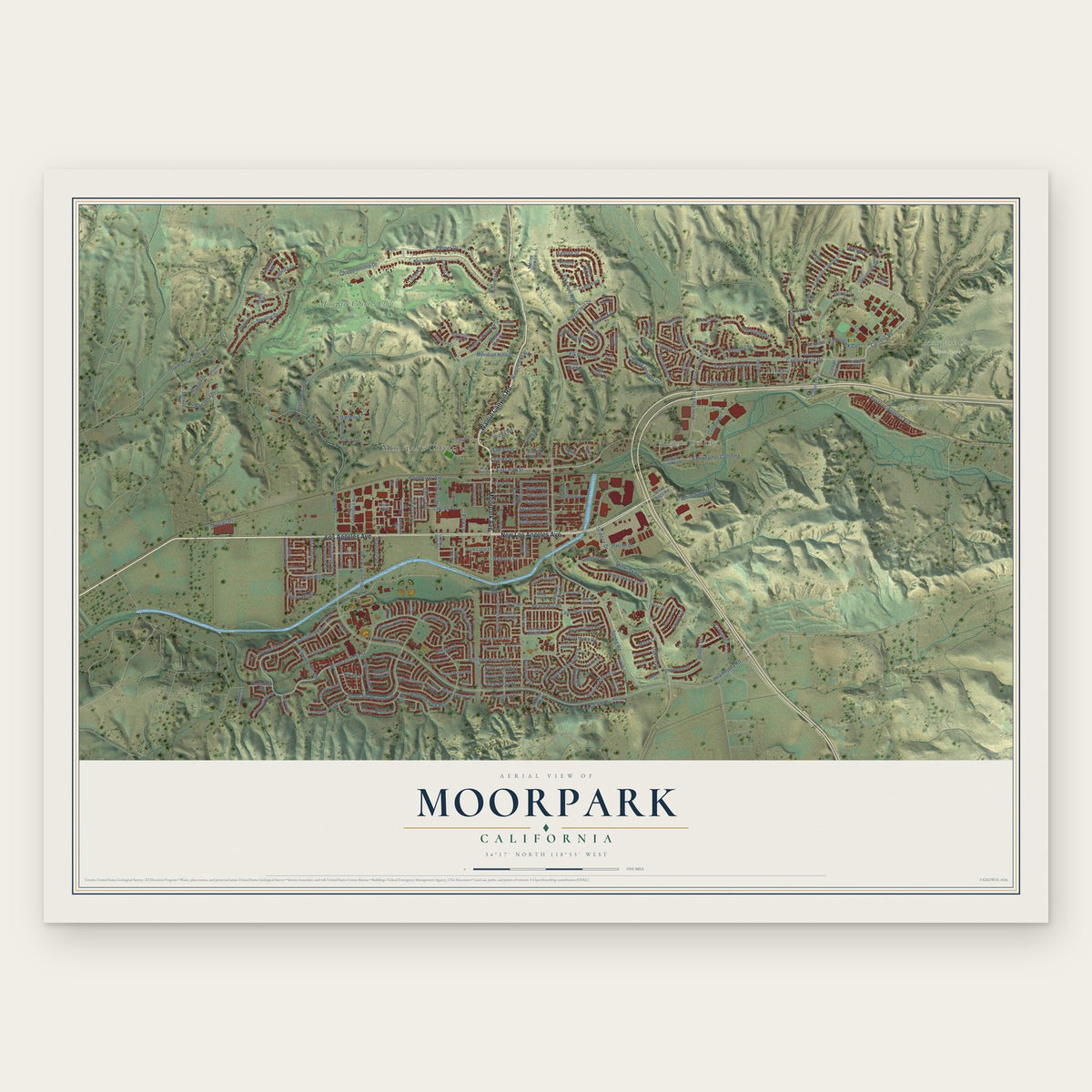
A new map of Moorpark, California, made in 2026 and printed to order on thick archival matte paper.
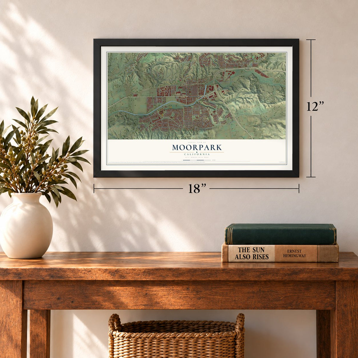
12" x 18" Archival Matte Print
A Map of Home. A Work of Art.
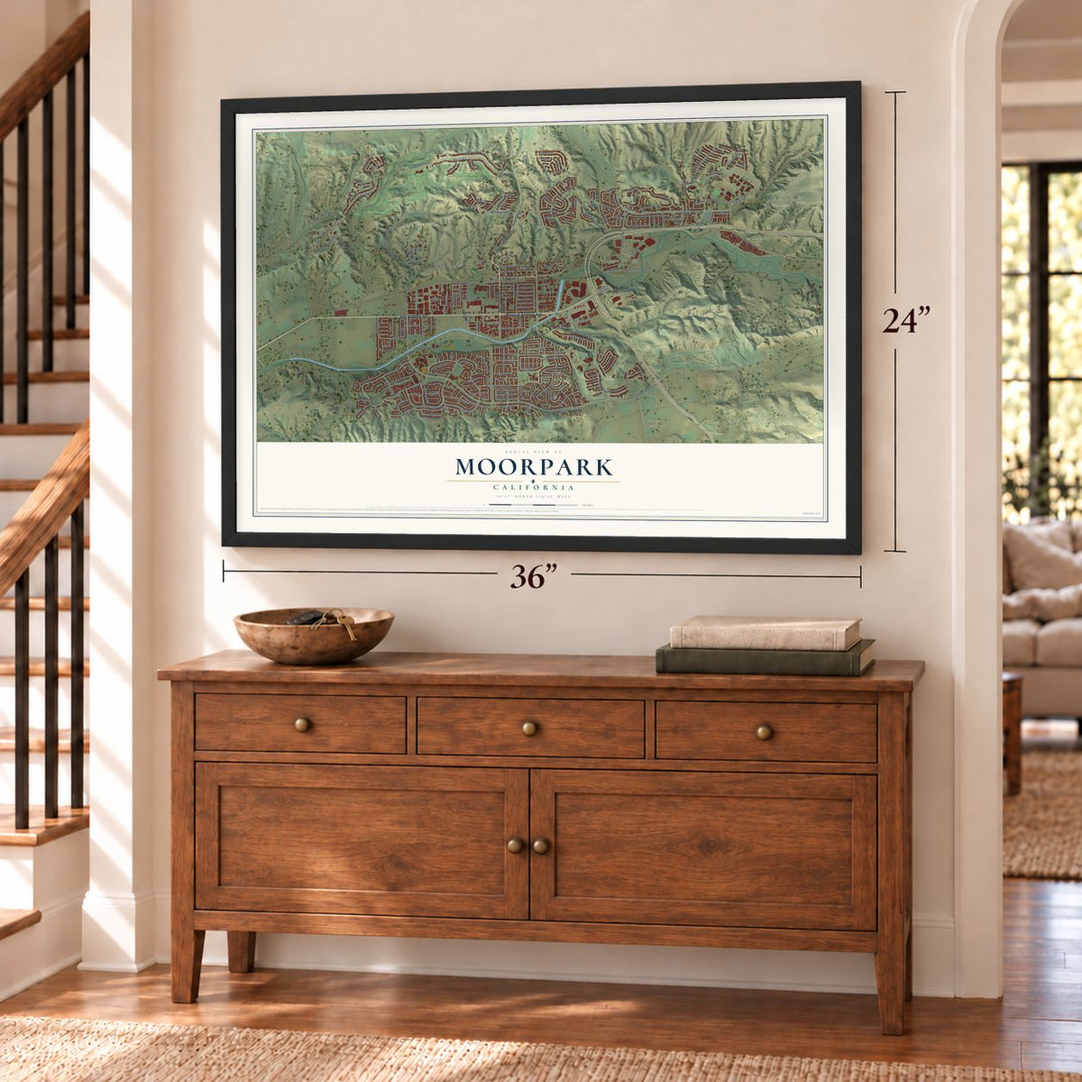
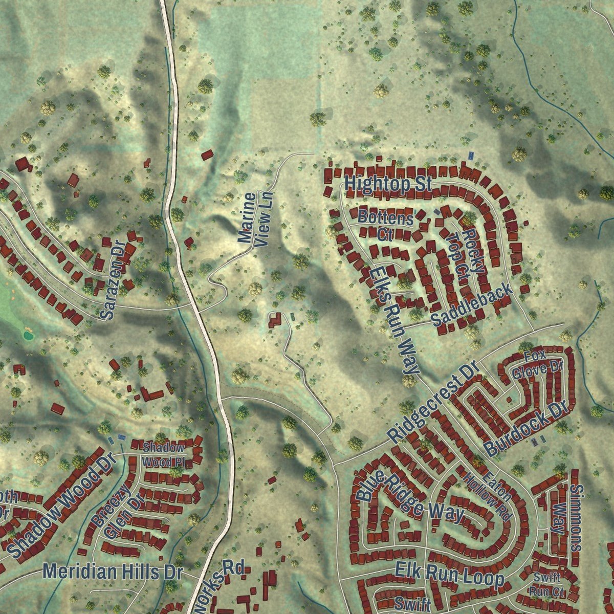
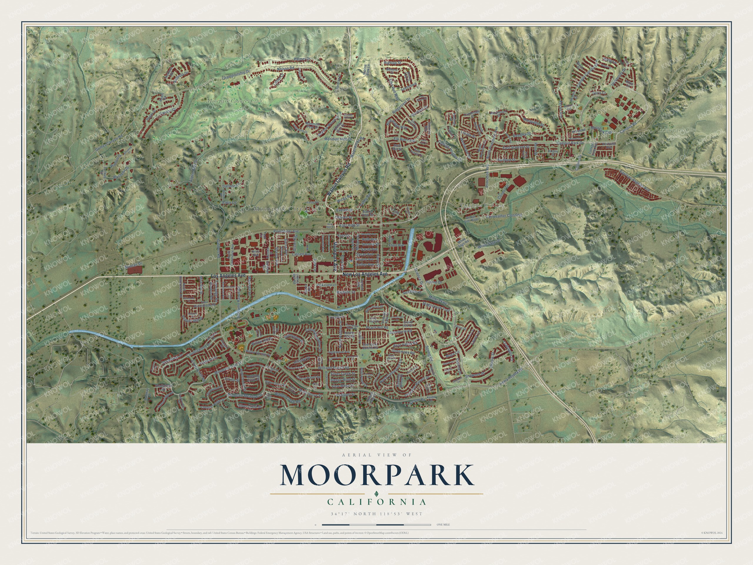
Explore Moorpark, California from a whole new perspective. Created using aerial imagery and detailed geographic data, this map captures Moorpark building by building, with labeled streets, familiar landmarks, and shaded topographical relief that highlights the natural contours of the landscape.
Combining modern data with the timeless character of a vintage atlas, this map is just as interesting up close as it is beautiful on the wall. Whether you grew up in Moorpark, spent memorable years there, or call it home today, this unique map is a great way to celebrate a place that means something to you. Zoom in on the preview to look for your street, and then order a print to put your memories on the wall.
Three ways to hang it
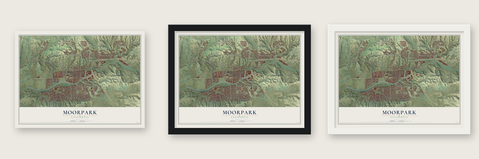
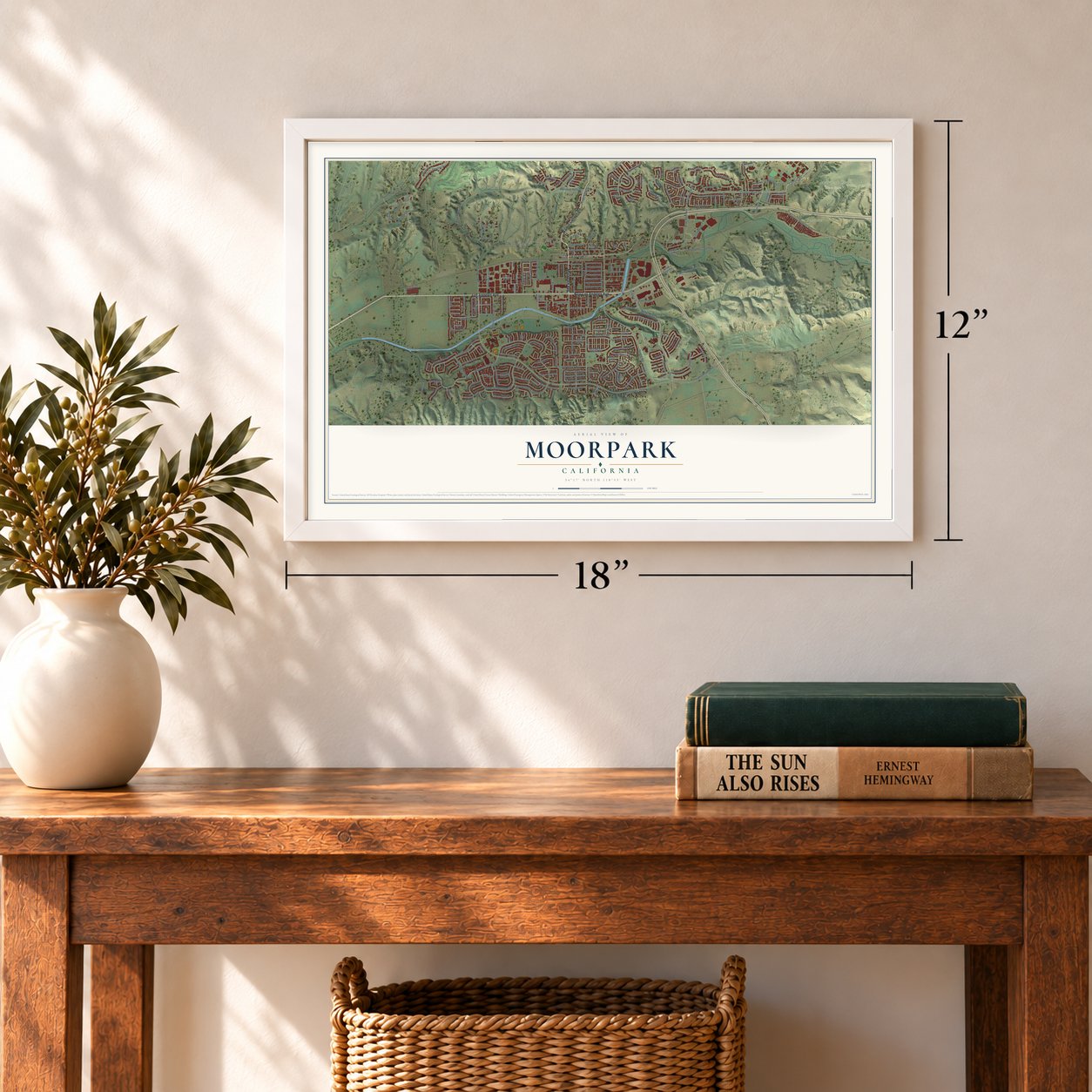
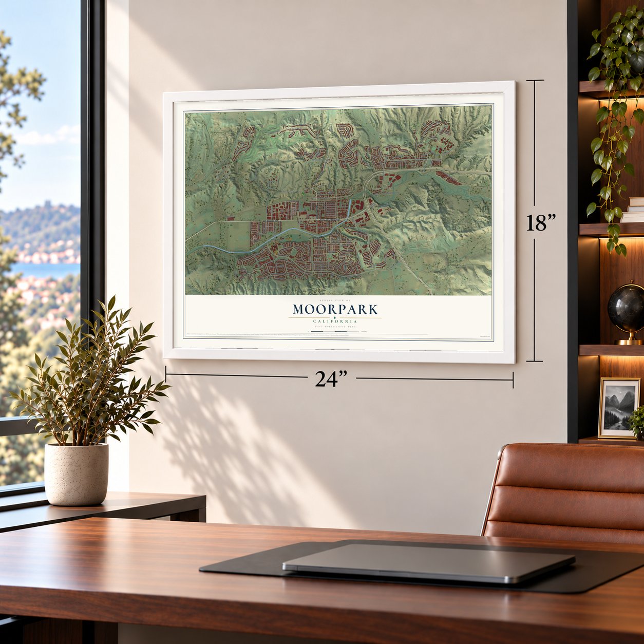
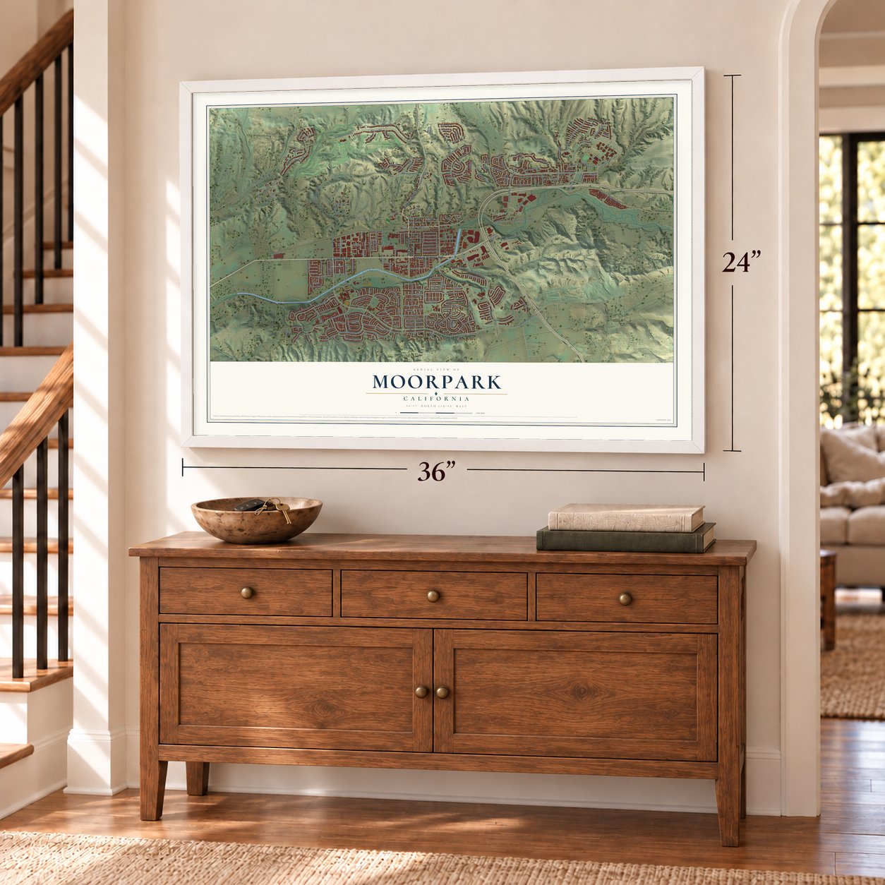
Unframed archival matte, a black wood frame or a white wood frame.
Up close
Geography Worth Displaying
This map was created using accurate cartographic data and authoritative geographic sources, including the U.S. Geological Survey and the Census Bureau. The map brings together terrain, waterways, roads, and building detail. The majority of the streets are labeled, houses are accurately depicted, and the topography is derived from government sources. Combining local data with carefully composed color and shading leads to this beautifully detailed Moorpark artwork for your wall.
Rather than simply showing street outlines, we’ve included as many of the street names as we could reasonably fit on the map while keeping their names legible. Zoom in on the high resolution preview to see exactly what’s on the map. We truly set out to create a statement piece for anyone who loves Moorpark. So whether it’s for you, or a gift for someone you love, we hope this map of Moorpark brings back fond memories.
Read the story behind this map of Moorpark, California from 2026.

About Moorpark, California
Moorpark is a city of 36,284 people in Ventura County, set in a valley carved by the Arroyo Simi. The Chumash lived here first. Their village of Quimisac, in what is now Happy Camp Canyon Regional Park, controlled the trade in fused shale across the region. In 1795 Governor Diego de Borica gave the land to the Pico brothers as part of the large Rancho Simi grant.
In 1887 Robert W. Poindexter received title to the site, and he named it for the Moorpark apricot that grew across the valley. Poindexter, secretary of the Simi Land and Water Company, had the townsite mapped in November 1900. That same year the town asked for a post office on June 1 and won approval by August. When the 7,369-foot Santa Susana rail tunnel opened in 1904, Moorpark sat on the Southern Pacific's Coast Line, the main route from Los Angeles to San Francisco, and the town grew. It became a city on July 1, 1983.
- Lit by the atom in 1957Atomics International built the Sodium Reactor Experiment at the nearby Santa Susana Field Laboratory. It ran from 1957 to 1964 and sent 7.5 megawatts to a Southern California Edison station. That made Moorpark the second town in the United States to run on commercial nuclear power, after Arco, Idaho. On November 12, 1957, Edward R. Murrow's See It Now told the story on television.
- Egg City, 1961 to 1996Julius Goldman opened Egg City just north of town in 1961, and it became the largest chicken ranch in the country. Millions of hens lived in coops spread over acres of concrete, and on windy days the smell reached Moorpark. In 1972 millions of chickens were killed because of the threat of Newcastle disease. The ranch closed in 1996, and a wildfire burned what was left of it in December 2006.
- A mammoth in the foothillsIn March 2005, builders on a housing site in the Moorpark foothills found about 75% of a mammoth skeleton, possibly the rare southern mammoth. The animal is thought to be 800,000 to 1.4 million years old and may have weighed ten tons.
- Poindexter's pepper treesRobert Poindexter, who mapped the town, planted the pepper trees that still line High Street at the old center of Moorpark. The town library opened in 1912, the city took it over from the county system in 2006, and it celebrated its centennial in 2012.
Find your street
Names on the Moorpark map
Every name below is printed on this map. Look for your street, your school, the park where you played, or the pond down the road.
Places and landmarks5
- Moorpark City Hall
- Virginia Colony
- Moorpark City Open Space
- Oak Park
- Moorpark Country Club
Streets and roads242
- New Los Angeles Avenue
- Moorpark Avenue
- Los Angeles Avenue
- Walnut Canyon Road
- Campus Park Drive
- Campus Road
- Park Lane
- Loyola Street
- College Heights Drive
- East Stanford Street
- Mountain Trail Street
- Collins Drive
- East Los Angeles Avenue
- Westwood Street
- Talmadge Road
- Valley Road
- Majestic Court
- Princeton Avenue
- Elks Run Way
- Harry Street
- Maya Circle
- Hartford Street
- Tierra Rejada Road
- Spring Road
- Science Drive
- Miller Parkway
- Mountain Meadow Drive
- Championship Drive
- Peach Hill Road
- Gabbert Road
Show all 242 streets
- Walnut Creek Road
- Countrywood Drive
- Poindexter Avenue
- Grimes Canyon Road
- Christian Barrett Drive
- Nelson Road
- East High Street
- Palmer Drive
- Marquette Street
- Millard Street
- Charles Street
- Laurelhurst Road
- Elk Run Loop
- Campus Canyon Drive
- Pecan Avenue
- Meridian Hills Drive
- Trevino Drive
- Stagecoach Trail
- Alderbrook Street
- Aspen Hills Drive
- Condor Drive
- University Drive
- Hightop Street
- Ridgecrest Drive
- White Sage Drive
- North Princeton Avenue
- Broadview Drive
- Williams Ranch Road
- Pepper Mill Street
- Shawnee Street
- Shasta Avenue
- Beltramo Ranch Road
- Second Street
- Reedley Street
- Maureen Lane
- Wicks Road
- Shadow Wood Drive
- North Cedarpine Lane
- Sierra Avenue
- Fairweather Crossing
- Blue Ridge Way
- Silver Crest Street
- Bear Valley Road
- Flory Avenue
- Countrymeadow Street
- Moorpark Coll
- Willow Hill Drive
- Misty Grove Street
- Lassen Avenue
- North Ashtree Street
- Darlene Lane
- Sunnyglen Drive
- Dakota Drive
- Country Hill Road
- Bard Street
- Elwin Lane
- Hillside Drive
- Alysheba Drive
- Augusta Drive
- Blairwood Drive
- Silver Creek Street
- Westport Street
- Gunsmoke Road
- Pimlico Drive
- Waterworks Road
- Flinn Avenue
- Mira Sol Drive
- Avedon Road
- Sleepy Wind Street
- View Mesa Street
- Everett Street
- Laurel Lane
- Patriot Drive
- Crabapple Court
- Esther Avenue
- Susan Avenue
- Illinois Street
- Gisler Road
- Sarah Avenue
- Ruth Avenue
- Littler Court
- Torino Street
- Burdock Drive
- Montair Drive
- Penn Street
- First Street
- Doris Court
- Harte Lane
- East Buttercreek Road
- Nicklaus Road
- Hearon Drive
- White Sage Road
- Turfway Road
- Marine View Lane
- Hogan Street
- North Commerce Avenue
- Bella Vista Drive
- Chestnut Ridge Street
- Southfork Road
- Quailwood Street
- Braun Court
- Weeping Willow Drive
- Mammoth Peak Drive
- Bonnie View Road
- Varsity Street
- North Buttercreek Road
- Knotty Pine Street
- East Quail Summit Road
- Willow Springs Drive
- Roberts Avenue
- Crystal Ranch Road
- Sagewood Drive
- Breezy Glen Drive
- Sunsetridge Road
- Inglewood Avenue
- Vista del Valle Drive
- Saddleback
- Alder Grove Street
- Park Crest Lane
- Penrose Avenue
- North Berkeley Circle
- Arroyo Simi River
- Marymount Street
- Liberty Bell Road
- Kernvale Avenue
- Simmons Way
- Benwood Drive
- Shadyridge Road
- North Auburn Circle
- Ransom Road
- Cornett Avenue
- Cambridge Street
- Rocky Top Court
- Bubbling Brook Street
- Bear Fence Court
- Hastings Street
- Fremont Avenue
- Sarazen Drive
- Swift Run Street
- Grand Isle Drive
- Hidden Pine Court
- Dalaway Drive
- Rawls Road
- College View Avenue
- Goldman Avenue
- Kazuko Court
- Bottens Court
- Olive Street
- Hertz Avenue
- Lucille Court
- Juarez Avenue
- Tech Circle
- Milne Circle
- Eaton Hollow Road
- Fox Glove Drive
- East Mesa Verde Drive
- Brookhurst Court
- Spring Creek Court
- Pinedale Road
- Affirmed Place
- Casey Road
- Mangrove Street
- Dorothy Avenue
- Northdale Drive
- Rivergrove Court
- Vista Levana Drive
- Third Street
- Whitney Avenue
- Ridgemark Court
- Darlene Road
- East Vistapark Drive
- Bambi Court
- Timberridge Road
- Rivergrove Street
- Zaharias Court
- Huron Court
- Woodglen Drive
- Monroe Avenue
- Keisha Drive
- Minor Street
- Sky Glen Court
- Oakcliff Drive
- Chesterfield Drive
- Arbor Hill Street
- Borges Drive
- Donnybrook Lane
- Trailcrest Drive
- Willow Creek Lane
- Swift Run Court
- Shady Point Drive
- Granadilla Drive
- Meadow Street
- Courtney Lane
- McFadden Avenue
- Oneida Court
- Kingsview Road
- Elmrock Avenue
- Golondrina Street
- Julliard Avenue
- Beech Grove Court
- Lafayette Court
- Willowood Court
- Peach Slope Road
- North Duke Street
- Shawnee Court
- Hedyland Court
- Summer Glen Court
- Griffith Lane
- Shadow Wood Place
- West High Street
- Winter Avenue
- Justin Court
Names are listed as they appear on the printed map. Zoom into the product photos to find them.
The art of mapping a place
How This Map Was Made
Real places. Remarkable detail. Discover the layers that turn geographic data into a map of home.

The view from above
Aerial imagery reveals the character of the land: woodland, open fields, and the patterns of a place.

The shape of the land
Elevation data brings hills, valleys, and subtle changes in the landscape into view.

The details of home
Roads, waterways, and building footprints come together to make the map feel unmistakably local.

Geography becomes art
Considered color, shading, and typography bring the layers together in a map made for your wall.


Process illustrated with Mendon, Massachusetts. Aerial imagery: USDA NAIP. Terrain: USGS 3D Elevation Program. Map details and finished artwork: KNOWOL.
The Details
About This Print
Choose an archival matte print, or a black or white Ayous wood frame. The archival matte print is unframed.
Select your size and finish above to see the matching product image and price.
Materials & Craftsmanship
A contemporary map with the character of a classic atlas, printed on archival matte paper. Optional frames are made from Ayous wood.
Your printed map does not include the watermark shown in the full-map preview.
Shipping & Delivery
Free shipping within the United States. Every print is made to order in the USA.
Buying a gift? Add a note in your cart and we'll include it. We never put prices in the package.
Prints ship within 2 to 3 business days. Allow 7 to 10 days total from ordering for delivery. Timing may vary during holidays or periods of high order volume.
Read our shipping policy.
Returns and damaged prints
Each print is made to order. Change-of-mind refunds are not available after production.
If your print arrives damaged, misprinted or incorrect, contact support@knowol.com within 30 days of receiving it. Include your order number, photos and a description of the issue.
Read our full refund and replacement policy. For questions about your order, email support@knowol.com.
Find your town
Looking for another city?
Find a map of home in our California collection, or any town in the country.
Nearby
Maps of towns near Moorpark
Know someone from one of these towns? Their map makes a great gift.
 Santa Rosa Valley
, California
From $39.99See the map
 Thousand Oaks
, California
From $39.99See the map
 Somis
Somis, California
From $39.99See the map
More maps nearby: Simi Valley, Casa Conejo, Fillmore, Piru and Oak Park.