
Search for another town




Free U.S. delivery 7 to 10 days after you order
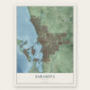
Sarasota, Florida Map Art
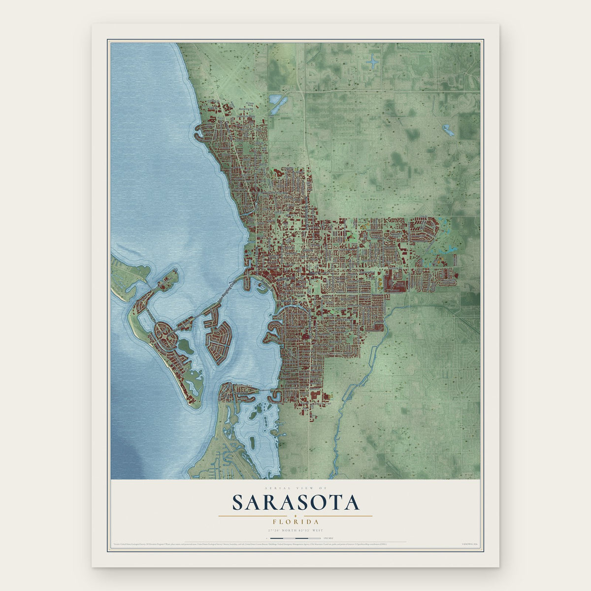
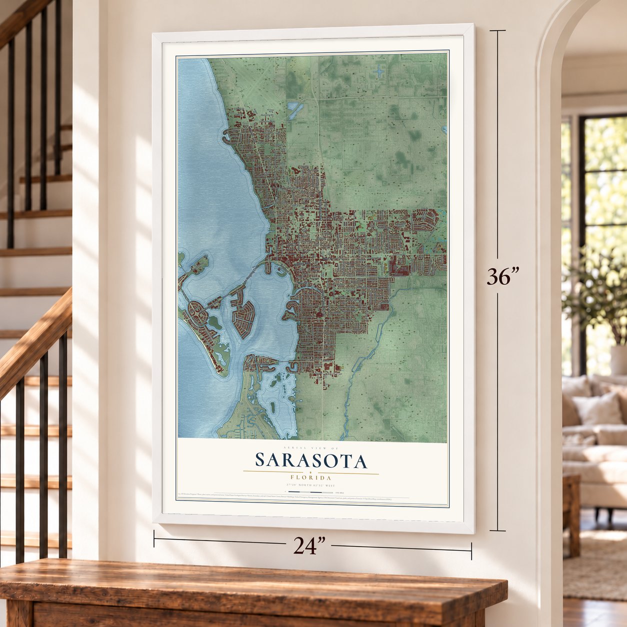
A new map of Sarasota, Florida, made in 2026 and printed to order on thick archival matte paper.
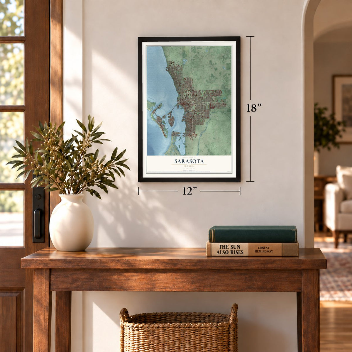
12" x 18" Archival Matte Print
A Map of Home. A Work of Art.
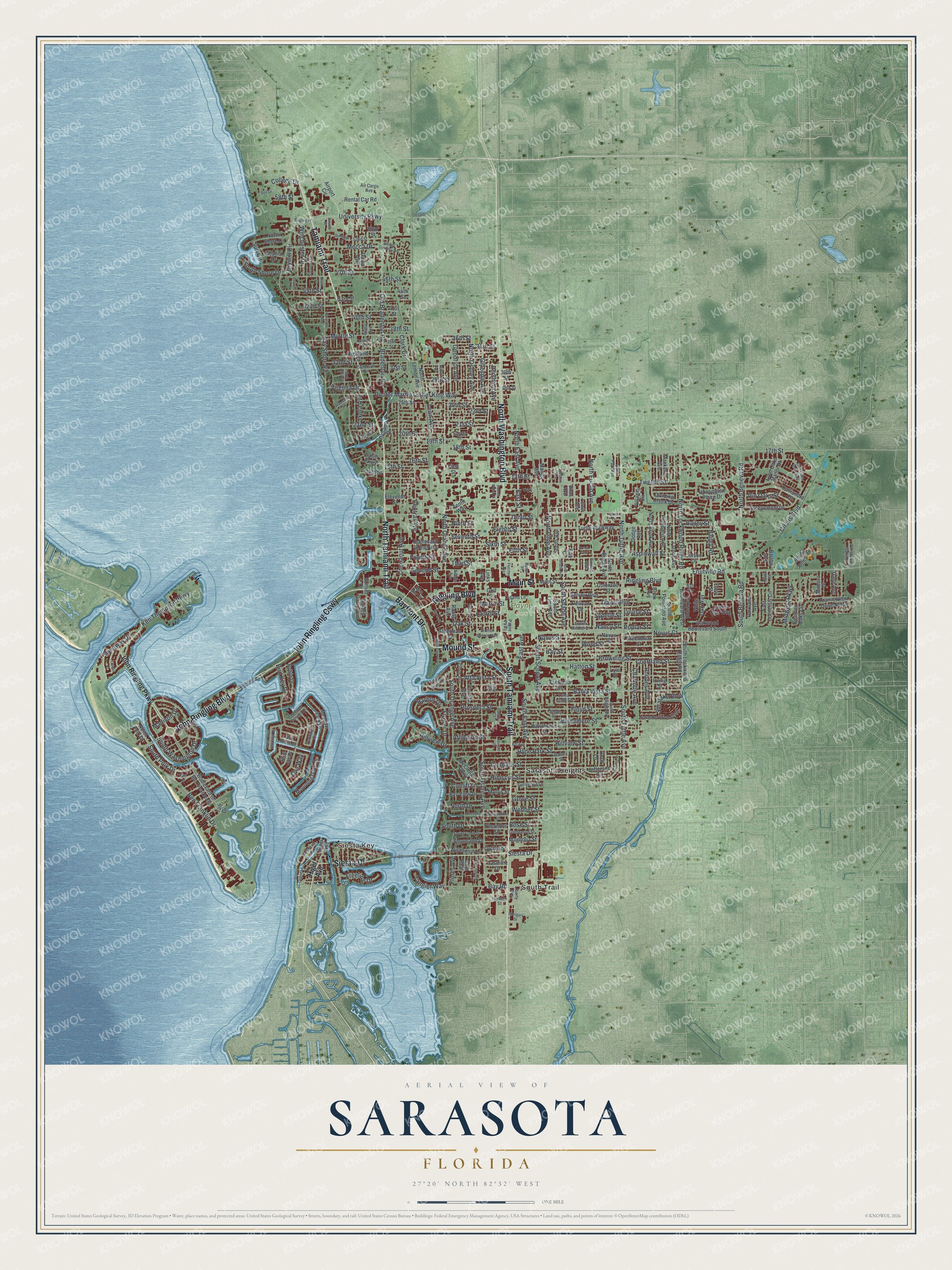
Explore Sarasota, Florida from a whole new perspective. Created using aerial imagery and detailed geographic data, this map captures Sarasota building by building, with labeled streets, familiar landmarks, and shaded topographical relief that highlights the natural contours of the landscape.
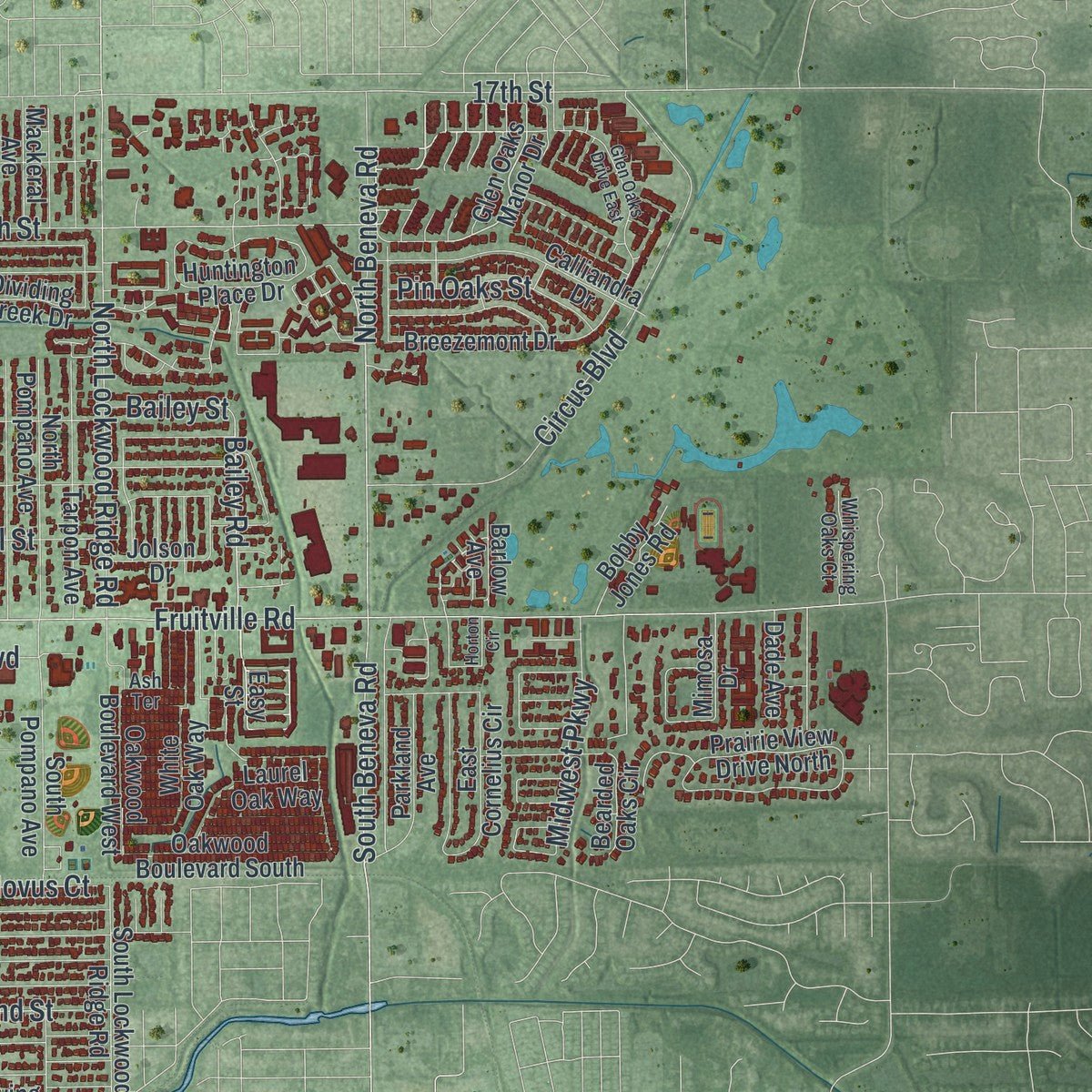
Combining modern data with the timeless character of a vintage atlas, this map is just as interesting up close as it is beautiful on the wall. Whether you grew up in Sarasota, spent memorable years there, or call it home today, this unique map is a great way to celebrate a place that means something to you. Zoom in on the preview to look for your street, and then order a print to put your memories on the wall.
Three ways to hang it
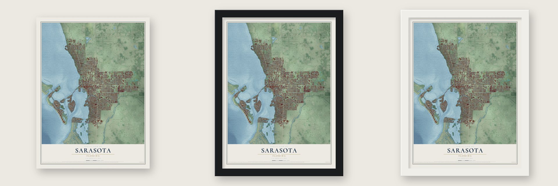
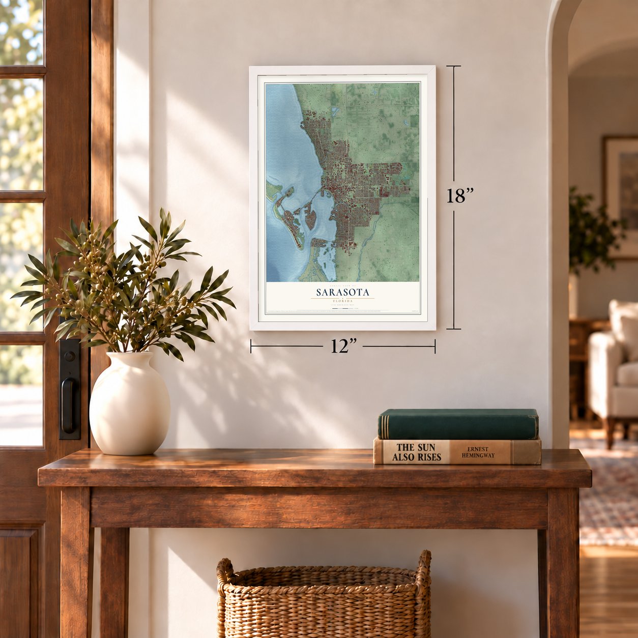
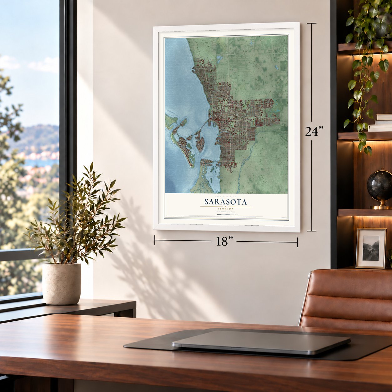
Unframed archival matte, a black wood frame or a white wood frame.
Up close
Geography Worth Displaying
This map was created using accurate cartographic data and authoritative geographic sources, including the U.S. Geological Survey (USGS) and FEMA. The map brings together terrain, waterways, roads, and building detail. The majority of the streets are labeled, houses are accurately depicted, and the topography is derived from government sources. Combining local data with carefully composed color and shading leads to this beautifully detailed Sarasota artwork for your wall.
Rather than simply showing street outlines, we’ve included as many of the street names as we could reasonably fit on the map while keeping their names legible. Zoom in on the high resolution preview to see exactly what’s on the map. We truly set out to create a statement piece for anyone who loves Sarasota. So whether it’s for you, or a gift for someone you love, we hope this map of Sarasota brings back fond memories.
Explore the full map of Sarasota, Florida and read about the local places it shows.
About Sarasota, Florida
Sarasota is a city of 54,842 people on Sarasota Bay and the county seat of Sarasota County. William Henry Whitaker settled here in the mid-19th century. Between about 1883 and 1885 a company from Edinburgh, the Florida Mortgage and Investment Company, purchased 60,000 acres to develop, and Scottish families started arriving in December 1885. The settlement became a town on October 14, 1902, and John Hamilton Gillespie, an early golf pioneer, served as its first mayor.
Sarasota reorganized as a city on May 13, 1913, with A. B. Edwards as its first city mayor. In 1921 it became the seat of the new Sarasota County, carved out of Manatee County. A real estate rush in the early twentieth century pushed the city limits out to almost 70 square miles, but when the speculation collapsed starting in 1926, the limits pulled back to less than a quarter of that size.
- The circus came in 1927In 1927 John Ringling brought the Ringling Bros. and Barnum & Bailey Circus here to spend its winters, and the city has gone by Circus City ever since. His home by the bay, Ca d'Zan, was built mostly in a Venetian style. The John and Mable Ringling Museum of Art now holds the Circus Museum, and plaques in St. Armands Circle honor over 150 figures from circus history.
- Ringling's bridge to the keysRingling owned land on the keys across Sarasota Bay, so he paid about $750,000 for a causeway to reach them. It opened on February 7, 1926, and in 1927 he gave it to the city. Today's John Ringling Causeway, a bridge 65 feet tall, opened in 2003. Siesta Key had its own first bridge in 1917; before that, people got there only by boat or ferry.
- Spring training at Payne ParkCalvin and Martha Payne gave the city land for a park in 1923. Starting in 1924 its ballpark hosted spring training and minor league teams, among them the New York Giants, the Boston Red Sox and the Chicago White Sox. Norman Rockwell placed his 1957 painting The Rookie in the Red Sox locker room there. On October 6, 2007, the grounds opened again as a public park of 29 acres.
- Old stages still in useThe Edwards Theatre opened in 1925 and drew stars such as Elvis Presley and Will Rogers before it became the permanent home of the Sarasota Opera. The Sarasota Woman's Club, founded in 1903, ran the town's first library; its building was rescued from demolition in 1976, joined the National Register in 1985 and is now Florida Studio Theatre's Keating Theatre. The Municipal Auditorium went up in 1937 with Works Progress Administration money.
- No daughter named SaraA Spanish map on sheepskin from 1763 already shows the word Zarazote here, and when Florida's first state maps were drawn in 1839, they used the name Sarasota. In 1906 George F. Chapline made up the story that Hernando de Soto, who visited in 1539, named the place for his daughter Sara, complete with her doomed romance with a Seminole prince, Chichi Okobee. De Soto had no children.
Find your street
Names on the Sarasota map
Every name below is printed on this map. Look for your street, your school, the park where you played, or the pond down the road.
Places and landmarks4
- Siesta Key
- Payne Park
- Sarasota Heights
- South Trail
Streets and roads305
- Tamiami Trail
- North Tamiami Trail
- John Ringling Causeway
- Bayfront Drive
- Ringling Boulevard
- North Washington Boulevard
- John Ringling Boulevard
- South Tamiami Trail
- Siesta Drive
- Main Street
- Mound Street
- Mecca Drive
- South Polk Drive
- Bailey Road
- North Beneva Road
- Doctor Martin Luther King Way
- Bird Key Drive
- South Beneva Road
- Bay Shore Road
- Twelfth Street
- North Lockwood Ridge Road
- South Shade Avenue
- North Lime Avenue
- Aspinwall Street
- Courtland Street
- Fruitville Road
- South Tuttle Avenue
- South Osprey Avenue
- Tenth Street
- Eighth Street
Show all 305 streets
- Cocoanut Avenue
- Old Bradenton Road
- North Orange Avenue
- Sixth Street
- North Tuttle Avenue
- Bradenton Road
- Bahia Vista Street
- Central Avenue
- 17th Street
- South School Avenue
- Wood Street
- North Osprey Avenue
- Floyd Street
- Hyde Park Street
- Bay Street
- Arlington Street
- Ben Franklin Drive
- Waldemere Street
- South Orange Avenue
- Hillview Street
- 32nd Street
- Fourth Street
- Gillespie Avenue
- East Street
- South East Avenue
- Goodrich Avenue
- Prospect Street
- North East Avenue
- 15th Street
- Browning Street
- Seventh Street
- Circus Boulevard
- Third Street
- Alta Vista Street
- Fifth Street
- Second Street
- 21st Street
- Novus Street
- 22nd Street
- Clematis Street
- Oak Street
- Hatton Street
- 47th Street
- Ninth Street
- Davis Boulevard
- Myrtle Street
- 18th Street
- 40th Street
- 24th Street
- University Parkway
- 19th Street
- 42nd Street
- Harbor Drive
- 29th Street
- Rhodes Avenue
- Hibiscus Street
- 23rd Street
- East Avenue
- Ken Thompson Parkway
- Laurel Street
- South Washington Drive
- 13th Street
- 20th Street
- Leon Avenue
- 45th Street
- 34th Street
- North Euclid Avenue
- Westway Drive
- 16th Street
- Webber Street
- Morrill Street
- Grove Street
- Rose Street
- Winchester Drive
- 46th Street
- Midwest Parkway
- Hillview Drive
- College Drive
- Pin Oaks Street
- Saralake Boulevard
- 36th Street
- Pershing Avenue
- Charlotte Avenue
- Freeling Drive
- South Drive
- South Shore Drive
- 38th Street
- Brywill Circle
- Bay Road
- North Drive
- Flower Drive
- Tangier Way
- Bailey Street
- Madison Drive
- Sun Circle
- Cunliff Lane
- Sydelle Street
- Flores Avenue
- Ixora Avenue
- Virginia Drive
- Clark Drive
- Louise Street
- Owl Way
- Poplar Street
- Novus Court
- Nancy Street
- 58th Street
- John Ringling Parkway
- Higel Avenue
- Glen Oaks Manor Drive
- Easy Street
- Boulevard of the Presidents
- North Briggs Avenue
- Oakwood Boulevard West
- Brink Avenue
- Hawthorne Street
- Boulevard of the Arts
- First Street
- North Lemon Avenue
- Tarpon Avenue
- Airport Circle
- Eleventh Street
- 25th Street
- North Pompano Avenue
- North Brink Avenue
- 41st Street
- Huntington Place Drive
- Villagio Circle
- Highland Street
- 31st Street
- Irving Street
- South Lime Avenue
- Breezemont Drive
- Colorado Street
- Calliandra Drive
- South Pompano Avenue
- Golden Gate Point
- Prairie View Drive North
- South Lockwood Ridge Road
- Tamisola Street
- Seeds Avenue
- 14th Street
- Meadow Lark Drive
- Orchid Street
- Magnolia Street
- Belvoir Boulevard
- Robin Drive
- Oakwood Boulevard South
- McClellan Parkway
- Pelican Drive
- Mango Avenue
- Jefferson Circle
- Pomelo Avenue
- Alderman Street
- Turtle Walkway
- East Cornelius Circle
- Mourning Dove Drive
- Dodge Avenue
- Laurel Oak Way
- Rawls Avenue
- 44th Street
- Bay View Drive
- North Shore Drive
- Dividing Creek Drive
- Wisconsin Lane
- Bobby Jones Road
- Rental Car Road
- Cam Real
- David Avenue
- Shoreland Drive
- Bearded Oaks Circle
- White Oak Way
- Greenbriar Street
- Panama Drive
- 30th Street
- Tenth Way
- Parkland Avenue
- Lewis Avenue
- Mackeral Avenue
- Vilas Avenue
- Morris Street
- Oleander Street
- Dade Avenue
- Acacia Drive
- Mimosa Drive
- North Polk Drive
- Taft Drive
- Jolson Drive
- Jasmine Drive
- Novus Place
- Gary Street
- Barlow Avenue
- Sunset Drive
- Blue Jay Place
- Tahiti Parkway
- Golf Street
- 53rd Street
- Erie Court
- Lyle Street
- Links Avenue
- Craft Lane
- Datura Street
- Loma Linda Street
- Temple Street
- Rilma Avenue
- South Briggs Avenue
- Patterson Drive
- Goldenrod Street
- Stevens Drive
- Adams Lane
- Saralake Drive South
- Partridge Circle
- 35th Street
- Air Cargo Avenue
- Adelia Avenue
- Payne Parkway
- Bay Point Drive
- Bob White Drive
- Citrus Avenue
- 52nd Street
- Ohio Place
- Almeria Avenue
- 28th Street
- Sunnyside Lane
- Whispering Oaks Court
- Bon Air Avenue
- Hansen Street
- Yale Avenue
- Sylvan Drive
- Liberty Avenue
- Oak Park Avenue
- South Milmar Drive
- Carver Court
- Lasula Court
- Ash Terrace
- Mira Mar Court
- Suntan Avenue
- Sunridge Drive
- South Palm Avenue
- Village Gardens Drive
- Glen Oaks Drive East
- Bougainvillea Street
- North Shade Avenue
- Tyler Drive
- East Royal Flamingo Drive
- Sarasota Avenue
- Ringling Place
- West Royal Flamingo Drive
- Wisteria Place
- Dort Drive
- Horton Circle
- Spring Creek Drive
- Noble Avenue
- Bayou Louise Lane
- Third
- Center Place
- Brother Geenen Way
- Desoto Road
- Huron Lane
- Colleton Drive
- Gulfmead Drive
- Fletcher Avenue
- Charles Lane
- Cherokee Drive
- Glengary Street
- Burns Court
- Alameda Lane
- Zacchini Avenue
- Laurent Place
- Palmer Wood Court
- Leeta Lane
- Bel Aire
- Bruce Lane
- Desoto Place
- Halton Place
Names are listed as they appear on the printed map. Zoom into the product photos to find them.
The art of mapping a place
How This Map Was Made
Real places. Remarkable detail. Discover the layers that turn geographic data into a map of home.

The view from above
Aerial imagery reveals the character of the land: woodland, open fields, and the patterns of a place.

The shape of the land
Elevation data brings hills, valleys, and subtle changes in the landscape into view.

The details of home
Roads, waterways, and building footprints come together to make the map feel unmistakably local.

Geography becomes art
Considered color, shading, and typography bring the layers together in a map made for your wall.


Process illustrated with Mendon, Massachusetts. Aerial imagery: USDA NAIP. Terrain: USGS 3D Elevation Program. Map details and finished artwork: KNOWOL.
The Details
About This Print
Choose an archival matte print, or a black or white Ayous wood frame. The archival matte print is unframed.
Select your size and finish above to see the matching product image and price.
Materials & Craftsmanship
A contemporary map with the character of a classic atlas, printed on archival matte paper. Optional frames are made from Ayous wood.
Your printed map does not include the watermark shown in the full-map preview.
Shipping & Delivery
Free shipping within the United States. Every print is made to order in the USA.
Buying a gift? Add a note in your cart and we'll include it. We never put prices in the package.
Prints ship within 2 to 3 business days. Allow 7 to 10 days total from ordering for delivery. Timing may vary during holidays or periods of high order volume.
Read our shipping policy.
Returns and damaged prints
Each print is made to order. Change-of-mind refunds are not available after production.
If your print arrives damaged, misprinted or incorrect, contact support@knowol.com within 30 days of receiving it. Include your order number, photos and a description of the issue.
Read our full refund and replacement policy. For questions about your order, email support@knowol.com.
Find your town
Looking for another city?
Find a map of home in our Florida collection, or any town in the country.
Nearby
Maps of towns near Sarasota
Know someone from one of these towns? Their map makes a great gift.
 North Sarasota
, Florida
From $39.99See the map
 Pinecraft
, Florida
From $39.99See the map
 Southgate
, Florida
From $39.99See the map
More maps nearby: Kensington Park, Desoto Acres, South Sarasota, Desoto Lakes and Ridge Wood Heights.