
Search for another town


Free U.S. delivery 7 to 10 days after you order
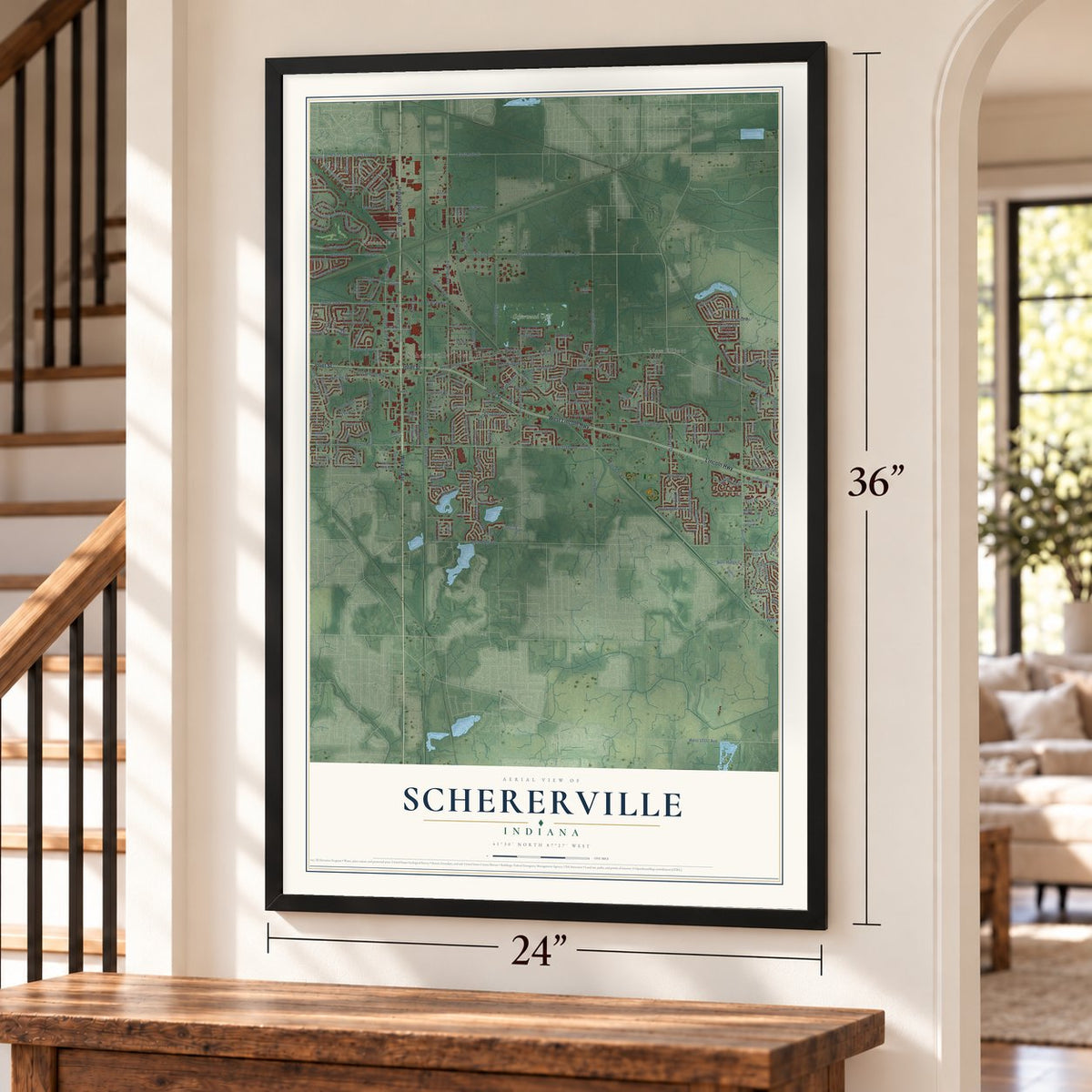
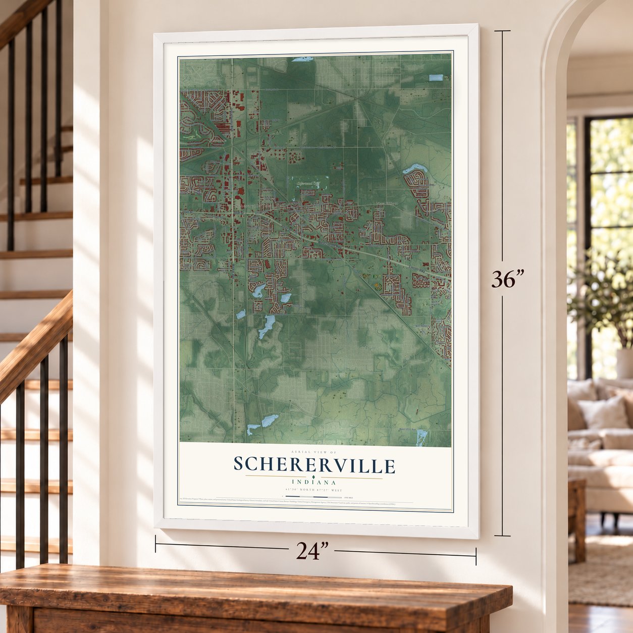
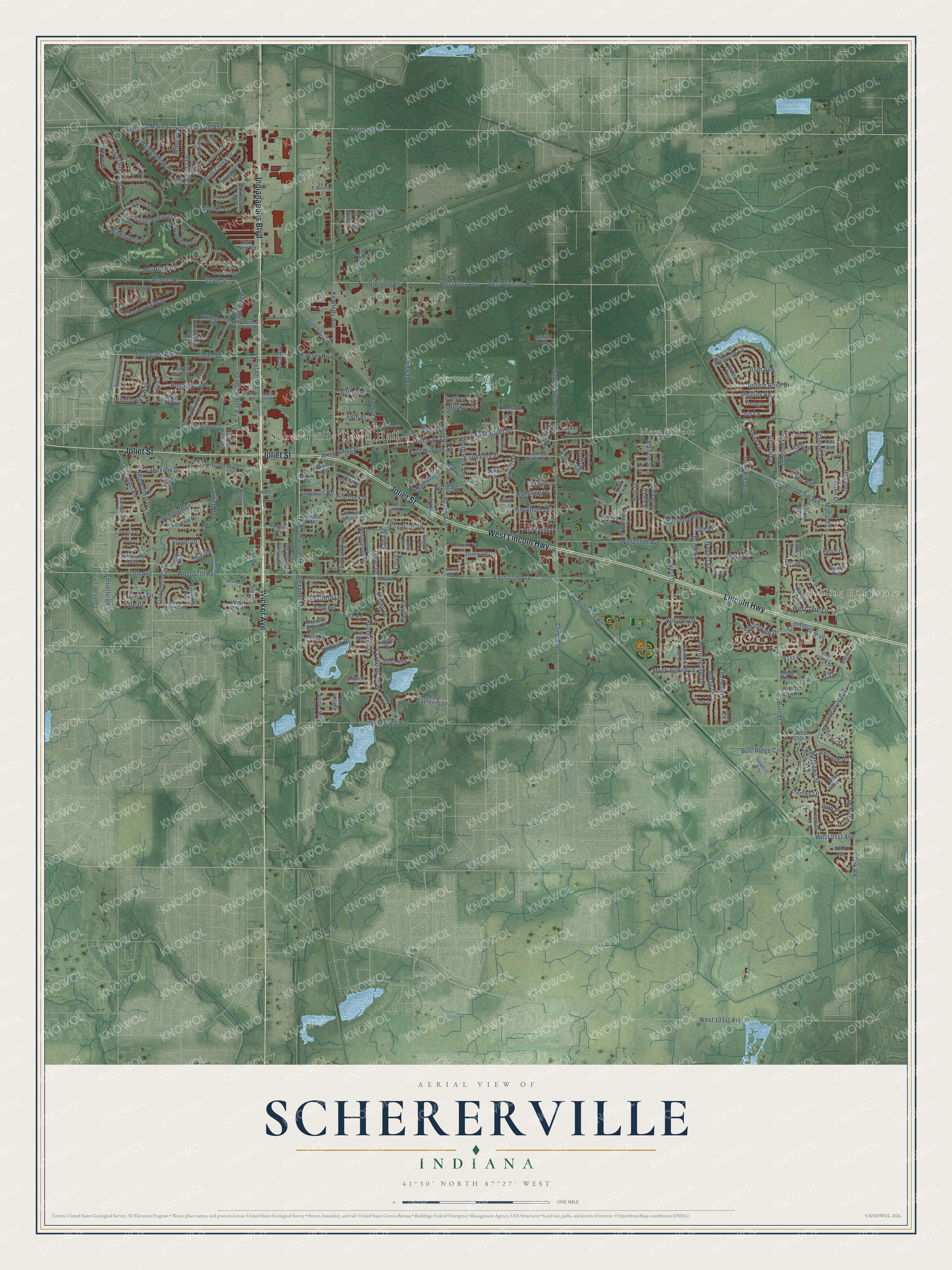
Schererville, Indiana Map Art
Building by building, with labeled streets and shaded relief.
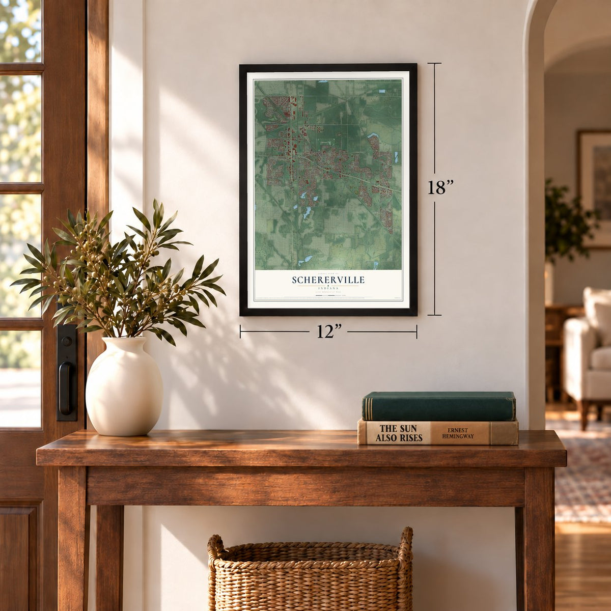
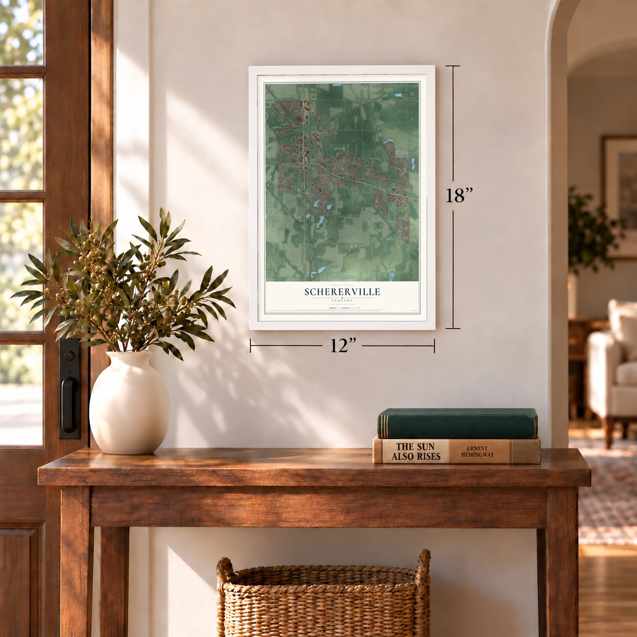
12" x 18" Archival Matte Print
A Map of Home. A Work of Art.
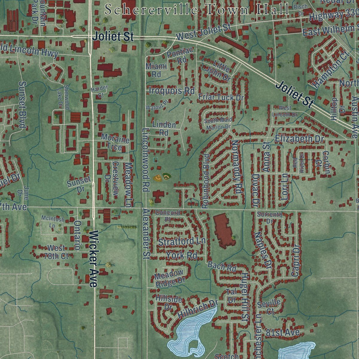
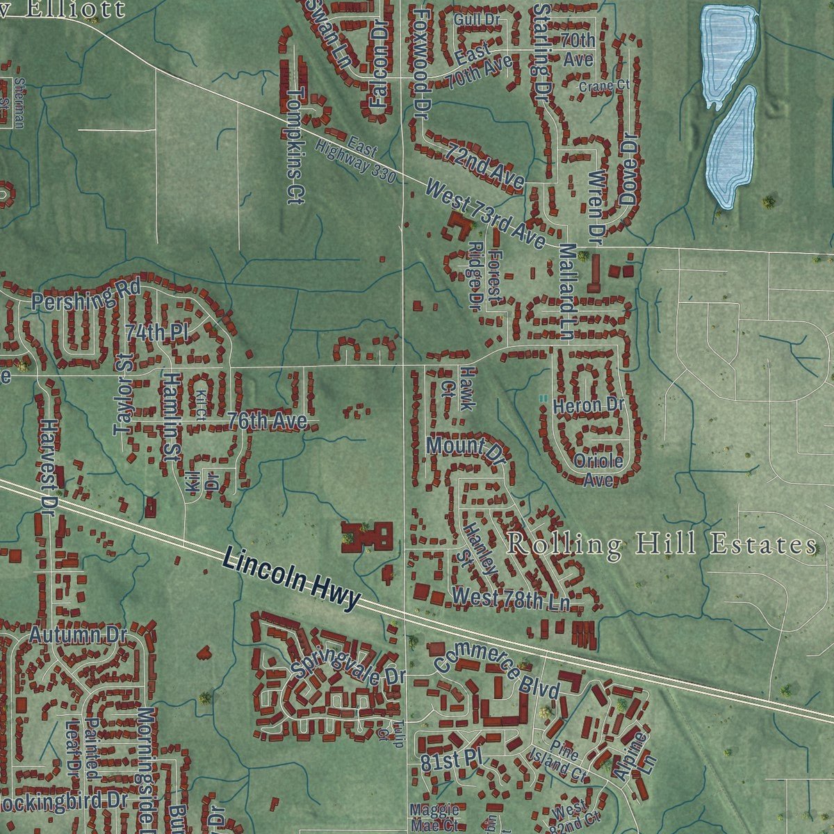
Explore Schererville, Indiana from a whole new perspective. Created using aerial imagery and detailed geographic data, this map captures Schererville building by building, with labeled streets, familiar landmarks, and shaded topographical relief that highlights the natural contours of the landscape.
Combining modern data with the timeless character of a vintage atlas, this map is just as interesting up close as it is beautiful on the wall. Whether you grew up in Schererville, spent memorable years there, or call it home today, this unique map is a great way to celebrate a place that means something to you. Zoom in on the preview to look for your street, and then order a print to put your memories on the wall.
Three ways to hang it
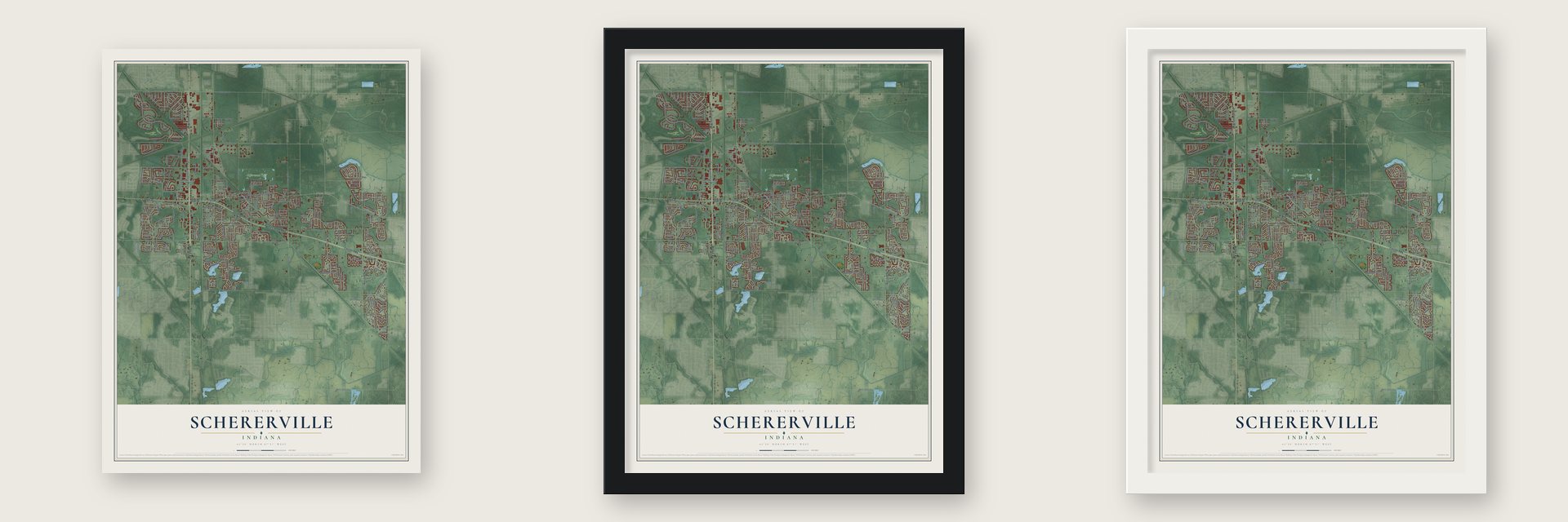
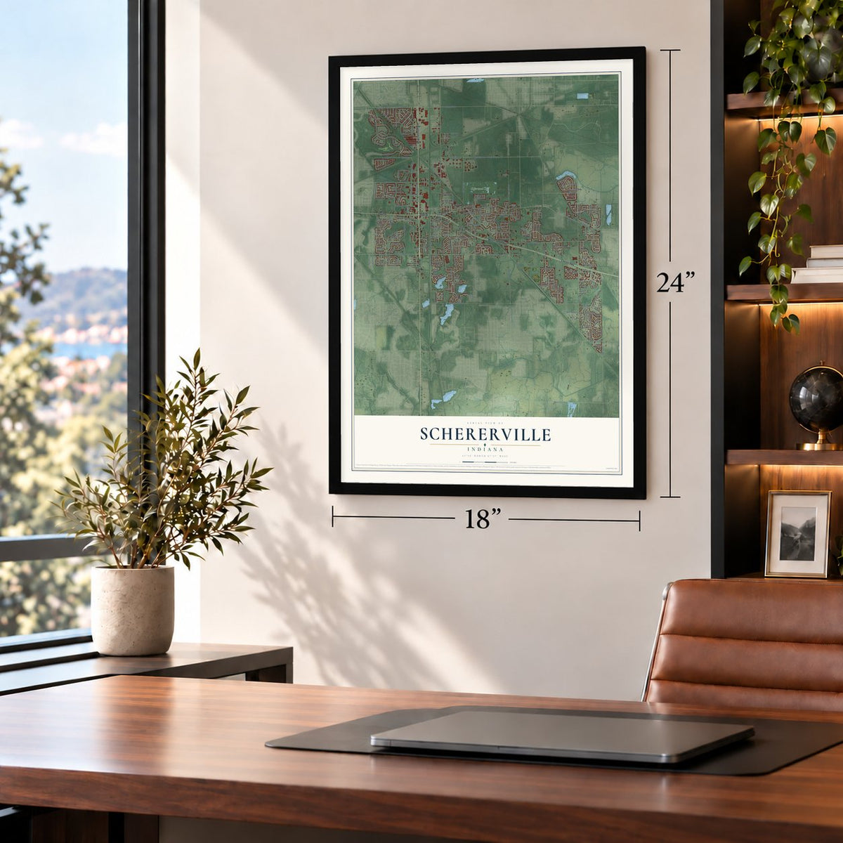
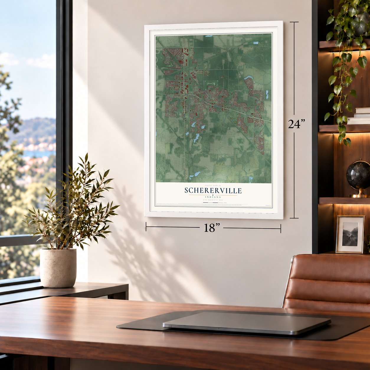
Unframed archival matte, a black wood frame or a white wood frame.
Up close
Geography Worth Displaying
This map was created using accurate cartographic data and authoritative geographic sources, including the U.S. Geological Survey and the Census Bureau. The map brings together terrain, waterways, roads, and building detail. The majority of the streets are labeled, houses are accurately depicted, and the topography is derived from government sources. Combining local data with carefully composed color and shading leads to this beautifully detailed Schererville artwork for your wall.
Rather than simply showing street outlines, we’ve included as many of the street names as we could reasonably fit on the map while keeping their names legible. Zoom in on the high resolution preview to see exactly what’s on the map. We truly set out to create a statement piece for anyone who loves Schererville. So whether it’s for you, or a gift for someone you love, we hope this map of Schererville brings back fond memories.
Read the story behind this map of Schererville, Indiana from 2026.
Find your street
Names on the Schererville map
Every name below is printed on this map. Look for your street, your school, the park where you played, or the pond down the road.
Places and landmarks5
- Schererville Town Hall
- Hartsdale
- Rolling Hill Estates
- New Elliott
- Scherwood Golf
Streets and roads277
- Indianapolis Boulevard
- West Lincoln Highway
- Joliet Street
- Lincoln Highway
- Wicker Avenue
- Phillips Road
- Burr Street
- West 61st Avenue
- West Division Road
- West Joliet Street
- 77th Avenue
- East Joliet Street
- Bell Street
- Lincolnwood Road
- West 101st Avenue
- East 77th Avenue
- Old Lincoln Highway
- West 77th Avenue
- Pine Island Drive
- Springvale Drive
- 74th Place
- Commerce Boulevard
- Vale Drive
- 213th Street
- Airport Road
- Division Street
- Hugel Hill Street
- Alexander Street
- Eagle Ridge Drive
- Eagleridge
Show all 277 streets
- Deer Creek Drive
- Mathews Street
- Dove Drive
- Amberleigh Lane
- East Main Street
- Highway 330
- Rohrman Road
- Jeffrey Street
- Kennedy Avenue
- East 53rd Avenue
- West 75th Avenue
- Main Street
- East Saint Andrews Drive
- Saint Andrews Drive
- Cline Avenue
- Saint John Road
- Austin Avenue
- Junction Avenue
- South Cline Avenue
- Woodhollow Drive
- Central Avenue
- Janice Drive
- Anna Street
- Harvest Drive
- West 85th Avenue
- Pershing Road
- Starling Drive
- West 91st Avenue
- Capri Drive
- Burr Ridge Circle
- Plum Creek Drive
- Clark Place
- Wilderness Drive
- Autumn Drive
- Lakeview Drive
- Hanley Lane
- South Park Avenue
- Manchester Lane
- Hamlin Street
- Frontage Road
- Schilling Drive
- West 73rd Avenue
- Foxwood Drive
- Govert Drive
- 65th Avenue
- Falcon Drive
- Burge Drive
- East Wilhelm Street
- Meadow Lane
- Charlevoix Way
- Ticonderoga Street
- Wildflower Way
- Cypress Drive
- Sunset Boulevard
- Wildrose Lane
- Muirfield Drive
- Maple Place
- 76th Avenue
- Morningside Drive
- Oak Street
- Kathleen Drive
- Elizabeth Drive
- Prairie Rose Drive
- 72nd Avenue
- Gregory Street
- Theresa Drive
- Roman Road
- Poppyfield Place
- Liberty Drive
- Clark Road
- Mockingbird Drive
- Naples Drive
- Turnberry Drive
- Normandy Road
- Hilbrich Drive
- Wren Drive
- Taylor Street
- Tate Drive
- Tompkins Court
- Huppenthal Drive
- Willow Lane
- Caroline Avenue
- Julie Drive
- Knoxbury Drive
- West 78th Lane
- Hampton Court
- York Road
- Divac Drive
- 68th Place
- Novo Drive
- 81st Place
- Brooke Lane
- Lori Lane
- Kaeser Boulevard
- Birch Avenue
- Mallard Lane
- Mount Drive
- Iroquois Road
- 81st Avenue
- Stratford Lane
- 67th Avenue
- Thiel Drive
- Lily Lane
- Edison Street
- Gatlin Road
- North Road
- Redar Drive
- 89th Place
- Bunker Drive
- Ontario
- Swan Lane
- Gates Drive
- Iris Lane
- Sandi Lane
- Slager Drive
- Ben Drive
- Linden Road
- Bach Road
- Barrington Court
- Willowbrook Drive
- Deerpath Drive
- Winchester Lane
- Oriole Avenue
- Robinhood Boulevard
- Inverness Lane
- East 70th Avenue
- 70th Avenue
- Mackinaw Place
- Forest Ridge Drive
- Painted Leaf Drive
- James Wittchen Drive
- Bluegrass Drive
- Saratoga Avenue
- Durbin Lane
- West 78th Court
- Jordan Circle
- West 87th Lane
- Winterberry Lane
- Pineview Lane
- Ridge Field Run
- West 86th Place
- Meadow Ridge Drive
- Newcastle Drive
- Tanager Street
- West 85th Lane
- Hanley Street
- 92nd Avenue
- Alpine Lane
- Friar Tuck Drive
- Golfview Drive
- Lakewood Lane
- Juniper Drive
- Lavender Lane
- East Serenity Lane
- Hillside Drive
- West 85th Place
- Keenland Way
- Amber Way
- Indian Trail
- West 83rd Place
- Whitewood Drive
- Fountain Park Drive
- Pine Street
- Hilltop Drive
- Little John Drive
- Fenway Lane
- Crestview Drive
- Eggert Drive
- Hart Farm Road
- Moraine Trce
- Pinehurst Lane
- Park Street
- Parker Place
- Trail End
- Clover Lane
- Spivak Drive
- Heron Drive
- Scotch Street
- Teibel Drive
- Corbin Court
- Pontiac Road
- Seville Court
- Ashton Hill
- Cowan Court
- Sunset Drive
- Tal Drive
- Abby Lane
- Miami Road
- Gard Lane
- Kil Drive
- Hawk Court
- Pine Island Court
- East Highway 330
- Concord Place
- Seberger Drive
- Gull Drive
- Prestwick Drive
- Muirfield Court
- Sorrento Drive
- Carnoustie Lane
- June Drive
- Sapphire Way
- Auburn Meadow Lane
- Fawn Valley Drive
- Deertrail Lane
- West 82nd Court
- Castleview Drive
- Primrose Lane
- Whisper Drive
- Rausch Drive
- Selo Drive
- Krame Drive
- Union Circle
- Winston Court
- Schiller Avenue
- Maggie Mae Court
- Forest Drive
- Sherwood Lake Drive
- Red River Drive
- Hartley Drive
- Stonebridge Drive
- West 67th Avenue
- Troon Court
- Durbin Street
- Barbara Jean Drive
- Bemis Heights Avenue
- Briarwood Drive
- Gleneagles Drive
- Pentwater Lane
- High Ridge Drive
- Lisa Lane
- West Lincoln Drive
- South Maid Marion Drive
- McIntosh Lane
- Evergreen Lane
- 71st Avenue
- Risch Drive
- Willow Brook Road
- Sauzer Drive
- Cedar Lane
- Walnut Place
- Crane Court
- Rhett Court
- Sherman Street
- Harder Court
- Tulip Court
- Kil Court
Names are listed as they appear on the printed map. Zoom into the product photos to find them.
About Schererville, Indiana
Schererville is a town of 29,646 people in Lake County, about 30 miles south of Chicago. Several Native American trails met here long before Indiana was a state, so people called the spot the "Crossroads." Settlers bound for the West later drove their wagons along those same paths.
Nicholas Scherer was born in 1830 in Scheuern, a village that is now part of Tholey in Germany's Saarland. He came to the United States in 1846. He arrived near the south end of Lake Michigan in 1865 and founded the community, which still carries his name. Schererville became an incorporated town in 1911.
- A celebration in 2016In September 2016 Schererville held a sesquicentennial celebration for the community that Nicholas Scherer founded.
- Two pro athletesTwo sports pros have lived here. Lazo Alavanja is a soccer player born in 1977. Tyler Wideman, born in 1995, plays basketball and went on to the Israeli National League.
Keep exploring Indiana
Schererville is one of 1,023 Indiana towns we've mapped. Every dot on the map is a print of its own.
The search covers every state, Indiana first.
Near Schererville
Order 2 or more town maps and save 10%. Shown in the size and finish you picked above, so they hang as a set.
- Griffith 12" x 18" / Archival Matte Print $39.99
- St. John 12" x 18" / Archival Matte Print $39.99
- Dyer 12" x 18" / Archival Matte Print $39.99
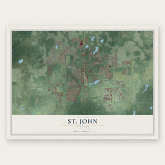
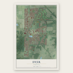
More maps nearby: Highland, Ross, Munster, Black Oak and Merrillville.
The art of mapping a place
How This Map Was Made
Real places. Remarkable detail. Discover the layers that turn geographic data into a map of home.

The view from above
Aerial imagery reveals the character of the land: woodland, open fields, and the patterns of a place.

The shape of the land
Elevation data brings hills, valleys, and subtle changes in the landscape into view.

The details of home
Roads, waterways, and building footprints come together to make the map feel unmistakably local.

Geography becomes art
Considered color, shading, and typography bring the layers together in a map made for your wall.


Process illustrated with Mendon, Massachusetts. Aerial imagery: USDA NAIP. Terrain: USGS 3D Elevation Program. Map details and finished artwork: KNOWOL.
The Details
About This Print
Choose an archival matte print, or a black or white Ayous wood frame. The archival matte print is unframed.
Select your size and finish above to see the matching product image and price.
Materials & Craftsmanship
A contemporary map with the character of a classic atlas, printed on archival matte paper. Optional frames are made from Ayous wood.
Your printed map does not include the watermark shown in the full-map preview.
Shipping & Delivery
Free shipping within the United States. Every print is made to order in the USA.
Buying a gift? Add a note in your cart and we'll include it. We never put prices in the package.
Prints ship within 2 to 3 business days. Allow 7 to 10 days total from ordering for delivery. Timing may vary during holidays or periods of high order volume.
Read our shipping policy.
Returns and damaged prints
Each print is made to order. Change-of-mind refunds are not available after production.
If your print arrives damaged, misprinted or incorrect, contact support@knowol.com within 30 days of receiving it. Include your order number, photos and a description of the issue.
Read our full refund and replacement policy. For questions about your order, email support@knowol.com.