
Search for another town

Free U.S. delivery 7 to 10 days after you order
St. John, Indiana Map Art
Building by building, with labeled streets and shaded relief.
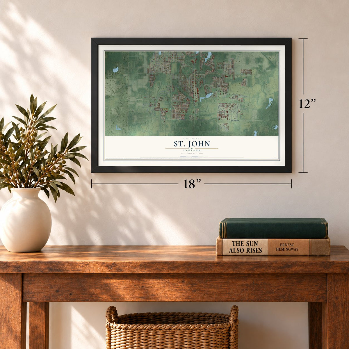
12" x 18" Archival Matte Print
A Map of Home. A Work of Art.
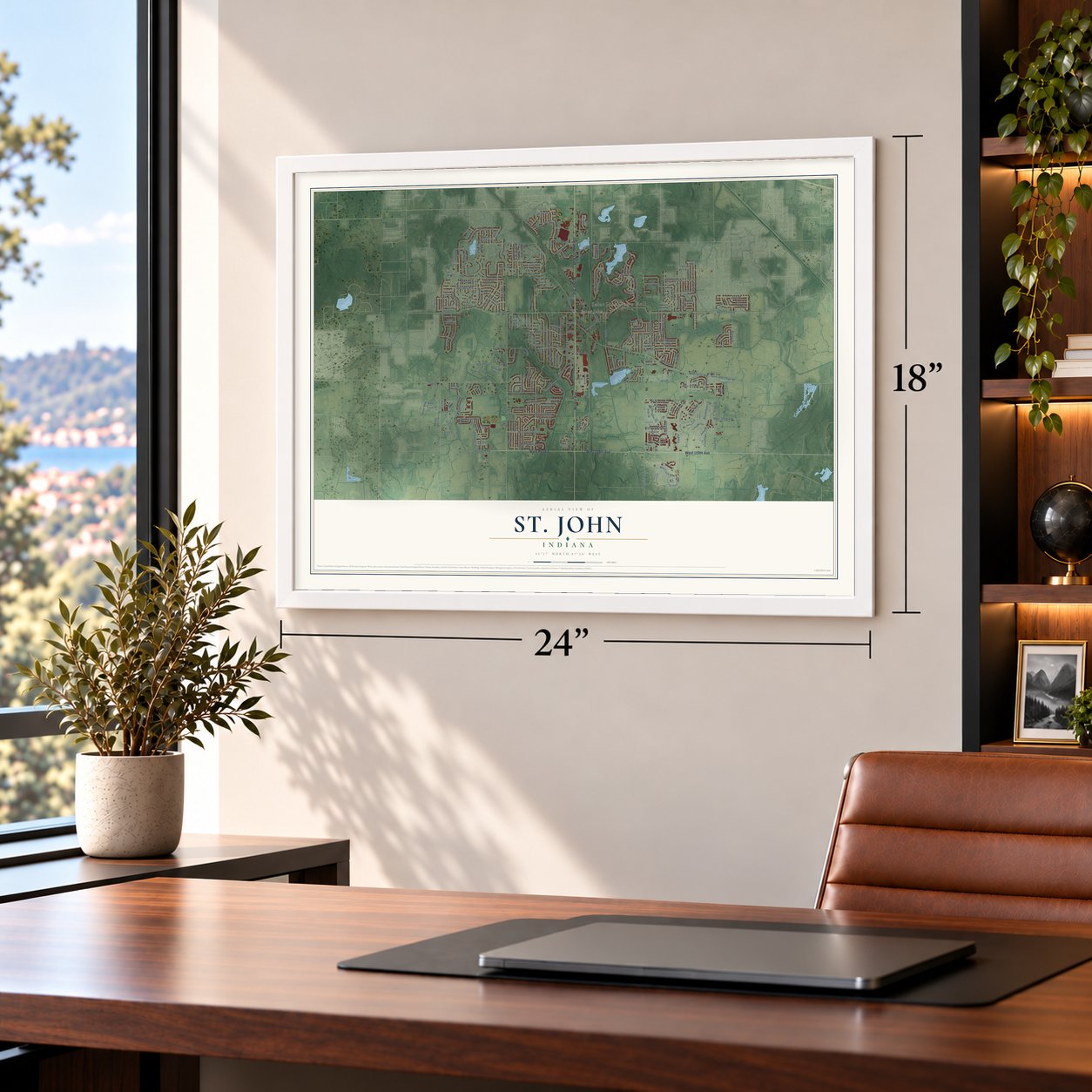
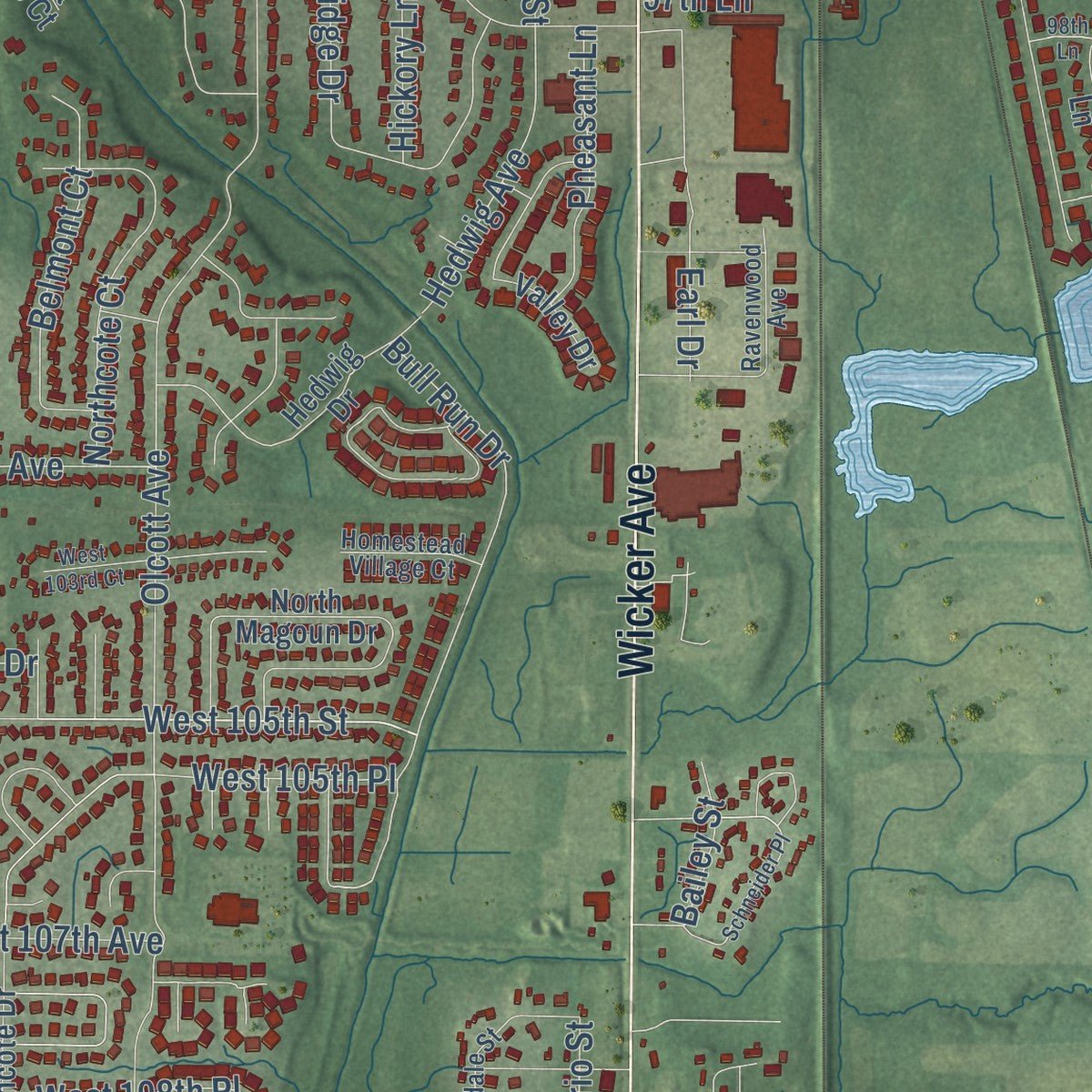
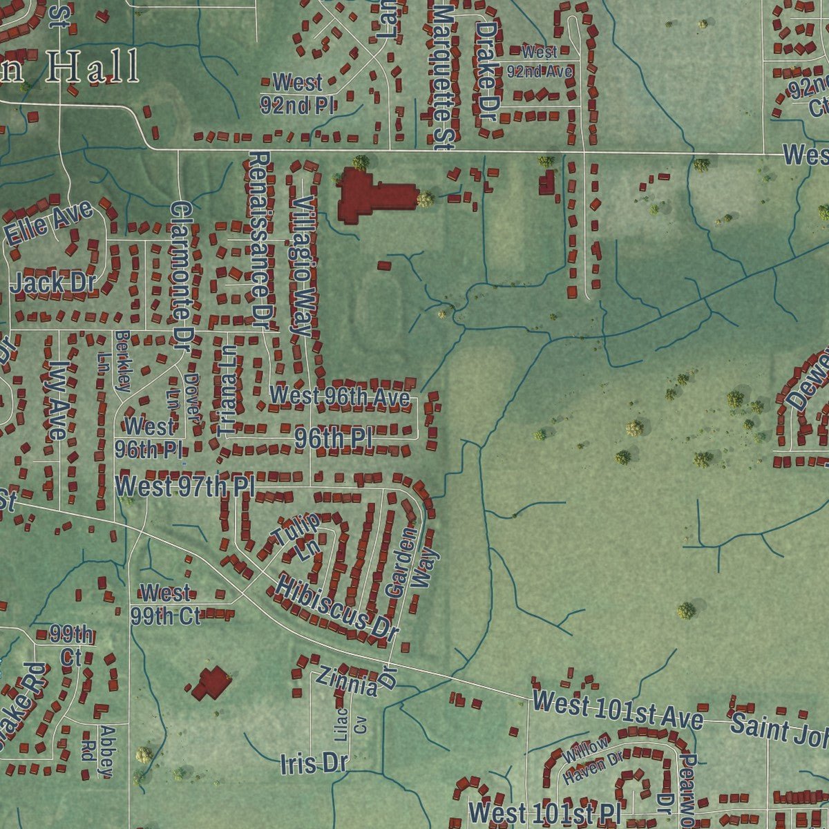
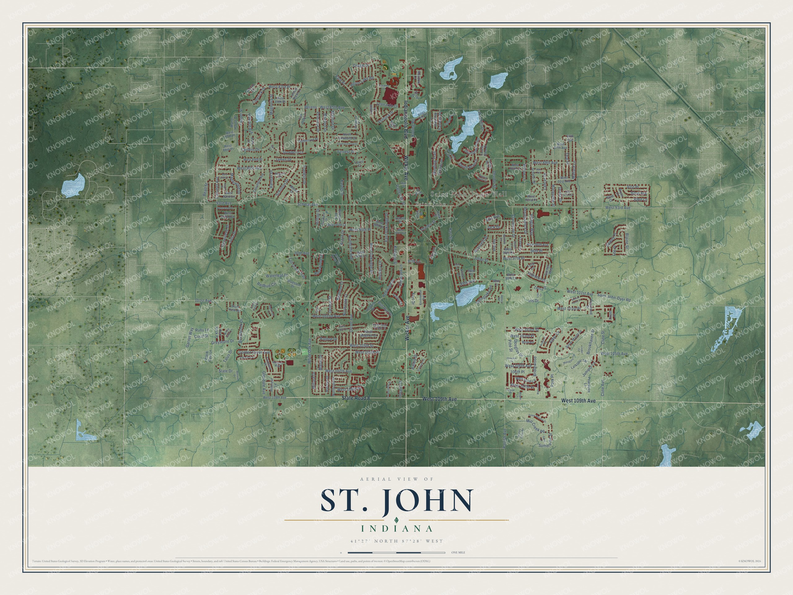
Explore St. John, Indiana from a whole new perspective. Created using aerial imagery and detailed geographic data, this map captures St. John building by building, with labeled streets, familiar landmarks, and shaded topographical relief that highlights the natural contours of the landscape.
Combining modern data with the timeless character of a vintage atlas, this map is just as interesting up close as it is beautiful on the wall. Whether you grew up in St. John, spent memorable years there, or call it home today, this unique map is a great way to celebrate a place that means something to you. Zoom in on the preview to look for your street, and then order a print to put your memories on the wall.
Three ways to hang it
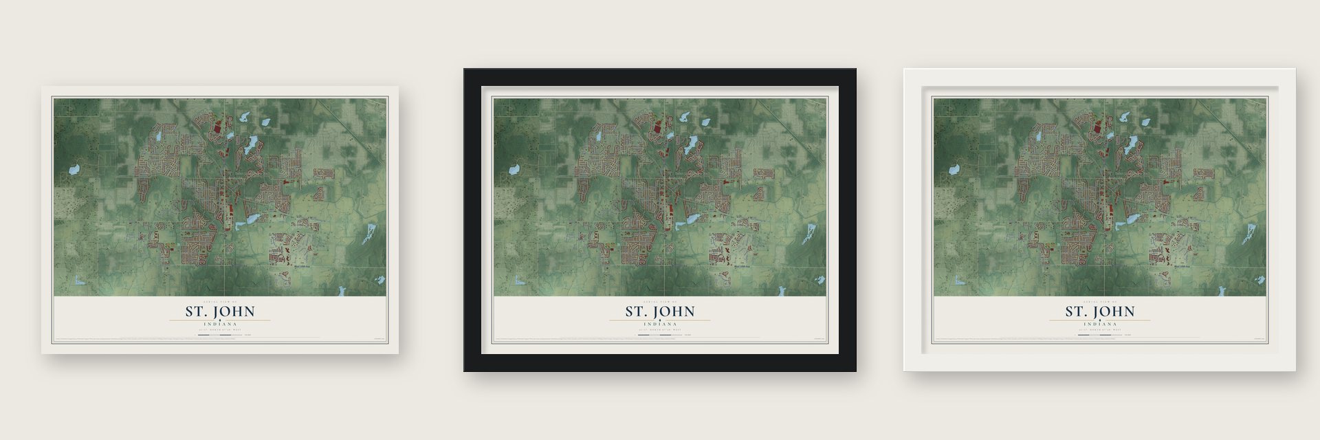
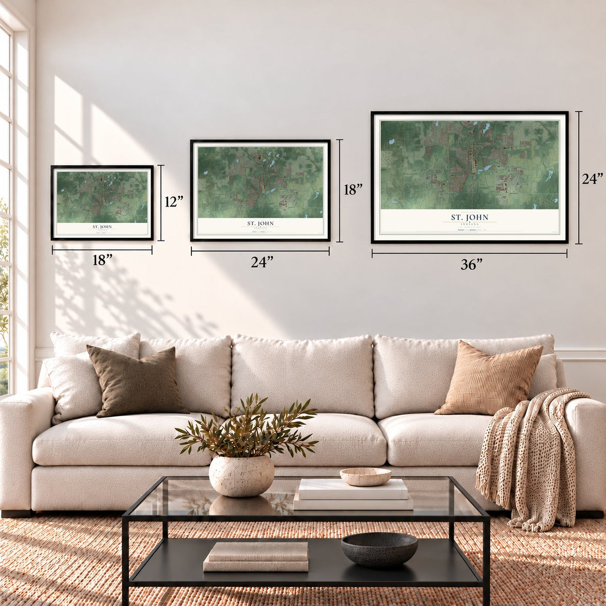
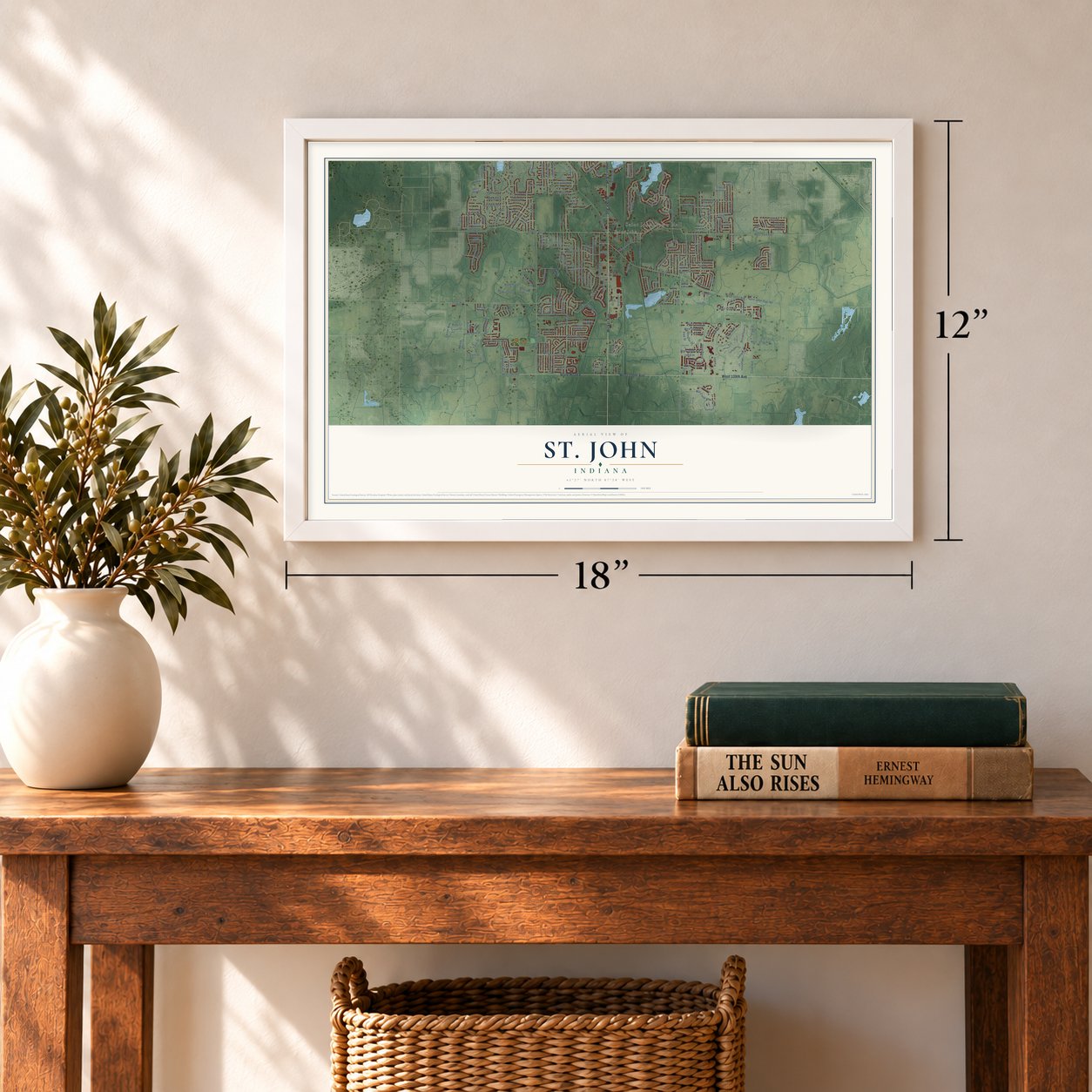
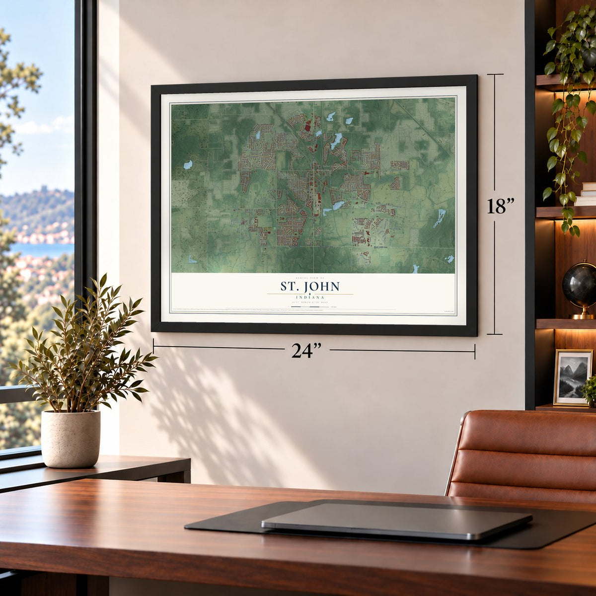
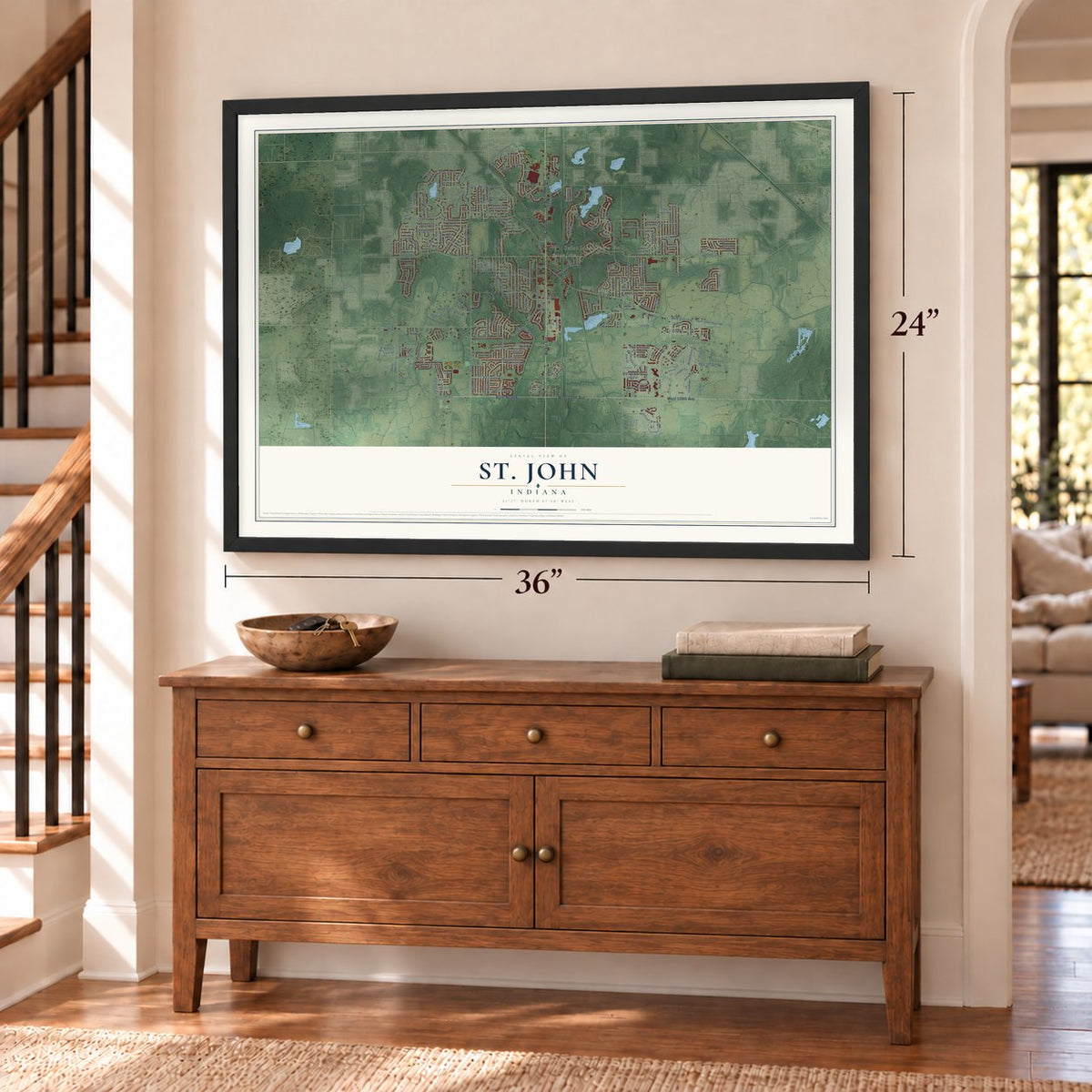
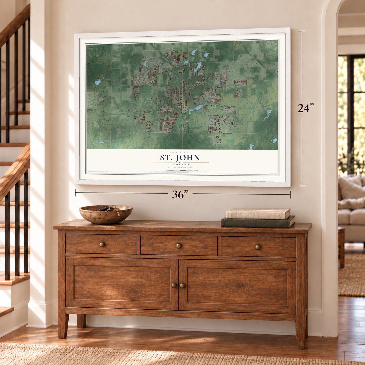
Unframed archival matte, a black wood frame or a white wood frame.
Up close
Geography Worth Displaying
This map was created using accurate cartographic data and authoritative geographic sources, including the U.S. Geological Survey and the Census Bureau. The map brings together terrain, waterways, roads, and building detail. The majority of the streets are labeled, houses are accurately depicted, and the topography is derived from government sources. Combining local data with carefully composed color and shading leads to this beautifully detailed St. John artwork for your wall.
Rather than simply showing street outlines, we’ve included as many of the street names as we could reasonably fit on the map while keeping their names legible. Zoom in on the high resolution preview to see exactly what’s on the map. We truly set out to create a statement piece for anyone who loves St. John. So whether it’s for you, or a gift for someone you love, we hope this map of St. John brings back fond memories.
Read the story behind this map of St. John, Indiana from 2026.
Find your street
Names on the St. John map
Every name below is printed on this map. Look for your street, your school, the park where you played, or the pond down the road.
Places and landmarks2
- Saint John Town Hall
- Saint John
Streets and roads252
- West 109th Avenue
- Wicker Avenue
- Indianapolis Boulevard
- State Road 8
- West 93rd Avenue
- White Oak Avenue
- Genevieve Drive
- Bridlewood
- West 105th Street
- Joliet Street
- 93rd Avenue
- Mallard Lane
- Julia Drive
- Slate Drive
- 101st Avenue
- Primrose Drive
- 99th Avenue
- West 103rd Place
- Lancer Drive
- Schmal Avenue
- Parrish Avenue
- Olcott Avenue
- West 101st Avenue
- Calumet Avenue
- West 105th Avenue
- West 85th Avenue
- Saint John-Dyer Road
- Park Place
- Cline Avenue
- West 90th Avenue
Show all 252 streets
- West 105th Place
- Patterson Street
- Blaine Street
- Cline Street
- West 107th Place
- West 95th Place
- Winding Trail
- Birchbrook Drive
- Hart Street
- Tapper Street
- West 101st Place
- West 107th Avenue
- West Oakridge Drive
- Berens
- Northcote Avenue
- West 89th Avenue
- Schillton Drive
- Bull Run Drive
- West 103rd Street
- Clarmonte Drive
- 91st Place
- Keilman Street
- Heron Lake Road
- Deodor Street
- Waterleaf Drive
- East Oakridge Drive
- Lantern Drive
- 96th Place
- Golden Grove Avenue
- Brookhaven Street
- Greystone Drive
- Earl Drive
- Osage Drive
- Monfort Drive
- Drake Drive
- Tall Grass Trail
- Northcote Court
- Villagio Way
- West 108th Place
- 92nd Avenue
- Mill Creek Road
- West 102nd Avenue
- Magnolia Street
- Belmont Court
- West 97th Place
- Ventura Drive
- Marquette Street
- Manor Drive
- Maplewood Drive
- Teal Place
- Franklin Drive
- Grasselli Drive
- Garnet Way
- Dewey Place
- Lake Hills Drive
- Renaissance Drive
- Hibiscus Drive
- Summerlin Street
- Millard Drive
- Hedwig Avenue
- 97th Avenue
- Redbud Circle
- Douglas Drive
- West 83rd Place
- 92nd Lane
- Pheasant Lane
- Thielen Street
- Lee Place
- James Drive
- Juniper Lane
- Randall Drive
- South Branch
- Willow Lane
- Limerick Drive
- Forrest Drive
- West 106th Avenue
- Bailey Street
- Kardel Drive
- Glendale Avenue
- 83rd Place
- Rosewood Drive
- Ivy Avenue
- Delmar Street
- Springlake Road
- Acorn Drive
- Overlook Point
- Alder Cv
- Howard Avenue
- Talus Drive
- Hickory Lane
- Pine Street
- Leonardo Drive
- Patnoe Drive
- Mattson Drive
- Elle Avenue
- Hilltop Drive
- Fairway Drive
- Jack Drive
- Coral Street
- Kolling Road
- Beall Street
- 106th Place
- Ruby Lane
- Ontario Street
- 97th Lane
- Iris Drive
- West 107th Lane
- 86th Avenue
- West 91st Avenue
- Manor House Drive
- Zinnia Drive
- West 96th Avenue
- Schafer Drive
- West 97th Lane
- Hillside Drive
- Northcote Drive
- Columbia Avenue
- Larkspur Terrace
- West 94th Place
- Maloian Drive
- Hedwig Drive
- West 94th Court
- Black Opal Lane
- West 92nd Lane
- West 87th Avenue
- Hillcrest Lane
- Monix Drive
- West 89th Place
- Kelly Drive
- Garden Way
- North Oakwood Drive
- Silver Maple Drive
- Alvina Rose Court
- Forest Glen Court
- West 96th Place
- Fairview Place
- Snowberry Lane
- Thiel Street
- North Magoun Drive
- Peachtree Lane
- Goldenrod Place
- Fair Oaks Lane
- West 90th Lane
- West 84th Place
- Belmont Avenue
- West 92nd Place
- Bluff View Road
- Lantern View Lane
- Tulip Lane
- Allison Lane
- Briar Lane
- West 99th Court
- West 94th Avenue
- Red Rock Place
- Muirfield Lane
- Park Lane
- Meadow Lane
- Triana Lane
- Valley Drive
- West 87th Place
- Pearwood Drive
- Bluestem Drive
- Hack Street
- Judith Lane
- Bryan Lane
- Civic Drive
- Declan Court
- Louis Court
- Privet Drive
- School Street
- West 88th Place
- 99th Court
- 98th Place
- Shell Drive
- 92nd Court
- White Sand Lane
- Crooked Bend
- Waverly Drive
- Empress Lane
- Wildwood Drive
- Bingo Lake Road
- Forestdale Street
- Burgess Way
- West 93rd Place
- Stonegate Drive
- Ravenwood Avenue
- Homestead Village Court
- Prairie Knoll Court
- Maple Lane
- Poplar Place
- Industrial Drive
- Woodland Drive
- West 95th Avenue
- Dover Lane
- Berkley Lane
- Sesame Street
- Wall Street
- Abbey Road
- 98th Lane
- Whitewater Crossing
- Schneider Place
- Willow Haven Drive
- Chestnut Cv
- West 92nd Avenue
- West 103rd Court
- Hickory Grove Road
- Mahogany Terrace
- Sagebrush Lane
- Green Meadow Drive
- 90th Avenue
- South Oakwood Drive
- Walnut Drive
- West 90th Court
- Daisy Lane
- Redwood Drive
- Maple Drive
- Lilac Cv
- Walsh Street
- Saddle Creek Drive
- Moraine Drive
- Linden Cv
- 88th Court
Names are listed as they appear on the printed map. Zoom into the product photos to find them.
About St. John, Indiana
St. John is a town of 20,303 people in Lake County, a southeastern suburb of Chicago that spreads across parts of St. John, Hanover and Center townships. John Hack, the first German immigrant to settle in Lake County, made his home on this ground in the 1830s, and the town counts 1837 as its founding year.
Hack went on to establish a Catholic church here, and it gave the community its name. When the St. John post office opened in 1846, the settlement took the name of Saint Johns Church, and the town has carried it ever since.
- The county's first Catholic churchThe church John Hack established in 1843 was the first Catholic church in Lake County. By 1939 it stood within the Lake County Fairgrounds at Crown Point.
- Shrine of Christ's PassionOpened in 2008, the shrine is an interactive display of the Passion of Christ. Its 40 life-size statues follow the story from the Agony in the Garden to the Resurrection, and it has drawn visitors from all 50 states and more than 40 countries.
- A Dutch Reformed high schoolIlliana Christian High School started out in Lansing, Illinois, and now stands in St. John. Dutch Reformed immigrants founded it for the Dutch American families of southern Cook County, Will County and Lake County.
Keep exploring Indiana
St. John is one of 1,023 Indiana towns we've mapped. Every dot on the map is a print of its own.
The search covers every state, Indiana first.
Near St. John
Order 2 or more town maps and save 10%. Shown in the size and finish you picked above, so they hang as a set.
- Schererville 12" x 18" / Archival Matte Print $39.99
- Dyer 12" x 18" / Archival Matte Print $39.99
- Cedar Lake 12" x 18" / Archival Matte Print $39.99
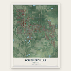
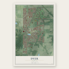
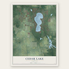
More maps nearby: Griffith, Crown Point, Highland, Munster and Lake Dalecarlia.
The art of mapping a place
How This Map Was Made
Real places. Remarkable detail. Discover the layers that turn geographic data into a map of home.

The view from above
Aerial imagery reveals the character of the land: woodland, open fields, and the patterns of a place.

The shape of the land
Elevation data brings hills, valleys, and subtle changes in the landscape into view.

The details of home
Roads, waterways, and building footprints come together to make the map feel unmistakably local.

Geography becomes art
Considered color, shading, and typography bring the layers together in a map made for your wall.


Process illustrated with Mendon, Massachusetts. Aerial imagery: USDA NAIP. Terrain: USGS 3D Elevation Program. Map details and finished artwork: KNOWOL.
The Details
About This Print
Choose an archival matte print, or a black or white Ayous wood frame. The archival matte print is unframed.
Select your size and finish above to see the matching product image and price.
Materials & Craftsmanship
A contemporary map with the character of a classic atlas, printed on archival matte paper. Optional frames are made from Ayous wood.
Your printed map does not include the watermark shown in the full-map preview.
Shipping & Delivery
Free shipping within the United States. Every print is made to order in the USA.
Buying a gift? Add a note in your cart and we'll include it. We never put prices in the package.
Prints ship within 2 to 3 business days. Allow 7 to 10 days total from ordering for delivery. Timing may vary during holidays or periods of high order volume.
Read our shipping policy.
Returns and damaged prints
Each print is made to order. Change-of-mind refunds are not available after production.
If your print arrives damaged, misprinted or incorrect, contact support@knowol.com within 30 days of receiving it. Include your order number, photos and a description of the issue.
Read our full refund and replacement policy. For questions about your order, email support@knowol.com.