
Search for another town

Free U.S. delivery 7 to 10 days after you order
Sedgefield, South Carolina Map Art
Building by building, with labeled streets and shaded relief.
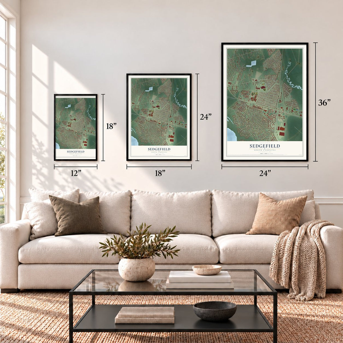
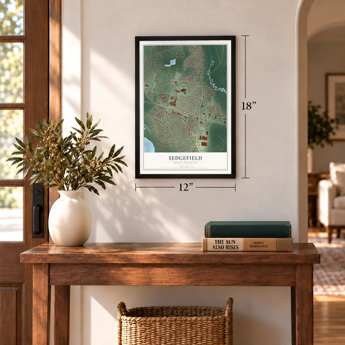
12" x 18" Archival Matte Print
A Map of Home. A Work of Art.
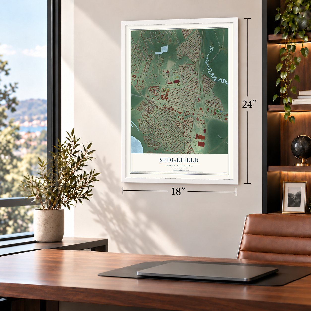
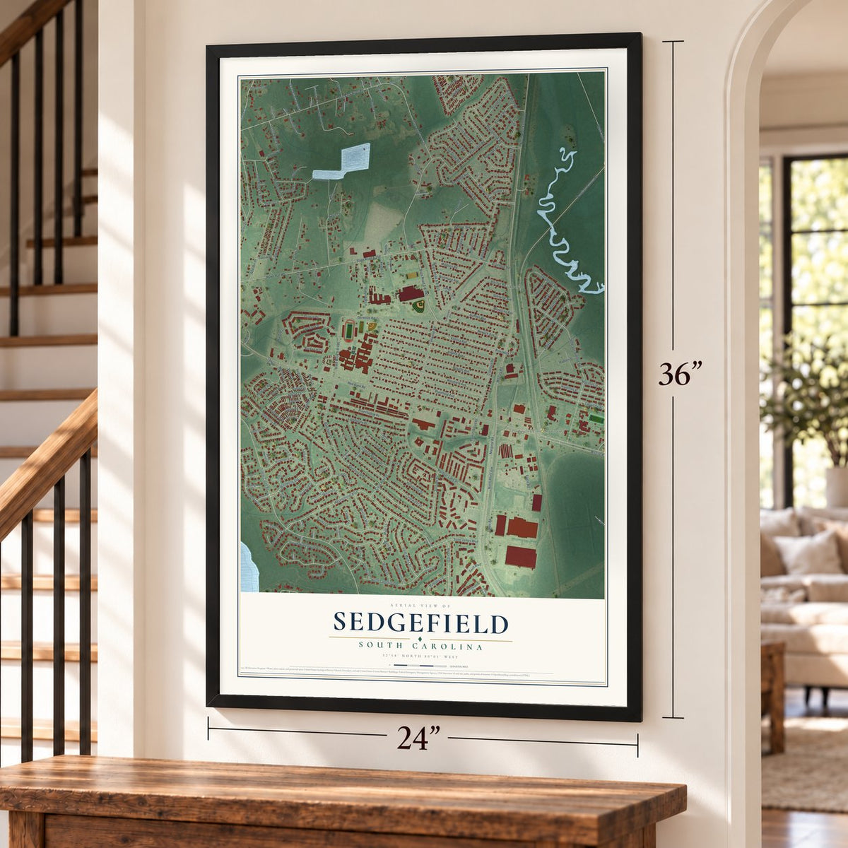
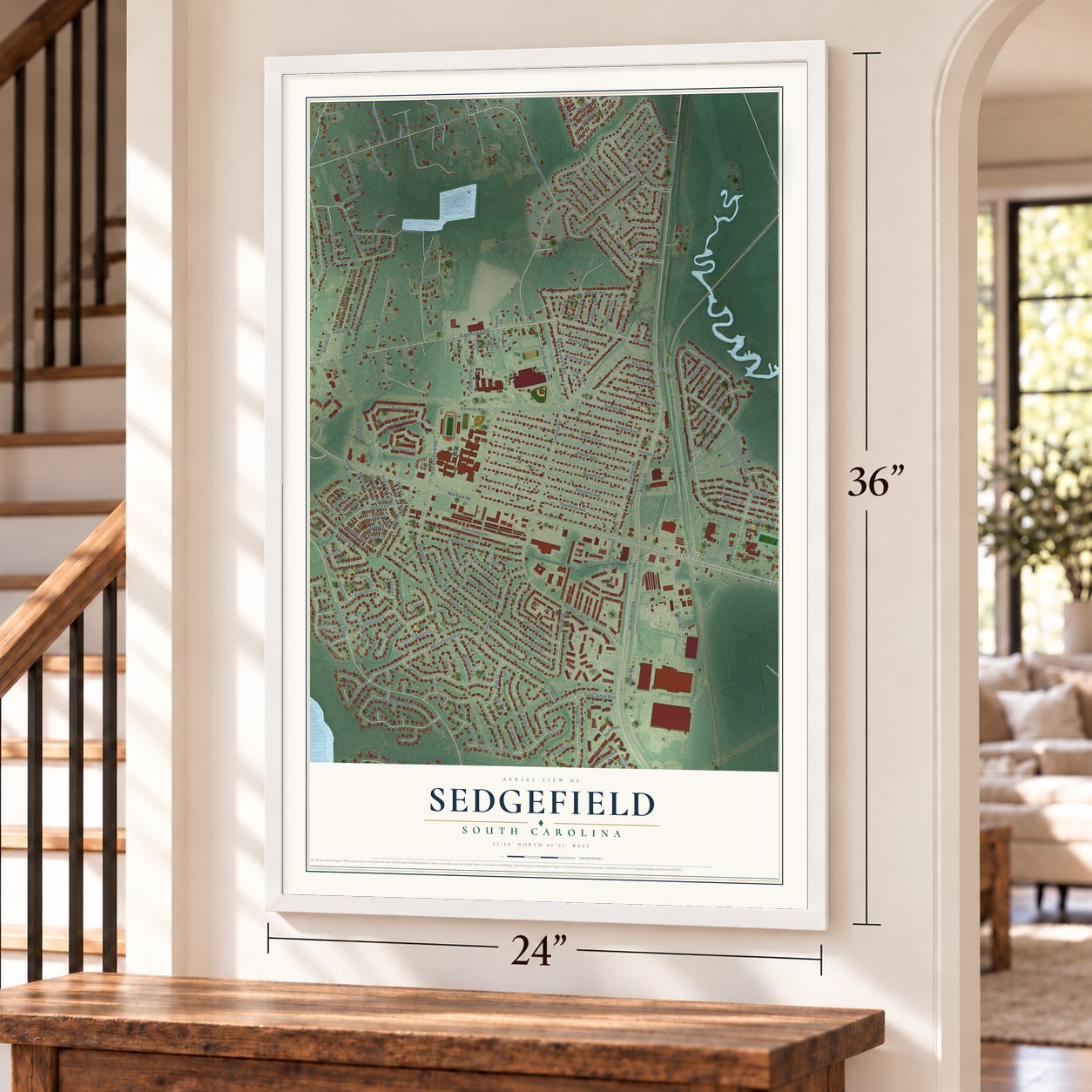
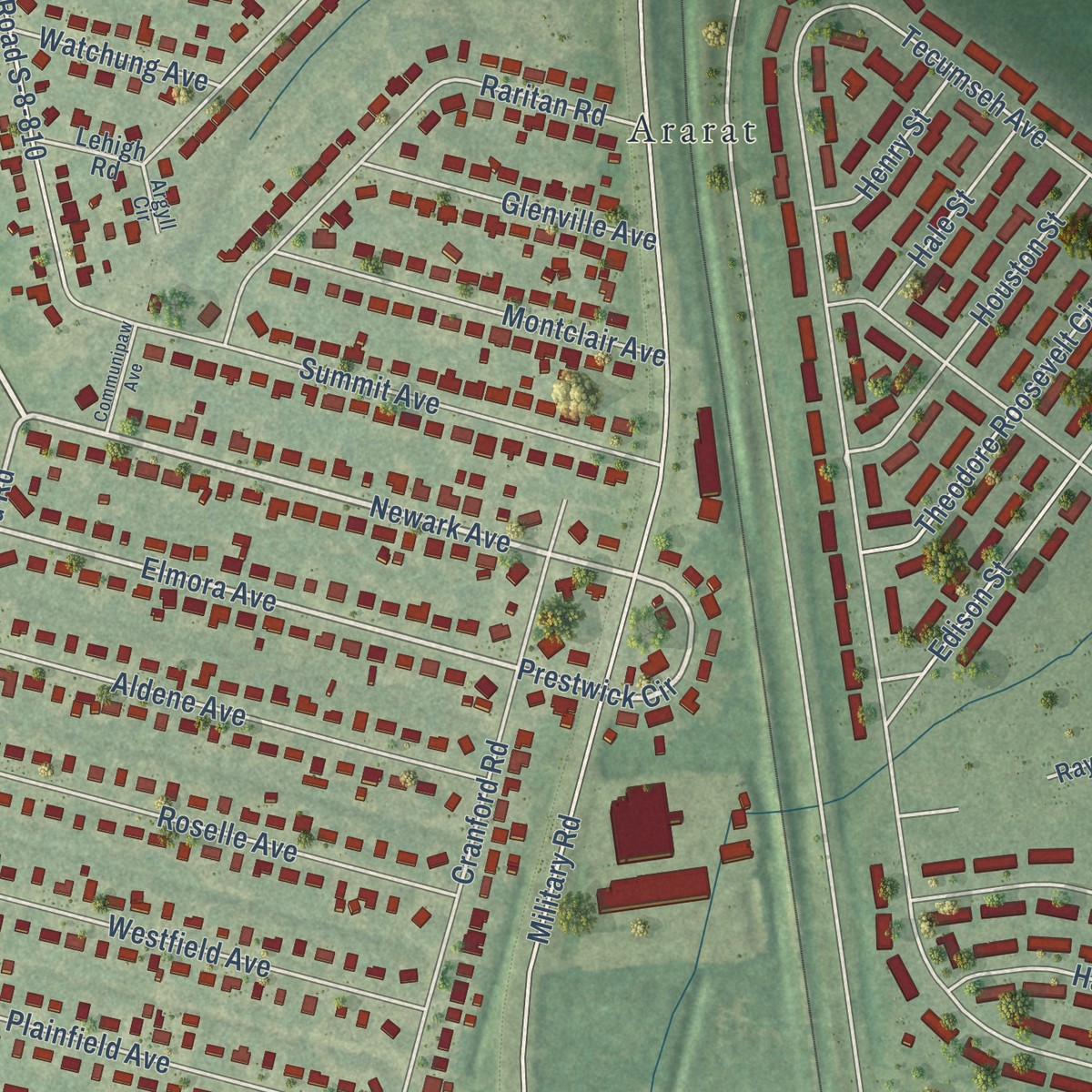
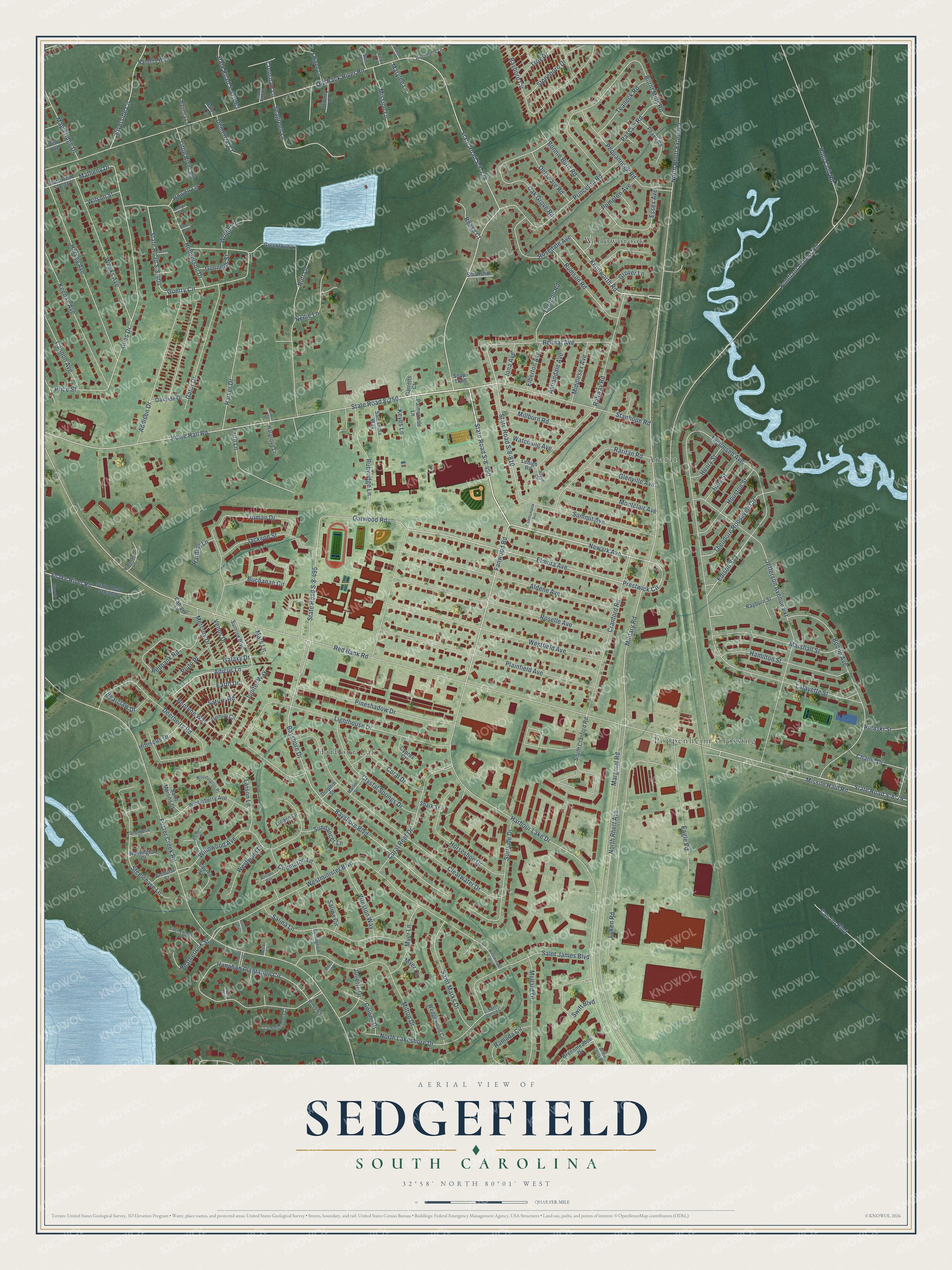
Explore Sedgefield, South Carolina from a whole new perspective. Created using aerial imagery and detailed geographic data, this map captures Sedgefield building by building, with labeled streets, familiar landmarks, and shaded topographical relief that highlights the natural contours of the landscape.
Combining modern data with the timeless character of a vintage atlas, this map is just as interesting up close as it is beautiful on the wall. Whether you grew up in Sedgefield, spent memorable years there, or call it home today, this unique map is a great way to celebrate a place that means something to you. Zoom in on the preview to look for your street, and then order a print to put your memories on the wall.
Three ways to hang it
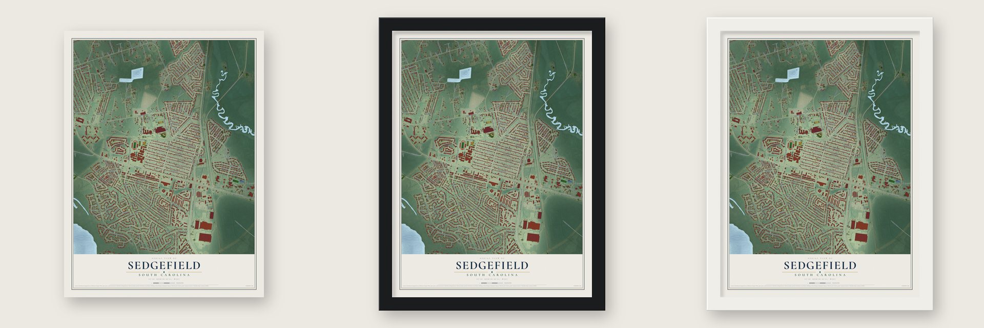
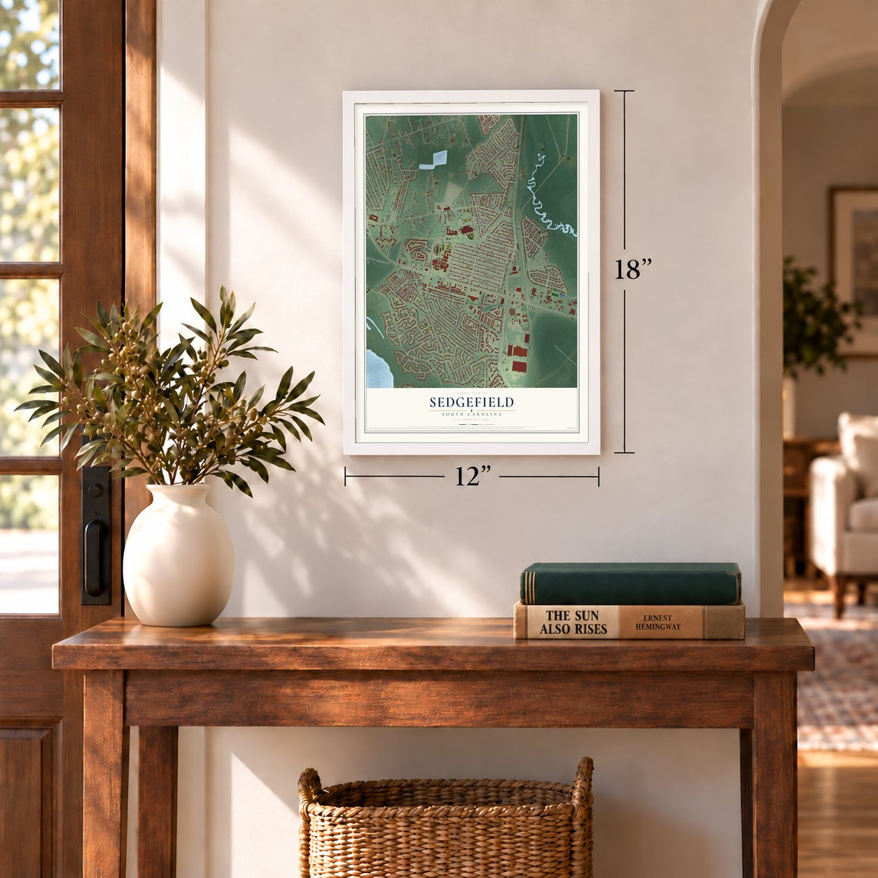
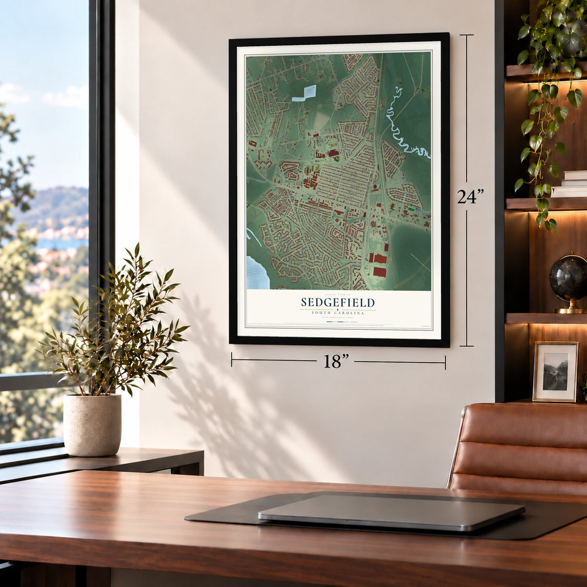
Unframed archival matte, a black wood frame or a white wood frame.
Up close
Geography Worth Displaying
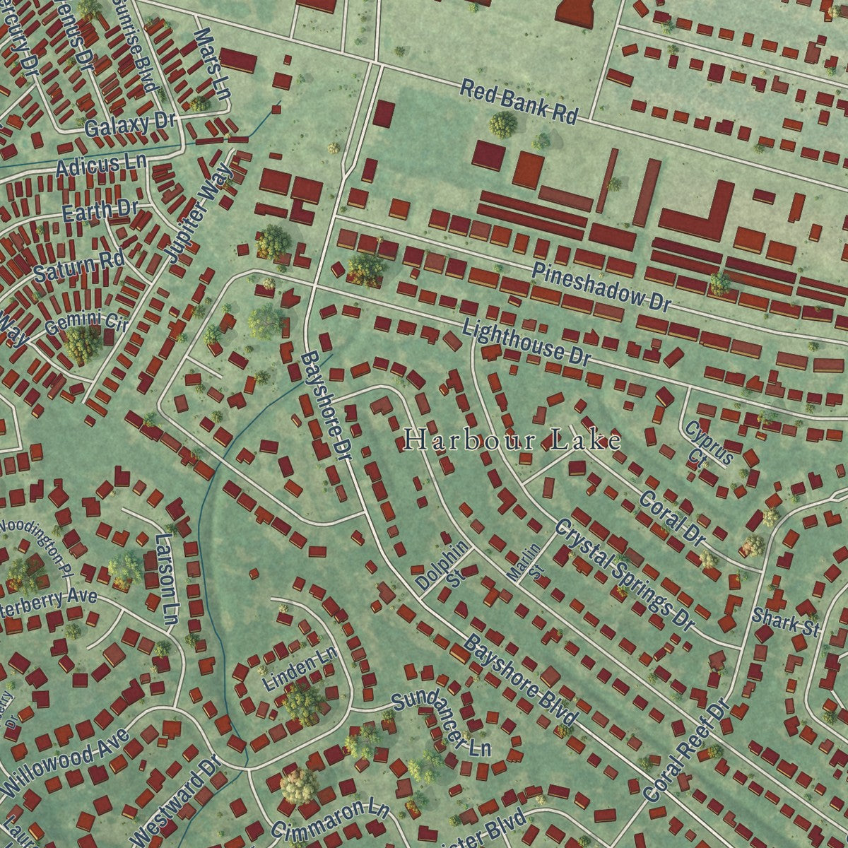
This map was created using accurate cartographic data and authoritative geographic sources, including the U.S. Geological Survey and the Census Bureau. The map brings together terrain, waterways, roads, and building detail. The majority of the streets are labeled, houses are accurately depicted, and the topography is derived from government sources. Combining local data with carefully composed color and shading leads to this beautifully detailed Sedgefield artwork for your wall.
Rather than simply showing street outlines, we’ve included as many of the street names as we could reasonably fit on the map while keeping their names legible. Zoom in on the high resolution preview to see exactly what’s on the map. We truly set out to create a statement piece for anyone who loves Sedgefield. So whether it’s for you, or a gift for someone you love, we hope this map of Sedgefield brings back fond memories.
Read the story behind this map: Detailed Map of Sedgefield, South Carolina.
Find your street
Names on the Sedgefield map
Every name below is printed on this map. Look for your street, your school, the park where you played, or the pond down the road.
Places and landmarks4
- Ararat
- Poppenheim Crossing
- Harbour Lake
- Willowbrook
Streets and roads223
- Howe Hall Road
- State Road 8-250
- State Road S-8-490
- Newark Avenue
- Kenilworth Road
- Prestwick Circle
- Adicus Lane
- Bonnie Burn Road
- Elmora Avenue
- Fanwood Road
- Crenshaw Lane
- Galaxy Drive
- Missile Haul Road
- Willowood Avenue
- State Road S-8-404
- Giles Drive
- State Road S-8-29
- Red Bank Road
- North Rhett Avenue
- Pomflant Access Road
- Old Back River Road
- Foster Creek Road
- Harbour Lake Drive
- Military Road
- Lafayette Street
- State Road S-8-724
- Bayshore Boulevard
- Garwood Road
- Bayshore Drive
- Westminister Boulevard
Show all 223 streets
- Jefferson Avenue Extension
- Lighthouse Drive
- Luken Road
- Summit Avenue
- Clearwater Drive
- Guerry Circle
- North Rhett Extended
- Hanahan Plantation Circle
- Burnt Mills Road
- Roselle Avenue
- Aldene Avenue
- Westfield Avenue
- Boone Avenue
- Plainfield Avenue
- Tecumseh Avenue
- Deerberry Road
- Rahway Road
- Hunt Club Road
- Truman Drive
- Harvey Avenue
- Milton Drive
- Riverside Circle
- State Road S-8-1063
- Cranford Road
- Marginal Road
- Bayboro Circle
- Rutt Lane
- Pineshadow Drive
- Addison Drive
- Stanhope Road
- Salina Lane
- Saint James Boulevard
- Princeton Road
- Weeks Avenue
- State Road S-8-810
- Keenan Avenue
- Coral Reef Drive
- Pequannock Road
- Steelchase Lane
- Eagle Road
- Buchanan Circle
- Redbank Road
- Surfside Drive
- Henderson Drive
- Hamilton Street
- North Lakeshore Drive
- Crystal Springs Drive
- Gator Drive
- Marshall Street
- Raritan Road
- Belmar Avenue
- Edison Street
- Horseshoe Drive
- Can Do Boulevard
- State Road S-8-495
- Saint Marks Drive
- Oak Grove Road
- Rubyridge Lane
- Seagreen Lane
- Mellard Drive
- Parker Drive
- Jackson Street
- Theodore Roosevelt Circle
- Swift Boulevard
- Snake River Road
- Faith Lane
- Rosedale Avenue
- Rumson Road
- Essex Avenue
- Montclair Avenue
- Houston Street
- Matheny Drive
- Jupiter Way
- Nellie Lane
- Cannon Avenue
- Myer Lane
- Millburn Road
- Winston Way
- Mapleridge Drive
- Teaneck Road
- Cimmaron Lane
- Coral Drive
- Glenville Avenue
- Price Street
- Ramada Circle
- Passaic Road
- Neptune Way
- Earth Drive
- Teenton Road
- Heatherlock Street
- Mission Lane
- Delaware Road
- Westward Drive
- Middlesex Avenue
- Juliette Drive
- Chapel Drive
- Stoneboro Drive
- Colony Drive
- Mercury Drive
- Annandale Avenue
- Hale Street
- Little River Road
- Bearclaw Drive
- Sundancer Lane
- Troy Drive
- Watchung Avenue
- Venus Drive
- Elberton Avenue
- Demetrial Court
- Pompton Avenue
- Pluto Place
- Hibiscus Drive
- Wright Lane
- Henry Street
- Keyes Lane
- Reese Court
- Larson Lane
- Mars Lane
- Gunnells Street
- Saturn Road
- Pulaski Street
- Iona Avenue
- Grover Lane
- Harding Lane
- Wilson Street
- Howell Lane
- Marylee Lane
- Salina Circle
- Myer Circle
- South Cranford Road
- Winterberry Avenue
- State Road S-8-208
- Greenlawn Lane
- Sunrise Boulevard
- State Road S-8-317
- Garretts Court
- Peach Road
- Effigee Lane
- Wedgewood Circle
- Greenmeadow Drive
- Samantha Way
- Oakside Drive
- Lauren Lane
- Rayburn Street
- Palmerside Lane
- Camper Lane
- Hargrove Lane
- Saint Martins Court
- Gemini Circle
- Stinney Lane
- Huntington Court
- Cyprus Court
- Raiders Way
- Amhurst Street
- Havella Lane
- Smallshill Lane
- Lehigh Road
- Dew Avenue
- Linden Lane
- Dolphin Street
- Shark Street
- Son Drive
- Ross Court
- Snap Trail
- Bales Lane
- Commissioners Court
- Woodington Place
- Cassandra Lane
- Castlewood Court
- Hallmark Drive
- Church Drive
- Saint James Circle
- Cottingham Lane
- Marlin Street
- Sherwood Court
- Argyll Circle
- Leroy Court
- Foster Court
- Burky Court
- Vicki Lane
- Westminster Boulevard
- Green Castle Drive
- Jahnz Drive
- Bayberry Drive
- Communipaw Avenue
- Whisper Way
- Isaac Abby Court
- Elinda Lane
- East Court
- Barrett Circle
- Jomac Lane
- Milton Court
- Short Court
Names are listed as they appear on the printed map. Zoom into the product photos to find them.
Keep exploring South Carolina
Sedgefield is one of 540 South Carolina towns we've mapped. Every dot on the map is a print of its own.
The search covers every state, South Carolina first.
Near Sedgefield
Order 2 or more town maps and save 10%. Shown in the size and finish you picked above, so they hang as a set.
- Goose Creek 12" x 18" / Archival Matte Print $39.99
- Hanahan 12" x 18" / Archival Matte Print $39.99
- Deer Park 12" x 18" / Archival Matte Print $39.99
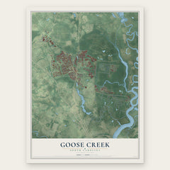
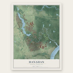
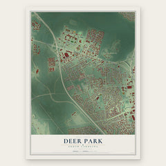
More maps nearby: Mount Holly, North Charleston, Ladson, Sangaree and Lincolnville.
The art of mapping a place
How This Map Was Made
Real places. Remarkable detail. Discover the layers that turn geographic data into a map of home.

The view from above
Aerial imagery reveals the character of the land: woodland, open fields, and the patterns of a place.

The shape of the land
Elevation data brings hills, valleys, and subtle changes in the landscape into view.

The details of home
Roads, waterways, and building footprints come together to make the map feel unmistakably local.

Geography becomes art
Considered color, shading, and typography bring the layers together in a map made for your wall.


Process illustrated with Mendon, Massachusetts. Aerial imagery: USDA NAIP. Terrain: USGS 3D Elevation Program. Map details and finished artwork: KNOWOL.
The Details
About This Print
Choose an archival matte print, or a black or white Ayous wood frame. The archival matte print is unframed.
Select your size and finish above to see the matching product image and price.
Materials & Craftsmanship
A contemporary map with the character of a classic atlas, printed on archival matte paper. Optional frames are made from Ayous wood.
Your printed map does not include the watermark shown in the full-map preview.
Shipping & Delivery
Free shipping within the United States. Every print is made to order in the USA.
Buying a gift? Add a note in your cart and we'll include it. We never put prices in the package.
Prints ship within 2 to 3 business days. Allow 7 to 10 days total from ordering for delivery. Timing may vary during holidays or periods of high order volume.
Read our shipping policy.
Returns and damaged prints
Each print is made to order. Change-of-mind refunds are not available after production.
If your print arrives damaged, misprinted or incorrect, contact support@knowol.com within 30 days of receiving it. Include your order number, photos and a description of the issue.
Read our full refund and replacement policy. For questions about your order, email support@knowol.com.