
Search for another town
Free U.S. delivery 7 to 10 days after you order
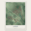
Ladson, South Carolina Map Art
Building by building, with labeled streets and shaded relief.
12" x 18" Archival Matte Print
A Map of Home. A Work of Art.
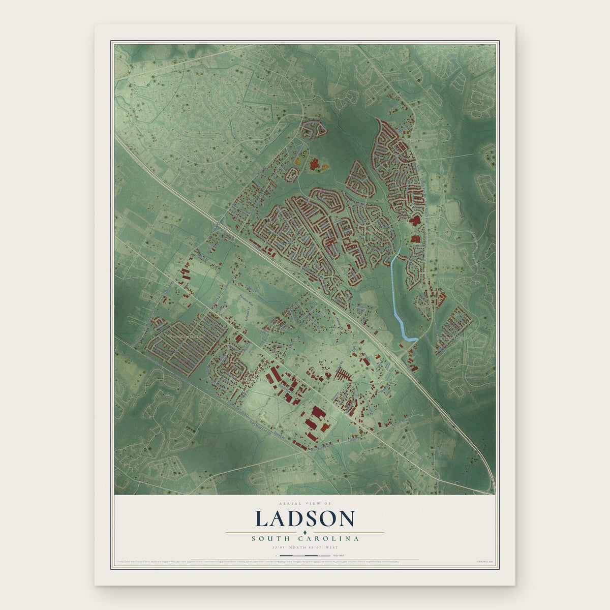
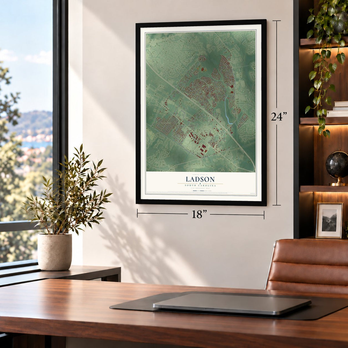
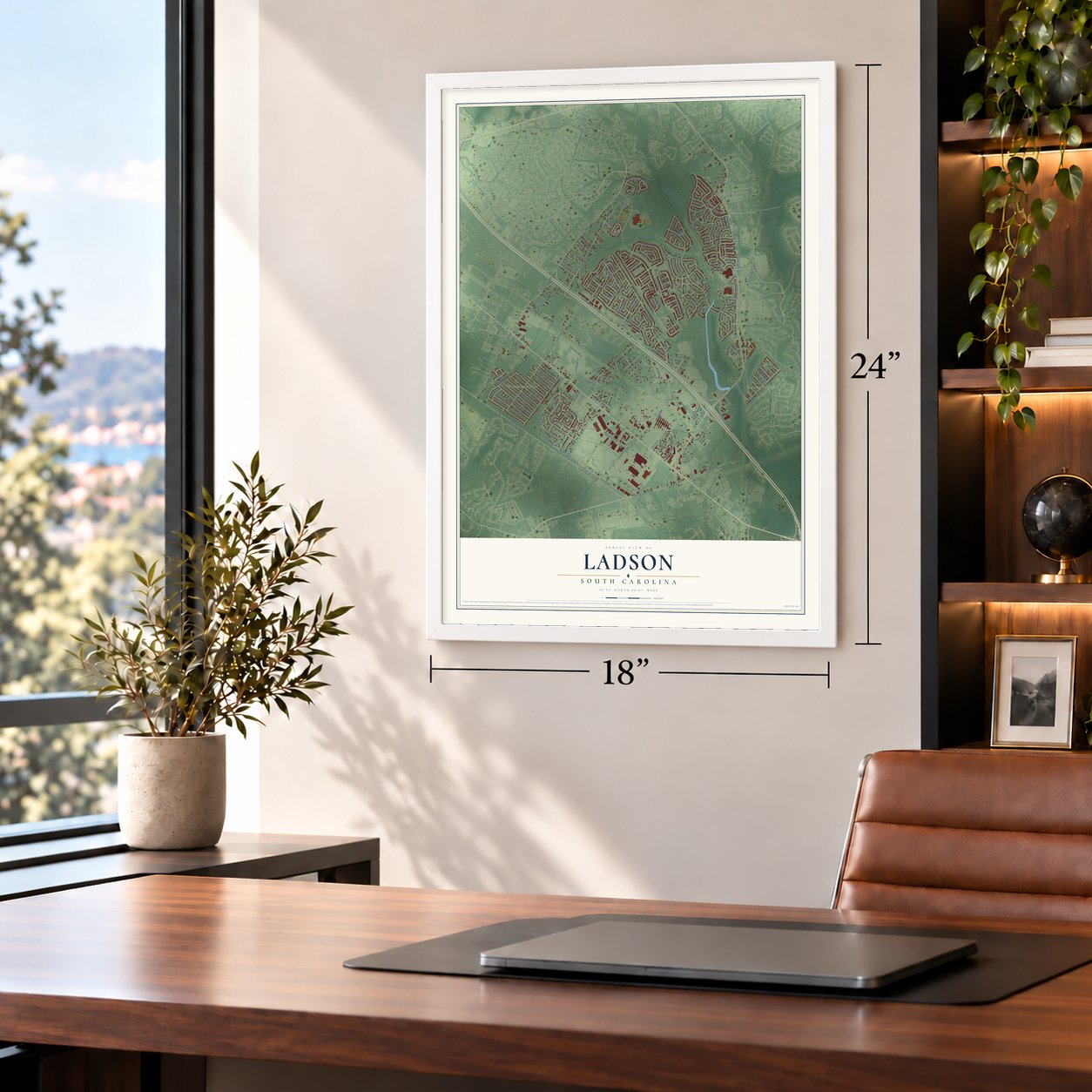
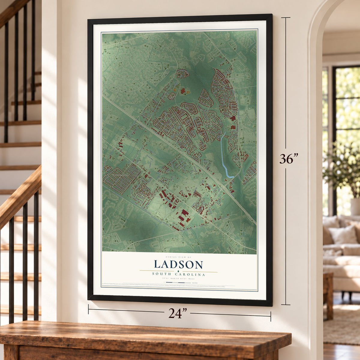
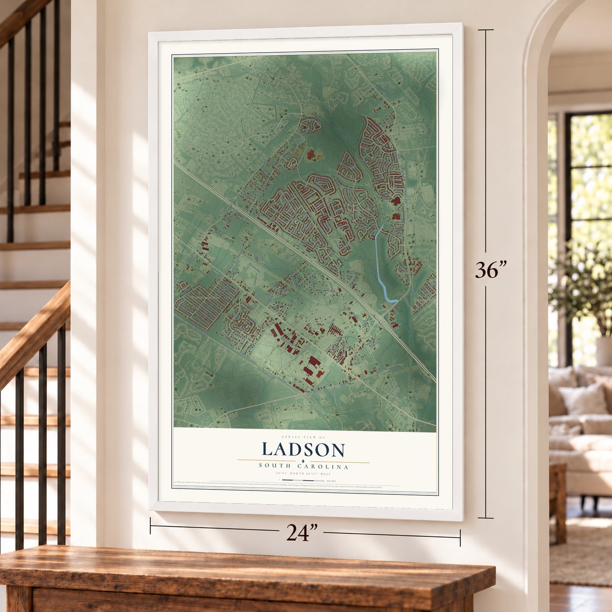
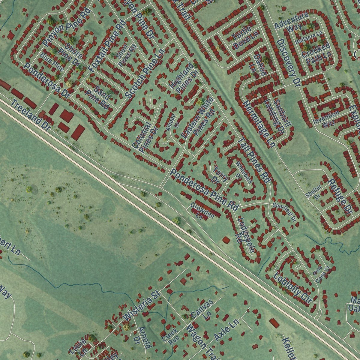
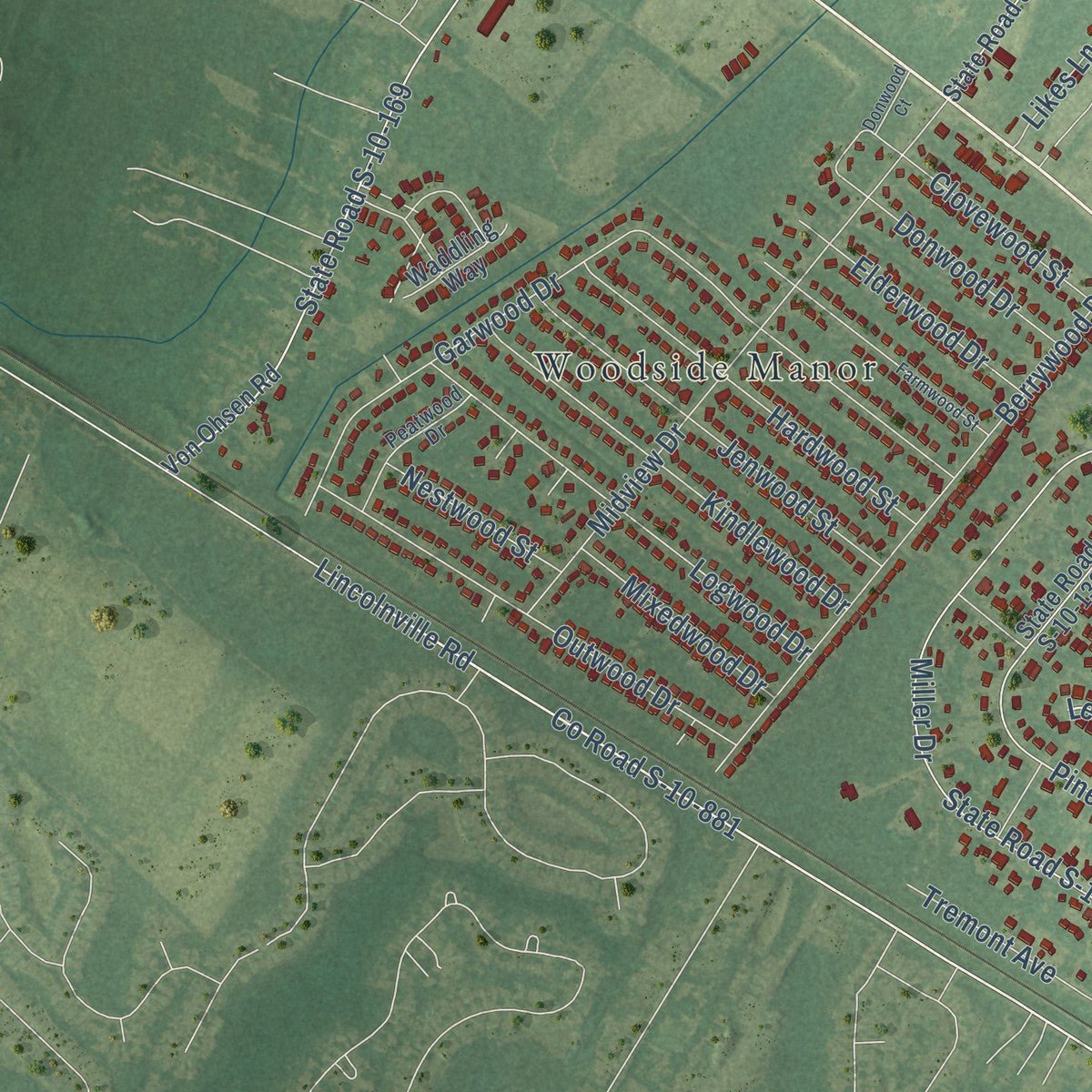
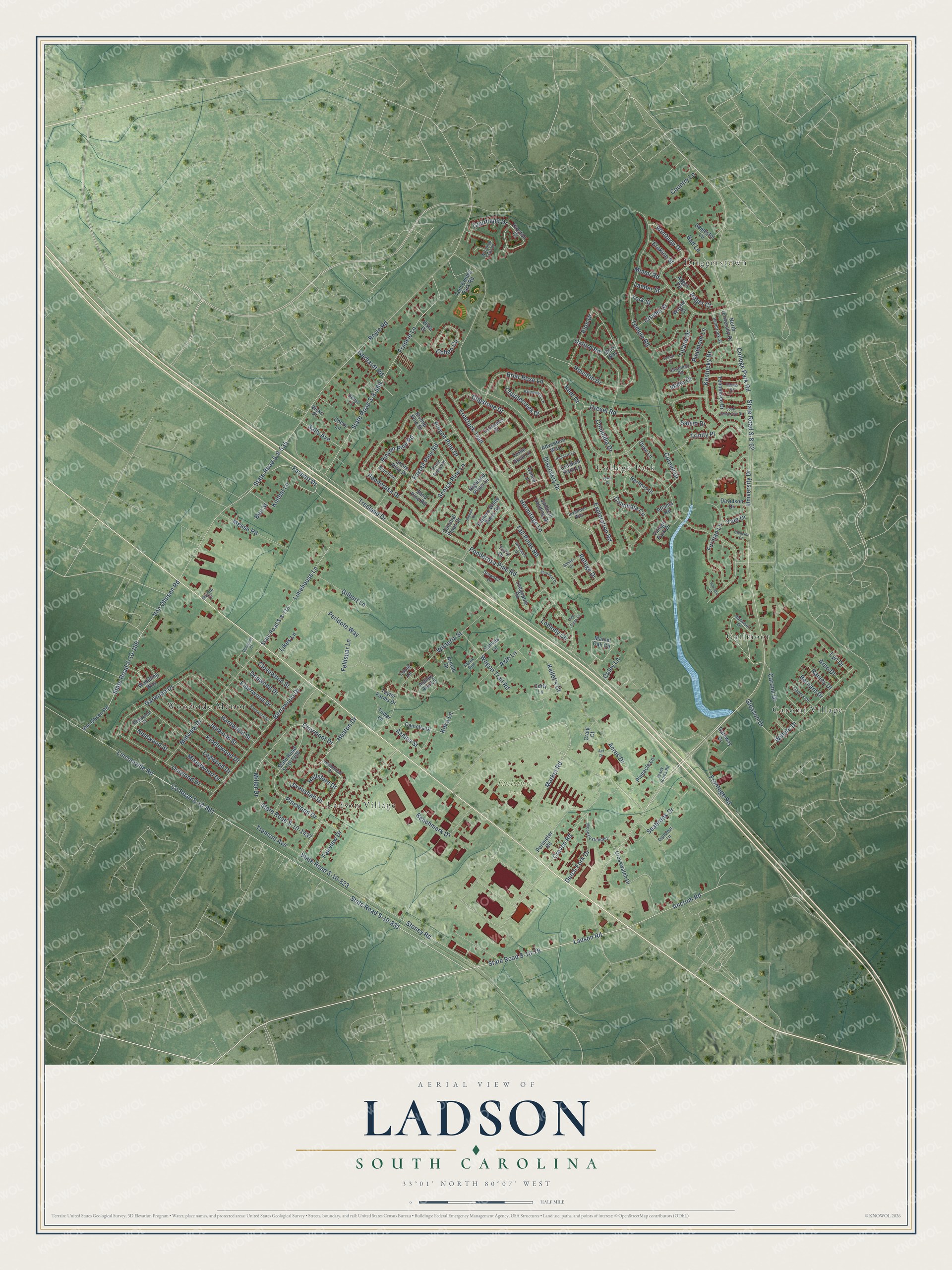
Explore Ladson, South Carolina from a whole new perspective. Created using aerial imagery and detailed geographic data, this map captures Ladson building by building, with labeled streets, familiar landmarks, and shaded topographical relief that highlights the natural contours of the landscape.
Combining modern data with the timeless character of a vintage atlas, this map is just as interesting up close as it is beautiful on the wall. Whether you grew up in Ladson, spent memorable years there, or call it home today, this unique map is a great way to celebrate a place that means something to you. Zoom in on the preview to look for your street, and then order a print to put your memories on the wall.
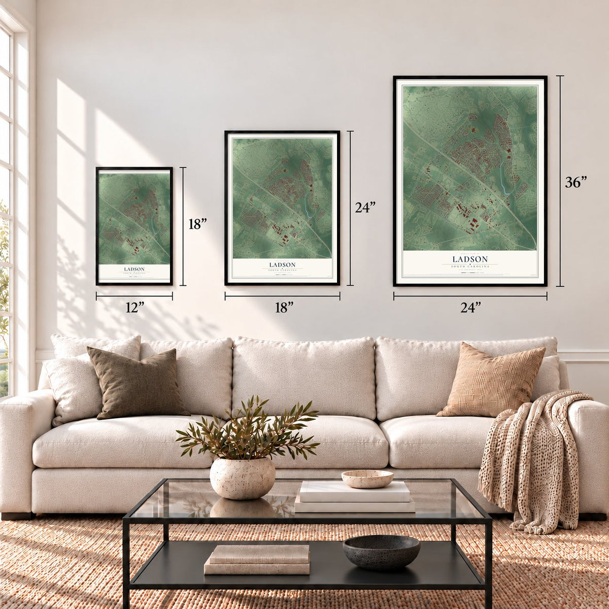
Three ways to hang it
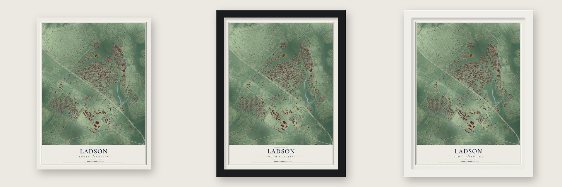
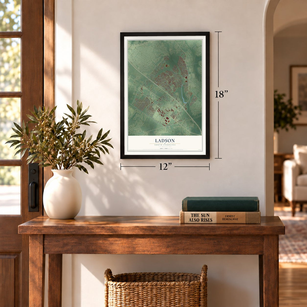
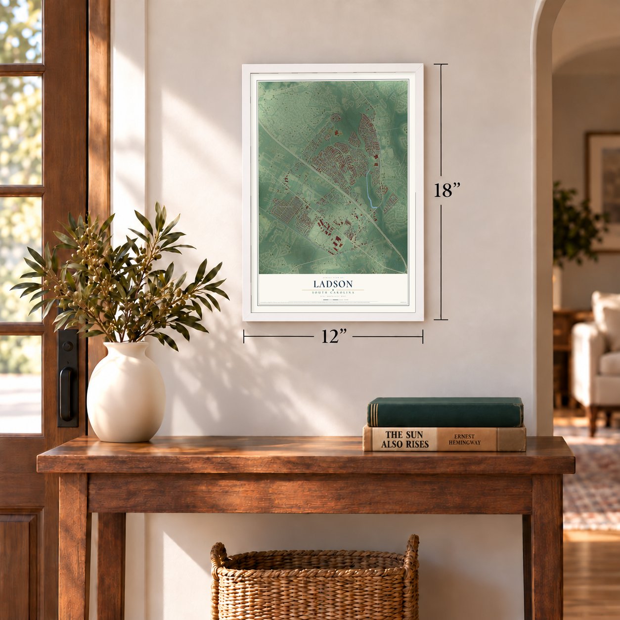
Unframed archival matte, a black wood frame or a white wood frame.
Up close
Geography Worth Displaying
This map was created using accurate cartographic data and authoritative geographic sources, including the U.S. Geological Survey and the Census Bureau. The map brings together terrain, waterways, roads, and building detail. The majority of the streets are labeled, houses are accurately depicted, and the topography is derived from government sources. Combining local data with carefully composed color and shading leads to this beautifully detailed Ladson artwork for your wall.
Rather than simply showing street outlines, we’ve included as many of the street names as we could reasonably fit on the map while keeping their names legible. Zoom in on the high resolution preview to see exactly what’s on the map. We truly set out to create a statement piece for anyone who loves Ladson. So whether it’s for you, or a gift for someone you love, we hope this map of Ladson brings back fond memories.
Read the story behind this map of Ladson, South Carolina from 2026.
Find your street
Names on the Ladson map
Every name below is printed on this map. Look for your street, your school, the park where you played, or the pond down the road.
Places and landmarks7
- Exchange Park
- Caromi Village
- College Park
- Driggerstown
- Gailmoor
- Ladson Village
- Woodside Manor
Streets and roads197
- Ladson Road
- State Road S-10-76
- Market Road
- Craven Road
- State Road S-8-62
- Discovery Drive
- Lincolnville Road
- State Road S-10-881
- Ancrum Road
- Heaton Drive
- Columbia Circle
- College Park Road
- Levenshall Drive
- Ponderosa Pine Road
- Clairmont Drive
- Treeland Drive
- Royle Road
- State Road S-8-535
- County Road S-10-881
- Oxford Road
- Tall Pines Road
- State Road S-10-1437
- Frankie Lane
- State Road S-8-569
- Hermitage Lane
- Ponderosa Drive
- Stoney Road
- State Road S-10-823
- Columbia Drive
- Acres Drive
Show all 197 streets
- Temple Road
- Pinewood Drive
- Garwood Drive
- Briar Rose Lane
- State Road S-10-169
- Von Ohnsen Road
- Houston Drive
- Cornell Drive
- Miller Drive
- Wisteria Street
- Clipstone Drive
- Berrywood Drive
- Midview Drive
- Pinyon Pine Drive
- Friartuck Trail
- Courtland Drive
- Limehouse Lane
- Wilhite Drive
- Kentucky Drive
- Miami Road
- Outwood Drive
- Peridote Way
- Logwood Drive
- Kindlewood Drive
- Favport Drive
- Trinity Place
- Jenwood Street
- Furman Lane
- Hardwood Street
- Seabrook Drive
- Salem Drive
- Exploration Road
- Caromi Drive
- Foxtail Pine Road
- Drexel Road
- Winthrop Drive
- University Drive
- Scotch Pine Lane
- Meese Road
- Wagon Trail Road
- Cripplecreek Drive
- Cohen Circle
- Benchmark Drive
- Coley Lane
- Fairview Drive
- Frontage Road
- Gilbert Lane
- Refuge Drive
- Feldspar Lane
- Tulane Drive
- Elon Drive
- Loblolly Circle
- Country Lane
- Tremont Avenue
- Pinyon Pine Road
- Kimbal Lane
- Elderwood Drive
- Mixedwood Drive
- Clovewood Street
- Donwood Drive
- Citadel Street
- Gleason Drive
- Dutch Fork Drive
- Sally Avenue
- Nestwood Street
- Koka Lane
- Azalea Street
- Hallsford Drive
- Axle Lane
- Piedmont Lane
- Lyn Drive
- Gerhardt Road
- Lander Street
- Arno Drive
- Idaho Court
- Kellet's Court
- Erskine Street
- Rainey Drive
- Bernard Drive
- Likes Lane
- Kent Court
- Yale Drive
- Adger Court
- Bud Lane
- York Street
- Bee Street
- State Road S-10-1306
- Von Ohsen Road
- Adventure Way
- State Road S-8-715
- North University Drive
- Crosswatch Drive
- Adger Circle
- Eastern White Pines Road
- Marvel Oak Circle
- Bishop Pine Drive
- Drayton Court
- Tom Conley Park Road
- Shore Pine Drive
- Taylor Farms Drive
- Hartford Drive
- Tower Lane
- Perimeter Road
- Sanborll Landing Drive
- Village Park Drive
- Semester Lane
- Crusades Street
- Camelia Drive
- Lodgepole Road
- Colonial Pines Drive
- Tennessee Drive
- Davidson Drive
- Gateway Drive
- Atlanta Road
- Ashley Ann Lane
- Sand Pine Road
- Highland Pines Drive
- Canvas Lane
- Pinnacle Lane
- Waddling Way
- Arnold Drive
- Curly Lane
- Turtle Dove Lane
- Craig Court
- Chevy Lane
- Crooked Path Lane
- Duke Lane
- Louie Lane
- Torry Drive
- Dahoo Lane
- Vista Drive
- Wayne Court
- Vicks Place
- Ohio Way
- Moses Extended
- Levanshall Drive
- Diplomat Lane
- Gailmoor Drive
- Savannah Road
- Winding Trail Lane
- Kinswood Lane
- Peatwood Drive
- Pembrook Street
- Invention Way
- Capers Drive
- Frank Jones Road
- Blue Pine
- Bettys Lane
- Growden Lane
- Creek Run
- Short Pines Road
- Texas Drive
- Styling Court
- South University Drive
- Farmwood Street
- Aleppo Drive
- Shortleaf Drive
- Pine Cone Court
- Halfacre Lane
- Shelter Drive
- Whitebark Drive
- Vassar Court
- Harvard Court
- Act Drive
- Donwood Court
- Iowa Court
- Clemson Court
Names are listed as they appear on the printed map. Zoom into the product photos to find them.
About Ladson, South Carolina
Ladson is a community of 15,550 people that stretches across three South Carolina counties: Berkeley, Charleston and Dorchester. It takes its name from the Ladson family, who were among the earliest planters and merchants around Charleston, and one of them, James Ladson, served as the state's lieutenant governor. Downtown Charleston lies 20 miles to the southeast, and Interstate 26 and U.S. Route 78 run side by side through the community.
- One school, three countiesAn account in The Roots and Recall described Ladson as a small town whose consolidated school served all three of its counties, Dorchester, Berkeley and Charleston.
- Smaller since 2000Ladson covered 8.6 square miles at the 2000 census. Summerville and North Charleston later annexed parts of it, and the Census Bureau now puts the community at 7.0 square miles, all of it land.
- Growing to 15,550The census counted 13,790 people in Ladson in 2010. By 2020 the count had climbed to 15,550.
Keep exploring South Carolina
Ladson is one of 540 South Carolina towns we've mapped. Every dot on the map is a print of its own.
The search covers every state, South Carolina first.
Near Ladson
Order 2 or more town maps and save 10%. Shown in the size and finish you picked above, so they hang as a set.
- Sangaree 12" x 18" / Archival Matte Print $39.99
- Lincolnville 12" x 18" / Archival Matte Print $39.99
- Deer Park 12" x 18" / Archival Matte Print $39.99
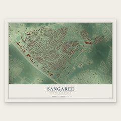
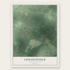
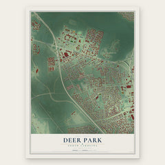
More maps nearby: Summerville, Mount Holly, Goose Creek, Sedgefield and North Charleston.
The art of mapping a place
How This Map Was Made
Real places. Remarkable detail. Discover the layers that turn geographic data into a map of home.

The view from above
Aerial imagery reveals the character of the land: woodland, open fields, and the patterns of a place.

The shape of the land
Elevation data brings hills, valleys, and subtle changes in the landscape into view.

The details of home
Roads, waterways, and building footprints come together to make the map feel unmistakably local.

Geography becomes art
Considered color, shading, and typography bring the layers together in a map made for your wall.


Process illustrated with Mendon, Massachusetts. Aerial imagery: USDA NAIP. Terrain: USGS 3D Elevation Program. Map details and finished artwork: KNOWOL.
The Details
About This Print
Choose an archival matte print, or a black or white Ayous wood frame. The archival matte print is unframed.
Select your size and finish above to see the matching product image and price.
Materials & Craftsmanship
A contemporary map with the character of a classic atlas, printed on archival matte paper. Optional frames are made from Ayous wood.
Your printed map does not include the watermark shown in the full-map preview.
Shipping & Delivery
Free shipping within the United States. Every print is made to order in the USA.
Buying a gift? Add a note in your cart and we'll include it. We never put prices in the package.
Prints ship within 2 to 3 business days. Allow 7 to 10 days total from ordering for delivery. Timing may vary during holidays or periods of high order volume.
Read our shipping policy.
Returns and damaged prints
Each print is made to order. Change-of-mind refunds are not available after production.
If your print arrives damaged, misprinted or incorrect, contact support@knowol.com within 30 days of receiving it. Include your order number, photos and a description of the issue.
Read our full refund and replacement policy. For questions about your order, email support@knowol.com.