
Search for another town





Free U.S. delivery 7 to 10 days after you order
Summerville, South Carolina Map Art
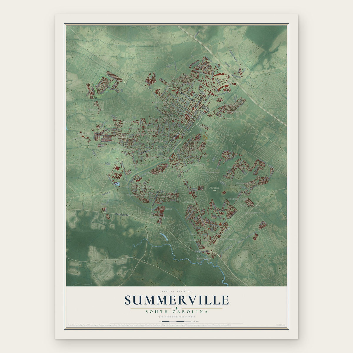
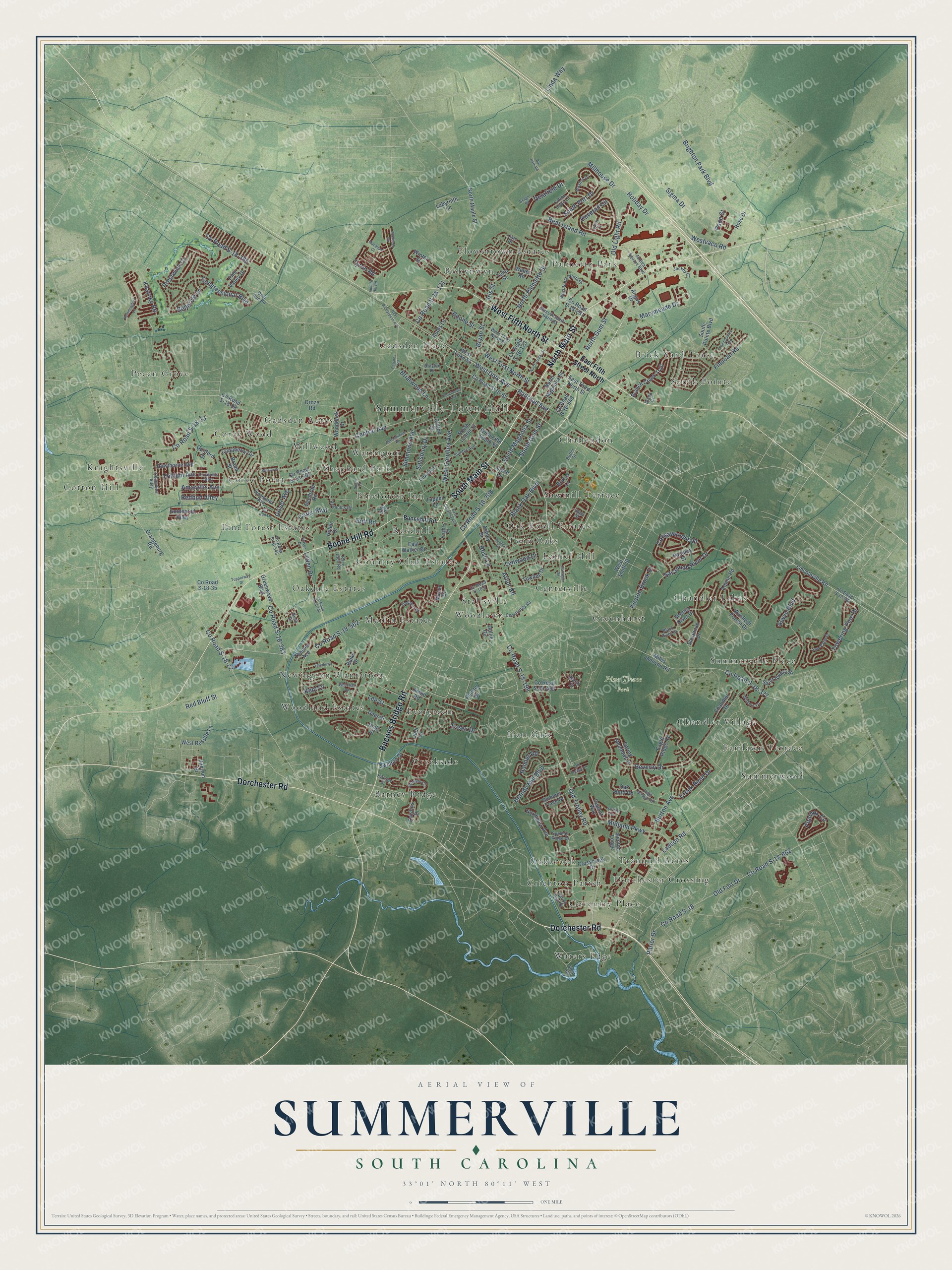
A new map of Summerville, South Carolina, made in 2026 and printed to order on thick archival matte paper.
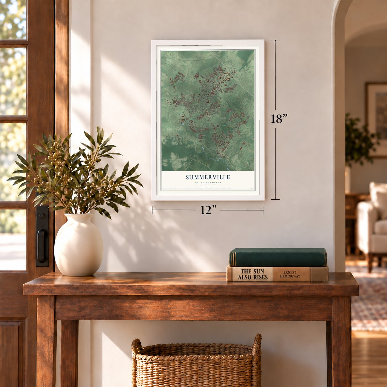
12" x 18" Archival Matte Print
A Map of Home. A Work of Art.
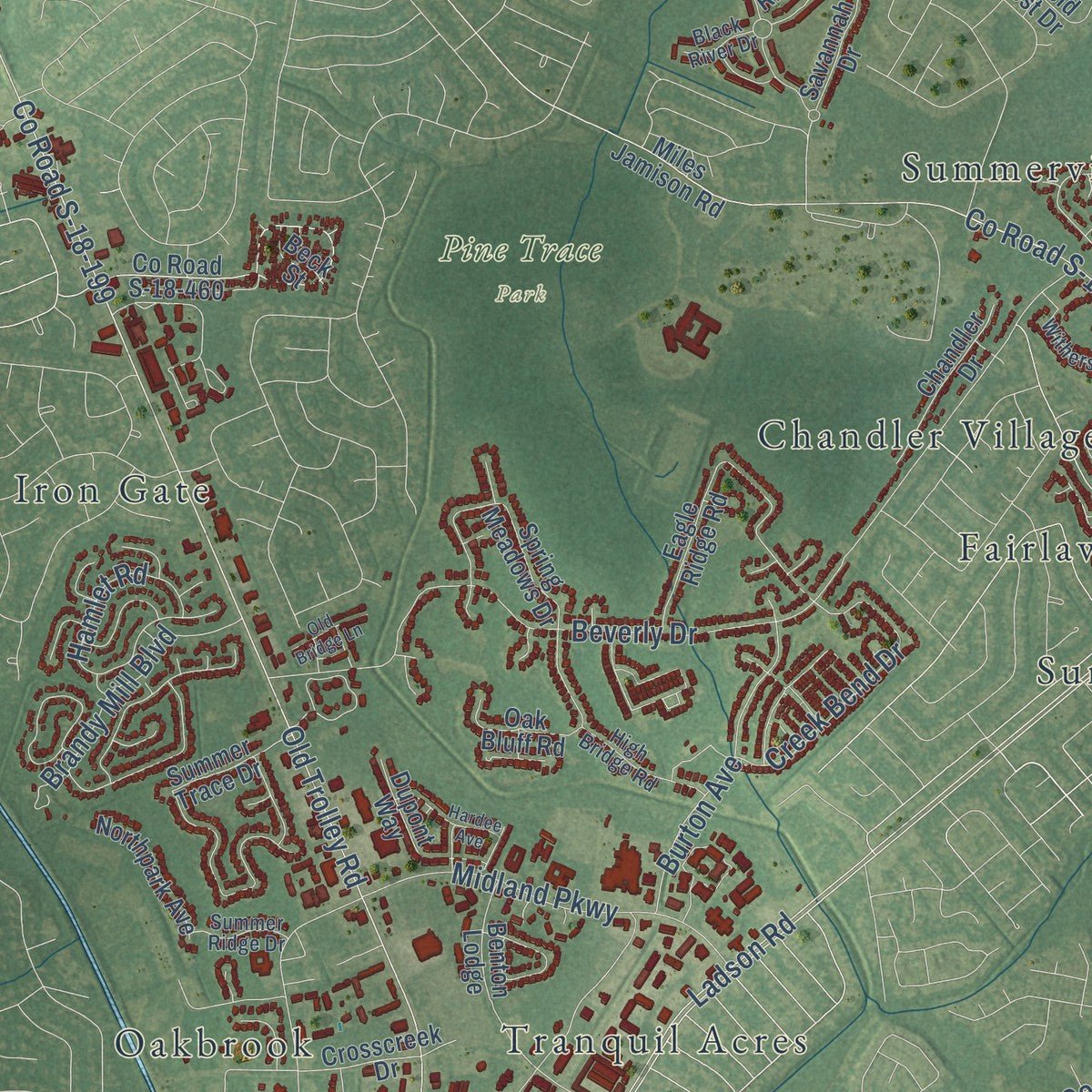
Explore Summerville, South Carolina from a whole new perspective. Created using aerial imagery and detailed geographic data, this map captures Summerville building by building, with labeled streets, familiar landmarks, and shaded topographical relief that highlights the natural contours of the landscape.
Combining modern data with the timeless character of a vintage atlas, this map is just as interesting up close as it is beautiful on the wall. Whether you grew up in Summerville, spent memorable years there, or call it home today, this unique map is a great way to celebrate a place that means something to you. Zoom in on the preview to look for your street, and then order a print to put your memories on the wall.
Three ways to hang it
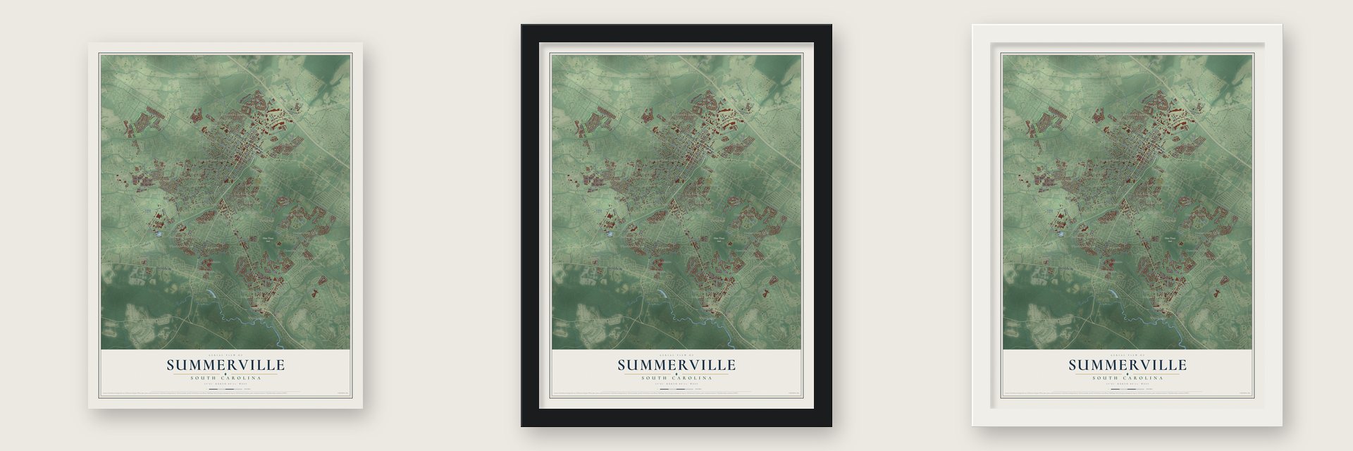
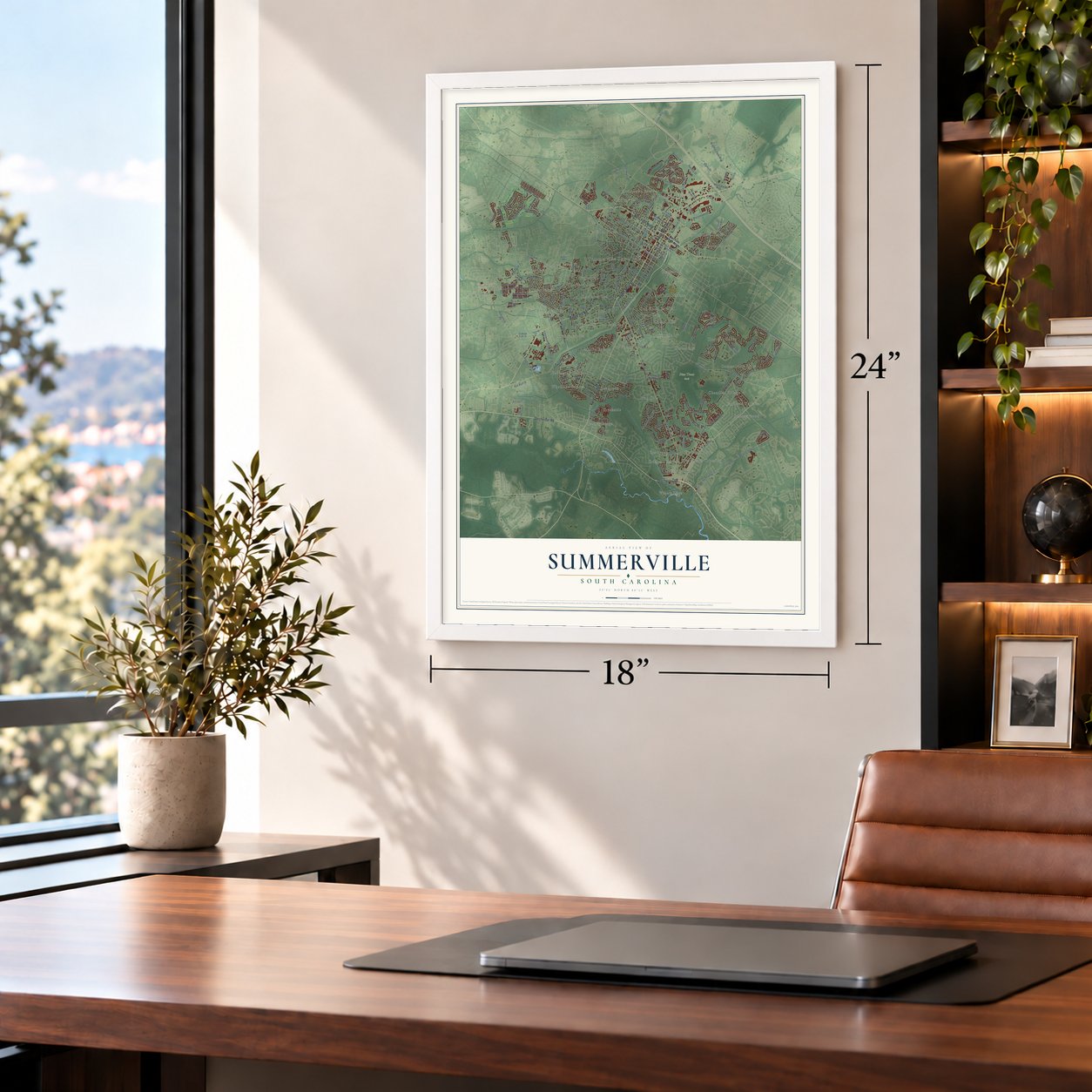
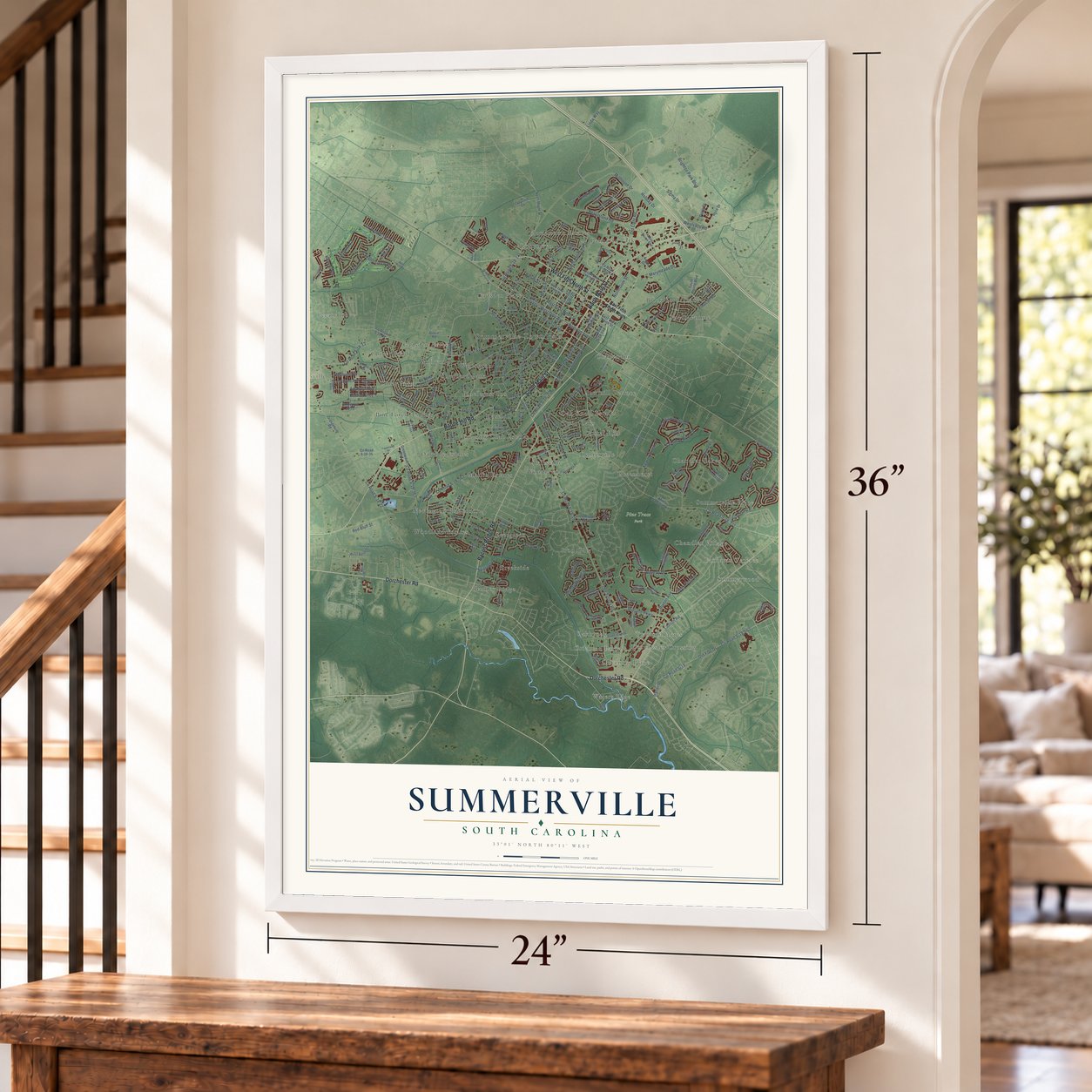
Unframed archival matte, a black wood frame or a white wood frame.
Up close
Geography Worth Displaying
This map was created using accurate cartographic data and authoritative geographic sources, including the U.S. Geological Survey and the Census Bureau. The map brings together terrain, waterways, roads, and building detail. The majority of the streets are labeled, houses are accurately depicted, and the topography is derived from government sources. Combining local data with carefully composed color and shading leads to this beautifully detailed Summerville artwork for your wall.
Rather than simply showing street outlines, we’ve included as many of the street names as we could reasonably fit on the map while keeping their names legible. Zoom in on the high resolution preview to see exactly what’s on the map. We truly set out to create a statement piece for anyone who loves Summerville. So whether it’s for you, or a gift for someone you love, we hope this map of Summerville brings back fond memories.
Read the story behind this map of Summerville, South Carolina from 2026.

About Summerville, South Carolina
Summerville is a town of 50,915 people, mostly in Dorchester County, with small parts in Berkeley and Charleston Counties. Its first settlement, called Pineland Village in 1785, grew up after the Revolutionary War. Charleston planters started spending the hot months here to get away from insects and the swamp fever they carried. John Micheal Guy, a Charleston native, founded the town for the same reasons.
Summerville was incorporated on December 17, 1847. That same year it banned cutting trees without permission and fined anyone who did it $25. The town seal still reads "Sacra Pinus Esto," or The Pine is Sacred. In 1899 an international medical congress named Summerville one of the two best places in the world to recover from lung and throat illness. Doctors praised its dry, sandy ground and its pines, and the praise helped the town grow.
- Earthquake and fire, 1886The Charleston earthquake of 1886 shook Summerville and started a fire that left many buildings on the town square in ruins. The town sits in the Middleton Place-Summerville seismic zone, the most active in South Carolina.
- Flower Town in the PinesBecause of its flowers, the Chamber of Commerce took up "Flower Town in the Pines" as the town's motto in 1925. Since 1972 the town and the Summerville Family YMCA have held the Flowertown Festival in Summerville Azalea Park each spring. It is the state's largest arts and crafts festival. About 200 artists show their work, and about 200,000 people come over three days.
- Birthplace of Sweet TeaSummerville calls itself the birthplace of sweet tea. Doubters point to Housekeeping in Old Virginia, an 1879 cookbook by Marion Cabell of Texas, which already printed a recipe for sweet iced tea.
- A post office mural from 1939Summerville's former post office, built in 1938, holds a mural Bernadine Custer painted in 1939, titled Train Time-Summerville. The federal government paid for it through the Treasury Department's art program, which commissioned post office murals across the country.
Find your street
Names on the Summerville map
Every name below is printed on this map. Look for your street, your school, the park where you played, or the pond down the road.
Places and landmarks49
- Summerville Town Hall
- Pine Trace Park
- Barney Ridge
- Brick Yard Trace
- Centerville
- Challendon
- Chandler Lakes
- Chandler Village
- Corey Point
- Corey Wood
- Cotton Hill
- Country Club Estates
Show all 49 places
- Coventry Place
- Creekside
- Crichton Parish
- Dorchester Crossing
- Evergreen
- Fairlawn Terrace
- Flowertown Estates
- Gadsden Acres
- Gadsden Place
- Greenhurst
- Iron Gate
- Knightsville
- Laurel Hill
- Marlin Estates
- Millwood
- Newington Plantation
- Oak Knoll Estates
- Oakbrook
- Oakdale Estates
- Palmetto Park
- Pecan Grove
- Pine Forest Estates
- Pineforest Inn
- Robynwyn
- Rosehill
- Sawmill Terrace
- Shephard Park
- South Pointe
- Stallsville
- Summerville Place
- Summerwood
- Tranquil Acres
- Twin Oaks
- Warington
- Waters Edge
- Woodland Estates
- Woodlawn
Streets and roads221
- North Main Street
- South Main Street
- Dorchester Road
- Boone Hill Road
- Bacons Bridge Road
- West Fifth North Street
- Holiday Drive
- West Doty Avenue
- North Gum Street
- Delafield Drive
- North Palmetto Street
- South Gum Street
- Railroad Avenue
- Old Trolley Road
- County Road S-18-199
- Central Avenue
- Ladson Road
- County Road S-18-13
- County Road S-18-562
- County Road S-18-208
- Beverly Drive
- Congressional Boulevard
- Brighton Park Boulevard
- Simmons Avenue
- Alwyn Boulevard
- County Road S-18-131
- County Road S-18-22
- Savannah River Drive
- South Magnolia Street
- West Carolina Avenue
Show all 221 streets
- West First North Street
- County Road S-18-377
- Sigma Drive
- County Road S-18-363
- Black Oak Boulevard
- Red Bluff Street
- Essex Drive
- Dovetail Circle
- County Road S-18-662
- Old Fort Drive
- Old Light Road
- Coosawatchie Street
- South Port Drive
- Marymeade Drive
- Midland Parkway
- Millhouse Drive
- Kilarney Road
- Hamlet Road
- Equinox Circle
- Creek Bend Drive
- County Road S-18
- Parlor Drive
- Burton Avenue
- Luden Drive
- Bear Island Road
- County Road S-18-785
- Brandy Mill Boulevard
- Finucan Road
- Corey Boulevard
- Linda Way
- Prestwick Court
- Rose Lane
- Trillium Avenue
- Keaton Brook Drive
- Amaryllis Avenue
- Towering Pine Drive
- Briarwood Lane
- Bryan Street
- Salisbury Drive
- Golf Road
- Driver Avenue
- Lenwood Drive
- Westvaco Road
- Lee Street
- Boone Street
- Arbor Road
- Redbud Alley
- Bellerive Lane
- Tyron Road
- Pace Street
- Kent Court
- Iris Street
- East Fifth Street North
- County Road S-10-65
- South Pointe Boulevard
- East Third North Street
- West Smith Street
- North Maple Street
- Orangeburg Road
- County Road S-18-123
- West Luke Street
- Greenwave Boulevard
- Canaberry Circle
- North Magnolia Street
- Wynfield Forest Drive
- Winter Street
- South Laurel Street
- County Road S-18-460
- County Road S-18-302
- Eagle Ridge Road
- Miles Jamison Road
- West Respite Lane
- County Road S-18-251
- Labyrinth Lane
- Saint Awdry Street
- Lincolnville Road
- Benton Lodge
- Seneca River Drive
- Spring Meadows Drive
- Crosscreek Drive
- Branch Creek Trail
- Oak Bluff Road
- County Road S-18-58
- Towhee Drive
- Ashley Drive
- Guilford Drive
- Alpine Road
- Chandler Drive
- County Road S-18-35
- Dupont Way
- Goldenrod Alley
- Hawthorne Avenue
- Pine Valley Drive
- Rose Drive
- Pacolet Street
- Dollie Circle
- Woodduck Drive
- Deer Street
- Northpark Avenue
- Brutus Lane
- Droze Road
- Aulds Lane
- Helen Drive
- Joyce Lane
- Sandtrap Road
- Angus Drive
- Rawlins Drive
- Jimbo Road
- Tupper Lane
- Summer Trace Drive
- County Road S-18-648
- Thames Avenue
- Tulip Street
- Bradd Street
- Swinton Drive
- Savannah Drive
- Weber Road
- West Fifth South Street
- East Walker Drive
- Clifton Street
- Pointer Drive
- Blake Drive
- Ilderton Street
- Holly Street
- Manor Drive
- Beck Street
- Jedi Lane
- Boonehill Road
- Woodward Boulevard
- West Ninth North Street
- Sumter Avenue
- Dolphin Drive
- West Third North Street
- County Road S-10-881
- Parish Parc Drive
- Balsam Circle
- Azalea Square Boulevard
- Linwood Lane
- Lilac Drive
- Cotton Hope Lane
- West Seventh North Street
- Community Road
- Shop Road
- Celandine Alley
- Corabells Alley
- County Road S-18-9
- Reynolds Road
- Diana Court
- High Bridge Road
- Kirksey Drive
- Withers Lane
- Saw Palm Drive
- Waylon Drive
- County Road S-18-545
- Summer Ridge Drive
- Jockey Court
- Deer Run Road
- Race Club Road
- Bush Drive
- New Road
- Black River Drive
- Drayton Drive
- Hughes Street
- Butler Street
- Shea Street
- Gahagan Road
- West Richardson Avenue
- Beagle Road
- County Road S-18-706
- North Cedar Street
- Wilson Drive
- Parsons Road
- Smythe Drive
- Germantown Road
- Aberdeen Circle
- Tupperway Drive
- Fox Squirrel Run
- East Carolina Avenue
- South Street
- Dorchester Avenue
- Hummingbird Lane
- Hutson Drive
- Azalea Drive
- Hardee Avenue
- Macallan Court
- Auburn Hill Road
- Old Bridge Lane
- Six Iron Lane
- Whitehall Road
- Lowery Lane
- Bus Park Road
Names are listed as they appear on the printed map. Zoom into the product photos to find them.
The art of mapping a place
How This Map Was Made
Real places. Remarkable detail. Discover the layers that turn geographic data into a map of home.

The view from above
Aerial imagery reveals the character of the land: woodland, open fields, and the patterns of a place.

The shape of the land
Elevation data brings hills, valleys, and subtle changes in the landscape into view.

The details of home
Roads, waterways, and building footprints come together to make the map feel unmistakably local.

Geography becomes art
Considered color, shading, and typography bring the layers together in a map made for your wall.


Process illustrated with Mendon, Massachusetts. Aerial imagery: USDA NAIP. Terrain: USGS 3D Elevation Program. Map details and finished artwork: KNOWOL.
The Details
About This Print
Choose an archival matte print, or a black or white Ayous wood frame. The archival matte print is unframed.
Select your size and finish above to see the matching product image and price.
Materials & Craftsmanship
A contemporary map with the character of a classic atlas, printed on archival matte paper. Optional frames are made from Ayous wood.
Your printed map does not include the watermark shown in the full-map preview.
Shipping & Delivery
Free shipping within the United States. Every print is made to order in the USA.
Buying a gift? Add a note in your cart and we'll include it. We never put prices in the package.
Prints ship within 2 to 3 business days. Allow 7 to 10 days total from ordering for delivery. Timing may vary during holidays or periods of high order volume.
Read our shipping policy.
Returns and damaged prints
Each print is made to order. Change-of-mind refunds are not available after production.
If your print arrives damaged, misprinted or incorrect, contact support@knowol.com within 30 days of receiving it. Include your order number, photos and a description of the issue.
Read our full refund and replacement policy. For questions about your order, email support@knowol.com.
Find your town
Looking for another city?
Find a map of home in our South Carolina collection, or any town in the country.
Nearby
Maps of towns near Summerville
Know someone from one of these towns? Their map makes a great gift.
 Lincolnville
, South Carolina
From $39.99See the map
 Sangaree
, South Carolina
From $39.99See the map
 Ladson
, South Carolina
From $39.99See the map
More maps nearby: North Charleston, Goose Creek, Ridgeville, Hanahan and Pimlico.