
Search for another town




Free U.S. delivery 7 to 10 days after you order
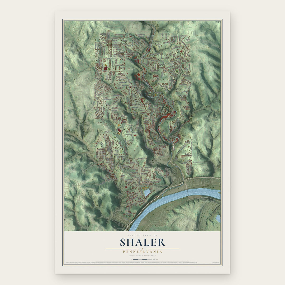
Shaler, Pennsylvania Map Art
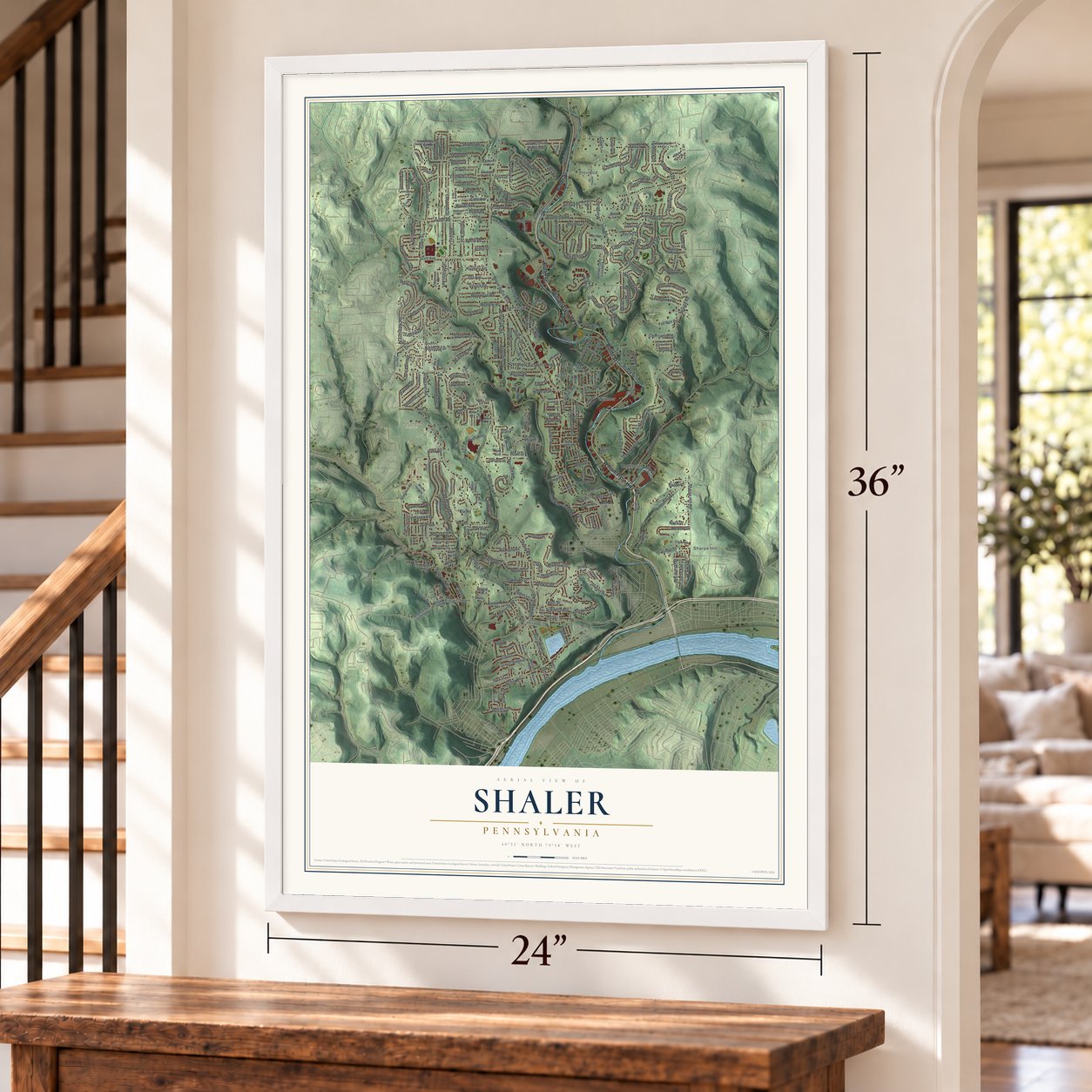
A new map of Shaler, Pennsylvania, made in 2026 and printed to order on thick archival matte paper.
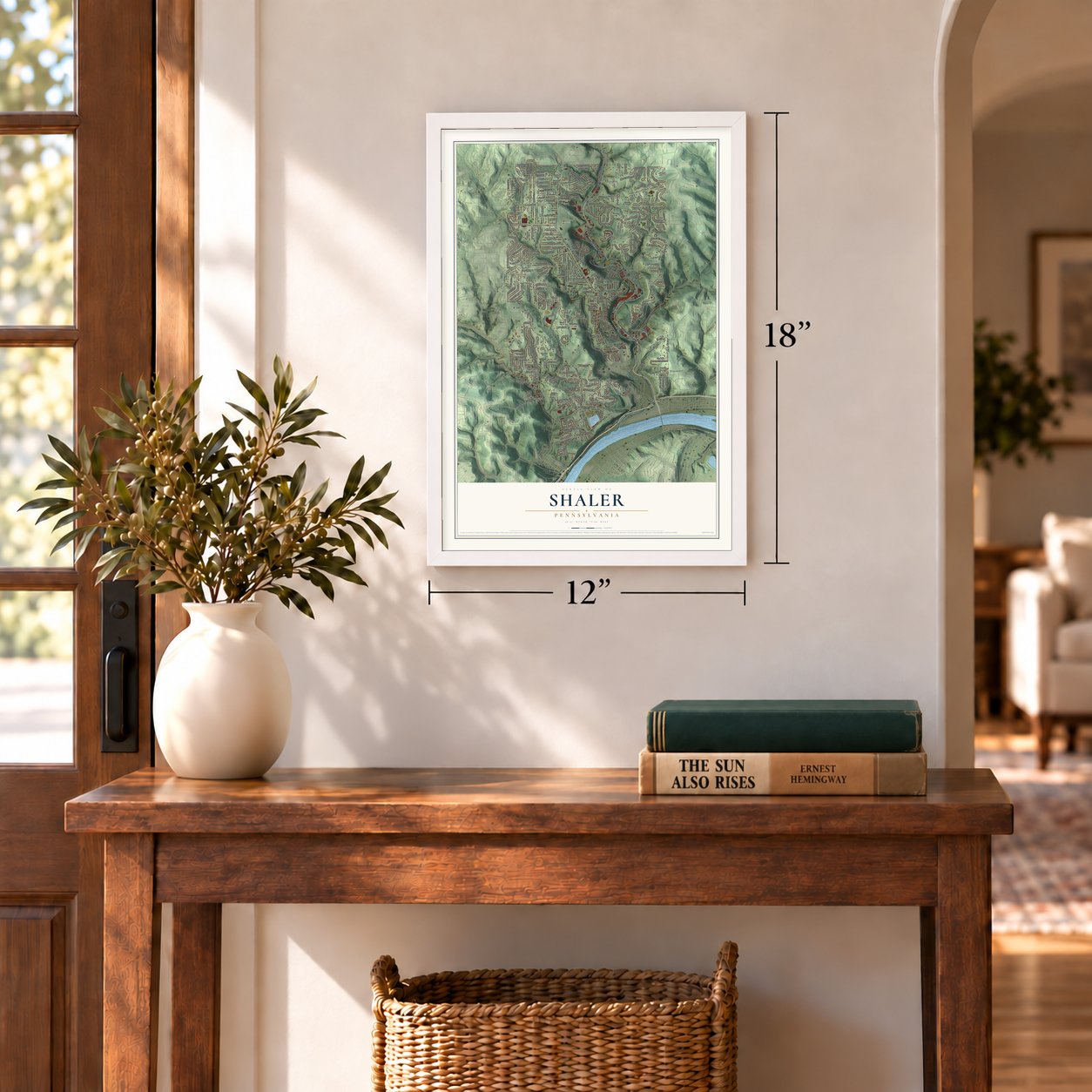
12" x 18" Archival Matte Print
A Map of Home. A Work of Art.
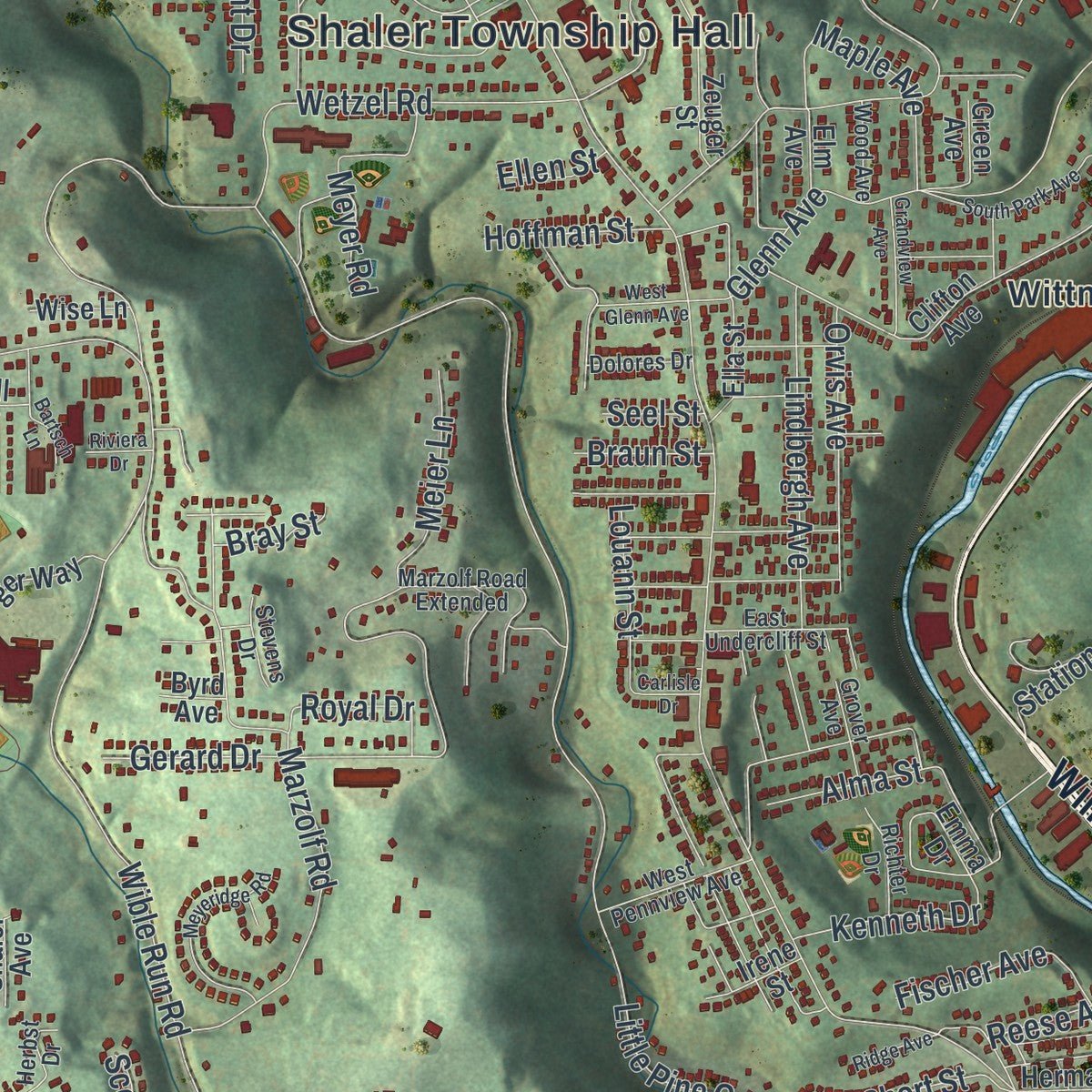
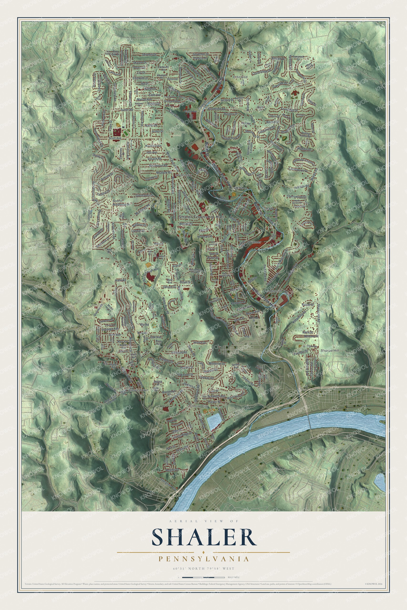
Explore Shaler, Pennsylvania from a whole new perspective. Created using aerial imagery and detailed geographic data, this map captures Shaler building by building, with labeled streets, familiar landmarks, and shaded topographical relief that highlights the natural contours of the landscape.
Combining modern data with the timeless character of a vintage atlas, this map is just as interesting up close as it is beautiful on the wall. Whether you grew up in Shaler, spent memorable years there, or call it home today, this unique map is a great way to celebrate a place that means something to you. Zoom in on the preview to look for your street, and then order a print to put your memories on the wall.
Three ways to hang it
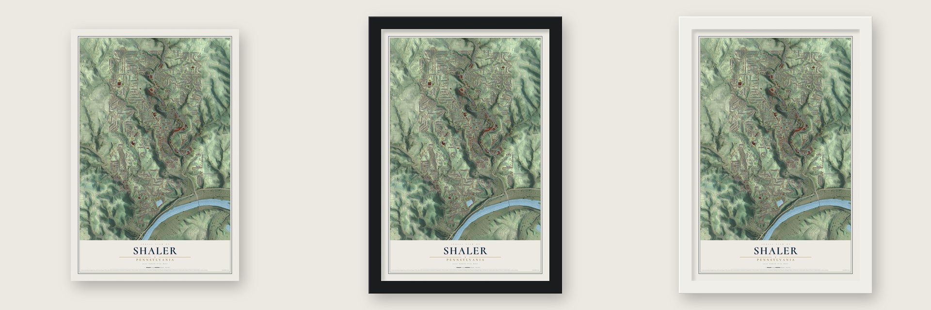
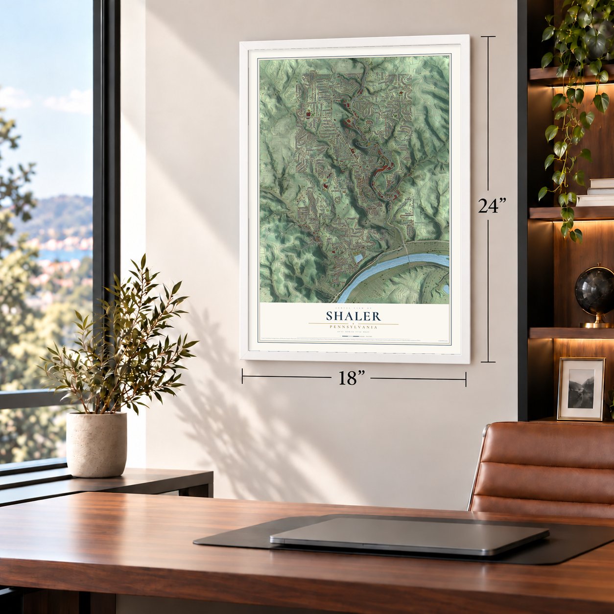
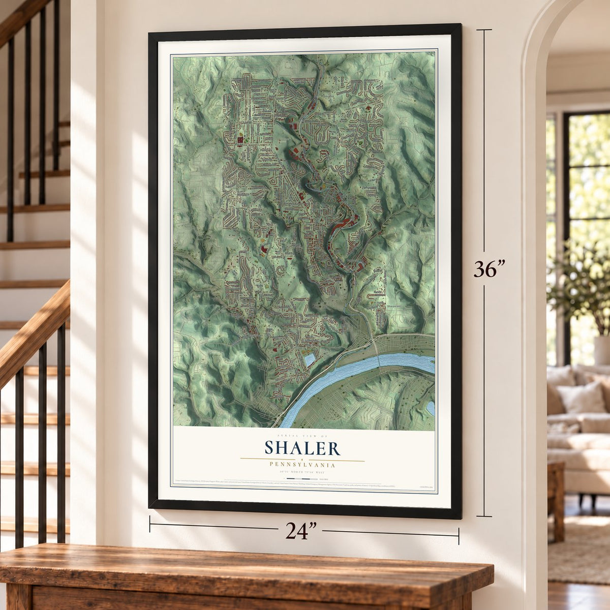
Unframed archival matte, a black wood frame or a white wood frame.
Up close
Geography Worth Displaying
This map was created using accurate cartographic data and authoritative geographic sources, including the U.S. Geological Survey and the Census Bureau. The map brings together terrain, waterways, roads, and building detail. The majority of the streets are labeled, houses are accurately depicted, and the topography is derived from government sources. Combining local data with carefully composed color and shading leads to this beautifully detailed Shaler artwork for your wall.
Rather than simply showing street outlines, we’ve included as many of the street names as we could reasonably fit on the map while keeping their names legible. Zoom in on the high resolution preview to see exactly what’s on the map. We truly set out to create a statement piece for anyone who loves Shaler. So whether it’s for you, or a gift for someone you love, we hope this map of Shaler brings back fond memories.
Read the story behind this map of Shaler, Pennsylvania from 2026.

About Shaler, Pennsylvania
From the History of Allegheny County: "March 20, 1847, the new township as thus recommended was confirmed by decree of court under the name of Marion; but on the same day the name was changed to Shaler."
Find your street
Names on the Shaler map
Every name below is printed on this map. Look for your street, your school, the park where you played, or the pond down the road.
Places and landmarks11
- Shaler Township Hall
- Elfinwild
- Sharpe Hill
- Cherry City
- Beth Shalom Cemetery
- Fall Run Park
- Mount Royal Cemetery
- Bauerstown
- Glenshaw
- Undercliff
- Wittmer
Streets and roads330
- William Flynn Highway
- Butler Street
- Evergreen Avenue
- Seavey Road
- Mount Royal Boulevard
- Wible Run Road
- Anderson Road
- Middle Road
- Little Pine Creek Road
- Burchfield Road
- Elfinwild Road
- Vilsack Road
- Saxonburg Boulevard
- McElheny Road
- Wetzel Road
- Soose Road
- Sapling Drive
- Sutter Road
- East Sutter Road
- Fall Run Road
- Marzolf Road
- Venango Avenue
- Friday Road
- Kleber Road
- Dressel Road
- Scott Avenue
- Greenfield Road
- Babcock Boulevard
- Richard Drive
- Glenshaw Avenue
Show all 330 streets
- Kittanning Street
- College Park Road
- Sharps Hill Road
- Hawthorne Road
- Glenn Avenue
- Sandy Drive
- Elfinwild Lane
- Rosebriar Drive
- Lucille Street
- Hahn Road
- Willett Road
- Colony Oaks Drive
- Lehr Avenue
- Oakwood Street
- Elmwood Drive
- Orchard Avenue
- Limestone Drive
- Locust Ridge Drive
- Albine Drive
- Parker Street
- Morewood Road
- Hamilton Avenue
- Louann Street
- Elbe Drive
- Forliview Road
- Peters Drive
- Autumnwood Drive
- Vollmer Drive
- Meadow Road
- Victory Drive
- Elizabeth Street
- Shaler Drive
- Balsam Drive
- Ponderosa Drive
- Loire Valley Drive
- Hemlock Drive
- Bethany Drive
- Heights Drive
- Highland Avenue
- Fenway Road
- Northview Drive
- Skylark Drive
- Clare Street
- Wynne Street
- President Drive
- South Magnolia Drive
- Fernledge Drive
- Lindbergh Avenue
- Ida Drive
- Tartline Drive
- Lakeside Drive
- Shirehill Drive
- Winterset Drive
- Leo Road
- Old Soose Road
- Countryside Drive
- Centre Avenue
- Hillwood Road
- Jordan Lane
- Fischer Avenue
- Governor Drive
- Danube Drive
- Laurel Drive
- Flint Road
- Oak Avenue
- Rose Drive
- Iola Avenue
- Willruth Drive
- Delaware Drive
- Lily Drive
- Bluestone Drive
- Herron Lane
- Marian Avenue
- Maple Avenue
- Phillips Avenue
- Rutgers Drive
- Laurel Hill Road
- Eade Avenue
- Orvis Avenue
- Moonstone Drive
- Willow Street
- Pictwood Drive
- Redstone Drive
- Fieldstone Drive
- Felicity Avenue
- Barrington Drive
- Margaret Street
- Laurelwood Drive
- Foundry Street
- Glen Scott Drive
- Holly Ridge Drive
- Bridle Road
- Royal Drive
- Wooster Drive
- Heather Drive
- Meyer Road
- Hartle Road
- Sundale Drive
- Station
- Maple Street
- Fied Field Road
- Charles Street
- Venice Drive
- Park Lane
- Pamela Drive
- Woodside Road
- Viennese Drive
- Shoreham Drive
- Jane Avenue
- Tillia Street
- Meier Lane
- Kenneth Drive
- Crestwood Drive
- Andrew Drive
- Short Street
- Rangley Drive
- Cherrywood Drive
- Regina Street
- Klir Road
- Glenhaven Drive
- Madsen Drive
- Scobbo Drive
- Schwartz Avenue
- Kay Street
- Hoffman Street
- Gerard Drive
- Village Road
- Hiram Street
- Aleta Street
- Mica Drive
- Alma Street
- Casey Drive
- Barbour Drive
- Koehler Street
- Manuel Drive
- Park Street
- Bayhill Drive
- Lynmar Drive
- Reese Avenue
- Adele Avenue
- Braun Street
- Joan Drive
- James Street
- Bray Street
- Ash Drive
- Badali Street
- Topaz Drive
- Arden Drive
- Ellen Street
- Perry Street
- East Street
- Seel Street
- Butler Plank Road
- Spencer Lane Extended
- Greenhill Road
- Paul Schweiger Way
- Mount Vernon Drive
- Clearview Drive
- Belladonna Drive
- Stoneridge Drive
- Clifton Avenue
- Park Circle Drive
- West Shaw Place
- Spencer Lane
- Highlander Heights Drive
- Woodland Avenue
- Verna Drive
- Geyer Road
- Rolling Farms Road
- Mary Avenue
- Martha Avenue
- Lincoln Avenue
- Kimble Drive
- Ella Street
- Emma Drive
- Mount Ivy Lane
- Spencer Woods Drive
- Zeuger Street
- Hieber Lane
- Tamarack Drive
- Cambria Point Street
- Jo Alyce Drive
- Grall Avenue
- Walters Avenue
- Virginia Avenue
- Maplewood Road
- Eighth Avenue
- Geyer Road Extended
- Deerwood Drive
- Spruce Drive
- Dewey Avenue
- Lammert Drive
- Irene Street
- Fieldcrest Drive
- Lupine Drive
- Etna Avenue
- Weaver Drive
- Bernice Drive
- Karcher Drive
- Aurelia Drive
- Shafer Road
- Hugel Drive
- Birch Avenue
- Illinois Drive
- Pine Oak Drive
- South Road
- Dehaven Avenue
- Mary Ann Drive
- Wallace Road
- Hill Street
- Elm Street
- West Road
- Wise Lane
- Pitner Drive
- Herman Street
- Shaler Avenue
- Schar Street
- Sarah Street
- Verden Court
- Elm Avenue
- Zeno Lane
- Upland Street
- Tara Drive
- Green Avenue
- Valley Street
- Byrd Avenue
- Fir Drive
- Ada Drive
- Nill Street
- Marzolf Road Extended
- Ridgeview Circle
- Lohengrin Drive
- Garden Place
- Hilglor Drive
- West Pennview Avenue
- Sunset Lane
- East Undercliff Street
- North Spruce Drive
- Church Avenue
- Grover Avenue
- Silver Reel Avenue
- Thompson Run Road
- Thompson Road
- Chapel Ridge Road
- Bleil Drive
- Woodland Road
- Richter Drive
- Forest Avenue
- Bismark Street
- Sunnyfield Drive
- Dolores Drive
- Wood Avenue
- Claridge Drive
- Jackson Street
- Edison Street
- Summit Street
- Stevens Drive
- Marie Avenue
- Himber Street
- Herbst Drive
- Tannen Drive
- Holly Circle
- High Street
- Poplar Drive
- Ruth Drive
- Maryland Drive
- Northaven Circle
- Grandview Avenue
- Davis Avenue
- Meyeridge Road
- Butterfield Avenue
- Lindenwood Drive
- Westminster Place
- Ledgeview Drive
- Foxfield Drive
- Angeline Drive
- Old Butler Plank Road
- South Park Avenue
- Hieber Road
- Fox Meadows Court
- Otterbein Drive
- Crest Lane
- Pinewood Lane
- Dehaven Court
- Beech Street
- Stonington Drive
- Donald Avenue
- West Glenn Avenue
- Parma Drive
- Ridge Avenue
- Ivywood Drive
- Carol Lane
- Georgia Drive
- Bartsch Lane
- Hilltop Circle
- Brunton Drive
- Riviera Drive
- Carlisle Drive
- Perlick Street
- Pin Oak Drive
Names are listed as they appear on the printed map. Zoom into the product photos to find them.
The art of mapping a place
How This Map Was Made
Real places. Remarkable detail. Discover the layers that turn geographic data into a map of home.

The view from above
Aerial imagery reveals the character of the land: woodland, open fields, and the patterns of a place.

The shape of the land
Elevation data brings hills, valleys, and subtle changes in the landscape into view.

The details of home
Roads, waterways, and building footprints come together to make the map feel unmistakably local.

Geography becomes art
Considered color, shading, and typography bring the layers together in a map made for your wall.


Process illustrated with Mendon, Massachusetts. Aerial imagery: USDA NAIP. Terrain: USGS 3D Elevation Program. Map details and finished artwork: KNOWOL.
The Details
About This Print
Choose an archival matte print, or a black or white Ayous wood frame. The archival matte print is unframed.
Select your size and finish above to see the matching product image and price.
Materials & Craftsmanship
A contemporary map with the character of a classic atlas, printed on archival matte paper. Optional frames are made from Ayous wood.
Your printed map does not include the watermark shown in the full-map preview.
Shipping & Delivery
Free shipping within the United States. Every print is made to order in the USA.
Buying a gift? Add a note in your cart and we'll include it. We never put prices in the package.
Prints ship within 2 to 3 business days. Allow 7 to 10 days total from ordering for delivery. Timing may vary during holidays or periods of high order volume.
Read our shipping policy.
Returns and damaged prints
Each print is made to order. Change-of-mind refunds are not available after production.
If your print arrives damaged, misprinted or incorrect, contact support@knowol.com within 30 days of receiving it. Include your order number, photos and a description of the issue.
Read our full refund and replacement policy. For questions about your order, email support@knowol.com.
Find your town
Looking for another city?
Find a map of home in our Pennsylvania collection, or any town in the country.
Nearby
Maps of towns near Shaler
Know someone from one of these towns? Their map makes a great gift.
 Glenshaw
, Pennsylvania
From $39.99See the map
 Etna
Etna, Pennsylvania
From $39.99See the map
 Upper Lawrenceville
, Pennsylvania
From $39.99See the map
More maps nearby: Millvale, Reserve, Sharpsburg, Ross and Summer Hill.