
Search for another town



Free U.S. delivery 7 to 10 days after you order
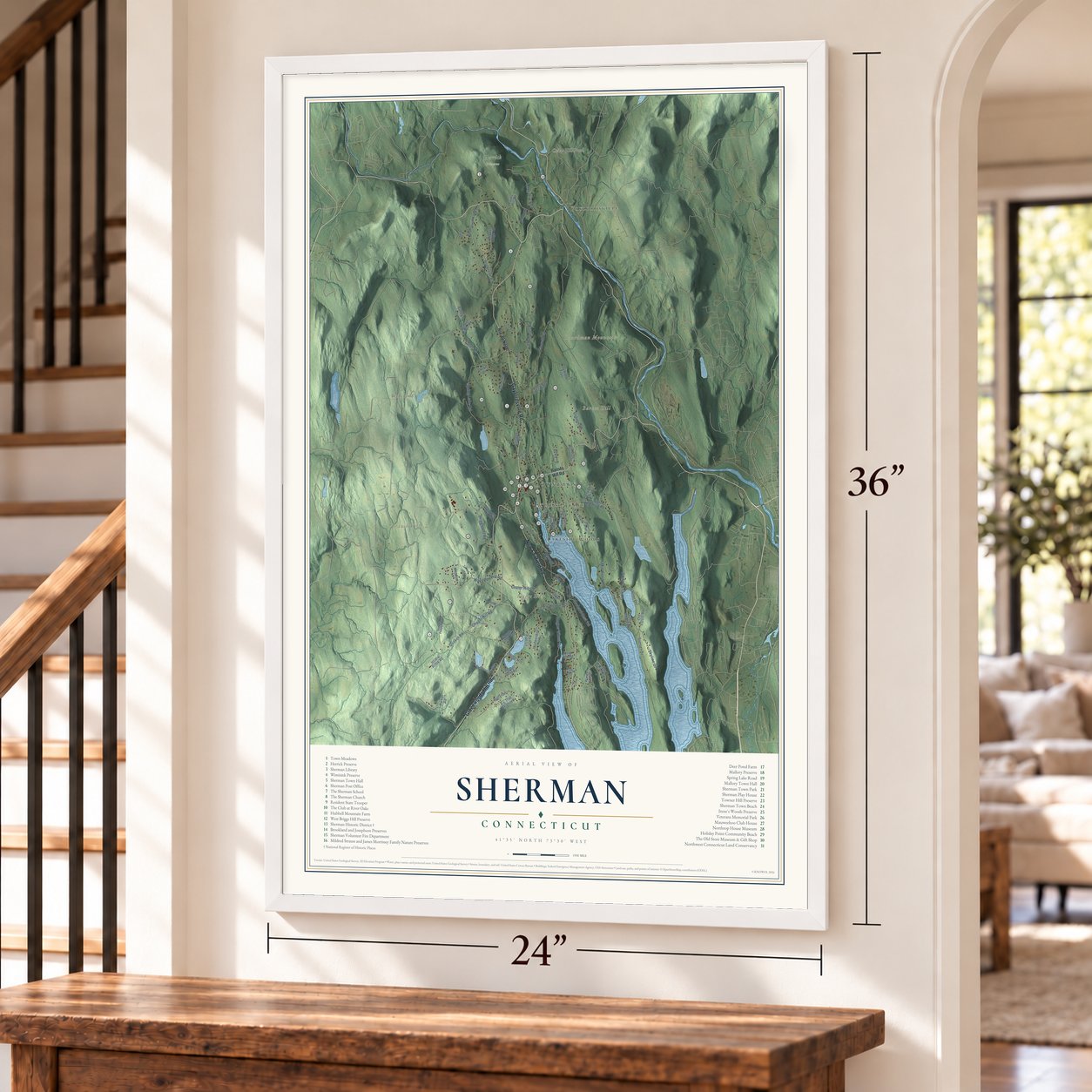
Sherman, Connecticut Map Art
Building by building, with labeled streets and shaded relief.
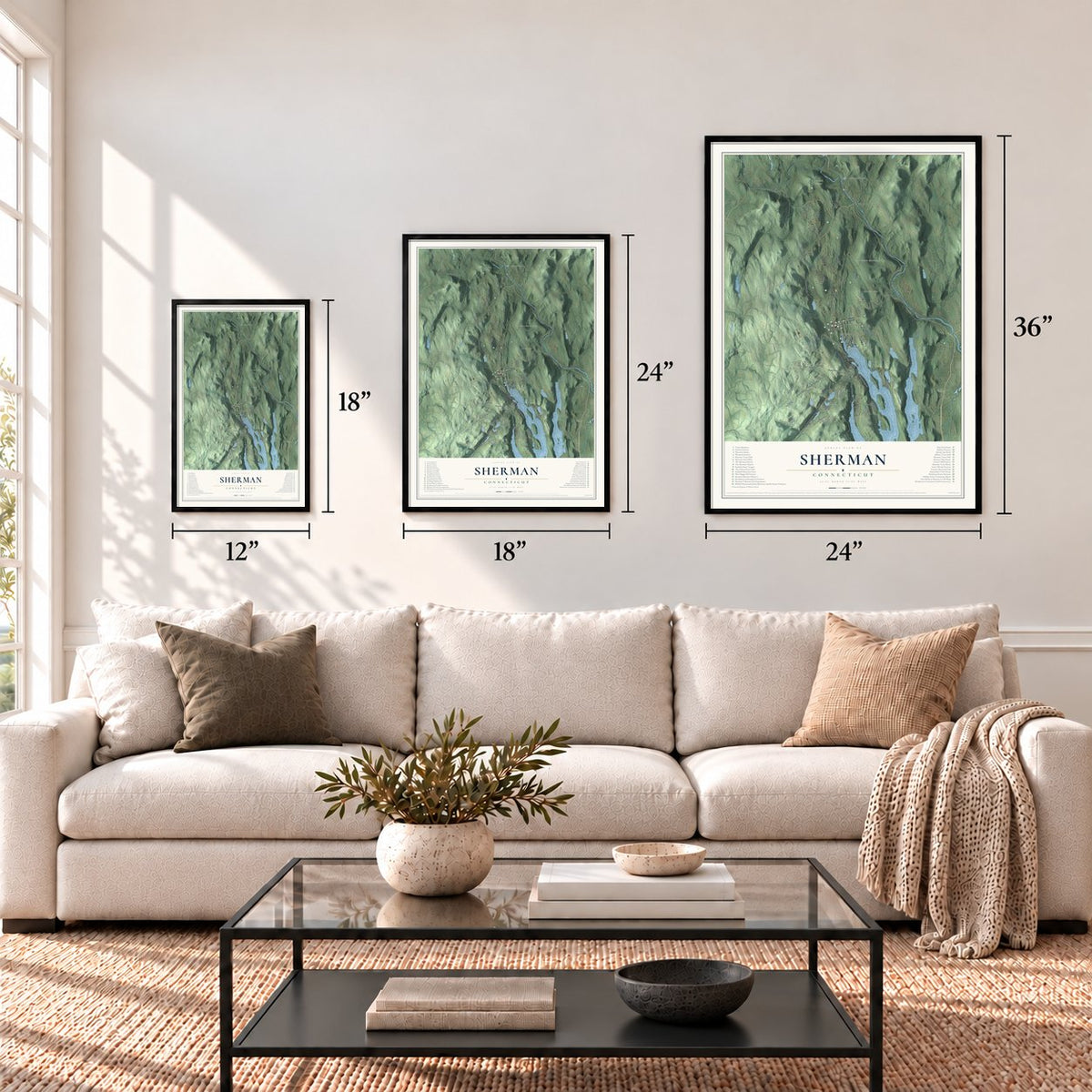
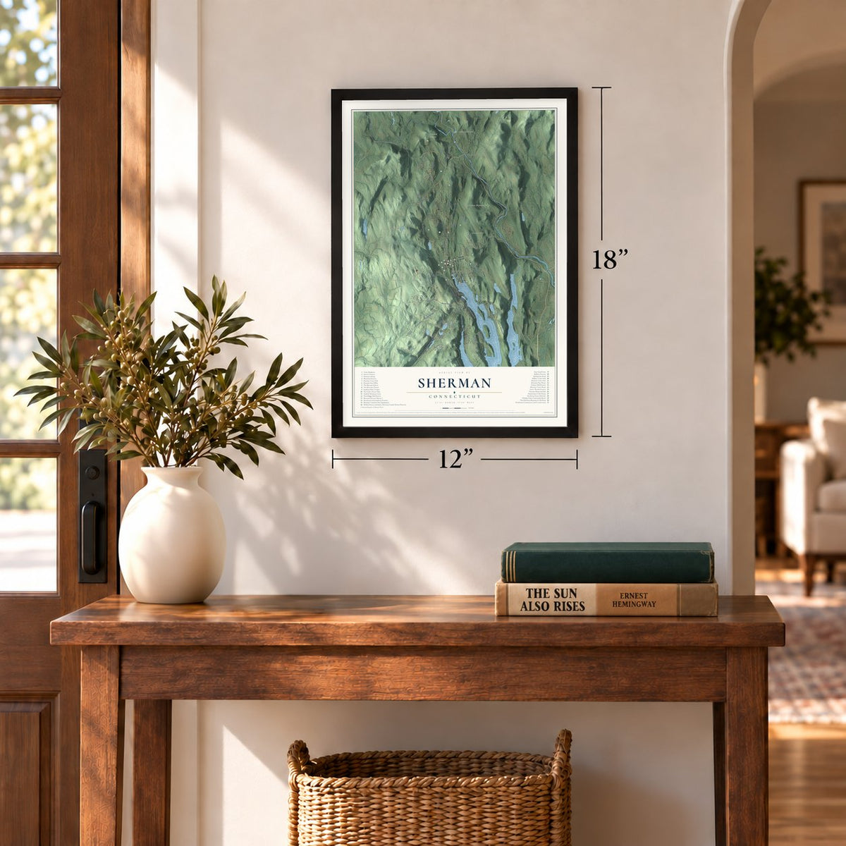
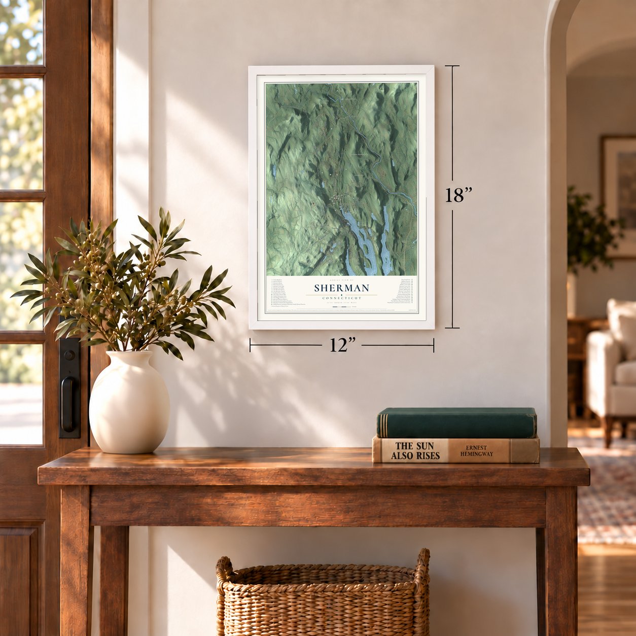
12" x 18" Archival Matte Print
A Map of Home. A Work of Art.
Explore Sherman, Connecticut from a whole new perspective. Created using aerial imagery and detailed geographic data, this map captures Sherman building by building, with labeled streets, familiar landmarks, and shaded topographical relief that highlights the natural contours of the landscape.
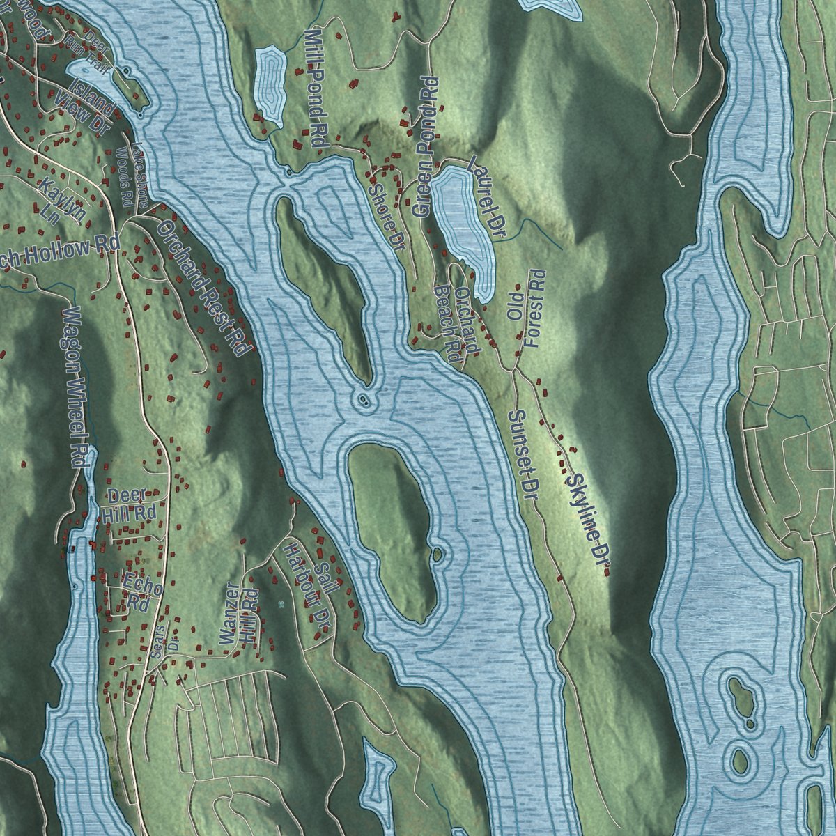
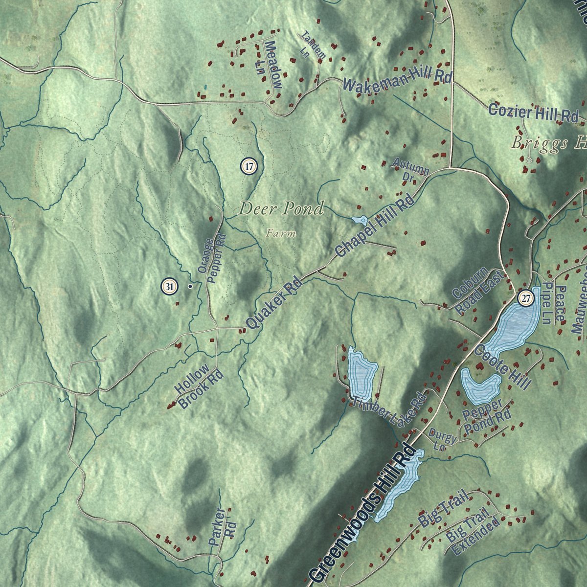
Combining modern data with the timeless character of a vintage atlas, this map is just as interesting up close as it is beautiful on the wall. Whether you grew up in Sherman, spent memorable years there, or call it home today, this unique map is a great way to celebrate a place that means something to you. Zoom in on the preview to look for your street, and then order a print to put your memories on the wall.

Three ways to hang it
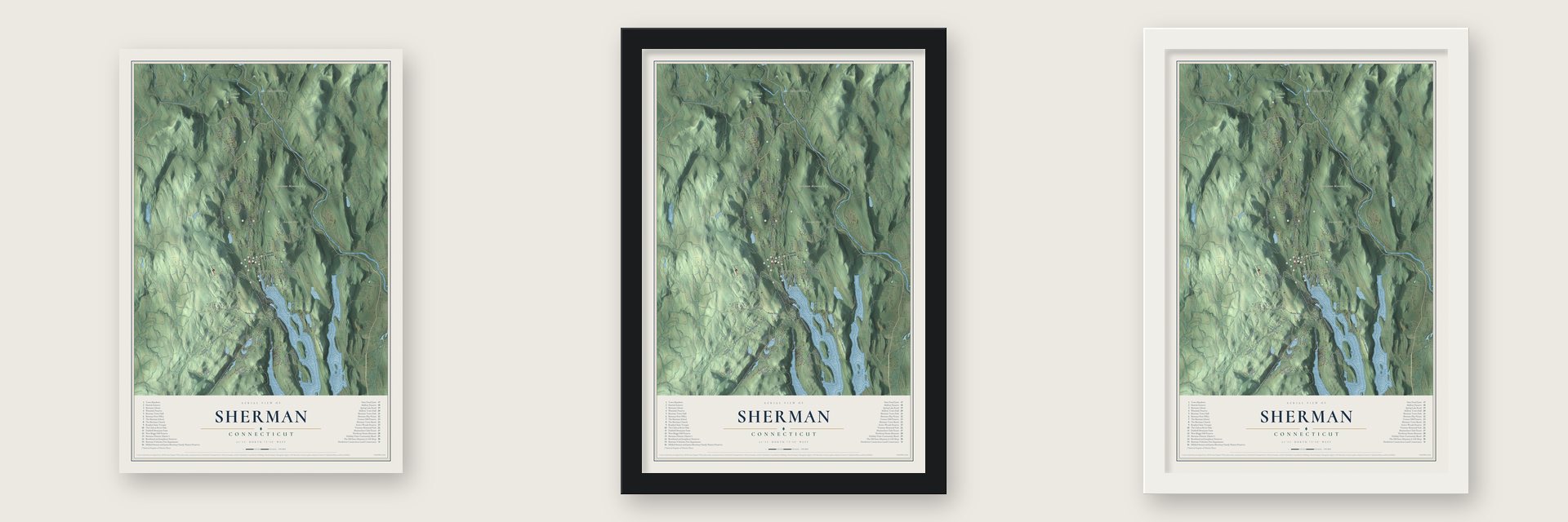
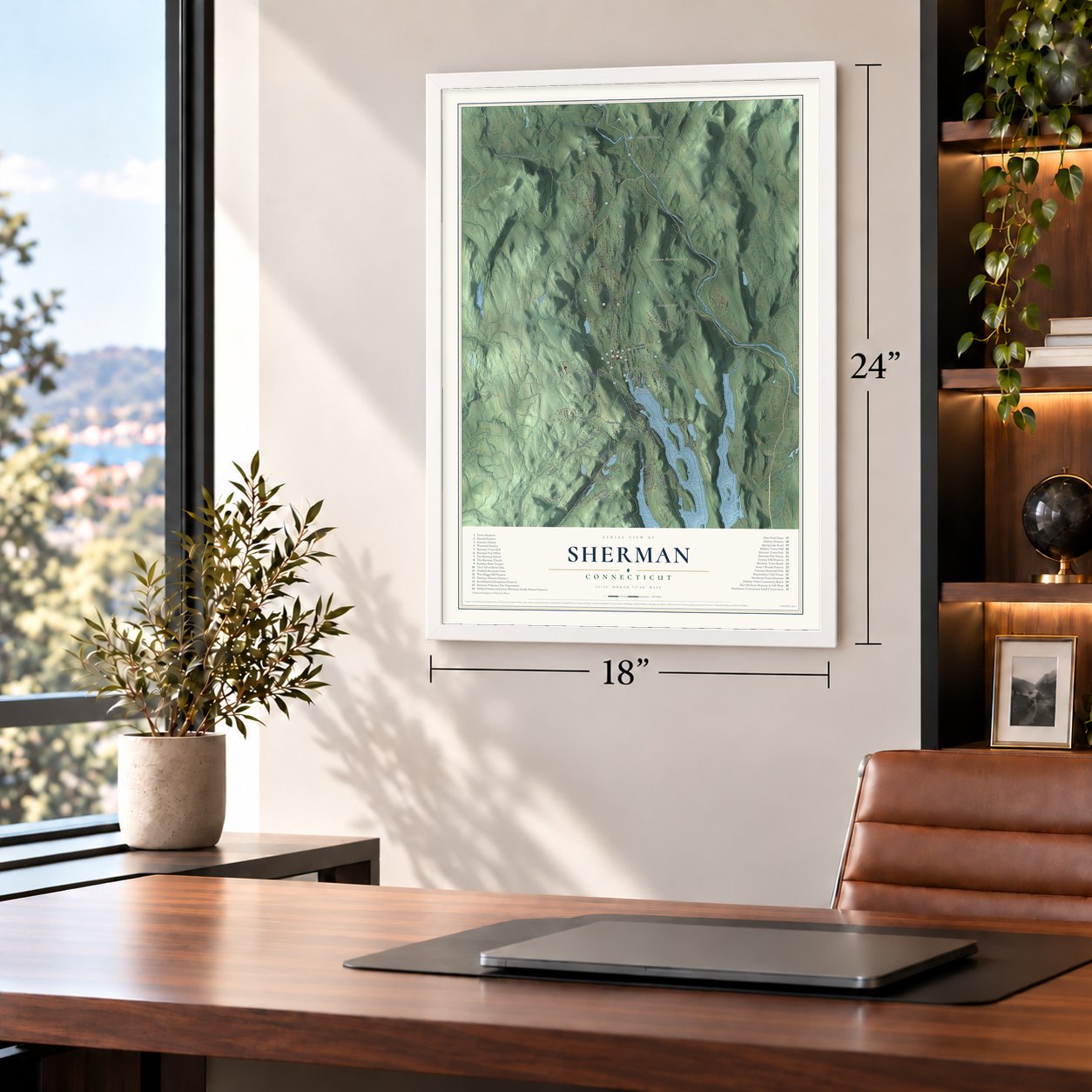
Unframed archival matte, a black wood frame or a white wood frame.
Up close
Geography Worth Displaying
This map was created using accurate cartographic data and authoritative geographic sources, including the U.S. Geological Survey (USGS) and FEMA. The map brings together terrain, waterways, roads, and building detail. The majority of the streets are labeled, houses are accurately depicted, and the topography is derived from government sources. Combining local data with carefully composed color and shading leads to this beautifully detailed Sherman artwork for your wall.
Rather than simply showing street outlines, we’ve included as many of the street names as we could reasonably fit on the map while keeping their names legible. Zoom in on the high resolution preview to see exactly what’s on the map. We truly set out to create a statement piece for anyone who loves Sherman. So whether it’s for you, or a gift for someone you love, we hope this map of Sherman brings back fond memories.
Explore the full map of Sherman, Connecticut and read about the local places it shows.

Find your street
Names on the Sherman map
Every name below is printed on this map. Look for your street, your school, the park where you played, or the pond down the road.
Places and landmarks12
- Downtown
- Barnes Hill
- Boardman Mountain
- Branch Hill
- Briggs Hill
- Brady Pond
- Cedar Hill Pond
- Deer Pond Farm
- Herrick Preserve
- Lakeside Woods
- Gaylordsville
- Atchison Cove
Streets and roads79
- Gaylordsville Road
- Greenwoods Hill Road
- New Fairfield Road
- Taber Road
- Green Pond Road
- Spring Lake Road
- Long River Road
- Church Road
- Chapel Hill Road
- Quaker Road
- Briggs Hill Road
- Wakeman Hill Road
- Anderson Road
- Leach Hollow Road
- Edmonds Road
- Cozier Hill Road
- Wagon Wheel Road
- Mill Pond Road
- Big Trail
- Skyline Drive
- Farm Road
- Sunset Drive
- Orchard Rest Road
- Osborn Road
- Coote Hill
- Laurel Drive
- Fox Run
- Route 39 North
- Barnes Hill Road
- Cedar Lane
Show all 79 streets
- Hubbell Mountain Road
- Holiday Point Road
- Evans Hill Road
- Wanzer Hill Road
- Timber Lake Road
- Mauweehoo Hill
- Atchison Cove Road
- Anderson Road East
- Smoke Ridge Road
- Chimney Hill Road
- Babbling Brook Drive
- Coburn Road East
- Ledgewood Drive
- Hollow Brook Road
- Quaker Ridge Road
- Ashley Lane
- Sail Harbour Drive
- Gelston Road
- Pepper Pond Road
- Old Forest Road
- Big Trail Extended
- Curtis Drive
- Meadow Lane
- Partridge Trail
- Orchard Beach Road
- Island View Drive
- Lily Pond Trail
- Shore Drive
- Deer Hill Road
- Parker Road
- Peace Pipe Lane
- Sunny Lane
- Kaylyn Lane
- Echo Road
- Brinsmade Lane
- Orange Pepper Road
- Upland Pastures Road
- Durgy Lane
- Blackberry Lane
- Highview Lane
- Hoyt Road
- Autumn Drive
- Oak Drive
- Deer Run Trail
- Crawford Lane
- Tandem Lane
- Lake Shore Woods Road
- Hubbell Ridge
- Sears Drive
Names are listed as they appear on the printed map. Zoom into the product photos to find them.
About Sherman, Connecticut
Sherman is a town of 3,527 people, the northernmost in Fairfield County, with Pawling, New York, along its western side. Algonquian people lived here before settlers from Fairfield won approval from the General Assembly for a new township in 1724. The Schaghticoke chief Squantz died before any deal was made, and his four sons refused to sign, so the buyers waited until April 24, 1729, when they gathered the marks of other native people and took a 31,000-acre tract for 65 pounds sterling.
That tract became New Fairfield, and its northern part was known as the Upper Seven Miles. In 1802 the Upper Seven Miles was set off as a separate town and named for Roger Sherman, the only Founding Father to sign all four of the nation's founding papers, and it held its first town meeting in 1803. Farms, small mills and fine tobacco leaf carried Sherman through the 1800s, and in 1928 Candlewood Lake filled along its southern shore, flooding much of the farmland there.
“I have seldom seen a people among whom more real comforts were enjoyed.”
- Powder in the garretIn the Revolution, Alexander Stewart headed the Committee of Safety for New Fairfield's north parish, and he kept barrels of gunpowder and lead bars in his garret. His sons once filled a log with the powder and blew the woodpile across the yard. After Danbury burned in April 1777, he was ordered to ship the supplies to the Peekskill camp. The men and most horses were gone, so he collected every oxcart available and sent them north over Quaker Hill.
- Leach's tunnel at Green PondGreen Pond sits high on a mountain spur, 40 feet deep inside walls of rock. About 1810 William Leach blasted a tunnel through its rim to carry its water to his mills, where three overshot wheels powered a grist mill and a carding machine. Farmers living south of the pond sued and a court halted the work, but neighbors signed his petition to the legislature, and he won a perpetual grant.
- Roger Sherman, shoemakerYoung Roger Sherman came here from Newton, Massachusetts, in 1743 and lived with his brother William, making and mending shoes. The town took his name in 1802, and a reconstruction of his cobbler's shop now stands behind the David Northrop House of about 1800, where the Sherman Historical Society keeps its museum.
- Mapping the trail in 1929Ned Anderson, a Sherman farmer, began mapping and marking the Connecticut section of the Appalachian Trail in 1929. The trail still crosses the north end of town.
- A 29-letter brookIn the north end of town runs Naromiyocknowhusunkatankshunk Brook, a native name meaning "water flowing from the hills." Samuel Orcutt recorded the name in an 1882 book. The state long listed the stream as Morrissey Brook, but a law approved on July 11, 2001, made the long name official, and the Naromi Land Trust takes its name from it.
Keep exploring Connecticut
Sherman is one of 382 Connecticut towns we've mapped. Every dot on the map is a print of its own.
The search covers every state, Connecticut first.
Near Sherman
Order 2 or more town maps and save 10%. Shown in the size and finish you picked above, so they hang as a set.
- Lakeside Woods 12" x 18" / Archival Matte Print $39.99
- Inglenook 12" x 18" / Archival Matte Print $39.99
- New Milford 12" x 18" / Archival Matte Print $39.99


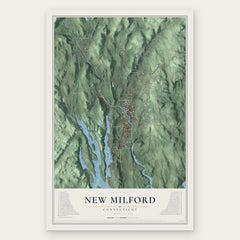
More maps nearby: Sail Harbor, Gaylordsville, Bogus Hill, Knollcrest and Chimney Point.
The art of mapping a place
How This Map Was Made
Real places. Remarkable detail. Discover the layers that turn geographic data into a map of home.

The view from above
Aerial imagery reveals the character of the land: woodland, open fields, and the patterns of a place.

The shape of the land
Elevation data brings hills, valleys, and subtle changes in the landscape into view.

The details of home
Roads, waterways, and building footprints come together to make the map feel unmistakably local.

Geography becomes art
Considered color, shading, and typography bring the layers together in a map made for your wall.


Process illustrated with Mendon, Massachusetts. Aerial imagery: USDA NAIP. Terrain: USGS 3D Elevation Program. Map details and finished artwork: KNOWOL.
The Details
About This Print
Choose an archival matte print, or a black or white Ayous wood frame. The archival matte print is unframed.
Select your size and finish above to see the matching product image and price.
Materials & Craftsmanship
A contemporary map with the character of a classic atlas, printed on archival matte paper. Optional frames are made from Ayous wood.
Your printed map does not include the watermark shown in the full-map preview.
Shipping & Delivery
Free shipping within the United States. Every print is made to order in the USA.
Buying a gift? Add a note in your cart and we'll include it. We never put prices in the package.
Prints ship within 2 to 3 business days. Allow 7 to 10 days total from ordering for delivery. Timing may vary during holidays or periods of high order volume.
Read our shipping policy.
Returns and damaged prints
Each print is made to order. Change-of-mind refunds are not available after production.
If your print arrives damaged, misprinted or incorrect, contact support@knowol.com within 30 days of receiving it. Include your order number, photos and a description of the issue.
Read our full refund and replacement policy. For questions about your order, email support@knowol.com.