
Search for another town


Free U.S. delivery 7 to 10 days after you order
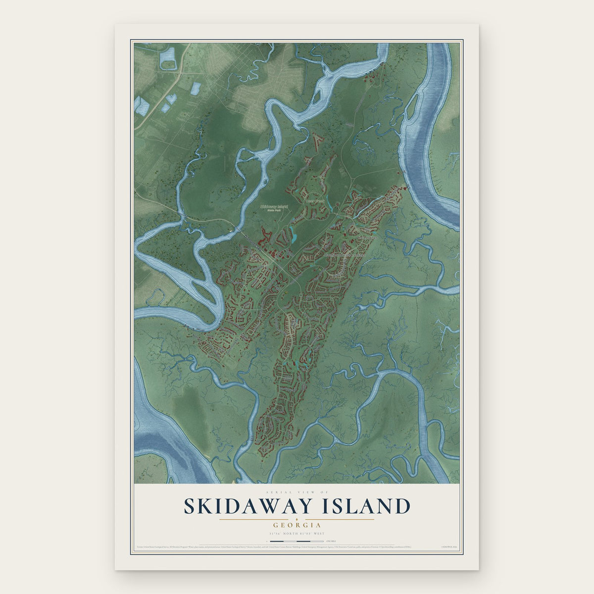
Skidaway Island, Georgia Map Art
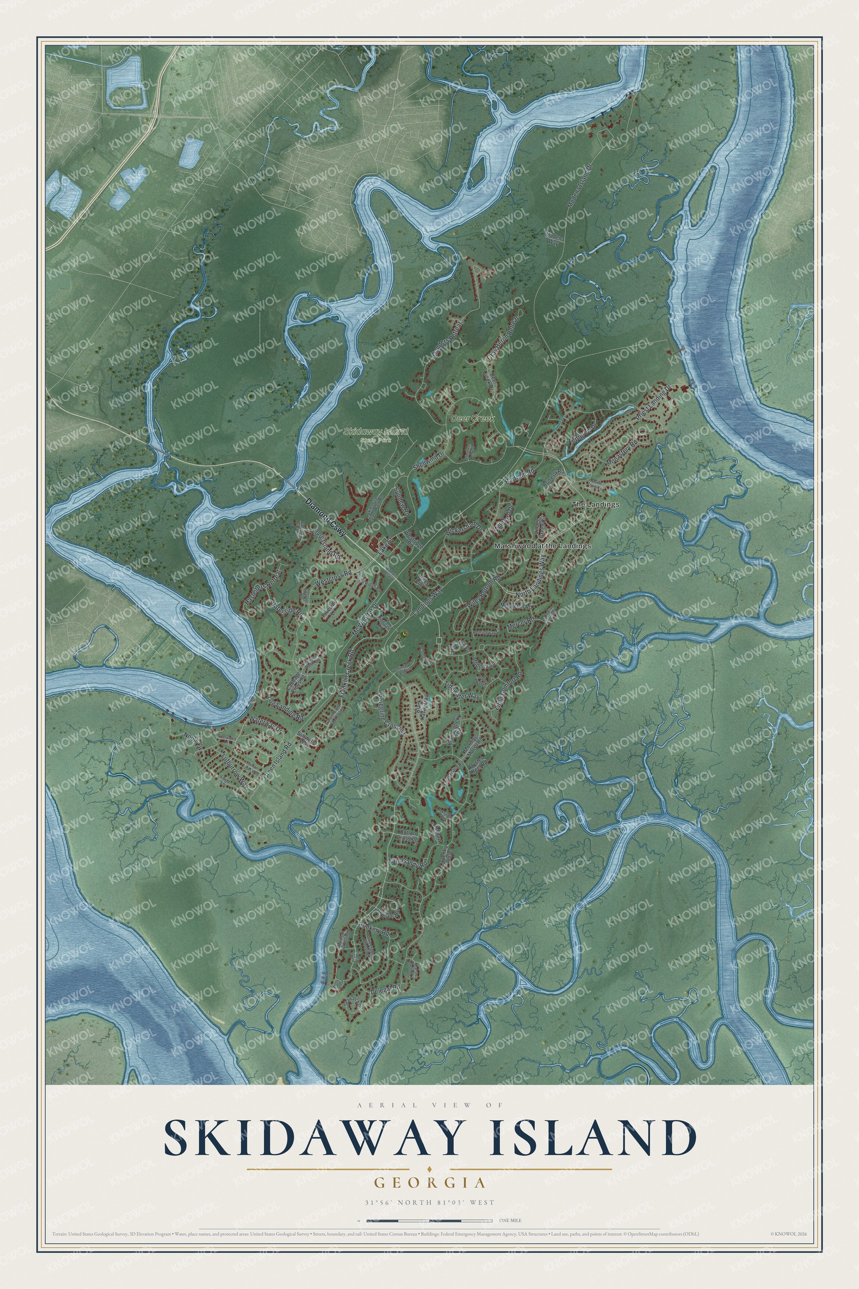
A new map of Skidaway Island, Georgia, made in 2026 and printed to order on thick archival matte paper.
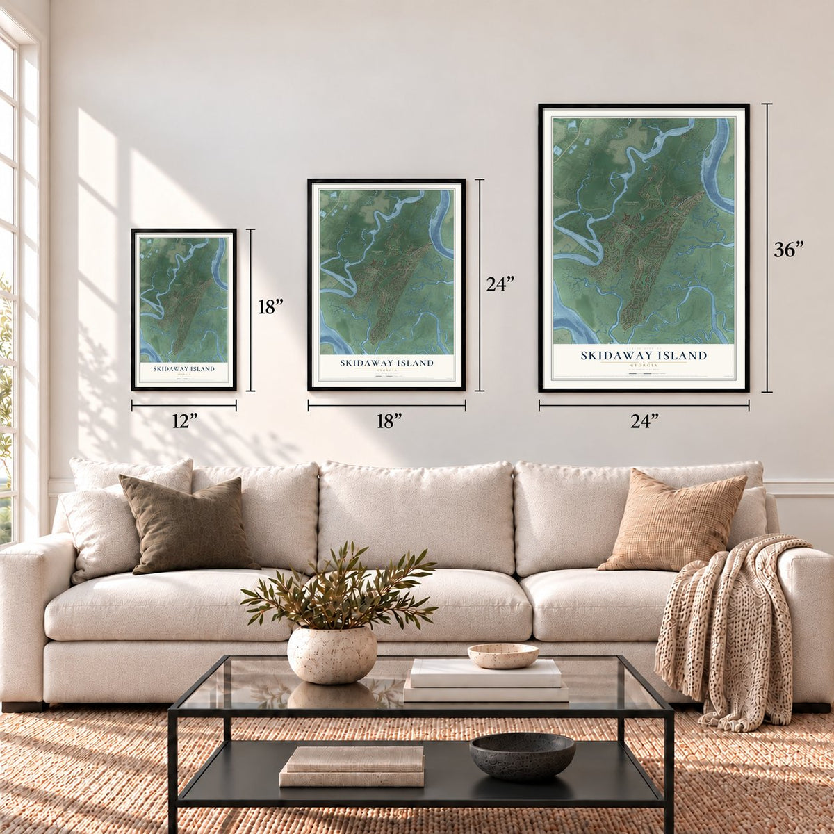
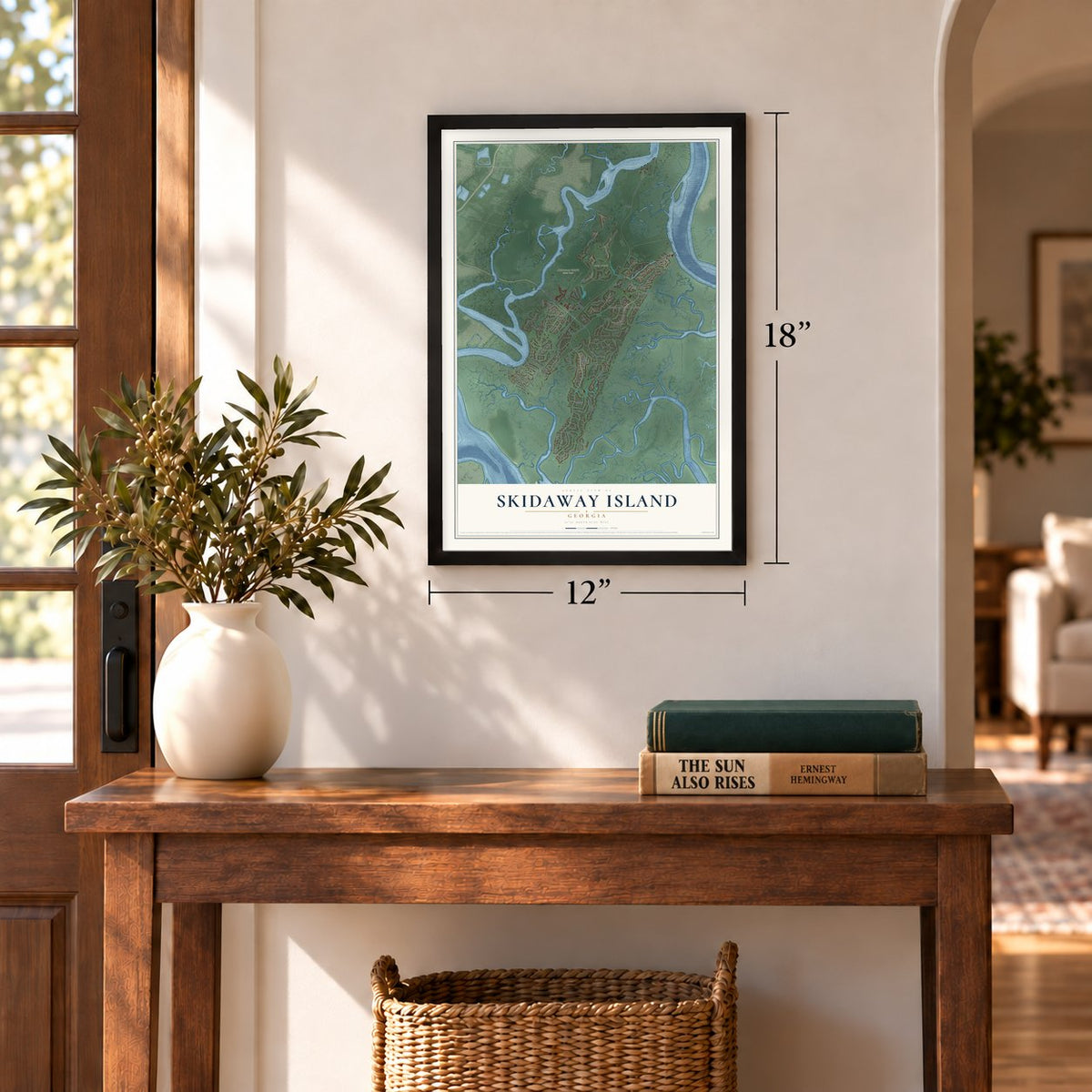
12" x 18" Archival Matte Print
A Map of Home. A Work of Art.
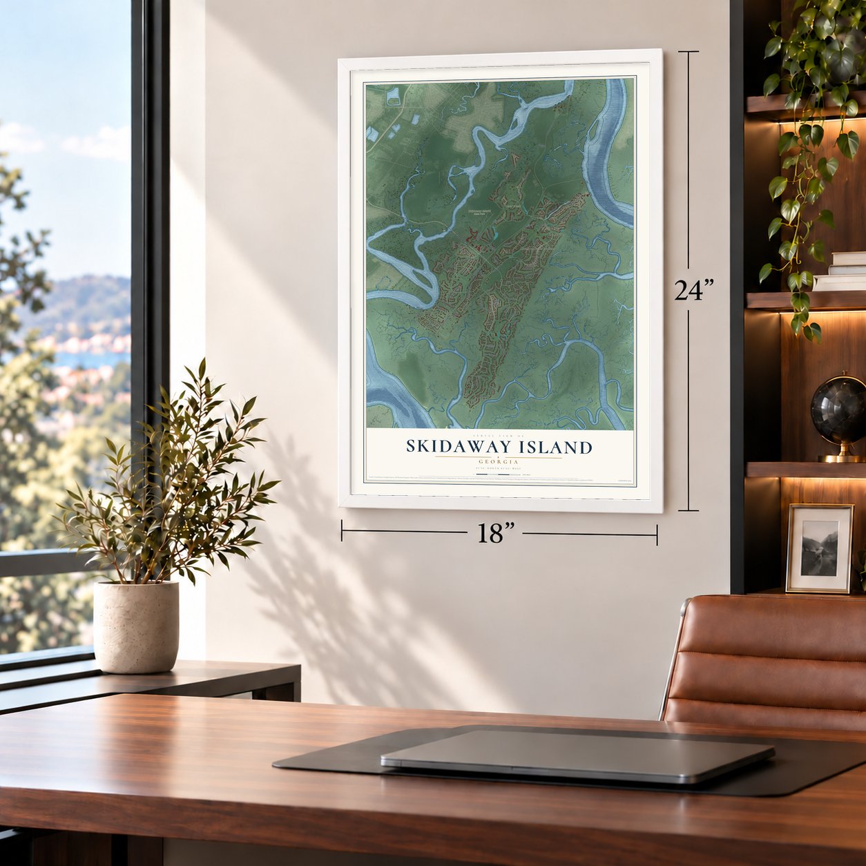
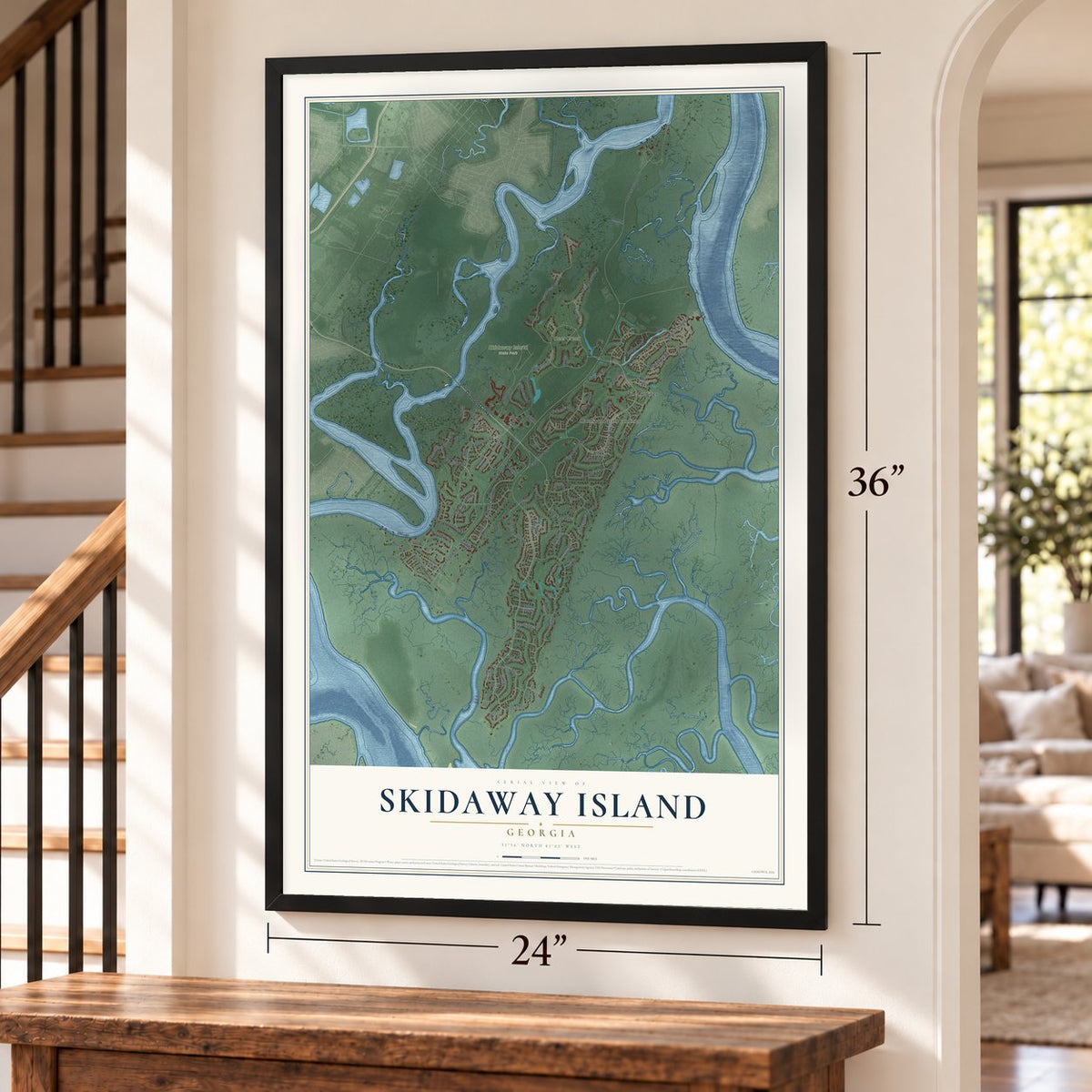
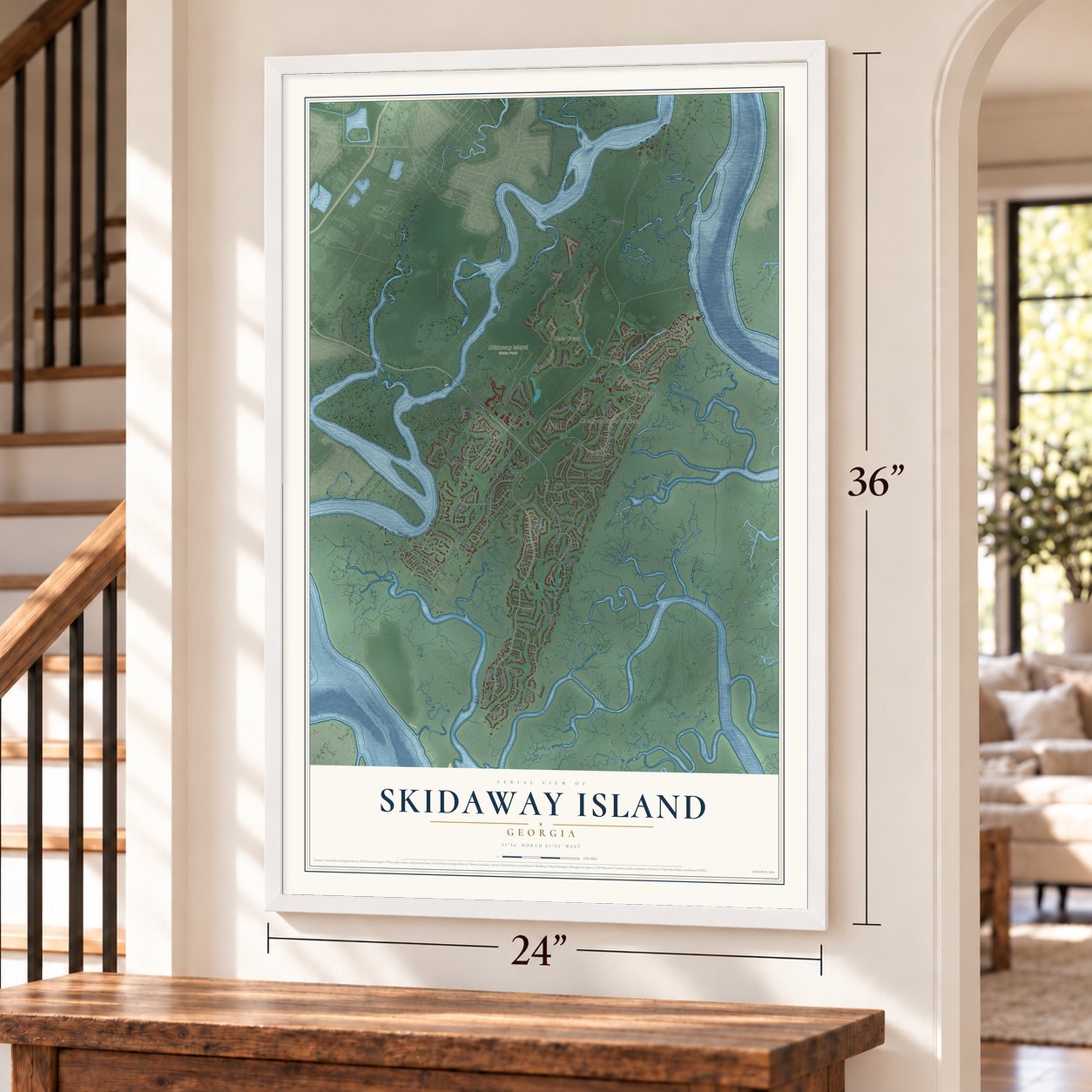
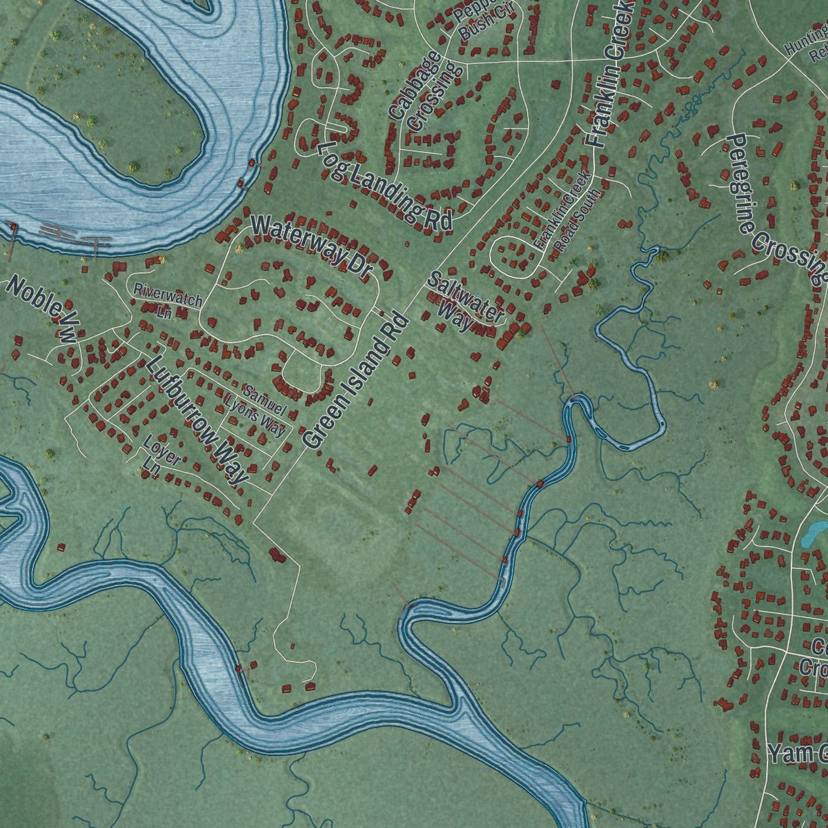
Explore Skidaway Island, Georgia from a whole new perspective. Created using aerial imagery and detailed geographic data, this map captures Skidaway Island building by building, with labeled streets, familiar landmarks, and shaded topographical relief that highlights the natural contours of the landscape.
Combining modern data with the timeless character of a vintage atlas, this map is just as interesting up close as it is beautiful on the wall. Whether you grew up in Skidaway Island, spent memorable years there, or call it home today, this unique map is a great way to celebrate a place that means something to you. Zoom in on the preview to look for your street, and then order a print to put your memories on the wall.
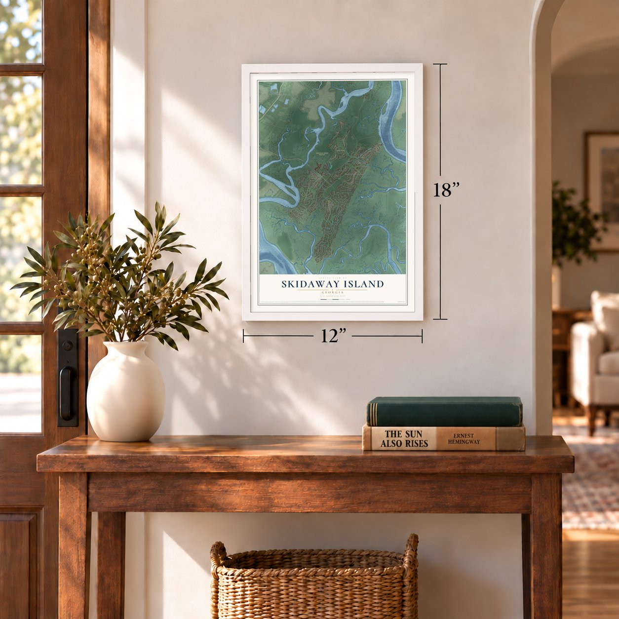
Three ways to hang it
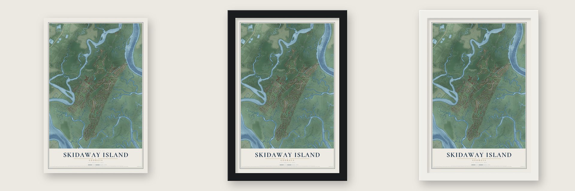
Unframed archival matte, a black wood frame or a white wood frame.
Up close
Geography Worth Displaying
This map was created using accurate cartographic data and authoritative geographic sources, including the U.S. Geological Survey (USGS) and FEMA. The map brings together terrain, waterways, roads, and building detail. The majority of the streets are labeled, houses are accurately depicted, and the topography is derived from government sources. Combining local data with carefully composed color and shading leads to this beautifully detailed Skidaway Island artwork for your wall.
Rather than simply showing street outlines, we’ve included as many of the street names as we could reasonably fit on the map while keeping their names legible. Zoom in on the high resolution preview to see exactly what’s on the map. We truly set out to create a statement piece for anyone who loves Skidaway Island. So whether it’s for you, or a gift for someone you love, we hope this map of Skidaway Island brings back fond memories.
Explore the full map of Skidaway Island, Georgia and read about the local places it shows.

About Skidaway Island, Georgia
Skidaway Island is a community of 9,310 people in Chatham County, on a barrier island of the same name south of Savannah. Much of it lies inside The Landings, a large gated community known for its golf courses and homes along the water, while another part of the island holds the Skidaway Institute of Oceanography, run by the University of Georgia.
Islanders have chosen to keep their community unincorporated. When a March 2019 referendum asked whether to make it the City of Skidaway Island, voters turned the bill down by a wide margin, and the island has no city government.
- Forty acres in 1865Before the Civil War, planters worked the island with enslaved labor. On January 15, 1865, Special Field Order No. 15, put out by General William T. Sherman, handed plantation land here to freed people in plots of up to 40 acres. Land records show plots granted from April 11, 1865, through that summer and early fall. President Andrew Johnson opposed the transfers, no law backed them, and nearly all of the land was given back to its white owners.
- Shell rings from long agoArchaeologists have found several sites on the island that may be shell rings, round or half-round mounds built by the people who lived here first. They are known as Skidaway, Skidaway 9, Skidaway 21 and Odingsell, and none of them has ever been excavated.
- A name for a chief's wife?Nobody knows for certain where the name Skidaway came from, though it may come from Yamacraw or another Creek language. In 1967 Hal E. Brinkley suggested in How Georgia Got Her Names that it could be an English version of Scenawki, wife of the Yamacraw chief Tomochichi, for whom James Oglethorpe named the island.
Find your street
Names on the Skidaway Island map
Every name below is printed on this map. Look for your street, your school, the park where you played, or the pond down the road.
Places and landmarks4
- Skidaway Island State Park
- Marshwood at the Landings
- The Landings
- Deer Creek
Streets and roads79
- Diamond Causeway
- North Landings Way
- Tidewater Way
- Landings Way
- Waterside Road
- Mc Whorter Drive
- Franklin Creek Road
- Waterway Drive
- Modena Island Drive
- Shellwind Drive
- Westcross Road
- Bartram Road
- Green Island Road
- Yam Gandy Road
- Delegal Road
- Islanders Retreat
- Wiley Bottom Road
- Log Landing Road
- Priest Landing Drive
- Peregrine Crossing
- Little Comfort Road
- Sundew Road
- Mercer Road
- Rookery Road
- Wickersham Drive
- Lufburrow Way
- Hasleiters Retreat
- Gray Heron Retreat
- Monastery Road
- Long Island Road
Show all 79 streets
- Pettigrew Drive
- Noble Vw
- Willeford Drive
- Lake Street
- Pelham Road
- Cotton Crossing
- Romerly Road
- Deer Creek Drive
- Village Green Circle
- Black Hawk Trail
- Deer Run
- Morning Marsh Road
- Brandenberry Road
- Middleton Road
- Cabbage Crossing
- Coventry Close
- Modena Road
- Hibernia Road
- Saltwater Way
- Westridge Road
- Hobcaw Lane
- Pineside Lane
- Oyster Reef Road
- Modena Way
- Skidaway Island Park Road
- Tarrow Ridge Road
- Hemingway Circle
- Seawatch Drive
- Southerland Road
- Sweetgum Crossing
- Mainsail Crossing
- Pepper Bush Circle
- Sparnel Road
- Loyer Lane
- Marsh Haven Lane
- Highgate Lane
- Captains Crossing
- Franklin Creek Road South
- Marina Drive
- Magnolia Crossing
- Samuel Lyons Way
- Marsh Tower Lane
- Riverwatch Lane
- Huntingwood Retreat
- Cotesworth Place
- Lakewood Route
- Stargrass Retreat
- Cranes Nest Court
- Sky Sail Circle
Names are listed as they appear on the printed map. Zoom into the product photos to find them.
The art of mapping a place
How This Map Was Made
Real places. Remarkable detail. Discover the layers that turn geographic data into a map of home.

The view from above
Aerial imagery reveals the character of the land: woodland, open fields, and the patterns of a place.

The shape of the land
Elevation data brings hills, valleys, and subtle changes in the landscape into view.

The details of home
Roads, waterways, and building footprints come together to make the map feel unmistakably local.

Geography becomes art
Considered color, shading, and typography bring the layers together in a map made for your wall.


Process illustrated with Mendon, Massachusetts. Aerial imagery: USDA NAIP. Terrain: USGS 3D Elevation Program. Map details and finished artwork: KNOWOL.
The Details
About This Print
Choose an archival matte print, or a black or white Ayous wood frame. The archival matte print is unframed.
Select your size and finish above to see the matching product image and price.
Materials & Craftsmanship
A contemporary map with the character of a classic atlas, printed on archival matte paper. Optional frames are made from Ayous wood.
Your printed map does not include the watermark shown in the full-map preview.
Shipping & Delivery
Free shipping within the United States. Every print is made to order in the USA.
Buying a gift? Add a note in your cart and we'll include it. We never put prices in the package.
Prints ship within 2 to 3 business days. Allow 7 to 10 days total from ordering for delivery. Timing may vary during holidays or periods of high order volume.
Read our shipping policy.
Returns and damaged prints
Each print is made to order. Change-of-mind refunds are not available after production.
If your print arrives damaged, misprinted or incorrect, contact support@knowol.com within 30 days of receiving it. Include your order number, photos and a description of the issue.
Read our full refund and replacement policy. For questions about your order, email support@knowol.com.
Find your town
Looking for another city?
Find a map of home in our Georgia collection, or any town in the country.
Nearby
Maps of towns near Skidaway Island
Know someone from one of these towns? Their map makes a great gift.
 Montgomery
, Georgia
From $39.99See the map
 Isle of Hope
, Georgia
From $39.99See the map
 Dutch Island
, Georgia
From $39.99See the map
More maps nearby: Vernonburg, Wilmington Island, Whitemarsh Island, Thunderbolt and Talahi Island.