
Search for another town

Free U.S. delivery 7 to 10 days after you order
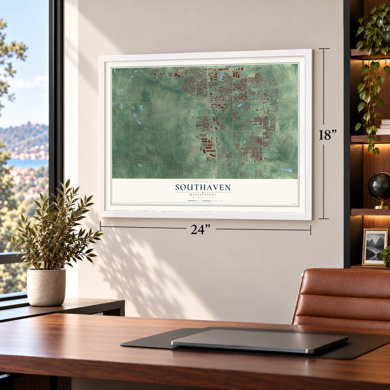
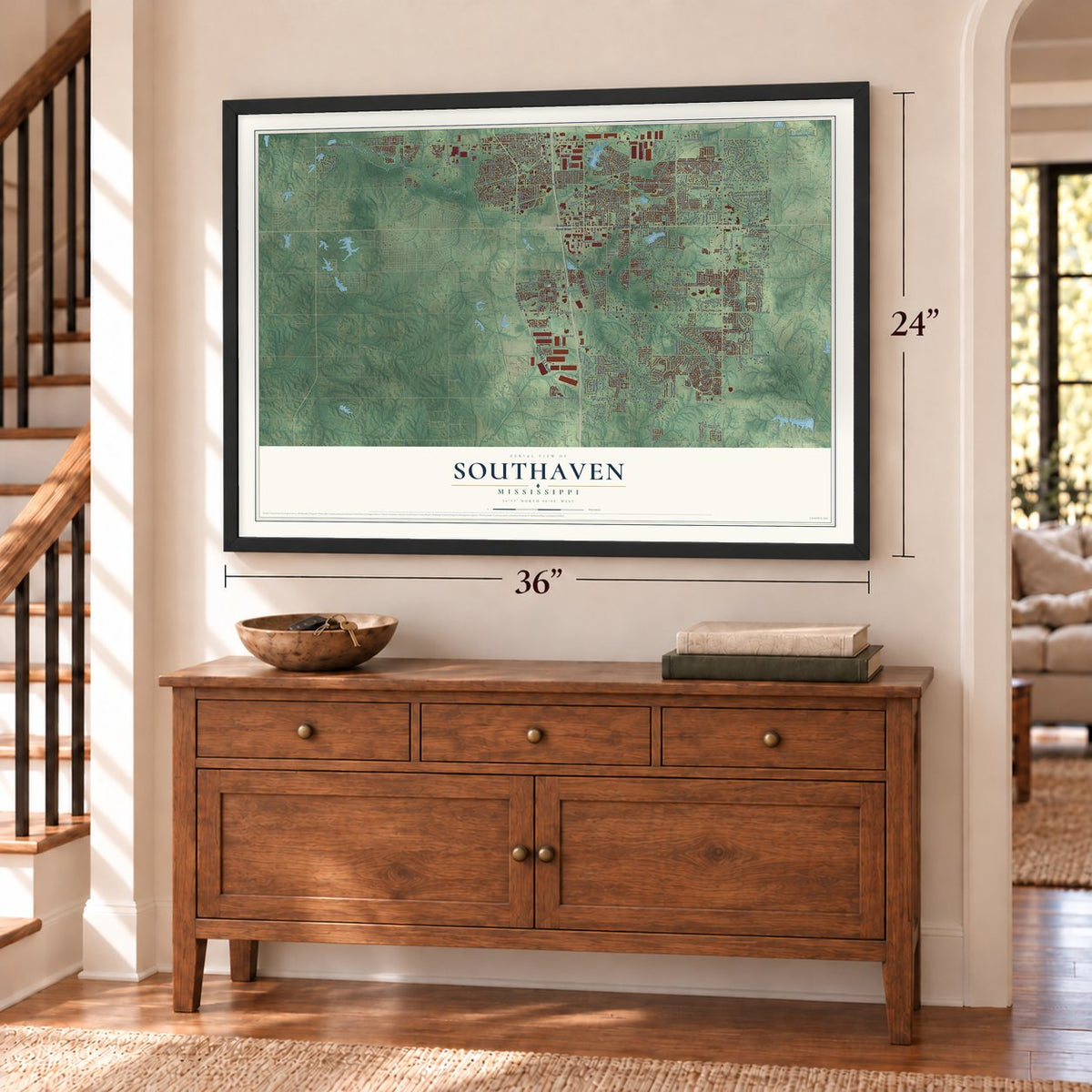
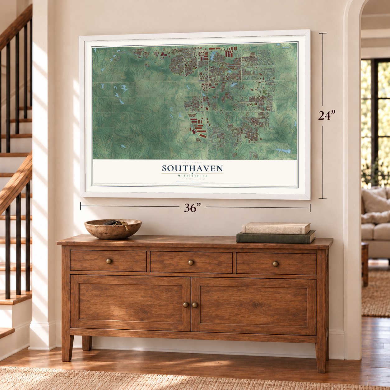
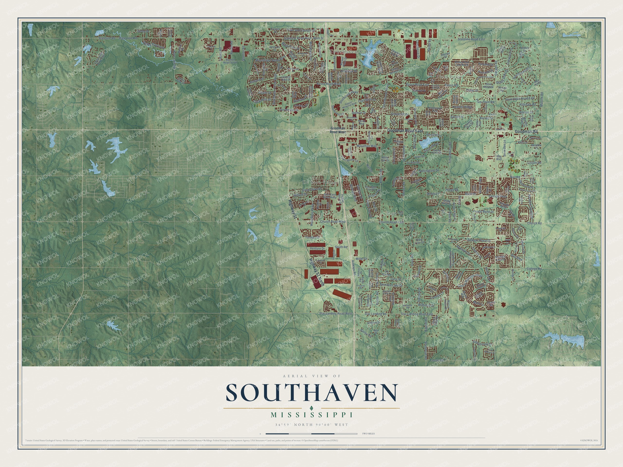
Southaven, Mississippi Map Art
Building by building, with labeled streets and shaded relief.
12" x 18" Archival Matte Print
A Map of Home. A Work of Art.
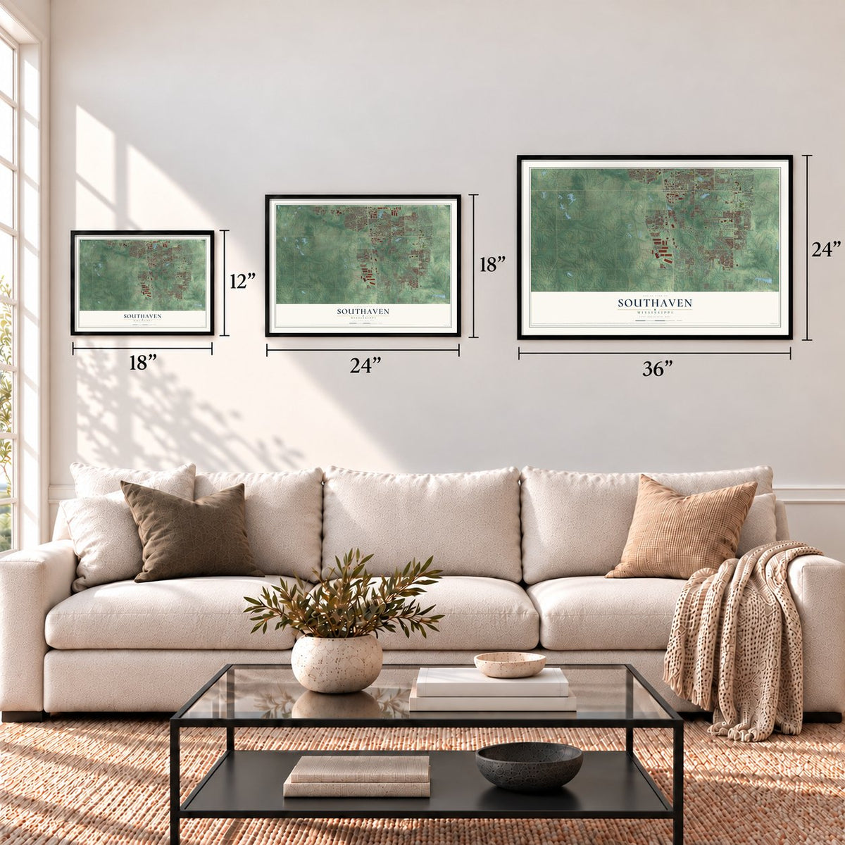
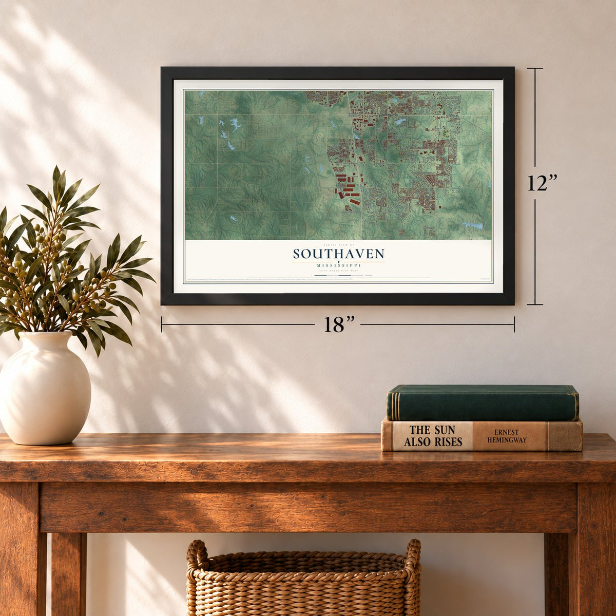
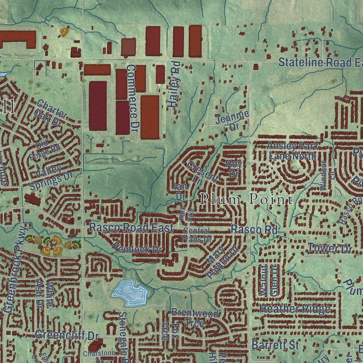
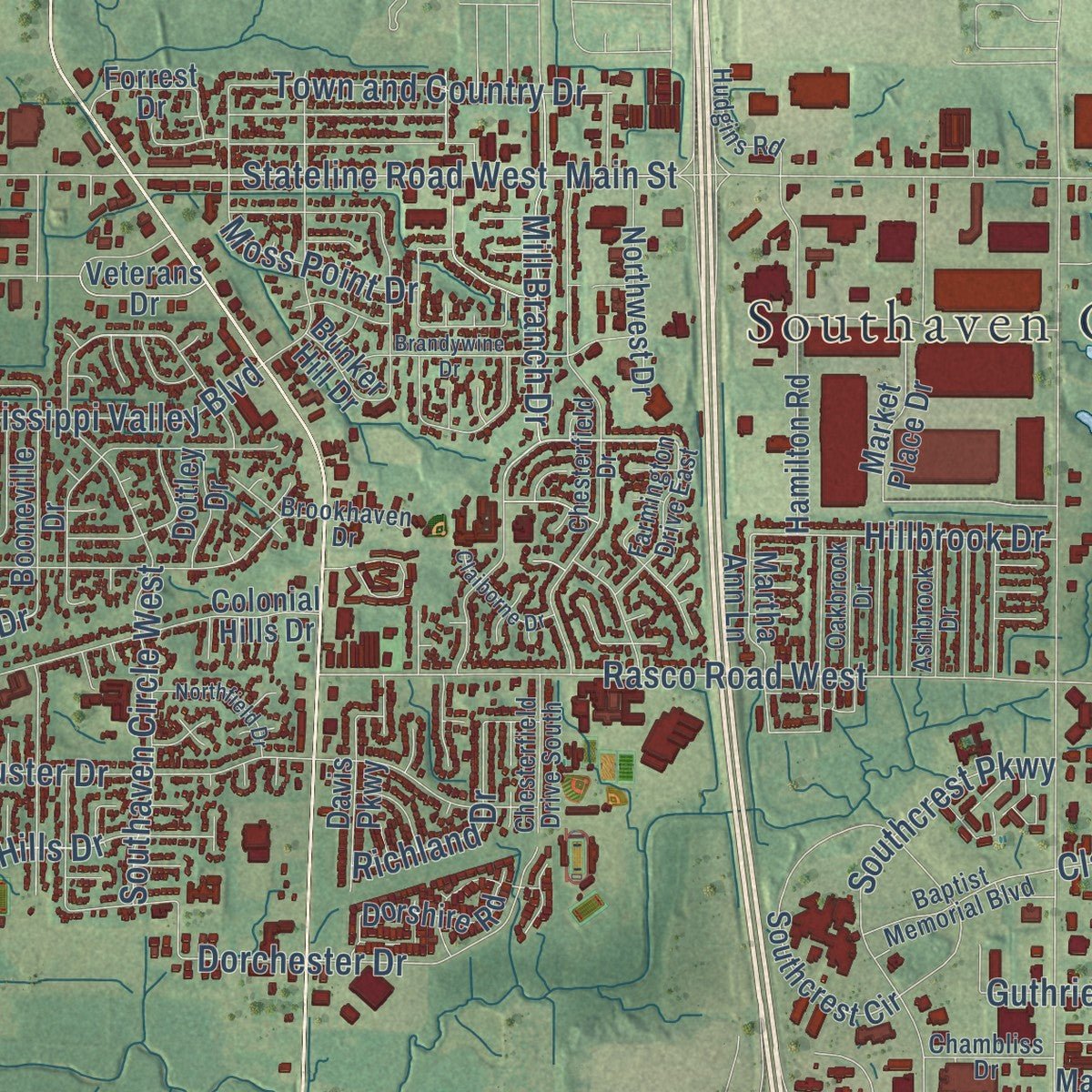
Explore Southaven, Mississippi from a whole new perspective. Created using aerial imagery and detailed geographic data, this map captures Southaven building by building, with labeled streets, familiar landmarks, and shaded topographical relief that highlights the natural contours of the landscape.
Combining modern data with the timeless character of a vintage atlas, this map is just as interesting up close as it is beautiful on the wall. Whether you grew up in Southaven, spent memorable years there, or call it home today, this unique map is a great way to celebrate a place that means something to you. Zoom in on the preview to look for your street, and then order a print to put your memories on the wall.
Three ways to hang it
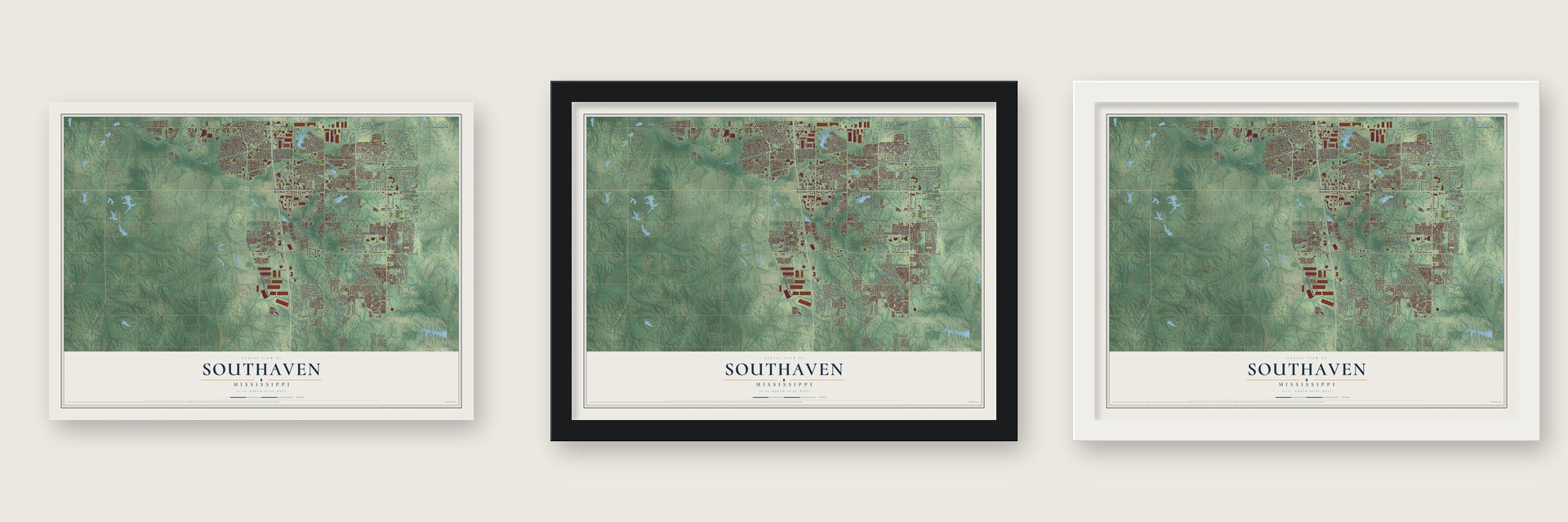
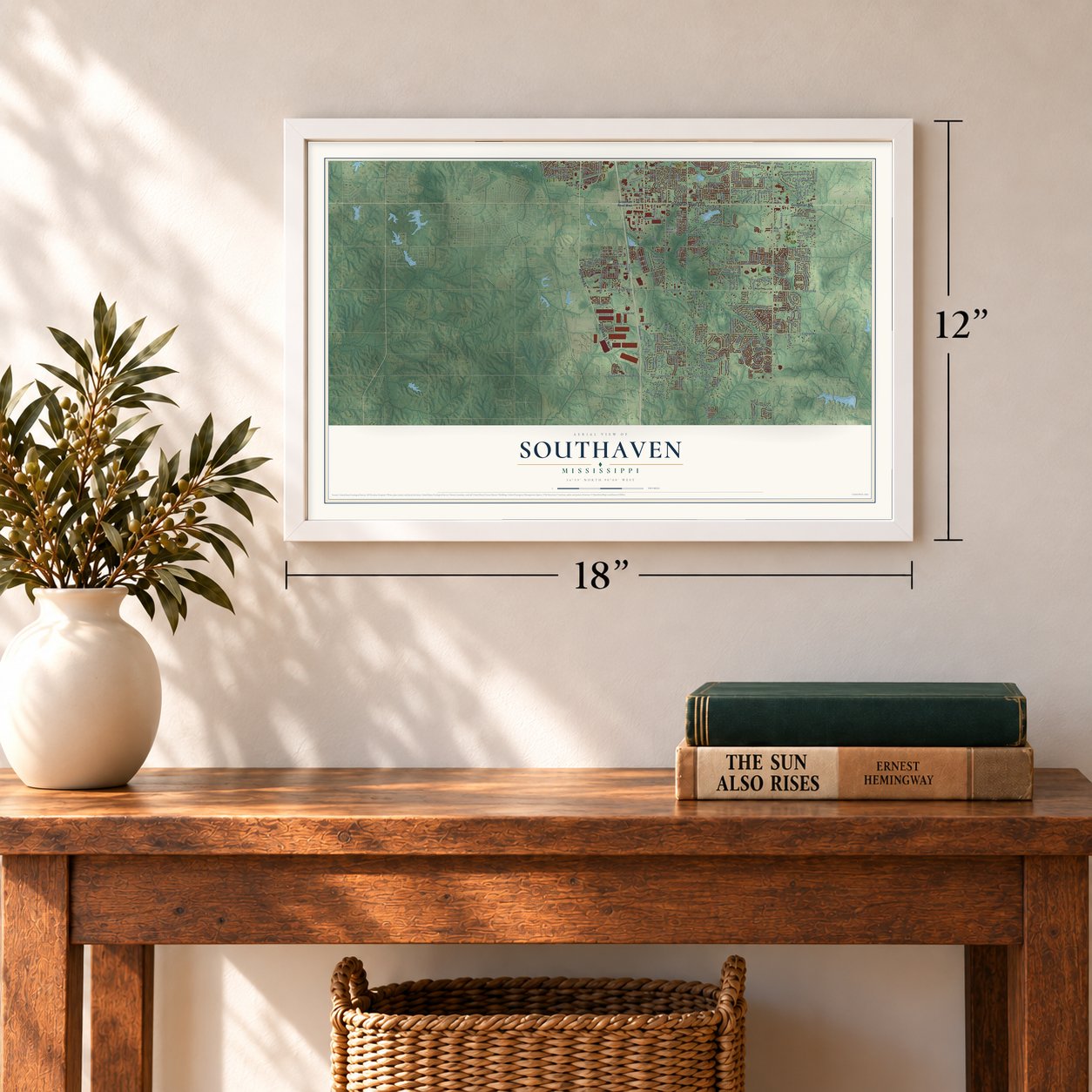
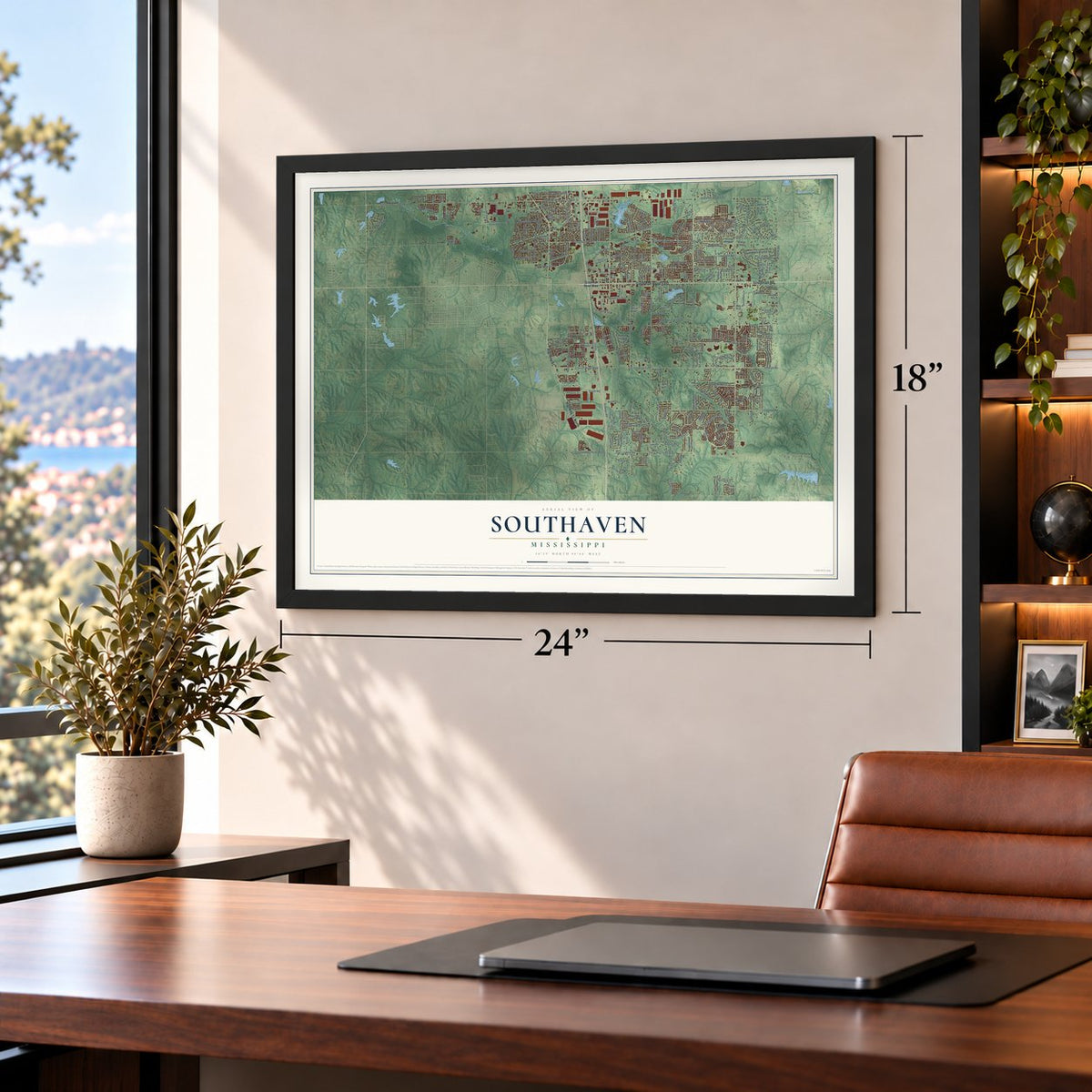
Unframed archival matte, a black wood frame or a white wood frame.
Up close
Geography Worth Displaying
This map was created using accurate cartographic data and authoritative geographic sources, including the U.S. Geological Survey and the Census Bureau. The map brings together terrain, waterways, roads, and building detail. The majority of the streets are labeled, houses are accurately depicted, and the topography is derived from government sources. Combining local data with carefully composed color and shading leads to this beautifully detailed Southaven artwork for your wall.
Rather than simply showing street outlines, we’ve included as many of the street names as we could reasonably fit on the map while keeping their names legible. Zoom in on the high resolution preview to see exactly what’s on the map. We truly set out to create a statement piece for anyone who loves Southaven. So whether it’s for you, or a gift for someone you love, we hope this map of Southaven brings back fond memories.
Read the story behind this map of Southaven, Mississippi from 2026.
Find your street
Names on the Southaven map
Every name below is printed on this map. Look for your street, your school, the park where you played, or the pond down the road.
Places and landmarks4
- Southaven City Hall
- De Soto Village
- Jago
- Plum Point
Streets and roads275
- Goodman Road
- Highway 51
- Highway 51 North
- Goodman Road East
- Airways Boulevard
- Church Road East
- Central Parkway
- Star Landing Road West
- Southcrest Parkway
- Snowden Lane
- Coral Hills Drive
- Turman Drive
- Sweet Flag Loop
- South Road
- Pyramid Drive
- Ashland Drive
- Getwell Road
- Swinnea Road
- Tchulahoma Road
- Stateline Road West
- College Road
- State Line Road
- Stateline Road East
- Star Landing Road
- Malone Road
- Airways Road
- Greencliff Drive
- Greenbrook Parkway
- Nail Road
- Elmore Road
Show all 275 streets
- Cherry Blossom Parkway
- Star Landing Road East
- Rasco Road East
- Church Road West
- Rasco Road West
- Lester Road
- Davis Road
- Rasco Road
- Venture Drive
- Horn Lake Road
- Southaven Circle West
- West Ross Parkway
- Jessica Drive
- Main Street
- Clarington Drive
- Dickens Place Drive
- Plum Point Road
- Church Road
- Summerwood Lane
- Hunter Road
- Baptist Road
- Stateline Road
- Bonner Drive
- Oakwood Lane
- Shady Oaks Drive
- Dorchester Drive
- Forest Bend Drive
- Barrett Drive
- Barrett Street
- Plum Point Road East
- Baird Drive
- Plum Tree Drive
- Great Oaks Drive
- Marathon Way
- Town and Country Drive
- Mill Branch Drive
- Custer Drive
- Tulane Road
- Long Street
- Meadow Pointe Drive
- Chalice Drive
- Wilborne Drive
- Windy Lane
- Mississippi Valley Boulevard
- Moss Point Drive
- Nottingham Drive
- Appleton Drive
- Nail Drive
- Lindsey Lane
- Hillbrook Drive
- Richland Drive
- Swinnea Lake Drive
- Steffani Drive
- Guthrie Drive
- Keebler Drive
- Bent Road
- Heather Ridge
- Henry Drive
- Hillsdale Road
- Pinnacle Drive
- Willard Drive
- Stonebrook Drive
- Rostin Road
- Stanton Road
- Shendoah Road
- Commerce Drive
- Swinea Road
- Jo Ann Drive
- Stargate Drive
- Liscott Road
- Tanya Way
- McCain Drive
- Pear Drive
- Bailey Road
- Kenton Drive
- Antler Trail
- Hailey Road
- Miller Drive
- Bop Boulevard
- Derby Drive
- Molly Lane
- Tower Drive
- Kings Road
- Doe Lane
- Goodman Road West
- Pepper Chase Drive
- Marcia Louise Drive
- West East Ross Parkway
- Southcrest Circle
- Colonial Hills Drive
- Town Square Lp
- Hamilton Road
- Mary Payton Drive
- White Ash Drive
- Market Place Drive
- Cresent Lane
- Whitten Place Drive
- Stanton Road South
- Daffodil Drive
- Hemlock Drive
- Stonegate Boulevard
- Woods Lane
- John Michael Drive
- Lakeshore Drive West
- Windy Ridge Drive
- Sherwood Lane
- Booneville Drive
- Stonehedge Drive
- Northwest Drive
- Dorshire Road
- Bell Pointe Drive
- Ansley Park Lane North
- Jewel Drive
- Bramble Crest Drive
- Shady Wind Drive
- Brentwood Trce
- Cedar Lake Drive East
- Legends Drive
- Liverpool Lane
- Valley Springs Drive
- Flora Lee Drive
- Dickens Place Drive West
- Courtyard Drive
- Jordan View Drive
- Evergreen Drive
- Stafford Drive
- Charter Oak Drive
- Woodland Trce East
- Country Oak Drive
- Timber Trail
- Hospitality Lane
- Davis Parkway
- Village Parkway
- Dove Hill Drive
- Aspen Way
- Ole Dan Road
- Malco Boulevard
- Dove Meadow
- Dixie Lynn Drive
- Martha Ann Lane
- Garden Road
- Greenbriar Drive
- Anthony Drive
- Forrest Drive
- Amanda Belle
- White Oak Drive
- Veterans Drive
- Garner Lane
- Trafalgar Drive
- Black Rock Road
- Cherry Tree Drive
- Bonfire Road
- Kristy Lane
- Rutland Drive
- Headin Lane
- Pecan Hill Road
- Bradley Drive
- Dottley Drive
- Meadow Lane
- Cherry Lake Cv
- Jeannie Drive
- Moore Drive
- Carter Drive
- Threatt Road
- Baily Lane
- Bunker Hill Drive
- Debbie Drive
- Glenda Gail Street
- Esrey Road
- Stacey Drive
- Hugh Lane
- Walnut Glen Drive
- May Boulevard
- Cherry Road
- Jade Lane
- Fox Trce
- Iris Drive
- Rita Drive
- Roy Drive
- Ian Drive
- Chesterfield Drive
- Brookhaven Drive
- Wilborne Road
- Chesterfield Drive South
- Rasco Road Extended
- McGowan Drive
- New Pointe Drive
- Central Trails Drive
- Baptist Memorial Boulevard
- Roman Forest Drive
- Dustin Place Drive
- Executive Drive
- Nicholas Lane
- Old Forge Road
- Farmington Drive East
- Epping Forest Drive
- Ashbrook Drive
- River Birch Trail Drive
- Hudgins Road
- Oakbrook Drive
- Chambliss Drive
- Nottaway Drive
- Windsor Lane
- Roseleigh Drive
- Boulder Crest Drive
- Banks Drive
- Brackett Road
- Cedar Hill Cv
- Frances Road
- Mary Jane Drive
- Donna Drive
- Belmont Drive
- Summer Knoll Drive
- Cotton Lane Drive
- Mahan
- Aniston Way
- Russ Cv
- Markston Drive
- Savannah Parkway
- Charleston Drive
- Brandywine Drive
- Enclave Drive
- Flower Creek Drive
- Deer Creek Lane
- Cobblewood Drive
- Northfield Drive
- Town Center Crossing
- Park Pike
- Wildwood Drive
- Elmwood Drive
- Old Getwell Road
- Charstone Drive
- Claiborne Drive
- River Point Drive
- Essayons Drive
- Grove Meadows Drive
- Pine Tar Alley
- Woodland Trce West
- Lakemont Drive
- Earlcastle Drive
- Bentley Woods Drive
- Deer Ridge Drive
- Iraon Circle
- Penny Cv
- Lilly Lane
Names are listed as they appear on the printed map. Zoom into the product photos to find them.
About Southaven, Mississippi
Southaven is a city of 54,648 people in DeSoto County, just across the Mississippi line from Memphis. It started as a village laid out by Kemmons Wilson, the Memphis homebuilder who founded Holiday Inn. He planned a few subdivisions of small starter homes on the Mississippi side of the border from Whitehaven, then an unincorporated area south of Memphis, and the new place took its name from sitting south of Whitehaven.
Memphis annexed Whitehaven in the 1970s. In that same decade Interstate 55 was built through Southaven, which made the drive from Memphis easier and put the town on a direct road to Jackson, St. Louis and Chicago. Southaven incorporated as a city in 1980, and within 20 years it had doubled its land area and tripled its population. By February 2011 it ranked as the third-largest city in Mississippi.
- DeSoto County's first high-riseBaptist Hospital-DeSoto opened in Southaven in 1988 as a two-story building. An expansion begun in 2001 nearly doubled its size, and in November 2006 the hospital opened an eleven-story tower with 140 more beds, so every patient could have a private room. The tower was the first high-rise ever built in DeSoto County.
- The Super Tuesday tornadoOn February 5, 2008, during the Super Tuesday tornado outbreak, an EF-2 tornado tore through Southaven and damaged many buildings. The Memphis station WREG showed the storm live on television as it crossed the city and moved on into Memphis. No one in Southaven was reported killed.
- John Grisham's hometownThe novelist John Grisham grew up in Southaven and later practiced law here for almost a decade, working as an attorney in DeSoto County during the 1980s. Some readers say they can find traces of the area in his books.
- The Dizzy Dean World SeriesEvery year Snowden Grove Baseball Park hosts the Dizzy Dean Baseball World Series, with teams from around the country playing in divisions for ages 5 to 19. The nearby Landers Center was home ice for the Mississippi RiverKings hockey team from 2000 to 2018, after the club moved down from Memphis.
Keep exploring Mississippi
Southaven is one of 461 Mississippi towns we've mapped. Every dot on the map is a print of its own.
The search covers every state, Mississippi first.
Near Southaven
Order 2 or more town maps and save 10%. Shown in the size and finish you picked above, so they hang as a set.
- Horn Lake 12" x 18" / Archival Matte Print $39.99
- Bridgetown 12" x 18" / Archival Matte Print $39.99
- Hernando 12" x 18" / Archival Matte Print $39.99

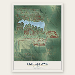
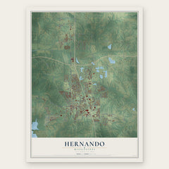
More maps nearby: Lynchburg, Olive Branch, Lakeview, Lewisburg and Walls.
The art of mapping a place
How This Map Was Made
Real places. Remarkable detail. Discover the layers that turn geographic data into a map of home.

The view from above
Aerial imagery reveals the character of the land: woodland, open fields, and the patterns of a place.

The shape of the land
Elevation data brings hills, valleys, and subtle changes in the landscape into view.

The details of home
Roads, waterways, and building footprints come together to make the map feel unmistakably local.

Geography becomes art
Considered color, shading, and typography bring the layers together in a map made for your wall.


Process illustrated with Mendon, Massachusetts. Aerial imagery: USDA NAIP. Terrain: USGS 3D Elevation Program. Map details and finished artwork: KNOWOL.
The Details
About This Print
Choose an archival matte print, or a black or white Ayous wood frame. The archival matte print is unframed.
Select your size and finish above to see the matching product image and price.
Materials & Craftsmanship
A contemporary map with the character of a classic atlas, printed on archival matte paper. Optional frames are made from Ayous wood.
Your printed map does not include the watermark shown in the full-map preview.
Shipping & Delivery
Free shipping within the United States. Every print is made to order in the USA.
Buying a gift? Add a note in your cart and we'll include it. We never put prices in the package.
Prints ship within 2 to 3 business days. Allow 7 to 10 days total from ordering for delivery. Timing may vary during holidays or periods of high order volume.
Read our shipping policy.
Returns and damaged prints
Each print is made to order. Change-of-mind refunds are not available after production.
If your print arrives damaged, misprinted or incorrect, contact support@knowol.com within 30 days of receiving it. Include your order number, photos and a description of the issue.
Read our full refund and replacement policy. For questions about your order, email support@knowol.com.