
Search for another town

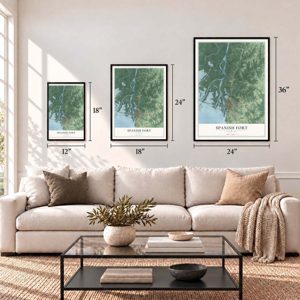
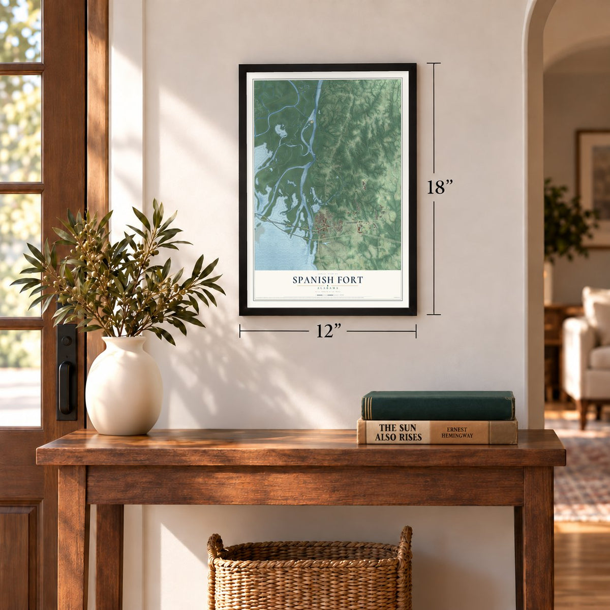
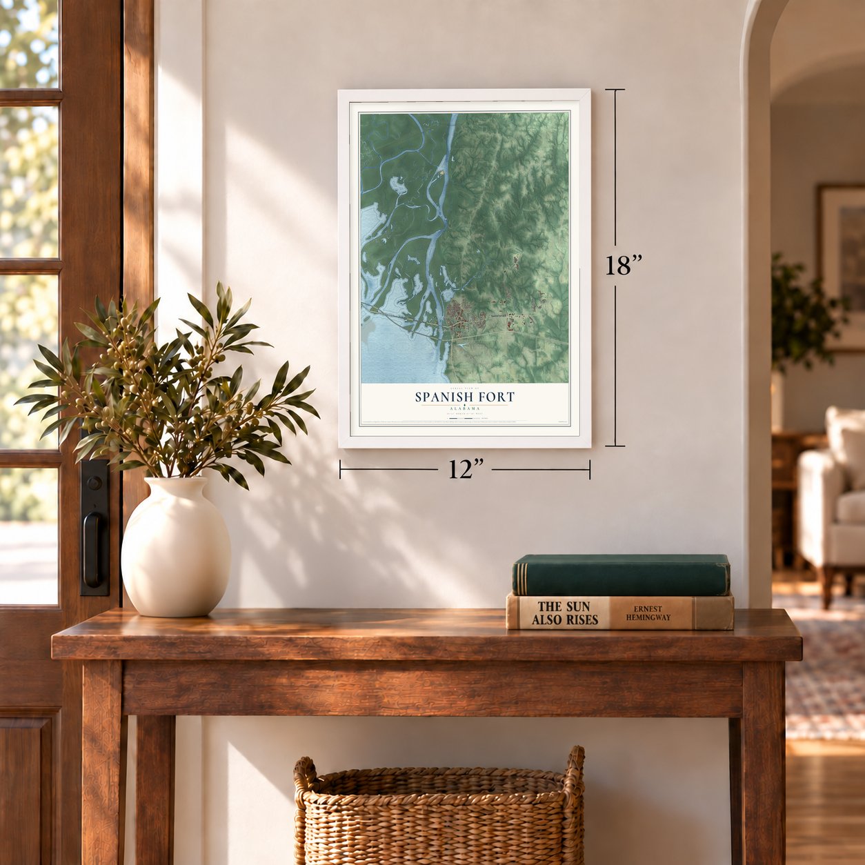

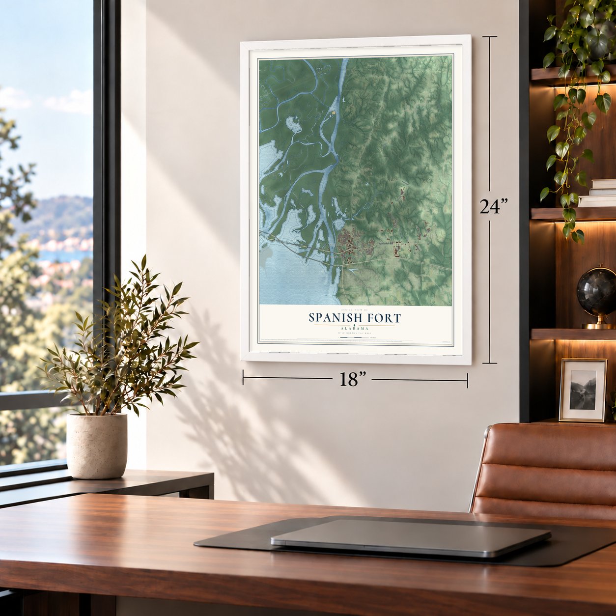
Free U.S. delivery 7 to 10 days after you order
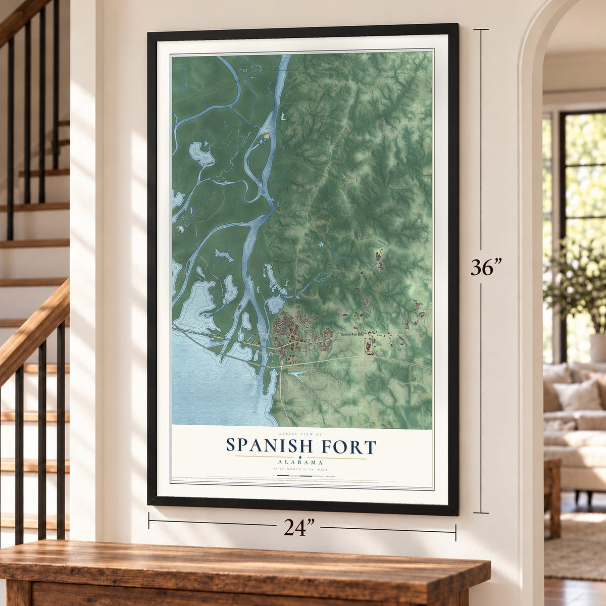
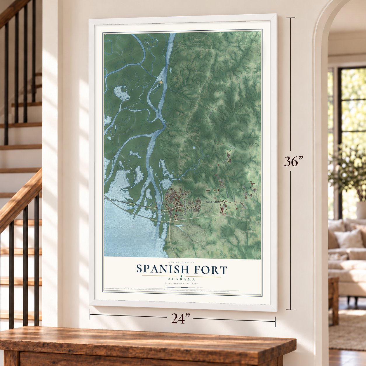
Spanish Fort, Alabama Map Art
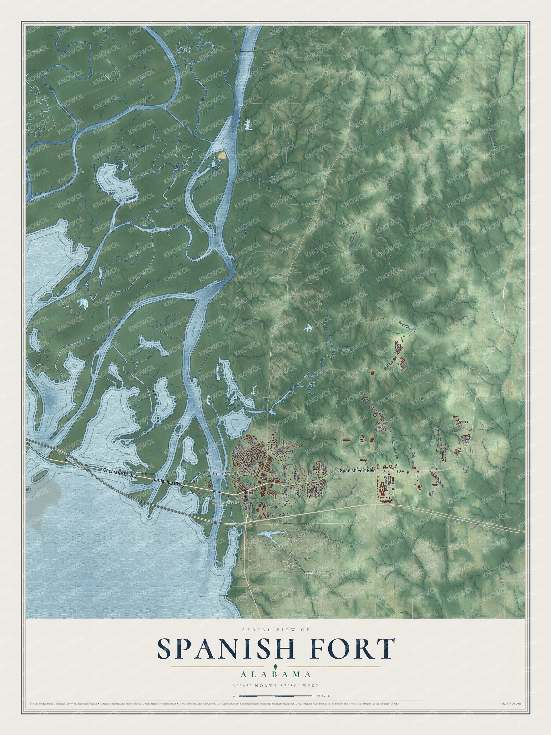
A new map of Spanish Fort, Alabama, made in 2026 and printed to order on thick archival matte paper.
12" x 18" Archival Matte Print
A Map of Home. A Work of Art.
Explore Spanish Fort, Alabama from a whole new perspective. Created using aerial imagery and detailed geographic data, this map captures Spanish Fort building by building, with labeled streets, familiar landmarks, and shaded topographical relief that highlights the natural contours of the landscape.
Combining modern data with the timeless character of a vintage atlas, this map is just as interesting up close as it is beautiful on the wall. Whether you grew up in Spanish Fort, spent memorable years there, or call it home today, this unique map is a great way to celebrate a place that means something to you. Zoom in on the preview to look for your street, and then order a print to put your memories on the wall.
Three ways to hang it
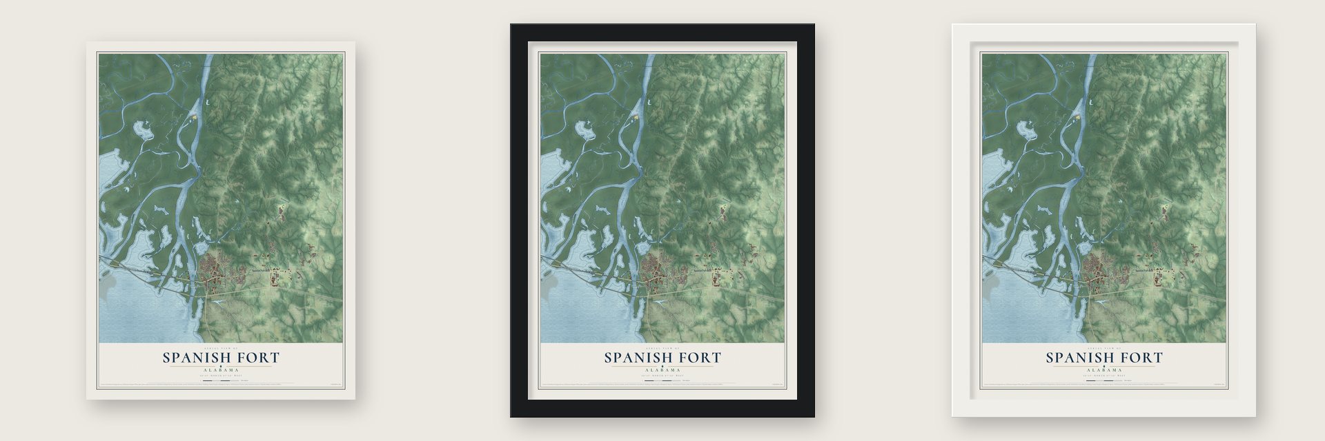
Unframed archival matte, a black wood frame or a white wood frame.
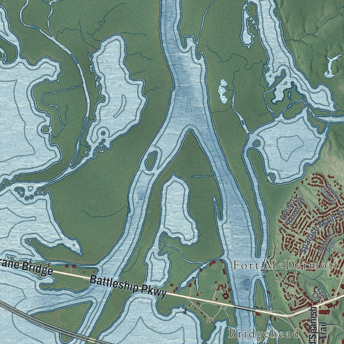
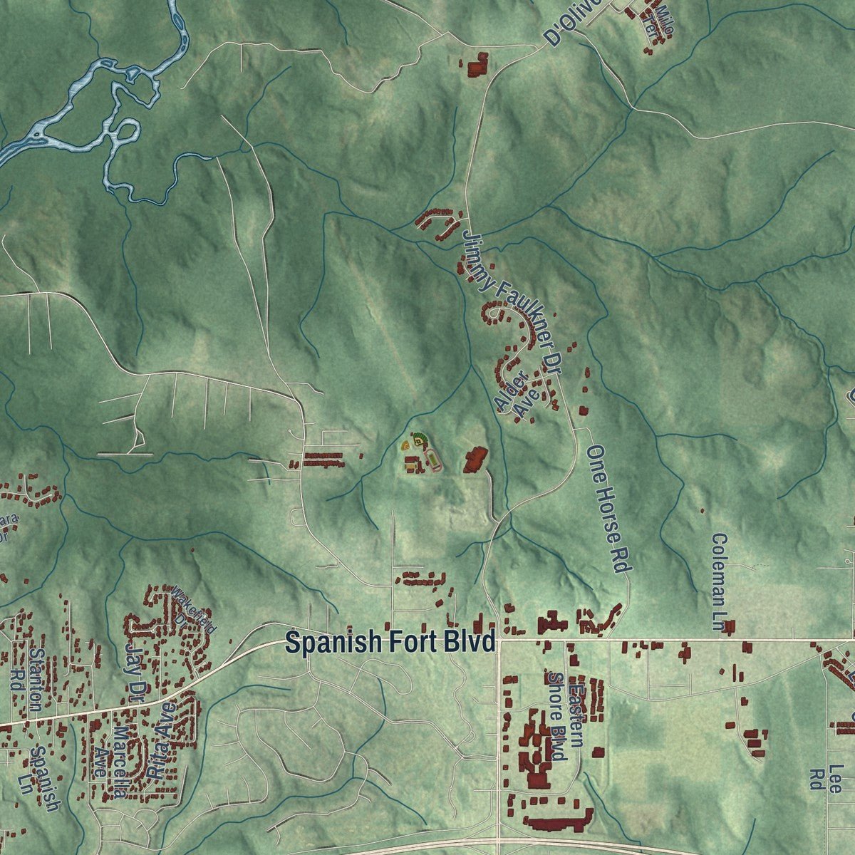
Up close
Geography Worth Displaying
This map was created using accurate cartographic data and authoritative geographic sources, including the U.S. Geological Survey and the Census Bureau. The map brings together terrain, waterways, roads, and building detail. The majority of the streets are labeled, houses are accurately depicted, and the topography is derived from government sources. Combining local data with carefully composed color and shading leads to this beautifully detailed Spanish Fort artwork for your wall.
Rather than simply showing street outlines, we’ve included as many of the street names as we could reasonably fit on the map while keeping their names legible. Zoom in on the high resolution preview to see exactly what’s on the map. We truly set out to create a statement piece for anyone who loves Spanish Fort. So whether it’s for you, or a gift for someone you love, we hope this map of Spanish Fort brings back fond memories.
Read the story behind this map of Spanish Fort, Alabama from 2026.

About Spanish Fort, Alabama
Spanish Fort is a city of 10,049 people in Baldwin County, set above the eastern shore of Mobile Bay where the Blakeley River meets it. Sometime between 1750 and 1760, Louis Augustin Rochon, whose father Charles Rochon helped found Mobile, started a plantation on the bluffs above the river, and it grew fairly wealthy. During the Revolution, on October 1, 1780, Choctaw warriors raided and burned the plantation, killed three members of the household and marched the rest of the family to Pensacola, where the British general John Campbell paid a ransom to free them.
Spanish Fort owes its name to a Civil War recommendation. In August 1864, Col. John H. Gindrat advised a Confederate engineer to build Mobile's eastern defenses at "the old Spanish Fort." That fall, troops under Maj. Gen. Dabney H. Maury dug batteries, rifle pits and trenches running more than a mile. Union forces under Maj. Gen. Edward R. S. Canby attacked its 1,800 defenders in late March 1865, and after a heavy bombardment on April 8 the Confederates slipped away that night through the swamps to Fort Blakeley. With both forts lost, Union troops later marched into Mobile without a fight.
- Gálvez's blockhouse of 1780In 1780, Spanish forces under Bernardo de Gálvez built a blockhouse with two cannon on the bluffs across from Mobile. In January 1781 about 150 Spanish soldiers held it through a day of fighting against British troops, Indian allies and warships.
- Which Spanish fort?For years Gálvez's fort was placed here, but historians now think it more likely stood at today's Daphne, near Village Point. Archaeological evidence suggests the post Gindrat named in 1864 was a smaller Spanish outpost from later in the colonial period.
- A battlefield under the townSo little is left of the 1865 battle that the site has never joined the National Register of Historic Places. The U.S. Department of the Interior found the ground changed beyond recognition as the town grew, though traces of the old entrenchments can still be seen.
- Bridgehead became a city in 1993The area was rural farmland with no settlement of its own until a causeway joined Mobile and Baldwin counties. A community called Bridgehead grew up at its eastern end, and that community became the city of Spanish Fort when it incorporated on July 19, 1993.
- A city hall of its ownThe young city broke ground on November 1, 2012, for a community center where Blakeley Way meets Spanish Fort Boulevard, on the northwest side of that intersection. City staff moved in during September 2015, and the building now holds the library, the mayor's office and the city's administrative offices.
Find your street
Names on the Spanish Fort map
Every name below is printed on this map. Look for your street, your school, the park where you played, or the pond down the road.
Places and landmarks2
- Fort McDermott
- Bridgehead
Streets and roads42
- Cochrane Bridge
- Battleship Parkway
- Spanish Fort Boulevard
- Jimmy Faulkner Drive
- Bromley Road
- White Road
- D'Olive Road
- Spanish Main Street
- Blakeley Way
- One Horse Road
- Bass Pro Drive
- D'Olive
- Calder Court
- North Svc Road
- Wayside Drive
- Rita Avenue
- Jay Drive
- Old Spanish Trail
- Eastern Shore Boulevard
- Artillery Range Street
- Lee Road
- Marcella Avenue
- Spanish Lane
- Stanton Road
- Lodgepole Court
- Coleman Lane
- Gracie Lane
- Alder Avenue
- Rhett Drive
- Paisley Avenue
Show all 42 streets
- Lee Circle
- Caisson Trce
- Arlington Boulevard
- Stroh Road
- Johnson Cemetery Road
- School Road
- Fiesta Drive
- Ariel Way
- Milo Terrace
- O'Hara Drive
- Wakefield Drive
- General Canby Drive
Names are listed as they appear on the printed map. Zoom into the product photos to find them.
The art of mapping a place
How This Map Was Made
Real places. Remarkable detail. Discover the layers that turn geographic data into a map of home.

The view from above
Aerial imagery reveals the character of the land: woodland, open fields, and the patterns of a place.

The shape of the land
Elevation data brings hills, valleys, and subtle changes in the landscape into view.

The details of home
Roads, waterways, and building footprints come together to make the map feel unmistakably local.

Geography becomes art
Considered color, shading, and typography bring the layers together in a map made for your wall.


Process illustrated with Mendon, Massachusetts. Aerial imagery: USDA NAIP. Terrain: USGS 3D Elevation Program. Map details and finished artwork: KNOWOL.
The Details
About This Print
Choose an archival matte print, or a black or white Ayous wood frame. The archival matte print is unframed.
Select your size and finish above to see the matching product image and price.
Materials & Craftsmanship
A contemporary map with the character of a classic atlas, printed on archival matte paper. Optional frames are made from Ayous wood.
Your printed map does not include the watermark shown in the full-map preview.
Shipping & Delivery
Free shipping within the United States. Every print is made to order in the USA.
Buying a gift? Add a note in your cart and we'll include it. We never put prices in the package.
Prints ship within 2 to 3 business days. Allow 7 to 10 days total from ordering for delivery. Timing may vary during holidays or periods of high order volume.
Read our shipping policy.
Returns and damaged prints
Each print is made to order. Change-of-mind refunds are not available after production.
If your print arrives damaged, misprinted or incorrect, contact support@knowol.com within 30 days of receiving it. Include your order number, photos and a description of the issue.
Read our full refund and replacement policy. For questions about your order, email support@knowol.com.
Find your town
Looking for another city?
Find a map of home in our Alabama collection, or any town in the country.
Nearby
Maps of towns near Spanish Fort
Know someone from one of these towns? Their map makes a great gift.
 Stapleton
, Alabama
From $39.99See the map
 Daphne
, Alabama
From $39.99See the map
 Loxley
, Alabama
From $39.99See the map
More maps nearby: Africatown, Bay Minette, Chickasaw, Toulminville and Creola.