
Search for another town



Free U.S. delivery 7 to 10 days after you order
Spokane Valley, Washington Map Art
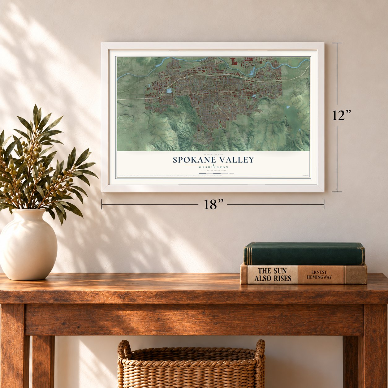
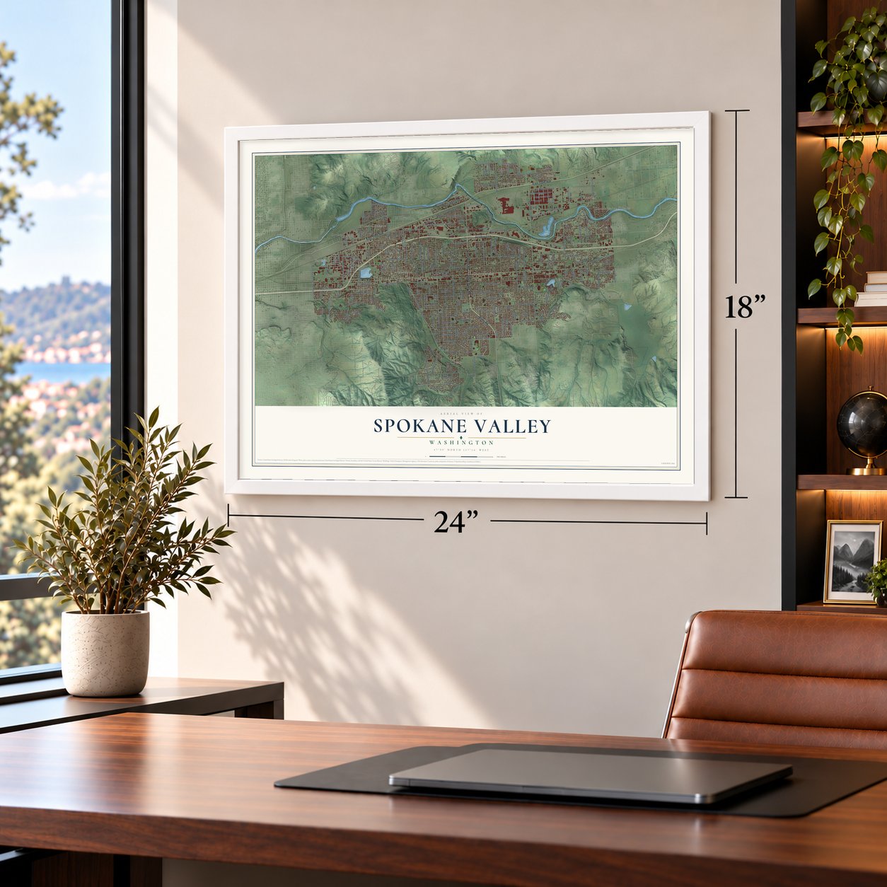
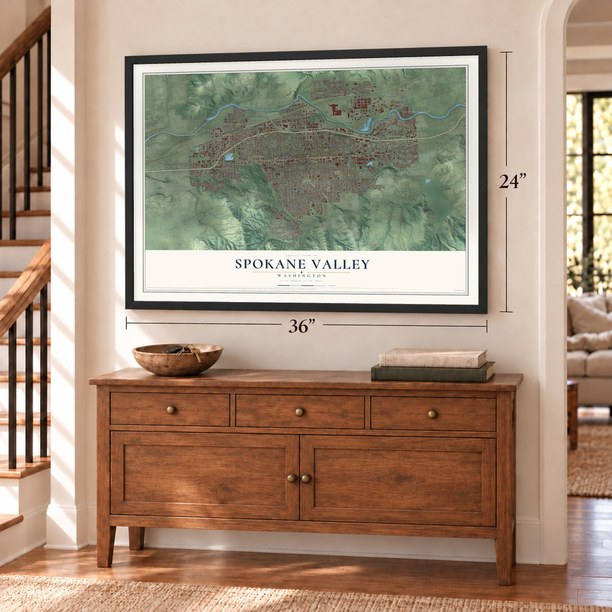
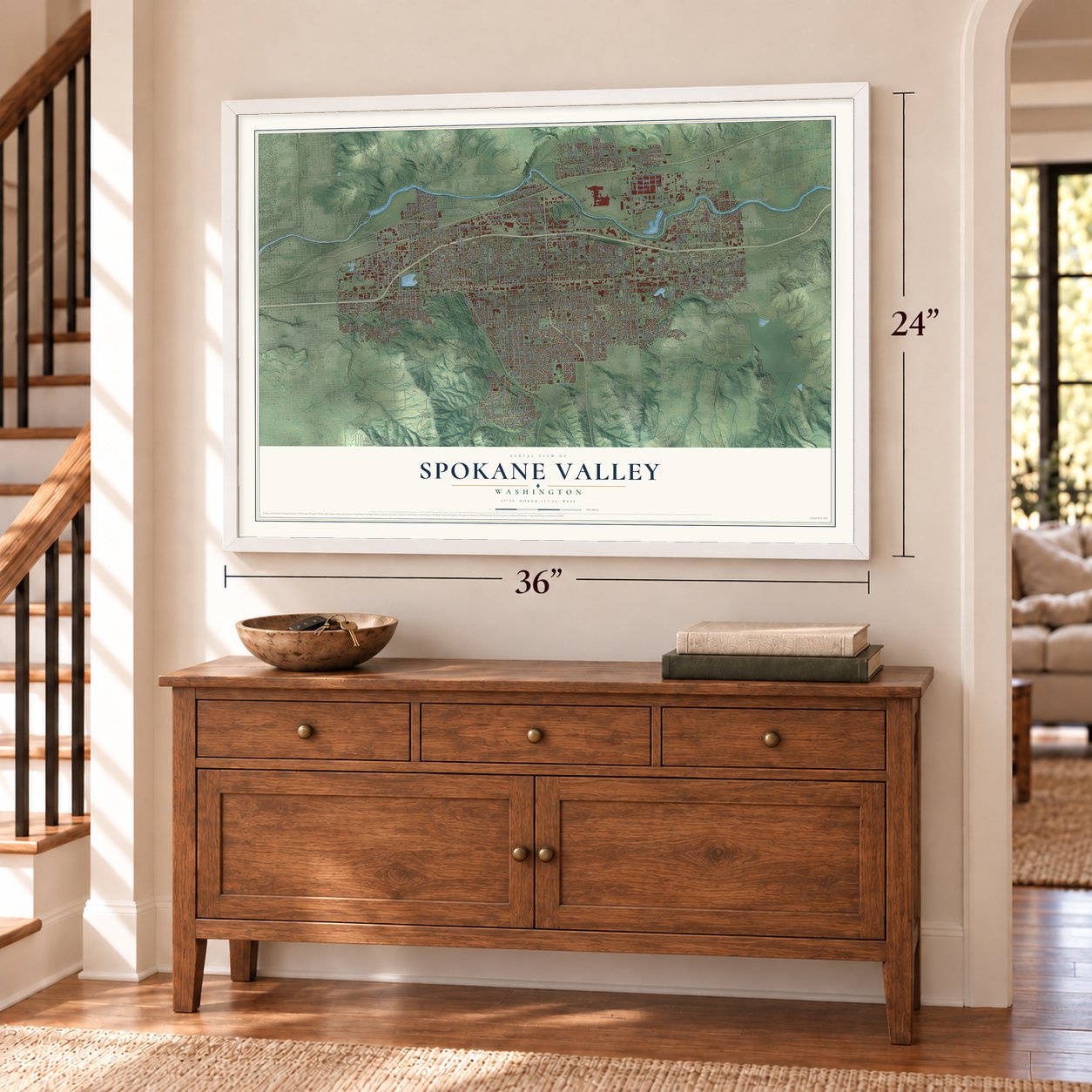
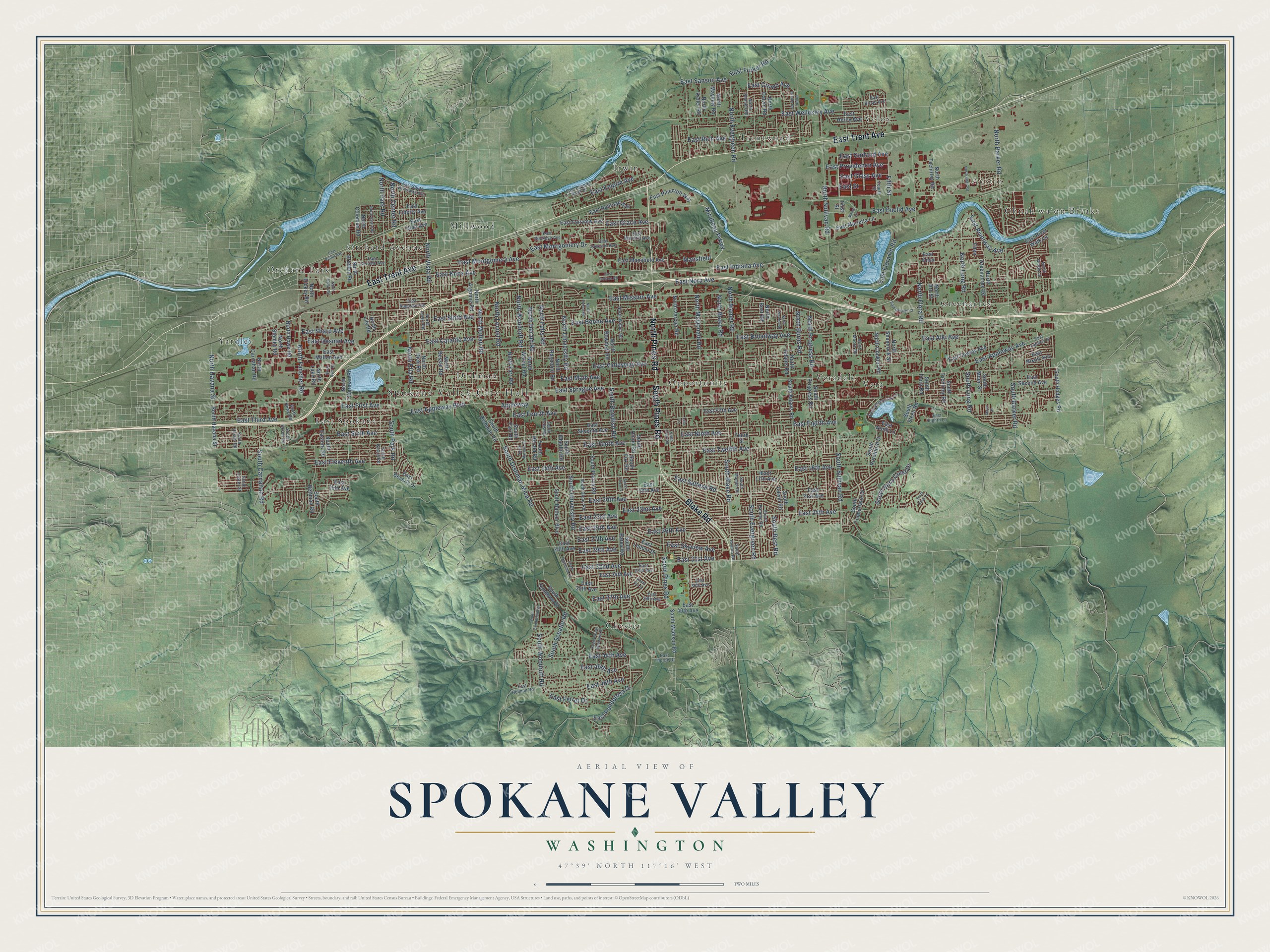
A new map of Spokane Valley, Washington, made in 2026 and printed to order on thick archival matte paper.
12" x 18" Archival Matte Print
A Map of Home. A Work of Art.
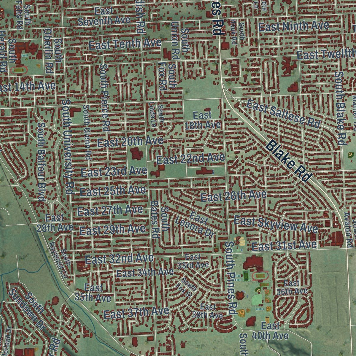
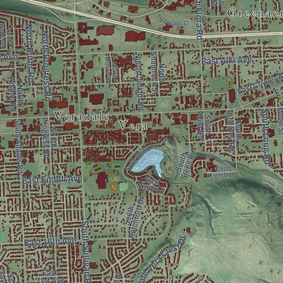
Explore Spokane Valley, Washington from a whole new perspective. Created using aerial imagery and detailed geographic data, this map captures Spokane Valley building by building, with labeled streets, familiar landmarks, and shaded topographical relief that highlights the natural contours of the landscape.
Combining modern data with the timeless character of a vintage atlas, this map is just as interesting up close as it is beautiful on the wall. Whether you grew up in Spokane Valley, spent memorable years there, or call it home today, this unique map is a great way to celebrate a place that means something to you. Zoom in on the preview to look for your street, and then order a print to put your memories on the wall.
Three ways to hang it
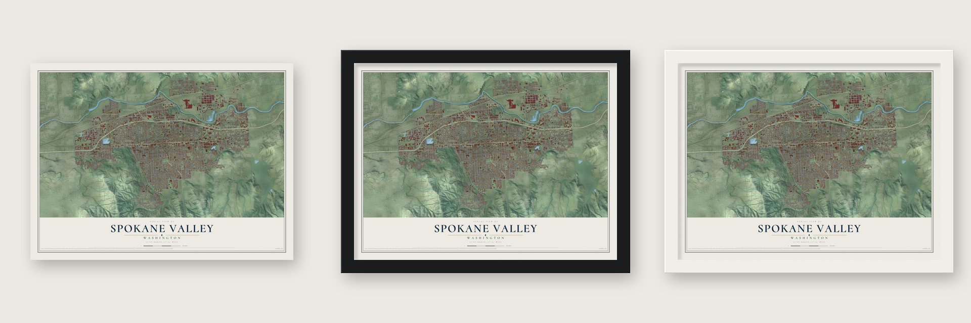
Unframed archival matte, a black wood frame or a white wood frame.
Up close
Geography Worth Displaying
This map was created using accurate cartographic data and authoritative geographic sources, including the U.S. Geological Survey and the Census Bureau. The map brings together terrain, waterways, roads, and building detail. The majority of the streets are labeled, houses are accurately depicted, and the topography is derived from government sources. Combining local data with carefully composed color and shading leads to this beautifully detailed Spokane Valley artwork for your wall.
Rather than simply showing street outlines, we’ve included as many of the street names as we could reasonably fit on the map while keeping their names legible. Zoom in on the high resolution preview to see exactly what’s on the map. We truly set out to create a statement piece for anyone who loves Spokane Valley. So whether it’s for you, or a gift for someone you love, we hope this map of Spokane Valley brings back fond memories.
Read the story behind this map of Spokane Valley, Washington from 2026.

About Spokane Valley, Washington
Spokane Valley is a city of 102,976 people in Spokane County, spread along the Spokane River between Spokane and the Idaho line. The Upper Band of the Spokanes and the Coeur d'Alene Tribe lived here first and grazed their horses on its bunchgrass. Around 1852 Antoine Plante, a former Hudson's Bay Company trapper, settled at an old crossing on the river. In about 1854 he built a ferry there, and Captain John Mullan, who was building a military road, called it "a good one."
Farming came slowly, because the gravelly ground had to be cleared of rocks and only about 17 inches of rain fell each year. In 1895 an irrigation company began bringing in water from Newman Lake and Hayden Lake. Then in 1900 a farmer named Albert Kelly sank a well 50 feet deep and struck the Spokane Aquifer, an underground river that gave him 350 gallons a minute. The Modern Electric Water Company was organized in 1905, and Vera Electric Water and Power Company followed in 1908. Soon dozens of pumps were pulling water from hand-dug wells.
“Do you think that because your mother was white and theirs dark, that you are higher and better?”
- Horses slain in 1858In 1855 Governor Isaac Stevens held a council at Plante's cabin, pressing the Spokane and Coeur d'Alene chiefs to sell their land and move to a reservation. Chief Garry, a Spokane spokesman, argued against it. In the 1858 war, Col. George Wright defeated the tribes in two battles east of today's Spokane. Near the river by the Idaho line he gathered 800 to 900 Indian horses and killed nearly all. The Upper Spokanes still stayed in the valley.
- 1.6 million apple treesThe Modern Electric Water Company planted a test plot with every crop that seemed likely to grow, plus cotton and peanuts, and decided apples paid best. By 1922 the valley held more than 1.6 million apple trees, and the road to Coeur d'Alene became the Appleway because orchards lined it for miles. Each May sightseers climbed the rocky points to look down on the blossoms. Apples led until about 1925, when truck farming took over.
- From farms to suburbBefore World War II the valley was mostly farms, with 10,000 people in 1940. During the war a huge aluminum plant opened at Trentwood and created hundreds of jobs. Newcomers began settling here, where it was quieter and less crowded than Spokane. The valley had about 45,000 people by 1960 and 60,000 by 1970.
- A city on the fifth tryAfter four failed attempts, valley voters approved a city on May 21, 2002. Supporters wanted more say in local government and feared annexation by Spokane, while opponents warned of higher taxes. The city became official on March 31, 2003, joining Dishman, Opportunity, Trentwood, Veradale and other communities into 37 square miles. It was instantly the ninth largest city in Washington.
- A museum in OpportunityOpportunity Township Hall, built in the Spanish mission revival style, joined the National Register in 2005. That same year the Spokane Valley Heritage Museum opened inside it, with old newspapers, photographs and exhibits on the valley's Native people, its apple orchards and its early days of flight.
Find your street
Names on the Spokane Valley map
Every name below is printed on this map. Look for your street, your school, the park where you played, or the pond down the road.
Places and landmarks17
- Spokane Valley City Hall
- Austin
- Yardley
- Chester
- Chnak'wa'qn Breaks
- Dishman
- East Spokane
- Greenacres
- Irwin
- Millwood
- Opportunity
- Orchard Avenue
Show all 17 places
- Orchard Park
- Trentwood
- Velox
- Vera
- Veradale
Streets and roads239
- East Trent Avenue
- North Pines Road
- Blake Road
- South Pines Road
- East Mission Avenue
- East Indiana Avenue
- East 16th Avenue
- East Twelfth Avenue
- East 24th Avenue
- East First Avenue
- North Vista Road
- East Broadway Avenue
- East Sprague Avenue
- East Fourth Avenue
- East Eighth Avenue
- East Valleyway Avenue
- East Boone Avenue
- East Alki Avenue
- East Sixth Avenue
- East Cataldo Avenue
- East Main Avenue
- South Dishman Mica Road
- East Euclid Avenue
- East Tenth Avenue
- East Ninth Avenue
- North Sullivan Road
- South Bowdish Road
- East 14th Avenue
- North Barker Road
- East Eleventh Avenue
Show all 239 streets
- East Third Avenue
- North Flora Road
- North Evergreen Road
- East Nora Avenue
- East Wellesley Avenue
- East 20th Avenue
- East Sinto Avenue
- North Park Road
- South University Road
- East Sharp Avenue
- East 32nd Avenue
- East Desmet Avenue
- Mirabeau Prkwy
- East 23rd Avenue
- East 22nd Avenue
- East Montgomery Drive
- South Evergreen Road
- North Ella Road
- East Montgomery Avenue
- East 26th Avenue
- East 25th Avenue
- North Progress Road
- North McDonald Road
- South Blake Road
- East 27th Avenue
- South Sullivan Road
- East Knox Avenue
- East 31st Avenue
- East Rich Avenue
- South Woodruff Road
- North University Road
- East Grace Avenue
- North Locust Road
- North Fancher Road
- North Long Road
- North Center Road
- East 44th Avenue
- East Appleway Avenue
- North Felts Road
- North Burns Road
- South Carnahan Road
- East Saltese Road
- North Mullan Road
- North Woodruff Road
- East Skyview Avenue
- East 29th Avenue
- East Flora Pit Road
- North Herald Road
- East Empire Avenue
- East 48th Avenue
- East Appleway Boulevard
- Appleway
- East Glass Avenue
- South Best Road
- North Blake Road
- East Ferret Drive
- Mansfield
- South Schafer Road
- East Riverway Avenue
- South Park Road
- North Mamer Road
- East Providence Avenue
- South Barker Road
- East 46th Avenue
- North Havana Street
- East 37th Avenue
- South Vera Crest Drive
- East Crown Avenue
- East Ponderosa Drive
- East Sanson Avenue
- Fifth Street
- East Forker Road
- East Garland Avenue
- South Long Road
- East Street
- East Railroad Avenue
- North Thierman Road
- South Eastern Road
- East Second Avenue
- East 15th Avenue
- East Seventh Avenue
- East 18th Avenue
- East Fifth Avenue
- South Pierce Road
- East 17th Avenue
- North Argonne Road
- South Progress Road
- South Adams Road
- North Bowdish Road
- North Best Road
- East 28th Avenue
- East Fairview Avenue
- East 21st Avenue
- North Dick Road
- South Union Road
- East Heroy Avenue
- East Mansfield Avenue
- North Bessie Road
- East Nixon Avenue
- East Mallon Avenue
- North Greenacres Road
- North Adams Road
- East Utah Avenue
- South Bates Road
- South Steen Road
- South Rotchford Drive
- South Dishman Road
- South Timberlane Drive
- South Farr Road
- South Balfour Boulevard
- North Mayhew Road
- North Farr Road
- North Bradley Road
- South Herald Road
- East Liberty Avenue
- North Coleman Road
- East Marietta Lane
- North Vercler Road
- East 35th Avenue
- North Lily Road
- South Oberlin Road
- North Conklin Road
- North Tschirley Road
- North Calvin Road
- South Havana Street
- East Lenora Drive
- South Calvin Road
- East Cowley Avenue
- East 40th Avenue
- North Raymond Road
- South Sundown Drive
- East 34th Avenue
- South Fox Road
- North Lake Road
- North Walnut Road
- First Street
- South Madison Road
- East Pinecroft Way
- South Bettman Road
- South Hodges Road
- South Tschirley Road
- North Keller Road
- North Arc Street
- East River Walk Lane
- North Howe Road
- North Shamrock Street
- North Stanley Road
- North Carnahan Road
- East Beverly Drive
- North Dickey Road
- South Flora Road
- East Ninth Lane
- South Moen Street
- East Knox
- Eden
- Tenth Street
- South Mamer Road
- East Buckeye Avenue
- East Marietta Avenue
- South Glenn Road
- North Moore Road
- North Wilbur Road
- North Bannen Road
- East Coyote Rock Drive
- East Augusta Avenue
- East Holman Road
- East Jackson Avenue
- South Felts Road
- South Bannen Road
- East Carlisle Avenue
- South Girard Road
- East 36th Avenue
- East 33rd Avenue
- East Broad Avenue
- East Laberry Drive
- East South Riverway Avenue
- East 38th Avenue
- South Howe Road
- Fourth Street
- South Custer Road
- North Grady Lane
- South Koren Road
- North Lewis Road
- South Avalon Road
- East Thorpe Drive
- East Eighth Lane
- South Custer Street
- East Rutter Avenue
- South Shelley Lake Lane
- South Sunderland Drive
- North Dyer Road
- North Pierce Road
- South Houk Road
- North Girard Road
- South Forest Meadows Drive
- North Dollar Road
- South Raymond Circle
- North Lucille Road
- North Eden Road
- East Desmet Court
- North Warren Road
- South Mariam Street
- Moore Lane
- East Indiana Road
- South Dusk Lane
- South Linda Lane
- Moen Street
- South Fox Street
- Leta Lane
Names are listed as they appear on the printed map. Zoom into the product photos to find them.
The art of mapping a place
How This Map Was Made
Real places. Remarkable detail. Discover the layers that turn geographic data into a map of home.

The view from above
Aerial imagery reveals the character of the land: woodland, open fields, and the patterns of a place.

The shape of the land
Elevation data brings hills, valleys, and subtle changes in the landscape into view.

The details of home
Roads, waterways, and building footprints come together to make the map feel unmistakably local.

Geography becomes art
Considered color, shading, and typography bring the layers together in a map made for your wall.


Process illustrated with Mendon, Massachusetts. Aerial imagery: USDA NAIP. Terrain: USGS 3D Elevation Program. Map details and finished artwork: KNOWOL.
The Details
About This Print
Choose an archival matte print, or a black or white Ayous wood frame. The archival matte print is unframed.
Select your size and finish above to see the matching product image and price.
Materials & Craftsmanship
A contemporary map with the character of a classic atlas, printed on archival matte paper. Optional frames are made from Ayous wood.
Your printed map does not include the watermark shown in the full-map preview.
Shipping & Delivery
Free shipping within the United States. Every print is made to order in the USA.
Buying a gift? Add a note in your cart and we'll include it. We never put prices in the package.
Prints ship within 2 to 3 business days. Allow 7 to 10 days total from ordering for delivery. Timing may vary during holidays or periods of high order volume.
Read our shipping policy.
Returns and damaged prints
Each print is made to order. Change-of-mind refunds are not available after production.
If your print arrives damaged, misprinted or incorrect, contact support@knowol.com within 30 days of receiving it. Include your order number, photos and a description of the issue.
Read our full refund and replacement policy. For questions about your order, email support@knowol.com.
Find your town
Looking for another city?
Find a map of home in our Washington collection, or any town in the country.
Nearby
Maps of towns near Spokane Valley
Know someone from one of these towns? Their map makes a great gift.
 Millwood
, Washington
From $39.99See the map
 Liberty Lake
, Washington
From $39.99See the map
 Otis Orchards-East Farms
, Washington
From $39.99See the map
More maps nearby: Spokane, Mead, Town and Country, Country Homes and Green Bluff.