
Search for another town
Free U.S. delivery 7 to 10 days after you order
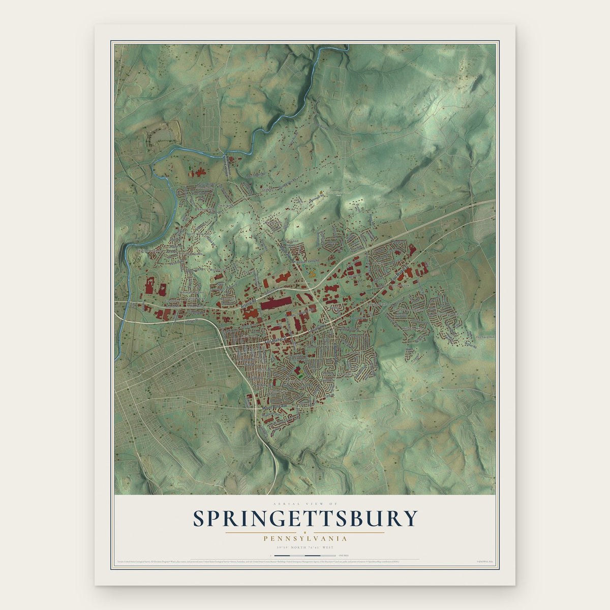
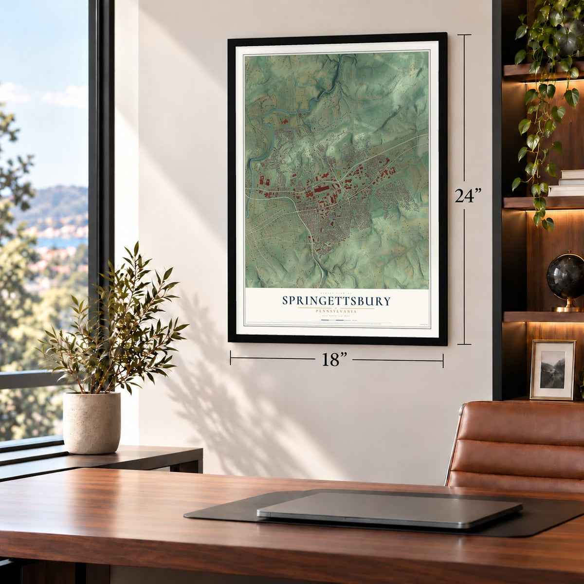
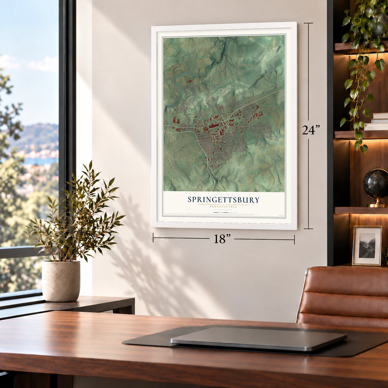
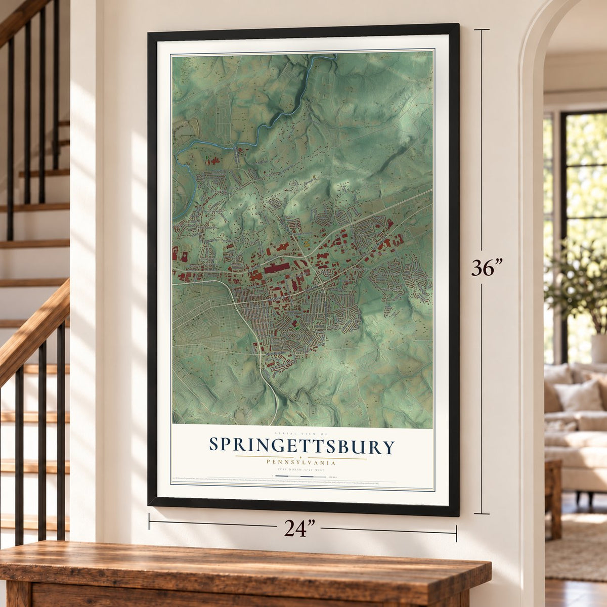
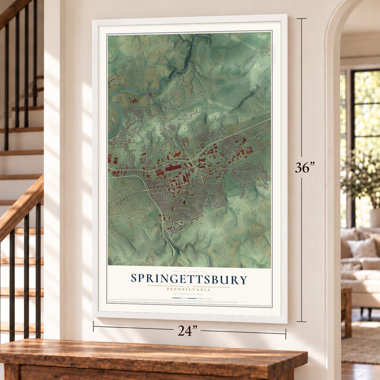
Springettsbury, Pennsylvania Map Art
Building by building, with labeled streets and shaded relief.
12" x 18" Archival Matte Print
A Map of Home. A Work of Art.
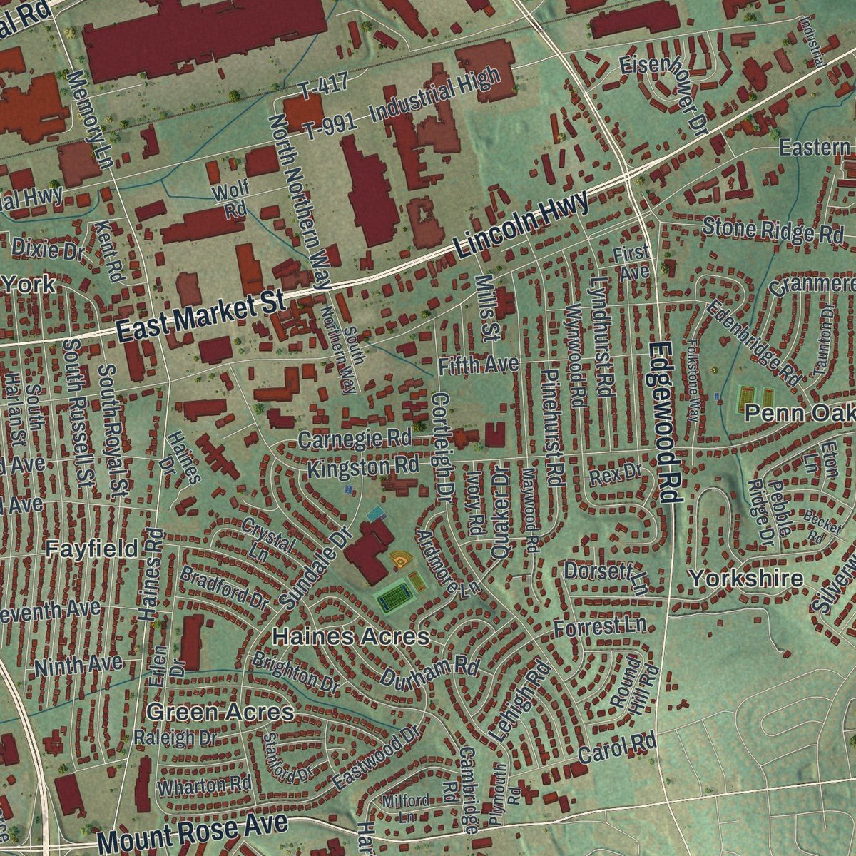
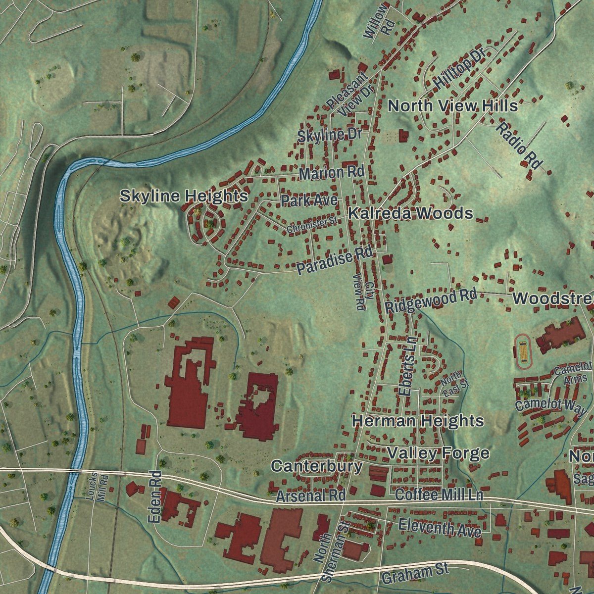
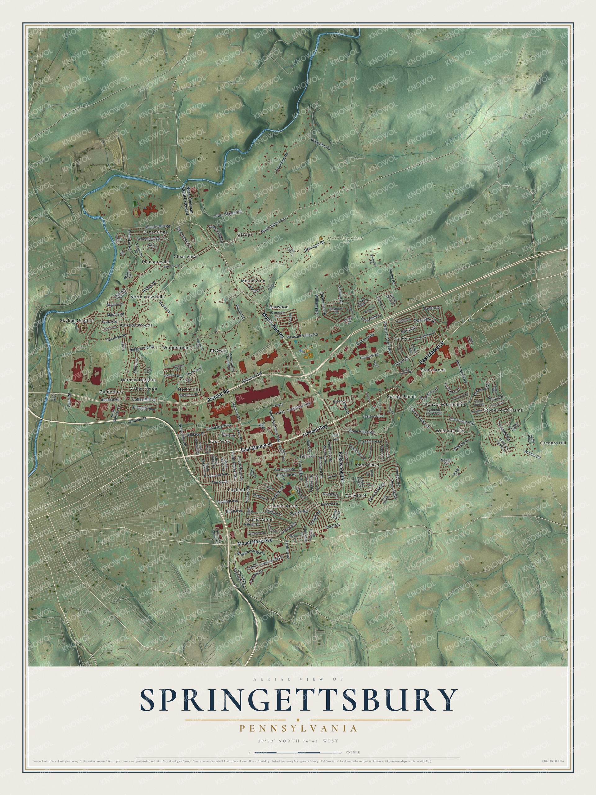
Explore Springettsbury, Pennsylvania from a whole new perspective. Created using aerial imagery and detailed geographic data, this map captures Springettsbury building by building, with labeled streets, familiar landmarks, and shaded topographical relief that highlights the natural contours of the landscape.
Combining modern data with the timeless character of a vintage atlas, this map is just as interesting up close as it is beautiful on the wall. Whether you grew up in Springettsbury, spent memorable years there, or call it home today, this unique map is a great way to celebrate a place that means something to you. Zoom in on the preview to look for your street, and then order a print to put your memories on the wall.
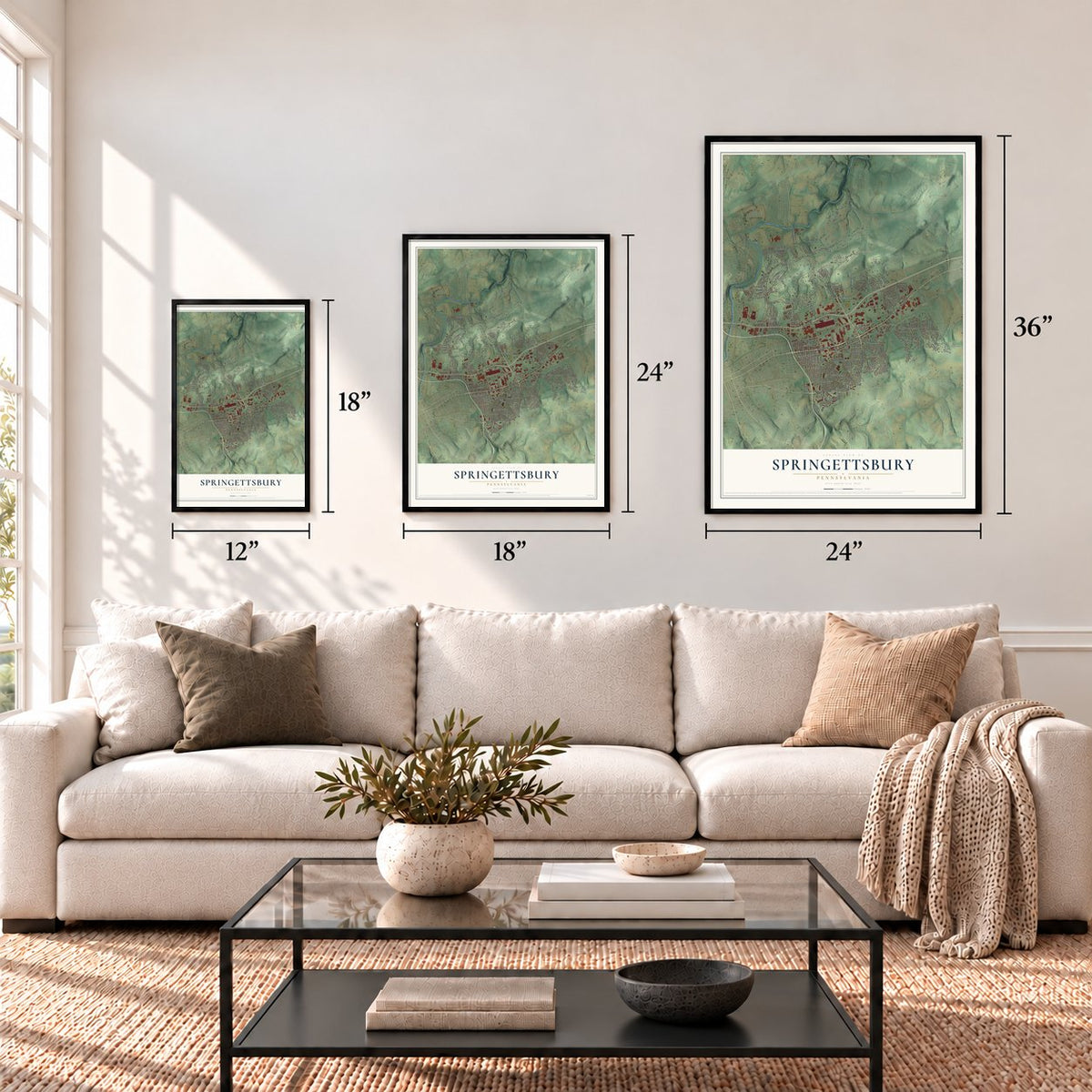
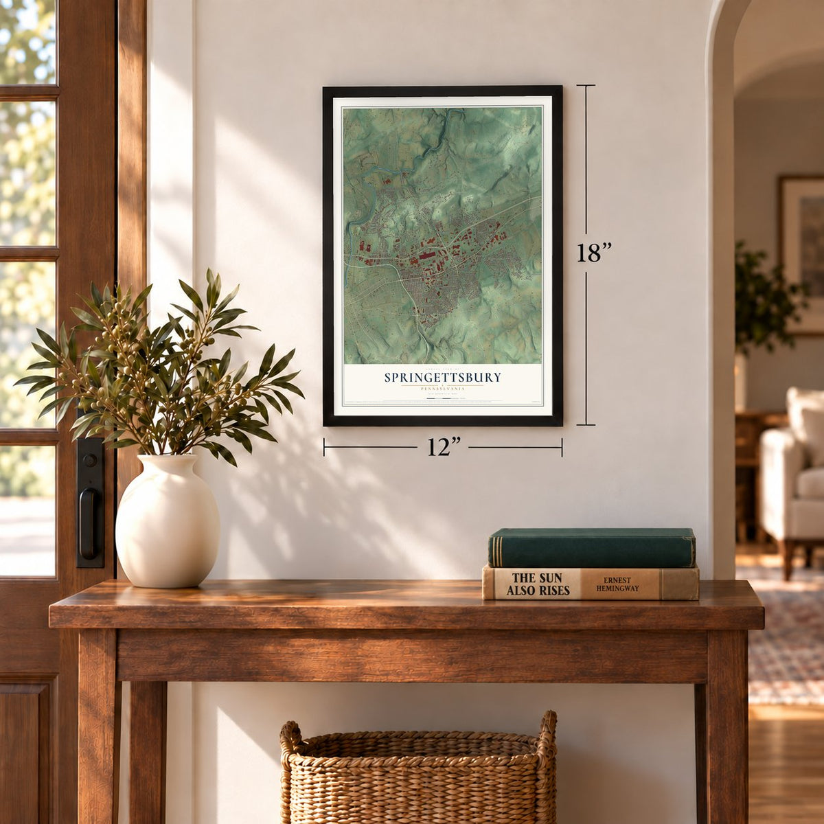
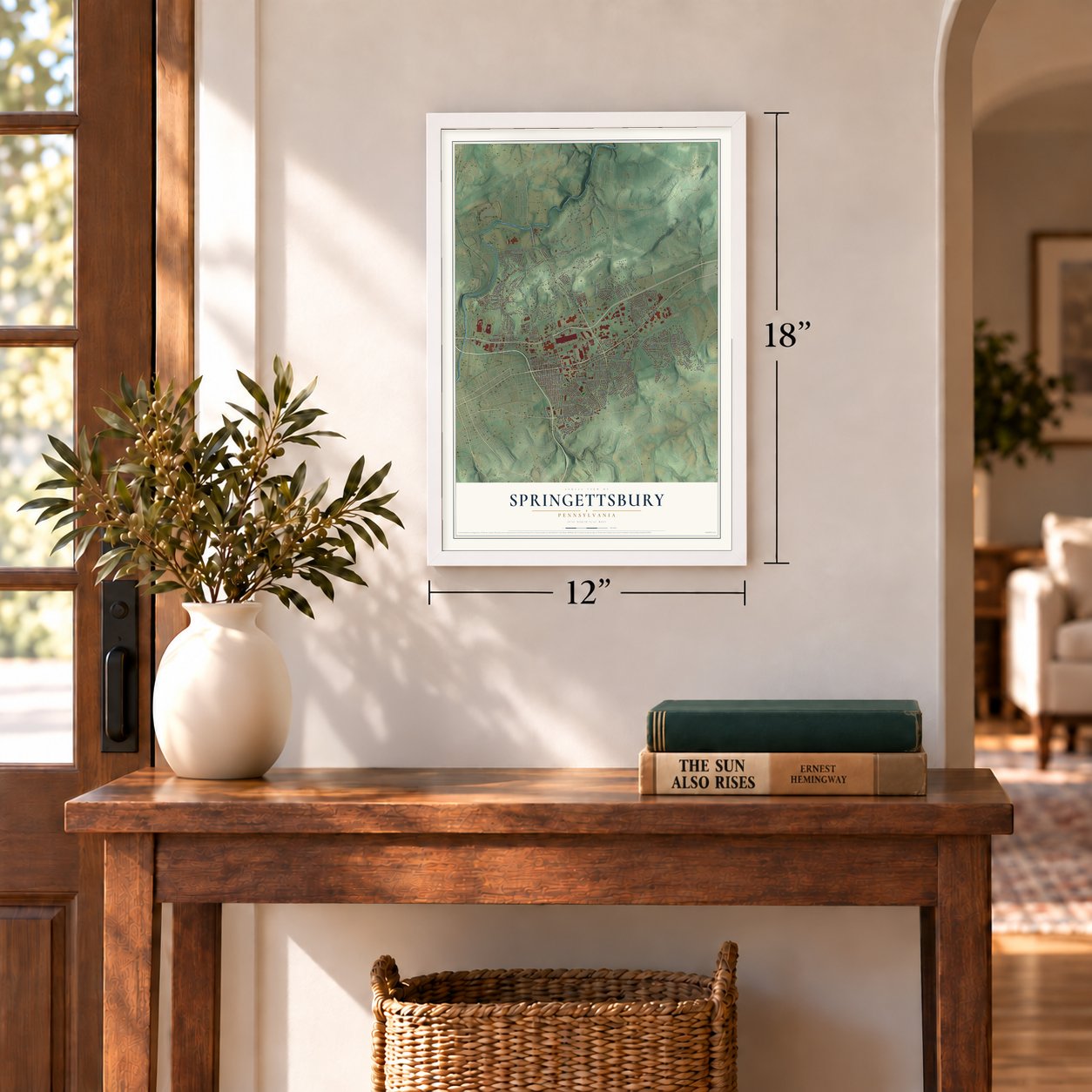
Three ways to hang it
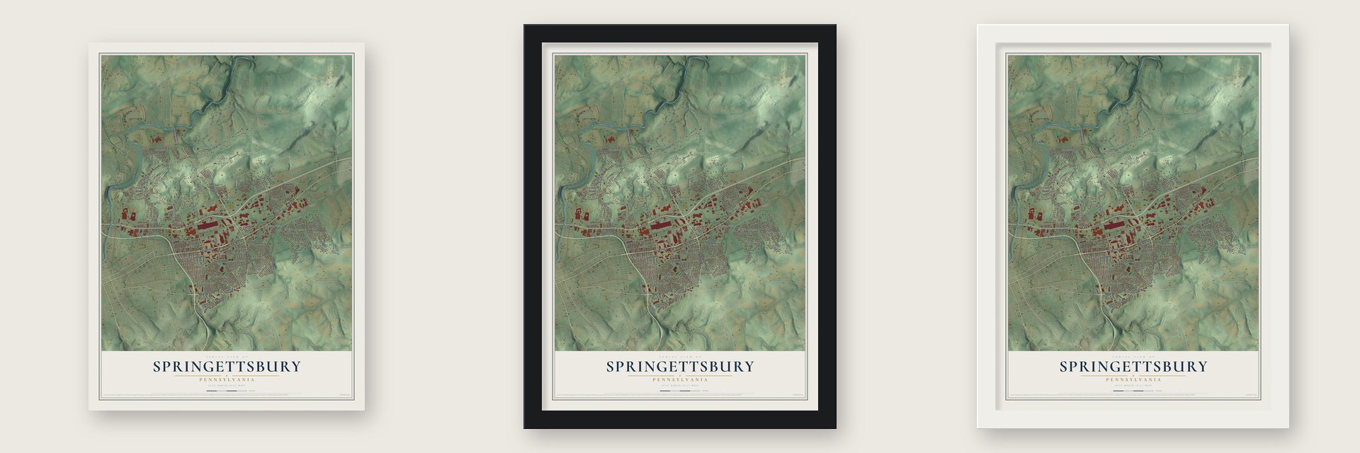
Unframed archival matte, a black wood frame or a white wood frame.
Up close
Geography Worth Displaying
This map was created using accurate cartographic data and authoritative geographic sources, including the U.S. Geological Survey and the Census Bureau. The map brings together terrain, waterways, roads, and building detail. The majority of the streets are labeled, houses are accurately depicted, and the topography is derived from government sources. Combining local data with carefully composed color and shading leads to this beautifully detailed Springettsbury artwork for your wall.
Rather than simply showing street outlines, we’ve included as many of the street names as we could reasonably fit on the map while keeping their names legible. Zoom in on the high resolution preview to see exactly what’s on the map. We truly set out to create a statement piece for anyone who loves Springettsbury. So whether it’s for you, or a gift for someone you love, we hope this map of Springettsbury brings back fond memories.
Read the story behind this map of Springettsbury, Pennsylvania from 2026.

Find your street
Names on the Springettsbury map
Every name below is printed on this map. Look for your street, your school, the park where you played, or the pond down the road.
Places and landmarks29
- Orchard Hill
- Rocky Ridge County Park
- Barwood
- Canterbury
- Clear View
- East York
- Fayfield
- Glades
- Green Acres
- Greenridge
- Haines Acres
- Herman Heights
Show all 29 places
- Idywyld
- Kalreda Woods
- Mount Zion
- North Hills
- North View Hills
- Penn Oaks
- Pleasureville
- Skyline Heights
- Spring Plains
- Stonewood Farms
- Stonybrook
- Stonybrook Heights
- Valley Forge
- Wilshire Hills
- Woodstream
- Yorklyn
- Yorkshire
Streets and roads187
- East Market Street
- Lincoln Highway
- Mount Rose Avenue
- Mount Zion Road
- Arsenal Road
- Edgewood Road
- Druck Valley Road
- Memory Lane
- Haines Road
- South Royal Street
- Campbell Road
- Silver Spur Drive
- North Northern Way
- Eastern Boulevard
- Whiteford Road
- Deininger Road
- Ridgewood Road
- Pleasant Valley Road
- Eden Road
- Concord Road
- Kingston Road
- Trout Run Road
- Industrial Highway
- Stonewood Road
- North Hills Road
- Locust Grove Road
- Old Orchard Road
- Lower Glades Road
- Cortleigh Drive
- Pleasant Acres Road
Show all 187 streets
- Stone Ridge Road
- Pinehurst Road
- South Russell Street
- Wilshire Drive
- Fifth Avenue
- Marion Road
- Sundale Drive
- Witmer Road
- Bridlewood Way
- Third Avenue
- Williams Road
- Mundis Mill Road
- Eberts Lane
- Sylvan Drive
- Industrial High
- T-991
- Second Avenue
- Sheridan Road
- Eleventh Avenue
- Heindel Road
- Lyndhurst Road
- Fairway Drive
- Hartford Road
- Valley Vista Drive
- Wallace Street
- Greywood Drive
- Forrest Lane
- Eisenhower Drive
- Silverwood Drive
- Deamerlyn Drive
- Woodside Road
- Stuart Drive
- Seventh Avenue
- Glen Hollow Drive
- Durham Road
- Torrington Drive
- Sandra Drive
- Cranmere Lane
- Carnegie Road
- Alcott Road
- Rimrock Road
- Paradise Road
- Crossfield Lane
- Carol Road
- Alpine Road
- Britain Drive
- Coffee Mill Lane
- Deep Run Road
- Graham Street
- Quaker Drive
- Hilltop Drive
- Mills Street
- Radio Road
- Ninth Avenue
- Shulton Drive
- Arbor Lane
- Skyline Drive
- Dixie Drive
- Dorsett Lane
- Lehigh Road
- Park Avenue
- Lisa Lane
- T-417
- North Sherman Street Extended
- Camp Betty Washington Road
- Long Drive
- Memory Lane Extended
- North Sherman Street
- Eastwood Drive
- Stony Brook Drive
- Cambridge Road
- Wynwood Road
- South Harlan Street
- Pleasant View Drive
- Cimmeron Road
- Spangler Circle
- Raleigh Drive
- South Findlay Street
- Erlen Drive
- Edenbridge Road
- Academy Road
- Overview Drive
- Pebble Ridge Drive
- Grant Drive
- Greensprings Drive
- Round Hill Road
- South Rockburn Street
- Mountain Laurel Lane
- Regency Lane
- Bedfordshire Drive
- Sagamore Drive
- Sorrel Ridge Lane
- Crystal Lane
- Ardmore Lane
- Lynbrook Drive South
- Apple Hill Lane
- Coventry Court
- Lakeview Lane
- Tarpley Drive
- North Marshall Street
- Bradford Drive
- Brighton Drive
- Camelot Way
- Rex Drive
- Wharton Road
- Winter Berry Drive
- Kent Road
- Commerce Center Drive
- Haines Drive
- Ivory Road
- Wolf Road
- Throne Avenue
- Denny Lane
- Laurel Lane
- Lee Court
- Stone Run Drive
- Willow Road
- First Avenue
- Marble Court
- Eton Lane
- Hope Lane
- Maywood Road
- Cinema Drive
- English Way
- Parkview Road
- Plymouth Road
- Davies Drive
- Orchard Hills Drive
- Camelot Arms
- Cheltenham Road
- Taunton Drive
- Robinwood Road
- Pineridge Road
- South Northern Way
- Stanford Drive
- Milford Lane
- Wingfield Drive
- Long Point Drive
- Hawthorne Road
- Tulsa Drive
- City View Road
- Woodlyn Terrace
- Stony Brook Road
- Tall Oaks Lane
- Oakleigh Drive
- Springetts Drive
- North East Street
- Chronister Street
- Colonial Farm Lane
- Folkstone Way
- Commons Drive
- North Keesey Street
- Livingstone Drive
- Becket Road
- Industrial
- Ginger Circle
- Loucks Mill Road
Names are listed as they appear on the printed map. Zoom into the product photos to find them.
About Springettsbury, Pennsylvania
Springettsbury is a township of 27,058 people in York County. It shares its name with Springettsbury Manor, a tract the heirs of William Penn had laid off in 1722, and the township runs north to south across nearly the full width of that old manor. During the Revolutionary War, British prisoners were held here at Camp Security from 1781 to 1783.
- Burgoyne's men at Camp SecurityThe camp was built in 1781 for British soldiers who had given up with General Burgoyne at Saratoga, New York, and their families came along. Men taken prisoner at Yorktown, Virginia, joined them later. York County militia and Continental troops kept watch over the log huts and the large stockade, and the camp closed when the war ended in 1783.
- Found by archaeologyEast Market Street has a state historical marker that tells the camp's story. Archaeological evidence has confirmed that the camp stood less than a mile south of the marker.
- Strickler Family FarmhouseThe Strickler Family Farmhouse stands at 1205 Williams Road. It joined the National Register of Historic Places in 1991.
Keep exploring Pennsylvania
Springettsbury is one of 3,725 Pennsylvania towns we've mapped. Every dot on the map is a print of its own.
The search covers every state, Pennsylvania first.
Near Springettsbury
Order 2 or more town maps and save 10%. Shown in the size and finish you picked above, so they hang as a set.
- North Hills 12" x 18" / Archival Matte Print $39.99
- East York 12" x 18" / Archival Matte Print $39.99
- Yorklyn 12" x 18" / Archival Matte Print $39.99

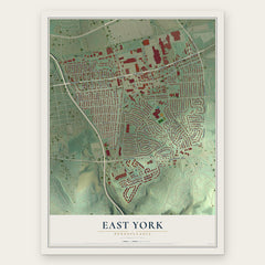
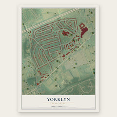
More maps nearby: Pleasureville, Stonybrook, Valley View, North York and Kreutz Creek.
The art of mapping a place
How This Map Was Made
Real places. Remarkable detail. Discover the layers that turn geographic data into a map of home.

The view from above
Aerial imagery reveals the character of the land: woodland, open fields, and the patterns of a place.

The shape of the land
Elevation data brings hills, valleys, and subtle changes in the landscape into view.

The details of home
Roads, waterways, and building footprints come together to make the map feel unmistakably local.

Geography becomes art
Considered color, shading, and typography bring the layers together in a map made for your wall.


Process illustrated with Mendon, Massachusetts. Aerial imagery: USDA NAIP. Terrain: USGS 3D Elevation Program. Map details and finished artwork: KNOWOL.
The Details
About This Print
Choose an archival matte print, or a black or white Ayous wood frame. The archival matte print is unframed.
Select your size and finish above to see the matching product image and price.
Materials & Craftsmanship
A contemporary map with the character of a classic atlas, printed on archival matte paper. Optional frames are made from Ayous wood.
Your printed map does not include the watermark shown in the full-map preview.
Shipping & Delivery
Free shipping within the United States. Every print is made to order in the USA.
Buying a gift? Add a note in your cart and we'll include it. We never put prices in the package.
Prints ship within 2 to 3 business days. Allow 7 to 10 days total from ordering for delivery. Timing may vary during holidays or periods of high order volume.
Read our shipping policy.
Returns and damaged prints
Each print is made to order. Change-of-mind refunds are not available after production.
If your print arrives damaged, misprinted or incorrect, contact support@knowol.com within 30 days of receiving it. Include your order number, photos and a description of the issue.
Read our full refund and replacement policy. For questions about your order, email support@knowol.com.