
Search for another town





Free U.S. delivery 7 to 10 days after you order
Staunton, Virginia Map Art
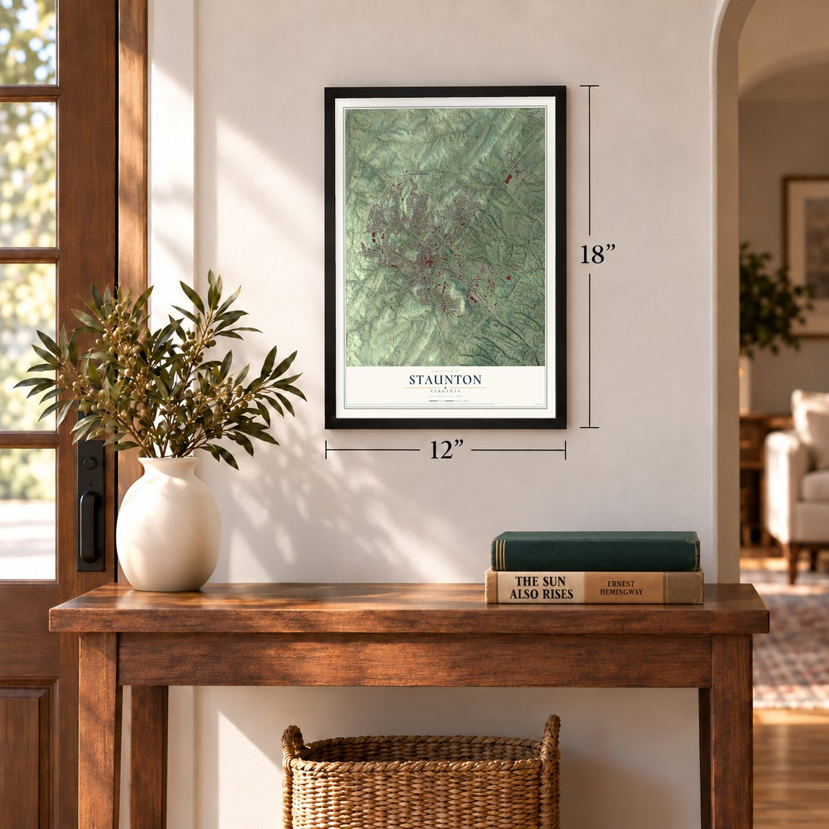
A new map of Staunton, Virginia, made in 2026 and printed to order on thick archival matte paper.
12" x 18" Archival Matte Print
A Map of Home. A Work of Art.
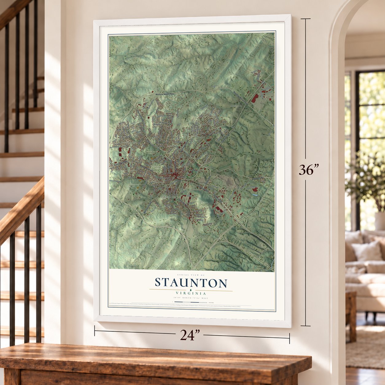
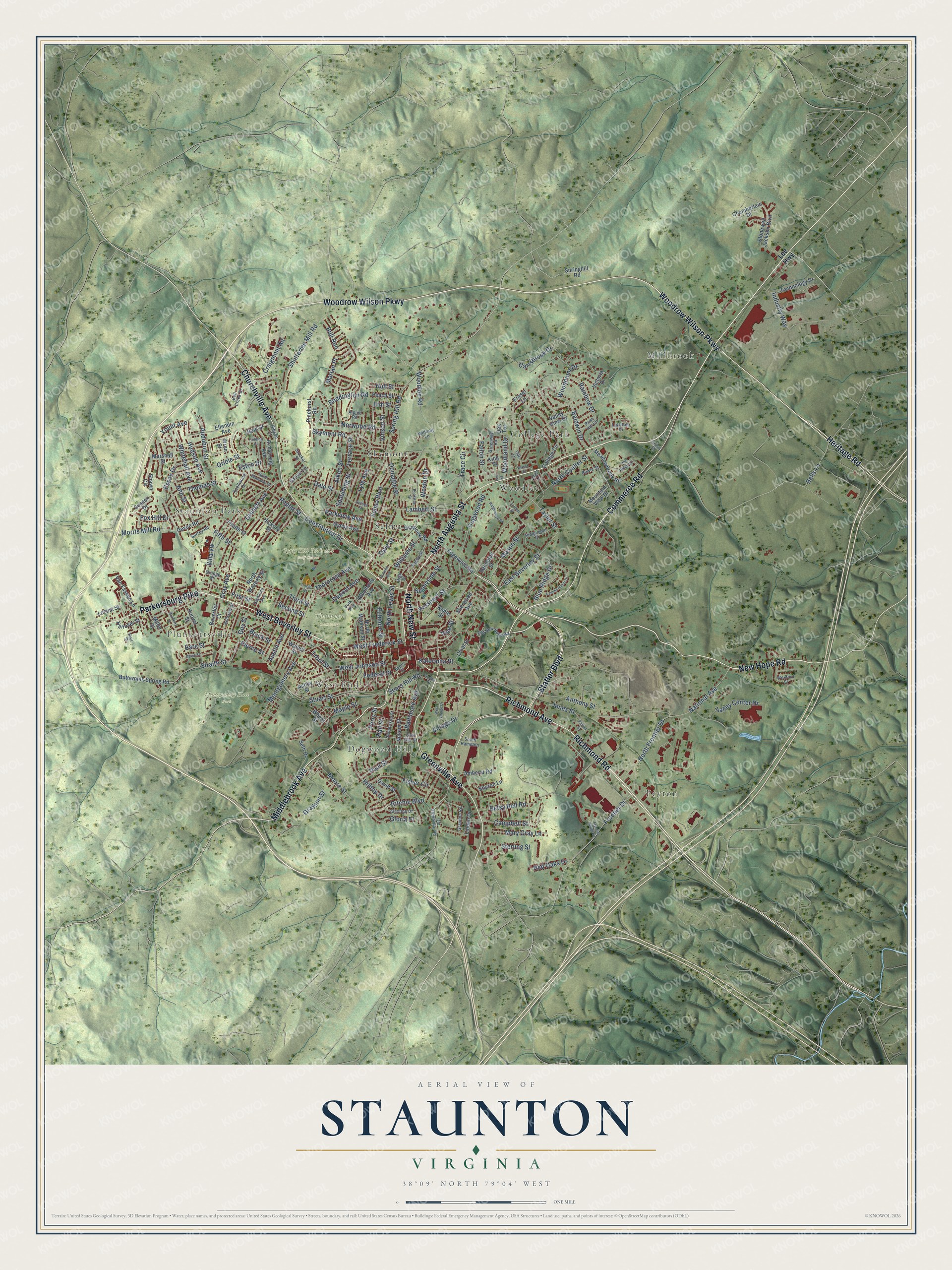
Explore Staunton, Virginia from a whole new perspective. Created using aerial imagery and detailed geographic data, this map captures Staunton building by building, with labeled streets, familiar landmarks, and shaded topographical relief that highlights the natural contours of the landscape.
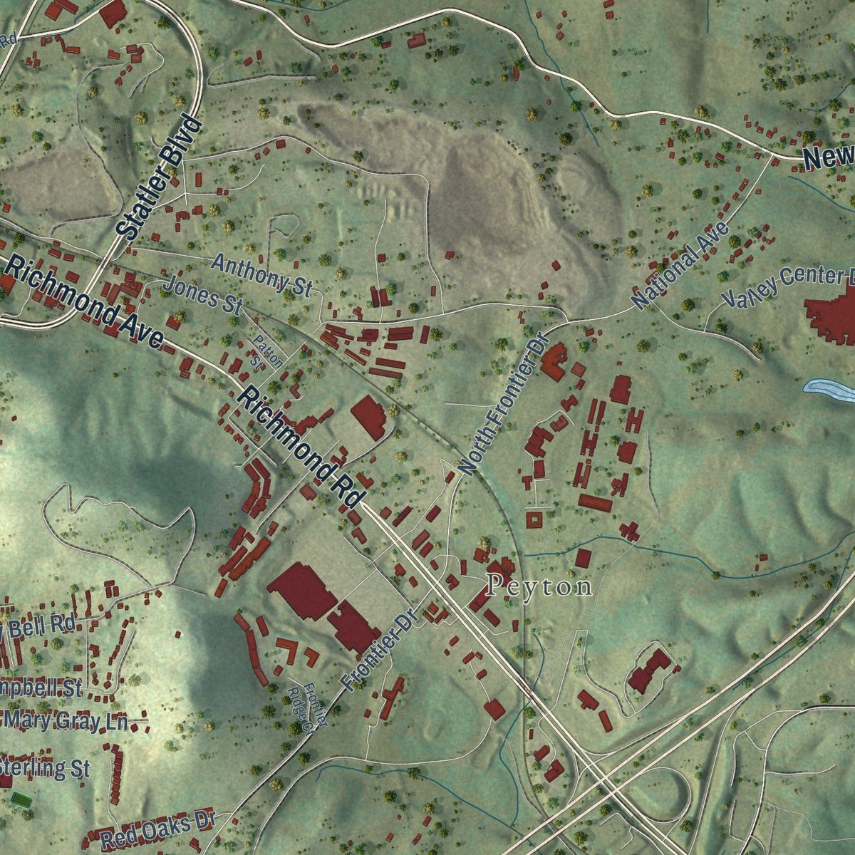
Combining modern data with the timeless character of a vintage atlas, this map is just as interesting up close as it is beautiful on the wall. Whether you grew up in Staunton, spent memorable years there, or call it home today, this unique map is a great way to celebrate a place that means something to you. Zoom in on the preview to look for your street, and then order a print to put your memories on the wall.
Three ways to hang it
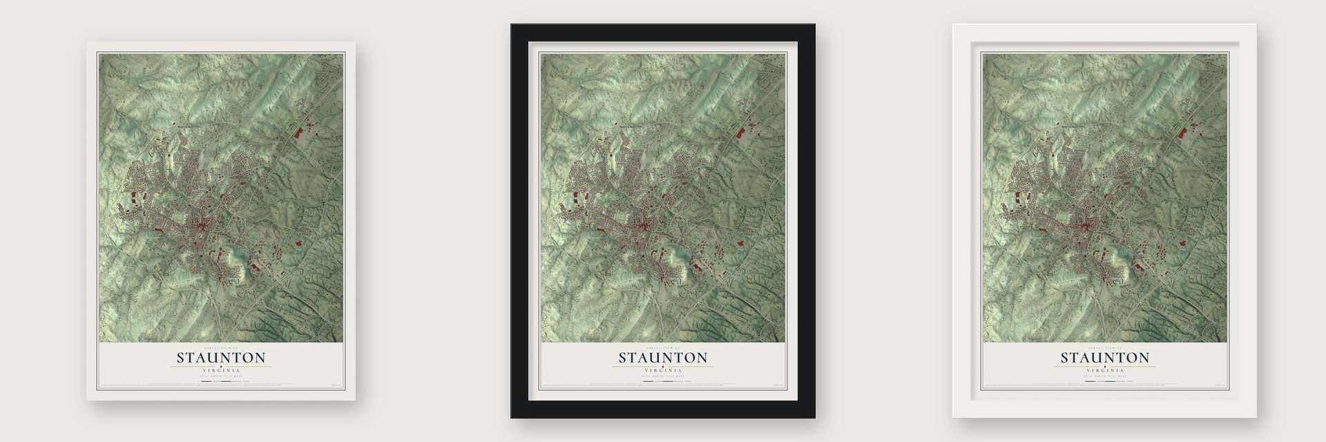
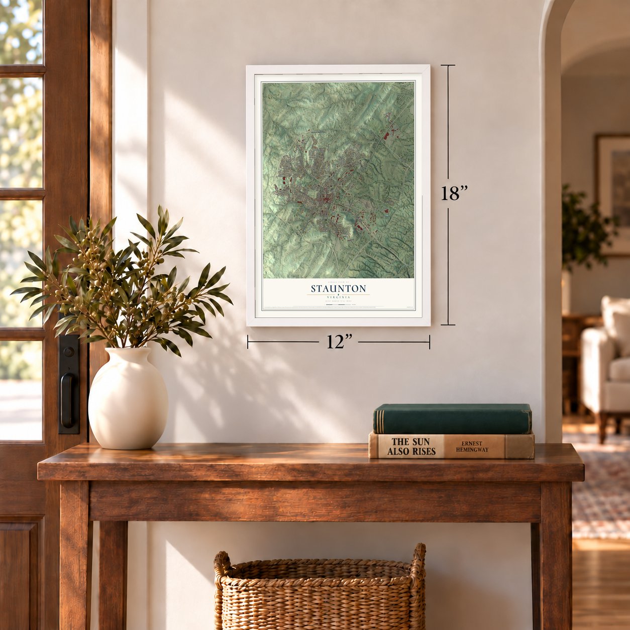
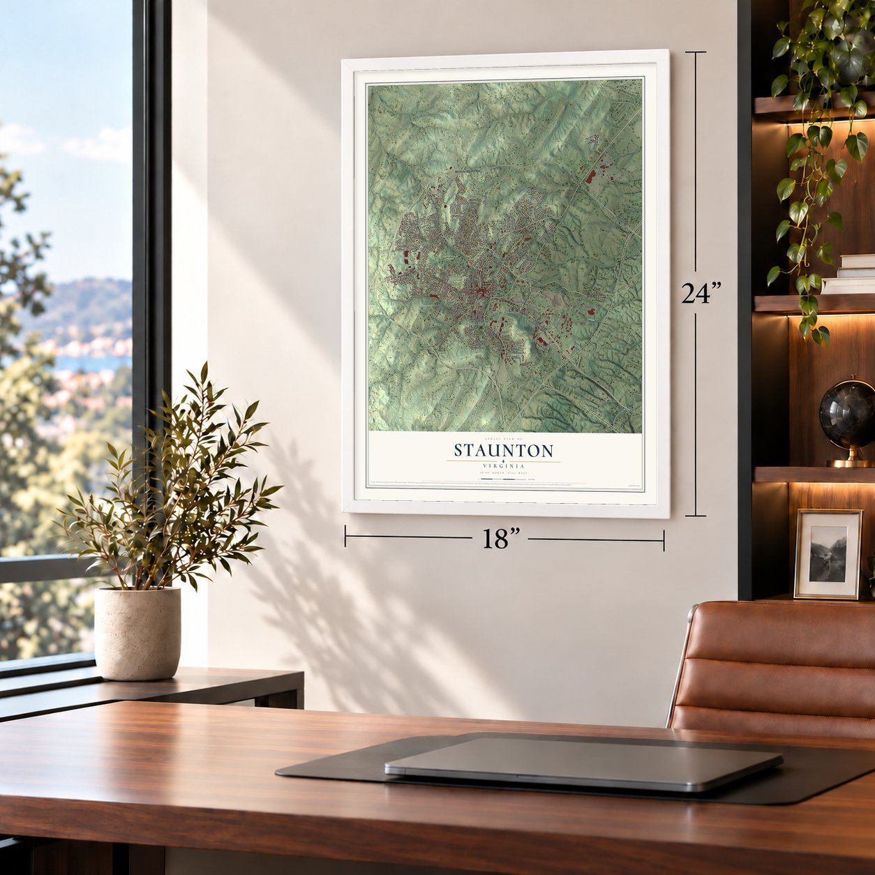
Unframed archival matte, a black wood frame or a white wood frame.
Up close
Geography Worth Displaying
This map was created using accurate cartographic data and authoritative geographic sources, including the U.S. Geological Survey and the Census Bureau. The map brings together terrain, waterways, roads, and building detail. The majority of the streets are labeled, houses are accurately depicted, and the topography is derived from government sources. Combining local data with carefully composed color and shading leads to this beautifully detailed Staunton artwork for your wall.
Rather than simply showing street outlines, we’ve included as many of the street names as we could reasonably fit on the map while keeping their names legible. Zoom in on the high resolution preview to see exactly what’s on the map. We truly set out to create a statement piece for anyone who loves Staunton. So whether it’s for you, or a gift for someone you love, we hope this map of Staunton brings back fond memories.
Read the story behind this map of Staunton, Virginia from 2026.

About Staunton, Virginia
Staunton is an independent city of 25,750 people in the Shenandoah Valley, between the Blue Ridge and the Allegheny Mountains. John Lewis and his family settled here in 1732. In 1736 the Crown granted William Beverley, a planter and merchant from Essex County, more than 118,000 acres in what became Augusta County. Ten years later, surveyor Thomas Lewis drew the first town plat for Beverley at a spot called Beverley's Mill Place.
The town was founded in 1747 and renamed for Lady Rebecca Staunton, wife of Lieutenant-Governor Sir William Gooch. Because it sat at the center of the colony, it held the westernmost courthouse in British North America before the Revolution. In June 1781 it briefly served as Virginia's capital, after legislators fled Richmond and then Charlottesville to escape the British.
“Chartered on 13 January 1844 as the Virginia Female Institute, Stuart Hall is Virginia's oldest college preparatory school for girls.”
- A Union raid in 1864Staunton grew along the Valley Pike as a center of trade, especially once the Virginia Central Railroad arrived in 1854. Its factories made carriages, wagons, boots, shoes, clothing and blankets. In 1861 the town voted 3,300 to 6 for secession and became a Confederate supply depot. David Hunter, a Union major general, marched in with 10,000 troops on June 6, 1864, and the next day his men destroyed the railroad station, warehouses, factories and mills.
- The nation's first city managerStaunton became an independent city on July 10, 1902. In 1908 it switched to the city manager form of government and hired Charles E. Ashburner, the first city manager in the country. In 1926 the city took Lady Rebecca Staunton's coat of arms as its own, on its seal and its flag.
- Woodrow Wilson's birthplaceWoodrow Wilson, the 28th president, was born in Staunton, and the Woodrow Wilson Presidential Library here is open to visitors.
- Home of the Statler BrothersDon Reid, Harold Reid, Phil Balsley and Lew DeWitt of the Statler Brothers all grew up in Staunton. Until 1994 the group played free concerts at the city's Fourth of July celebration, joined by other country music artists.
- Hotchkiss and The OaksThe Oaks, on East Beverley Street, went up in the 1840s. In 1888 the Civil War mapmaker Jedediah Hotchkiss rebuilt and enlarged it, and the house is now on the National Register, along with the Stuart House, the Sears House and Booker T. Washington High School. Architect Thomas Jasper Collins designed nearly 200 of the city's buildings.
Find your street
Names on the Staunton map
Every name below is printed on this map. Look for your street, your school, the park where you played, or the pond down the road.
Places and landmarks13
- Millbrook
- Peyton
- Plunkettsville
- Staunton Park
- Dogwood Hill
- Gypsy Hill Park and Golf Course
- Montgomery Hall Park
- Thornrose Cemetery
- College Park
- Selma
- Skymont
- West End
Show all 13 places
- Woodlee
Streets and roads218
- Commerce Road
- North Augusta Street
- Richmond Avenue
- Churchville Avenue
- West Beverley Street
- Richmond Road
- Woodrow Wilson Parkway
- New Hope Road
- Greenville Avenue
- Heritage Road
- Statler Boulevard
- Parkersburg Pike
- Middlebrook Avenue
- North New Street
- Fox Hill Drive
- Spring Hill Road
- East Beverley Street
- Audubon Street
- Morris Mill Road
- Essex Drive
- Yount Avenue
- Gray Avenue
- Parkview Avenue
- North Coalter Street
- Bells Lane
- Frontier Drive
- Constitution Drive
- National Avenue
- Betsy Bell Road
- Montgomery Avenue
Show all 218 streets
- Shutterlee Mill Road
- Grubert Avenue
- Third Street
- Woodlee Road
- Straith Street
- Rainbow Drive
- Donaghe Street
- Stuart Street
- West Johnson Street
- Thornrose Avenue
- Selma Boulevard
- Woodland Drive
- Baldwin Drive
- Anthony Street
- Hilltop Drive
- North Frontier Drive
- Woodmont Drive
- Mason Street
- Hudson Avenue
- Industry Way
- Skymont Road
- Fisher Circle
- West Frederick Street
- Ritchie Boulevard
- Ann Street
- Dogwood Road
- Village Drive
- Campbell Street
- Prospect Street
- Taylor Street
- Bull Run
- Carrsbrook Drive
- North Lewis Street
- Spaulding Street
- Thomas Street
- Mary Gray Lane
- Lambert Street
- Grayson Street
- Blue Ridge Drive
- Aiken Street
- First Street
- Valley Center Drive
- Norwood Road
- Moore Street
- Lyle Avenue
- Whitehall Avenue
- Dale Street
- Gloria Place
- Craigmont Road
- Fallon Street
- Paul Street
- Jones Street
- Sterling Street
- Kalorama Street
- Dupont Avenue
- Weston Drive
- Marian Place
- Vinson Street
- Austin Avenue
- Boddington Road
- Maple Street
- Fifth Street
- Sunnyside Street
- Villa Vw
- Fillmore Street
- Bare Street
- Williams Street
- Baltimore Avenue
- Red Oaks Drive
- Poplar Street
- Sears Hill Road
- Opie Street
- Pierce Street
- Hull Street
- Terrace Street
- Trace Circle
- Elm Street
- Buick Street
- Oriole Street
- Second Street
- Perry Street
- Federal Street
- Hall Street
- Trout Street
- Eston Drive
- Vine Street
- Guy Street
- Lee Highway
- Devon Road
- Overlook Road
- Fourth Street
- College Circle
- Mountain View Drive
- Fraser Lane
- Amherst Road
- Seth Drive
- Pinehurst Road
- Meadowbrook Road
- Stonewall Jackson Boulevard
- Hoover Street
- Technology Drive
- Buttermilk Spring Road
- North Madison Street
- Locust Street
- Armstrong Avenue
- Ellendin Avenue
- Edgewood Road
- Beverley Court
- North Waverly Street
- Ashby Street
- Linden Drive
- Van Fassen Lane
- Sherwood Avenue
- Hickory Street
- Randolph Street
- Gypsy Avenue
- Springhill Road
- Grove Lane
- Albemarle Avenue
- David Street
- Victoria Drive
- Chamberlain Drive
- Chief Street
- Nelson Street
- Valley View Drive
- Kable Street
- Peach Street
- Hanover Street
- Walnut Street
- Sharon Lane
- Shawn Circle
- Marshall Street
- Sussex Drive
- Reid Street
- Miller Street
- Wheat Street
- Oak Terrace
- Wren Street
- King Street
- Old New Hope Road
- Old Greenville Road
- Ridgemont Drive
- Orange Street
- Knollwood Drive
- Rose Hill Circle
- Bell Creek Drive
- Stocker Street
- Highland Avenue
- Wexford Street
- Oak Lane
- Bellview Street
- High Street
- Robertson Street
- Alextine Drive
- Grandon Road
- Terry Street
- East Gay Street
- Greenway Road
- Laketree Drive
- South Hampton
- Surrey Road
- Wilfong Lane
- Byers Street
- Bowie Street
- Bagby Street
- Gibson Court
- Alpine Road
- York Avenue
- Cross Street
- Lammermoor Drive
- Oak Ridge Circle
- Mulberry Street
- Rockway Street
- Ridgewood Drive
- West Village Drive
- Davis Street
- Lee Street
- Fielding Place
- Garber Street
- Blair Street
- North Sharlaine Drive
- Spruce Street
- Frontier Ridge Court
- Burwell Avenue
- Jordan Street
- Wilson Street
- Circle Drive
- Patton Street
Names are listed as they appear on the printed map. Zoom into the product photos to find them.
The art of mapping a place
How This Map Was Made
Real places. Remarkable detail. Discover the layers that turn geographic data into a map of home.

The view from above
Aerial imagery reveals the character of the land: woodland, open fields, and the patterns of a place.

The shape of the land
Elevation data brings hills, valleys, and subtle changes in the landscape into view.

The details of home
Roads, waterways, and building footprints come together to make the map feel unmistakably local.

Geography becomes art
Considered color, shading, and typography bring the layers together in a map made for your wall.


Process illustrated with Mendon, Massachusetts. Aerial imagery: USDA NAIP. Terrain: USGS 3D Elevation Program. Map details and finished artwork: KNOWOL.
The Details
About This Print
Choose an archival matte print, or a black or white Ayous wood frame. The archival matte print is unframed.
Select your size and finish above to see the matching product image and price.
Materials & Craftsmanship
A contemporary map with the character of a classic atlas, printed on archival matte paper. Optional frames are made from Ayous wood.
Your printed map does not include the watermark shown in the full-map preview.
Shipping & Delivery
Free shipping within the United States. Every print is made to order in the USA.
Buying a gift? Add a note in your cart and we'll include it. We never put prices in the package.
Prints ship within 2 to 3 business days. Allow 7 to 10 days total from ordering for delivery. Timing may vary during holidays or periods of high order volume.
Read our shipping policy.
Returns and damaged prints
Each print is made to order. Change-of-mind refunds are not available after production.
If your print arrives damaged, misprinted or incorrect, contact support@knowol.com within 30 days of receiving it. Include your order number, photos and a description of the issue.
Read our full refund and replacement policy. For questions about your order, email support@knowol.com.
Find your town
Looking for another city?
Find a map of home in our Virginia collection, or any town in the country.
Nearby
Maps of towns near Staunton
Know someone from one of these towns? Their map makes a great gift.
 Jolivue
, Virginia
From $39.99See the map
 Verona
, Virginia
From $39.99See the map
 Fishersville
, Virginia
From $39.99See the map
More maps nearby: Churchville, Mount Sidney, New Hope, Stuarts Draft and Waynesboro.