
Search for another town




Free U.S. delivery 7 to 10 days after you order
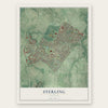
Sterling, Virginia Map Art
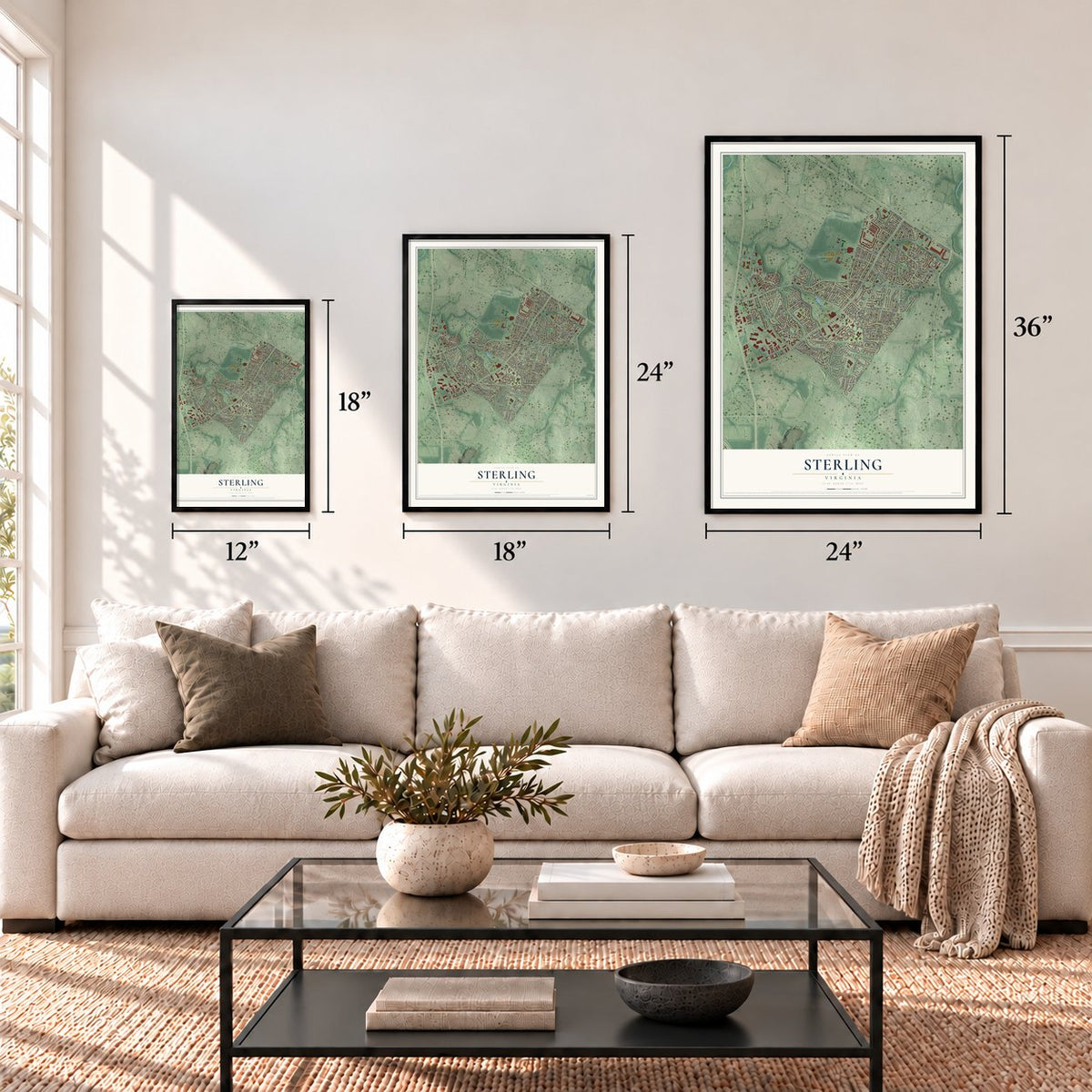
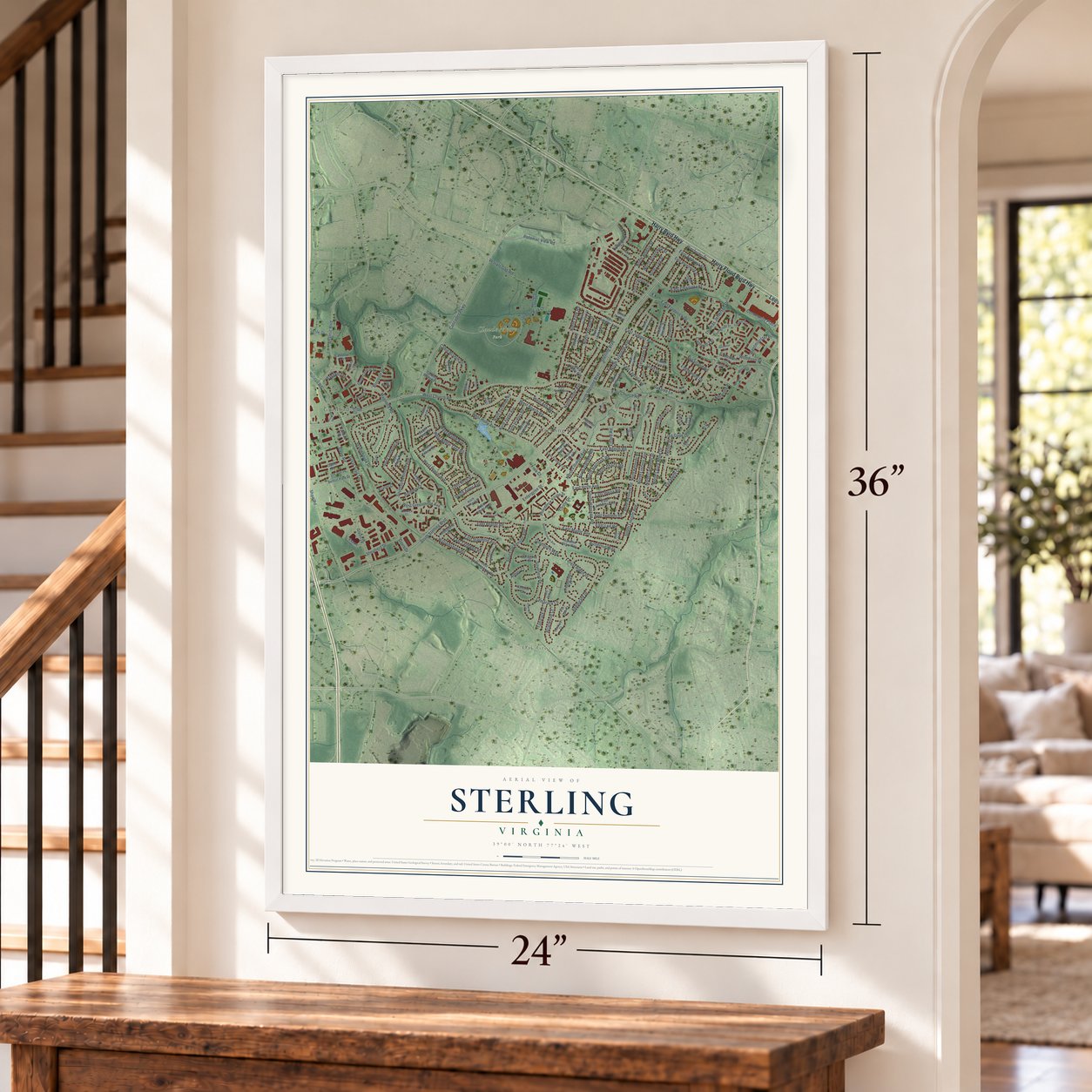
A new map of Sterling, Virginia, made in 2026 and printed to order on thick archival matte paper.
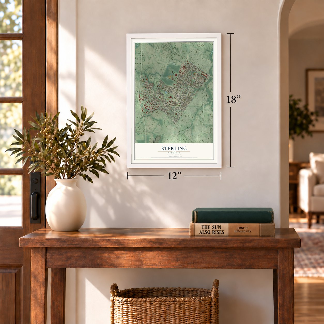
12" x 18" Archival Matte Print
A Map of Home. A Work of Art.
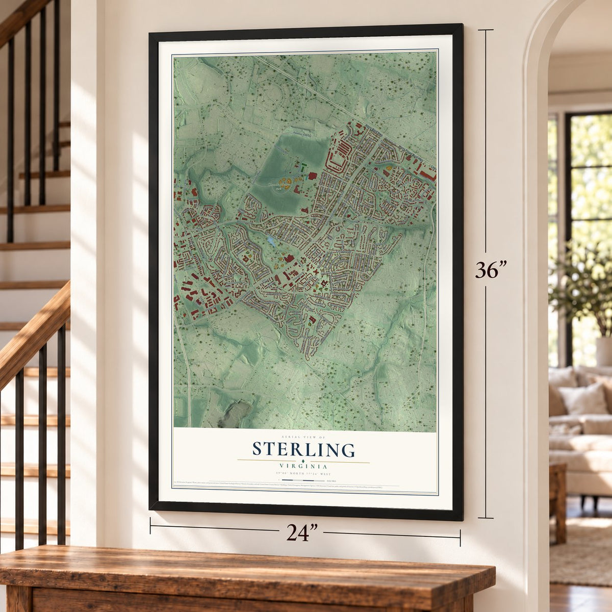
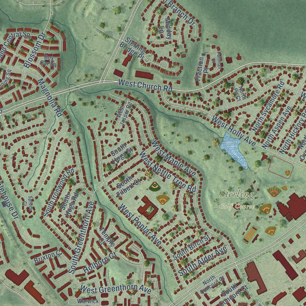
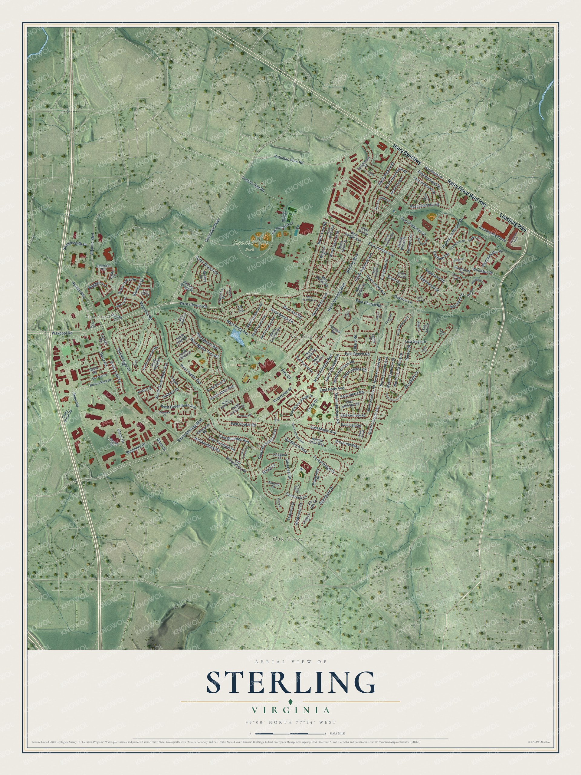
Explore Sterling, Virginia from a whole new perspective. Created using aerial imagery and detailed geographic data, this map captures Sterling building by building, with labeled streets, familiar landmarks, and shaded topographical relief that highlights the natural contours of the landscape.
Combining modern data with the timeless character of a vintage atlas, this map is just as interesting up close as it is beautiful on the wall. Whether you grew up in Sterling, spent memorable years there, or call it home today, this unique map is a great way to celebrate a place that means something to you. Zoom in on the preview to look for your street, and then order a print to put your memories on the wall.
Three ways to hang it
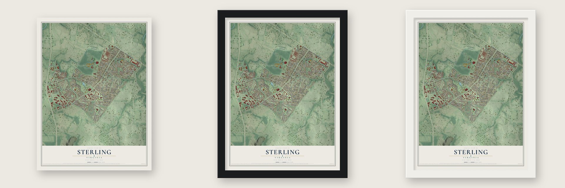
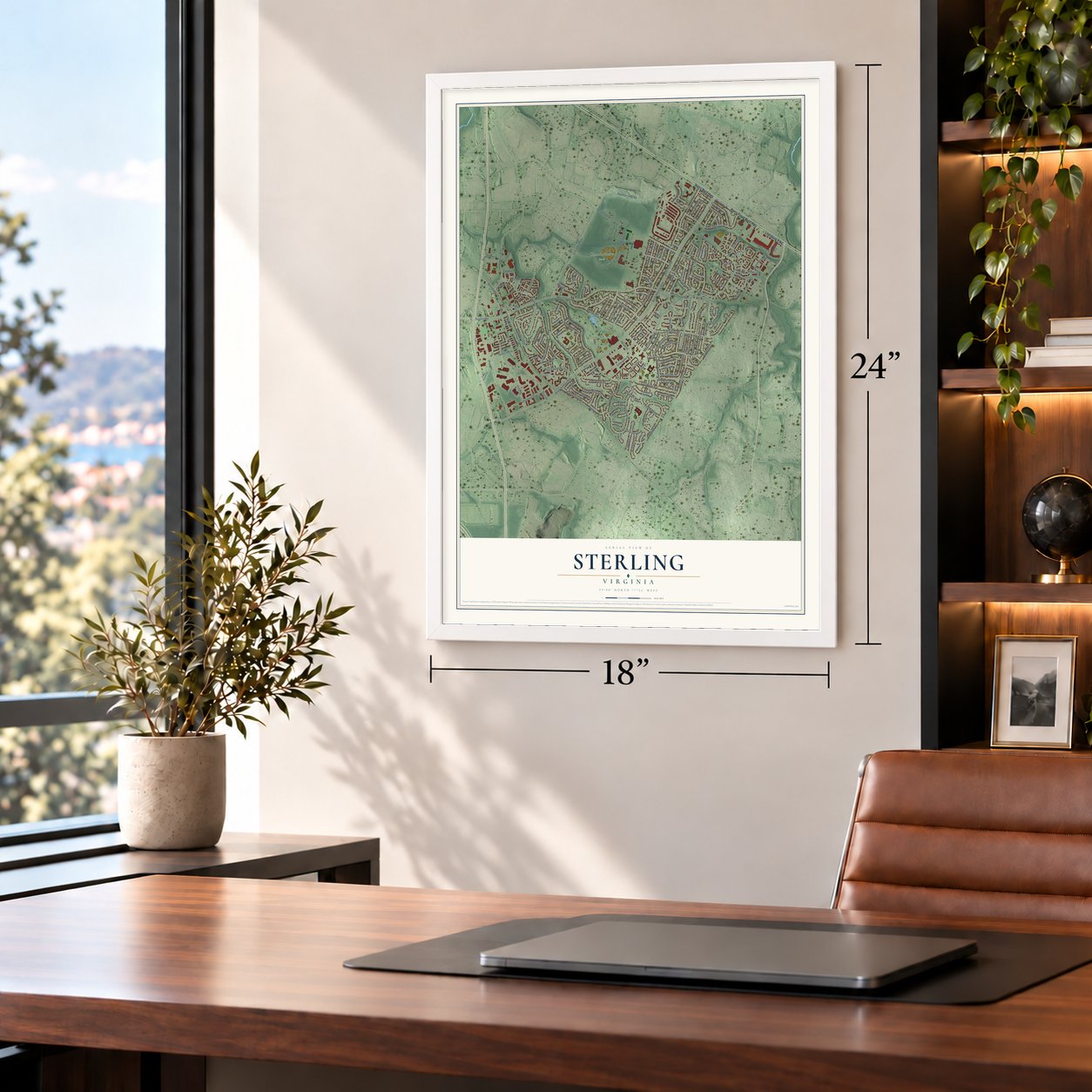
Unframed archival matte, a black wood frame or a white wood frame.
Up close
Geography Worth Displaying
This map was created using accurate cartographic data and authoritative geographic sources, including the U.S. Geological Survey and the Census Bureau. The map brings together terrain, waterways, roads, and building detail. The majority of the streets are labeled, houses are accurately depicted, and the topography is derived from government sources. Combining local data with carefully composed color and shading leads to this beautifully detailed Sterling artwork for your wall.
Rather than simply showing street outlines, we’ve included as many of the street names as we could reasonably fit on the map while keeping their names legible. Zoom in on the high resolution preview to see exactly what’s on the map. We truly set out to create a statement piece for anyone who loves Sterling. So whether it’s for you, or a gift for someone you love, we hope this map of Sterling brings back fond memories.
Read the story behind this map of Sterling, Virginia from 2026.
About Sterling, Virginia
Sterling, in Loudoun County, Virginia, counted 30,337 people in the 2020 census. The village was first called Guilford, and its post office, opened in the mid-1800s, went by Guilford Station. When the railroad came, people began calling the village Loudoun because it sat beside the Loudoun station. That grew confusing as other villages took shape farther into the county, so in 1887 the name became Sterling. It recalls the Norman pennies of the 11th and 12th centuries, called sterlings, which gave the pound sterling its name.
Large farms still covered the land in 1962. Work on Dulles International Airport began in 1959, and as water and sewer lines spread toward it, land prices rose from an average of $125 an acre to $500. Between April 28 and December 29, 1961, the Broyhill family bought 1,762 acres in 14 parcels for $2,115,784. Marvin T. Broyhill Jr. led the new Sterling Park Development Corporation, which turned those farms into the neighborhood of Sterling Park.
“Vestal's Gap Road is among the oldest remaining segments of colonial highway in America.”
- Air conditioning for $17,000Broyhill's plan was a prefabricated house marketed by U.S. Steel, priced about $3,000 below a similar home in Fairfax County. Every house would have air conditioning, which was rare at that price. Buyers also heard that Loudoun's taxes were less than half of Fairfax's and that Washington was a half-hour away.
- Washington and Boone passed throughVestal's Gap Road began as a Native American trail and became a main route for settlers headed west to the Shenandoah Valley. George Washington rode it often on his trips from Mount Vernon to the frontier. General Braddock's troops, Daniel Boone among them, marched along it in the French and Indian War. Its last known undeveloped stretch crosses the 357-acre Claude Moore Park.
- A president's summer homeJames Buchanan, the 15th President of the United States, kept a summer home near today's Ruritan Circle.
Find your street
Names on the Sterling map
Every name below is printed on this map. Look for your street, your school, the park where you played, or the pond down the road.
Places and landmarks5
- Oak Grove
- Claude Moore Park
- Sterling Golf Course
- Guilford
- Sterling Park
Streets and roads193
- Harry Flood Byrd Highway
- Harry Byrd Highway
- Leesburg Pike
- Community Plaza
- West Church Road
- Potomac View Road
- Baggett Terrace
- Ruritan Road
- Waxpool Road
- Williamsburg Road
- North Sterling Boulevard
- South Dickenson Avenue
- Davis Road
- West Greenthorn Avenue
- South Sterling Boulevard
- Sterling Boulevard
- Atlantic Boulevard
- Shaw Road
- North Argonne Avenue
- Magnolia Road
- Cascades Parkway
- East Beech Road
- North Amelia Street
- East Maple Avenue
- East Church Road
- East Holly Avenue
- West Maple Avenue
- North Lincoln Avenue
- East Frederick Drive
- West Holly Avenue
Show all 193 streets
- West Poplar Avenue
- North Fillmore Avenue
- Applegate Drive
- North York Road
- West Beech Road
- Glenn Drive
- Stablehouse Drive
- South Greenthorn Avenue
- East Juniper Avenue
- South Lincoln Avenue
- East Charlotte Street
- North Alder Avenue
- Davis Drive
- East Staunton Avenue
- Silverleaf Drive
- Sugarland Road
- East Poplar Road
- Enterprise Street
- West Nettle Tree Road
- Circle Drive
- North Vernon Street
- North Harrison Road
- North Laura Anne Drive
- Forest Ridge Drive
- North Cameron Street
- Oaktree Lane
- East Laurel Avenue
- Vestals Gap Road
- East Amhurst Street
- Rector Street
- South Harrison Road
- North Brunswick Street
- Thomas Jefferson Drive
- Great Trail Terrace
- Lisa Gaye Drive
- West Ash Road
- Steeplechase Drive
- Holborn Court
- North Garfield Road
- East Tazewell Road
- East Iberia Road
- North Ithaca Road
- Woodson Drive
- Evergreen Street
- Briarwood Court
- Englewood Drive
- Westminister Place
- Shepherd Drive
- Tamarack Lane
- Cabin Branch Drive
- Elizabeth Court
- Goldthorn Way
- Canfield Terrace
- Butternut Way
- Blossom Drive
- South Alder Avenue
- Scott Drive
- Free Court
- Norwood Place
- East Lee Road
- Lillard Road
- Almey Court
- Ruritan Circle
- Elkins Terrace
- Loudoun Park Lane
- Winchester Drive
- East Williamsburg Road
- Cedar Green Road
- South Ironwood Road
- West Juniper Avenue
- North Aspen Avenue
- Providence Village Drive
- Gable Square
- Pepperidge Place
- Sterling Bridge Place
- North Sycamore Road
- East Brunswick Street
- Connemara Drive
- Export Drive
- South Hoga Road
- North Hickory Road
- South Kennedy Road
- North Cypress Road
- North Kennedy Road
- Grand Central Square
- East Kennedy Road
- Rolling Woods Place
- North Belfort Street
- Pinewood Court
- Autumn Olive Way
- East Jefferson Road
- North Craig Street
- East Furman Drive
- Tamarack Court
- North Baylor Drive
- South Birch Street
- North Duke Drive
- West Derby Avenue
- Belfort Park Drive
- Woodstone Terrace
- Temple Court
- Brixton Court
- Sue Ann Court
- South Concord Court
- South Hoga Street
- North Upton Street
- Albemarle Road
- Midday Lane
- Caragana Court
- South Filbert Court
- Caboose Terrace
- Trailside Square
- Traction Place
- Fletcher Road
- Amy Court
- Almond Court
- Pin Oak Court
- Watford Court
- West Ivy Avenue
- Bailey Court
- Manning Square
- Trumpet Circle
- North Brandon Avenue
- Muirfield Circle
- South Fillmore Avenue
- North Cameron Court
- North Dinwiddie Street
- Box Car Square
- Leatherleaf Drive
- Warwick Court
- North Watford Street
- North Croydon Street
- Oak Trail Square
- Coffee Tree Court
- Heritage Farm Lane
- North Concord Court
- Bradford Court
- West Jasper Road
- Red Oak Lane
- Cindy Court
- Dupont Street
- Tavenner Court
- South Lee Road
- North Fir Court
- Gary Court
- Rabbitrun Terrace
- South Cameron Street
- South Culpeper Road
- Rockwood Terrace
- Towncenter Plaza
- Elm Tree Lane
- Colonial Avenue
- West Brighton Avenue
- Pullman Court
- Essex Square
- Ironstone Terrace
- Tramore Court
- Silverleaf Court
- Muirfield Drive
- Ruitan Circle
- Harding Court
- Spruce Court
- Keyes Court
Names are listed as they appear on the printed map. Zoom into the product photos to find them.
The art of mapping a place
How This Map Was Made
Real places. Remarkable detail. Discover the layers that turn geographic data into a map of home.

The view from above
Aerial imagery reveals the character of the land: woodland, open fields, and the patterns of a place.

The shape of the land
Elevation data brings hills, valleys, and subtle changes in the landscape into view.

The details of home
Roads, waterways, and building footprints come together to make the map feel unmistakably local.

Geography becomes art
Considered color, shading, and typography bring the layers together in a map made for your wall.


Process illustrated with Mendon, Massachusetts. Aerial imagery: USDA NAIP. Terrain: USGS 3D Elevation Program. Map details and finished artwork: KNOWOL.
The Details
About This Print
Choose an archival matte print, or a black or white Ayous wood frame. The archival matte print is unframed.
Select your size and finish above to see the matching product image and price.
Materials & Craftsmanship
A contemporary map with the character of a classic atlas, printed on archival matte paper. Optional frames are made from Ayous wood.
Your printed map does not include the watermark shown in the full-map preview.
Shipping & Delivery
Free shipping within the United States. Every print is made to order in the USA.
Buying a gift? Add a note in your cart and we'll include it. We never put prices in the package.
Prints ship within 2 to 3 business days. Allow 7 to 10 days total from ordering for delivery. Timing may vary during holidays or periods of high order volume.
Read our shipping policy.
Returns and damaged prints
Each print is made to order. Change-of-mind refunds are not available after production.
If your print arrives damaged, misprinted or incorrect, contact support@knowol.com within 30 days of receiving it. Include your order number, photos and a description of the issue.
Read our full refund and replacement policy. For questions about your order, email support@knowol.com.
Find your town
Looking for another city?
Find a map of home in our Virginia collection, or any town in the country.
Nearby
Maps of towns near Sterling
Know someone from one of these towns? Their map makes a great gift.
 Oak Grove
, Virginia
From $39.99See the map
 Dulles Town Center
, Virginia
From $39.99See the map
 Dranesville
, Virginia
From $39.99See the map
More maps nearby: Sugarland Run, Herndon, Hutchison, Cascades and Kincora.