
Search for another town



Free U.S. delivery 7 to 10 days after you order
Strongsville, Ohio Map Art
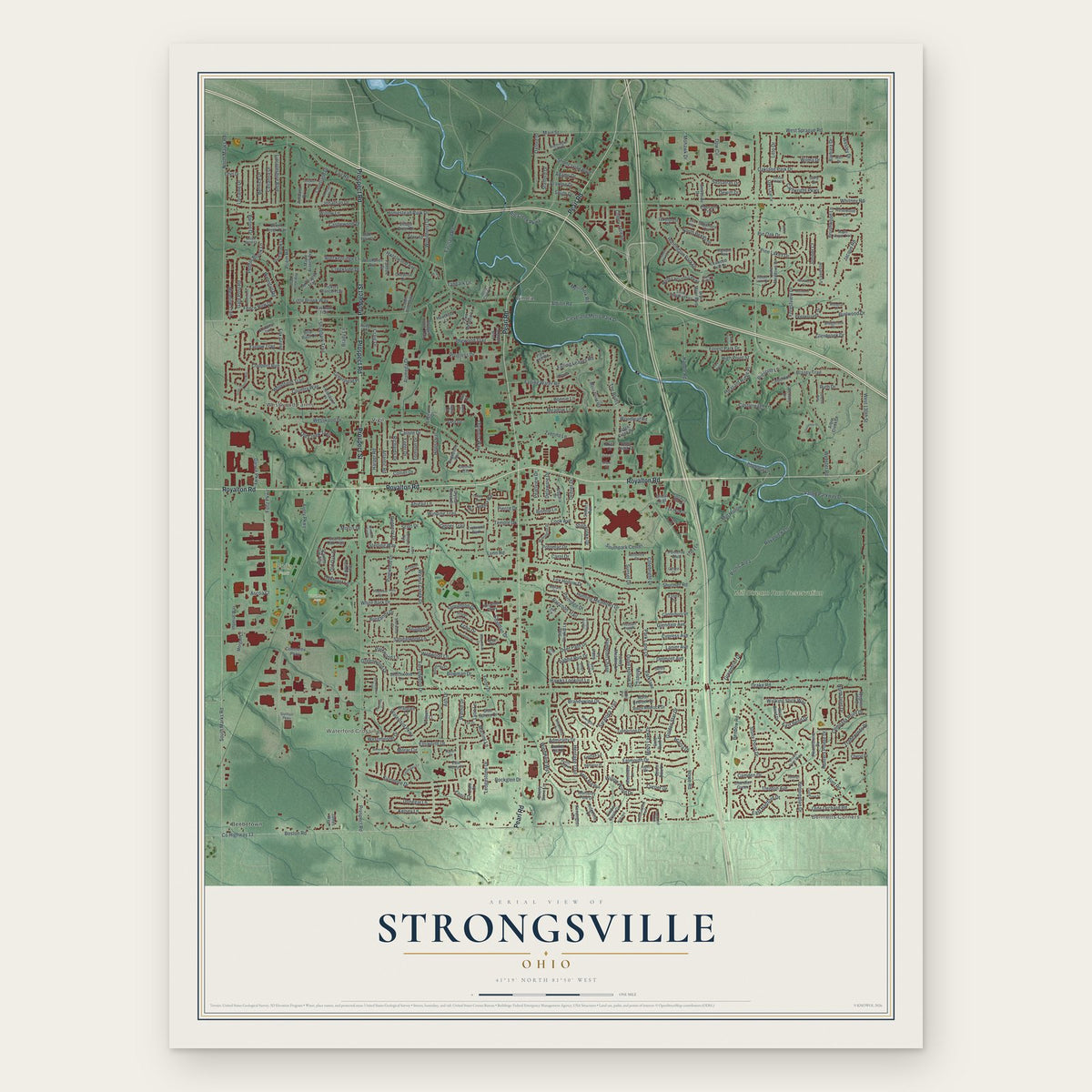
Building by building, with labeled streets and shaded relief.
12" x 18" Archival Matte Print
A Map of Home. A Work of Art.
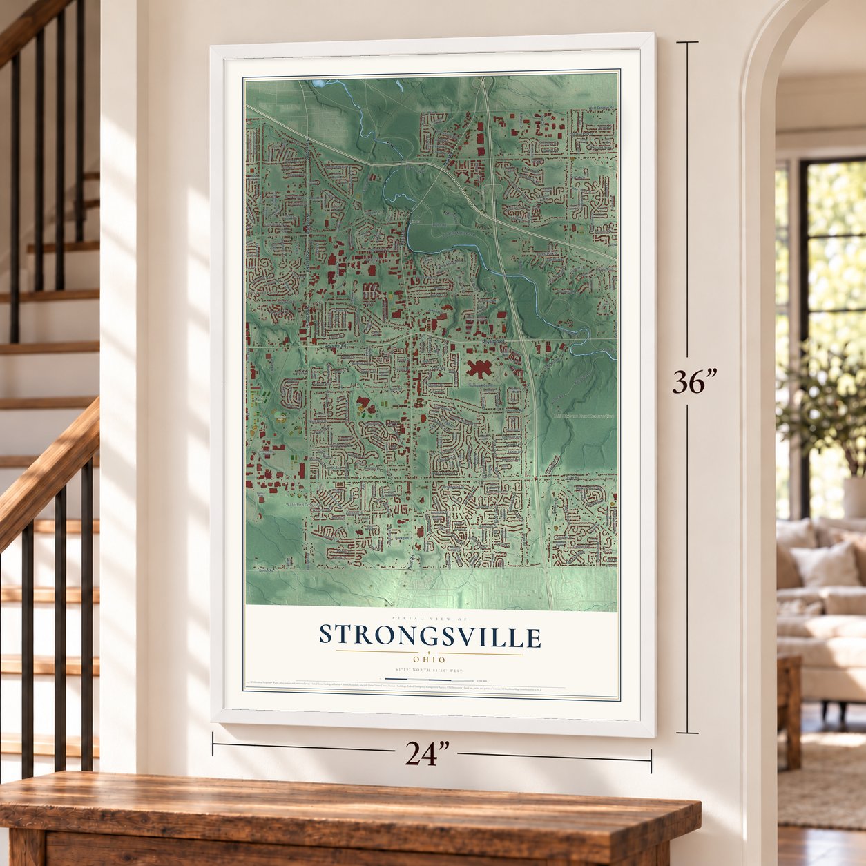
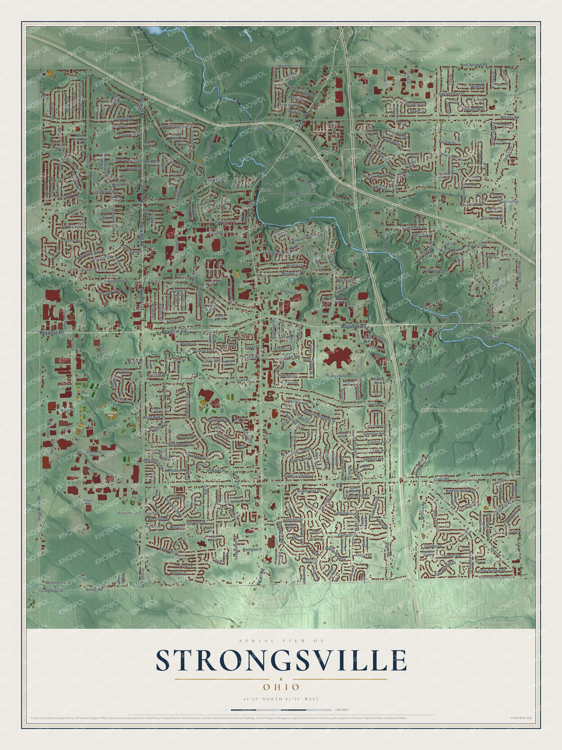
Explore Strongsville, Ohio from a whole new perspective. Created using aerial imagery and detailed geographic data, this map captures Strongsville building by building, with labeled streets, familiar landmarks, and shaded topographical relief that highlights the natural contours of the landscape.
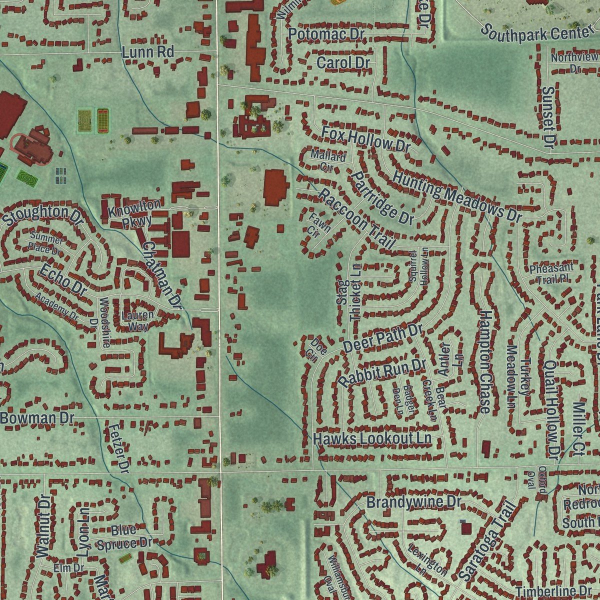
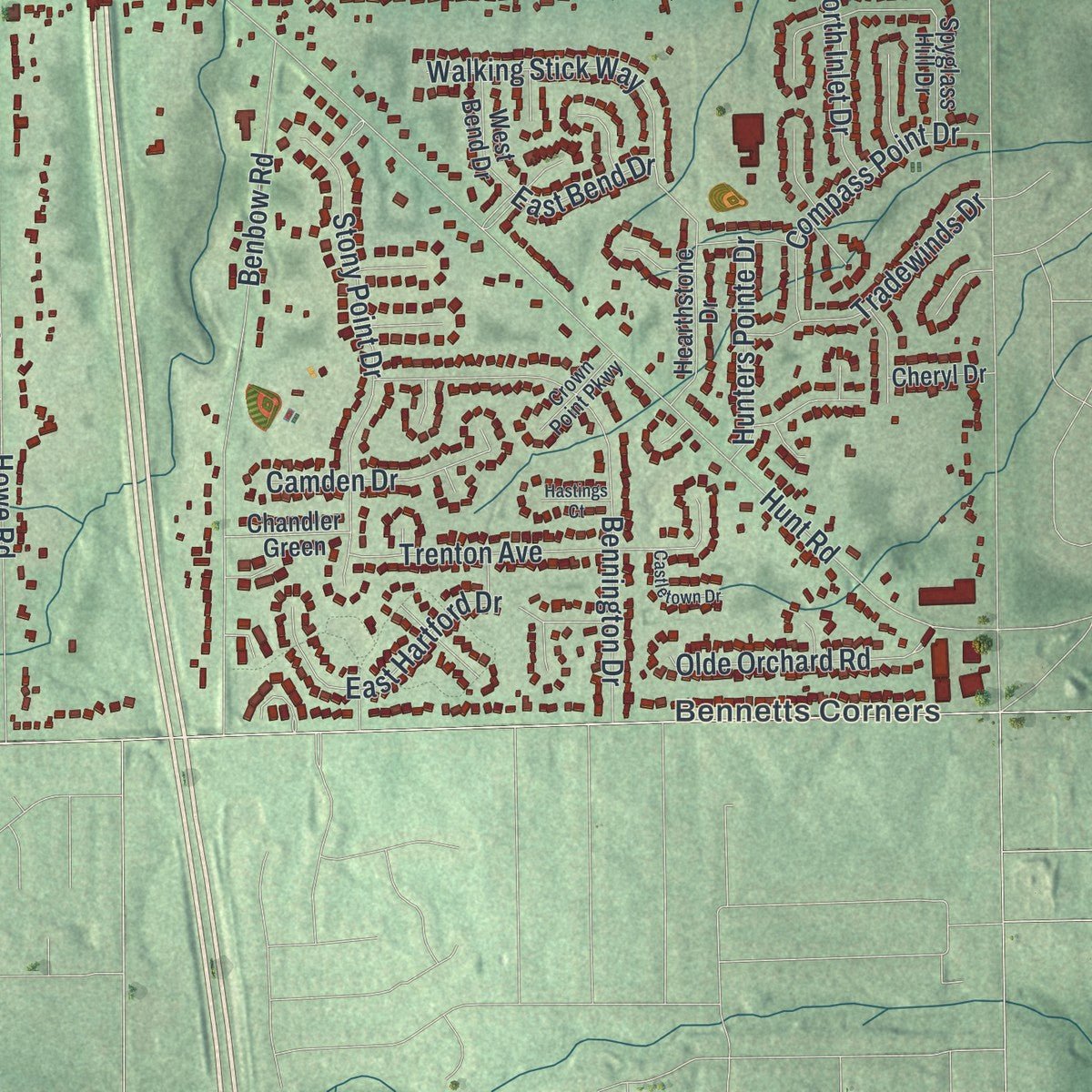
Combining modern data with the timeless character of a vintage atlas, this map is just as interesting up close as it is beautiful on the wall. Whether you grew up in Strongsville, spent memorable years there, or call it home today, this unique map is a great way to celebrate a place that means something to you. Zoom in on the preview to look for your street, and then order a print to put your memories on the wall.
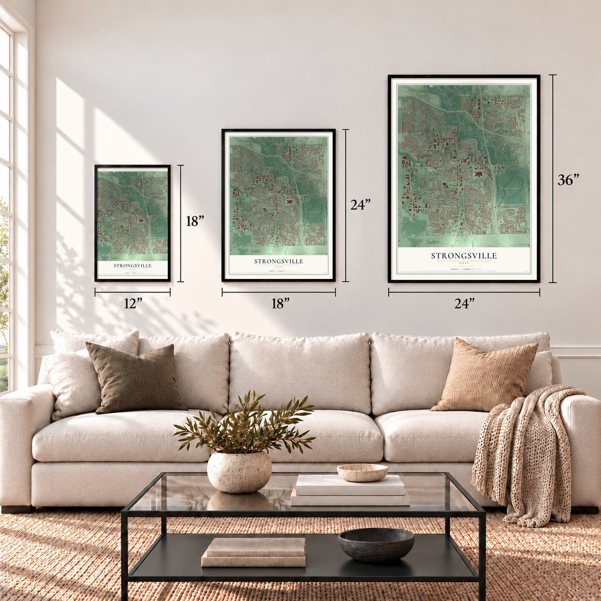
Three ways to hang it
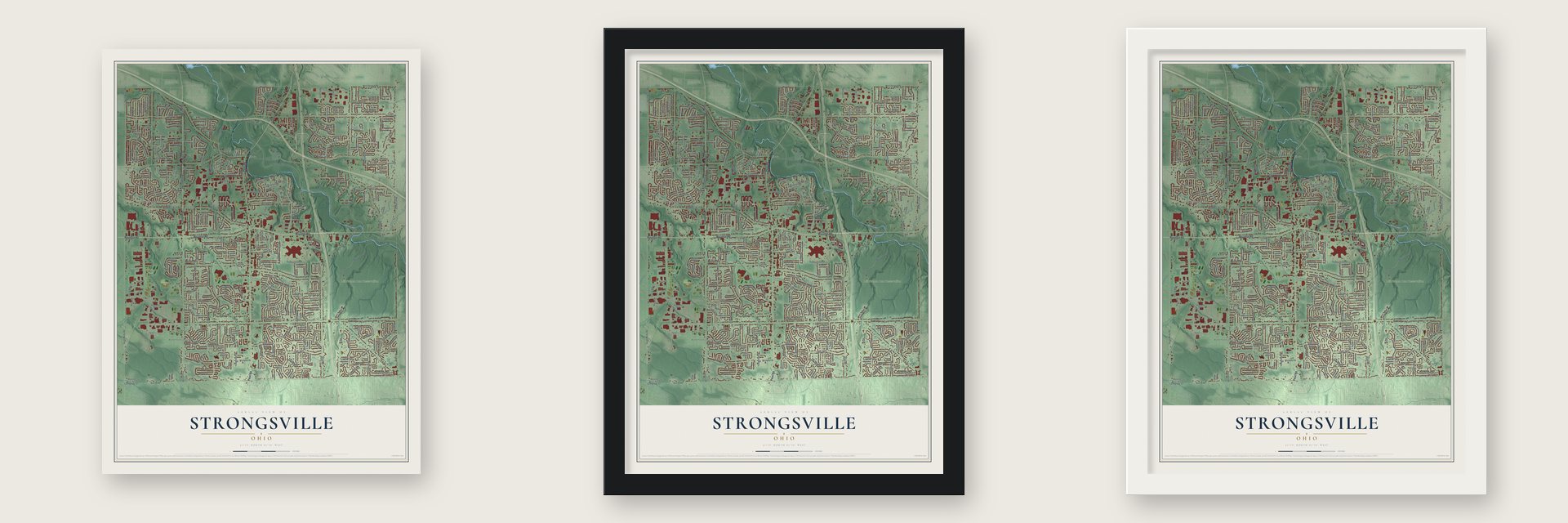
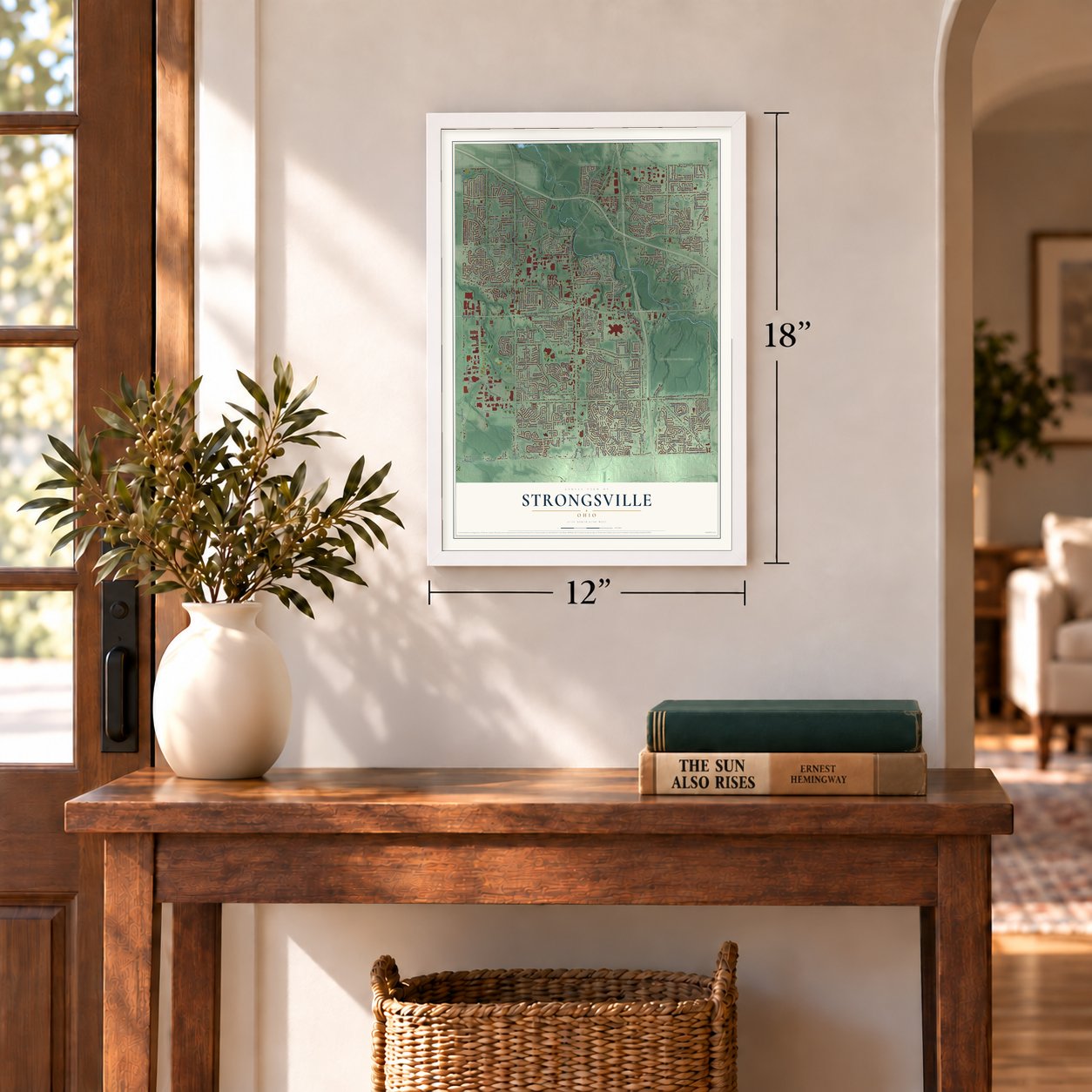
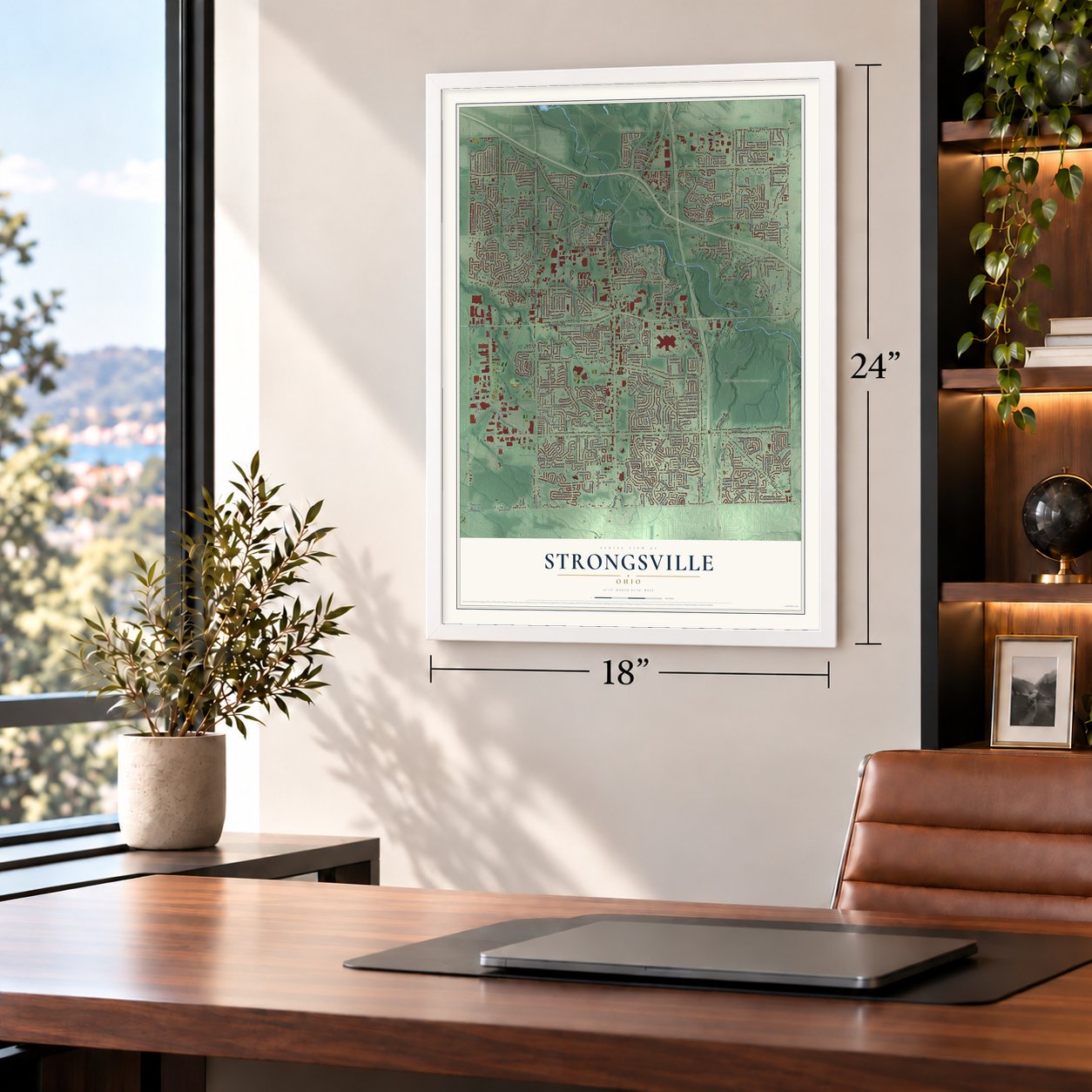
Unframed archival matte, a black wood frame or a white wood frame.
Up close
Geography Worth Displaying
This map was created using accurate cartographic data and authoritative geographic sources, including the U.S. Geological Survey and the Census Bureau. The map brings together terrain, waterways, roads, and building detail. The majority of the streets are labeled, houses are accurately depicted, and the topography is derived from government sources. Combining local data with carefully composed color and shading leads to this beautifully detailed Strongsville artwork for your wall.
Rather than simply showing street outlines, we’ve included as many of the street names as we could reasonably fit on the map while keeping their names legible. Zoom in on the high resolution preview to see exactly what’s on the map. We truly set out to create a statement piece for anyone who loves Strongsville. So whether it’s for you, or a gift for someone you love, we hope this map of Strongsville brings back fond memories.
Read the story behind this map of Strongsville, Ohio from 2026.
Find your street
Names on the Strongsville map
Every name below is printed on this map. Look for your street, your school, the park where you played, or the pond down the road.
Places and landmarks11
- Bennetts Corners
- Waterford Crossing
- Westwood Farms
- Foltz Park
- Mill Stream Run Reservation
- Volunteer Park
- Beebetown
- Binola
- Vigil
- Trotwood Park
- Highland Park
Streets and roads384
- Royalton Road
- Pearl Road
- Prospect Road
- Prospect Street
- Southpark Center
- South Marks Road
- Oakhurst Lane
- Harper Road
- Cleveland Metro Park Drive
- Big Creek Parkway
- Waterford Parkway
- Albion Road
- West 130th Street
- Boston Road
- County Highway 13
- Drake Road
- Whitney Road
- Webster Road
- Howe Road
- Westwood Drive
- West Sprague Road
- Lunn Road
- Foltz Parkway
- Falling Water Road
- Fair Road
- Hunt Road
- North Marks Road
- Priem Road
- Shurmer Road
- Saratoga Trail
Show all 384 streets
- Coopers Run
- Shagbark Trail
- Jonathan Drive
- Idlewood Trail
- Misty Lake Drive
- Benbow Road
- Deer Path Drive
- Walnut Creek Drive
- Ellsworth Drive
- Kylemore Drive
- Country Way
- Bennington Drive
- Lanier Avenue
- Progress Drive
- Alameda Drive
- Echo Drive
- Dow Circle
- Huntington Park Drive
- Valley Parkway Drive
- Walnut Drive
- Mill Hollow
- Main Street
- Stony Point Drive
- Falmouth Drive
- Hunting Meadows Drive
- Blazey Trail
- Parkwood Lane
- Eastland Road
- Heritage Trail
- Forestview Drive
- Lorraine Drive
- Handle Road
- Winding Trail
- Picnic Area
- Barton Drive
- Admiralty Drive
- Bowman Drive
- Olympus Way
- Walking Stick Way
- East Hartford Drive
- Gate Post Road
- Strongsville Boulevard
- Pine Lakes Drive
- Hampton Chase
- Windward Way
- Meadow Trail
- Forestwood Drive
- Bonnie Lane
- Woodfield Trail
- Old Creek Trail
- Sandalwood Lane
- Royalview Lane
- Oakland Park Drive
- Stoughton Drive
- Zverina Lane
- Homestead Park Drive
- Glenbrook Drive
- The Bluffs
- Meadow Lane
- White Bark Drive
- North Bexley Drive
- Forest Park Drive
- Pinewood Drive
- Olde Orchard Road
- Compass Point Drive
- Fox Grove
- Pebble Brook Lane
- Raccoon Trail
- Trenton Avenue
- Oxford Drive
- Tradewinds Drive
- Waterfall Road
- Atlantic Road
- Castlereagh Lane
- Old Oak Drive
- Cook Avenue
- Wildwood Lane
- Greenwood Drive
- Ash Drive
- Celianna Drive
- Cartwright Parkway
- Kelsey Lane
- Lincolnshire Boulevard
- Partridge Drive
- Park Lane Drive
- Burlwood Drive
- Trapper Trail
- Abigail Lane
- Falling Leaves Road
- Quail Hollow Drive
- Potomac Drive
- Pleasant Ridge Place
- Rabbit Run Drive
- Woodhurst Drive
- Brandywine Drive
- Golden Star Drive
- Jacque Road
- Fox Hollow Drive
- Courtland Drive
- Bernice Drive
- Stafford Drive
- Pearlview Drive
- Hollo Oval
- Ordner Drive
- Sassafras Drive
- Hawks Lookout Lane
- Westminster Drive
- Prescott Lane
- Glendale Avenue
- Delmont Avenue
- Cypress Avenue
- Carlyle Drive
- High Point Street
- Darice Parkway
- Sterling Way
- Hunters Pointe Drive
- Willow Wood Drive
- Willow Lane
- Cherry Tree Drive
- Camden Drive
- Donegal Lane
- Little Brook Way
- Regency Drive
- Broxton Drive
- Collier Drive
- Avery Parkway
- Yarrow Trail
- Carol Drive
- Litto Drive
- Brushwood Lane
- Stillbrooke Drive
- North Inlet Drive
- Greenbrier Drive
- Fence Row Drive
- Hazelwood Avenue
- Juniper Court
- Wesley Drive
- Castlewood Drive
- Chatman Drive
- Creekside Drive
- Breckenridge Lane
- Rockglen Drive
- Sunset Drive
- Colebright Drive
- Burgandy Drive
- Barbara Drive
- Wilma Drive
- Adams Drive
- Ledgestone Drive
- Temple Drive
- Woodleaf Road
- Craig Drive
- Cheerful Lane
- Mohawk Drive
- Greenfield Place
- Brady Lane
- Pin Oak Drive
- Metropark Road
- Pierce Drive
- Delaware Drive
- Yager Drive
- Currier Drive
- Scott Drive
- Tomson Drive
- Lyon Lane
- East Bend Drive
- Tanbark Lane
- Acacia Drive
- Martins Lane
- Ennis Drive
- Dell Drive
- Richards Drive
- South Drive
- Morar Circle
- Parklane
- Miller Court
- Dewitt Drive
- Bishop Lane
- Morris Drive
- Ruth Drive
- Ascoa Court
- Bridal Trail
- Timberline Drive
- Settlers Way
- Turkey Meadow Lane
- Colleen Court
- Ridge Creek Road
- Knowlton Parkway
- Stag Thicket Lane
- North Laguardia Parkway
- Brick Mill Run
- Lake Meadows Drive
- Bradgate Lane
- Park Cliff Road
- South Redrock Drive
- Groveside Drive
- Hickory Branch Trail
- Plum Brook Lane
- Blue Spruce Drive
- Peppercreek Drive
- Briar Bush Lane
- Moss Point Road
- Beechwood Lane
- Bryn Mawr Boulevard
- Blodgett Creek Trail
- Fawn Meadow Lane
- Sagamore Circle
- Fox Hunt Drive
- Rosalee Lane
- Fairtree Drive
- Leawood Oval Drive
- Hearthstone Drive
- Cherry Stone Lane
- Oak Branch Trail
- Calderdale Lane
- Edgeview Drive
- Lakeforest Drive
- Co Moor Boulevard
- Bunker Hill Drive
- East Kerry Place
- Oak Hollow Lane
- North Redrock Drive
- Village Green Drive
- Maple Branch Trail
- Crystal Creek Drive
- Scotch Pine Way
- Chestnut Drive
- Brigadoon Way
- Fairfax Lane
- Canterbury Drive
- Imperial Way
- Bears Paw Lane
- Niagara Drive
- Beech Creek Trail
- Rudy Drive
- Scarlett Oak Trail
- Settlers Run
- Arlington Drive
- Commerce Parkway
- Rosewood Lane
- West Bend Drive
- Wolzhaven Avenue
- Arbor Creek Drive
- Tracy Lane
- Westfield Lane
- Bentley Lane
- Oak Leaf Drive
- Fieldstone Place
- Scarlet Oak Trail
- Chandler Green
- Kensington Court
- Morgan Court
- Ashwood Drive
- Ridgeline Court
- Spyglass Hill Drive
- Timber Creek Circle
- Oak Bark Trail
- Foxe Road
- James Way
- Gold Rush Drive
- Selby Circle
- Gary Drive
- Jerry Coe Lane
- Antler Lane
- Cheryl Drive
- Hawthorn Lane
- Fetzer Drive
- Clare Court
- Eldorado Trail
- Monterey Pine Drive
- Pomeroy Boulevard
- Valley Creek Drive
- Oak Trail Court
- Ethel Drive
- Akita Court
- Essex Drive
- Altis Court
- Ionia Court
- East Polo Club Drive
- Gifford Court
- Lexington Lane
- Woodrun Drive
- Woodshire Drive
- Bear Creek Lane
- Sherwood Drive
- Woodlawn Court
- Northwood Trail
- Timber Lake Drive
- Wilmington Drive
- South Laguardia Parkway
- Windsor Castle
- Worthington Park Drive
- Sunwood Oval
- Shale Brook Way
- Maple Brook Trail
- Lauren Way
- Janette Avenue
- Cottonwood Trail
- Northview Drive
- Hampton Place
- Bridgecreek Circle
- Rustic Hollow
- Crown Point Parkway
- Elm Drive
- Wolf Drive
- Cortland Way
- Pheasant Trail Place
- Cricket Lane
- Pineview Circle
- Creek Bend Court
- Nob Hill
- Stellfast Parkway
- Mallard Circle
- Glenmar Way
- Hazen Drive
- Aspen Circle
- Doria Court
- Otani Court
- Fawn Circle
- Doe Circle
- Lenox Drive
- South Churchill Way
- Montclare Boulevard
- Squirrel Hollow Lane
- Academy Drive
- Sun Meadow Trail
- Williamsburg Oval
- Castlemain Circle
- South Bexley Circle
- Park Point
- Basswood Circle
- Chasemoor Drive
- Watercress Road
- Castletown Drive
- Summer Place Drive
- Princeton Circle
- Fullers Lane
- Glencreek Lane
- Century Oak Drive
- Blackberry Circle
- Pamela Drive
- Grosse Point Oval
- Badger Den Lane
- Lymans Lane
- Birchwood Lane
- Pine Tree Place
- Hastings Court
- Belhaven Place
- Oxford Oval
- Iyami Court
- Nicole Circle
- Apple Lane
- Ellis Way
- Holly Circle
Names are listed as they appear on the printed map. Zoom into the product photos to find them.
About Strongsville, Ohio
Strongsville is a city in Cuyahoga County with 46,491 residents recorded in the 2020 census. Settlers arrived in 1816, and the community was named for their leader, John Stoughton Strong. Its history remains visible in early houses, civic buildings, and the wooded landscape of Mill Stream Run.
- Township to CityStrongsville became Township No. 5 in 1818, a village in 1923, and a city in 1961.
- Crossroads NicknameThe nickname "Crossroads of the Nation" first referred to two rail lines and later represented Interstate 71 and the Ohio Turnpike.
- Pomeroy HouseBuilt from 1847 to 1848, the Pomeroy House sheltered freedom seekers who continued through Rocky River toward Canada, according to oral tradition cited by its historical marker.
- River and ReservationThe east branch of the Rocky River crosses Strongsville, while Mill Stream Run includes Bonnie Park, Ranger Lake, trails, ponds, picnic facilities, and sports fields.
Keep exploring Ohio
Strongsville is one of 1,389 Ohio towns we've mapped. Every dot on the map is a print of its own.
The search covers every state, Ohio first.
Near Strongsville
Order 2 or more town maps and save 10%. Shown in the size and finish you picked above, so they hang as a set.
- Middleburg Heights 12" x 18" / Archival Matte Print $39.99
- Berea 12" x 18" / Archival Matte Print $39.99
- North Royalton 12" x 18" / Archival Matte Print $39.99
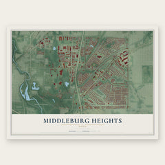
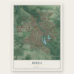
More maps nearby: Brunswick, Olmsted Falls, Parma Heights, Brook Park and Hinckley.
The art of mapping a place
How This Map Was Made
Real places. Remarkable detail. Discover the layers that turn geographic data into a map of home.

The view from above
Aerial imagery reveals the character of the land: woodland, open fields, and the patterns of a place.

The shape of the land
Elevation data brings hills, valleys, and subtle changes in the landscape into view.

The details of home
Roads, waterways, and building footprints come together to make the map feel unmistakably local.

Geography becomes art
Considered color, shading, and typography bring the layers together in a map made for your wall.


Process illustrated with Mendon, Massachusetts. Aerial imagery: USDA NAIP. Terrain: USGS 3D Elevation Program. Map details and finished artwork: KNOWOL.
The Details
About This Print
Choose an archival matte print, or a black or white Ayous wood frame. The archival matte print is unframed.
Select your size and finish above to see the matching product image and price.
Materials & Craftsmanship
A contemporary map with the character of a classic atlas, printed on archival matte paper. Optional frames are made from Ayous wood.
Your printed map does not include the watermark shown in the full-map preview.
Shipping & Delivery
Free shipping within the United States. Every print is made to order in the USA.
Buying a gift? Add a note in your cart and we'll include it. We never put prices in the package.
Prints ship within 2 to 3 business days. Allow 7 to 10 days total from ordering for delivery. Timing may vary during holidays or periods of high order volume.
Read our shipping policy.
Returns and damaged prints
Each print is made to order. Change-of-mind refunds are not available after production.
If your print arrives damaged, misprinted or incorrect, contact support@knowol.com within 30 days of receiving it. Include your order number, photos and a description of the issue.
Read our full refund and replacement policy. For questions about your order, email support@knowol.com.