
Search for another town
Free U.S. delivery 7 to 10 days after you order
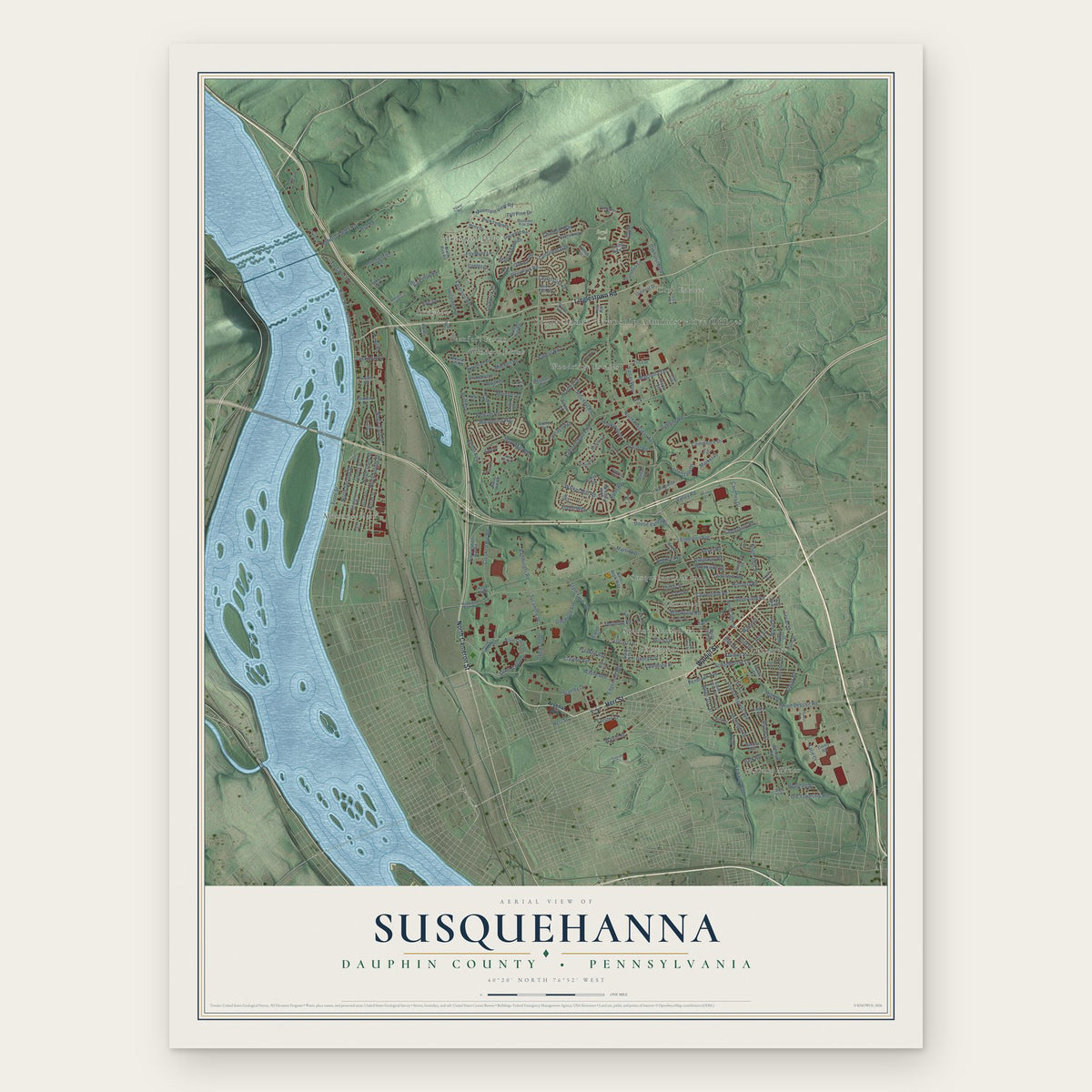
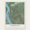
Susquehanna, Dauphin County, Pennsylvania Map Art
Building by building, with labeled streets and shaded relief.
12" x 18" Archival Matte Print
A Map of Home. A Work of Art.
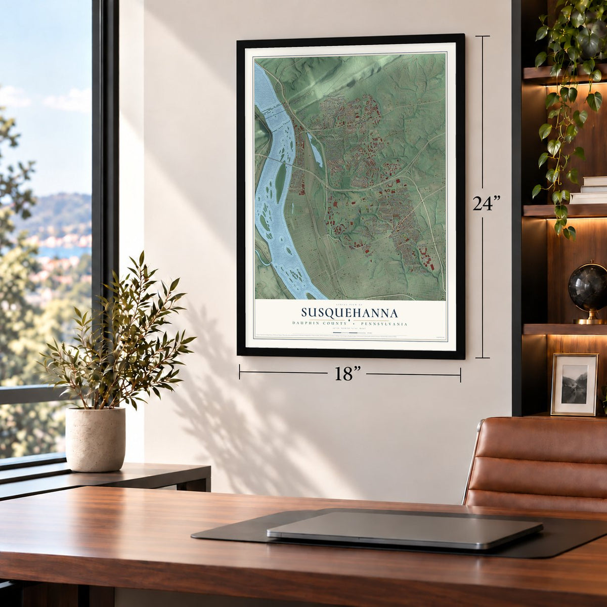
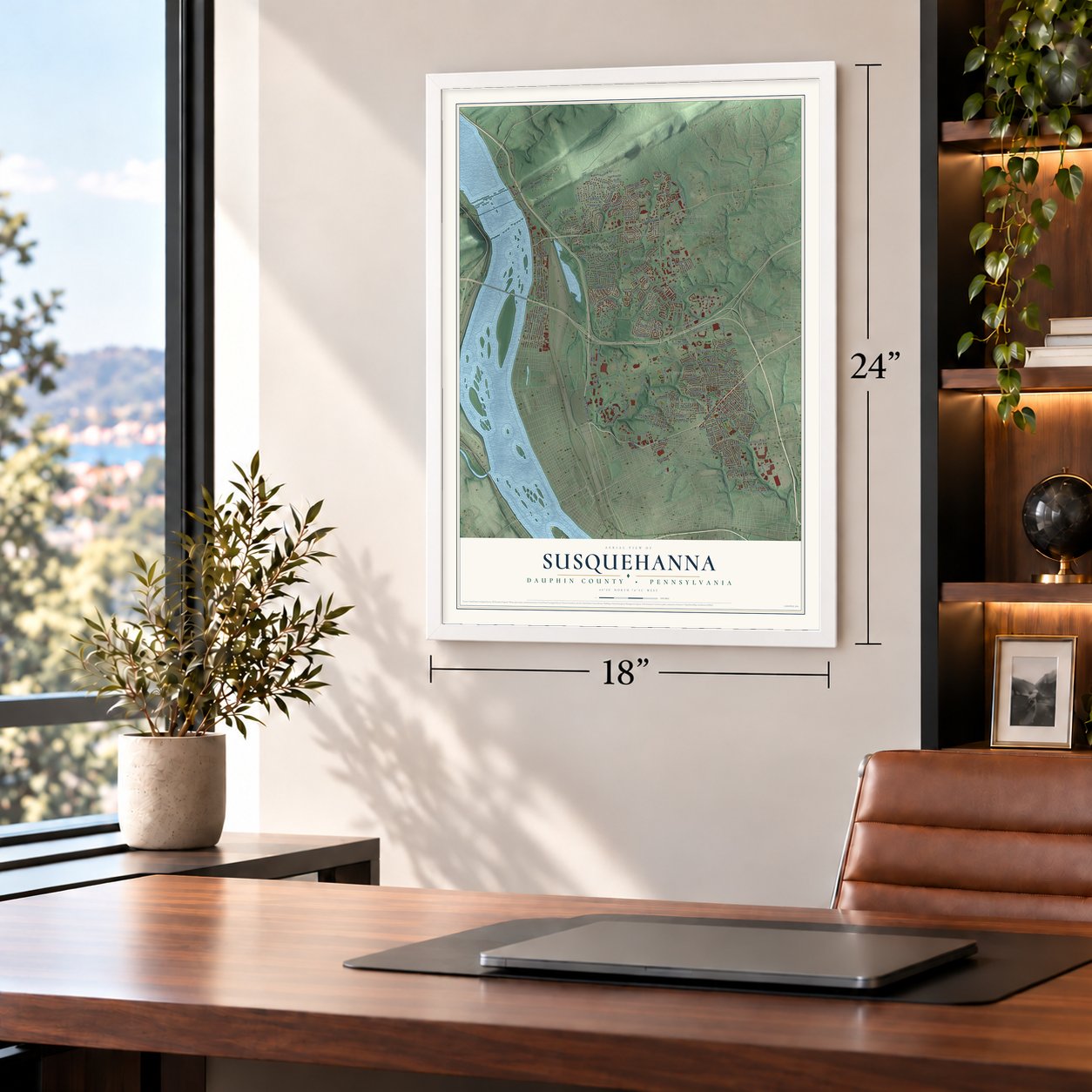
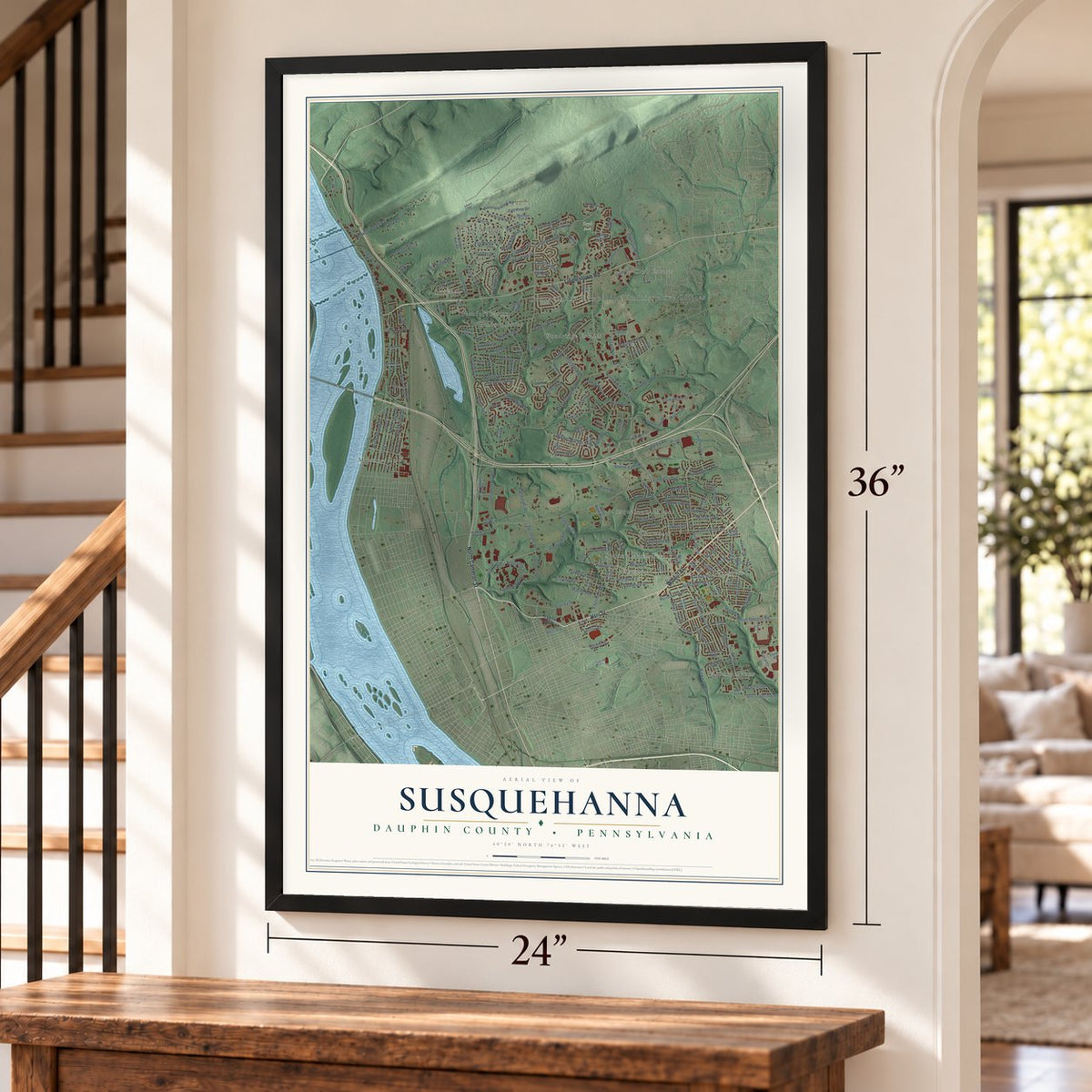
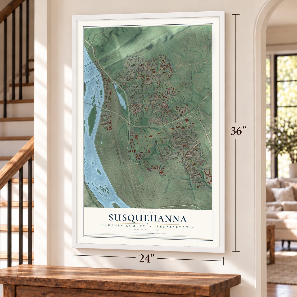
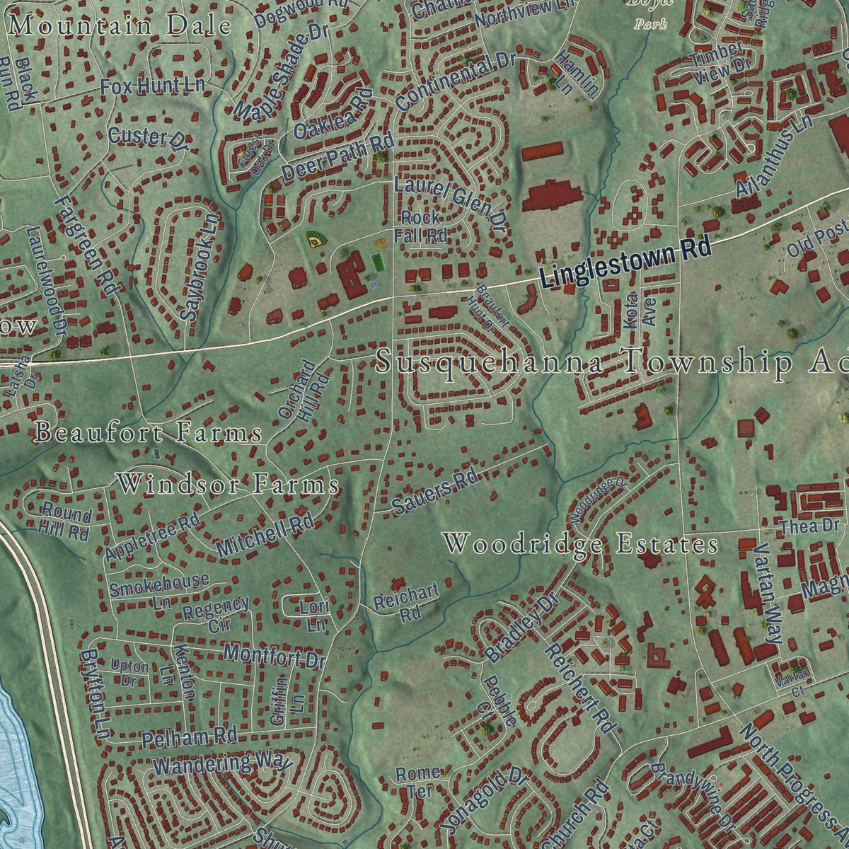
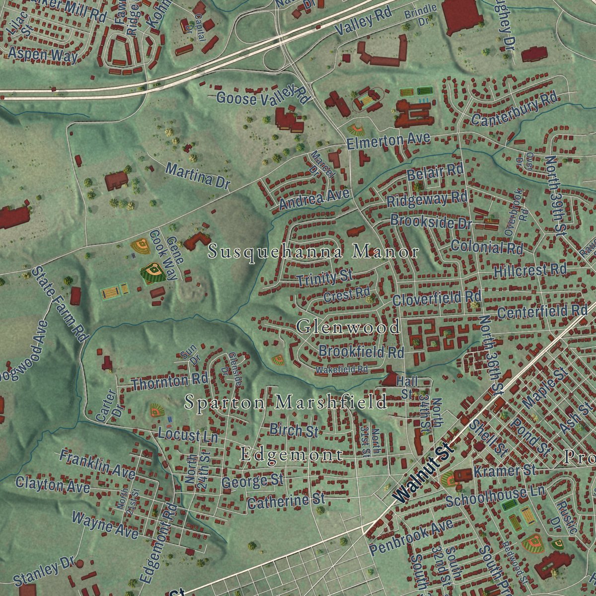
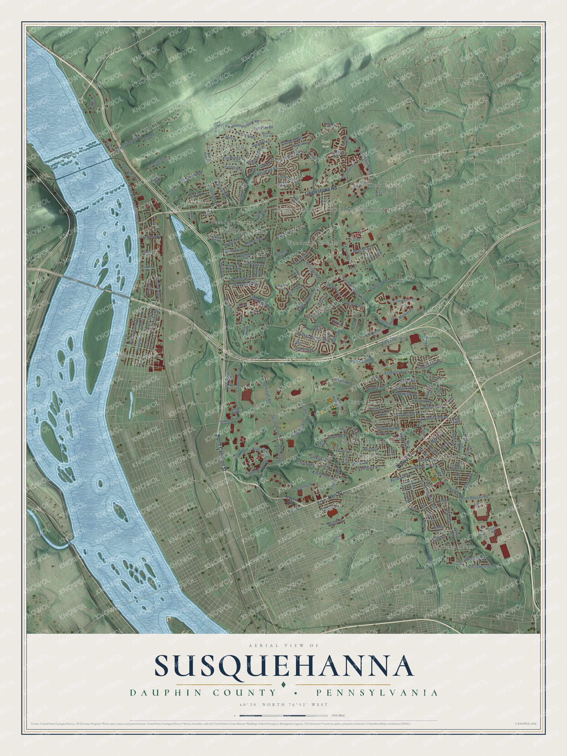
Explore Susquehanna, Pennsylvania from a whole new perspective. Created using aerial imagery and detailed geographic data, this map captures Susquehanna building by building, with labeled streets, familiar landmarks, and shaded topographical relief that highlights the natural contours of the landscape.
Combining modern data with the timeless character of a vintage atlas, this map is just as interesting up close as it is beautiful on the wall. Whether you grew up in Susquehanna, spent memorable years there, or call it home today, this unique map is a great way to celebrate a place that means something to you. Zoom in on the preview to look for your street, and then order a print to put your memories on the wall.
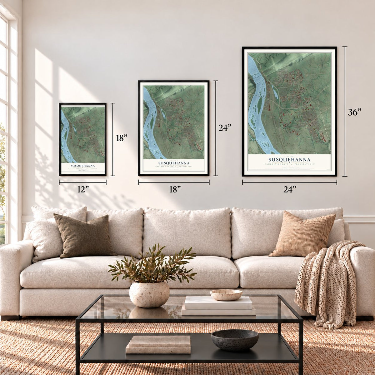
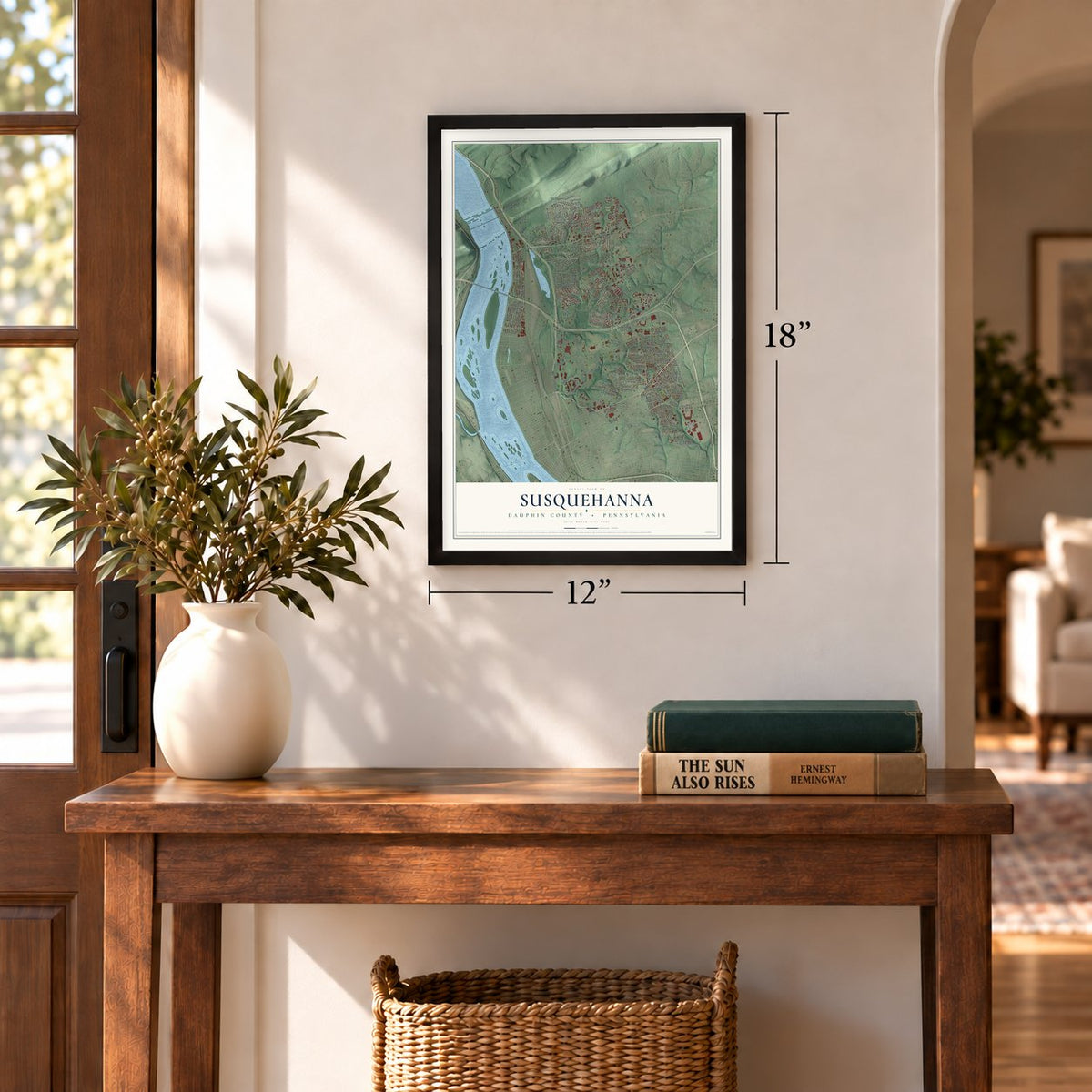
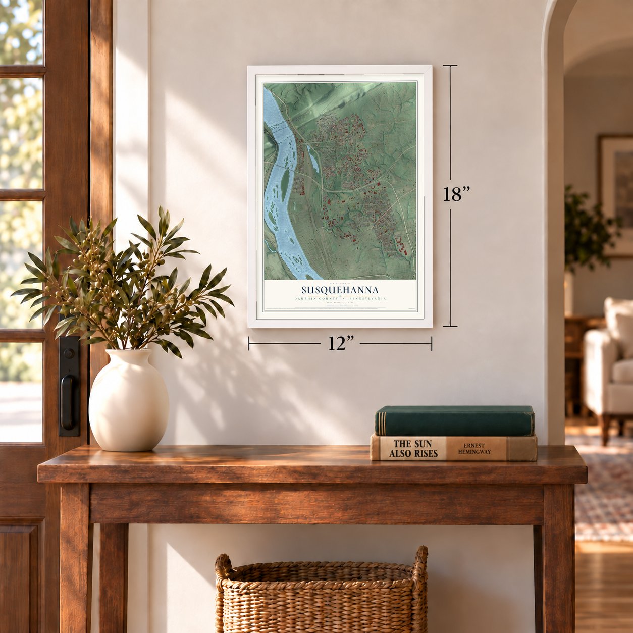
Three ways to hang it
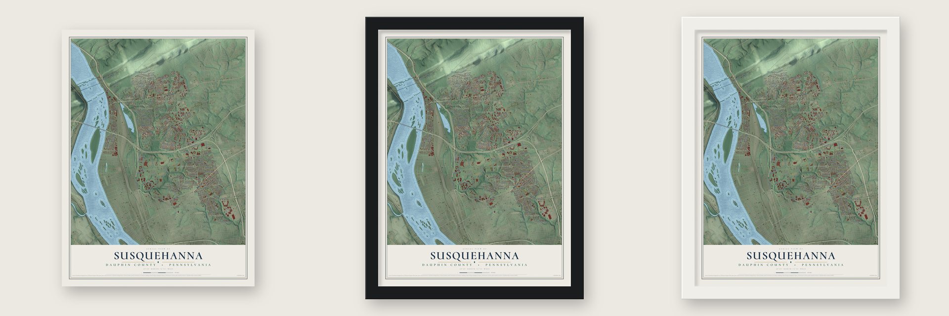
Unframed archival matte, a black wood frame or a white wood frame.
Up close
Geography Worth Displaying
This map was created using accurate cartographic data and authoritative geographic sources, including the U.S. Geological Survey and the Census Bureau. The map brings together terrain, waterways, roads, and building detail. The majority of the streets are labeled, houses are accurately depicted, and the topography is derived from government sources. Combining local data with carefully composed color and shading leads to this beautifully detailed Susquehanna artwork for your wall.
Rather than simply showing street outlines, we’ve included as many of the street names as we could reasonably fit on the map while keeping their names legible. Zoom in on the high resolution preview to see exactly what’s on the map. We truly set out to create a statement piece for anyone who loves Susquehanna. So whether it’s for you, or a gift for someone you love, we hope this map of Susquehanna brings back fond memories.
Read the story behind this map of Susquehanna, Dauphin County, Pennsylvania from 2026.
Find your street
Names on the Susquehanna map
Every name below is printed on this map. Look for your street, your school, the park where you played, or the pond down the road.
Places and landmarks15
- Susquehanna Township Administrative Offices
- Boyd Park
- Paxtang Manor
- Montrose Park
- Susquehanna Manor
- Beaufort Farms
- Edgemont
- Progress
- Mountain Dale
- Club Estates
- Woodridge Estates
- Sparton Marshfield
Show all 15 places
- Windsor Farms
- Lucknow
- Glenwood
Streets and roads220
- Walnut Street
- Herr Street
- Linglestown Road
- North Cameron Street
- Dogwood Drive
- Stanley Drive
- Sycamore Drive
- North 39th Street
- Parkway Boulevard
- South Circle Drive
- North Progress Avenue
- Crooked Hill Road
- North Front Street
- Elmerton Avenue
- Paxton Church Road
- River Road
- North Sixth Street
- Union Deposit Road
- Green Street
- Kohn Road
- Fargreen Road
- South Progress Avenue
- Locust Lane
- North Second Street
- Front Street
- Mountain View Road
- Schoolhouse Lane
- Ridgeway Road
- Roberts Valley Road
- Interstate Drive
Show all 220 streets
- Cloverfield Road
- Continental Drive
- Wood Street
- Deer Path Road
- North Third Street
- Ionoff Road
- North 36th Street
- Blue Ridge Road
- Brookfield Road
- Valley Road
- Jonagold Drive
- Wandering Way
- Bradley Drive
- North Fourth Street
- Saybrook Lane
- Clayton Avenue
- Kramer Street
- George Street
- Doehne Road
- Oakhurst Boulevard
- Laurel Glen Drive
- Hillcrest Road
- Edgemont Road
- Chatham Way
- Vartan Way
- Walker Mill Road
- Aspen Way
- Centerfield Road
- Maple Street
- Shell Street
- Montfort Drive
- Ailanthus Lane
- State Farm Road
- Bamburger Road
- Maple Shade Drive
- Shutt Mill Road
- Pelham Road
- Reichert Road
- Mitchell Road
- Market Place
- South 31st Street
- Colonial Road
- Latshmere Drive
- Wayne Avenue
- Shield Street
- Sauers Road
- Catherine Street
- Katie Court
- Apollo Avenue
- Old Township Road
- Tuscarora Street
- Goose Valley Road
- Ash Street
- Eric Drive
- Trinity Street
- Dogwood Avenue
- Custer Drive
- Fox Hunt Lane
- Franklin Avenue
- Magnolia Terrace
- Darby Road
- Penbrook Avenue
- Brookside Drive
- Commerce Drive
- Martina Drive
- Beaufort Street
- Canterbury Road
- Vernon Street
- Park Road
- Birch Street
- Thornton Road
- Belair Road
- Red Road
- Andrea Avenue
- Caughey Drive
- Lucknow Road
- Kaby Street
- Tall Pine Drive
- Oaklea Road
- Brytton Lane
- High Street
- Forster Street
- Pond Street
- Levan Street
- Arsenal Boulevard
- Canby Street
- Davis Street
- Regency Circle
- North Circle Drive
- Appletree Road
- Laurelwood Drive
- Wilhelm Road
- Pebble Court
- Nationwide Drive
- Thea Drive
- Orchard Hill Road
- North 24th Street
- Mountainview Road
- South 32nd Street
- Fulton Street
- Rock Ledge Drive
- Northview Lane
- Sandra Avenue
- Brandywine Drive
- Round Hill Road
- North 34th Street
- Larry Drive
- Black Run Road
- Old Post Drive
- Kota Avenue
- Holly Drive
- Smokehouse Lane
- Dogwood Road
- Fawn Ridge Road
- Crest Road
- Miller Lane
- Lori Lane
- Vesta Lane
- Old Crooked Hill Road
- Kenton Lane
- Timber View Drive
- Rose Hill Road
- Rock Fall Road
- Wood Alley
- Reichart Road
- Corey Road
- Gorse Drive
- Gene Cook Way
- Parkway Road
- Maple Lane
- Hall Street
- Bonita Court
- Carter Drive
- Rustic Drive
- Griffin Lane
- Houser Road
- Wilton Street
- Dotson Court
- Hagy Way
- Rome Terrace
- Ellis Drive
- Hamlin Lane
- Lilac Street
- Susquehanna Street
- Brindle Drive
- Mountain Rise Drive
- Christopher Place
- Reserve Way
- Saddle Ridge Drive
- Fort Hunter Road
- Logan Avenue
- Overbrook Road
- Marcel Drive
- Glenbrook Drive
- Powers Avenue
- Wildwood Park Drive
- Lincoln Circle
- Upton Drive
- Albright Road
- Kingsley Drive
- Latsha Drive
- Rodkey Road
- Kunkel Street
- North 31st Street
- Gale Drive
- Tower Road
- Rauch Street
- Sun Drive
- Harrisburg State Hospital
- Redwood Street
- Beaufort Hunt Drive
- Penn Street
- Logan Street
- High Pointe Drive
- North 21st Street
- Wakefield Road
- Woodridge Drive
- Glenside Drive
- Vartan Court
- Aldridge Lane
- Buxton Road
- Capital Drive
- Park Drive
- Over Drive
- Linden Parkway
- Stuart Place
- Forest Oak Drive
- Salem Road
- Lescure Drive
- Green Hill Road
Names are listed as they appear on the printed map. Zoom into the product photos to find them.
About Susquehanna, Dauphin County, Pennsylvania
From Luther Reily Kelker's 1907 History of Dauphin County, Pennsylvania: "Rockville, five miles from Harrisburg, in Susquehanna township, was first settled by a Mr. Roberts, in 1774, platted by Mrs. Matilda Cox in 1834, and added to by a platting made in 1838, by Miss McAllister. At first it bore the name of Brushy Rock, but later took the present name."
Keep exploring Pennsylvania
Susquehanna is one of 3,725 Pennsylvania towns we've mapped. Every dot on the map is a print of its own.
The search covers every state, Pennsylvania first.
Near Susquehanna
Order 2 or more town maps and save 10%. Shown in the size and finish you picked above, so they hang as a set.
- Uptown 12" x 18" / Archival Matte Print $39.99
- Progress 12" x 18" / Archival Matte Print $39.99
- Penbrook 12" x 18" / Archival Matte Print $39.99
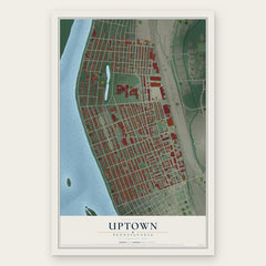
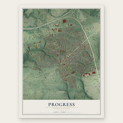
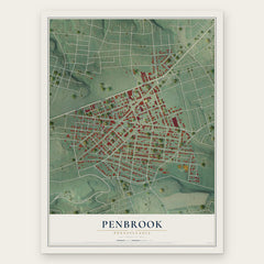
More maps nearby: Harrisburg, Midtown, Allison Hill, Colonial Park and Lower Paxton.
The art of mapping a place
How This Map Was Made
Real places. Remarkable detail. Discover the layers that turn geographic data into a map of home.

The view from above
Aerial imagery reveals the character of the land: woodland, open fields, and the patterns of a place.

The shape of the land
Elevation data brings hills, valleys, and subtle changes in the landscape into view.

The details of home
Roads, waterways, and building footprints come together to make the map feel unmistakably local.

Geography becomes art
Considered color, shading, and typography bring the layers together in a map made for your wall.


Process illustrated with Mendon, Massachusetts. Aerial imagery: USDA NAIP. Terrain: USGS 3D Elevation Program. Map details and finished artwork: KNOWOL.
The Details
About This Print
Choose an archival matte print, or a black or white Ayous wood frame. The archival matte print is unframed.
Select your size and finish above to see the matching product image and price.
Materials & Craftsmanship
A contemporary map with the character of a classic atlas, printed on archival matte paper. Optional frames are made from Ayous wood.
Your printed map does not include the watermark shown in the full-map preview.
Shipping & Delivery
Free shipping within the United States. Every print is made to order in the USA.
Buying a gift? Add a note in your cart and we'll include it. We never put prices in the package.
Prints ship within 2 to 3 business days. Allow 7 to 10 days total from ordering for delivery. Timing may vary during holidays or periods of high order volume.
Read our shipping policy.
Returns and damaged prints
Each print is made to order. Change-of-mind refunds are not available after production.
If your print arrives damaged, misprinted or incorrect, contact support@knowol.com within 30 days of receiving it. Include your order number, photos and a description of the issue.
Read our full refund and replacement policy. For questions about your order, email support@knowol.com.