
Search for another town
Free U.S. delivery 7 to 10 days after you order
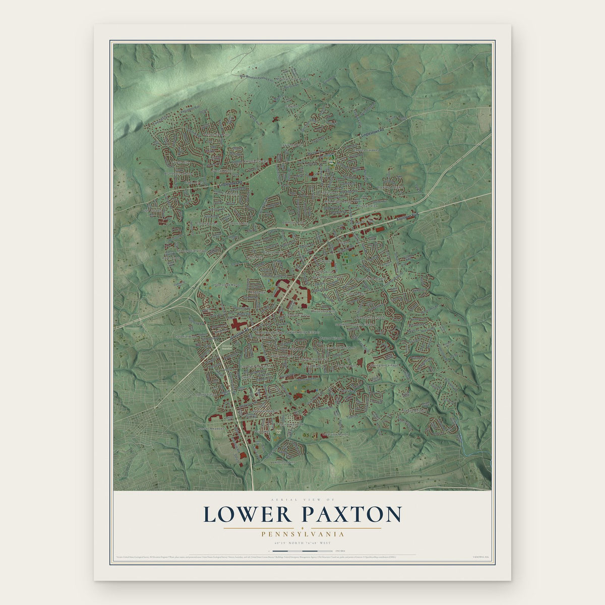
Lower Paxton, Pennsylvania Map Art
Building by building, with labeled streets and shaded relief.
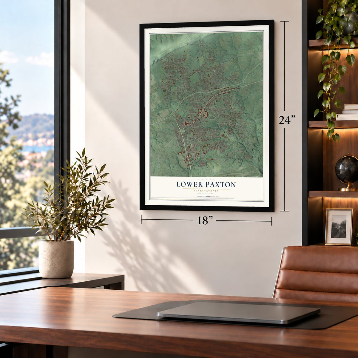
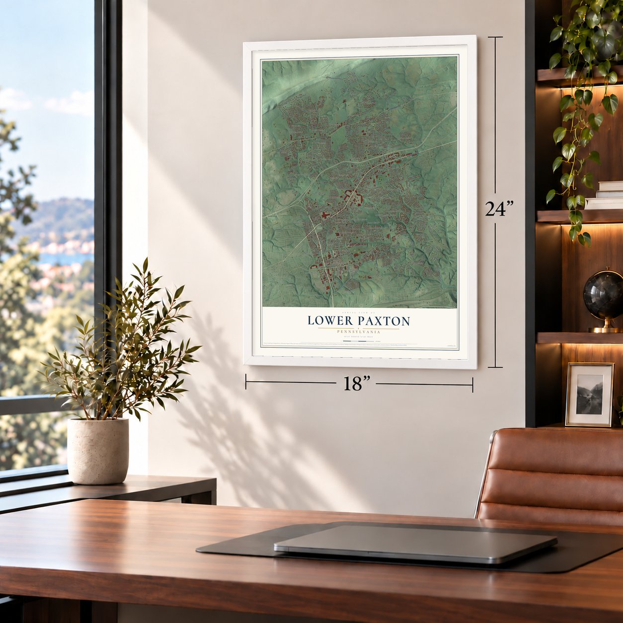
12" x 18" Archival Matte Print
A Map of Home. A Work of Art.
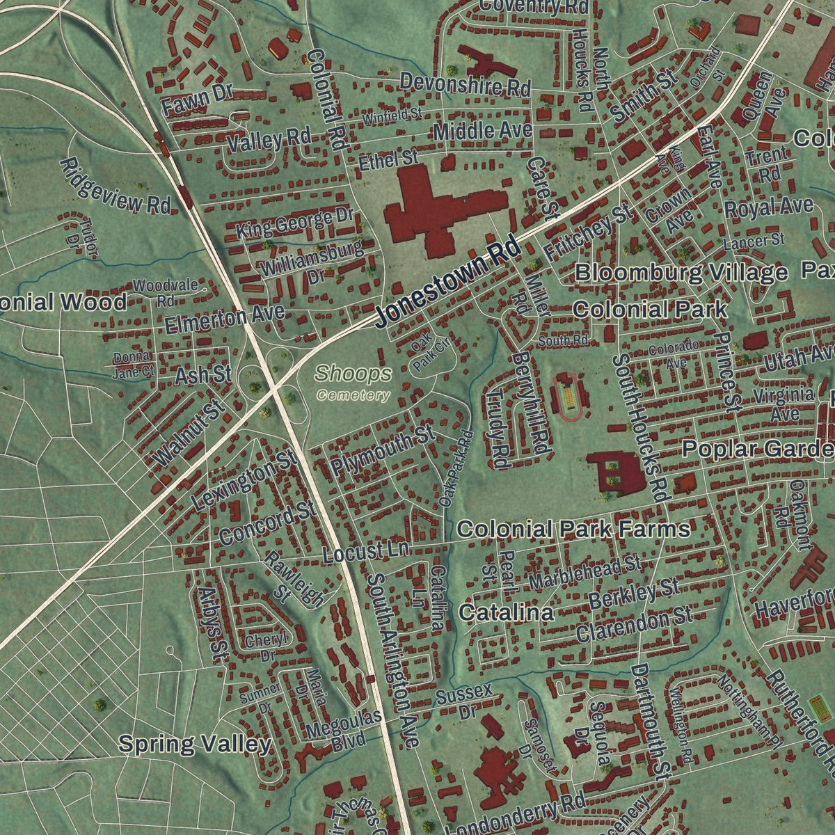
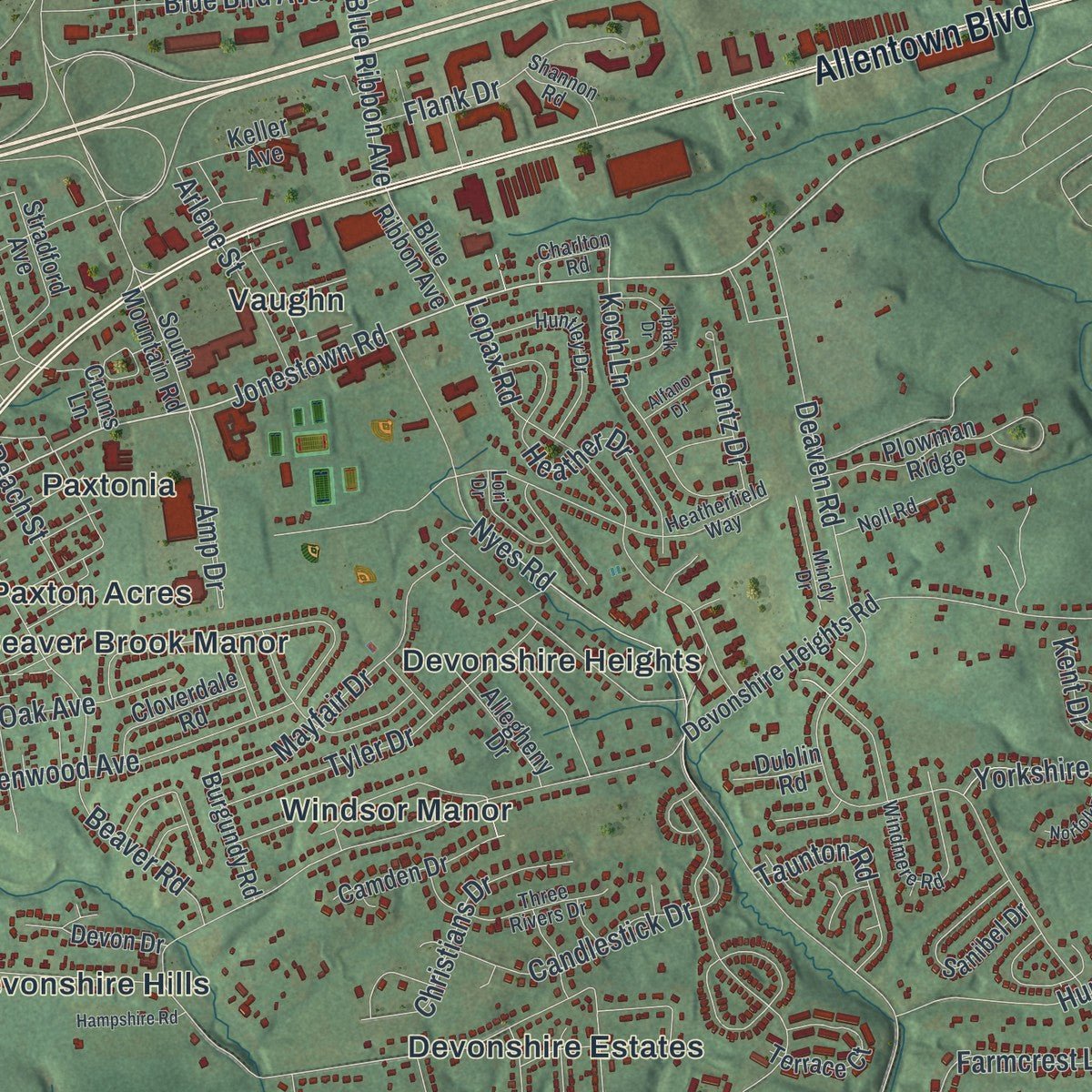
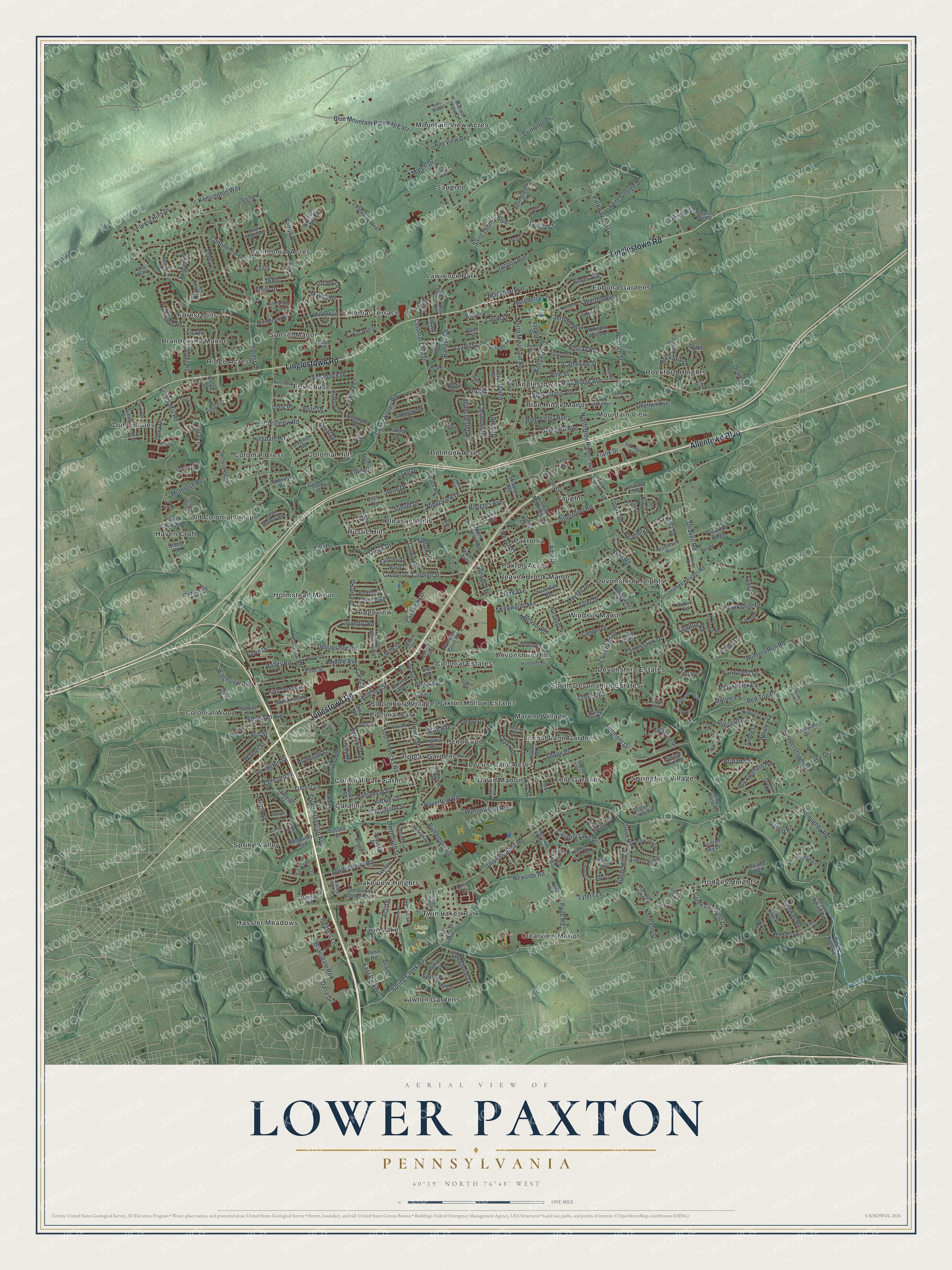
Explore Lower Paxton, Pennsylvania from a whole new perspective. Created using aerial imagery and detailed geographic data, this map captures Lower Paxton building by building, with labeled streets, familiar landmarks, and shaded topographical relief that highlights the natural contours of the landscape.
Combining modern data with the timeless character of a vintage atlas, this map is just as interesting up close as it is beautiful on the wall. Whether you grew up in Lower Paxton, spent memorable years there, or call it home today, this unique map is a great way to celebrate a place that means something to you. Zoom in on the preview to look for your street, and then order a print to put your memories on the wall.
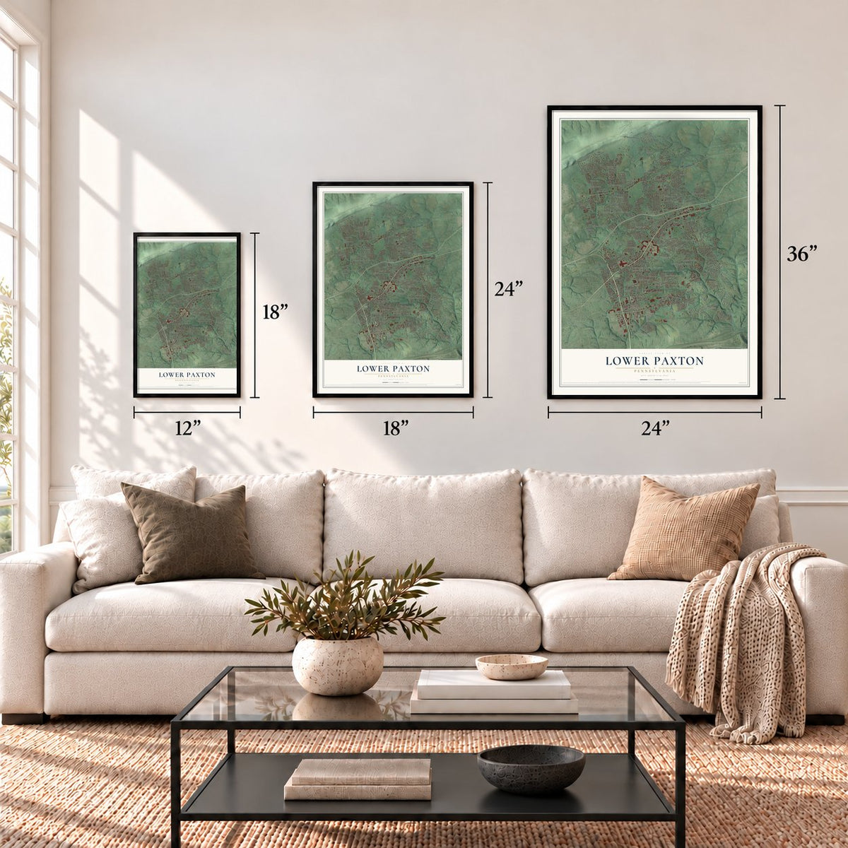
Three ways to hang it
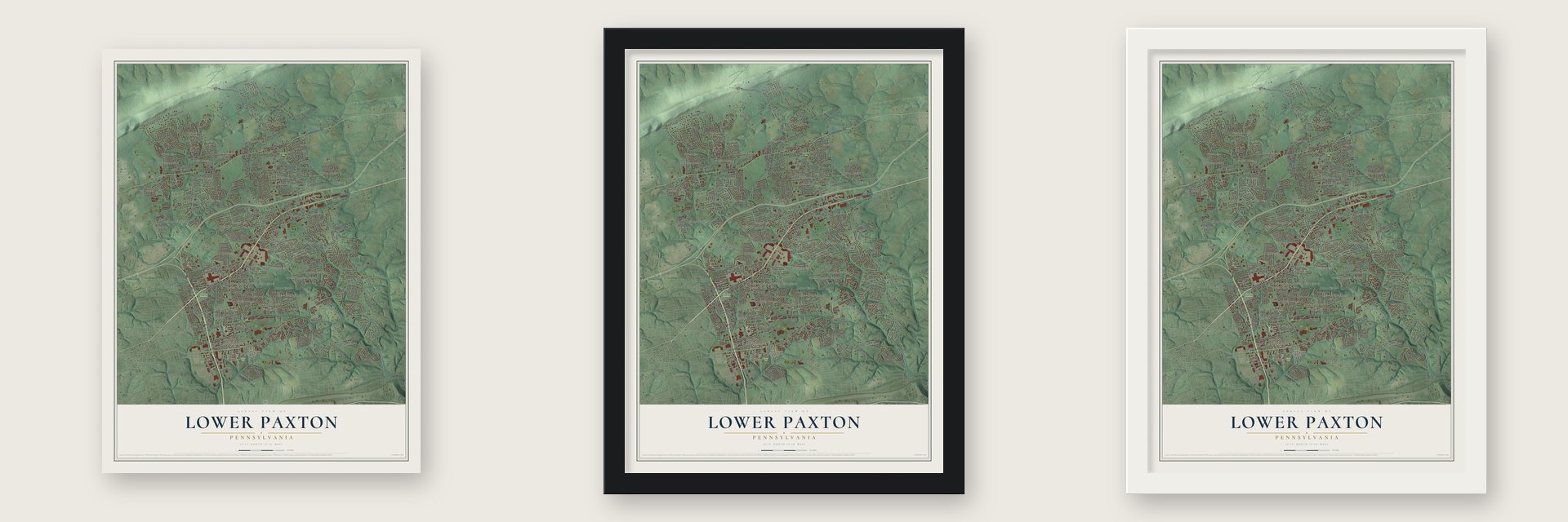
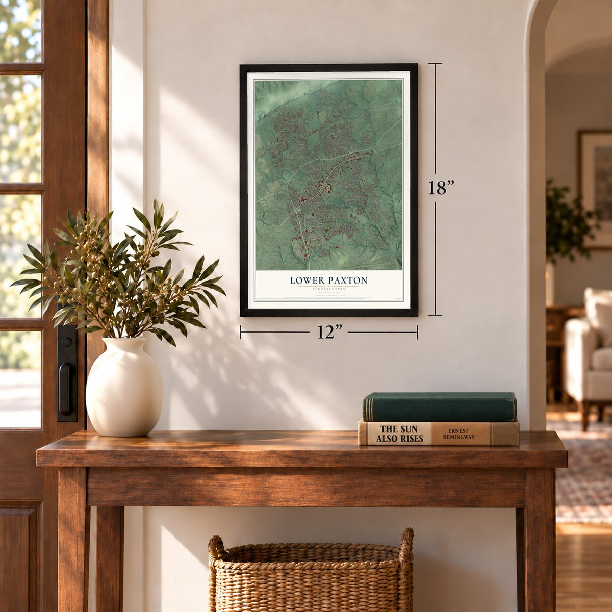
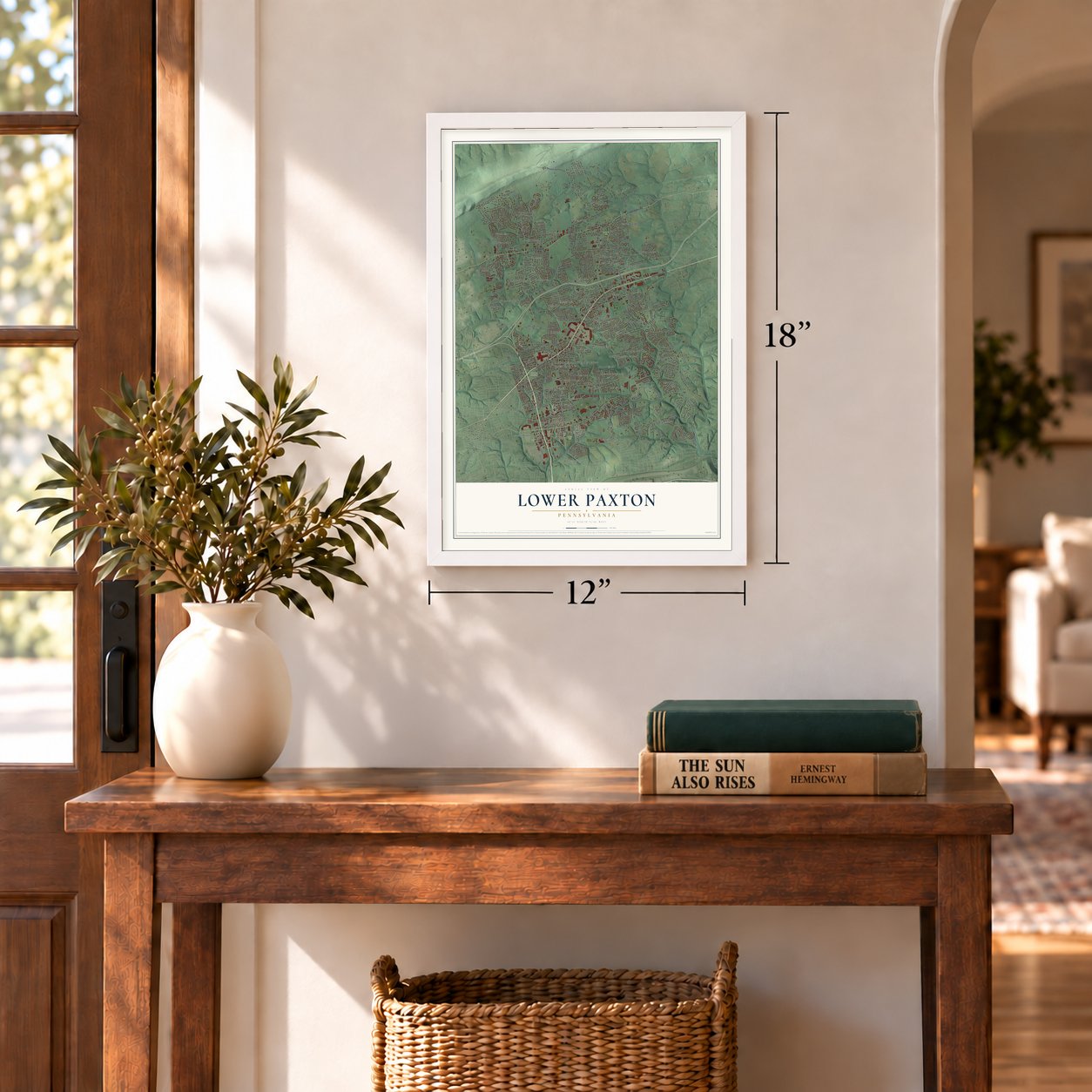
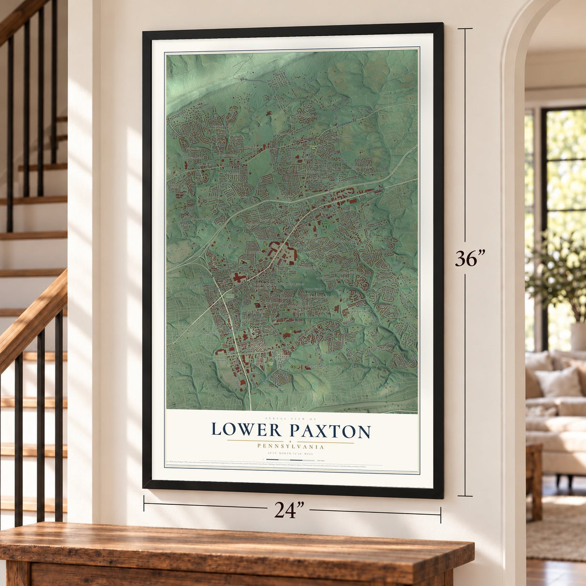
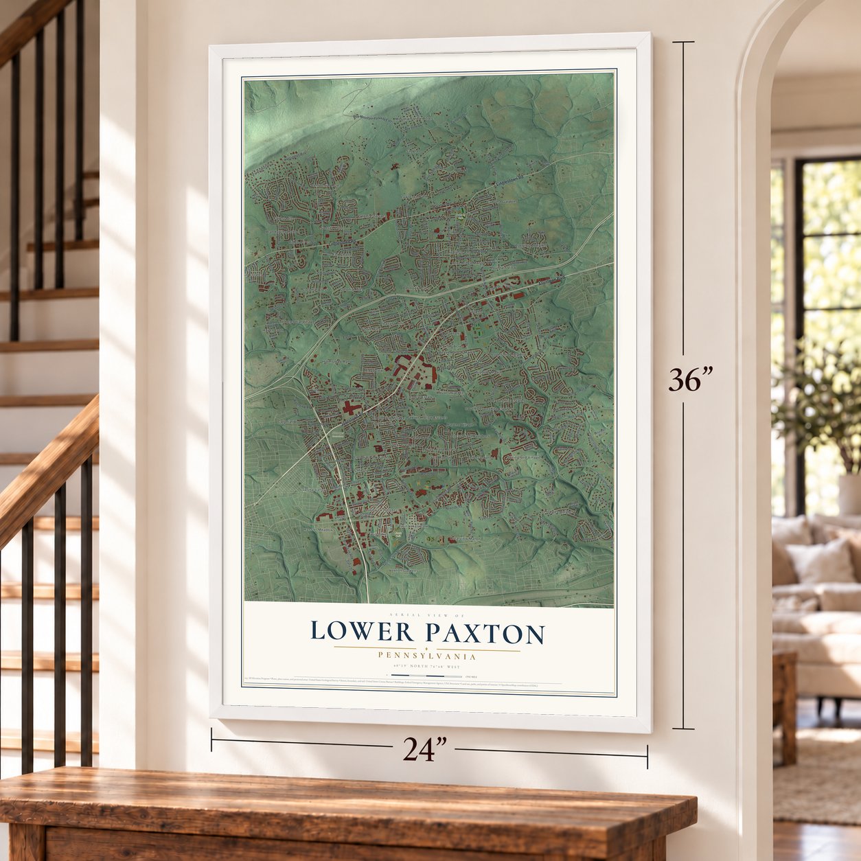
Unframed archival matte, a black wood frame or a white wood frame.
Up close
Geography Worth Displaying
This map was created using accurate cartographic data and authoritative geographic sources, including the U.S. Geological Survey and the Census Bureau. The map brings together terrain, waterways, roads, and building detail. The majority of the streets are labeled, houses are accurately depicted, and the topography is derived from government sources. Combining local data with carefully composed color and shading leads to this beautifully detailed Lower Paxton artwork for your wall.
Rather than simply showing street outlines, we’ve included as many of the street names as we could reasonably fit on the map while keeping their names legible. Zoom in on the high resolution preview to see exactly what’s on the map. We truly set out to create a statement piece for anyone who loves Lower Paxton. So whether it’s for you, or a gift for someone you love, we hope this map of Lower Paxton brings back fond memories.
Read the story behind this map of Lower Paxton, Pennsylvania from 2026.

Find your street
Names on the Lower Paxton map
Every name below is printed on this map. Look for your street, your school, the park where you played, or the pond down the road.
Places and landmarks60
- Koon's Park
- Lingle Park
- Shoops Cemetery
- Beaver Brook Manor
- Belmont Acres
- Bloomburg Village
- Blue Ridge Manor
- Brandywine Manor
- Catalina
- Centennial Acres
- Clearview Manor
- Club Estates
Show all 60 places
- Colonial Crest
- Colonial Estates
- Colonial Hills
- Colonial Park
- Colonial Park Farms
- Colonial Terrace
- Colonial Wood
- David Manor
- Devonshire Estates
- Devonshire Heights
- Devonshire Hills
- Eubuna Gardens
- Forest Hills
- Fox Chase
- Hassler Meadows
- Haven Croft
- Hodges Heights
- Holmstead Manor
- Kent Gardens
- Lakeview Heights
- Lawrence Park
- Lawton Gardens
- Linglestown
- Locust Lane Acres
- Locust Lane Gardens
- Marene Village
- Mountain View
- Mountain View Acres
- Old Colonial Village
- Paxton Acres
- Paxton Hollow Estates
- Paxtonia
- Pennwood
- Pleasant Hills
- Poplar Gardens
- Ridge Acres
- Ridgeview
- Rockford Heights
- Rustic Hills
- Sangree
- South Devonshire Estates
- Spring Valley
- Springford Village
- Sunset Manor
- Twin Lakes
- Twin Lakes Park
- Vaughn
- Windsor Manor
Streets and roads378
- Jonestown Road
- Linglestown Road
- Allentown Boulevard
- Forest Hills Drive
- Wenrich Street
- Blue Ridge Avenue
- Dartmouth Street
- Saint Thomas Boulevard
- Spring Creek Road
- South Houcks Road
- Wynnewood Road
- Colonial Road
- North Blue Ribbon Avenue
- Union Deposit Road
- Nyes Road
- Locust Lane
- Devonshire Road
- Crums Mill Road
- Blue Mountain Parkway East
- Parkway East
- Deaven Road
- North Mountain Road
- Conway Road
- Goose Valley Road
- Lyters Lane
- Continental Drive
- Earl Drive
- Fairmont Drive
- Colonial Club Drive
- Hunters Run Road
Show all 378 streets
- Red Top Road
- Kensington Way
- Londonderry Road
- Catherine Street
- Forest Lane
- Commons Drive
- Patton Road
- Rutherford Road
- Ridgeview Drive
- Compton Drive
- Beaver Road
- Crestview Road
- Berkley Street
- South Arlington Avenue
- Peiffers Lane
- Lopax Road
- East Park Drive
- Abbey Lane
- Willoughby Road
- Country Lake Drive
- Irene Drive
- McIntosh Road
- Fairway Lane
- Valley Road
- Curvin Drive
- Balthaser Street
- Copperstone Road
- Prince Street
- Edsel Road
- Pine Street
- Whitley Drive
- Farmcrest Lane
- Amp Drive
- Chelton Avenue
- Ridgeview Road
- Sunny Hill Lane
- Page Road
- Avon Drive
- Buckingham Road
- Elmerton Avenue
- Lexington Street
- Tyler Drive
- Carolyn Street
- Briarsdale Road
- Fritchey Street
- Sunset Drive
- Heather Drive
- Mayfair Drive
- Yorkshire Drive
- Newside Road
- Sycamore Drive
- Gallop Road
- Kenwood Avenue
- Grove Road
- Concord Street
- Creek Crossing Drive
- Blue Bird Avenue
- Blue Grass Avenue
- Clermont Drive
- Berryhill Road
- Larue Street
- Royal Avenue
- Christians Drive
- Warren Avenue
- Brittan Road
- Blackberry Lane
- Elwill Drive
- Hillsdale Road
- Jacobs Avenue
- Sweetbriar Drive
- Koch Lane
- Flank Drive
- Coventry Road
- Sweetbrier Terrace
- Candlestick Drive
- Elmer Avenue
- Raspberry Lane
- Ryecroft Drive
- Blanchester Road
- Dover Road
- Fox Street
- Middle Avenue
- Nassau Road
- Smith Street
- Ranger Road
- Walnut Street
- Taunton Road
- Arlene Street
- Clarendon Street
- Saint George Drive
- Tiffany Lane
- Lake Drive
- McCormick Lane
- Drexel Road
- Shope Place
- Oak Avenue
- Jerome Boulevard
- Creek Drive
- Rockford Drive
- Haverford Road
- Ray View Drive
- Lentz Drive
- Fawn Drive
- Suffolk Road
- Dora Drive
- Plymouth Street
- Emily Drive
- Toftree Drive
- Blue Valley Avenue
- Peach Street
- Leo Drive
- Lisa Drive
- Ryan Drive
- Trudy Road
- Utah Avenue
- Care Street
- Barnsley Drive
- Clover Road
- Rodgers Avenue
- Sunset Avenue
- Laura Lane
- Mance Drive
- Grant
- Laurel Street
- Acri Drive
- Huron Drive
- Kent Drive
- Moline Lane
- Doric Drive
- Arbys Street
- March Drive
- Genoa Court
- Dana Drive
- Doral Drive
- Long Drive
- Ash Street
- Kay Street
- Van Street
- South Nyes Road
- Parkway West
- Devonshire Heights Road
- North Lockwillow Avenue
- Wimbledon Drive
- Cider Press Road
- Secretariat Street
- Beaver Spring Road
- Huntsmen Drive
- Spring Knoll Drive
- Loop Drive
- Carolyn Drive
- Valleyview Road
- Birch Knoll Drive
- Marblehead Street
- Janelle Drive
- Kendale Drive
- Village Road
- Plowman Ridge
- North Houcks Road
- Carrollton Drive
- Bennington Drive
- Twin Lakes Drive
- Earl Avenue
- Vesta Drive
- Hampton Court Road
- Ethel Street
- Queen Avenue
- Marion View Drive
- Autumn Oaks Drive
- Station Circle Road
- Paxton Church Road
- Quail Hollow Road
- Springford Drive
- Hassler Road
- Virginia Avenue
- Avis Lane
- Dunmore Drive
- Galion Street
- Scenery Drive
- Catalina Lane
- Saddlebrook Drive
- Old Union Deposit Road
- Lakeview Road
- Stevenson Avenue
- Sequoia Drive
- Terrace Court
- Jaycee Avenue
- Hidden Lake Drive
- Judy Lane
- Rawleigh Street
- Carol Drive
- Leonard Drive
- Camden Drive
- Circle Drive
- Albany Road
- West Tilden Road
- Stradford Avenue
- King George Drive
- Stellata Court
- Pearl Street
- Cloverdale Road
- Williamsburg Drive
- Sir Thomas Court
- Miller Road
- Sussex Drive
- Cherry Hill Road
- Larkin Avenue
- Tarryton Road
- Allegheny Drive
- Nesbit Drive
- Geraldine Drive
- Blue Ribbon Avenue
- Burgundy Road
- North 67th Street
- South Mountain Road
- Whisper Wood Lane
- Fairview Drive
- Sue Ann Drive
- Laporte Street
- Ashbury Drive
- Almari Lane
- Cornell Road
- Keller Avenue
- Commerce Drive
- Norwalk Drive
- Crums Lane
- Sanibel Drive
- Devon Drive
- Crown Avenue
- Penn Road
- Megoulas Boulevard
- Saddle Lane
- Delano Boulevard
- Gale Drive
- Oakmont Road
- Harvest Field Lane
- Dublin Road
- Adams Avenue
- Painted Sky Drive
- Vera Street
- Tee Road
- Grace Road
- Club Drive
- Nora Avenue
- Trent Road
- Drake Drive
- Palm Street
- Iru Lane
- Eric Drive
- Ringneck Drive
- Terrace Way
- Creekwood Drive
- Blue Stone Avenue
- Churchill Road
- Windmere Road
- Winthrop Drive
- Heatherfield Way
- Oak Park Road
- Locust Street
- Withers Court
- Keystone Drive
- Marene Drive
- Thicket Lane
- Cardigan Court
- Three Rivers Drive
- Huntley Drive
- Page Road Extended
- Rowe Lane
- Outerbridge Crossing
- Samoset Drive
- Woodvale Road
- Berkshire Lane
- Melbourne Drive
- Regent Drive
- Lancer Street
- Lemar Avenue
- Barley Corn Square
- Laraby Drive
- Nottingham Place
- Harwich Road
- Fawn Ridge Road
- Charlton Road
- Alleo Lane
- Mindy Drive
- Pleasant Hill Road
- Karen Drive
- Lori Drive
- Porche Drive
- Gibbel Road
- Noll Road
- Shannon Road
- Maria Drive
- South Carolina Drive
- Wayne Drive
- Terrill Road
- Tim Tam Drive
- Winston Road
- Aston Court
- Autumn Vw
- Rolling Glen Drive
- Temple Road
- Tudor Drive
- Cheryl Drive
- Deer Run Court
- Vesta Lane
- Joya Circle
- North Highlands Drive
- Seattle Slew Drive
- Winfield Street
- Dowhower Road
- Colorado Avenue
- Wilshire Road
- Orchard Street
- Ford Avenue
- Oak Park Circle
- Pond Road
- Augusta Drive
- Clubhouse Drive
- Superior Drive
- Wellington Road
- Willow Spring Road
- Seabiscuit Way
- Liptak Drive
- Danner Road
- Creek Run Road
- Laurel Lane
- Hampshire Road
- Doris View Drive
- Green Tree Road
- King Avenue
- Chapel Street
- South Road
- Norfolk Place
- Sunrise Circle
- Fenway Drive
- Alfano Drive
- Ironwood Drive
- Stirrup Court
- Emerald Lane
- Scenic Court
- Knacklyn Farms Court
- Mercury Road
- Calvary Road
- Donna Jane Court
- Egret Drive
- Sumner Drive
- Glen Street
- Lester Court
- Shatto Drive
Names are listed as they appear on the printed map. Zoom into the product photos to find them.
About Lower Paxton, Pennsylvania
Lower Paxton is a township of 53,501 people in Dauphin County, with Blue Mountain along its northern edge and Beaver Creek along its eastern side. It began as part of Paxtang Township, set up in 1729 as part of Lancaster County. That name came from Peshtank, an American Indian word meaning "standing water," and over time people came to say Paxton instead.
The old township was carved up again and again. Hanover Township split away to the east in 1736, and when Upper Paxton was cut off to the north in 1767, the land left behind took the name Lower Paxton. In 1785 the lines of old Paxtang became the borders of the new Dauphin County. The last piece to leave was Susquehanna Township, formed on May 1, 1815, and Lower Paxton has kept the same shape ever since. Today it has more people than any other municipality in the county.
- Patton's Fort, 1756 to 1763Patton's Fort stood near today's corner of Linglestown Road and Patton Road. It served as a station for the Paxton Rangers, who from 1756 to 1763 kept watch over the frontier farms and mountain gaps between the Susquehanna River and Swatara Creek.
- Barnett's Fort and a captured sonJoseph Barnett's log house on Linglestown Road sheltered frontier families in those same years. His son William was captured in 1756 and stayed away for seven years, until Col. Henry Bouquet recovered him in 1763. State markers for both forts were dedicated in 1947.
- Off to Quebec in 1775Capt. Matthew Smith led a company of Paxton Riflemen from Paxton Township all the way to Quebec, where they fought in the attack on the city on December 31, 1775. A marker along U.S. 22 remembers them.
Keep exploring Pennsylvania
Lower Paxton is one of 3,725 Pennsylvania towns we've mapped. Every dot on the map is a print of its own.
The search covers every state, Pennsylvania first.
Near Lower Paxton
Order 2 or more town maps and save 10%. Shown in the size and finish you picked above, so they hang as a set.
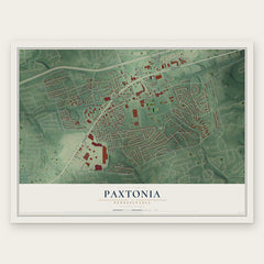
- Paxtonia 12" x 18" / Archival Matte Print $39.99
- Colonial Park 12" x 18" / Archival Matte Print $39.99
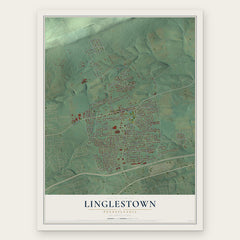
- Linglestown 12" x 18" / Archival Matte Print $39.99

More maps nearby: Progress, Susquehanna, Lawnton, Penbrook and Rutherford.
The art of mapping a place
How This Map Was Made
Real places. Remarkable detail. Discover the layers that turn geographic data into a map of home.

The view from above
Aerial imagery reveals the character of the land: woodland, open fields, and the patterns of a place.

The shape of the land
Elevation data brings hills, valleys, and subtle changes in the landscape into view.

The details of home
Roads, waterways, and building footprints come together to make the map feel unmistakably local.

Geography becomes art
Considered color, shading, and typography bring the layers together in a map made for your wall.


Process illustrated with Mendon, Massachusetts. Aerial imagery: USDA NAIP. Terrain: USGS 3D Elevation Program. Map details and finished artwork: KNOWOL.
The Details
About This Print
Choose an archival matte print, or a black or white Ayous wood frame. The archival matte print is unframed.
Select your size and finish above to see the matching product image and price.
Materials & Craftsmanship
A contemporary map with the character of a classic atlas, printed on archival matte paper. Optional frames are made from Ayous wood.
Your printed map does not include the watermark shown in the full-map preview.
Shipping & Delivery
Free shipping within the United States. Every print is made to order in the USA.
Buying a gift? Add a note in your cart and we'll include it. We never put prices in the package.
Prints ship within 2 to 3 business days. Allow 7 to 10 days total from ordering for delivery. Timing may vary during holidays or periods of high order volume.
Read our shipping policy.
Returns and damaged prints
Each print is made to order. Change-of-mind refunds are not available after production.
If your print arrives damaged, misprinted or incorrect, contact support@knowol.com within 30 days of receiving it. Include your order number, photos and a description of the issue.
Read our full refund and replacement policy. For questions about your order, email support@knowol.com.