
Search for another town


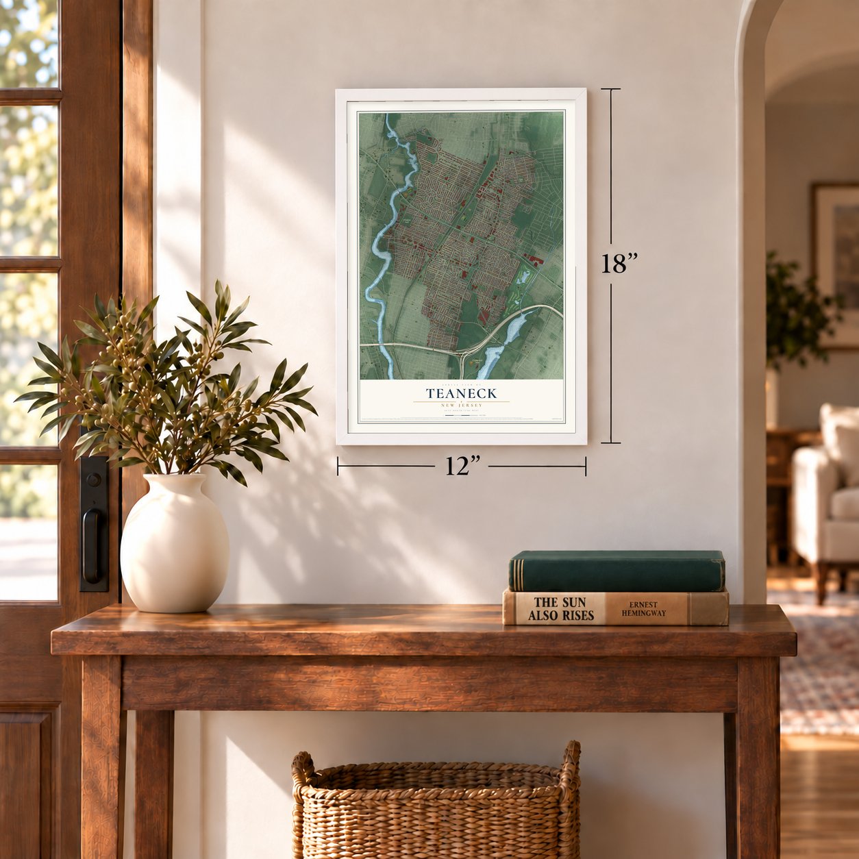

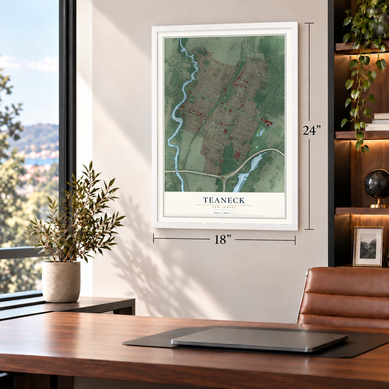
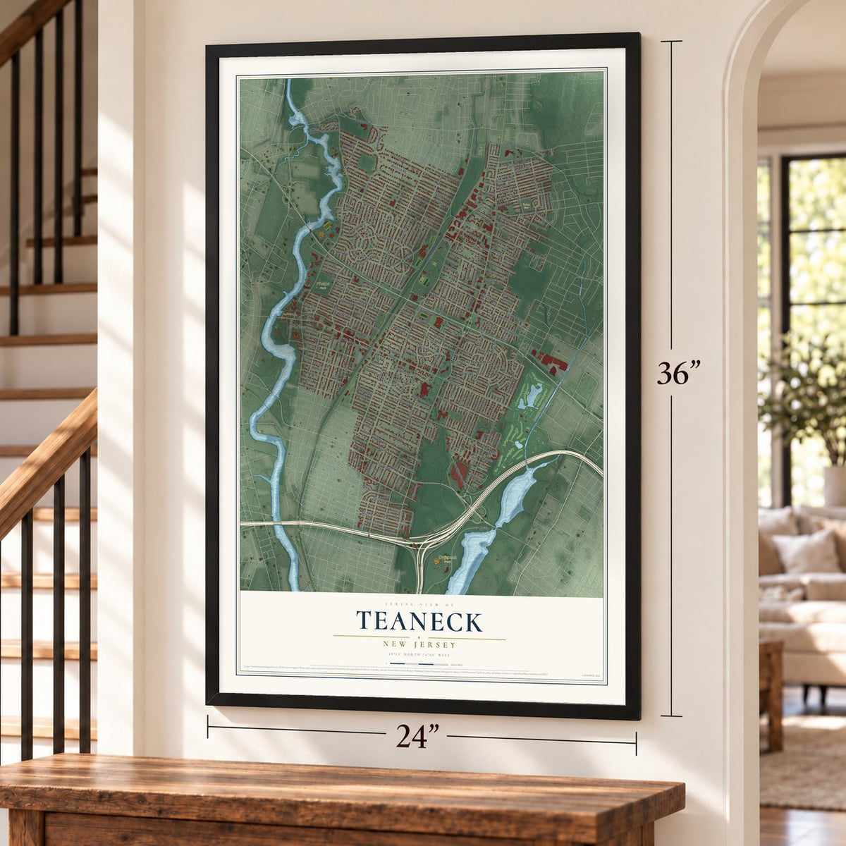
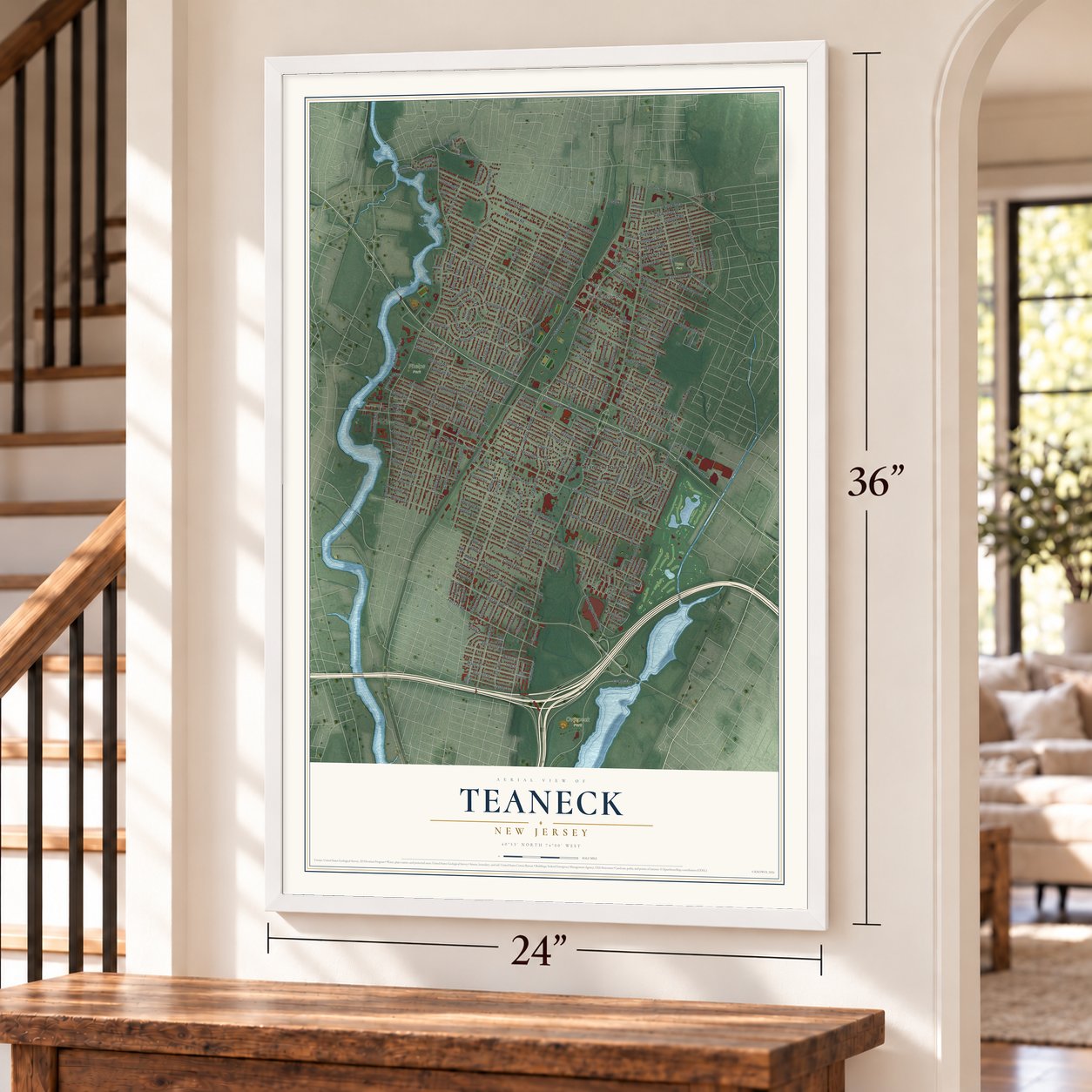

Free U.S. delivery 7 to 10 days after you order
Teaneck, New Jersey Map Art
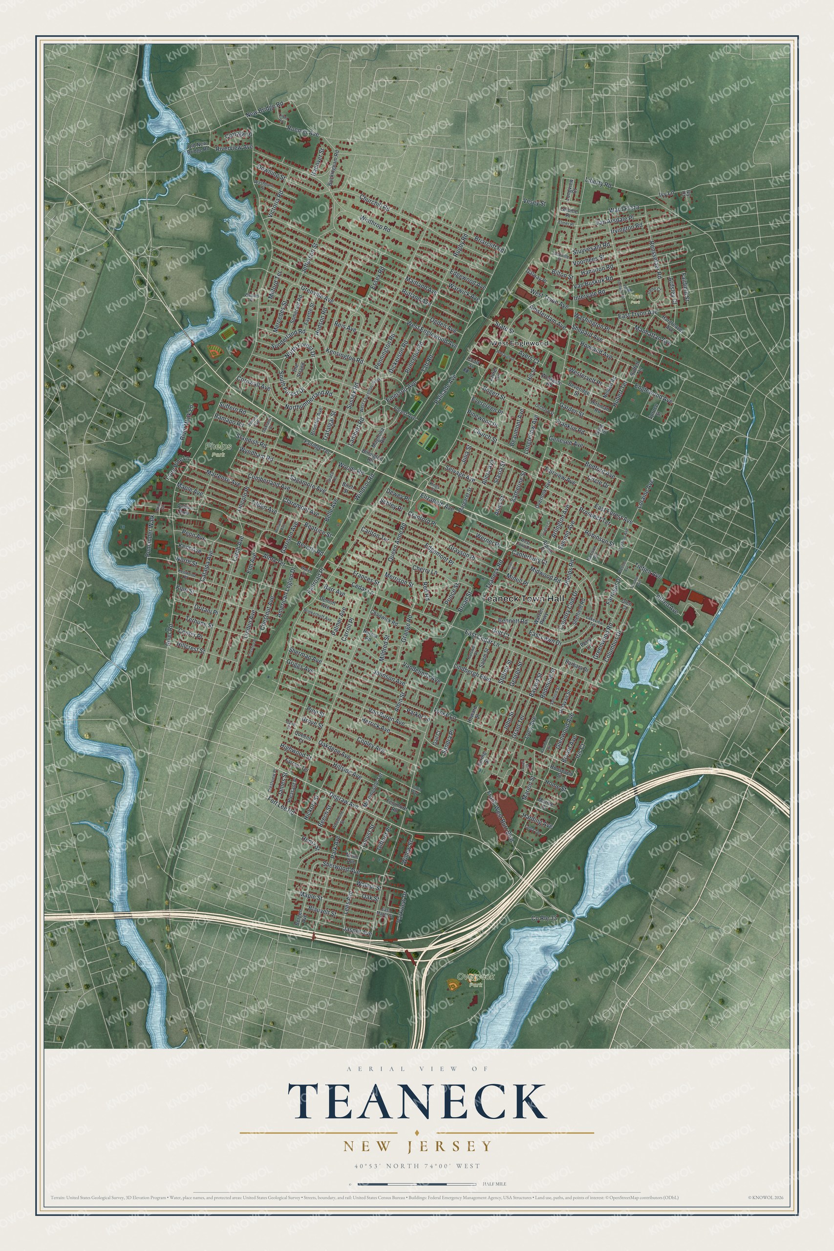
A new map of Teaneck, New Jersey, made in 2026 and printed to order on thick archival matte paper.
12" x 18" Archival Matte Print
A Map of Home. A Work of Art.
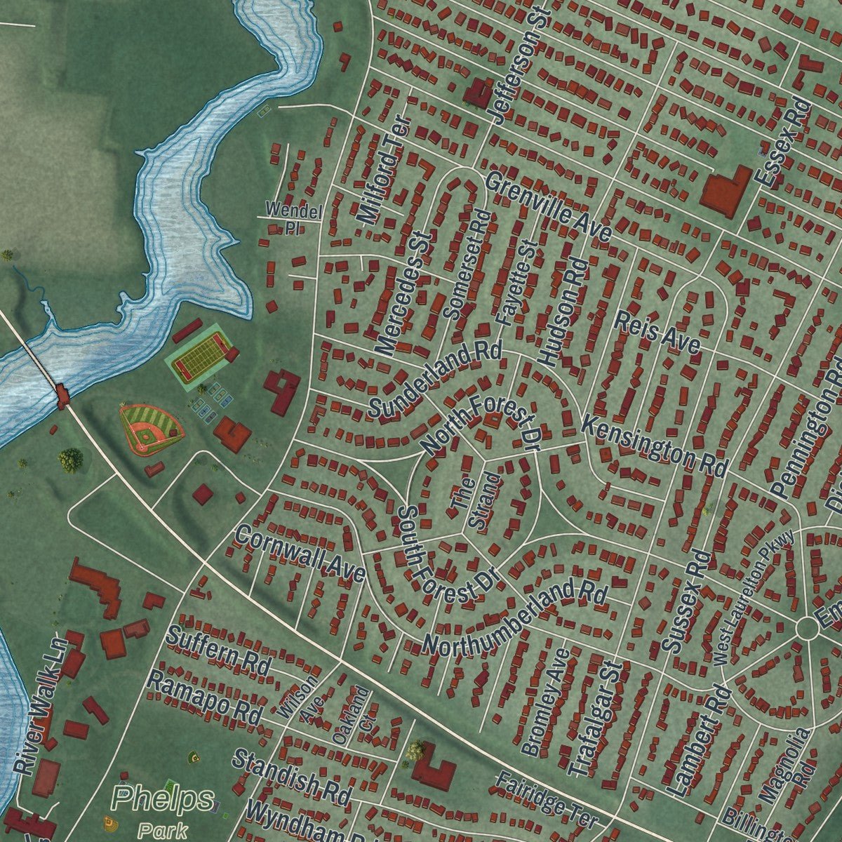
Explore Teaneck, New Jersey from a whole new perspective. Created using aerial imagery and detailed geographic data, this map captures Teaneck building by building, with labeled streets, familiar landmarks, and shaded topographical relief that highlights the natural contours of the landscape.
Combining modern data with the timeless character of a vintage atlas, this map is just as interesting up close as it is beautiful on the wall. Whether you grew up in Teaneck, spent memorable years there, or call it home today, this unique map is a great way to celebrate a place that means something to you. Zoom in on the preview to look for your street, and then order a print to put your memories on the wall.
Three ways to hang it
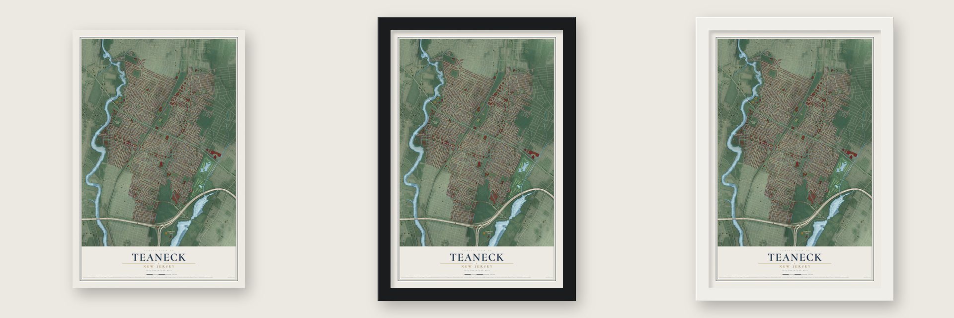
Unframed archival matte, a black wood frame or a white wood frame.
Up close
Geography Worth Displaying
This map was created using accurate cartographic data and authoritative geographic sources, including the U.S. Geological Survey (USGS) and FEMA. The map brings together terrain, waterways, roads, and building detail. The majority of the streets are labeled, houses are accurately depicted, and the topography is derived from government sources. Combining local data with carefully composed color and shading leads to this beautifully detailed Teaneck artwork for your wall.
Rather than simply showing street outlines, we’ve included as many of the street names as we could reasonably fit on the map while keeping their names legible. Zoom in on the high resolution preview to see exactly what’s on the map. We truly set out to create a statement piece for anyone who loves Teaneck. So whether it’s for you, or a gift for someone you love, we hope this map of Teaneck brings back fond memories.
Explore the full map of Teaneck, New Jersey and read about the local places it shows.

About Teaneck, New Jersey
Teaneck is a New Jersey community. The 2020 census counted 41,246 residents.
- 41,246 residentsThat was the community population recorded by the 2020 United States census.
- A local distinctionThe township is bisected into north and south portions by Route 4 and east and west by the River Subdivision of CSX Transportation.
Find your street
Names on the Teaneck map
Every name below is printed on this map. Look for your street, your school, the park where you played, or the pond down the road.
Places and landmarks5
- Teaneck Town Hall
- Overpeck Park
- Phelps Park
- Tryon Park
- West Englewood
Streets and roads303
- Degraw Avenue
- North Forest Drive
- South Forest Drive
- Railroad Place
- Teaneck Road
- Queen Anne Road
- Palisade Avenue
- River Road
- Windsor Road
- Cedar Lane
- West Englewood Avenue
- Winthrop Road
- Sussex Road
- Maitland Avenue
- Frank West Burr Boulevard
- Rutland Avenue
- Ogden Avenue
- Churchill Road
- Glenwood Avenue
- New Bridge Road
- East Lawn Drive
- Vandelinda Avenue
- Van Buren Avenue
- Warwick Avenue
- Beverly Road
- Johnson Avenue
- Fort Lee Road
- Elm Avenue
- East Cedar Lane
- Catalpa Avenue
Show all 303 streets
- Fycke Lane
- Herrick Avenue
- Grayson Place
- Palmer Avenue
- County Route 33
- Edgemont Place
- Belle Avenue
- Trafalgar Street
- Sagamore Avenue
- Merrison Street
- Lindbergh Boulevard
- Larch Avenue
- Griggs Avenue
- John Street
- Stuyvesant Road
- Sherman Avenue
- Northumberland Road
- Voorhees Street
- Linden Avenue
- Lincoln Place
- Emerson Avenue
- Arlington Avenue
- Sunderland Road
- Grenville Avenue
- State Street
- Liberty Road
- Washington Place
- Shepard Avenue
- Englewood Avenue
- East Tryon Avenue
- Alicia Avenue
- Intervale Road
- Garrison Avenue
- North Street
- Van Buskirk Road
- Hamilton Road
- East Forest Avenue
- Cherry Lane
- Mildred Street
- Kensington Road
- Rensselaer Road
- Kipp Street
- Cumberland Avenue
- Park Avenue
- Alfred Avenue
- Irvington Road
- Hillside Avenue
- Rugby Road
- Cranford Place
- Oakdene Avenue
- Robinson Street
- Tilden Avenue
- Copley Avenue
- Maple Avenue
- Martense Avenue
- Prince Street
- Country Club Drive
- Terhune Street
- Grange Road
- Wyndham Road
- Elizabeth Avenue
- Selvage Avenue
- Roemer Avenue
- Standish Road
- Hudson Road
- Chestnut Avenue
- Red Road
- Lees Avenue
- Church Street
- Walnut Street
- Oak Street
- Jefferson Street
- Columbus Drive
- Maple Street
- Bedford Avenue
- Grant Terrace
- Downing Street
- Bogert Street
- Circle Drive
- Pomander Walk
- Fairview Avenue
- Golf Court
- Ward Plaza
- Howland Avenue
- Sherwood Avenue
- Edgewood Avenue
- Bennett Road
- Phelps Road
- Beech Street
- Ardsley Court
- Briarcliff Road
- Lucy Avenue
- Carlton Terrace
- Hillcrest Street
- Jasper Avenue
- Blauvelt Street
- Amsterdam Avenue
- Albin Street
- Van Arsdale Place
- Ayers Court
- George Street
- Ramapo Road
- Stelton Street
- Penn Avenue
- Garden Street
- West Tryon Avenue
- Prospect Terrace
- Manhattan Avenue
- Beatrice Street
- Greenwood Road
- Kent Avenue
- Minell Place
- Julia Street
- Genesee Avenue
- River Walk Lane
- Reis Avenue
- American Legion Drive
- Dickerson Road
- Princeton Road
- Hickory Street
- Summit Avenue
- Pennington Road
- Victoria Road
- Mercedes Street
- Stasia Street
- Ivy Lane
- Anna Street
- Essex Road
- Marion Street
- Franklin Road
- Westervelt Place
- Claremont Avenue
- Loraine Avenue
- Lone Pine Lane
- Farragut Drive
- Frances Street
- Home Street
- Taft Road
- Oritani Place
- Riverview Avenue
- Willow Street
- Carroll Place
- Katherine Street
- Canterbury Court
- Broad Street
- Beaumont Avenue
- Alma Terrace
- Werner Place
- Center Place
- Longfellow Avenue
- Midwood Road
- Pine Street
- Suffern Road
- Parkview Drive
- Iris Court
- Milford Terrace
- Barr Avenue
- Pinewood Place
- Tietjen Avenue
- Evergreen Place
- Cornwall Avenue
- Hubert Terrace
- Woods Road
- Bayard Street
- Redmond Street
- Harding Avenue
- Highwood Street
- Fairfield Street
- Locust Street
- Gifford Place
- Bilton Street
- Bryant Avenue
- James Street
- Lambert Road
- Schley Place
- Cottage Place
- Hanover Street
- Sandra Place
- Parker Lane
- Dewey Place
- Grove Street
- Vesey Street
- Henry Street
- Old New Bridge Road
- Forest Avenue
- Chadwick Road
- Alpine Drive
- Warren Parkway
- Morningside Terrace
- Sheffield Road
- Munn Avenue
- Howard Street
- Margaret Street
- Overlook Avenue
- Buckingham Road
- Perry Lane
- Salem Street
- Bergen Avenue
- Demott Avenue
- Somerset Road
- Galway Place
- Billington Road
- Barbara Drive
- Roosevelt Street
- Norma Road
- Hargreaves Avenue
- Fayette Street
- Public Row
- Farrant Terrace
- Glen Court
- Pleasant Place
- Westgate Road
- Court Street
- Beveridge Street
- Bromley Avenue
- Fairidge Terrace
- Magnolia Road
- Buffett Terrace
- Delavan Street
- Fenimore Road
- Queens Court
- Hirliman Road
- Spruce Street
- Nelden Road
- Longview Court
- Hill Street
- Marine Court
- Lerome Place
- Birch Street
- Spring Street
- The Strand
- Laurel Terrace
- Gail Court
- Byng Street
- Ivy Court
- Crestview Place
- Wilson Avenue
- Woodbine Street
- West Laurelton Parkway
- Wendel Place
- Hartwell Street
- Madison Avenue
- Kenwood Place
- Washburn Street
- Lakeview Terrace
- Lorraine Avenue
- Brinkerhoff Avenue
- Grace Terrace
- West Lawn Drive
- Water Street
- Irene Court
- East Maple Street
- Sackville Street
- Fabry Terrace
- Orchard Street
- Sanford Street
- Elmer Place
- Oakland Court
- Union Circle
- Kings Court
- Cane Street
- Van Cortland Terrace
- Walraven Drive
- Quigley Court
- Lilbet Road
- Chestnut Place
- Decatur Avenue
- Williams Avenue
- Hawthorne Avenue
- Webster Avenue
- Allan Court
- Lowell Court
- Puffin Way
Names are listed as they appear on the printed map. Zoom into the product photos to find them.
The art of mapping a place
How This Map Was Made
Real places. Remarkable detail. Discover the layers that turn geographic data into a map of home.

The view from above
Aerial imagery reveals the character of the land: woodland, open fields, and the patterns of a place.

The shape of the land
Elevation data brings hills, valleys, and subtle changes in the landscape into view.

The details of home
Roads, waterways, and building footprints come together to make the map feel unmistakably local.

Geography becomes art
Considered color, shading, and typography bring the layers together in a map made for your wall.


Process illustrated with Mendon, Massachusetts. Aerial imagery: USDA NAIP. Terrain: USGS 3D Elevation Program. Map details and finished artwork: KNOWOL.
The Details
About This Print
Choose an archival matte print, or a black or white Ayous wood frame. The archival matte print is unframed.
Select your size and finish above to see the matching product image and price.
Materials & Craftsmanship
A contemporary map with the character of a classic atlas, printed on archival matte paper. Optional frames are made from Ayous wood.
Your printed map does not include the watermark shown in the full-map preview.
Shipping & Delivery
Free shipping within the United States. Every print is made to order in the USA.
Buying a gift? Add a note in your cart and we'll include it. We never put prices in the package.
Prints ship within 2 to 3 business days. Allow 7 to 10 days total from ordering for delivery. Timing may vary during holidays or periods of high order volume.
Read our shipping policy.
Returns and damaged prints
Each print is made to order. Change-of-mind refunds are not available after production.
If your print arrives damaged, misprinted or incorrect, contact support@knowol.com within 30 days of receiving it. Include your order number, photos and a description of the issue.
Read our full refund and replacement policy. For questions about your order, email support@knowol.com.
Find your town
Looking for another city?
Find a map of home in our New Jersey collection, or any town in the country.
Nearby
Maps of towns near Teaneck
Know someone from one of these towns? Their map makes a great gift.
 Bogota
, New Jersey
From $39.99See the map
 Hackensack
, New Jersey
From $39.99See the map
 Englewood
, New Jersey
From $39.99See the map
More maps nearby: Leonia, Bergenfield, Ridgefield Park, South Hackensack and Maywood.