


Search for another town



Free U.S. delivery 7 to 10 days after you order
Thetford, Vermont Map Art
Building by building, with labeled streets and shaded relief.
12" x 18" Archival Matte Print
A Map of Home. A Work of Art.
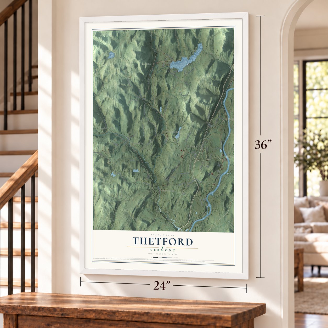
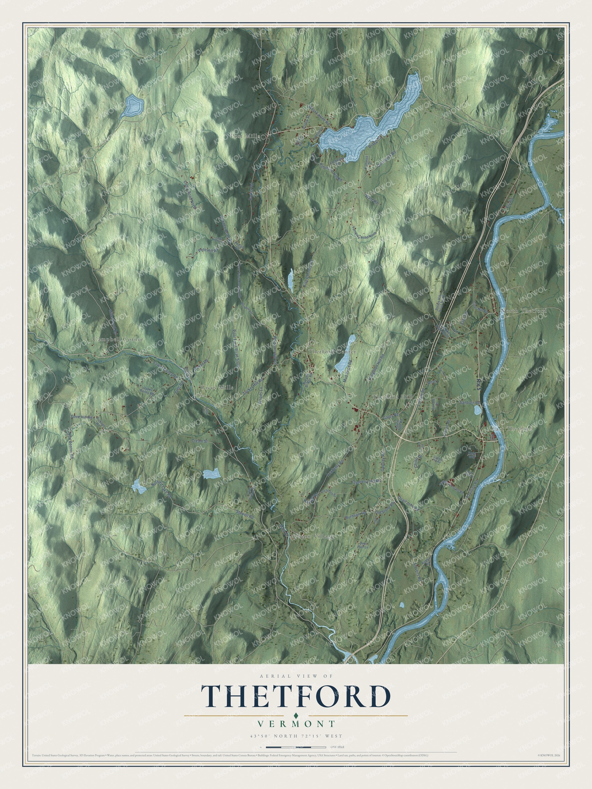
Explore Thetford, Vermont from a whole new perspective. Created using aerial imagery and detailed geographic data, this map captures Thetford building by building, with labeled streets, familiar landmarks, and shaded topographical relief that highlights the natural contours of the landscape.
Combining modern data with the timeless character of a vintage atlas, this map is just as interesting up close as it is beautiful on the wall. Whether you grew up in Thetford, spent memorable years there, or call it home today, this unique map is a great way to celebrate a place that means something to you. Zoom in on the preview to look for your street, and then order a print to put your memories on the wall.
Three ways to hang it
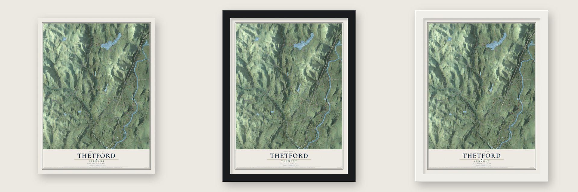
Unframed archival matte, a black wood frame or a white wood frame.
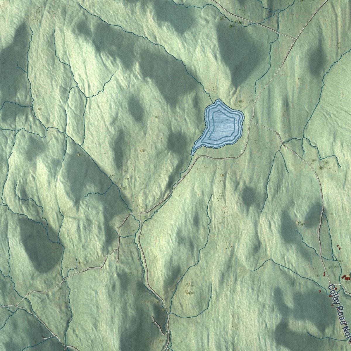
Up close
Geography Worth Displaying
This map was created using accurate cartographic data and authoritative geographic sources, including the U.S. Geological Survey (USGS) and FEMA. The map brings together terrain, waterways, roads, and building detail. The majority of the streets are labeled, houses are accurately depicted, and the topography is derived from government sources. Combining local data with carefully composed color and shading leads to this beautifully detailed Thetford artwork for your wall.
Rather than simply showing street outlines, we’ve included as many of the street names as we could reasonably fit on the map while keeping their names legible. Zoom in on the high resolution preview to see exactly what’s on the map. We truly set out to create a statement piece for anyone who loves Thetford. So whether it’s for you, or a gift for someone you love, we hope this map of Thetford brings back fond memories.
Explore the full map of Thetford, Vermont and read about the local places it shows.

Find your street
Names on the Thetford map
Every name below is printed on this map. Look for your street, your school, the park where you played, or the pond down the road.
Places and landmarks8
- East Thetford
- Post Mills
- North Thetford
- Campbell Corner
- Union Village
- Thetford Center
- Thetford Hill
- Rices Mills
Streets and roads78
- Route 5
- Stowell Road
- Norford Lake Road
- Hauger Road
- Robinson Hill Road
- Main Street
- Sawnee Bean Road
- Academy Road
- Godfrey Road
- Gove Hill Road
- Latham Road
- Five Corners Road
- Houghton Hill Road
- Tucker Hill Road
- Barker Road
- Stevens Road
- Poor Farm Road South
- Mud Pond Road
- Quail John Road
- New Boston Road
- Clay Road
- Quinibeck Road
- Burnham Road
- Sanborn Road
- Whippoorwill Road
- Pavillion Road
- Cream Street
- Miller Pond Road
- Garey Road
- Pero Hill Road
Show all 78 streets
- Bragg Road
- Ulman Road
- Lower Bailey Road
- West Fairlee Road
- Ely Road
- Woods Lane
- Cranberry Hill Road
- Colby Road North
- Old Stone Road
- Cross Street
- Ware Road
- Tefft Road
- Chiott Drive
- Alton
- Potato Hill Road South
- Turnpike Road North
- Cadwell Road
- Poor Farm Road North
- Vaughan Farms Road
- Turnpike Road South
- Kummell Drive
- Rabbit Road
- Cider Mill Road
- Upper Bailey Road
- Buzzell Bridge Road
- Lochearn Road
- Lower Cream Street
- Lakeshore Road
- Apple Tree Road
- Picknell Road
- Phelps Road
- Deer Run Lane
- Hanger Bay Lane
- Conant Lane
- Koda Way
- Old Strong Road
- Jackson Brook Road
- Whippoorwill
- Rock Pine Drive
- Cobble Hill Road
- Park Lane
- Patsy Lane
- Asa Burton Road
- Colby Road South
- Norway Lane
- Snowflake Lane
- Appian Way
- Wilson Road
Names are listed as they appear on the printed map. Zoom into the product photos to find them.
About Thetford, Vermont
Thetford is a town of 2,775 people in Orange County, with the Connecticut River along its eastern edge. Benning Wentworth, the royal governor of New Hampshire, granted its charter on August 12, 1761. The name honored the Duke of Grafton, Augustus Henry Fitzroy, whose titles included Viscount Thetford, and he went on to become Britain's prime minister in 1768. John Chamberlin arrived as the first settler in 1764 and made his home at East Thetford by the river.
Chamberlin acted for one of the town's 62 proprietors, and 51 of them came from Hebron, Connecticut. Thetford organized its government on May 10, 1768, and sent its first representative to the legislature in 1778. Between 1785 and 1788 the town built its meetinghouse on Thetford Hill, and a village grew up around it. Thetford Academy opened on the hill in 1819, which made the village grow faster, and it is now the oldest secondary school in Vermont.
- Camp Fire Girls, 1910In 1910 Thetford was getting ready to mark its 150th anniversary, and the boys of the town were rehearsing for the celebration. The girls watched them and decided to form a group of their own. That group was the start of the Camp Fire Girls, and within two years it had grown into a national organization.
- Mills and covered bridgesThe Ompompanoosuc River runs south through Thetford. In 1772 a sawmill and a gristmill on its banks started Thetford Center, which later made textiles and strawboard. Just west of that village, Tucker Hill Road crosses the river on the Thetford Center Covered Bridge, the only Haupt patent truss known in Vermont. Downstream stands the Union Village Covered Bridge of 1867, the longest 19th-century multiple kingpost truss bridge in the state.
- George Peabody's giftAs a teenager, the philanthropist George Peabody spent time in Thetford with his grandfather. In 1867 he paid for the Peabody Library, which still lends books today and is the oldest active library in Vermont's federation of public libraries.
- Fishing rods from Post MillsPost Mills was home to the T. H. Chubb Rod Factory, which grew into the biggest maker of fishing rods in the country during the late 1800s and early 1900s. The old factory came down in 2010. The village's Post Mills Church dates from 1818, was remodeled in 1855, and is known for the rare stencilwork painted inside it in the late 1800s.
- A writer's farm since 1963In 1963 Noel Perrin, the essayist, purchased a farm in Thetford Center. He made it his home and turned his life there into six books, among them First Person Rural.
Keep exploring Vermont
Thetford is one of 333 Vermont towns we've mapped. Every dot on the map is a print of its own.
The search covers every state, Vermont first.
Near Thetford
Order 2 or more town maps and save 10%. Shown in the size and finish you picked above, so they hang as a set.
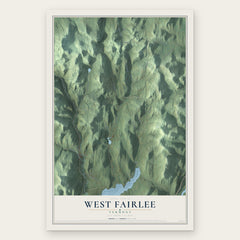
- West Fairlee 12" x 18" / Archival Matte Print $39.99
- Strafford 12" x 18" / Archival Matte Print $39.99
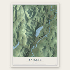
- Fairlee 12" x 18" / Archival Matte Print $39.99

More maps nearby: Norwich, Vershire, Sharon, Dothan and Wilder.
The art of mapping a place
How This Map Was Made
Real places. Remarkable detail. Discover the layers that turn geographic data into a map of home.

The view from above
Aerial imagery reveals the character of the land: woodland, open fields, and the patterns of a place.

The shape of the land
Elevation data brings hills, valleys, and subtle changes in the landscape into view.

The details of home
Roads, waterways, and building footprints come together to make the map feel unmistakably local.

Geography becomes art
Considered color, shading, and typography bring the layers together in a map made for your wall.


Process illustrated with Mendon, Massachusetts. Aerial imagery: USDA NAIP. Terrain: USGS 3D Elevation Program. Map details and finished artwork: KNOWOL.
The Details
About This Print
Choose an archival matte print, or a black or white Ayous wood frame. The archival matte print is unframed.
Select your size and finish above to see the matching product image and price.
Materials & Craftsmanship
A contemporary map with the character of a classic atlas, printed on archival matte paper. Optional frames are made from Ayous wood.
Your printed map does not include the watermark shown in the full-map preview.
Shipping & Delivery
Free shipping within the United States. Every print is made to order in the USA.
Buying a gift? Add a note in your cart and we'll include it. We never put prices in the package.
Prints ship within 2 to 3 business days. Allow 7 to 10 days total from ordering for delivery. Timing may vary during holidays or periods of high order volume.
Read our shipping policy.
Returns and damaged prints
Each print is made to order. Change-of-mind refunds are not available after production.
If your print arrives damaged, misprinted or incorrect, contact support@knowol.com within 30 days of receiving it. Include your order number, photos and a description of the issue.
Read our full refund and replacement policy. For questions about your order, email support@knowol.com.