
Search for another town


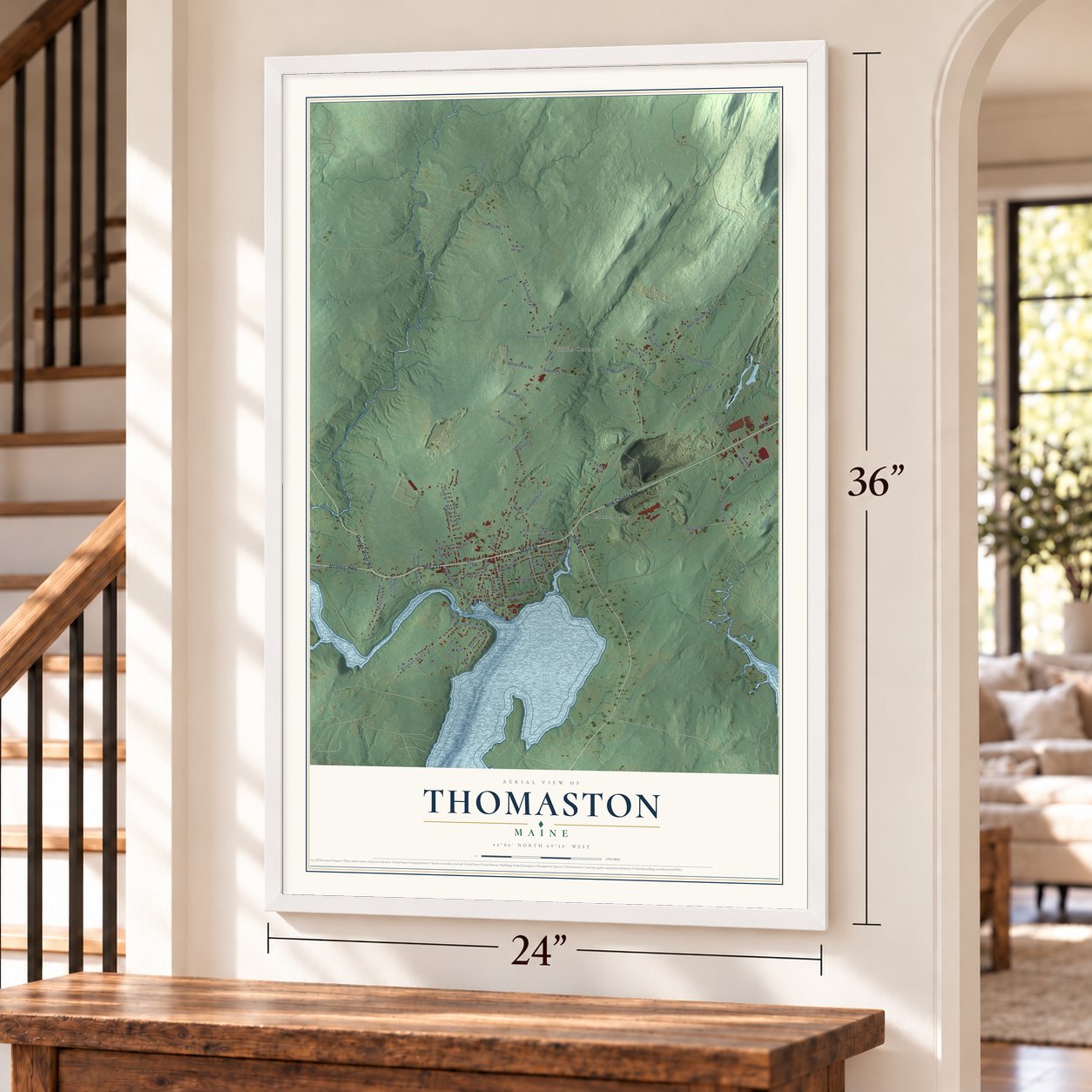

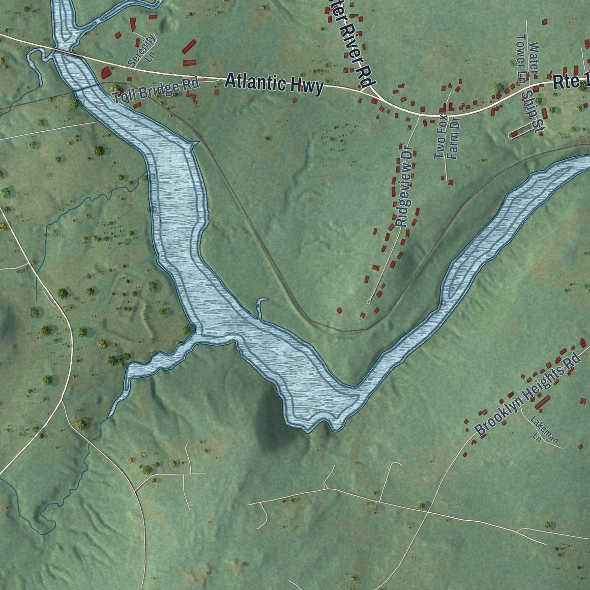
Free U.S. delivery 7 to 10 days after you order
Thomaston, Maine Map Art
Building by building, with labeled streets and shaded relief.
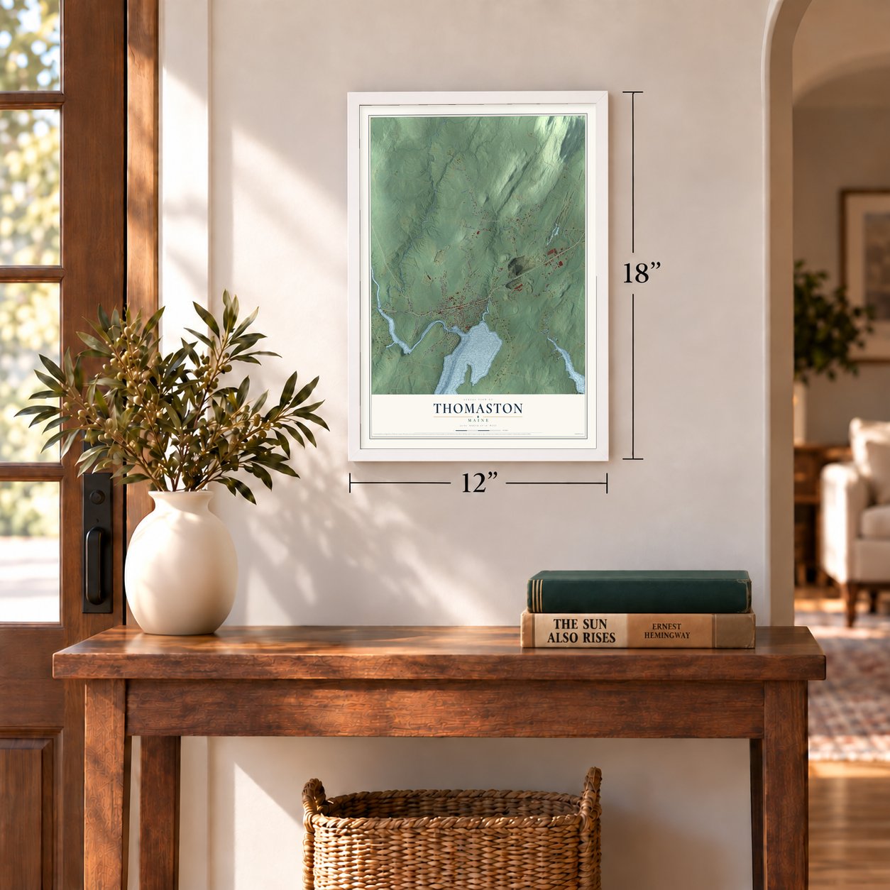
12" x 18" Archival Matte Print
A Map of Home. A Work of Art.
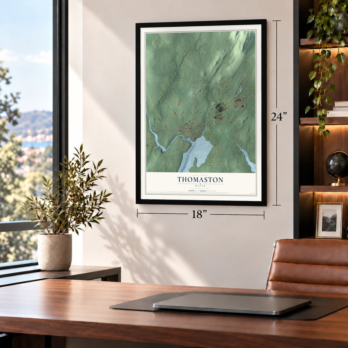
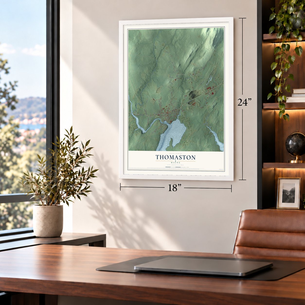
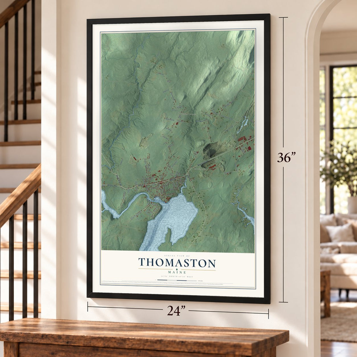
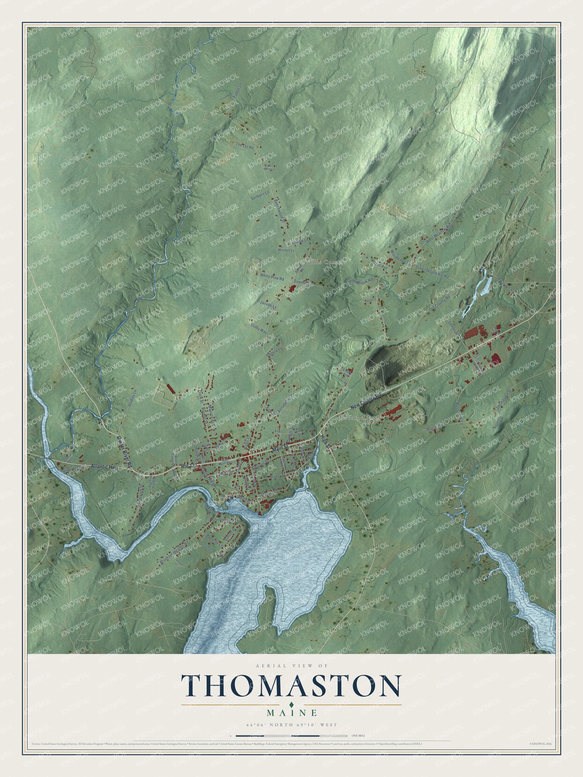
Explore Thomaston, Maine from a whole new perspective. Created using aerial imagery and detailed geographic data, this map captures Thomaston building by building, with labeled streets, familiar landmarks, and shaded topographical relief that highlights the natural contours of the landscape.
Combining modern data with the timeless character of a vintage atlas, this map is just as interesting up close as it is beautiful on the wall. Whether you grew up in Thomaston, spent memorable years there, or call it home today, this unique map is a great way to celebrate a place that means something to you. Zoom in on the preview to look for your street, and then order a print to put your memories on the wall.
Three ways to hang it
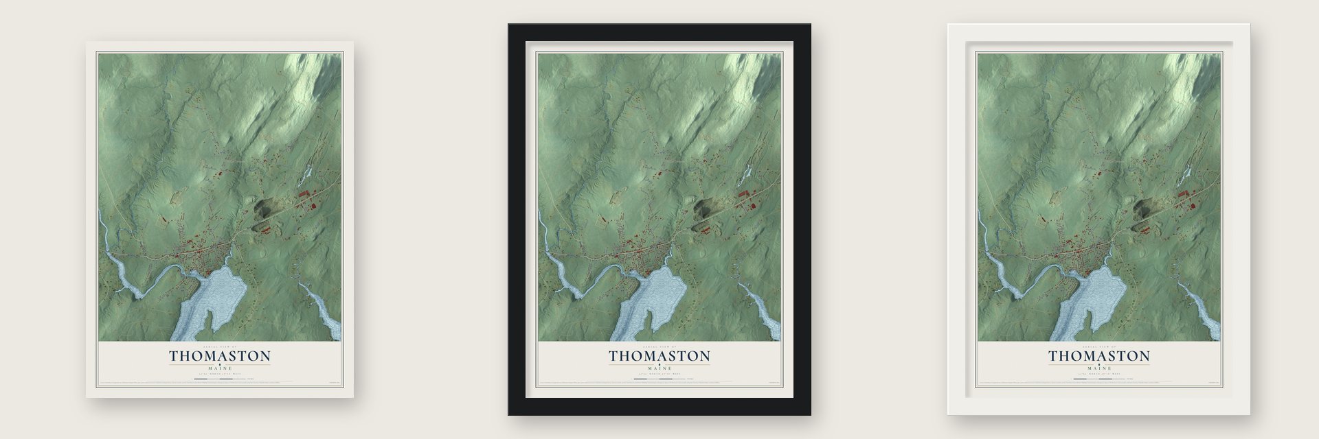
Unframed archival matte, a black wood frame or a white wood frame.
Up close
Geography Worth Displaying
This map was created using accurate cartographic data and authoritative geographic sources, including the U.S. Geological Survey (USGS) and FEMA. The map brings together terrain, waterways, roads, and building detail. The majority of the streets are labeled, houses are accurately depicted, and the topography is derived from government sources. Combining local data with carefully composed color and shading leads to this beautifully detailed Thomaston artwork for your wall.
Rather than simply showing street outlines, we’ve included as many of the street names as we could reasonably fit on the map while keeping their names legible. Zoom in on the high resolution preview to see exactly what’s on the map. We truly set out to create a statement piece for anyone who loves Thomaston. So whether it’s for you, or a gift for someone you love, we hope this map of Thomaston brings back fond memories.
Explore the full map of Thomaston, Maine and read about the local places it shows.
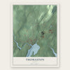
Find your street
Names on the Thomaston map
Every name below is printed on this map. Look for your street, your school, the park where you played, or the pond down the road.
Places and landmarks2
- Montpelier
- Willis Corners
Streets and roads82
- New County Road
- Route 131
- Oyster River Road
- High Street
- Main Street
- Atlantic Highway
- Fish Street
- Brooklyn Heights Road
- Wadsworth Street
- Roxbury Street
- Maurice Avenue
- Beechwood Street
- Old County Road
- West Meadow Road
- Buttermilk Lane
- Studley Lane
- Thomaston Street
- Gleason Street
- Dexter Street
- Knox Street
- Booker Street
- Ridgeview Drive
- Green House Hill Road
- Sunrise Terrace
- Marsh Road
- Erin Street
- Thatcher Street
- Bobolink Lane
- Valley Street
- Hyler Street
Show all 82 streets
- Branch Brook Road
- Pleasant Street
- Fluker Street
- Water Street
- Dwight Street
- Ross Avenue
- Green Street
- The Lot Road
- Talbot Lane
- Clark Street
- White Pine Road
- Sawmill Lane
- Toll Bridge Road
- Annabelle Lane
- Harjula Lane
- Watts Lane
- Woodledge Lane
- Sanborn Lane
- Colby Way
- Dunn Street
- Sunset Street
- Kossuth Street
- Pine Street
- Riverhill Lane
- Willow Lane
- Jacobs Lane
- Ship Street
- Dunbar Road
- Lawrence Avenue
- Rose Lane
- Kermit Lane
- Emery Avenue
- Elm Street
- Two Fox Farm Drive
- Water Tower Lane
- Dexter Street Extension
- Mitchell Lane
- North Street
- Erin Court
- Georges Street
- Main Saint Mall
- Fales Road
- Serenity Lane
- Moody Drive
- Deer Run Lane
- Boblink Lane
- Stambaugh Drive
- Lakeman Lane
- Ice House Road
- Hilltop Lane
- Elltee Circle
- Cross Street
Names are listed as they appear on the printed map. Zoom into the product photos to find them.
About Thomaston, Maine
Thomaston is a town of 2,739 people in Knox County, on the St. George River. A trading post stood on the river's eastern bank as early as 1630, when the river was thought to mark the line between New England and New France. Between 1719 and 1720 the post was rebuilt as Fort St. George, with a stockade and two blockhouses. Abenaki warriors, urged on by the French, attacked it twice in 1722 and besieged it for 30 days in 1723.
Mason Wheaton became the first permanent settler in 1763. The town was set off from St. Georges Plantation and incorporated as a town of its own on March 20, 1777, and it took its name from Major General John Thomas. Many more settlers came after the Revolution ended, and General Henry Knox built his mansion, Montpelier, here in 1793 and 1794.
- Boishébert's last raidTo avenge the fall of Louisbourg, the French officer Boishébert set out from Miramichi, New Brunswick, on August 13, 1758, with 400 soldiers bound for Fort St. George. They arrived on September 9, ran into an ambush and had to pull back. His men went on to raid Friendship, but it was the last expedition he led in Acadia.
- Millionaire sea captainsThomaston grew rich in the early nineteenth century as a port and a shipbuilding center. Around 1840, two of the country's seven recorded millionaires were sea captains from Thomaston. The town also kept gristmills, sawmills, three sail lofts, brickyards, cask makers and a marble works, and its kilns had been burning lime since 1734.
- Schooners on Knox's landLyman Morse Boatbuilding makes custom power and sailing yachts beside the St. George River, on the ground where General Knox's mansion first stood. Builders have been launching wooden schooners from that spot for more than 200 years.
- The old state prisonFormer governor William King sold land here to the state for a prison in 1824. In June 1875 two killers died on its gallows: John True Gordon, called the Thorndike Slayer, and Louis Wagner, the Smuttynose axe murderer. The prison moved to Warren in 2002 and the old buildings came down, but its shop of handmade goods made by prisoners is still open. The prison also served as the model for the one in The Shawshank Redemption.
Keep exploring Maine
Thomaston is one of 536 Maine towns we've mapped. Every dot on the map is a print of its own.
The search covers every state, Maine first.
Near Thomaston
Order 2 or more town maps and save 10%. Shown in the size and finish you picked above, so they hang as a set.
- Rockland 12" x 18" / Archival Matte Print $39.99
- Warren 12" x 18" / Archival Matte Print $39.99
- South Thomaston 12" x 18" / Archival Matte Print $39.99

More maps nearby: Ash Point, Owls Head, Rockport, Cushing and Hope.
The art of mapping a place
How This Map Was Made
Real places. Remarkable detail. Discover the layers that turn geographic data into a map of home.

The view from above
Aerial imagery reveals the character of the land: woodland, open fields, and the patterns of a place.

The shape of the land
Elevation data brings hills, valleys, and subtle changes in the landscape into view.

The details of home
Roads, waterways, and building footprints come together to make the map feel unmistakably local.

Geography becomes art
Considered color, shading, and typography bring the layers together in a map made for your wall.


Process illustrated with Mendon, Massachusetts. Aerial imagery: USDA NAIP. Terrain: USGS 3D Elevation Program. Map details and finished artwork: KNOWOL.
The Details
About This Print
Choose an archival matte print, or a black or white Ayous wood frame. The archival matte print is unframed.
Select your size and finish above to see the matching product image and price.
Materials & Craftsmanship
A contemporary map with the character of a classic atlas, printed on archival matte paper. Optional frames are made from Ayous wood.
Your printed map does not include the watermark shown in the full-map preview.
Shipping & Delivery
Free shipping within the United States. Every print is made to order in the USA.
Buying a gift? Add a note in your cart and we'll include it. We never put prices in the package.
Prints ship within 2 to 3 business days. Allow 7 to 10 days total from ordering for delivery. Timing may vary during holidays or periods of high order volume.
Read our shipping policy.
Returns and damaged prints
Each print is made to order. Change-of-mind refunds are not available after production.
If your print arrives damaged, misprinted or incorrect, contact support@knowol.com within 30 days of receiving it. Include your order number, photos and a description of the issue.
Read our full refund and replacement policy. For questions about your order, email support@knowol.com.