
Search for another town





Free U.S. delivery 7 to 10 days after you order
Tinley Park, Illinois Map Art
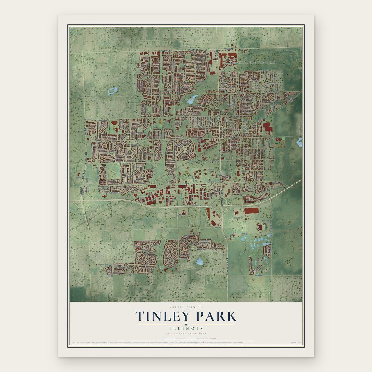
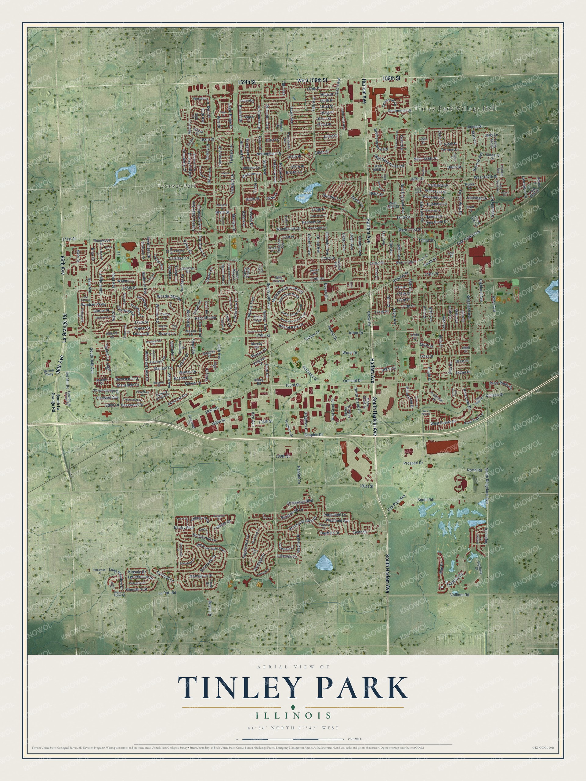
A new map of Tinley Park, Illinois, made in 2026 and printed to order on thick archival matte paper.
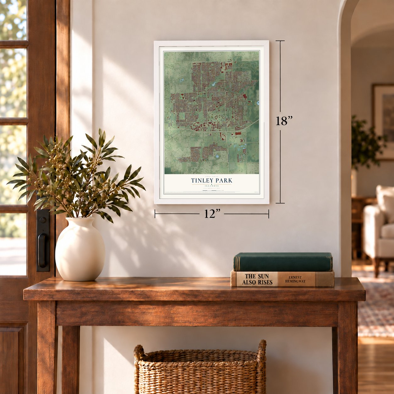
12" x 18" Archival Matte Print
A Map of Home. A Work of Art.
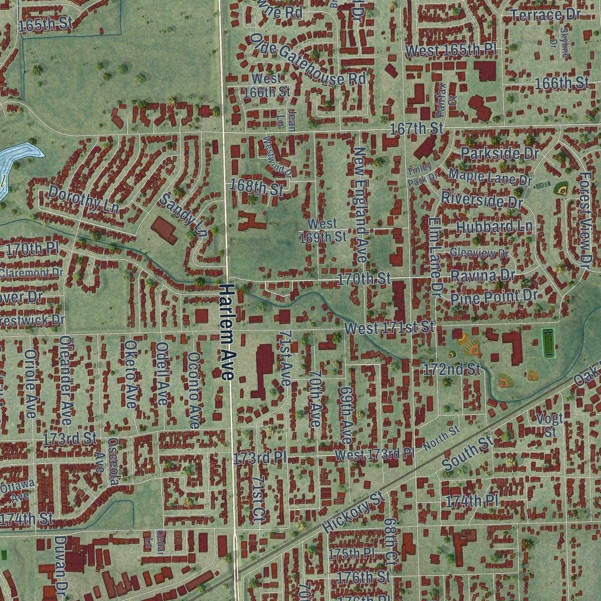
Explore Tinley Park, Illinois from a whole new perspective. Created using aerial imagery and detailed geographic data, this map captures Tinley Park building by building, with labeled streets, familiar landmarks, and shaded topographical relief that highlights the natural contours of the landscape.
Combining modern data with the timeless character of a vintage atlas, this map is just as interesting up close as it is beautiful on the wall. Whether you grew up in Tinley Park, spent memorable years there, or call it home today, this unique map is a great way to celebrate a place that means something to you. Zoom in on the preview to look for your street, and then order a print to put your memories on the wall.
Three ways to hang it
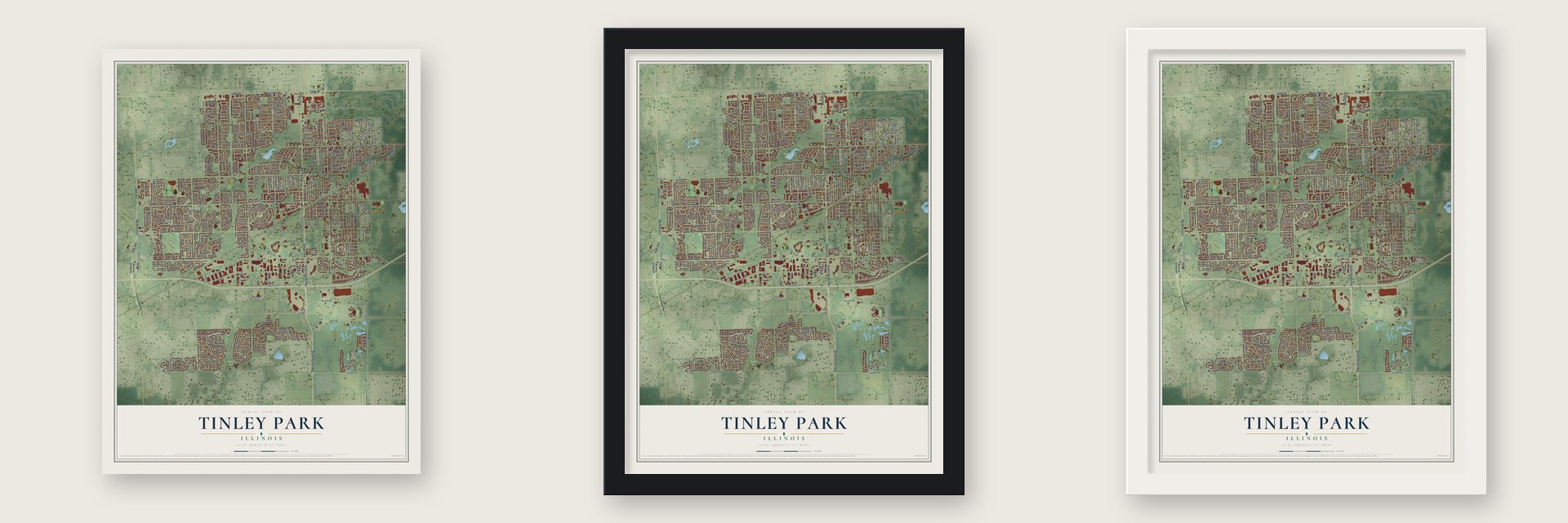
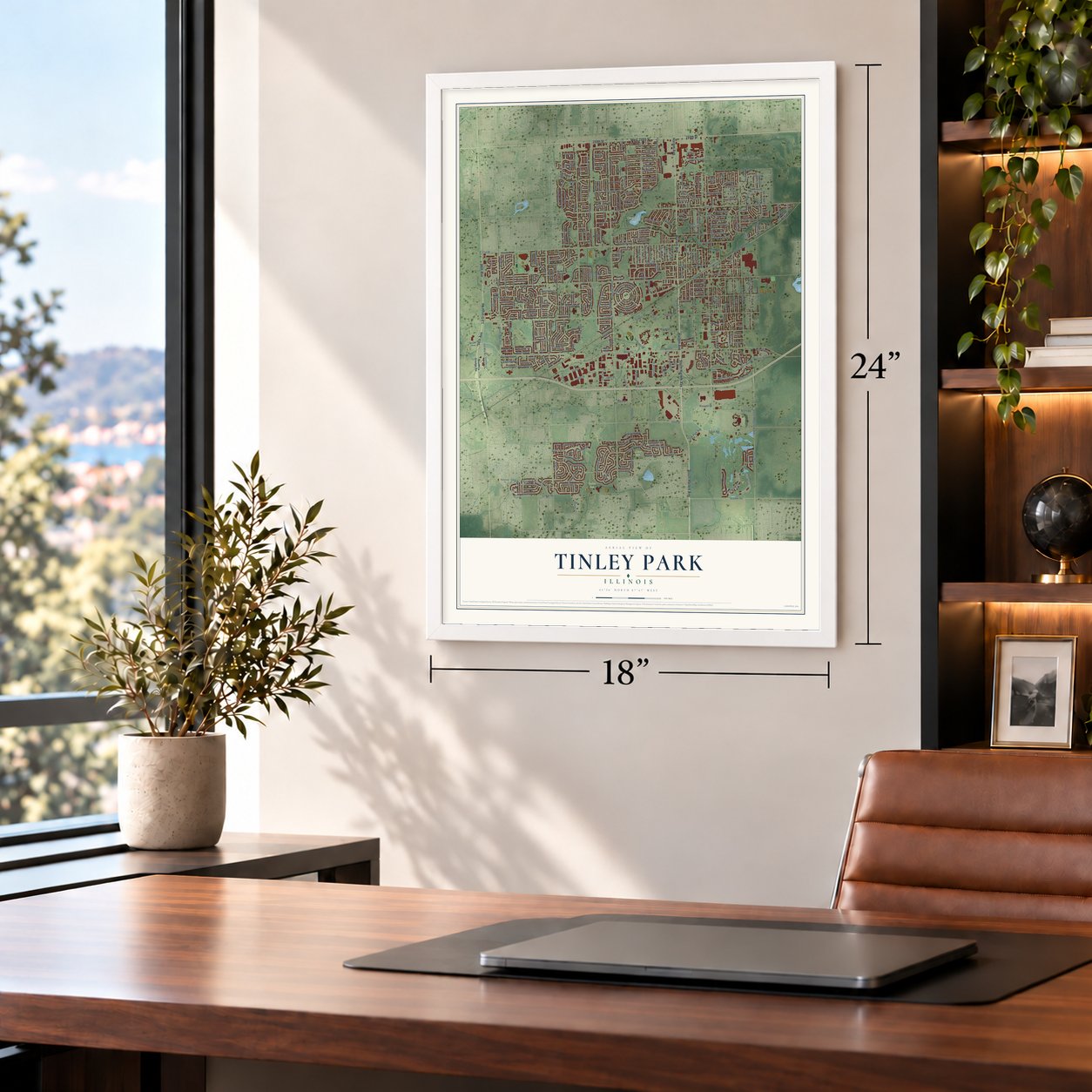
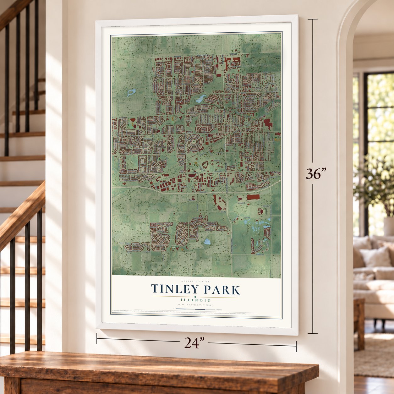
Unframed archival matte, a black wood frame or a white wood frame.
Up close
Geography Worth Displaying
This map was created using accurate cartographic data and authoritative geographic sources, including the U.S. Geological Survey and the Census Bureau. The map brings together terrain, waterways, roads, and building detail. The majority of the streets are labeled, houses are accurately depicted, and the topography is derived from government sources. Combining local data with carefully composed color and shading leads to this beautifully detailed Tinley Park artwork for your wall.
Rather than simply showing street outlines, we’ve included as many of the street names as we could reasonably fit on the map while keeping their names legible. Zoom in on the high resolution preview to see exactly what’s on the map. We truly set out to create a statement piece for anyone who loves Tinley Park. So whether it’s for you, or a gift for someone you love, we hope this map of Tinley Park brings back fond memories.
Read the story behind this map of Tinley Park, Illinois from 2026.

About Tinley Park, Illinois
Tinley Park is a village of 55,971 people in Cook and Will counties, on the southern edge of the Chicago area. Settlers from Europe and the eastern United States began arriving in the 1820s, and by the 1840s German Americans had become a large part of the community. When the village was founded in 1853, it was named Bremen in their honor, though Irish, English, Scottish and Canadian families settled here as well.
Bremen grew up beside the Chicago, Rock Island and Pacific Railroad, and the line shaped nearly everything about the young town. In 1890 the village changed its name to Tinley Park after Samuel Tinley Sr., who had been the first agent at its depot. Two years later, on June 27, 1892, residents voted 34 to 24 to incorporate, and they chose Henry Vogt as the first mayor.
- Washing machines and sodaThe railroad brought business to town. In 1905 the Diamond Spiral Washing Machine Company opened its first factory in Tinley Park, and in 1909 a group of local businessmen started an electric utility. A cola bottling plant ran here until the 1950s.
- Ironite for the Hoover DamIn the same years of early industry, the inventor John Rauhoff created ironite in Tinley Park. The additive kept cement watertight, and builders later used it in the Hoover Dam.
- A concert stage since 1990The amphitheater that opened in 1990 as the World Music Theater, now called Credit Union 1 Amphitheatre, has become one of the Chicago area's major outdoor music venues. It holds around 28,000 people for a show, with a roofed seating area open at the sides and a broad grass lawn sloping up behind it.
- From village to suburbThe Tinley Park Public Library went up in 1956, and in the decades that followed the village spread far to the west and south of its old center. Builders put up more than 11,000 homes and apartments between 1970 and 1994. After the village marked its centennial in 1992, it turned to restoring the downtown inside its original 1892 boundaries and opened a park near the Oak Park Avenue Metra station.
Find your street
Names on the Tinley Park map
Every name below is printed on this map. Look for your street, your school, the park where you played, or the pond down the road.
Places and landmarks6
- Tinley Park Village Hall
- Fernway
- Arbor Park
- Centennial Park
- Union Park
- Fernway Park
Streets and roads388
- South Harlem Avenue
- Harlem Avenue
- 159th Street
- West 159th Street
- 96th Avenue
- La Grange Road
- 183rd Street
- Oak Park Avenue
- Pine Lake Drive
- Ridgeland Avenue
- 170th Street
- Westbridge Road
- Brementowne Road
- 175th Street
- 191st Street
- Nielsen Drive
- Overhill Avenue
- 194th Street
- Meadow Lane
- James Street
- 80th Avenue
- South 80th Avenue
- 171st Street
- 167th Street
- 179th Street
- 84th Avenue
- 88th Avenue
- 174th Street
- Brookside Glen Drive
- 76th Avenue
Show all 388 streets
- 66th Avenue
- South Ridgeland Avenue
- 163rd Street
- South 94th Avenue
- Olcott Avenue
- 66th Court
- West 167th Street
- 94th Avenue
- 173rd Place
- 65th Avenue
- 170th Place
- 185th Street
- Ozark Avenue
- Sayre Avenue
- 173rd Street
- Timber Drive
- 161st Street
- 163rd Place
- 161st Place
- 67th Court
- 177th Street
- Glenshire Street
- Nottingham Drive
- 169th Street
- Greenway Boulevard
- 176th Street
- Odell Avenue
- 178th Street
- Silverside Drive
- Gaynelle Road
- 70th Avenue
- South Road
- Bristol Park Drive
- 165th Place
- Fairfield Lane
- Oak Forest Avenue
- 162nd Place
- Cherry Hill Avenue
- Oketo Avenue
- 71st Avenue
- Vollmer Road
- Paxton Avenue
- Grove Drive
- 64th Court
- Highland Avenue
- Cambridge Place
- Iroquois Trce
- Edgebrook Lane
- 160th Street
- Oconto Avenue
- 172nd Street
- 174th Place
- 164th Place
- 162nd Street
- Duvan Drive
- Beverly Avenue
- Bormet Drive
- 67th Avenue
- Odyssey Drive
- Hickory Street
- 68th Court
- 160th Place
- Forest Drive
- 166th Street
- North Road
- 181st Street
- Richards Drive
- Cloverview Drive
- Oleander Avenue
- 92nd Avenue
- 180th Street
- 71st Court
- Riverside Drive
- Mulberry Avenue
- Heritage Drive
- Veterans Drive
- Marquette Drive North
- Carriage Lane
- Monaghan Drive
- Forest View Drive
- Oriole Avenue
- New England Avenue
- Princeton Avenue
- Iliad Drive
- Centennial Drive
- Bantry Boulevard
- Tanbark Drive
- Westfield Avenue
- Oak Wood Drive
- 82nd Avenue
- West Pointe Drive
- Radcliffe Road
- 168th Street
- Bishop Road
- 159th Place
- Richardson Lane
- North Creek Drive
- 69th Avenue
- 183rd Place
- 65th Court
- 165th Street
- Walnut Lane
- Dorothy Lane
- Alexandria Drive
- Windsor Parkway
- Navajo Trce
- Ridgefield Lane
- Pheasant Lake Drive
- Pine Trail Lane
- Humber Lane
- Hollybrook Lane
- Olde Gatehouse Road
- 182nd Street
- Briar Drive
- 62nd Avenue
- Lilac Lane
- Linden Drive
- Cherry Creek Avenue
- Woburn Road
- Valley Drive
- Woodstock Drive
- Evergreen Drive
- 168th Place
- Lisadell Drive
- Arbor Drive
- Creekside Avenue
- Goesel Drive
- Mansfield Drive
- Ravina Drive
- Elm Lane Drive
- Scheer Drive
- Cranberry Court
- Mayfield Place
- Bayfield Drive
- Pine Drive
- Tudor Lane
- Rita Road
- Basswood Drive
- Sandy Lane
- Eagle Ridge Drive
- Aegina Drive
- Hillcrest Drive
- Sippel Drive
- Long Meadow Drive
- Misty Pines Drive
- 70th Court
- Pine Point Drive
- Lakeside Drive
- Panduit Drive
- Marilyn Drive
- 81st Avenue
- Parkview Avenue
- Newcastle Court
- Letterkenny Drive
- Parkside Drive
- 94th Court
- 84th Place
- Tullamore Drive
- Hanover Drive
- 166th Place
- Mallard Road
- Millennium Drive
- Wood Drive
- Grissom Drive
- 167th Place
- Carlsbad Drive
- Orchard Drive
- Koehler Drive
- Eagle Drive
- Surrey Drive
- Graphic Drive
- Apple Lane
- Kallsen Drive
- Oxford Drive
- Ironwood Drive
- Hubbard Lane
- West 165th Place
- Locust Avenue
- La Port Road
- Terrace Drive
- Castle Drive
- Graphics Court
- Pleasant Avenue
- Lakewood Drive
- 189th Street
- Mark Lane
- Jody Lane
- West 171st Street
- Boyne Drive
- Sutton Place
- Fox Grove Lane
- Kinsale Drive
- Cork Road
- Ethyl Lane
- Bristol Lane
- South Street
- Upland Drive
- Inverness Drive
- Semmler Court
- Poplar Street
- Wyman Drive
- Prosperi Drive
- Kirby Drive
- 85th Avenue
- 78th Avenue
- 186th Street
- Clover Lane
- Avon Lane
- Ash Street
- Tamar Lane
- Brown Lane
- 177th Place
- 182nd Place
- 176th Place
- 181st Place
- Clark Lane
- South La Grange Road
- Old 96th Road
- Orland Parkway
- Lake Villa Avenue
- Shetland Drive
- Olympus Drive
- West Creek Drive
- Parliament Avenue
- West 166th Street
- Semmler Drive
- Kimberly Drive
- Southfield Lane
- Meadows Edge Trail
- Pheasant Drive
- 171st Place
- Murphy Circle
- Flamingo Drive
- Blossom Lane
- Valley View Drive
- Joliet Drive North
- Harper Road
- Black Oak Avenue
- Joliet Drive South
- Graphics Drive
- Prairie Drive
- Maple Creek Drive
- Timbers Pointe Drive
- Centennial Circle
- 183rd Frontage Road
- Deland Court
- Raintree Road
- Dooneen Avenue
- West 169th Street
- Spring Creek Drive
- Rosewood Lane
- Prestwick Drive
- West 173rd Place
- Maple Lane Drive
- Westberry Lane
- 164th Street
- 175th Place
- Leslie Ann Drive
- Queen Ann Lane
- Justin Court
- Thornwood Drive
- Queen Mary Lane
- Pecan Lane
- Redwood Lane
- Honey Lane
- Patricia Avenue
- Killarney Court
- Durkin Road
- Pondview Drive
- Hillcrest Lane
- Blarney Road
- Tulip Lane
- Piute Trail
- Crossings Drive
- Dunn Road
- Mason Lane
- Everdon Drive
- Elmwood Drive
- Lake Bluff Drive
- Brandau Court
- Steven Place
- Clifton Lane
- Edgar Place
- Almond Lane
- 163rd Court
- Gentry Lane
- Abbey Road
- Forest Glen Drive
- Osceola Avenue
- Clare Drive
- 87th Court
- Belle Rive Court
- 85th Court
- 180th Place
- Scott Court
- 179th Place
- Vogt Street
- Marquette Drive South
- West La Porte Road
- Bethany Lane
- Heather Lane
- Brookfield Circle
- Bayberry Lane
- Glenbrook Lane
- Peachtree Drive
- Glenview Drive
- Redcastle Drive
- Timberwood Lane
- Pine Ridge Drive
- Zurich Lane
- Dunmore Drive
- Bangor Drive
- Newfield Lane
- Teakwood Drive
- Currant Avenue
- Meadowlark Drive
- Corinth Drive
- Claremont Drive
- Anne Marie Avenue
- Parkwood Lane
- Brookridge Drive
- Ottawa Avenue
- South Old la Grange Road
- Bedford Lane
- 172nd Place
- North Street
- Jean Lane
- Cobbler Court
- Fairfax Court
- Bluebird Drive
- Mager Drive
- Rayson Lane
- Cove Court
- West Point Drive
- Pine Wood Court
- Stonegate Drive
- Brementowne Drive
- Bally Castle Lane
- Mulroy Circle
- Queen Elizabeth Lane
- Tinley Park Drive
- Apache Trail
- Enclave Lane
- Chestnut Drive
- Westwind Drive
- Spruce Lane
- Shannon Drive
- Cardinal Lane
- Waterford Drive
- Jessica Lane
- Skyline Drive
- Aspen Lane
- Quail Crossing
- Dover Court
- Valley Forge Drive
- Andres Avenue
- Cedar Lane
- Moss Court
Names are listed as they appear on the printed map. Zoom into the product photos to find them.
The art of mapping a place
How This Map Was Made
Real places. Remarkable detail. Discover the layers that turn geographic data into a map of home.

The view from above
Aerial imagery reveals the character of the land: woodland, open fields, and the patterns of a place.

The shape of the land
Elevation data brings hills, valleys, and subtle changes in the landscape into view.

The details of home
Roads, waterways, and building footprints come together to make the map feel unmistakably local.

Geography becomes art
Considered color, shading, and typography bring the layers together in a map made for your wall.


Process illustrated with Mendon, Massachusetts. Aerial imagery: USDA NAIP. Terrain: USGS 3D Elevation Program. Map details and finished artwork: KNOWOL.
The Details
About This Print
Choose an archival matte print, or a black or white Ayous wood frame. The archival matte print is unframed.
Select your size and finish above to see the matching product image and price.
Materials & Craftsmanship
A contemporary map with the character of a classic atlas, printed on archival matte paper. Optional frames are made from Ayous wood.
Your printed map does not include the watermark shown in the full-map preview.
Shipping & Delivery
Free shipping within the United States. Every print is made to order in the USA.
Buying a gift? Add a note in your cart and we'll include it. We never put prices in the package.
Prints ship within 2 to 3 business days. Allow 7 to 10 days total from ordering for delivery. Timing may vary during holidays or periods of high order volume.
Read our shipping policy.
Returns and damaged prints
Each print is made to order. Change-of-mind refunds are not available after production.
If your print arrives damaged, misprinted or incorrect, contact support@knowol.com within 30 days of receiving it. Include your order number, photos and a description of the issue.
Read our full refund and replacement policy. For questions about your order, email support@knowol.com.
Find your town
Looking for another city?
Find a map of home in our Illinois collection, or any town in the country.
Nearby
Maps of towns near Tinley Park
Know someone from one of these towns? Their map makes a great gift.
 Orland Hills
, Illinois
From $39.99See the map
 Arbury Hills
, Illinois
From $39.99See the map
 Frankfort Square
, Illinois
From $39.99See the map
More maps nearby: Oak Forest, Orland Park, Country Club Hills, Mokena and Matteson.