
Search for another town

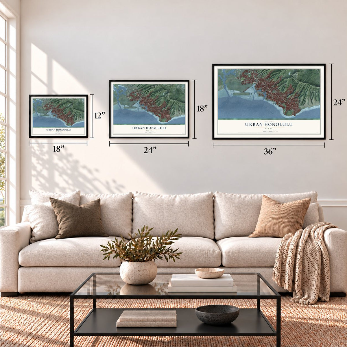

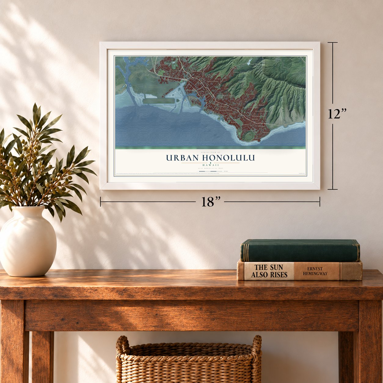

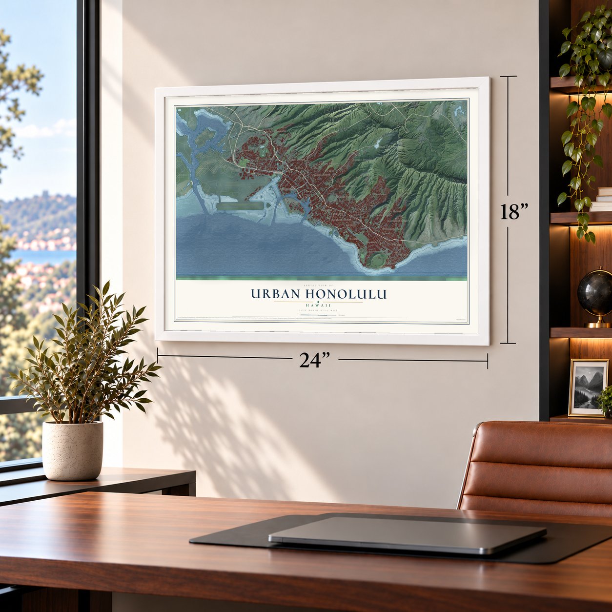

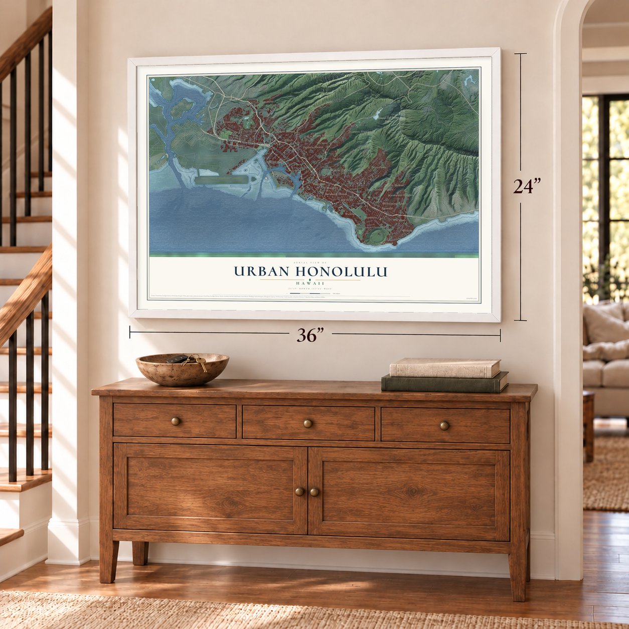

Free U.S. delivery 7 to 10 days after you order
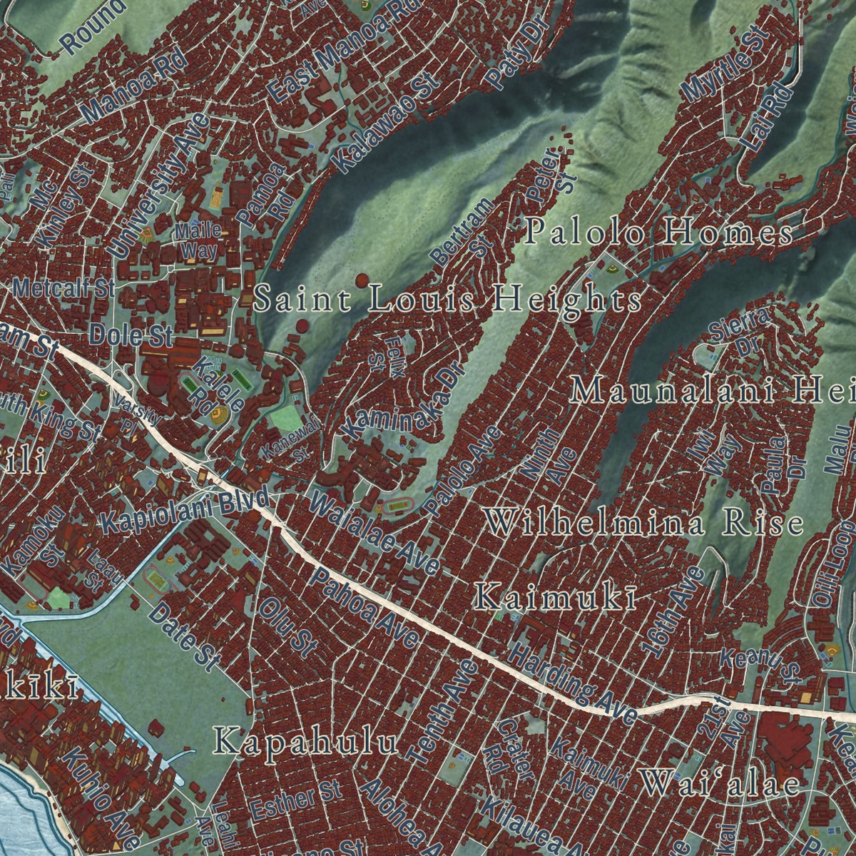
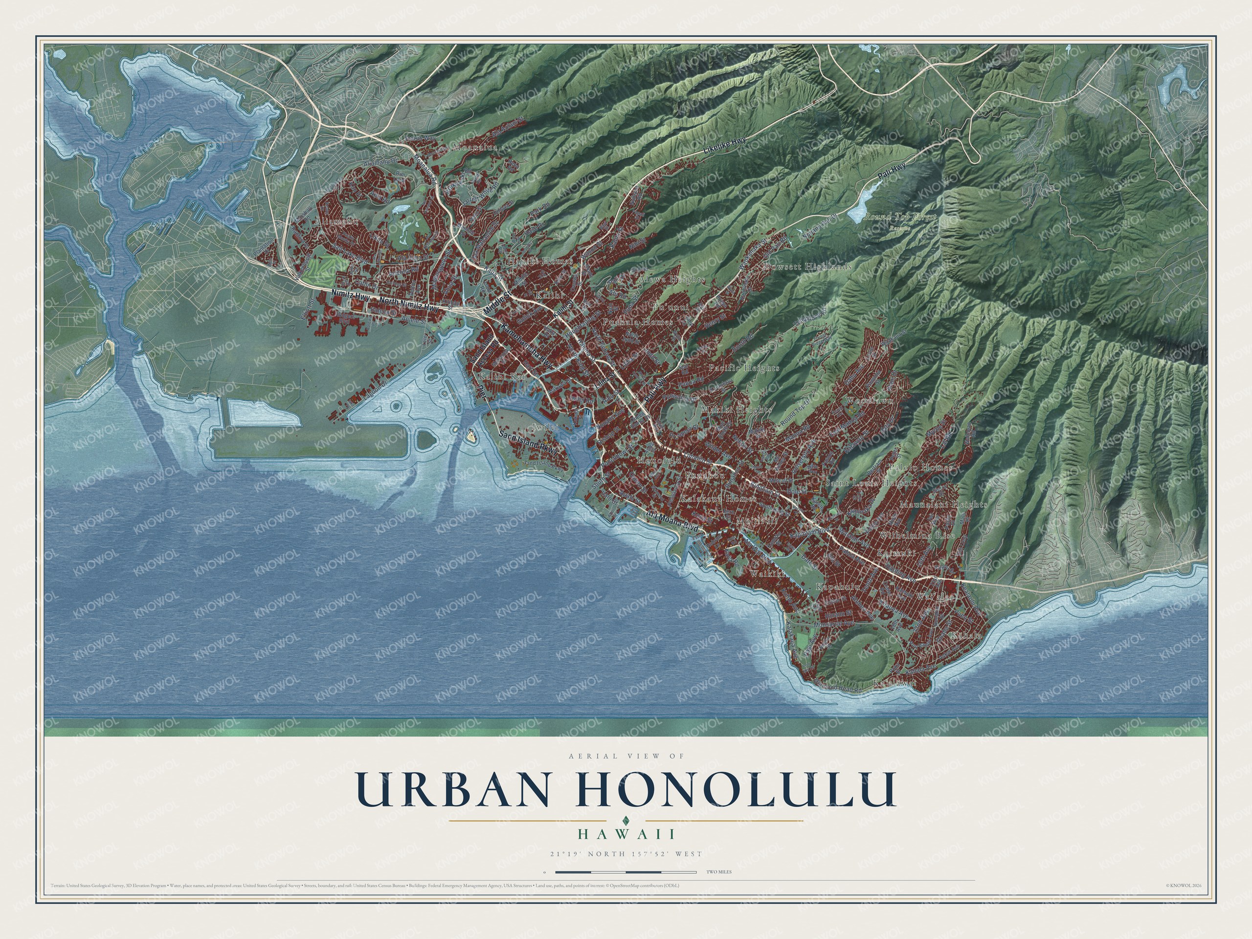
Urban Honolulu, Hawaii Map Art
Building by building, with labeled streets and shaded relief.
12" x 18" Archival Matte Print
A Map of Home. A Work of Art.
Explore Urban Honolulu, Hawaii from a whole new perspective. Created using aerial imagery and detailed geographic data, this map captures Urban Honolulu building by building, with labeled streets, familiar landmarks, and shaded topographical relief that highlights the natural contours of the landscape.
Combining modern data with the timeless character of a vintage atlas, this map is just as interesting up close as it is beautiful on the wall. Whether you grew up in Urban Honolulu, spent memorable years there, or call it home today, this unique map is a great way to celebrate a place that means something to you. Zoom in on the preview to look for your street, and then order a print to put your memories on the wall.
Three ways to hang it
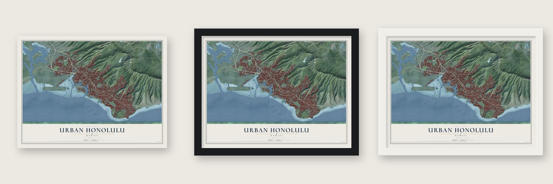
Unframed archival matte, a black wood frame or a white wood frame.
Up close
Geography Worth Displaying
This map was created using accurate cartographic data and authoritative geographic sources, including the U.S. Geological Survey and the Census Bureau. The map brings together terrain, waterways, roads, and building detail. The majority of the streets are labeled, houses are accurately depicted, and the topography is derived from government sources. Combining local data with carefully composed color and shading leads to this beautifully detailed Urban Honolulu artwork for your wall.
Rather than simply showing street outlines, we’ve included as many of the street names as we could reasonably fit on the map while keeping their names legible. Zoom in on the high resolution preview to see exactly what’s on the map. We truly set out to create a statement piece for anyone who loves Urban Honolulu. So whether it’s for you, or a gift for someone you love, we hope this map of Urban Honolulu brings back fond memories.
Read the story behind this map of Urban Honolulu, Hawaii from 2026.

Find your street
Names on the Urban Honolulu map
Every name below is printed on this map. Look for your street, your school, the park where you played, or the pond down the road.
Places and landmarks28
- Round Top Forest Reserve
- Dowsett Highlands
- Hauiki Homes
- Honolulu
- Iwilei
- Kaimukī
- Kalakaua Homes
- Kalihi
- Kalihi Kai
- Kapahulu
- Kaʻalāwai
- Kāhala
Show all 28 places
- Makiki Heights
- Maunalani Heights
- Moanalua
- Mōʻiliʻili
- Pacific Heights
- Palolo Homes
- Puahala Homes
- Punahou
- Puʻunui
- Saint Louis Heights
- Waikīkī
- Waiʻalae
- Wilhelmina Rise
- Woodlawn
- Āliamanu
- ʻĀlewa Heights
Streets and roads219
- North Nimitz Highway
- Nimitz Highway
- Ala Moana Boulevard
- Kamehameha Highway
- Middle Street
- Sand Island Parkway
- Likelike Highway
- Pali Highway
- Pier
- Waialae Avenue
- North School Street
- Aolele Street
- Nuuanu Avenue
- Pauoa Road
- Punchbowl Street
- Jarrett White Road
- Kaua Street
- Moanalua Road
- Ala Aolani Street
- Kealaolu Avenue
- Judd Street
- Round Top Drive
- Kalakaua Avenue
- Kalihi Street
- Kapiolani Boulevard
- Kilauea Avenue
- Likini Street
- Nuuanu Pali Drive
- Aliamanu Drive
- Manoa Road
Show all 219 streets
- Diamond Head Road
- Tenth Avenue
- North King Street
- Salt Lake Boulevard
- Lagoon Drive
- University Avenue
- Harding Avenue
- Pahoa Avenue
- Ala Mahamoe Street
- Oahu Avenue
- Ala Wai Boulevard
- Dole Street
- East Manoa Road
- Wilder Avenue
- Booth Road
- Liliha Street
- Kahala Avenue
- Date Street
- Krukowski Road
- Prospect Street
- Queen Street
- Ala Ilima Street
- Kuhio Avenue
- Lai Road
- Puowaina Drive
- Gulick Avenue
- 16th Avenue
- Ualena Street
- 22nd Avenue
- Lunalilo Street
- Kalawao Street
- Monsarrat Avenue
- Arizona Road
- Alani Drive
- Paki Avenue
- Auahi Street
- Houghtailing Street
- Bingham Street
- Park Road
- Punahou Street
- Kona Street
- South Street
- Nihi Street
- Pueo Street
- Mapunapuna Street
- Nehoa Street
- Ahua Street
- Telephone Road
- Paty Drive
- Hart Street
- Kalia Road
- Kaminaka Drive
- Icarus Way
- Waokanaka Street
- Onaha Street
- Alohea Avenue
- Old Pali Road
- Elliott Street
- Catlin Drive
- Halona Street
- Hase Drive
- Wilson Street
- Iwilei Road
- Puna Street
- Alii Road
- Bishop Street
- Hinano Street
- Ilalo Street
- Pali Drive
- Myrtle Street
- Aala Street
- Henry Street
- Ama Road
- Olu Street
- Kou Place
- Sand Island Access Road
- Queen Emma Street
- North Judd Street
- South King Street
- Sierra Drive
- Kaimuki Avenue
- Ninth Avenue
- Palolo Avenue
- Keanu Street
- Hunakai Street
- Pensacola Street
- Radford Drive
- Rim Loop
- Aukai Avenue
- Waiomao Road
- Makiki Street
- Mott Smith Drive
- Mokauea Street
- Mahiole Street
- 18th Avenue
- Paula Drive
- Peltier Avenue
- Rodgers Boulevard
- Loulu Street
- Onipaa Street
- Loop Road
- Puiwa Road
- Pawaina Street
- Bertram Street
- 21st Avenue
- Kaohinani Drive
- Fern Street
- Metcalf Street
- Iwi Way
- Numana Road
- Peter Street
- Puu Panini Avenue
- Valkenburgh Street
- Haku Street
- Pamoa Road
- Kilihau Street
- Kalele Road
- Marshall Road
- Waakaua Street
- Naio Street
- Noela Street
- Alakawa Street
- Owawa Street
- Hobron Lane
- Plantation Drive
- Esther Street
- Oili Loop
- Kaululaau Street
- Mc Kinley Street
- Jack Lane
- Kamoku Street
- Kino Street
- Malu Place
- Crater Road
- Kukahi Street
- Haka Drive
- Star Road
- Akahi Street
- Reno Road
- Poka Street
- Lele Street
- Ahi Place
- Leahi Avenue
- Hala Drive
- Waimanu Street
- Gordon Street
- Girls Road
- Keaka Drive
- Wyllie Street
- Alapai Street
- Maile Way
- Ahui Street
- Ward Road
- Forest Ridge Way
- Iolani Avenue
- Jaluit Street
- Papali Street
- Puuku Mauka Drive
- Aolewa Place
- Laau Street
- Ena Road
- Kalali Street
- Laola Place
- Felix Street
- Rice Street
- Naai Street
- Pio Place
- Ala Napunani Street
- Ward Avenue
- Bougainville Drive
- North Kuakini Street
- Ala Lilikoi Street
- Aupuni Street
- Piper's Pali
- Moanalualani Place
- Ala Hahanui Street
- Main Street
- Pier 1
- Carter Drive
- Seventh Street
- Kaaipu Avenue
- Kanewai Street
- Varsity Place
- Slade Drive
- Poni Moi Road
- Umi Street
- Wood Street
- Iako Place
- Hiu Street
Names are listed as they appear on the printed map. Zoom into the product photos to find them.
About Urban Honolulu, Hawaii
Urban Honolulu is a community of 350,964 people in Honolulu County, counted in the 2020 census. By 1896 the Hawaiian Annual was pointing its readers to the Kamehameha Schools on the north side of Honolulu, which had been founded for Hawaiians under the will of Bernice Pauahi Bishop.
- Two schools from one willBernice Pauahi Bishop had died by 1896, and her will created the Kamehameha Schools for Hawaiians. They opened as two separate schools, one for boys and one for girls. Her name also stands on the Bernice P. Bishop Museum, which is listed on the National Register.
- 350,964 people in 2020The 2020 census counted 350,964 people in Urban Honolulu, which makes it the population center of Honolulu County.
Keep exploring Hawaii
Urban Honolulu is one of 168 Hawaii towns we've mapped. Every dot on the map is a print of its own.
The search covers every state, Hawaii first.
Near Urban Honolulu
Order 2 or more town maps and save 10%. Shown in the size and finish you picked above, so they hang as a set.
- Manoa 12" x 18" / Archival Matte Print $39.99
- Waikiki 12" x 18" / Archival Matte Print $39.99
- Palolo 12" x 18" / Archival Matte Print $39.99


More maps nearby: Kaimuki, Maunawili, Halawa, Aina Haina and Aiea.
The art of mapping a place
How This Map Was Made
Real places. Remarkable detail. Discover the layers that turn geographic data into a map of home.

The view from above
Aerial imagery reveals the character of the land: woodland, open fields, and the patterns of a place.

The shape of the land
Elevation data brings hills, valleys, and subtle changes in the landscape into view.

The details of home
Roads, waterways, and building footprints come together to make the map feel unmistakably local.

Geography becomes art
Considered color, shading, and typography bring the layers together in a map made for your wall.


Process illustrated with Mendon, Massachusetts. Aerial imagery: USDA NAIP. Terrain: USGS 3D Elevation Program. Map details and finished artwork: KNOWOL.
The Details
About This Print
Choose an archival matte print, or a black or white Ayous wood frame. The archival matte print is unframed.
Select your size and finish above to see the matching product image and price.
Materials & Craftsmanship
A contemporary map with the character of a classic atlas, printed on archival matte paper. Optional frames are made from Ayous wood.
Your printed map does not include the watermark shown in the full-map preview.
Shipping & Delivery
Free shipping within the United States. Every print is made to order in the USA.
Buying a gift? Add a note in your cart and we'll include it. We never put prices in the package.
Prints ship within 2 to 3 business days. Allow 7 to 10 days total from ordering for delivery. Timing may vary during holidays or periods of high order volume.
Read our shipping policy.
Returns and damaged prints
Each print is made to order. Change-of-mind refunds are not available after production.
If your print arrives damaged, misprinted or incorrect, contact support@knowol.com within 30 days of receiving it. Include your order number, photos and a description of the issue.
Read our full refund and replacement policy. For questions about your order, email support@knowol.com.