
Search for another town

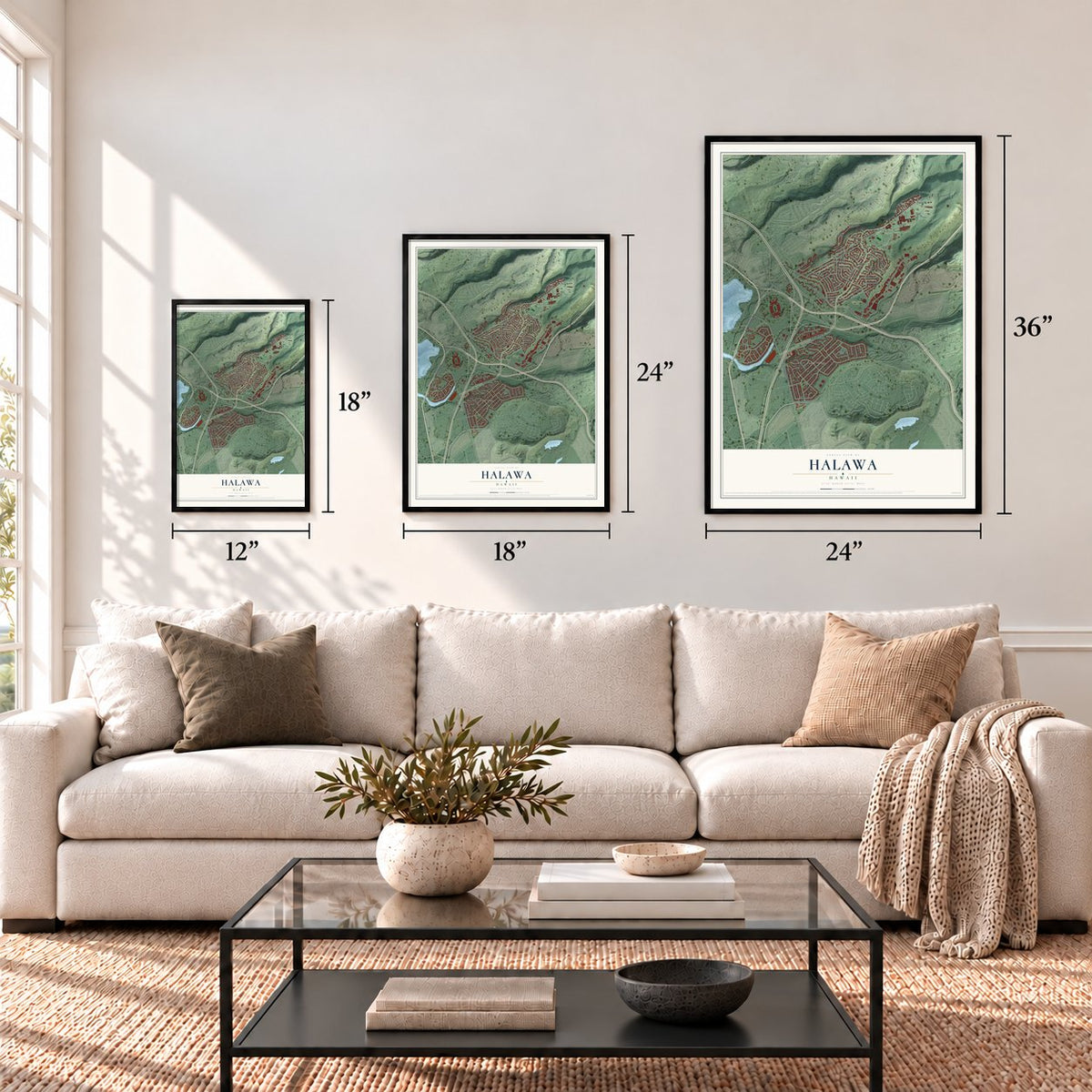

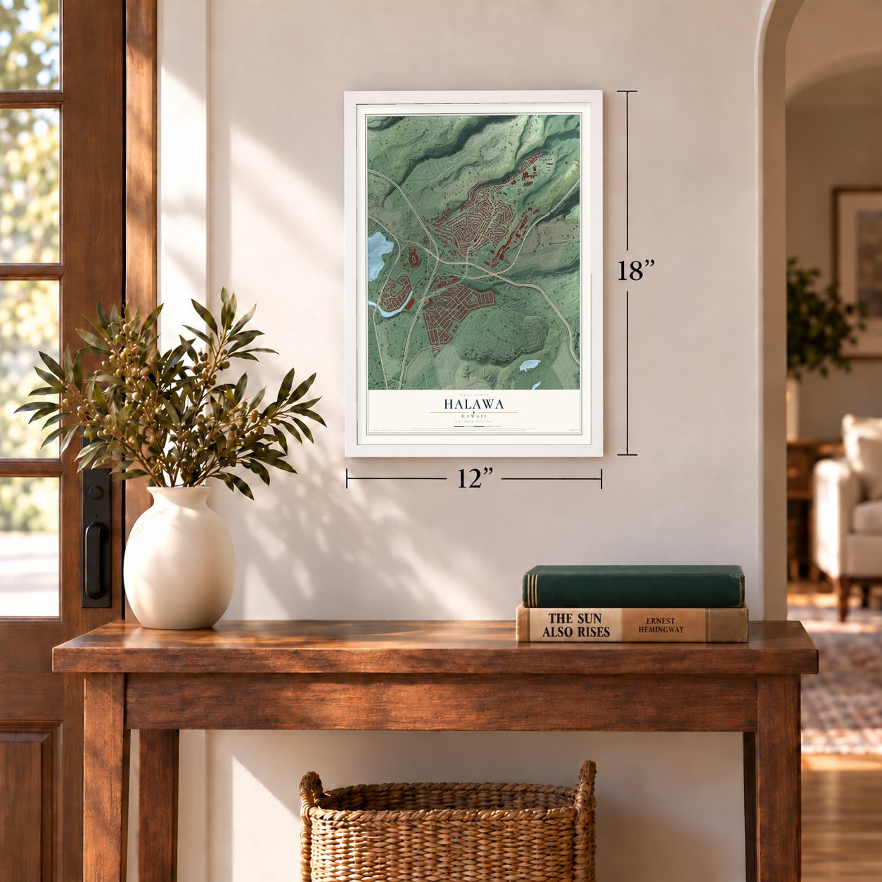

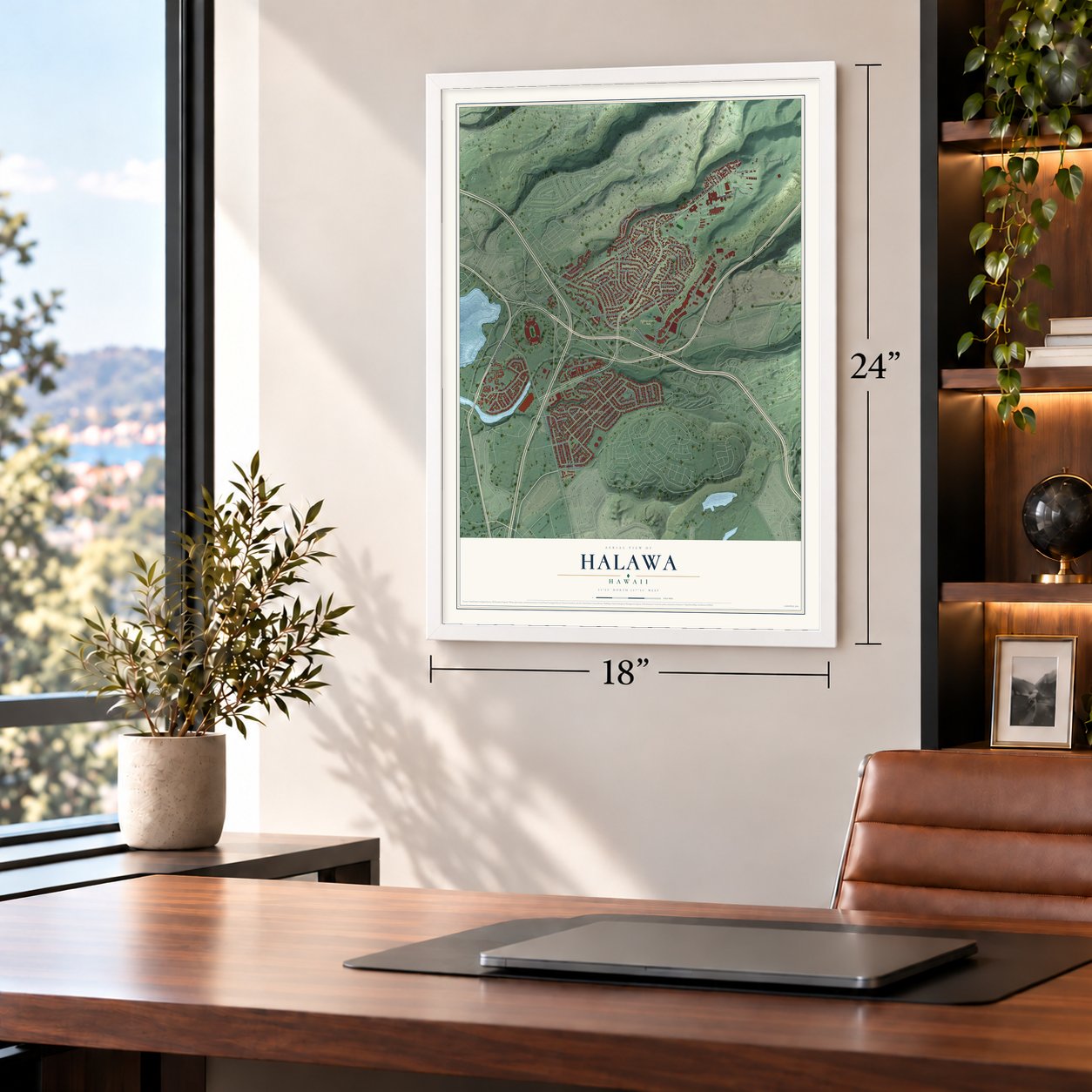

Free U.S. delivery 7 to 10 days after you order
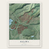
Halawa, Hawaii Map Art
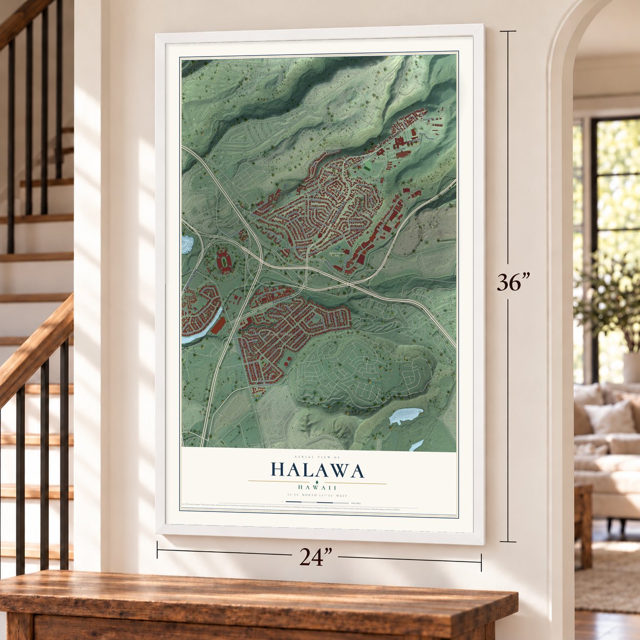
A new map of Halawa, Hawaii, made in 2026 and printed to order on thick archival matte paper.
12" x 18" Archival Matte Print
A Map of Home. A Work of Art.
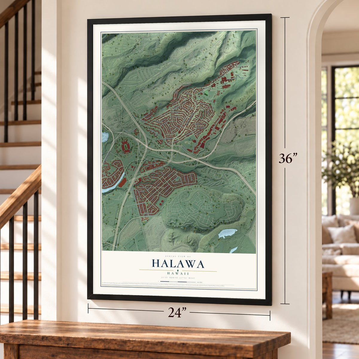
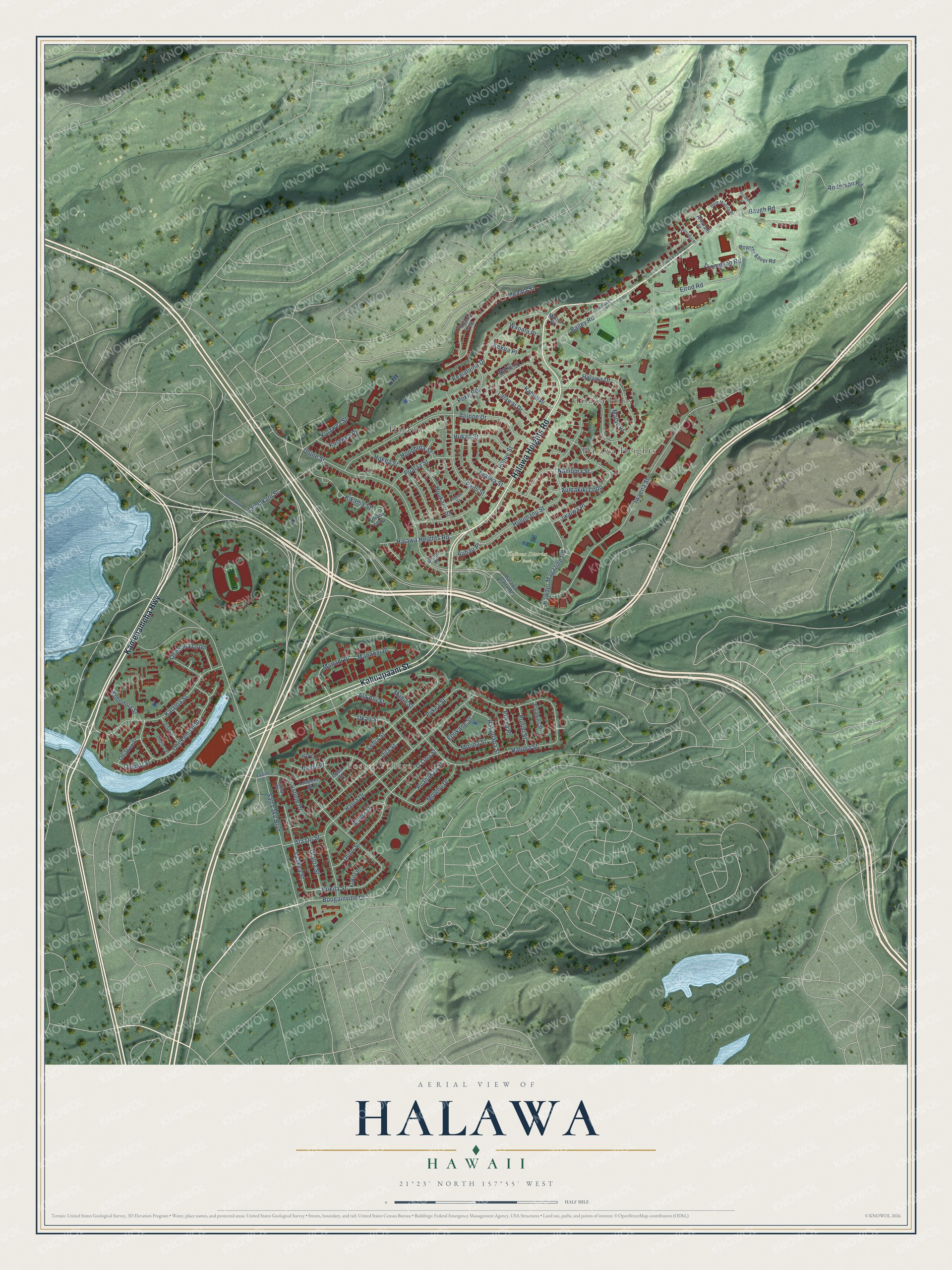
Explore Halawa, Hawaii from a whole new perspective. Created using aerial imagery and detailed geographic data, this map captures Halawa building by building, with labeled streets, familiar landmarks, and shaded topographical relief that highlights the natural contours of the landscape.
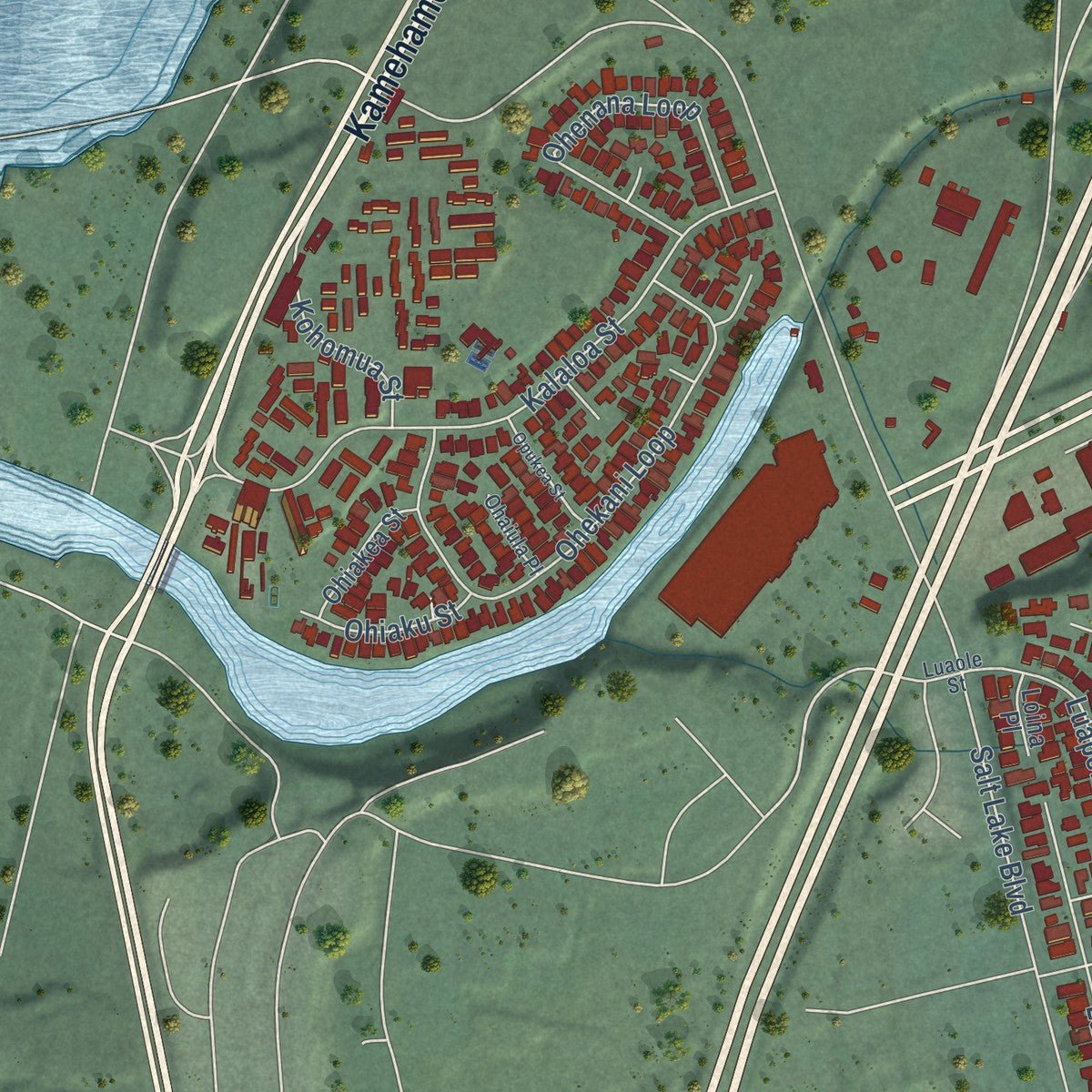
Combining modern data with the timeless character of a vintage atlas, this map is just as interesting up close as it is beautiful on the wall. Whether you grew up in Halawa, spent memorable years there, or call it home today, this unique map is a great way to celebrate a place that means something to you. Zoom in on the preview to look for your street, and then order a print to put your memories on the wall.
Three ways to hang it
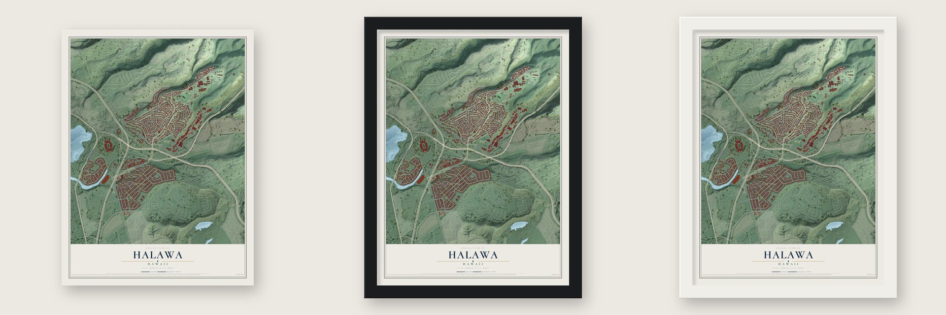
Unframed archival matte, a black wood frame or a white wood frame.
Up close
Geography Worth Displaying
This map was created using accurate cartographic data and authoritative geographic sources, including the U.S. Geological Survey and the Census Bureau. The map brings together terrain, waterways, roads, and building detail. The majority of the streets are labeled, houses are accurately depicted, and the topography is derived from government sources. Combining local data with carefully composed color and shading leads to this beautifully detailed Halawa artwork for your wall.
Rather than simply showing street outlines, we’ve included as many of the street names as we could reasonably fit on the map while keeping their names legible. Zoom in on the high resolution preview to see exactly what’s on the map. We truly set out to create a statement piece for anyone who loves Halawa. So whether it’s for you, or a gift for someone you love, we hope this map of Halawa brings back fond memories.
About Halawa, Hawaii
Halawa is a community of 15,016 people in the ‘Ewa District of Honolulu County. Its Hawaiian name means curve. Halawa Stream splits into a north and a south valley, and the two branches meet where the H-3 and H-201 highways cross. Most of Halawa Valley is still undeveloped, and Camp H. M. Smith, headquarters of the U.S. Indo-Pacific Command, is here.
In Kanaka Maoli belief the whole ahupua'a of Halawa is sacred. Legend names its uplands as the birthplace and main home of Papahānaumoku, the Hawaiian form of Mother Earth, and the valley holds one of only two or three surviving Hale o Papa, women's temples built for her worship. Many cultural sites were lost to the invasion of Kahekili II, to sugarcane fields and later to the H-3 Freeway. Aloha 'Aina practitioners still look after the ones that survived.
- Home of the Queen of SharksAt the Pearl Harbor end of Halawa, called Pu'uloa, lives Ka'ahupahau, the shark goddess who guarded O'ahu and made sharks and people alike behave kindly and fairly. Her home was famous for its beds of pearl oysters until the late 1890s. Religious experts who follow her say she took the oysters away because people were abusing the area.
- A prayer ceremony in 1993While the H-3 Freeway was being built through North Halawa, thirteen cultural practitioners were arrested in 1993 during a ceremony to pray for the valley's healing. Their lele, a religious altar, was destroyed, and caretakers were barred from the sites. Some of those caretakers, many of them elders, have since returned to tend the sites.
- The H-3 opens in 1997The H-3 Freeway opened in 1997. From Halawa it climbs to the Tetsuo Harano Tunnels at 1,100 feet, then passes through the Ko‘olau crest and continues to Kaneohe.
- Aloha Stadium in 1975When Aloha Stadium opened in Halawa in 1975, the University of Hawai‘i Warriors football team left the old Honolulu Stadium and moved here. The Skyline rail station at the base of the valley is named for the stadium.
- Water for HonoluluOnce the Halawa Shaft was finished, Honolulu could bring in water from the Pearl Harbor area. That let the city pump less from its own Honolulu aquifer.
Find your street
Names on the Halawa map
Every name below is printed on this map. Look for your street, your school, the park where you played, or the pond down the road.
Places and landmarks5
- Foster Village
- Halawa District Park
- Hālawa
- Hālawa Heights
- Hālawa Hills
Streets and roads95
- Kamehameha Highway
- Halawa Heights Road
- Kahuapaani Street
- Bougainville Drive
- Ulune Street
- Salt Lake Boulevard
- Iwaena Street
- Haloa Drive
- Bailey Road
- Iwaiwa Street
- Hulumanu Street
- Halawa Drive
- Aliipoe Drive
- Molehu Drive
- Halupa Street
- Piikea Street
- Kukila Street
- Olino Street
- Anderson Road
- Kalaloa Street
- Ohekani Loop
- Lalawai Drive
- Pohue Street
- Elrod Road
- Meaala Street
- Kealaluina Drive
- Kikania Street
- Lehia Street
- Paihi Street
- Uila Street
Show all 95 streets
- Ala Alii Street
- Powder Magazine Road
- Mananai Place
- Manani Place
- Aumakiki Loop
- Hokea Street
- Ohenana Loop
- Kaimakani Street
- Nahiolea Street
- Laakea Street
- Baugh Road
- Luapele Drive
- Ukali Street
- Pualaa Street
- Molina Street
- Hakupapa Street
- Kohomua Street
- Huakanu Street
- O'Lino Street
- Hukaa Street
- Puanakau Street
- Poko Road
- Kulawea Street
- Olaloa Street
- Anapa Street
- Honohina Street
- Kulawea Place
- Ala Oli Street
- Ohiaku Street
- Punihi Street
- Thompson Road
- Kaholi Place
- Iwaiwa Place
- Epukane Street
- Naulu Place
- Malae Place
- Kekoa Place
- Waoala Place
- Piikea Place
- Mahie Street
- Auhau Place
- Nakui Place
- Halawa Dairy Road
- Puluniu Loop
- Poynter Bauer Road
- Ohiakea Street
- Palahinu Place
- Opua Street
- Oliana Loop
- Luapele Place
- Aiealani Place
- Kukila Place
- Loina Place
- Ulune Place
- Mikioi Place
- Moanalua Road
- Pohuli Street
- Hele Mauna Place
- Wawe Place
- Ohaiula Place
- Luaole Street
- Puumakani Street
- Fernridge Place
- Opukea Street
- Palaialii Place
Names are listed as they appear on the printed map. Zoom into the product photos to find them.
The art of mapping a place
How This Map Was Made
Real places. Remarkable detail. Discover the layers that turn geographic data into a map of home.

The view from above
Aerial imagery reveals the character of the land: woodland, open fields, and the patterns of a place.

The shape of the land
Elevation data brings hills, valleys, and subtle changes in the landscape into view.

The details of home
Roads, waterways, and building footprints come together to make the map feel unmistakably local.

Geography becomes art
Considered color, shading, and typography bring the layers together in a map made for your wall.


Process illustrated with Mendon, Massachusetts. Aerial imagery: USDA NAIP. Terrain: USGS 3D Elevation Program. Map details and finished artwork: KNOWOL.
The Details
About This Print
Choose an archival matte print, or a black or white Ayous wood frame. The archival matte print is unframed.
Select your size and finish above to see the matching product image and price.
Materials & Craftsmanship
A contemporary map with the character of a classic atlas, printed on archival matte paper. Optional frames are made from Ayous wood.
Your printed map does not include the watermark shown in the full-map preview.
Shipping & Delivery
Free shipping within the United States. Every print is made to order in the USA.
Buying a gift? Add a note in your cart and we'll include it. We never put prices in the package.
Prints ship within 2 to 3 business days. Allow 7 to 10 days total from ordering for delivery. Timing may vary during holidays or periods of high order volume.
Read our shipping policy.
Returns and damaged prints
Each print is made to order. Change-of-mind refunds are not available after production.
If your print arrives damaged, misprinted or incorrect, contact support@knowol.com within 30 days of receiving it. Include your order number, photos and a description of the issue.
Read our full refund and replacement policy. For questions about your order, email support@knowol.com.
Find your town
Looking for another city?
Find a map of home in our Hawaii collection, or any town in the country.
Nearby
Maps of towns near Halawa
Know someone from one of these towns? Their map makes a great gift.
 Aiea
Aiea, Hawaii
From $39.99See the map
 Waimalu
, Hawaii
From $39.99See the map
 Pearl City
, Hawaii
From $39.99See the map
More maps nearby: Hickam Housing, Iroquois Point, Waipio, Urban Honolulu and Waikele.