
Search for another town


Free U.S. delivery 7 to 10 days after you order
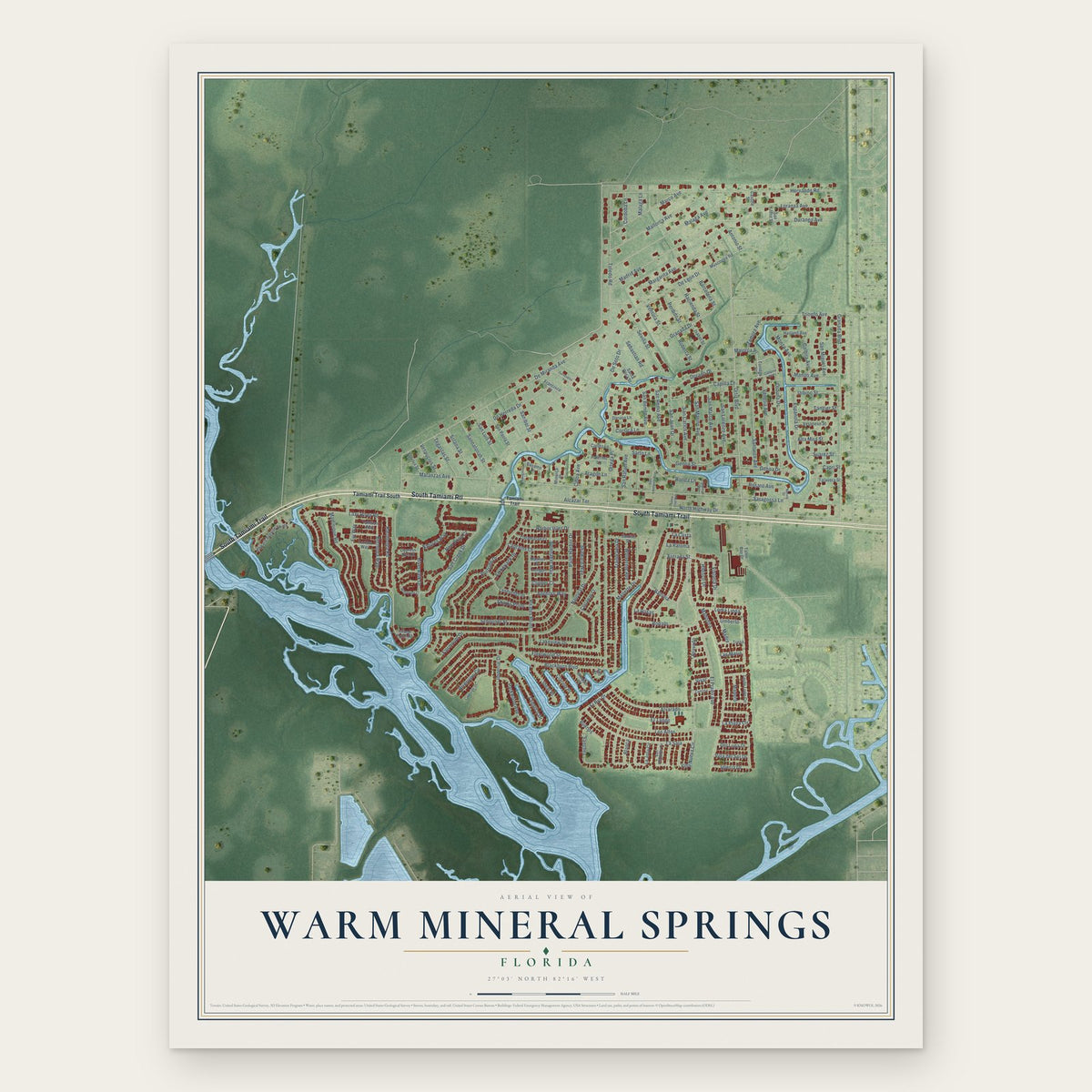
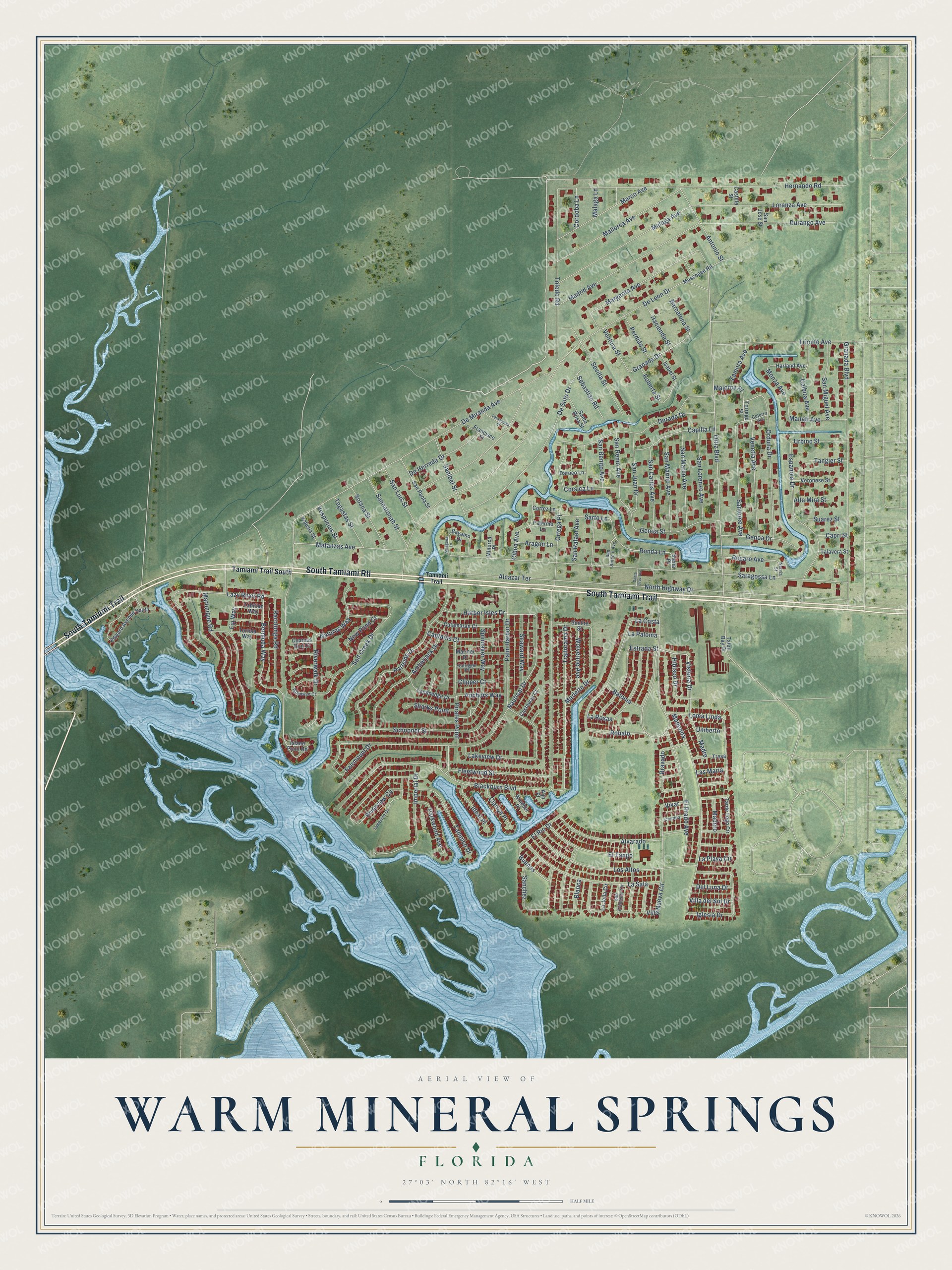
Warm Mineral Springs, Florida Map Art
Building by building, with labeled streets and shaded relief.
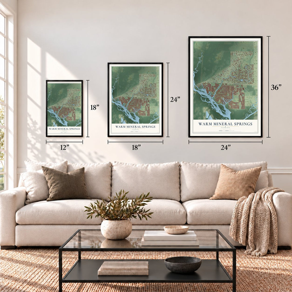
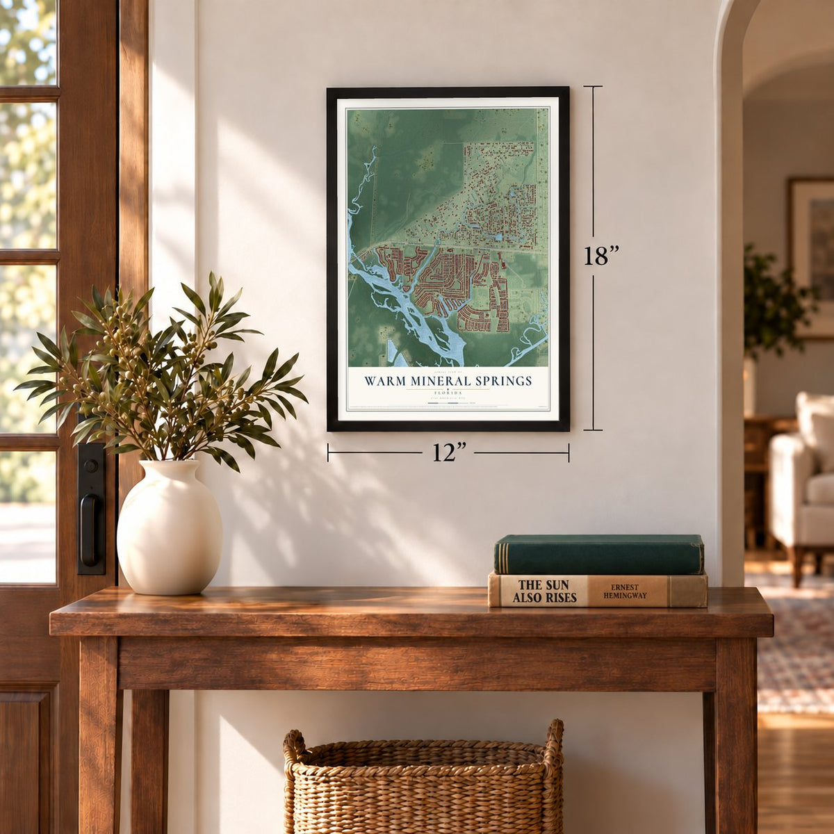
12" x 18" Archival Matte Print
A Map of Home. A Work of Art.
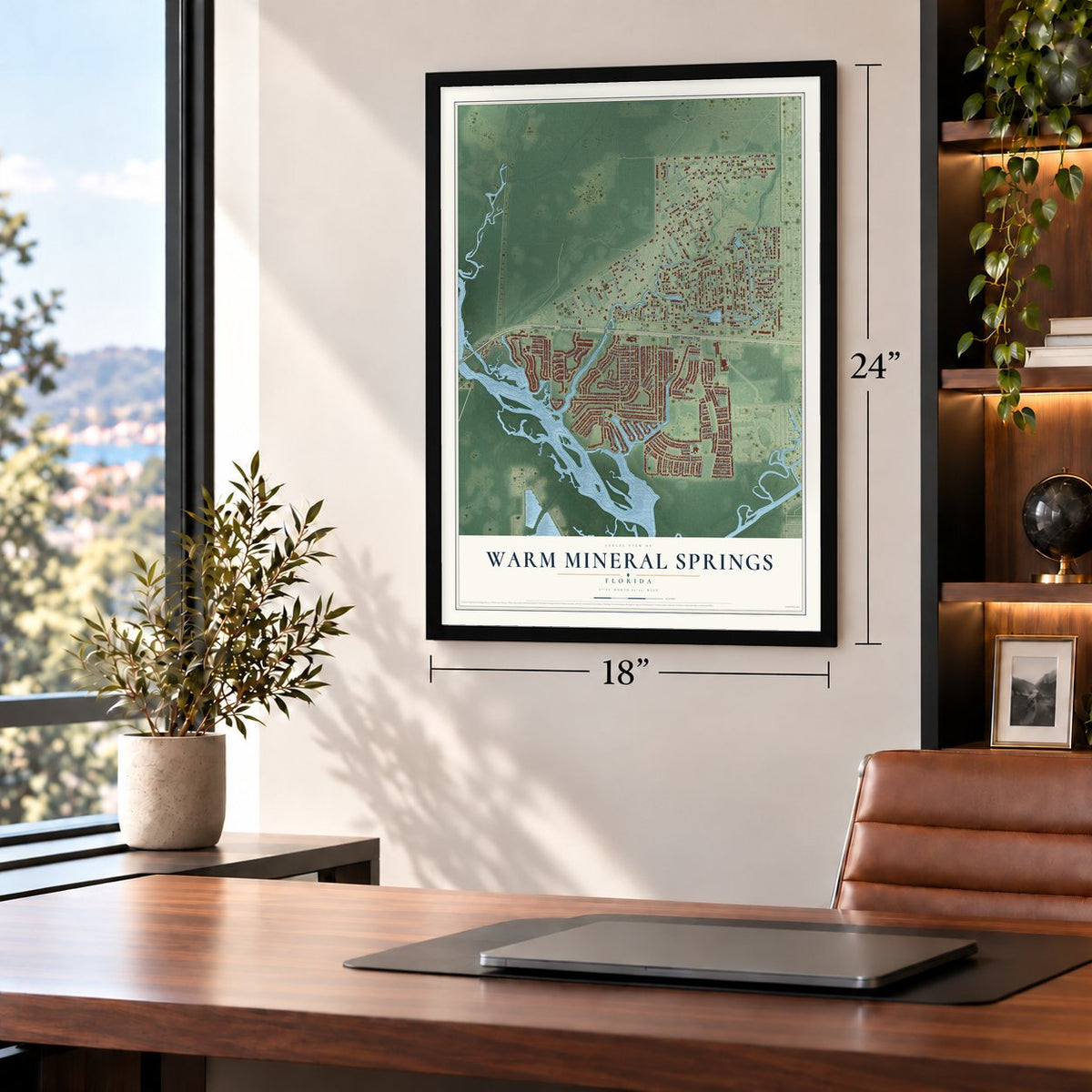
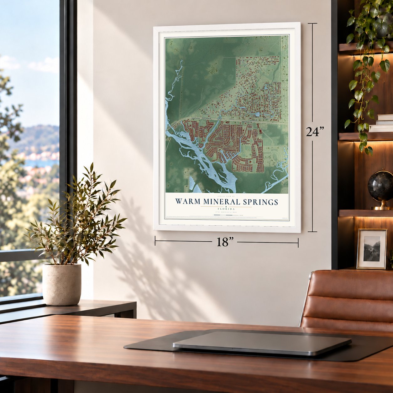
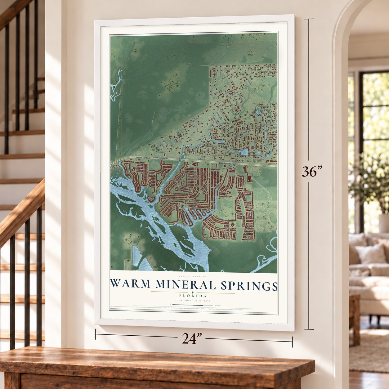
Explore Warm Mineral Springs, Florida from a whole new perspective. Created using aerial imagery and detailed geographic data, this map captures Warm Mineral Springs building by building, with labeled streets, familiar landmarks, and shaded topographical relief that highlights the natural contours of the landscape.
Combining modern data with the timeless character of a vintage atlas, this map is just as interesting up close as it is beautiful on the wall. Whether you grew up in Warm Mineral Springs, spent memorable years there, or call it home today, this unique map is a great way to celebrate a place that means something to you. Zoom in on the preview to look for your street, and then order a print to put your memories on the wall.
Three ways to hang it
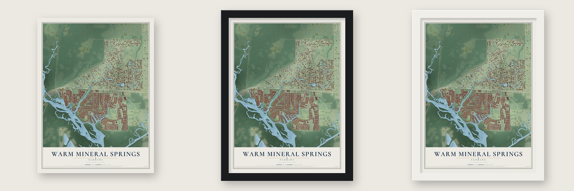
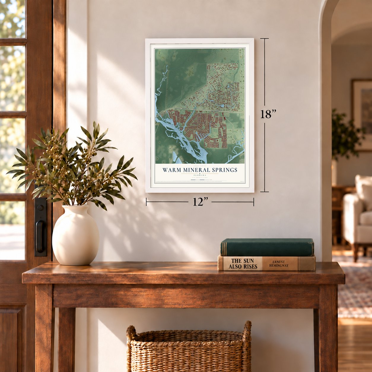
Unframed archival matte, a black wood frame or a white wood frame.
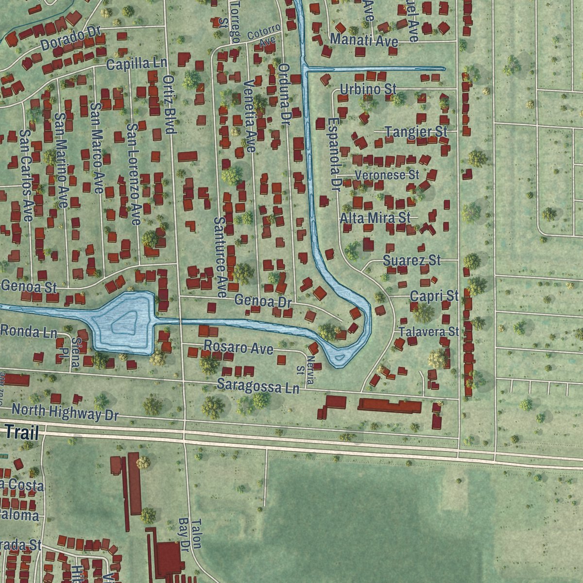
Up close
Geography Worth Displaying
This map was created using accurate cartographic data and authoritative geographic sources, including the U.S. Geological Survey and the Census Bureau. The map brings together terrain, waterways, roads, and building detail. The majority of the streets are labeled, houses are accurately depicted, and the topography is derived from government sources. Combining local data with carefully composed color and shading leads to this beautifully detailed Warm Mineral Springs artwork for your wall.
Rather than simply showing street outlines, we’ve included as many of the street names as we could reasonably fit on the map while keeping their names legible. Zoom in on the high resolution preview to see exactly what’s on the map. We truly set out to create a statement piece for anyone who loves Warm Mineral Springs. So whether it’s for you, or a gift for someone you love, we hope this map of Warm Mineral Springs brings back fond memories.
Read the story behind this map of Warm Mineral Springs, Florida from 2026.
Find your street
Names on the Warm Mineral Springs map
Every name below is printed on this map. Look for your street, your school, the park where you played, or the pond down the road.
Streets and roads185
- South Tamiami Trail
- South Tamiami Rtl
- Vistoria Drive
- Ronda Lane
- Granada Drive
- Buenos
- El Prado Avenue
- Ortiz Boulevard
- Nautical Drive
- El Rio Drive
- Rarotonga Road
- De Leon Drive
- Blackburn Boulevard
- Saragossa Lane
- De Miranda Avenue
- Hernando Road
- Granada Boulevard
- Martinique Road
- North Highway Drive
- Fairmount Drive
- Madonna
- De Soto Drive
- Lazy River Road
- Palm Harbor Drive
- Riverwalk Drive
- Portside Drive
- Trailorama Drive
- Toledo Road
- Los Altos
- Salt Creek Drive
Show all 185 streets
- Riverview Circle
- Madrid Avenue
- Margarita Avenue
- La Sala
- Schooner Street
- Malaga Avenue
- Dorado Drive
- Loranza Avenue
- Loma Linda
- Espanola Drive
- La Costa
- Lakeview Drive
- Orduna Drive
- Mallorca Avenue
- Durango Avenue
- Alvarado
- Ortega Place
- Imperial Drive
- Iglesia Drive
- Santurce Avenue
- Amberjack Drive
- Venetia Avenue
- Alcazar Terrace
- Matanzas Avenue
- Trionfo Avenue
- Sevilla Street
- Fleetwood Street
- Blanca
- Sanchez
- Estrada Street
- La Rosas
- Pirates Point
- Bermuda Way
- Marco Avenue
- San Remo Avenue
- Marlette Drive
- San Marco Avenue
- San Benito Avenue
- San Marino Avenue
- El Tango
- Harbor Isles Drive
- San Lorenzo Avenue
- Tampico Drive
- San Rafael Avenue
- Genoa Street
- Corsica Lane
- Bravado
- Capilla Lane
- Vivar
- Antonio Street
- Sanibel Street
- San Carlos Avenue
- San Juan Drive
- Spinnaker Way
- De Herreda Drive
- Calbira Avenue
- Sannatonah Street
- San Miguel Avenue
- Genoa Drive
- La Playa Circle
- Solana Street
- Natures Way
- Villa Nueva Circle
- Seaward Way
- Hibisco Drive
- Ciboa Avenue
- San Luis Street
- Captains Court
- Wolverine Avenue
- Parkwood Avenue
- Majorca Place
- Tegastas Street
- Manati Avenue
- Robalo
- Monza Avenue
- Rosaro Avenue
- Urbino Street
- Ideal Place
- Sharks Point
- Hacienda Street
- Perdido Street
- Sebastian Road
- Anchors Way
- Ventura Street
- Barcelona Street
- Sarto Lane
- Zamora Avenue
- Clarion Place
- Suarez Street
- Vespucius Street
- Madre
- Villa del Sol Drive
- Balonia
- New Pond Court
- Roberta Street
- Aragon Lane
- Cordoba Lane
- Del Luna Drive
- Tangier Street
- Fiji Way
- Clipper Court
- Alta Mira Street
- Madero
- La Paloma
- Capri Street
- Las Maria
- Malaga Lane
- Umberto
- Tamiami Trail South
- Torrego Street
- Bayamo Drive
- Tarde Logo Circle
- Landsedge Drive
- La Jolla Circle
- Edward Avenue South
- San Paola Street
- Catamaran Court
- Mariner Drive
- Tortola Way
- Muscogee Road
- Island Point Road
- Harland Avenue
- Francisco Street
- Sunlite Street
- Santa Rosa Street
- Veronese Street
- Castaway Court
- Tresa
- Volusia Street
- Isabel Street
- Talavera Street
- Tahitian Way
- Windsor Place
- Palermo Lane
- San Jose Street
- Cortez Lane
- Daroco Lane
- Cypress Run Court
- Minorca Place
- Talon Bay Drive
- Castille Street
- Siena Place
- Aljo Place
- Tamiami Trail
- San Clemente Circle
- Lakeside Drive
- Woodwyn Court
- Cantina
- Outrigger Place
- San Antonio Avenue
- Cotorro Avenue
- Nervia Street
- Saragooa Lane
- Fernandina Street
- Santa Cruz Avenue
Names are listed as they appear on the printed map. Zoom into the product photos to find them.
About Warm Mineral Springs, Florida
Warm Mineral Springs is a community of 5,442 people in Sarasota County, Florida, and it is known for a warm artesian spring that flows freely out of the ground. A large share of the area has since been taken into the city of North Port and now belongs to that city.
In 1955 Sam Herron Jr. bought the springs with Fred Daley, his father-in-law, along with about 1,000 acres of cattle pasture. Herron had come to trust the water on his very first visit, when the seller rubbed some of the spring's warm black mud onto his aching neck and the pain went away at once.
- 44 years at the springsAfter the 1955 purchase, Herron managed the springs for the next 44 years. Over that time his firm, Sam H. Herron Jr. Inc. Real Estate, laid out and developed the Warm Mineral Springs community on the old pasture land.
- Victor Lundy's motel, 1958George and Mary Wheeler Jr. of Shelton, Connecticut, hired Victor Lundy, an architect of the modernist Sarasota School, to design the Warm Mineral Springs Motel in 1958. It opened on Sunday, March 16, 1958, and an estimated 10,000 people turned out for the opening. The motel is now on the National Register of Historic Places.
- Growing since 2010The census counted 5,061 people in Warm Mineral Springs in 2010. By 2020 the number had climbed to 5,442.
Keep exploring Florida
Warm Mineral Springs is one of 1,067 Florida towns we've mapped. Every dot on the map is a print of its own.
The search covers every state, Florida first.
Near Warm Mineral Springs
Order 2 or more town maps and save 10%. Shown in the size and finish you picked above, so they hang as a set.
- North Port 12" x 18" / Archival Matte Print $39.99
- Englewood 12" x 18" / Archival Matte Print $39.99
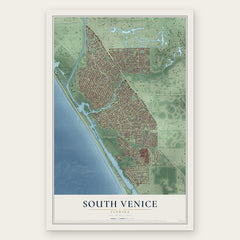
- South Venice 12" x 18" / Archival Matte Print $39.99

More maps nearby: Venice Gardens, Manasota Key, Venice, Grove City and Port Charlotte.
The art of mapping a place
How This Map Was Made
Real places. Remarkable detail. Discover the layers that turn geographic data into a map of home.

The view from above
Aerial imagery reveals the character of the land: woodland, open fields, and the patterns of a place.

The shape of the land
Elevation data brings hills, valleys, and subtle changes in the landscape into view.

The details of home
Roads, waterways, and building footprints come together to make the map feel unmistakably local.

Geography becomes art
Considered color, shading, and typography bring the layers together in a map made for your wall.


Process illustrated with Mendon, Massachusetts. Aerial imagery: USDA NAIP. Terrain: USGS 3D Elevation Program. Map details and finished artwork: KNOWOL.
The Details
About This Print
Choose an archival matte print, or a black or white Ayous wood frame. The archival matte print is unframed.
Select your size and finish above to see the matching product image and price.
Materials & Craftsmanship
A contemporary map with the character of a classic atlas, printed on archival matte paper. Optional frames are made from Ayous wood.
Your printed map does not include the watermark shown in the full-map preview.
Shipping & Delivery
Free shipping within the United States. Every print is made to order in the USA.
Buying a gift? Add a note in your cart and we'll include it. We never put prices in the package.
Prints ship within 2 to 3 business days. Allow 7 to 10 days total from ordering for delivery. Timing may vary during holidays or periods of high order volume.
Read our shipping policy.
Returns and damaged prints
Each print is made to order. Change-of-mind refunds are not available after production.
If your print arrives damaged, misprinted or incorrect, contact support@knowol.com within 30 days of receiving it. Include your order number, photos and a description of the issue.
Read our full refund and replacement policy. For questions about your order, email support@knowol.com.