
Search for another town


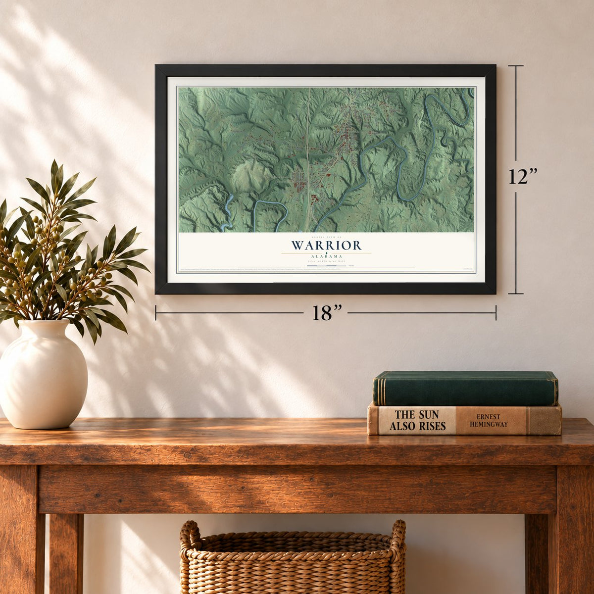
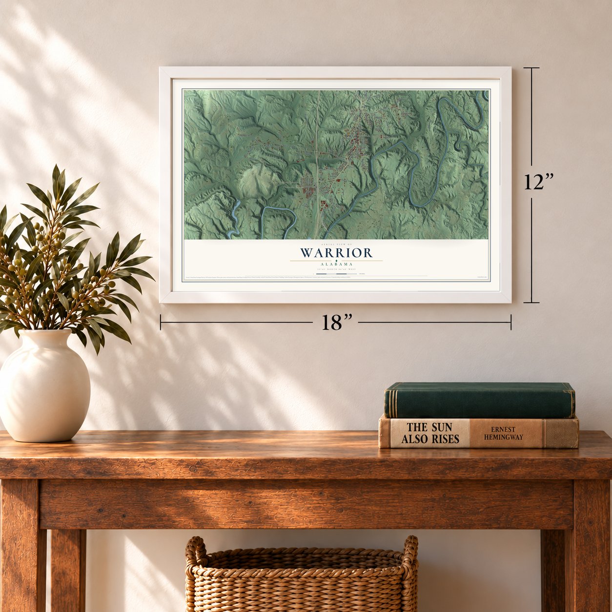
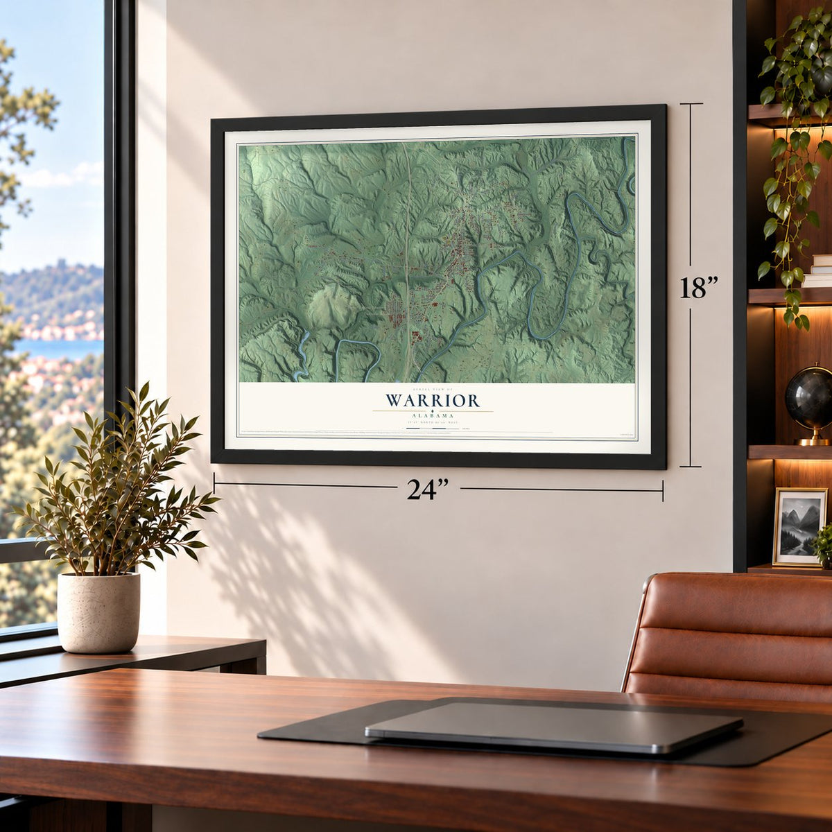
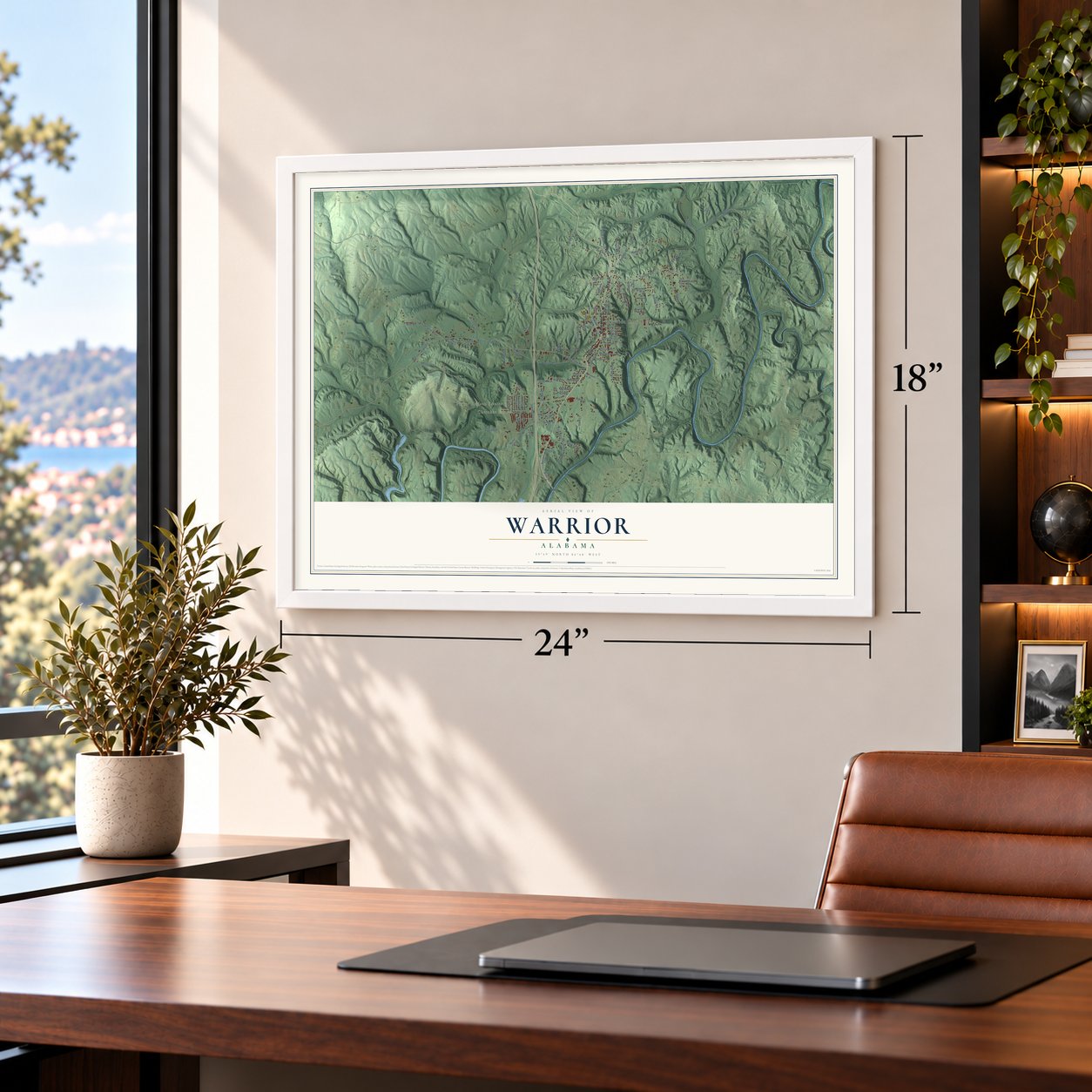

Free U.S. delivery 7 to 10 days after you order
Warrior, Alabama Map Art
A new map of Warrior, Alabama, made in 2026 and printed to order on thick archival matte paper.
12" x 18" Archival Matte Print
A Map of Home. A Work of Art.
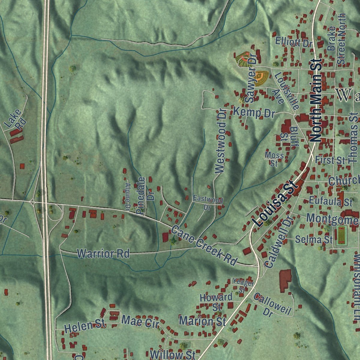
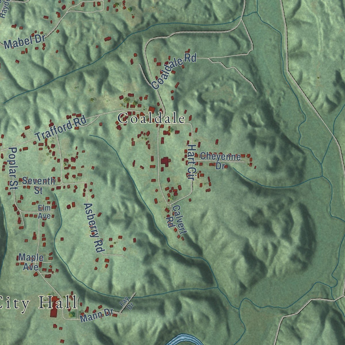
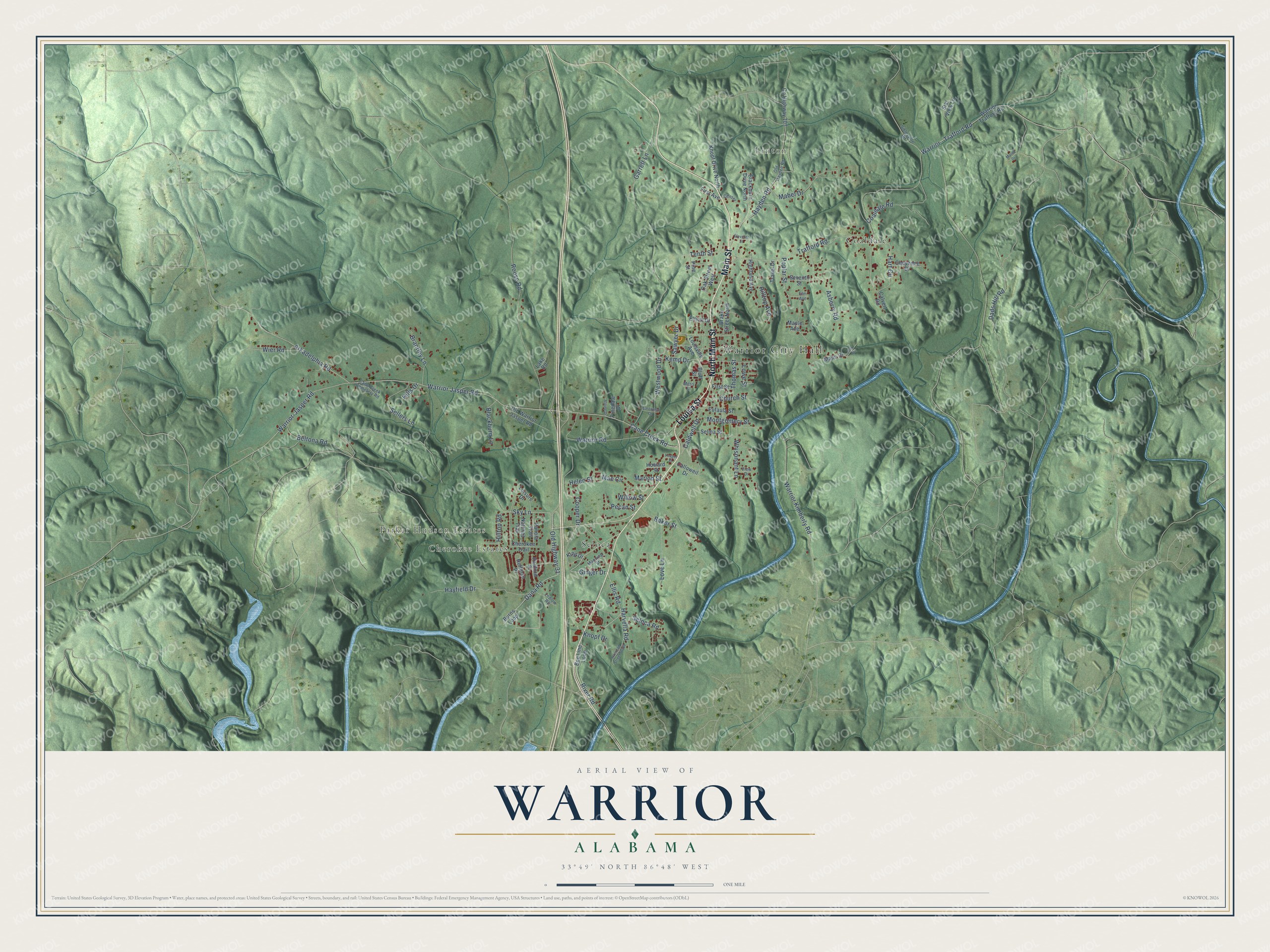
Explore Warrior, Alabama from a whole new perspective. Created using aerial imagery and detailed geographic data, this map captures Warrior building by building, with labeled streets, familiar landmarks, and shaded topographical relief that highlights the natural contours of the landscape.
Combining modern data with the timeless character of a vintage atlas, this map is just as interesting up close as it is beautiful on the wall. Whether you grew up in Warrior, spent memorable years there, or call it home today, this unique map is a great way to celebrate a place that means something to you. Zoom in on the preview to look for your street, and then order a print to put your memories on the wall.
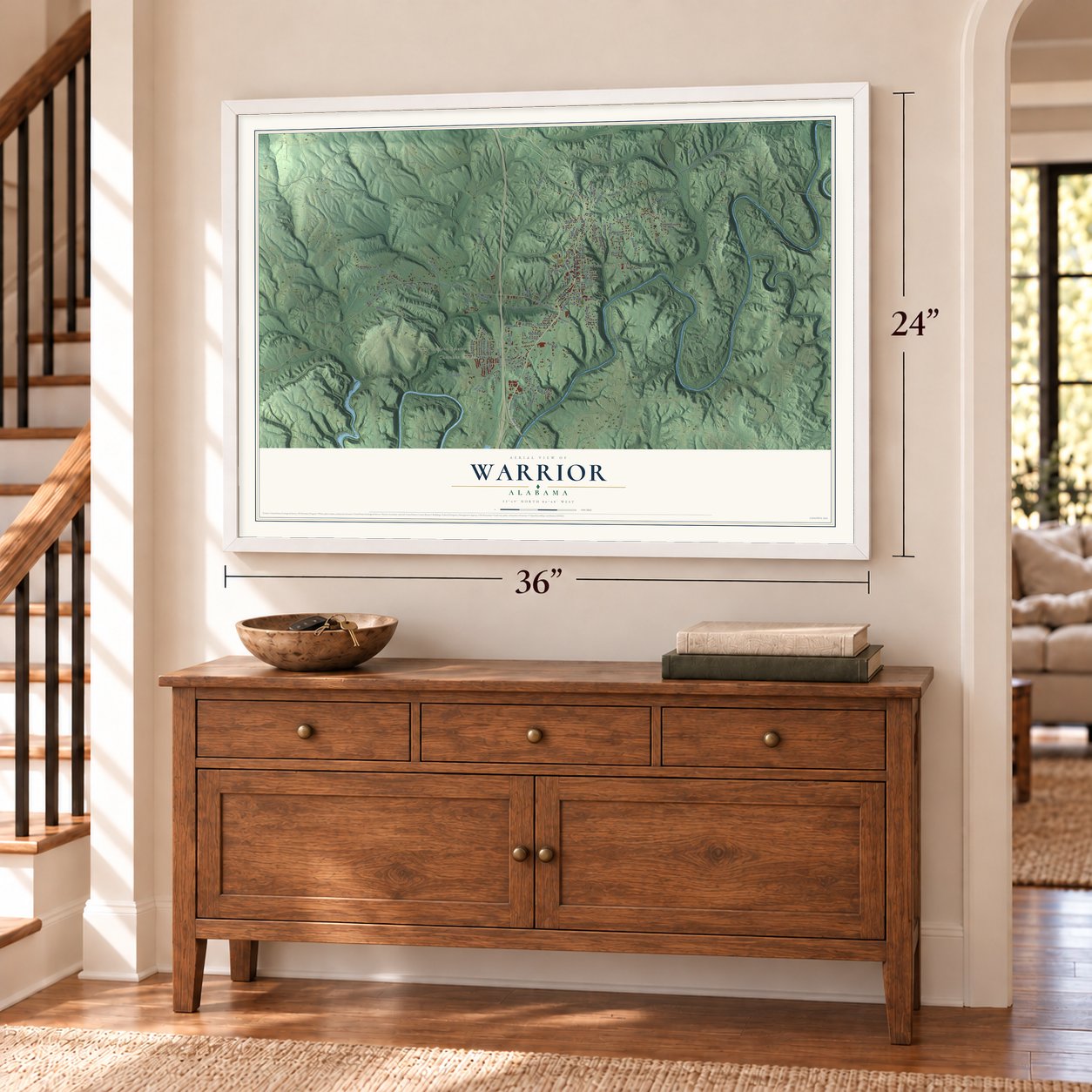
Three ways to hang it
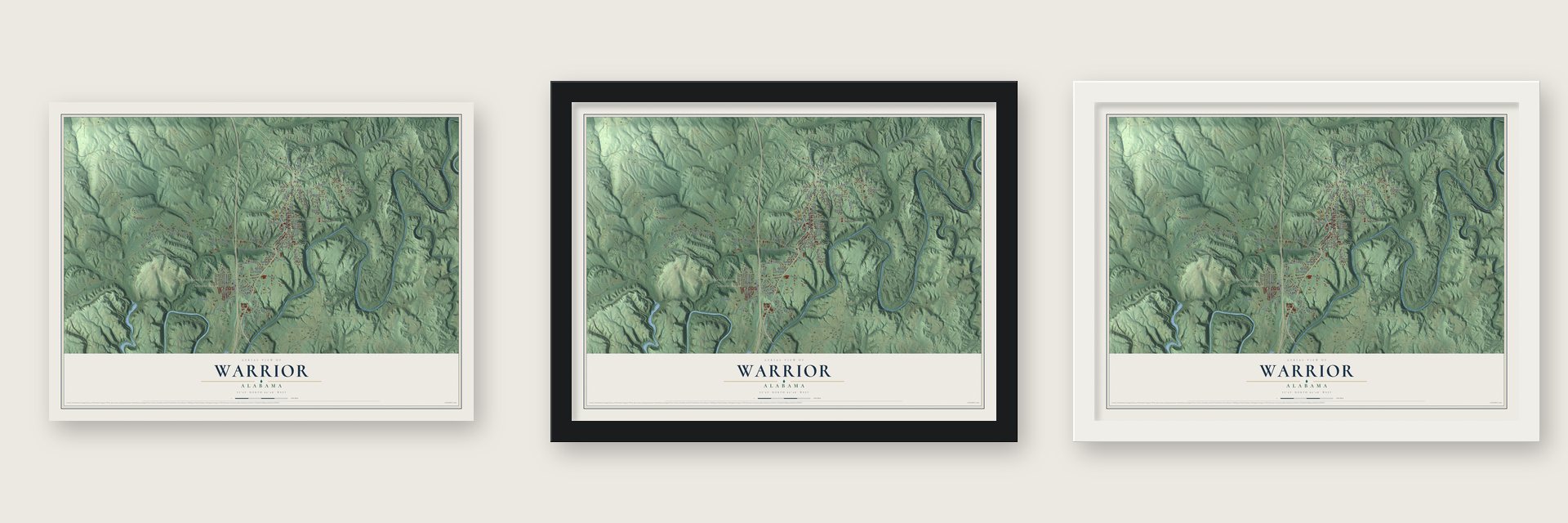
Unframed archival matte, a black wood frame or a white wood frame.
Up close
Geography Worth Displaying
This map was created using accurate cartographic data and authoritative geographic sources, including the U.S. Geological Survey and the Census Bureau. The map brings together terrain, waterways, roads, and building detail. The majority of the streets are labeled, houses are accurately depicted, and the topography is derived from government sources. Combining local data with carefully composed color and shading leads to this beautifully detailed Warrior artwork for your wall.
Rather than simply showing street outlines, we’ve included as many of the street names as we could reasonably fit on the map while keeping their names legible. Zoom in on the high resolution preview to see exactly what’s on the map. We truly set out to create a statement piece for anyone who loves Warrior. So whether it’s for you, or a gift for someone you love, we hope this map of Warrior brings back fond memories.
Read the story behind this map of Warrior, Alabama from 2026.

About Warrior, Alabama
Warrior is a city of 3,224 people in Jefferson County, with outlying parts in Blount County, just north of Birmingham. The land opened to settlers after Creek forces lost the Battle of Horseshoe Bend during the Creek War of 1813-14, and a school stood here even before Alabama became a state. For decades it stayed a thinly settled farming area. That changed in 1872, when J. T. Pierce started mining coal in the Warrior Coal Field and the community got its own post office.
The South and North railroad, later part of the Louisville & Nashville, soon laid track through so the nearby mines could ship their coal. A settlement called Warrior Station formed along that main line and quickly became a busy rail center. Most records date the town's incorporation to 1889. Around 1915 the railroad moved its main line farther east, and the tracks through Warrior became a spur.
- Named for the coal fieldThe city takes its name from the Warrior Coal Field, which in turn was named for the Black Warrior River. The Locust Fork of that river forms the city's southern boundary.
- Coal, bricks and hard timesWarrior's mines, like many in the area, relied heavily on leased convict labor and worked to keep unions out, while the town also ran a thriving brick business. When the Great Depression hit, the mining economy collapsed and many people lost their jobs. Birmingham residents held events to raise money for the miners' families, and donated land gave them ground for vegetable gardens. Warrior organized a volunteer fire department in 1937.
- First high school in 1893Warrior's first public school building went up around 1884, and its first high school followed in 1893. Generations later, the boys' basketball team of the former Warrior High School won the Class 2A state championship in 1992/1993.
- Mayor Rena HudsonRena Hudson became Warrior's first female mayor in 1984. She served two stretches in office, 1984 through 2000 and then 2004 through 2012, which makes her the city's longest-serving mayor, and no other woman has held the job. She died on March 15, 2017. The city's first mayor was William Anderson White.
Find your street
Names on the Warrior map
Every name below is printed on this map. Look for your street, your school, the park where you played, or the pond down the road.
Places and landmarks6
- Warrior City Hall
- Parker Hudson Estates
- Linton
- Cherokee Estates
- Coaldale
- Seloca
Streets and roads108
- Louisa Street
- North Main Street
- Main Street
- Dana Road
- Old Highway 31
- Ginger Drive
- Ellis Road
- Cane Creek Road
- Warrior Kimberly Road
- Sky Lane
- Kemp Drive
- Westwood Drive
- River Road
- Church Street
- Warrior Jasper Road
- Warrior-Jasper Road
- Hayden Road
- Garrett Lane
- Baker Street
- Caldwell Drive
- Trafford Road
- Dads Hill Road
- Coaldale Road
- Cooper Drive
- Hart Circle
- Poplar Street
- Love Lane
- Arkadelphia Road
- Mabel Drive
- Rouse Road
Show all 108 streets
- Hayfield Drive
- Asberry Road
- Warrior - Trafford Road
- Whisonant Lane
- Beltona Road
- Seloca Road
- Warrior Road
- Montgomery Street
- Thomas Street
- Harvella Road
- Sellers Lane
- Helen Street
- Brantley Lane
- Hilltop Avenue
- Wier Road
- Mae Circle
- Tenth Street
- Blackburn Lane
- Pecan Street
- Sawyer Drive
- Hilltop Road
- Knopf Drive
- Willow Street
- Marion Street
- Lowe Street
- Hills Drive
- County Highway 107
- Warrior Trafford Road
- Brake Street North
- Old Warrior Jasper Road
- Knopf Drive North
- Cherokee Trail
- Star View Lane
- Seventh Street
- Oak Street West
- Selma Street
- Highland Avenue
- Hoffman Place
- Calloweil Drive
- King Drive
- Panola Trail
- Natchez Trail
- Eufaula Street
- Cheyenne Drive
- Blackburn Drive North
- Louisville Avenue
- Leisure Drive
- Radford Place
- Mann Drive
- Pine Street
- Howard Street
- Bee Line Loop
- First Avenue
- First Street
- Pinedale Drive
- Travel Drive
- Elliott Drive
- Maple Avenue
- Calvert Road
- Burns Loop
- Lake Road
- Bluff Street
- Old Hayden Road
- Sibleyville Road
- Cane Creek Cemetery Road
- Ledlow Road
- Manning Street
- Center
- View Drive
- Moss Street
- Elm Avenue
- Railroad Street South
- Fay Drive
- Eleventh Street
- Alpine Drive
- Eastwood Drive
- Yeager Street
- Maron Drive
Names are listed as they appear on the printed map. Zoom into the product photos to find them.
The art of mapping a place
How This Map Was Made
Real places. Remarkable detail. Discover the layers that turn geographic data into a map of home.

The view from above
Aerial imagery reveals the character of the land: woodland, open fields, and the patterns of a place.

The shape of the land
Elevation data brings hills, valleys, and subtle changes in the landscape into view.

The details of home
Roads, waterways, and building footprints come together to make the map feel unmistakably local.

Geography becomes art
Considered color, shading, and typography bring the layers together in a map made for your wall.


Process illustrated with Mendon, Massachusetts. Aerial imagery: USDA NAIP. Terrain: USGS 3D Elevation Program. Map details and finished artwork: KNOWOL.
The Details
About This Print
Choose an archival matte print, or a black or white Ayous wood frame. The archival matte print is unframed.
Select your size and finish above to see the matching product image and price.
Materials & Craftsmanship
A contemporary map with the character of a classic atlas, printed on archival matte paper. Optional frames are made from Ayous wood.
Your printed map does not include the watermark shown in the full-map preview.
Shipping & Delivery
Free shipping within the United States. Every print is made to order in the USA.
Buying a gift? Add a note in your cart and we'll include it. We never put prices in the package.
Prints ship within 2 to 3 business days. Allow 7 to 10 days total from ordering for delivery. Timing may vary during holidays or periods of high order volume.
Read our shipping policy.
Returns and damaged prints
Each print is made to order. Change-of-mind refunds are not available after production.
If your print arrives damaged, misprinted or incorrect, contact support@knowol.com within 30 days of receiving it. Include your order number, photos and a description of the issue.
Read our full refund and replacement policy. For questions about your order, email support@knowol.com.
Find your town
Looking for another city?
Find a map of home in our Alabama collection, or any town in the country.
Nearby
Maps of towns near Warrior
Know someone from one of these towns? Their map makes a great gift.
 Kimberly
, Alabama
From $39.99See the map
 Trafford
, Alabama
From $39.99See the map
 Smoke Rise
, Alabama
From $39.99See the map
More maps nearby: Morris, County Line, Hayden, Gardendale and Colony.