
Search for another town

Free U.S. delivery 7 to 10 days after you order
Warsaw, Indiana Map Art
Building by building, with labeled streets and shaded relief.
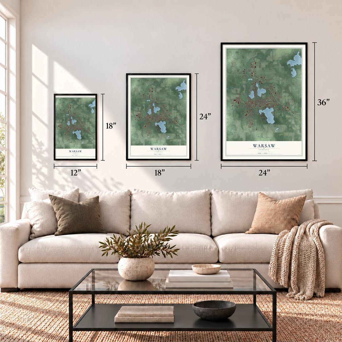
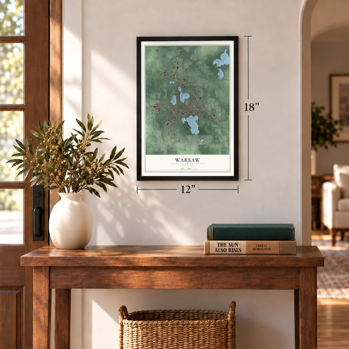
12" x 18" Archival Matte Print
A Map of Home. A Work of Art.
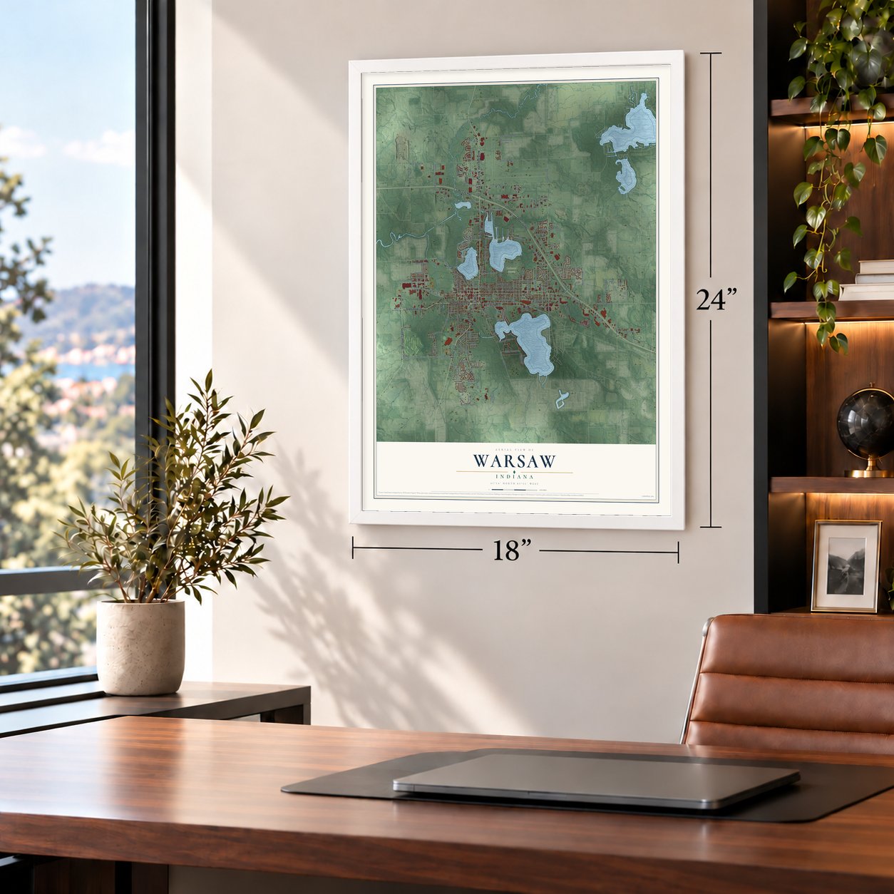
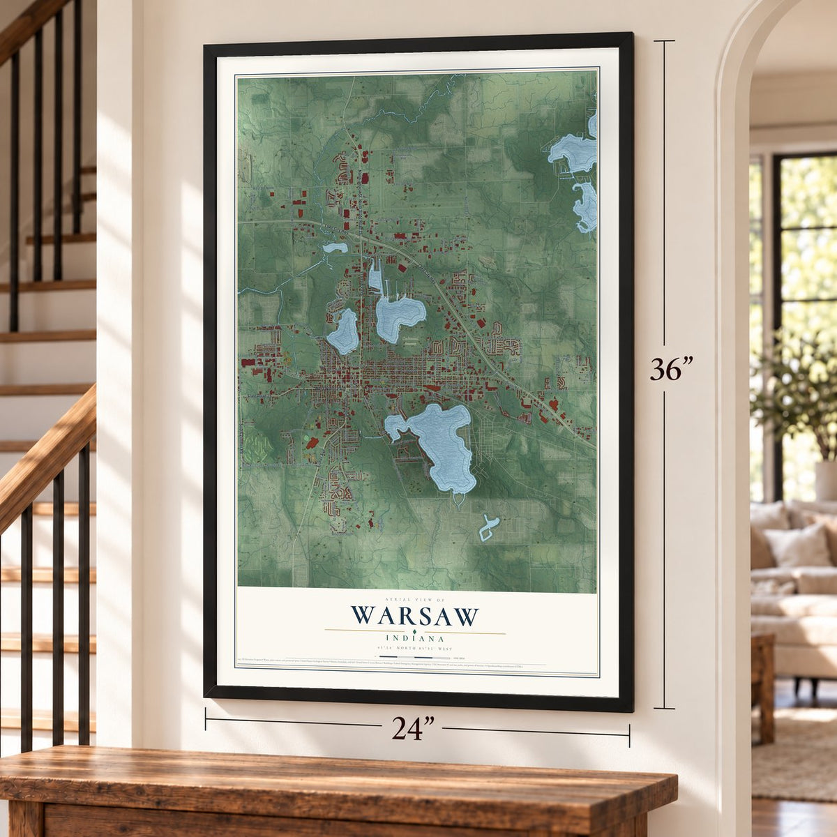
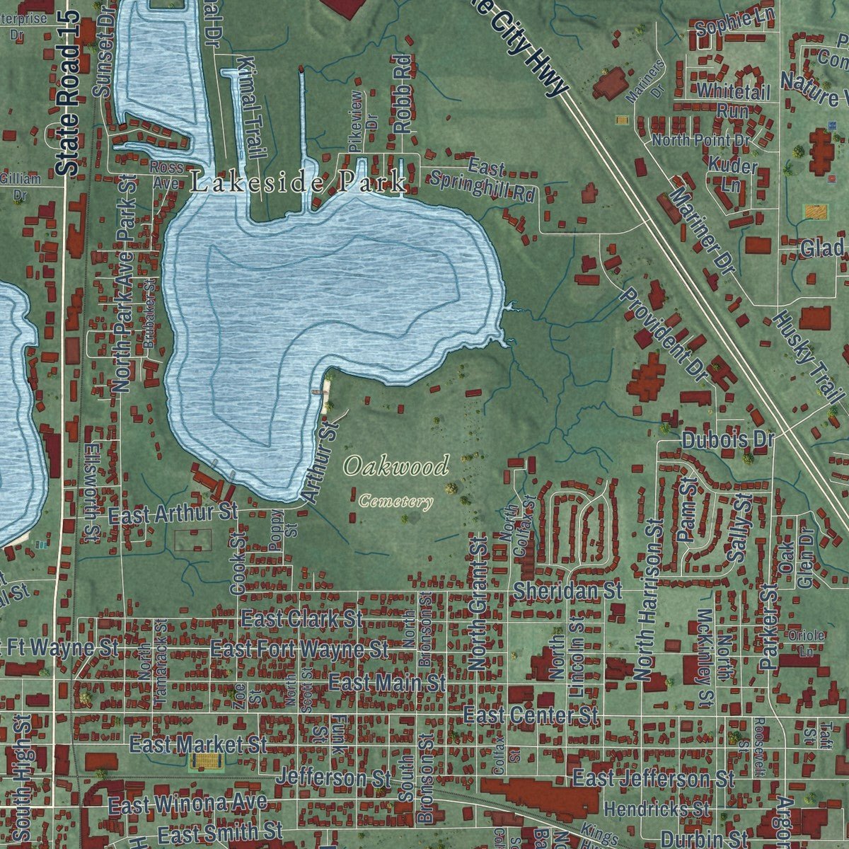
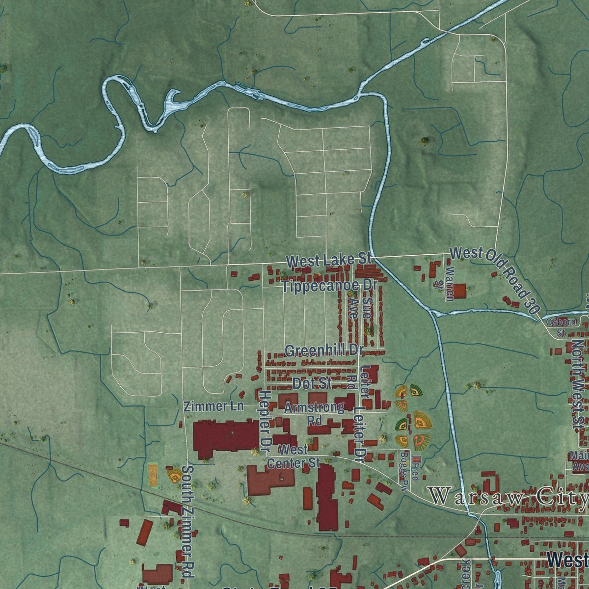
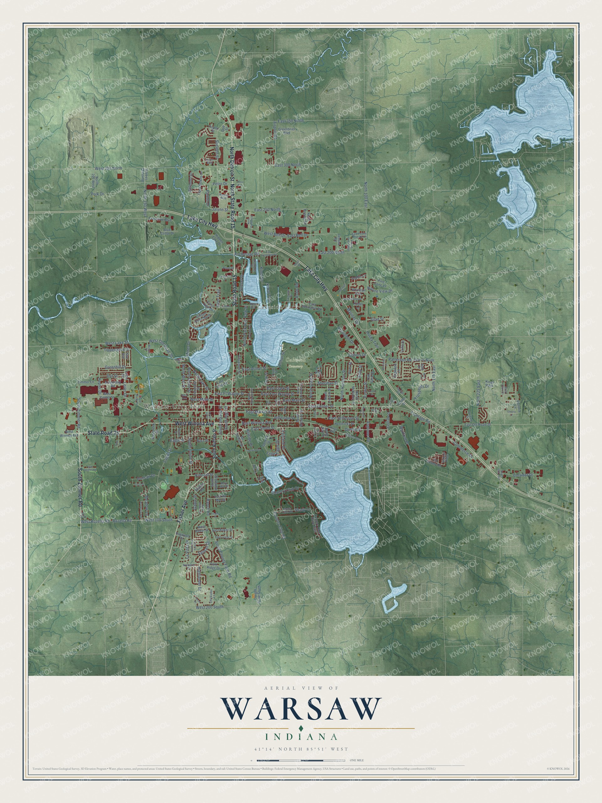
Explore Warsaw, Indiana from a whole new perspective. Created using aerial imagery and detailed geographic data, this map captures Warsaw building by building, with labeled streets, familiar landmarks, and shaded topographical relief that highlights the natural contours of the landscape.
Combining modern data with the timeless character of a vintage atlas, this map is just as interesting up close as it is beautiful on the wall. Whether you grew up in Warsaw, spent memorable years there, or call it home today, this unique map is a great way to celebrate a place that means something to you. Zoom in on the preview to look for your street, and then order a print to put your memories on the wall.
Three ways to hang it
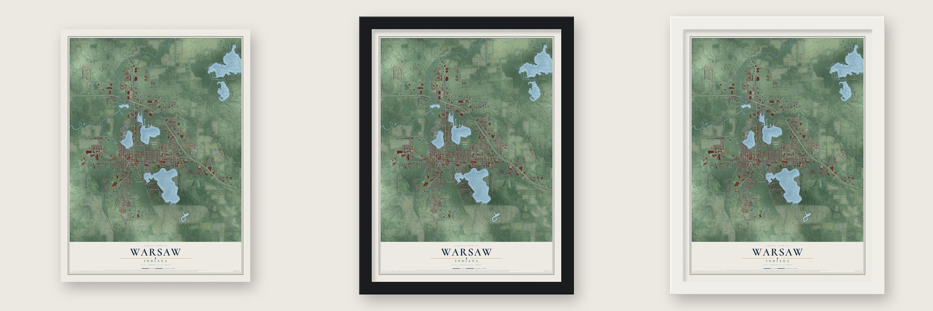
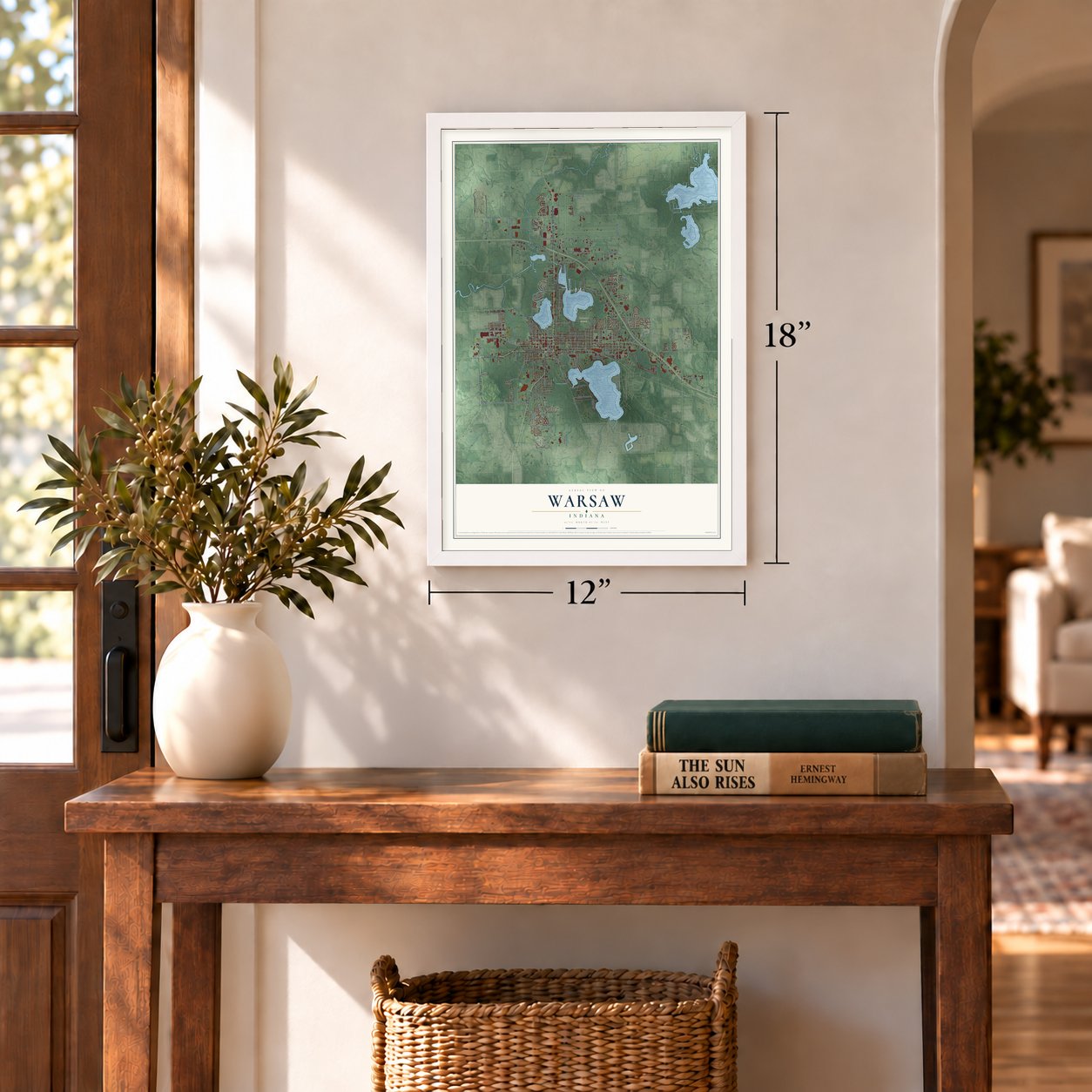
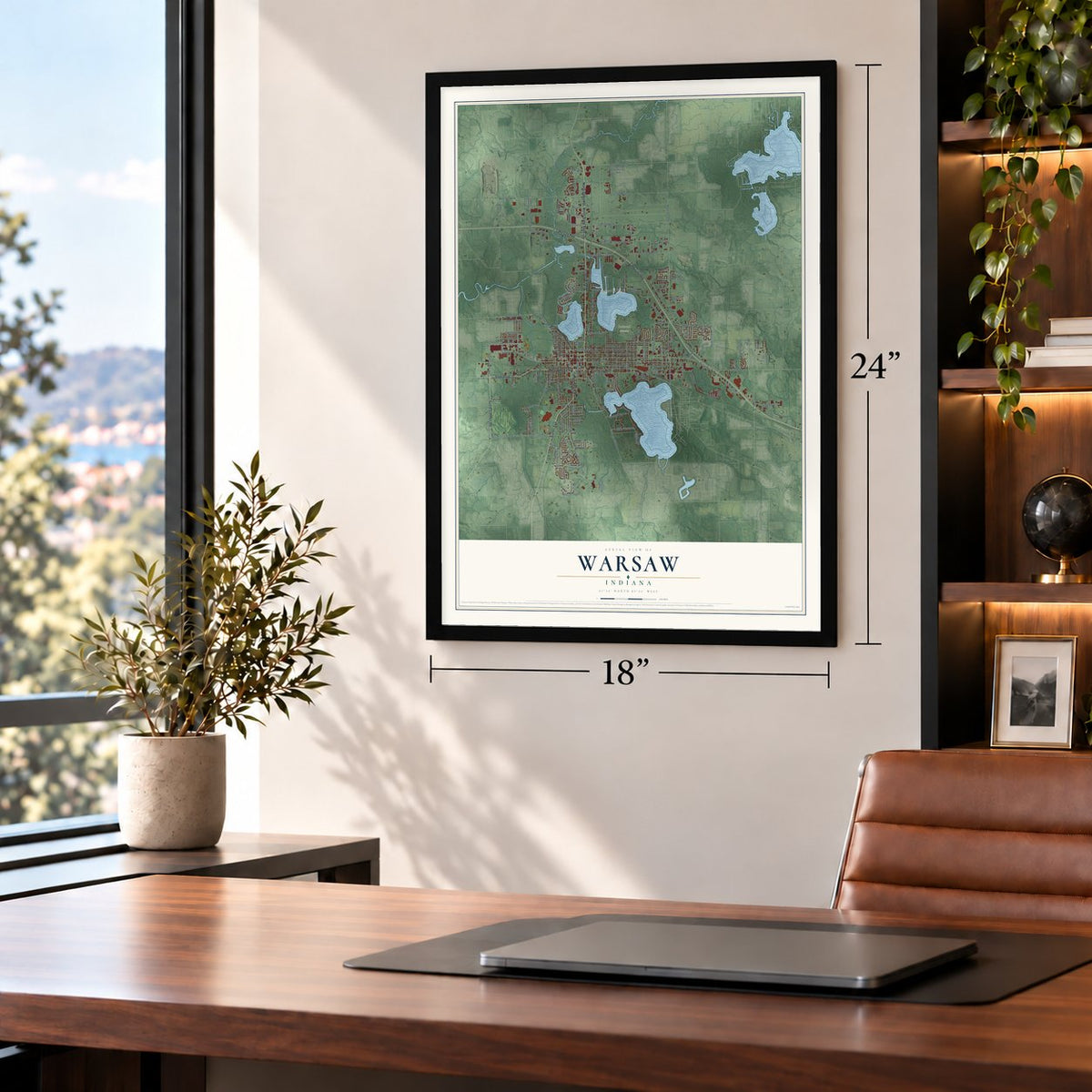
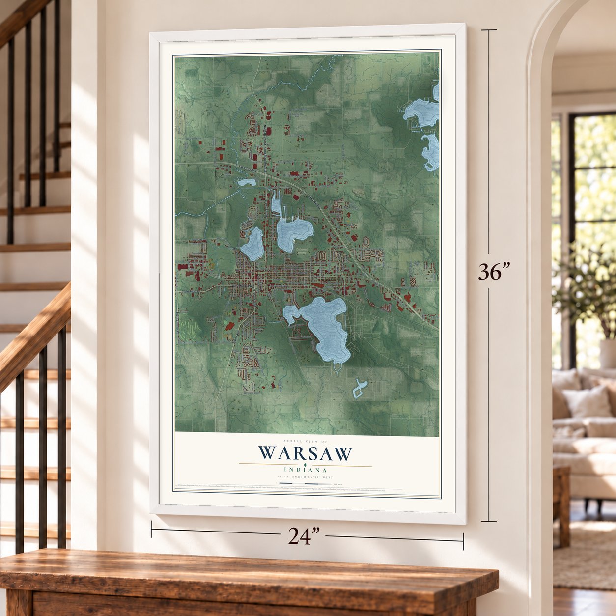
Unframed archival matte, a black wood frame or a white wood frame.
Up close
Geography Worth Displaying
This map was created using accurate cartographic data and authoritative geographic sources, including the U.S. Geological Survey and the Census Bureau. The map brings together terrain, waterways, roads, and building detail. The majority of the streets are labeled, houses are accurately depicted, and the topography is derived from government sources. Combining local data with carefully composed color and shading leads to this beautifully detailed Warsaw artwork for your wall.
Rather than simply showing street outlines, we’ve included as many of the street names as we could reasonably fit on the map while keeping their names legible. Zoom in on the high resolution preview to see exactly what’s on the map. We truly set out to create a statement piece for anyone who loves Warsaw. So whether it’s for you, or a gift for someone you love, we hope this map of Warsaw brings back fond memories.
Read the story behind this map of Warsaw, Indiana from 2026.
Find your street
Names on the Warsaw map
Every name below is printed on this map. Look for your street, your school, the park where you played, or the pond down the road.
Places and landmarks3
- Warsaw City Hall
- Oakwood Cemetery
- Lakeside Park
Streets and roads222
- North Detroit Street
- West Winona Avenue
- South Zimmer Road
- Fisher Avenue
- State Road 15
- Lake City Highway
- North State Road 15
- State Road 25
- East Center Street
- East Winona Avenue
- Rozella Road
- Shelden Street
- West Lake Street
- Argonne Road
- Parker Street
- Husky Trail
- East Market Street
- West Rozella Road
- Wexford Place
- Mariner Drive
- Jalynn Street
- North Harrison Street
- East Ft Wayne Street
- North Lake Street
- East Bell Drive
- East Smith Street
- East Fort Wayne Street
- Commerce Drive
- West Bell Drive
- South High Street
Show all 222 streets
- Kincaid Street
- East 200 North
- South County Farm Road
- East 250 North
- West 300 North
- East Main Street
- East Clark Street
- East Jefferson Street
- Logan Street
- West 100 South
- Country Club Road
- North Park Avenue
- East 350 North
- East 300 North
- Sheridan Street
- West Old Road 30
- Polk Drive
- Ranch Road
- North 150 West
- North 100 East
- Jefferson Street
- South Union Street
- North 225 East
- West 200 South
- Anchorage Road
- Frontage Road
- Sunset Drive
- Kimal Drive
- Durbin Street
- Provident Drive
- Airport Road
- East Arthur Street
- Meadow Lane
- North Union Street
- Miner Drive
- Country Club Drive
- Highlander Drive
- Leiter Drive
- Shady Lane
- Little Eagle Drive
- Hepler Drive
- Prosperity Drive
- Patterson Road
- North Grant Street
- Fairlane Drive
- Corridor Drive
- Kimal Trail
- Petro Drive
- Greenhill Drive
- North 175 East
- Tippecanoe Drive
- Salman Drive
- Belmont Drive
- South Indiana Street
- Sally Street
- Duncan Drive
- North West Street
- Deer Trail
- Nature View Drive
- La Vista Drive
- Gable Drive
- Parent Drive
- Dot Street
- West Main Street
- Hillside Drive
- Glad Street
- Pam Street
- Eagle Street
- Arthur Street
- Robb Road
- Dubois Drive
- Park Street
- South Buffalo Street
- Center Street
- West Center Street
- Old Colony Road
- Ellsworth Street
- Poplar Street
- East Springhill Road
- Country Club Drive East
- North Lincoln Street
- North Boeing Road
- Lydia Drive
- East Old Road 30
- Silveus Crossing
- North 200 West
- Executive Boulevard
- Tippe Downs Drive
- Columbia Street
- East 75 North
- North Bay Drive
- Kuder Lane
- Armstrong Road
- Cook Street
- Leiter Road
- Park Ridge Drive
- Geneva Street
- Greenbrier Boulevard
- Hidden Lake Drive
- Eastlake Drive
- Doe Street
- Gilliam Drive North
- Pine Cone Lane
- East Canal Street
- East Baker Street
- Crest Lane Drive
- North McKinley Street
- Zimmer Lane
- South Bronson Street
- Westcreek Drive
- Hendricks Street
- Dwight Drive South
- Mc Clellan Street
- Whitetail Run
- Dogwood Lane
- Blue Collar Drive
- Cessna Road
- West Baker Street
- Sue Avenue
- Kings Pass
- Sophie Lane
- Dogwood Drive
- East Ra Mar Street
- Shaffer Road
- Oak Glen Drive
- Bass Street
- Stag Drive
- Victoria Lane
- Poor Drive
- Funk Street
- Oak Street
- Walton Boulevard
- Nuthatch Drive
- Walkers Ridge
- North Colfax Street
- Shady Lane Road
- Chickadee Lane
- North Point Drive
- North Bronson Street
- Mary Mac Street
- Bluewater Drive
- Saint Marys Drive
- East Leedy Street
- North Tamarack Street
- Morton Street
- Winona Avenue
- East Pound Drive North
- Pound Drive West
- Capitol Drive
- Ross Avenue
- Orchard Drive
- Warren Street
- Kings Highway
- South 250 East
- Heron Boulevard
- Pikeview Drive
- Ford Lane
- Saint Clair Court
- Main Avenue
- Poppy Street
- Taft Street
- Zoe Street
- Country Club Lane
- Brubaker Street
- Mariners Drive
- South Lake Street
- East Anchorage Road
- North Rainbow Drive
- Gilliam Drive
- South West Point Drive
- Brookview Avenue
- North Scott Street
- Colfax Street
- Golf Heights Road
- Fawley Street
- Lakeview Drive
- Enterprise Drive
- Glee Miner Drive
- Osborn Street
- Holiday Drive
- Normandy Lane
- Falcon Drive
- Roosevelt Street
- South Colfax Street
- Timon Drive
- Ontario Lane
- Fred Boggs Pw
- Chevy Way
- Oriole Lane
- Meijer Drive
- Loher Lane
- Buck Trail
Names are listed as they appear on the printed map. Zoom into the product photos to find them.
About Warsaw, Indiana
Warsaw is a city of 15,804 people and the seat of Kosciusko County, on the Tippecanoe River among a cluster of lakes. Its name comes from the capital of Poland, chosen to honor Tadeusz Kościuszko, and the town was platted on October 21, 1836. A post office opened in 1837, and early traders and merchants sold manufactured goods to the farmers around it.
Warsaw became a town in March 1854, after a count on February 2 found 752 residents. That November the Pittsburgh, Fort Wayne and Chicago Railroad, later part of the Pennsylvania, reached Warsaw, and the Big Four line followed in August 1870. Gas lights arrived in 1880 and telephones in 1882, with Dr. Eggleston owning the first one. Waterworks followed in 1885 and electricity in 1897.
“Warsaw, the County Seat of Kosciusko, is beautifully situated on Tippecanoe river and near two of the fine lakes of which there are so many in that county.”
- The first orthopedic makerRevra DePuy, a traveling salesman, came to Warsaw with a plan to make a fiber splint to replace the wooden splints then used for broken bones. In 1895 he founded DePuy Manufacturing, the world's first maker of orthopedic appliances, and Warsaw came to be called the orthopedic capital of the world.
- Zimmer starts in a basementDePuy hired Justin Zimmer to sell splints in 1905. In 1927 Zimmer left to start his own orthopedic company with Joe Ettinger, working out of Ettinger's basement. Biomet was founded in Warsaw in 1977, giving the city a third company in the same trade. The Justin Zimmer House joined the National Register in 1991.
- Theater in the round since 1956The Wagon Wheel Center for the Arts opened in 1956 and stages its shows with the audience seated all around the stage. It became a nonprofit organization in 2011.
Keep exploring Indiana
Warsaw is one of 1,023 Indiana towns we've mapped. Every dot on the map is a print of its own.
The search covers every state, Indiana first.
Near Warsaw
Order 2 or more town maps and save 10%. Shown in the size and finish you picked above, so they hang as a set.
- Winona Lake 12" x 18" / Archival Matte Print $39.99
- Leesburg 12" x 18" / Archival Matte Print $39.99
- Oswego 12" x 18" / Archival Matte Print $39.99
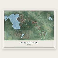
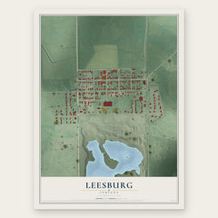
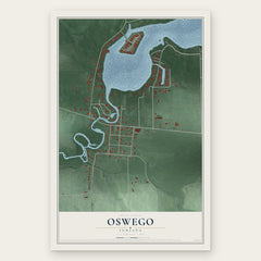
More maps nearby: Wooster, Palestine, Barbee, Hoffman Lake and Claypool.
The art of mapping a place
How This Map Was Made
Real places. Remarkable detail. Discover the layers that turn geographic data into a map of home.

The view from above
Aerial imagery reveals the character of the land: woodland, open fields, and the patterns of a place.

The shape of the land
Elevation data brings hills, valleys, and subtle changes in the landscape into view.

The details of home
Roads, waterways, and building footprints come together to make the map feel unmistakably local.

Geography becomes art
Considered color, shading, and typography bring the layers together in a map made for your wall.


Process illustrated with Mendon, Massachusetts. Aerial imagery: USDA NAIP. Terrain: USGS 3D Elevation Program. Map details and finished artwork: KNOWOL.
The Details
About This Print
Choose an archival matte print, or a black or white Ayous wood frame. The archival matte print is unframed.
Select your size and finish above to see the matching product image and price.
Materials & Craftsmanship
A contemporary map with the character of a classic atlas, printed on archival matte paper. Optional frames are made from Ayous wood.
Your printed map does not include the watermark shown in the full-map preview.
Shipping & Delivery
Free shipping within the United States. Every print is made to order in the USA.
Buying a gift? Add a note in your cart and we'll include it. We never put prices in the package.
Prints ship within 2 to 3 business days. Allow 7 to 10 days total from ordering for delivery. Timing may vary during holidays or periods of high order volume.
Read our shipping policy.
Returns and damaged prints
Each print is made to order. Change-of-mind refunds are not available after production.
If your print arrives damaged, misprinted or incorrect, contact support@knowol.com within 30 days of receiving it. Include your order number, photos and a description of the issue.
Read our full refund and replacement policy. For questions about your order, email support@knowol.com.