
Search for another town





Free U.S. delivery 7 to 10 days after you order
Warwick, Bucks County, Pennsylvania Map Art
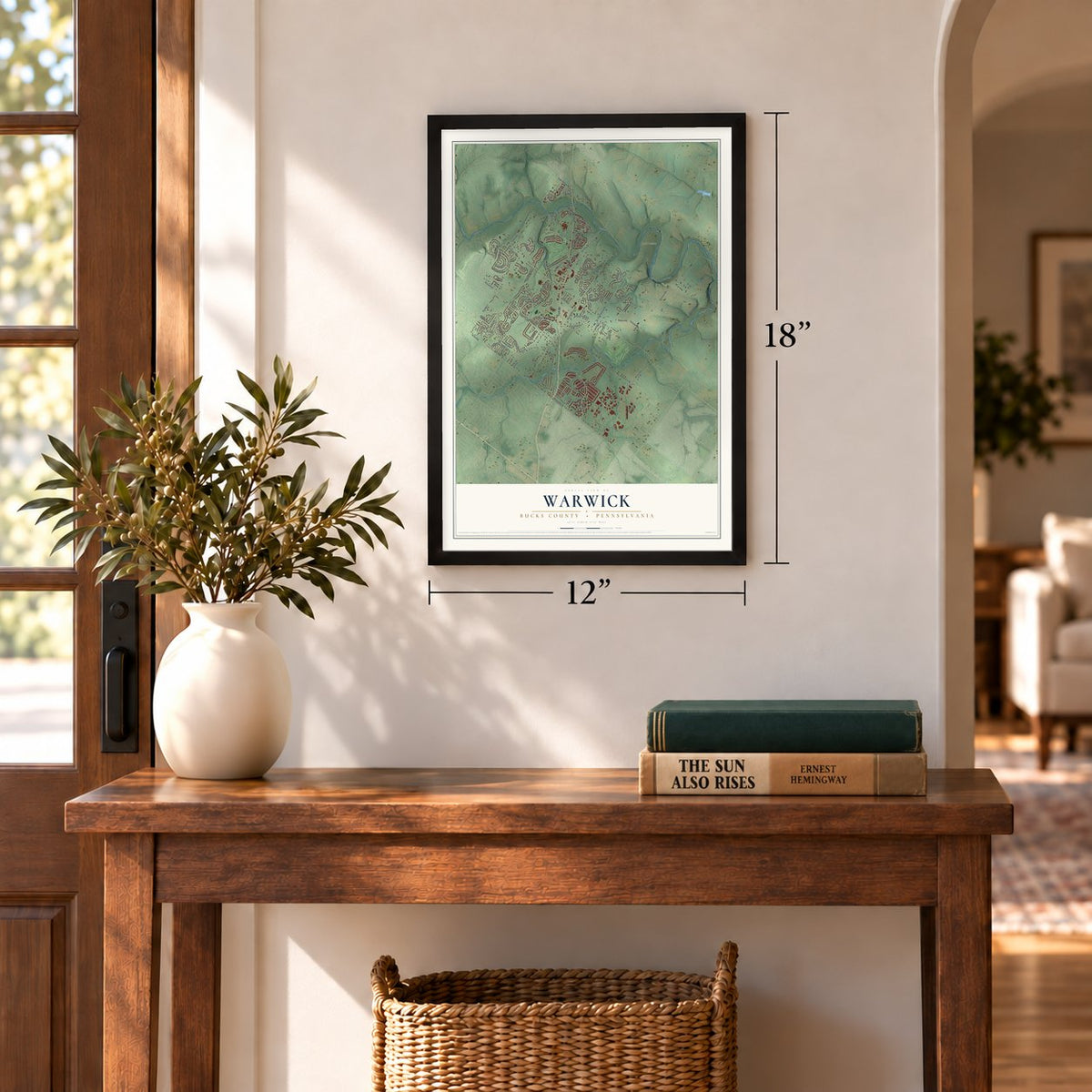
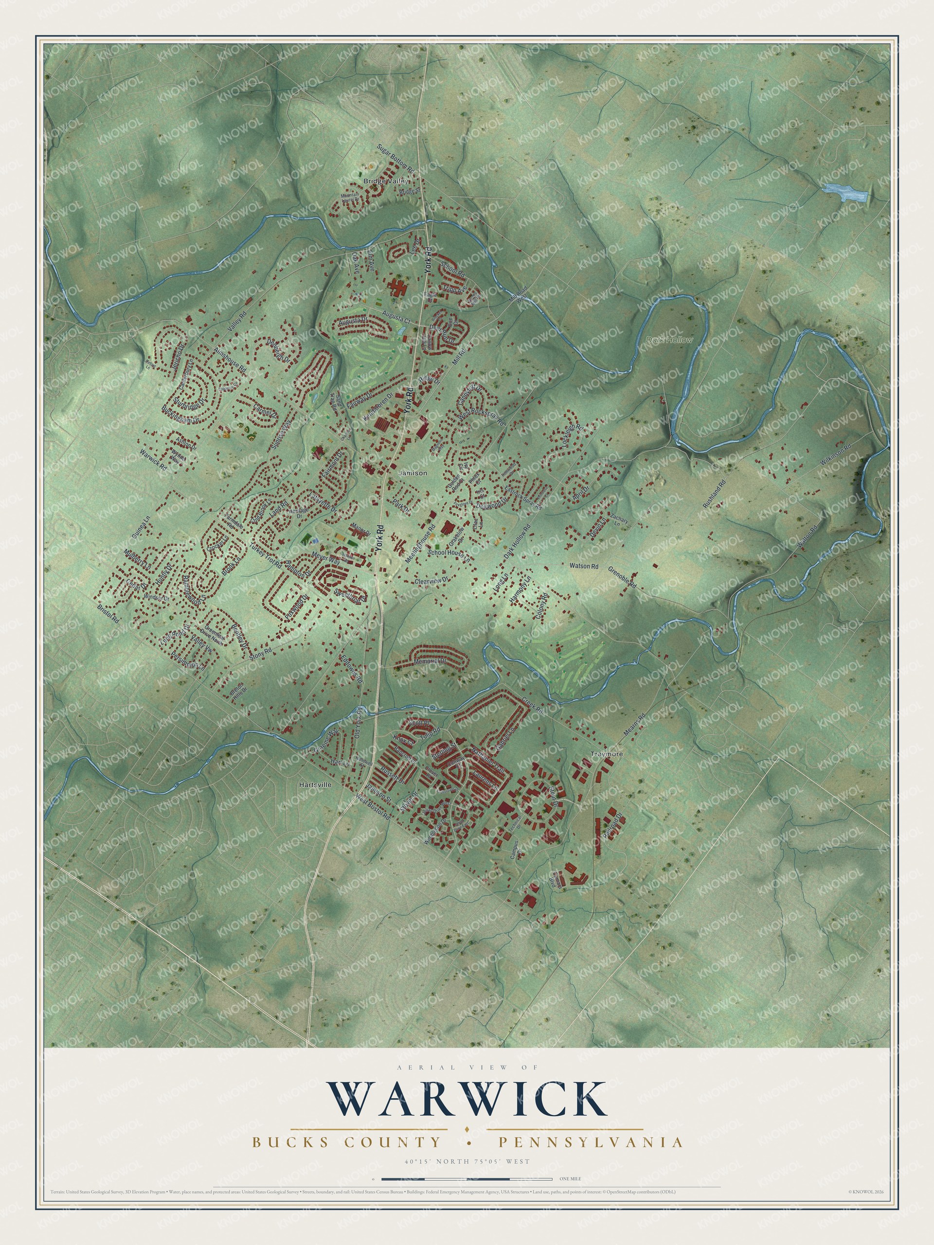
A new map of Warwick, Bucks County, Pennsylvania, made in 2026 and printed to order on thick archival matte paper.
12" x 18" Archival Matte Print
A Map of Home. A Work of Art.
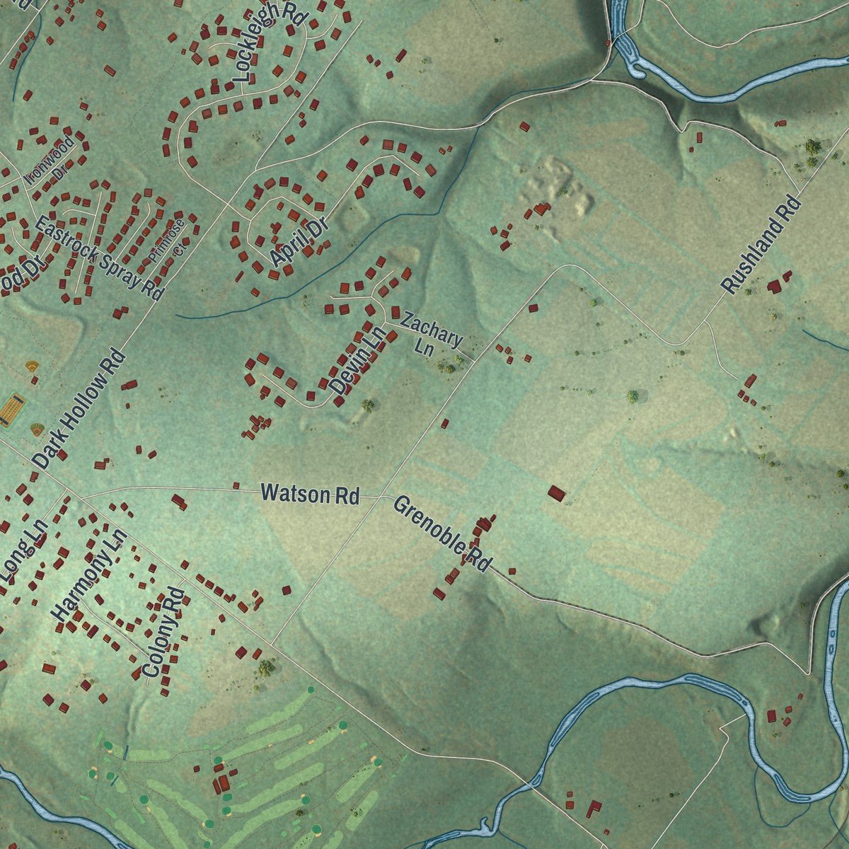
If you grew up in Jamison, Hartsville or Bridge Valley, or you still drive York Road most days, this map is for you. It's a modern aerial view of Warwick Township in Bucks County, Pennsylvania, made from modern data and given a vintage artistic feel. Zoom in on the preview and look for your block.
Three ways to hang it
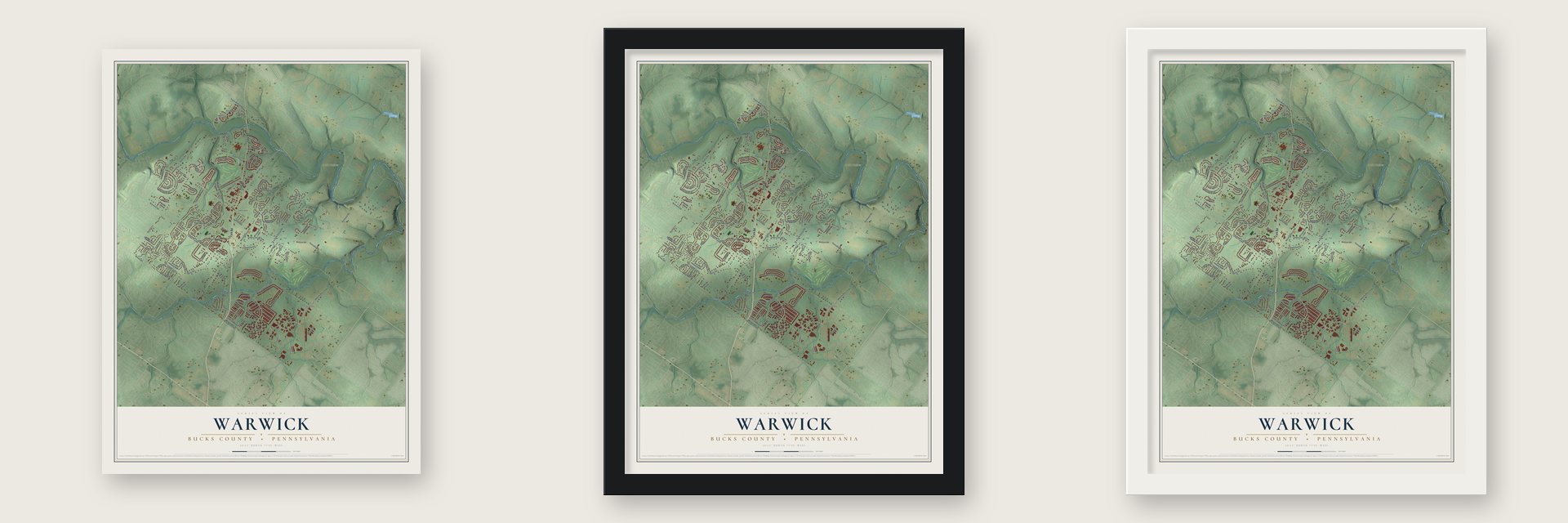
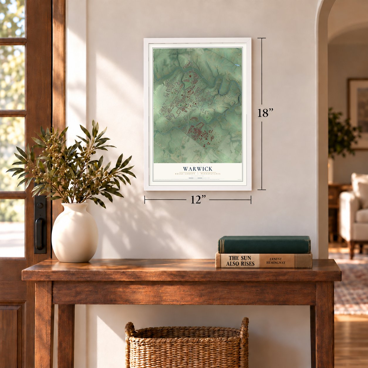
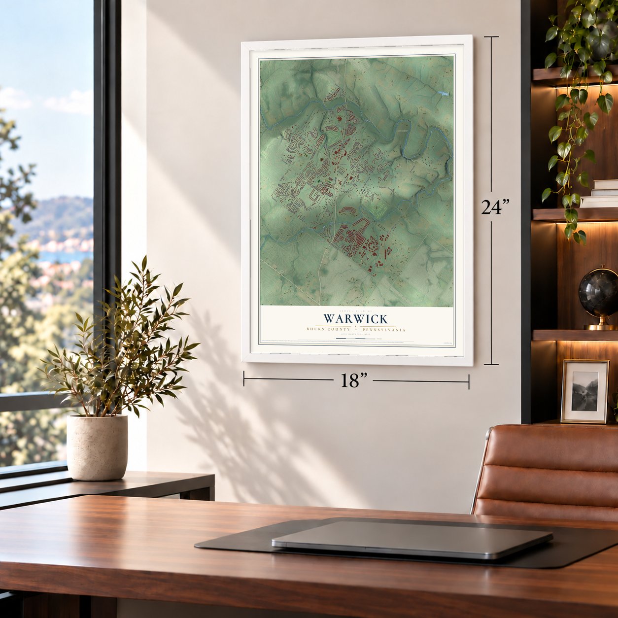
Unframed archival matte, a black wood frame or a white wood frame.
Up close
Real geography. Art worth displaying.
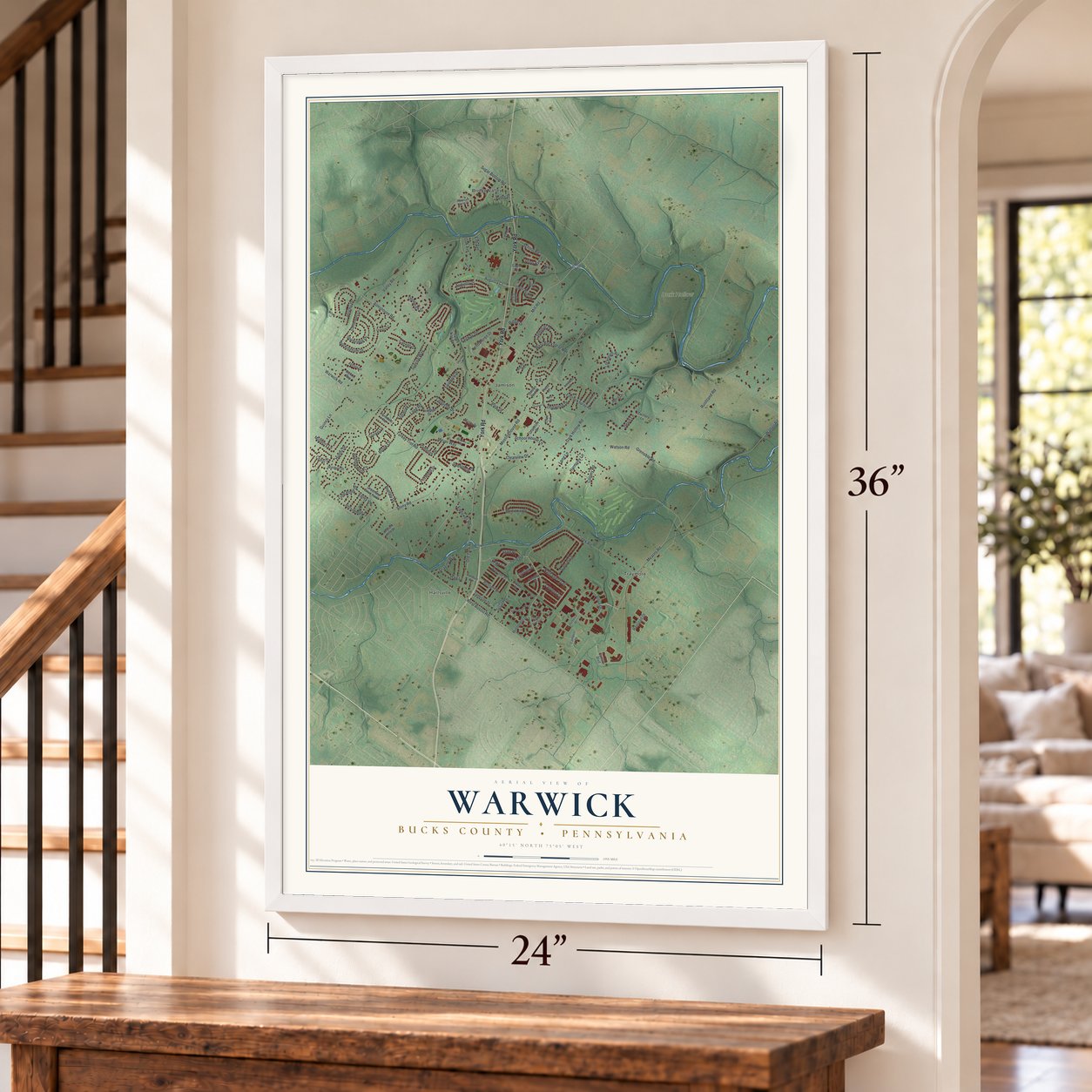
This map was created using accurate cartographic data and authoritative geographic sources, including the U.S. Geological Survey and the Census Bureau. The map brings together terrain, waterways, roads, and building detail. The majority of the streets are labeled, houses are accurately depicted, and the topography is derived from government sources. Combining local data with carefully composed color and shading leads to this beautifully detailed Warwick artwork for your wall.
Rather than simply showing street outlines, we’ve included as many of the street names as we could reasonably fit on the map while keeping their names legible. Zoom in on the high resolution preview to see exactly what’s on the map. We truly set out to create a statement piece for anyone who loves Warwick. So whether it’s for you, or a gift for someone you love, we hope this map of Warwick brings back fond memories.
Read the story behind this map of Warwick, Bucks County, Pennsylvania from 2026.
About Warwick, Bucks County, Pennsylvania
Warwick Township was once known to early settlers as the Forks of Neshaminy, reflecting its position largely between two branches of Neshaminy Creek. In 1733, twenty residents petitioned the court to establish a township named Warwick. Hartsville's Moland House later served as General Washington's headquarters during the Neshaminy encampment in August 1777.
- Forks of NeshaminyEarly settlers used the name Forks of Neshaminy because most of the area lay between two creek branches that join in the township's southeast corner.
- Township PetitionIn February 1733, twenty residents asked the court to create Warwick Township, and three petitioners belonged to the Jamison family.
- Washington's HeadquartersThe Moland House served as General Washington's headquarters from August 10 through 23, 1777, during an encampment of 11,000 troops.
- Lafayette and PulaskiLafayette first served there as a major general at an August 21 council of war, while Pulaski met Washington there for the first time.
- National RegisterThe Moland House entered the National Register in 1989 and stands at 1641 Old York Road in Hartsville.
Find your street
Names on the Warwick map
Every name below is printed on this map. Look for your street, your school, the park where you played, or the pond down the road.
Places and landmarks5
- Dark Hollow
- Bridge Valley
- Hartsville
- Jamison
- Traymore
Streets and roads129
- York Road
- Tulip Road
- Nathaniel Trail
- Russett Drive
- Ridge Drive
- Sterling Street
- Mill Road
- Deer Run Drive
- Lee Drive
- Almshouse Road
- Walton Road
- West Bristol Road
- Meetinghouse Road
- Rushland Road
- Sunrise Way
- Mearns Road
- Creek Road
- Guinea Lane
- Brook Lane
- Valley Road
- Turkey Trot Road
- Old York Road
- Dark Hollow Road
- Gabriel Lane
- Stony Road
- Meyer Way
- Sugar Bottom Road
- Memorial Drive
- Long Pond Drive
- Land Road
Show all 129 streets
- Buckingham Drive
- Bristol Road
- Dogwood Drive
- Stout Drive
- Lockleigh Road
- Jericho Drive
- Augusta Drive
- West Rockspray Road
- Kendarbren Drive
- Wilkinson Road
- Foxwood Drive
- April Drive
- School Road
- Fairmont Drive
- Fairway Drive
- Carmel Drive
- Watson Road
- Lafayette Drive
- Mulberry Lane
- Bentley Drive
- Graeme Way
- Denbeigh Drive
- Clearview Drive
- Ramblewood Lane
- Valley Vw
- Stover Drive
- Sturbridge Drive
- Candytuft Drive
- Cedar Drive
- Jamison Street
- Tripp Avenue
- Augusta Court
- Devin Lane
- Sweetbriar Drive
- Huntly Drive
- School House Lane
- Warwick Road
- Persimmon Lane
- Hampton Drive
- Grenoble Road
- Railroad Drive
- Scott Place
- Long Lane
- Hart Lane
- Eddowes Road
- Knox Court
- Laurens Lane
- Park Drive
- Colony Road
- Harmony Lane
- Oak Avenue
- Elm Avenue
- Conway Court
- Mill Road West
- Heritage Drive
- Camars Boulevard
- Fallow Hill Lane
- Canterbury Lane
- Eastrock Spray Road
- Greenleaf Drive North
- Sand Trap Road
- Manor Drive
- Wimbledon Drive
- Wynne Way
- Windsor Drive
- Campus Drive
- Cold Brook Lane
- Bancroft Place
- Zachary Lane
- Grakelow Drive
- Crocker Lane
- Ashton Drive
- Lilac Lane
- Breton Hills Drive
- Farmdale Road
- Bridge Street
- Doe Drive
- Eagle Court
- Golden Rod Court
- Clover Place
- Phlox Court
- Iris Court
- Ivy Circle
- Mountain Laurel Drive
- Julian Drive West
- Ryans Mill Road
- Technical Drive
- Hallowell Street
- Ironwood Drive
- Crossroads Drive
- Julian Drive East
- Yorktown Road
- Foxglove Drive
- Chapman Circle
- Primrose Court
- Magnolia Way
- Brocket Court
- Oxford Lane
- Charles Lane
Names are listed as they appear on the printed map. Zoom into the product photos to find them.
The art of mapping a place
How This Map Was Made
Real places. Remarkable detail. Discover the layers that turn geographic data into a map of home.

The view from above
Aerial imagery reveals the character of the land: woodland, open fields, and the patterns of a place.

The shape of the land
Elevation data brings hills, valleys, and subtle changes in the landscape into view.

The details of home
Roads, waterways, and building footprints come together to make the map feel unmistakably local.

Geography becomes art
Considered color, shading, and typography bring the layers together in a map made for your wall.


Process illustrated with Mendon, Massachusetts. Aerial imagery: USDA NAIP. Terrain: USGS 3D Elevation Program. Map details and finished artwork: KNOWOL.
The Details
About This Print
Choose an archival matte print, or a black or white Ayous wood frame. The archival matte print is unframed.
Select your size and finish above to see the matching product image and price.
Materials & Craftsmanship
A contemporary map with the character of a classic atlas, printed on archival matte paper. Optional frames are made from Ayous wood.
Your printed map does not include the watermark shown in the full-map preview.
Shipping & Delivery
Free shipping within the United States. Every print is made to order in the USA.
Buying a gift? Add a note in your cart and we'll include it. We never put prices in the package.
Prints ship within 2 to 3 business days. Allow 7 to 10 days total from ordering for delivery. Timing may vary during holidays or periods of high order volume.
Read our shipping policy.
Returns and damaged prints
Each print is made to order. Change-of-mind refunds are not available after production.
If your print arrives damaged, misprinted or incorrect, contact support@knowol.com within 30 days of receiving it. Include your order number, photos and a description of the issue.
Read our full refund and replacement policy. For questions about your order, email support@knowol.com.
Find your town
Looking for another city?
Find a map of home in our Pennsylvania collection.
Nearby
Maps of towns near Warwick
Know someone from one of these towns? Their map makes a great gift.
 Ivyland
, Pennsylvania
From $39.99See the map
 Warminster
, Pennsylvania
From $39.99See the map
 Warrington
, Bucks County, Pennsylvania
From $39.99See the map
More maps nearby: Warminster Heights, Wrightstown, Doylestown, Buckingham and Richboro.