
Search for another town
Free U.S. delivery 7 to 10 days after you order
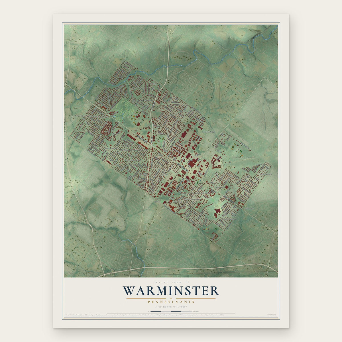
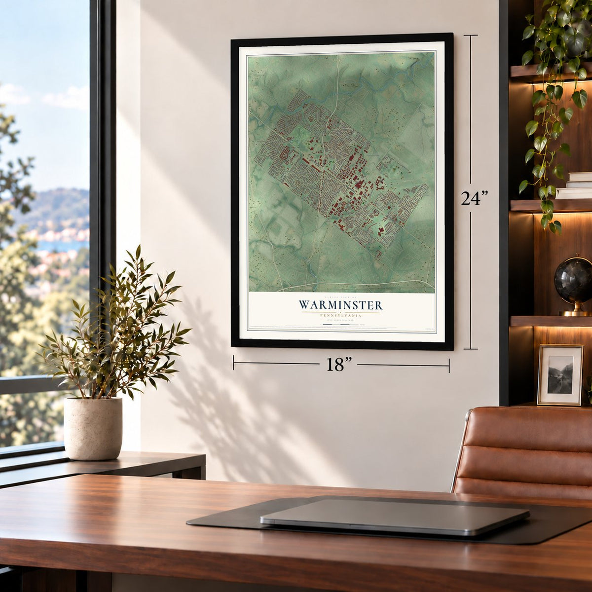
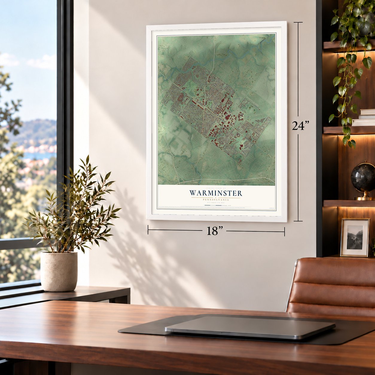
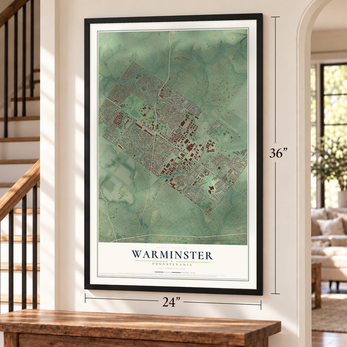
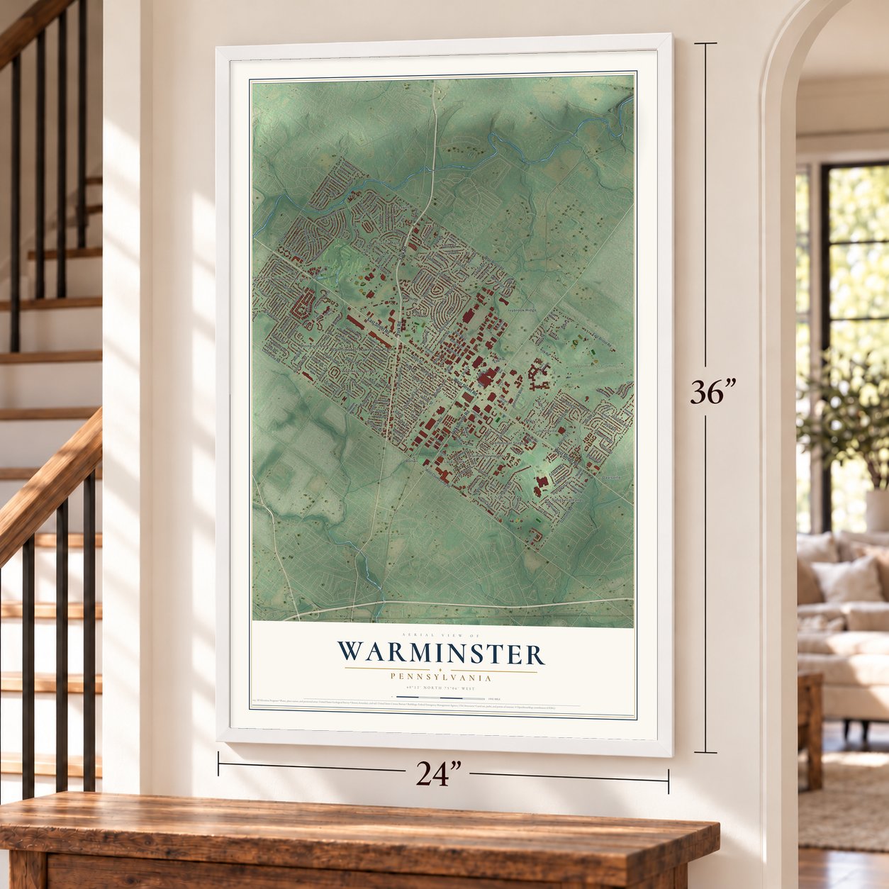
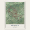
Warminster, Pennsylvania Map Art
Building by building, with labeled streets and shaded relief.
12" x 18" Archival Matte Print
A Map of Home. A Work of Art.
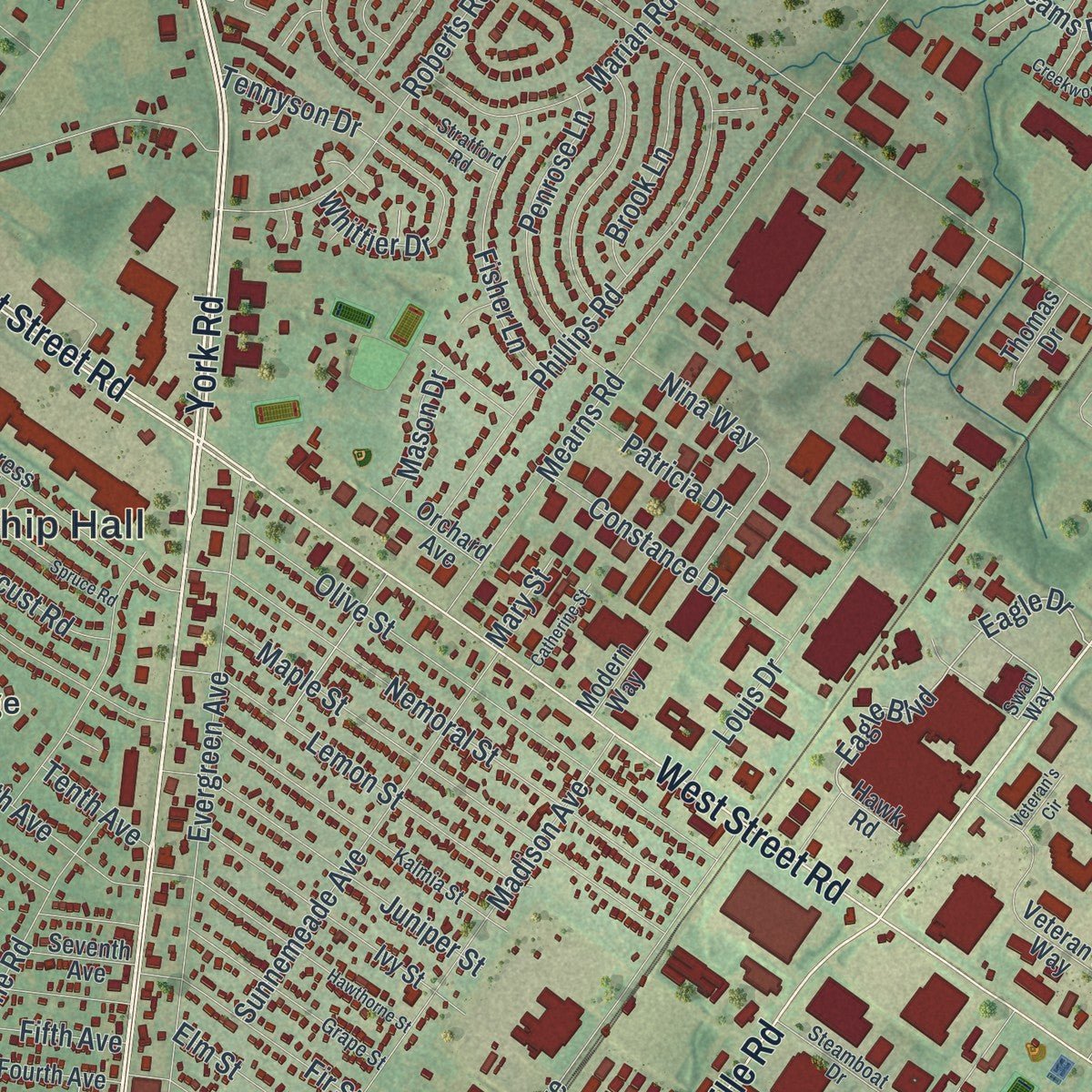
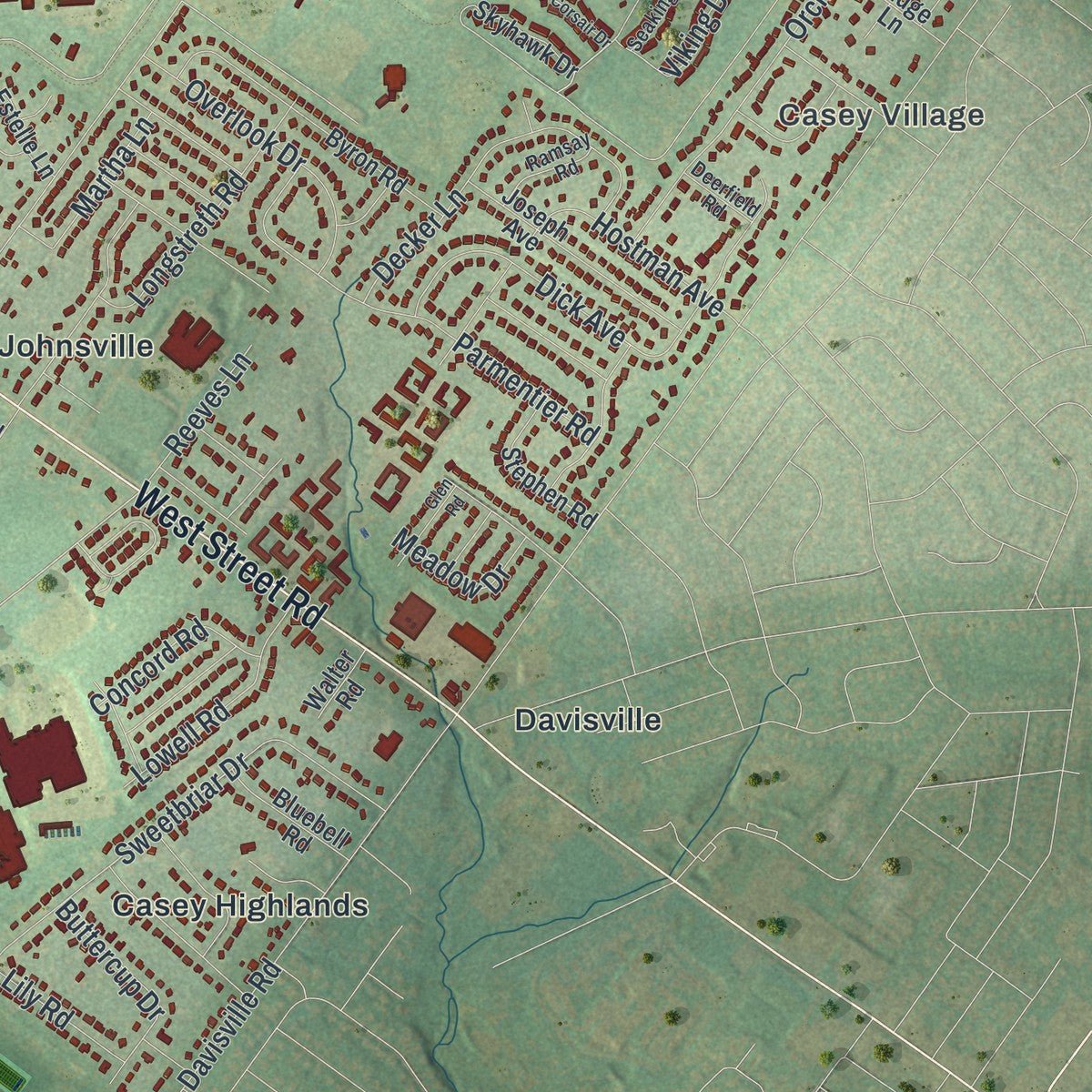
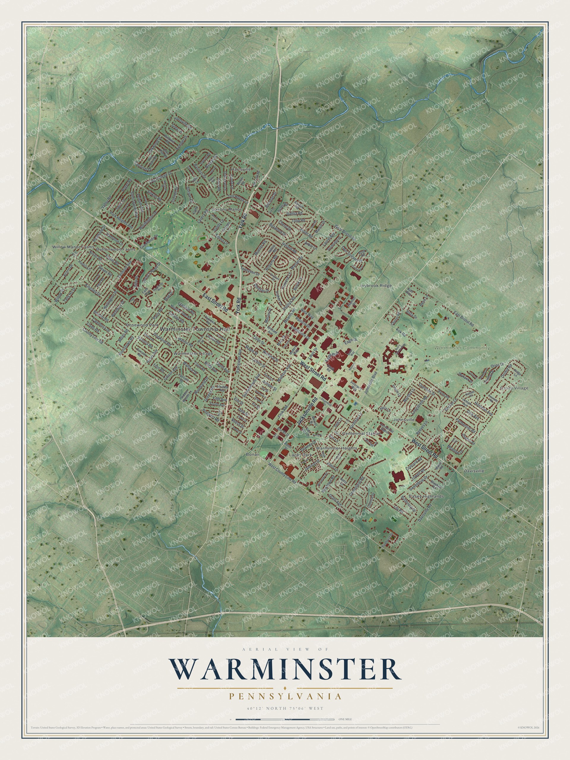
Explore Warminster, Pennsylvania from a whole new perspective. Created using aerial imagery and detailed geographic data, this map captures Warminster building by building, with labeled streets, familiar landmarks, and shaded topographical relief that highlights the natural contours of the landscape.
Combining modern data with the timeless character of a vintage atlas, this map is just as interesting up close as it is beautiful on the wall. Whether you grew up in Warminster, spent memorable years there, or call it home today, this unique map is a great way to celebrate a place that means something to you. Zoom in on the preview to look for your street, and then order a print to put your memories on the wall.
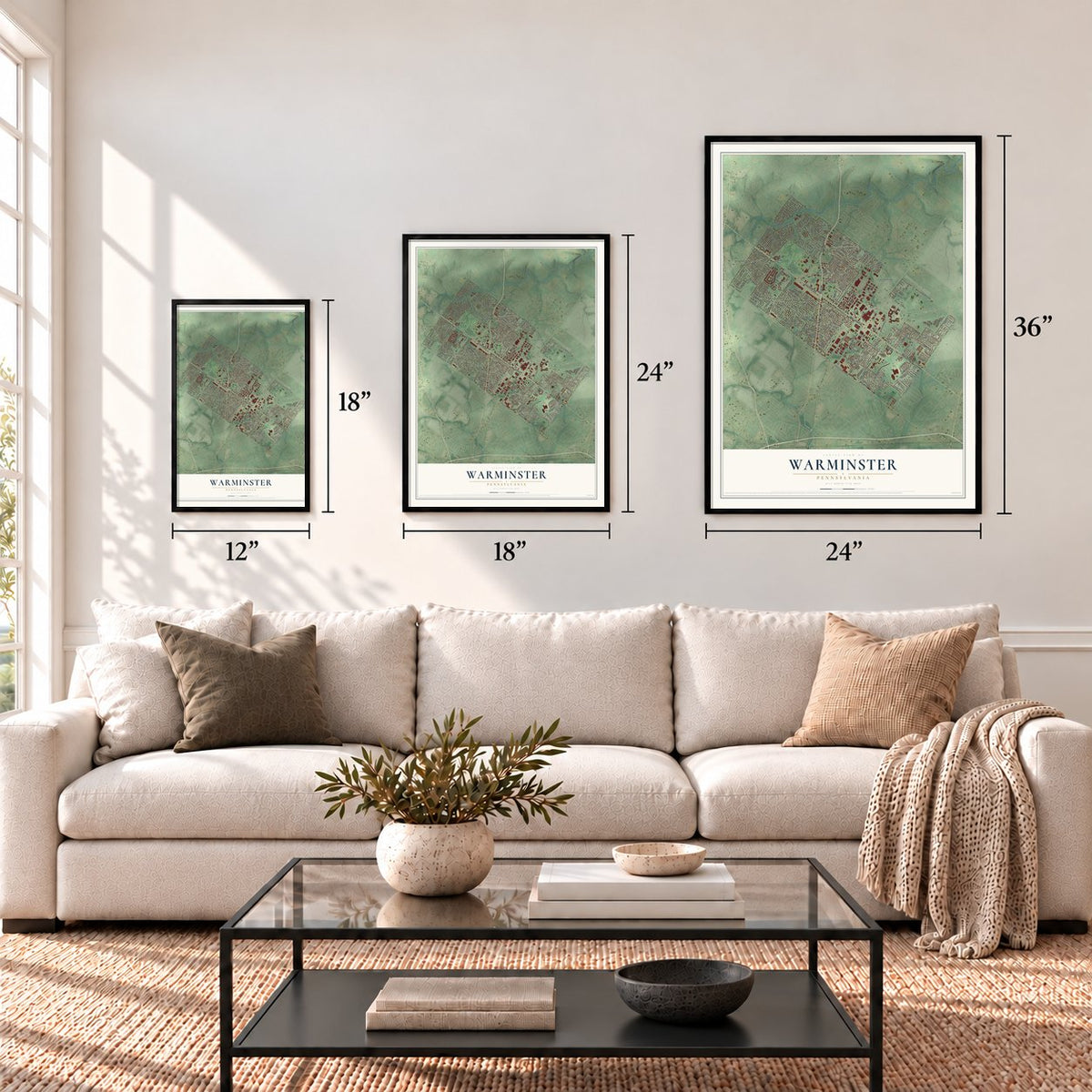
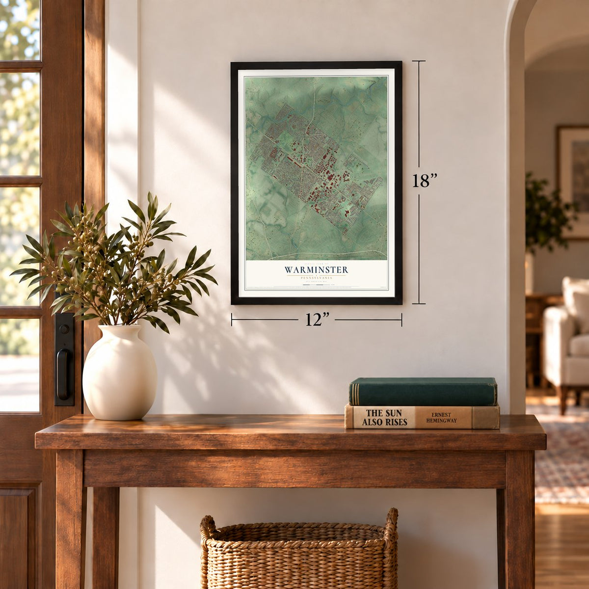
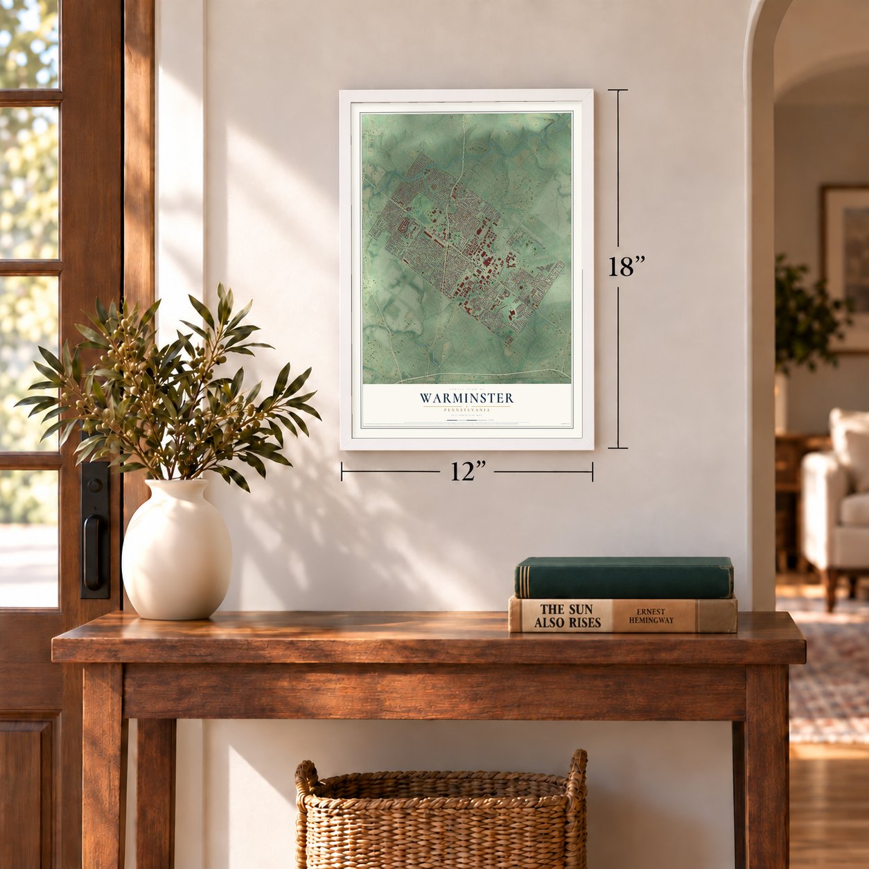
Three ways to hang it
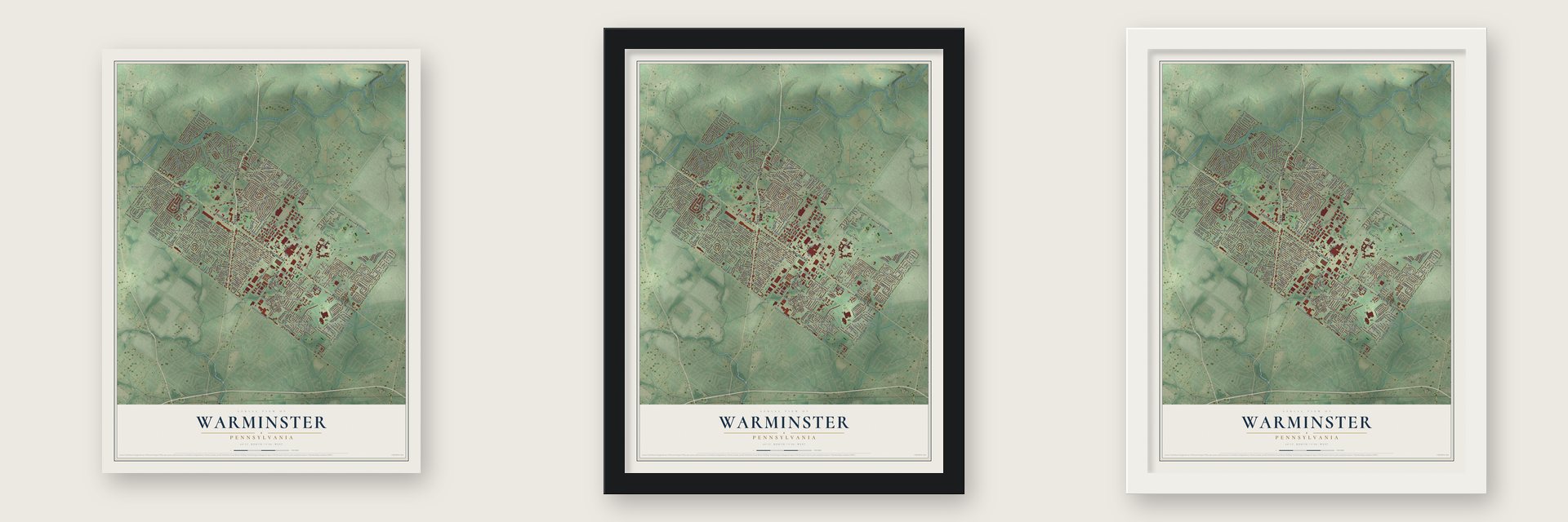
Unframed archival matte, a black wood frame or a white wood frame.
Up close
Geography Worth Displaying
This map was created using accurate cartographic data and authoritative geographic sources, including the U.S. Geological Survey and the Census Bureau. The map brings together terrain, waterways, roads, and building detail. The majority of the streets are labeled, houses are accurately depicted, and the topography is derived from government sources. Combining local data with carefully composed color and shading leads to this beautifully detailed Warminster artwork for your wall.
Rather than simply showing street outlines, we’ve included as many of the street names as we could reasonably fit on the map while keeping their names legible. Zoom in on the high resolution preview to see exactly what’s on the map. We truly set out to create a statement piece for anyone who loves Warminster. So whether it’s for you, or a gift for someone you love, we hope this map of Warminster brings back fond memories.
Read the story behind this map of Warminster, Pennsylvania from 2026.
Find your street
Names on the Warminster map
Every name below is printed on this map. Look for your street, your school, the park where you played, or the pond down the road.
Places and landmarks17
- Warminster Township Hall
- Casey Village
- Warminster Community Park
- Bonair
- Buttonwood Farms
- Casey Highlands
- Centennial Station
- Davisville
- Hartsville
- Ivybrook Ridge
- Johnsville
- Lacey Park
Show all 17 places
- Rosewood Park
- Saxony Manor
- Warminster Heights
- Warminster Village
- Willow Manor Farms
Streets and roads237
- York Road
- Jacksonville Road
- East Street Road
- West Street Road
- West County Line Road
- Eagle Drive
- Eagle Boulevard
- Johnsville Boulevard
- Centennial Road
- West Bristol Road
- Newtown Road
- Davisville Road
- Valley Road
- Norristown Road
- Ivyland Road
- Mearns Road
- Henry Avenue
- Log College Drive
- Evergreen Avenue
- East Bristol Road
- Roberts Road
- Park Avenue
- Madison Avenue
- Delmont Avenue
- Louis Drive
- Acorn Drive
- Gibson Avenue
- Greene Road
- Nemoral Street
- Olive Street
Show all 237 streets
- Phillips Road
- Worthington Drive
- Villa Drive
- Mueller Road
- Maple Street
- Dick Avenue
- Tally Ho Drive
- Sweetbriar Drive
- Victoria Road
- Parmentier Road
- Overlook Drive
- Orchid Road
- Sunnemeade Avenue
- Saint Davids Avenue
- Brennan Drive
- Kingsley Drive
- Lemon Street
- Lavera Road
- Decker Lane
- Parry Road
- Belair Road
- Cheryl Drive
- Juniper Street
- Catalpa Road
- Christ's Home Drive
- Sinkler Road
- Hostman Avenue
- Gorson Drive
- Jamison Street
- Kirk Road
- Wallace Drive
- Dahlia Road
- Barness Drive
- Orion Drive
- Kemper Drive
- Penrose Lane
- Carousel Drive
- Hopwood Drive
- Hardman Lane
- Nina Way
- Marian Road
- Foster Road
- Longstreth Road
- Willow Drive
- Pelham Avenue
- Constance Drive
- Emma Lane
- Tulip Road
- Toll House Lane
- Fisher Lane
- Deb Lane
- Roger Road
- Woodland Drive
- Twin Streams Drive
- Oakwood Drive
- Gladwyn Road
- Caledonia Drive
- Ninth Avenue
- Irma Road
- Whittier Drive
- Lowell Road
- Fir Street
- Dogwood Road
- Lily Road
- Cornell Drive
- Brook Lane
- Buttercup Drive
- Lynda Lane
- Oak Leaf Lane
- Wellington Drive
- Clyde Road
- Park Heights Avenue
- Ann Lane
- Ivers Lane
- Date Street
- Concord Road
- Prospect Road
- Hartsville Circle
- Grey Lane
- Five Ponds Drive
- Westbury Drive
- Violet Road
- Walnut Road
- Elm Street
- Boxwood Drive
- Hampton Lane
- Downey Drive
- County Line Road
- Reeves Lane
- Vista Drive
- Grant Avenue
- Patricia Drive
- Laurel Avenue
- Tennyson Drive
- Nassau Road
- Meadow Drive
- Devon Road
- Viking Drive
- Manor Drive
- Aster Road
- Harris Lane
- Locust Road
- Martha Lane
- Sandy Lane
- Mason Drive
- Fifth Avenue
- Arbor Lane
- Tenth Avenue
- Beverly Road
- Mae Drive
- Fern Road
- Allen Lane
- Beech Street
- Benn Lane
- Mary Street
- Skyhawk Drive
- Fairfield Drive
- Byron Road
- Ivy Street
- Van Horn Drive
- Nevarc Road
- Veteran's Way
- Cypress Road
- Potter Street
- Meadow Glen Road
- Joseph Avenue
- Claire Road
- Colonial Drive
- Hilltop Road
- Windmill Road
- Charter Road
- Pinehorst Drive
- Stephen Road
- Kent Road
- Fourth Avenue
- Sturbridge Drive
- Georges Lane
- Tall Oaks Drive
- Bluebell Road
- Old York Road
- Red Barn Road
- Darrah Road
- Coronet Road
- Little Lane
- Cathe Lane
- Orchard Avenue
- Deer Run Road
- Ridge Lane
- Weber Road
- Seventh Avenue
- Estelle Lane
- Bon Air Drive
- Thomas Drive
- Garden Road
- Hidden Woods Lane
- Modern Way
- Boyd Road
- Faith Way
- Alicia Lane
- Mercer Street
- Betsy Lane
- Walter Road
- Hawk Road
- Ajas Way
- Swan Way
- Ann's Choice Way
- Kalmia Street
- Stratford Road
- Woodlawn Road
- Grape Street
- Marshall Drive
- Clifford Street
- Riviera Road
- June Road
- Cedar Street
- Walk Street
- Steamboat Drive
- Seaking Drive
- Ramsay Road
- Shepherds Way
- Aspen Street
- Dixon Road
- Ferry Place
- Deerfield Road
- Ash Circle
- Florence Avenue
- Hawthorne Street
- Spruce Road
- Birch Road
- Luff Lane
- Meadowood Lane
- Chestnut Road
- Essex Road
- Harvey Road
- Creekwood Drive
- Grier Street
- Glazar Road
- Dager Road
- Catherine Street
- Glen Road
- Paul Lane
- Hope Court
- Stub Road
- Corsair Drive
- Woods Lane
- Veteran's Circle
- Carr Way
Names are listed as they appear on the printed map. Zoom into the product photos to find them.
About Warminster, Pennsylvania
Warminster is a Bucks County township formally established in 1711, though its name appeared by 1685. Long shaped by farming, it later hosted a U.S. Navy research center that operated from World War II until 1996. The 2020 census recorded 33,603 residents.
- Colonial OriginsWarminster was originally part of Southampton Township and took its name from a small town in Wiltshire, England.
- Revolutionary BattlefieldThe Battle of Crooked Billet took place in Warminster and ended in defeat for George Washington's colonial troops.
- Naval and Space ResearchThe Navy acquired a local industrial site in 1943, and the facility later supported training for the Mercury, Gemini, and Apollo programs.
- Community ParkWarminster Community Park covers 243 acres and includes more than five miles of walking trails.
- Regional Rail TerminusWarminster station is the terminus of SEPTA Regional Rail's Warminster Line into Center City Philadelphia.
Keep exploring Pennsylvania
Warminster is one of 3,725 Pennsylvania towns we've mapped. Every dot on the map is a print of its own.
The search covers every state, Pennsylvania first.
Near Warminster
Order 2 or more town maps and save 10%. Shown in the size and finish you picked above, so they hang as a set.
- Ivyland 12" x 18" / Archival Matte Print $39.99
- Warminster Heights 12" x 18" / Archival Matte Print $39.99
- Hatboro 12" x 18" / Archival Matte Print $39.99
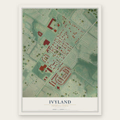
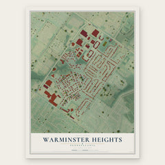
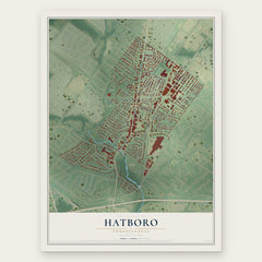
More maps nearby: Upper Moreland, Warwick, Upper Southampton, Jamison and Horsham.
The art of mapping a place
How This Map Was Made
Real places. Remarkable detail. Discover the layers that turn geographic data into a map of home.

The view from above
Aerial imagery reveals the character of the land: woodland, open fields, and the patterns of a place.

The shape of the land
Elevation data brings hills, valleys, and subtle changes in the landscape into view.

The details of home
Roads, waterways, and building footprints come together to make the map feel unmistakably local.

Geography becomes art
Considered color, shading, and typography bring the layers together in a map made for your wall.


Process illustrated with Mendon, Massachusetts. Aerial imagery: USDA NAIP. Terrain: USGS 3D Elevation Program. Map details and finished artwork: KNOWOL.
The Details
About This Print
Choose an archival matte print, or a black or white Ayous wood frame. The archival matte print is unframed.
Select your size and finish above to see the matching product image and price.
Materials & Craftsmanship
A contemporary map with the character of a classic atlas, printed on archival matte paper. Optional frames are made from Ayous wood.
Your printed map does not include the watermark shown in the full-map preview.
Shipping & Delivery
Free shipping within the United States. Every print is made to order in the USA.
Buying a gift? Add a note in your cart and we'll include it. We never put prices in the package.
Prints ship within 2 to 3 business days. Allow 7 to 10 days total from ordering for delivery. Timing may vary during holidays or periods of high order volume.
Read our shipping policy.
Returns and damaged prints
Each print is made to order. Change-of-mind refunds are not available after production.
If your print arrives damaged, misprinted or incorrect, contact support@knowol.com within 30 days of receiving it. Include your order number, photos and a description of the issue.
Read our full refund and replacement policy. For questions about your order, email support@knowol.com.