
Search for another town





Free U.S. delivery 7 to 10 days after you order
Upper Moreland, Pennsylvania Map Art
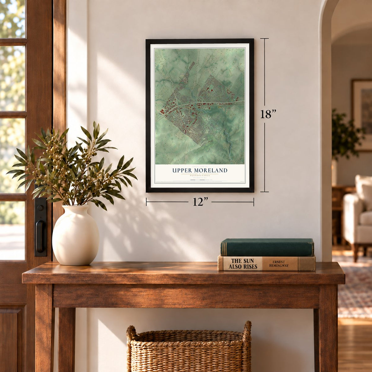
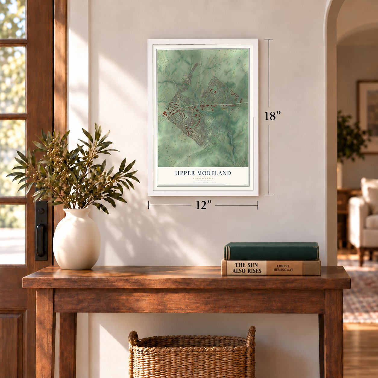
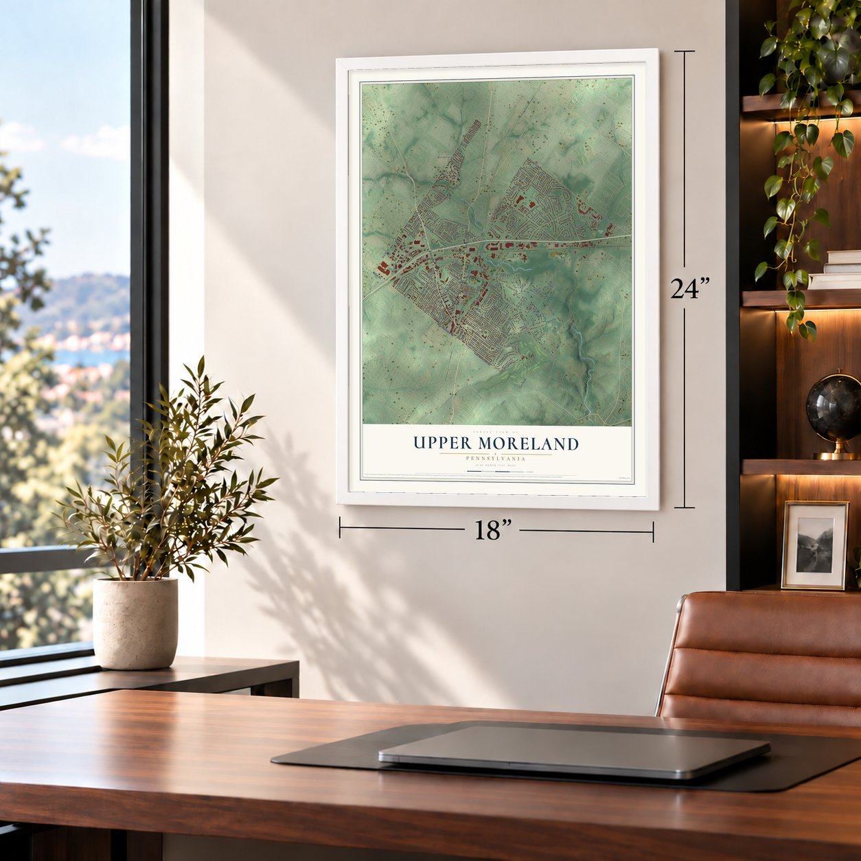
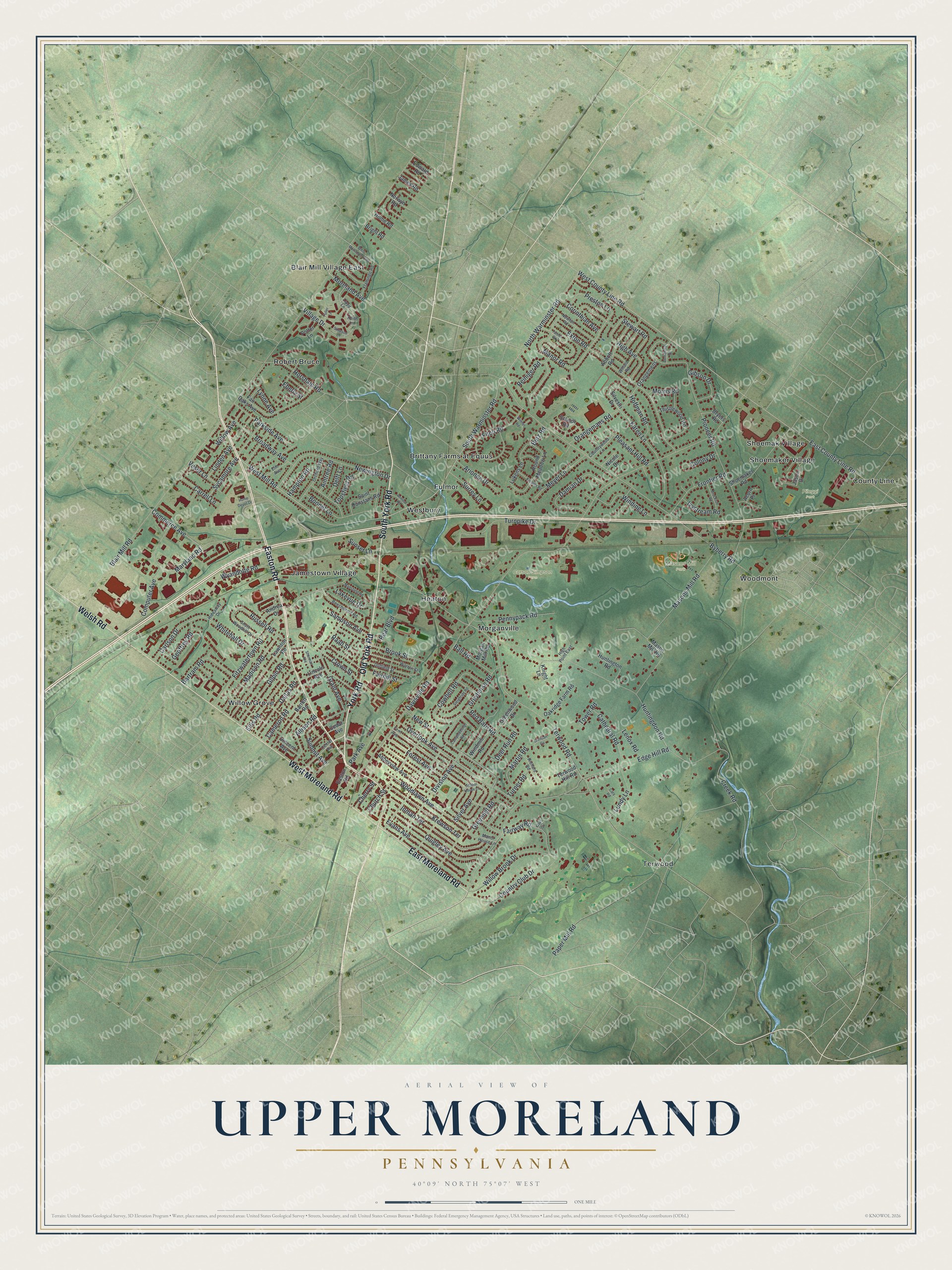
A new map of Upper Moreland, Pennsylvania, made in 2026 and printed to order on thick archival matte paper.
12" x 18" Archival Matte Print
A Map of Home. A Work of Art.
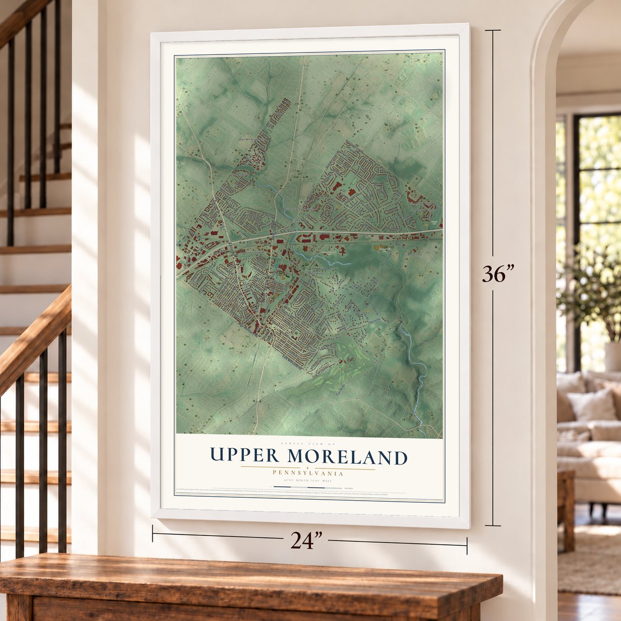
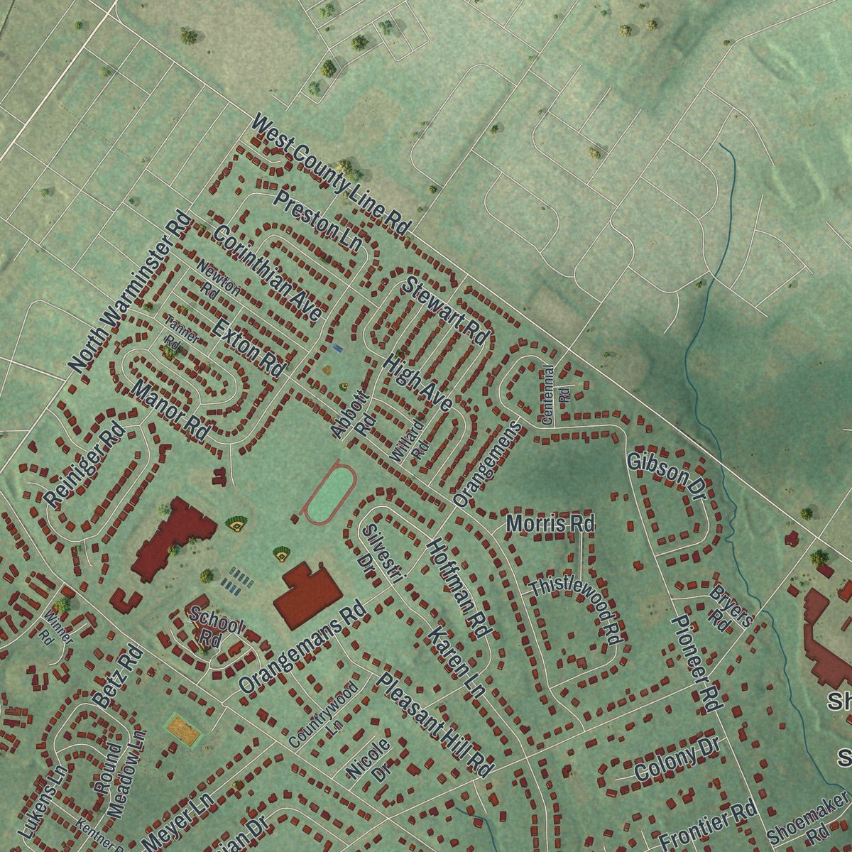
This beautifully detailed map of Upper Moreland, Pennsylvania was created in 2026 using aerial imagery combined with modern topographical, census, street and landmark data. It's a modern aerial view of Upper Moreland in Montgomery County, Pennsylvania, that combines modern data with a vintage aesthetic. Zoom in on the preview and look for your block.
Three ways to hang it
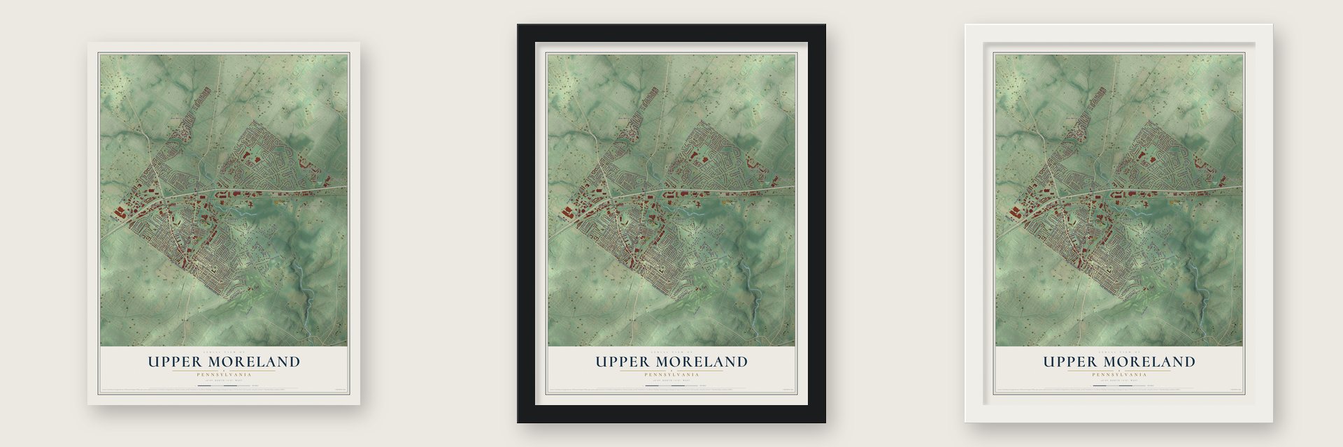
Unframed archival matte, a black wood frame or a white wood frame.
Up close
Real geography. Art worth displaying.
This map was created using accurate cartographic data and authoritative geographic sources, including the U.S. Geological Survey and the Census Bureau. The map brings together terrain, waterways, roads, and building detail. The majority of the streets are labeled, houses are accurately depicted, and the topography is derived from government sources. Combining local data with carefully composed color and shading leads to this beautifully detailed Upper Moreland artwork for your wall.
Rather than simply showing street outlines, we’ve included as many of the street names as we could reasonably fit on the map while keeping their names legible. Zoom in on the high resolution preview to see exactly what’s on the map. We truly set out to create a statement piece for anyone who loves Upper Moreland. So whether it’s for you, or a gift for someone you love, we hope this map of Upper Moreland brings back fond memories.
Read the story behind this map of Upper Moreland, Pennsylvania from 2026.

About Upper Moreland, Pennsylvania
Upper Moreland is a township in Montgomery County with 26,116 residents counted in 2020. Its documented heritage includes Underground Railroad activity, numerous historic buildings, and familiar places ranging from parks and farms to named neighborhoods.
- Population in 2020The Census Bureau recorded 26,116 people in Upper Moreland in 2020.
- Underground Railroad HistoryThomas and Hannah Atkinson joined other Upper Dublin Friends Meeting members in operating an Underground Railroad station at a neighboring farm.
- Historic BuildingsHistoric-property records identify Keswick Theatre, Lady Washington Inn, Loller Academy, Twin Trees Farm, and several other Upper Moreland buildings.
- Parks and FarmNamed local sites include Pileggi Park, Carson Simpson Farm, and Masons Mill Park.
- Local CommunitiesCounty Line, Fulmor, Heaton, Morganville, Jamestown Village, and Brittany Farms at Equus are among Upper Moreland's named places.
Find your street
Names on the Upper Moreland map
Every name below is printed on this map. Look for your street, your school, the park where you played, or the pond down the road.
Places and landmarks17
- Carson Simpson Farm
- Masons Mill Park
- Pileggi Park
- Blair Mill Village East
- Brittany Farms at Equus
- County Line
- Fulmor
- Heaton
- Jamestown Village
- Morganville
- Robert Bruce
- Shoemak Village
Show all 17 places
- Shoemaker Village
- Terwood
- Westbury
- Willow Grove
- Woodmont
Streets and roads190
- Easton Road
- Old York Road
- York Road
- South York Road
- West Moreland Road
- East Moreland Road
- Welsh Road
- South Warminster Road
- Moreland Avenue
- North Warminster Road
- West Mill Road
- Terwood Road
- Orangemans Road
- Davisville Road
- Blair Mill Road
- Byberry Road
- Huntingdon Road
- Pioneer Road
- Edge Hill Road
- West County Line Road
- Paper Mill Road
- Fitzwatertown Road
- Exton Road
- Greyhorse Road
- Maryland Road
- Division Avenue
- Bartram Road
- Overlook Avenue
- Turnpike Drive
- Preston Lane
Show all 190 streets
- East County Line Road
- Newington Drive
- Forest Avenue
- Inman Terrace
- Silver Avenue
- High Avenue
- Masons Mill Road
- Quigley Avenue
- Village Drive
- Karen Lane
- Ellis Road
- Wyandotte Road
- Reiniger Road
- Woodlawn Avenue
- Willow Brook Drive
- Gilpin Road
- Damian Drive
- Cowbell Road
- Evans Avenue
- Brook Street
- Church Street
- Madison Road
- Sycamore Avenue
- Bonnet Lane
- Country Club Drive
- Krewson Terrace
- Fairhill Street
- Linden Avenue
- Broadway Avenue
- Computer Avenue
- Summit Avenue
- Pennypack Road
- Horsham Road
- Creek Road
- Parkside Avenue
- Dallas Road
- Frontier Road
- Fairway Road
- Carlson Drive
- Winding Lane
- Meyer Lane
- Park Avenue
- Cameron Road
- Cathedral Road
- Bear Boulevard
- Hoffman Road
- Grant Avenue
- Pleasant Hill Road
- Russell Road
- Commerce Avenue
- Whitehall Drive
- Lundy Lane
- Allison Road
- Greenhill Road
- Deer Run Road
- Fitch Road
- Red Barn Road
- Crown Street
- Gibson Drive
- Corinthian Avenue
- Sampson Avenue
- Martin Road
- Manor Road
- Arionne Drive
- Lakevue Drive
- Carrell Lane
- New Street
- Willow Avenue
- Ball Road
- Topsfield Road
- Hampton Road
- Veser Lane
- Geoffrey Road
- Stewart Road
- Surrey Lane
- Ivystream Road
- Lenox Road
- Lynne Avenue
- Delft Lane
- Turner Road
- Colony Drive
- Sunset Lane
- Aintree Road
- Cherry Street
- Morris Road
- Raab Street
- Tower Road
- Eberly Street
- Betz Road
- Lawnton Road
- Shoemaker Road
- Abbeyview Avenue
- Jason Drive
- Round Meadow Lane
- Oakridge Farm Road
- Thistlewood Road
- Fair Oaks Avenue
- Barrett Road
- Lukens Lane
- Abbott Road
- Silvestri Drive
- Saint Dunstans Road
- Huntington Road
- Cedar Avenue
- Greenwood Drive
- Windmill Road
- Orangemens
- Acorn Place
- School Road
- Morgan Mill Road
- Mason Mill Road
- Lincoln Avenue
- Potter Lane
- Andrea Drive
- Vincent Avenue
- Bryers Road
- Edward Road
- James Road
- Norwyn Road
- Home Road
- Bright Road
- Terwood Hill Road
- Knight Lane
- Nicole Drive
- Fern Avenue
- Duffield Street
- Warren Street
- Newton Road
- Orchard Way
- Beechwood Road
- South Woodhill Drive
- Center Avenue
- Willard Road
- Flamingo Road
- Manor House Lane
- Countrywood Lane
- Richard Road
- Elm Avenue
- High Point East
- Hideaway Drive
- Keith Lane
- Lloyd Lane
- School House Lane
- Tanner Road
- Sleighride Road
- Mansfield Road
- West Monument Avenue
- Brendan Circle
- Brockton Road
- Kentner Road
- Sherman Avenue
- Campmeeting Road
- Simpson Lane
- Centennial Road
- Armour Road
- Winner Road
- Fuller Lane
- Cary Road
- Home Depot Drive
- Oaks Circle
Names are listed as they appear on the printed map. Zoom into the product photos to find them.
The art of mapping a place
How This Map Was Made
Real places. Remarkable detail. Discover the layers that turn geographic data into a map of home.

The view from above
Aerial imagery reveals the character of the land: woodland, open fields, and the patterns of a place.

The shape of the land
Elevation data brings hills, valleys, and subtle changes in the landscape into view.

The details of home
Roads, waterways, and building footprints come together to make the map feel unmistakably local.

Geography becomes art
Considered color, shading, and typography bring the layers together in a map made for your wall.


Process illustrated with Mendon, Massachusetts. Aerial imagery: USDA NAIP. Terrain: USGS 3D Elevation Program. Map details and finished artwork: KNOWOL.
The Details
About This Print
Choose an archival matte print, or a black or white Ayous wood frame. The archival matte print is unframed.
Select your size and finish above to see the matching product image and price.
Materials & Craftsmanship
A contemporary map with the character of a classic atlas, printed on archival matte paper. Optional frames are made from Ayous wood.
Your printed map does not include the watermark shown in the full-map preview.
Shipping & Delivery
Free shipping within the United States. Every print is made to order in the USA.
Buying a gift? Add a note in your cart and we'll include it. We never put prices in the package.
Prints ship within 2 to 3 business days. Allow 7 to 10 days total from ordering for delivery. Timing may vary during holidays or periods of high order volume.
Read our shipping policy.
Returns and damaged prints
Each print is made to order. Change-of-mind refunds are not available after production.
If your print arrives damaged, misprinted or incorrect, contact support@knowol.com within 30 days of receiving it. Include your order number, photos and a description of the issue.
Read our full refund and replacement policy. For questions about your order, email support@knowol.com.
Find your town
Looking for another city?
Find a map of home in our Pennsylvania collection.
Nearby
Maps of towns near Upper Moreland
Know someone from one of these towns? Their map makes a great gift.
 Willow Grove
, Pennsylvania
From $39.99See the map
 Hatboro
, Pennsylvania
From $39.99See the map
 Bryn Athyn
, Pennsylvania
From $39.99See the map
More maps nearby: Warminster Heights, Roslyn, Lower Moreland, Abington and Warminster.