
Search for another town
Free U.S. delivery 7 to 10 days after you order
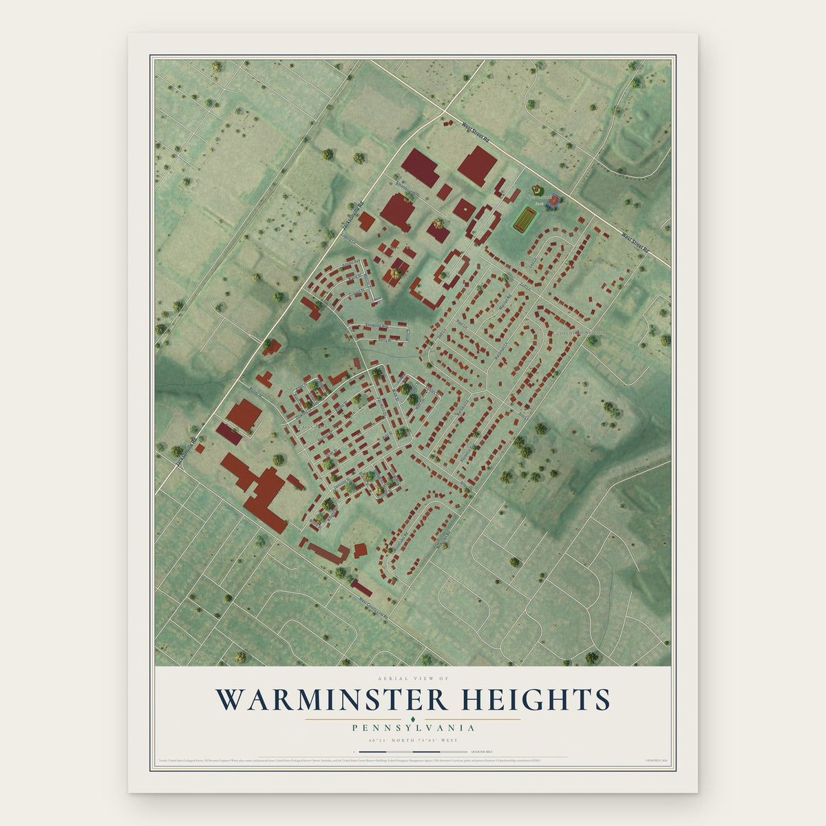
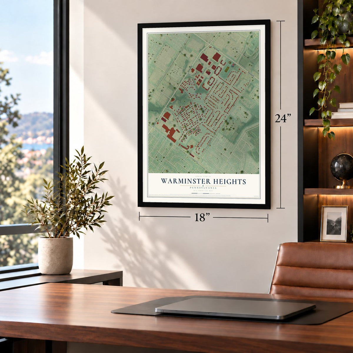
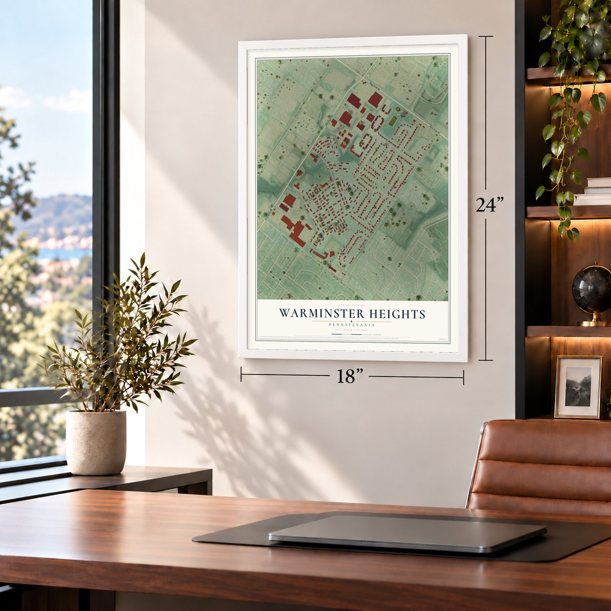
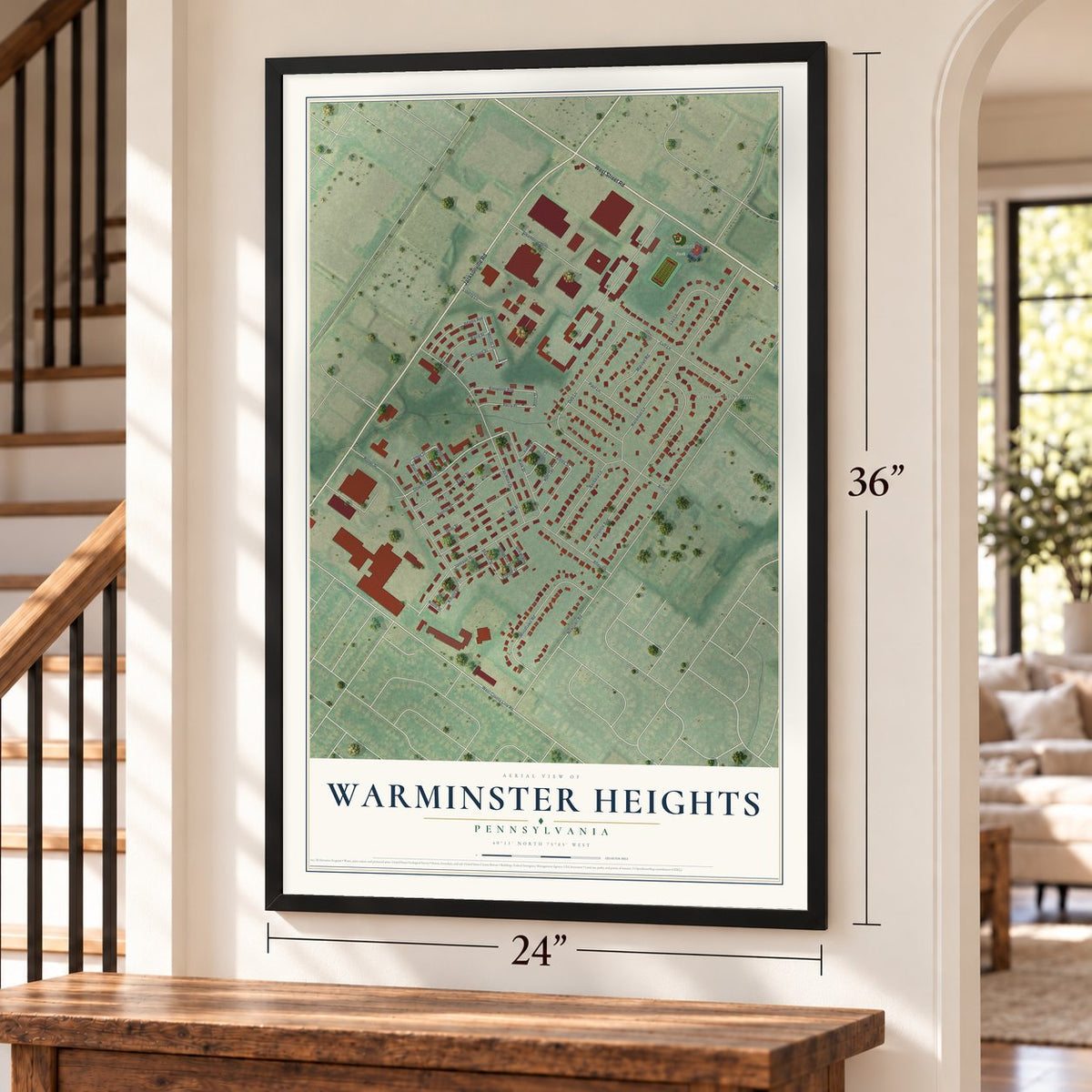
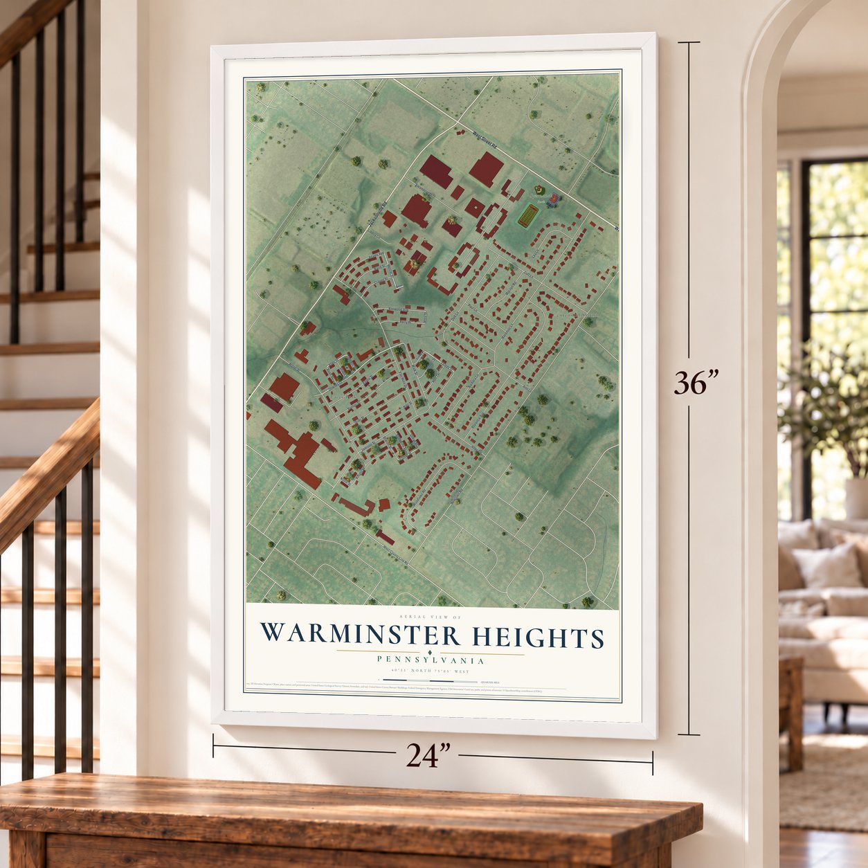
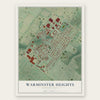
Warminster Heights, Pennsylvania Map Art
Building by building, with labeled streets and shaded relief.
12" x 18" Archival Matte Print
A Map of Home. A Work of Art.
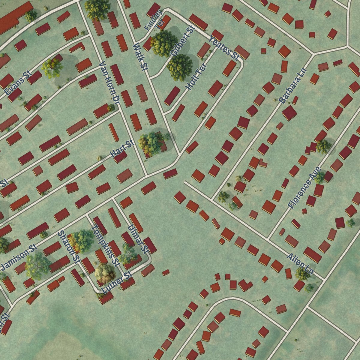
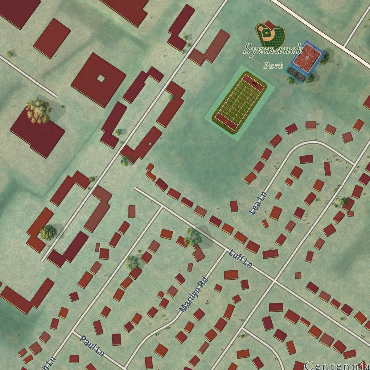
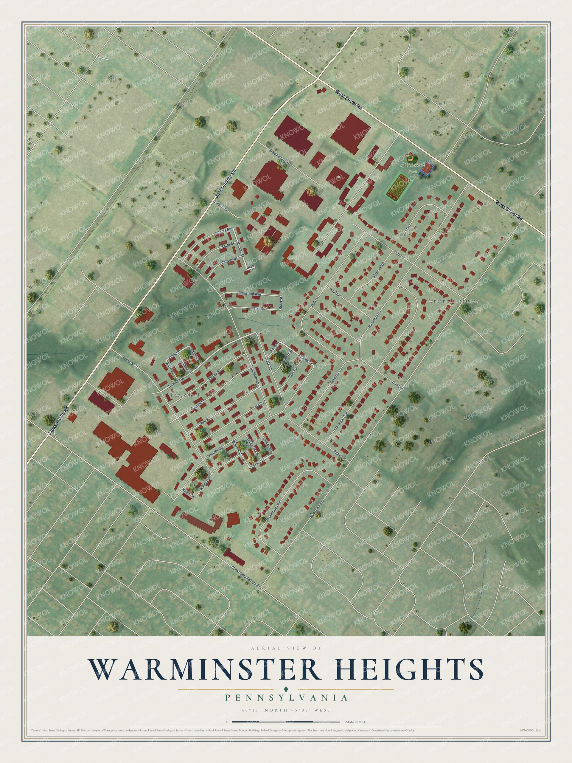
Explore Warminster Heights, Pennsylvania from a whole new perspective. Created using aerial imagery and detailed geographic data, this map captures Warminster Heights building by building, with labeled streets, familiar landmarks, and shaded topographical relief that highlights the natural contours of the landscape.
Combining modern data with the timeless character of a vintage atlas, this map is just as interesting up close as it is beautiful on the wall. Whether you grew up in Warminster Heights, spent memorable years there, or call it home today, this unique map is a great way to celebrate a place that means something to you. Zoom in on the preview to look for your street, and then order a print to put your memories on the wall.
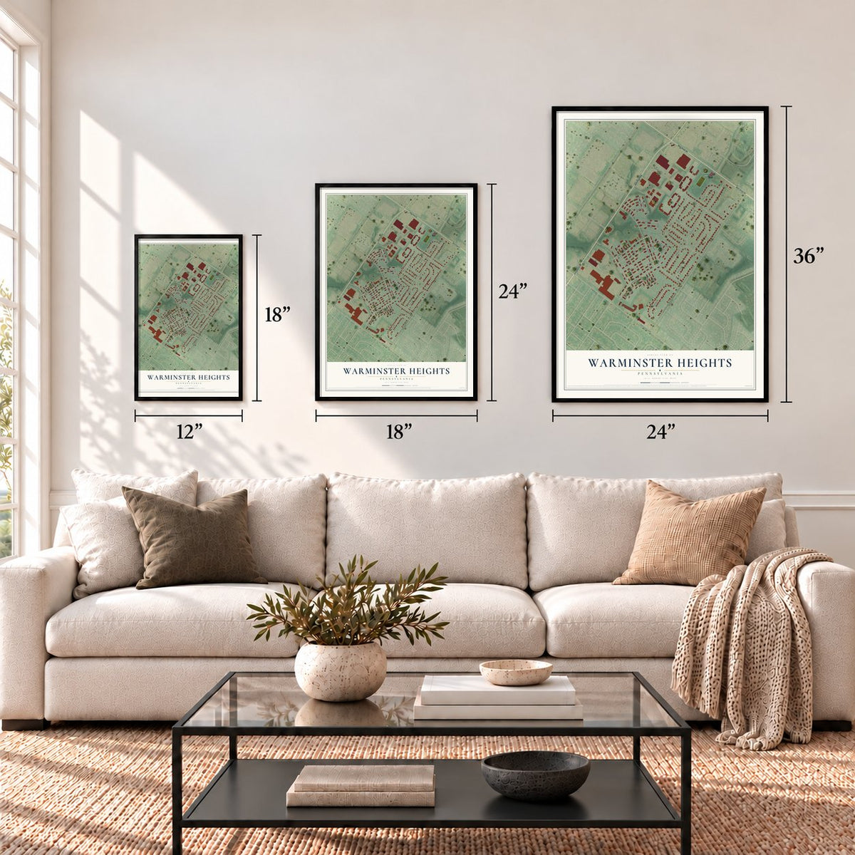
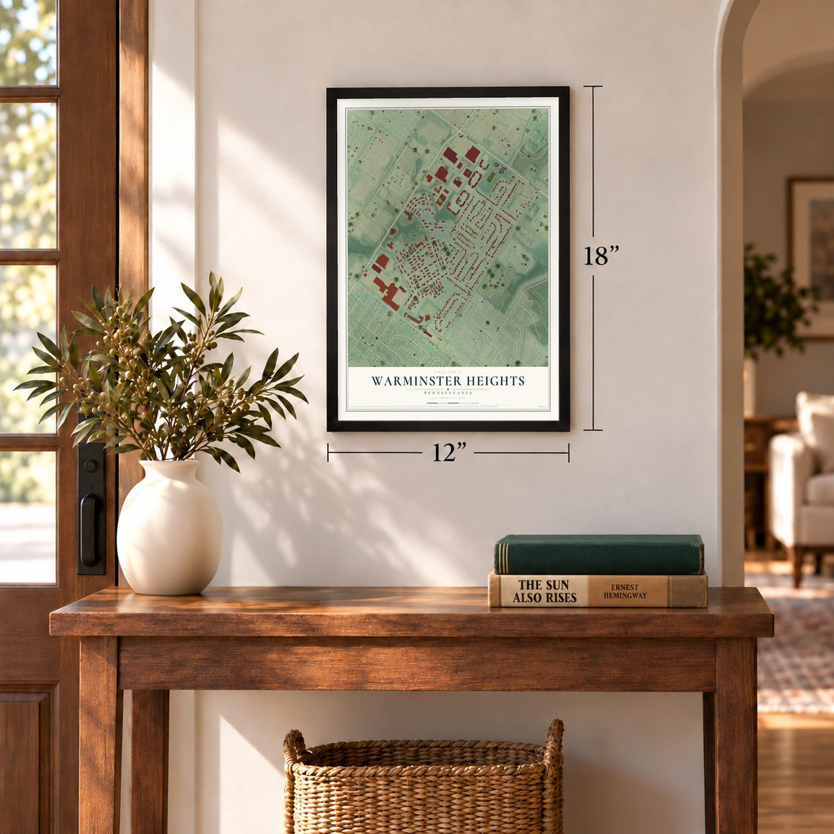
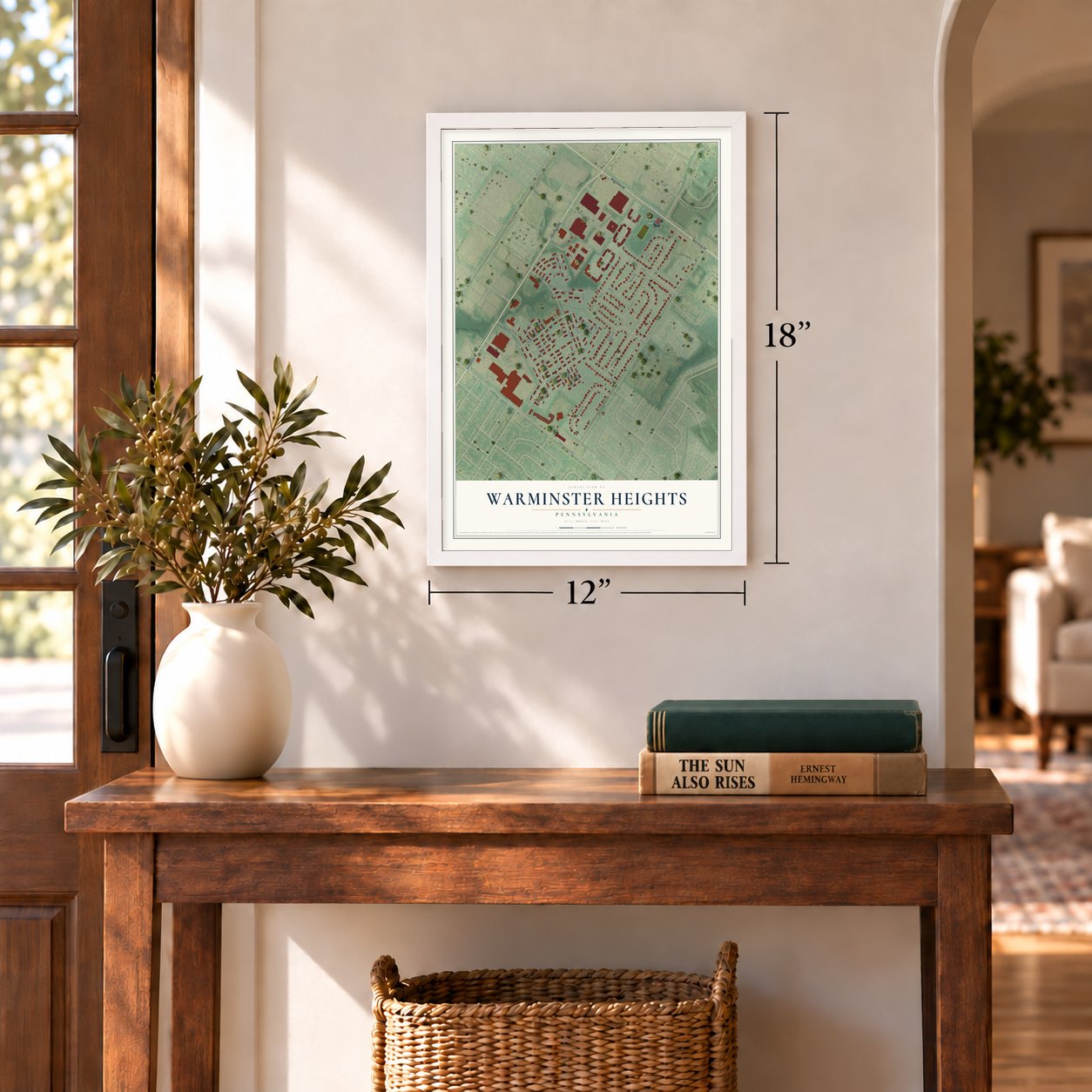
Three ways to hang it
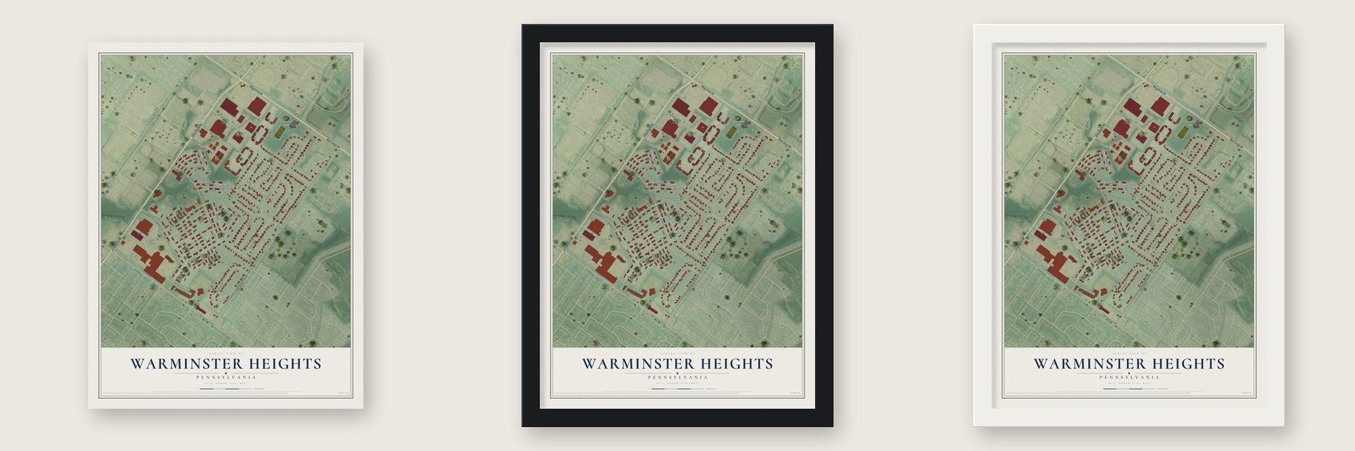
Unframed archival matte, a black wood frame or a white wood frame.
Up close
Geography Worth Displaying
This map was created using accurate cartographic data and authoritative geographic sources, including the U.S. Geological Survey and the Census Bureau. The map brings together terrain, waterways, roads, and building detail. The majority of the streets are labeled, houses are accurately depicted, and the topography is derived from government sources. Combining local data with carefully composed color and shading leads to this beautifully detailed Warminster Heights artwork for your wall.
Rather than simply showing street outlines, we’ve included as many of the street names as we could reasonably fit on the map while keeping their names legible. Zoom in on the high resolution preview to see exactly what’s on the map. We truly set out to create a statement piece for anyone who loves Warminster Heights. So whether it’s for you, or a gift for someone you love, we hope this map of Warminster Heights brings back fond memories.
Read the story behind this map of Warminster Heights, Pennsylvania from 2026.
Find your street
Names on the Warminster Heights map
Every name below is printed on this map. Look for your street, your school, the park where you played, or the pond down the road.
Places and landmarks3
- Syzmanek Park
- Lacey Park
- Centennial Station
Streets and roads48
- Jacksonville Road
- West Street Road
- Downey Drive
- Mercer Street
- Yeates Street
- Luther Street
- Allen Street
- Ross Street
- Newtown Road
- West County Line Road
- Jamison Street
- Florence Avenue
- Hardman Lane
- Van Horn Drive
- Deb Lane
- Potter Street
- Woodlawn Road
- Luff Lane
- Ann Lane
- Fenton Street
- Barbara Lane
- Evans Street
- Grier Street
- Hart Street
- Walk Street
- Steamboat Drive
- Allen Lane
- Marilyn Road
- Knight Street
- Lea Lane
Show all 48 streets
- Adams Avenue
- Elmwood Avenue
- Paul Lane
- Baird Street
- Ferry Place
- Craven Street
- Holt Terrace
- Liberty Lane
- Tompkins Street
- Ulmar Street
- Gilbert Street
- Sharon Street
- Shield Street
- Rush Street
- Tennent Street
- Noble Street
- Findley Terrace
- Dean Street
Names are listed as they appear on the printed map. Zoom into the product photos to find them.
About Warminster Heights, Pennsylvania
Warminster Heights is a community of 4,010 people in Warminster Township, Bucks County, right next to Hatboro. It began in late 1943, when a war housing project rose on the old Finney farm to shelter people who built airplanes at the Brewster Aeronautical Corporation's plant in Johnsville. The project was called Lacey Park, and many longtime residents still use that name.
Planners laid out 1,200 homes, a water pumping station and recreation grounds, plus two day nurseries and a school built to hold 600 pupils. Most houses were cinder block set on slabs, grouped four to a building in one or two stories, much like Philadelphia row homes. They were supposed to be temporary, yet many of them still stand today with families living in them.
- Named for General John LaceyThe project took its name from John Lacey, the Pennsylvania militia general who led the troops at the Battle of Crooked Billet during the Revolutionary War. That fight took place near the neighborhood. Lacey Park became Warminster Heights in the 1960s, but many older residents still prefer the first name.
- A ghost town in 1945Federal housing officials praised Lacey Park as prettier than Fairlington and McLean Gardens and the best project of its kind in the country. Then the Navy canceled its contract with Brewster, and the Federal Public Housing Authority ordered 900 of the 1,200 homes padlocked and held on standby. The Washington Post reported the news under a headline calling it a ghost town.
- From air base to closingBrewster was founded in 1941, when the area still went by Johnsville. Its plant later became the Johnsville Naval Air Base, then the Naval Air Development Center, and finally the Naval Air Warfare Center's Aircraft Division at Warminster. The federal government closed it in the mid-1990s.
- Owned by residents since 1986Private owners held the homes from 1957 to 1975, when the Redevelopment Authority of Bucks County took over their management. In 1986 the properties passed to a housing cooperative, the Warminster Heights Home Owners' Association, which then started renovating the units.
Keep exploring Pennsylvania
Warminster Heights is one of 3,725 Pennsylvania towns we've mapped. Every dot on the map is a print of its own.
The search covers every state, Pennsylvania first.
Near Warminster Heights
Order 2 or more town maps and save 10%. Shown in the size and finish you picked above, so they hang as a set.
- Warminster 12" x 18" / Archival Matte Print $39.99
- Hatboro 12" x 18" / Archival Matte Print $39.99
- Ivyland 12" x 18" / Archival Matte Print $39.99
More maps nearby: Upper Moreland, Upper Southampton, Willow Grove, Bryn Athyn and Warwick.
The art of mapping a place
How This Map Was Made
Real places. Remarkable detail. Discover the layers that turn geographic data into a map of home.

The view from above
Aerial imagery reveals the character of the land: woodland, open fields, and the patterns of a place.

The shape of the land
Elevation data brings hills, valleys, and subtle changes in the landscape into view.

The details of home
Roads, waterways, and building footprints come together to make the map feel unmistakably local.

Geography becomes art
Considered color, shading, and typography bring the layers together in a map made for your wall.


Process illustrated with Mendon, Massachusetts. Aerial imagery: USDA NAIP. Terrain: USGS 3D Elevation Program. Map details and finished artwork: KNOWOL.
The Details
About This Print
Choose an archival matte print, or a black or white Ayous wood frame. The archival matte print is unframed.
Select your size and finish above to see the matching product image and price.
Materials & Craftsmanship
A contemporary map with the character of a classic atlas, printed on archival matte paper. Optional frames are made from Ayous wood.
Your printed map does not include the watermark shown in the full-map preview.
Shipping & Delivery
Free shipping within the United States. Every print is made to order in the USA.
Buying a gift? Add a note in your cart and we'll include it. We never put prices in the package.
Prints ship within 2 to 3 business days. Allow 7 to 10 days total from ordering for delivery. Timing may vary during holidays or periods of high order volume.
Read our shipping policy.
Returns and damaged prints
Each print is made to order. Change-of-mind refunds are not available after production.
If your print arrives damaged, misprinted or incorrect, contact support@knowol.com within 30 days of receiving it. Include your order number, photos and a description of the issue.
Read our full refund and replacement policy. For questions about your order, email support@knowol.com.