
Search for another town

Free U.S. delivery 7 to 10 days after you order
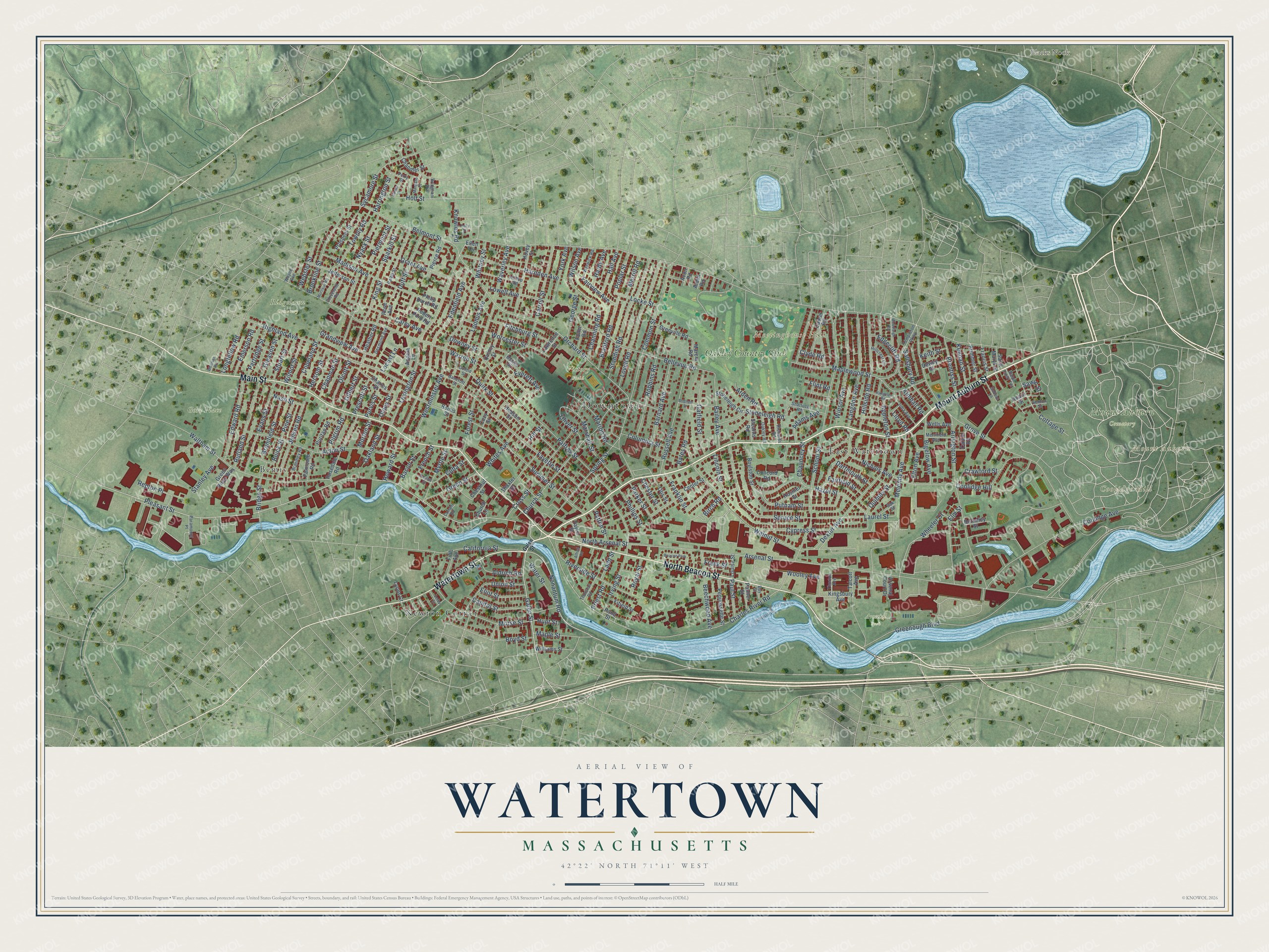
Watertown, Massachusetts Map Art
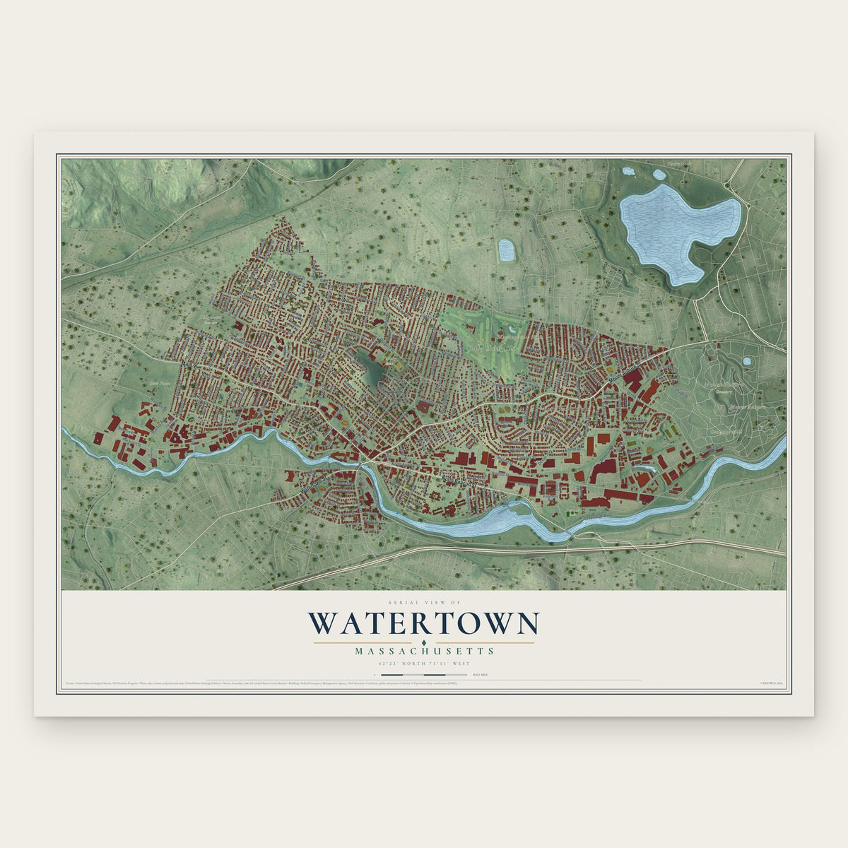
Building by building, with labeled streets and shaded relief.
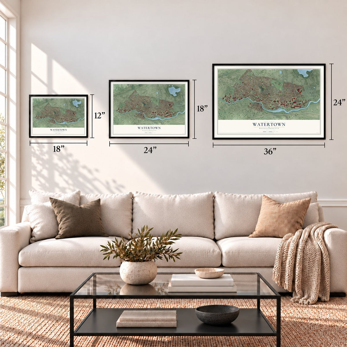
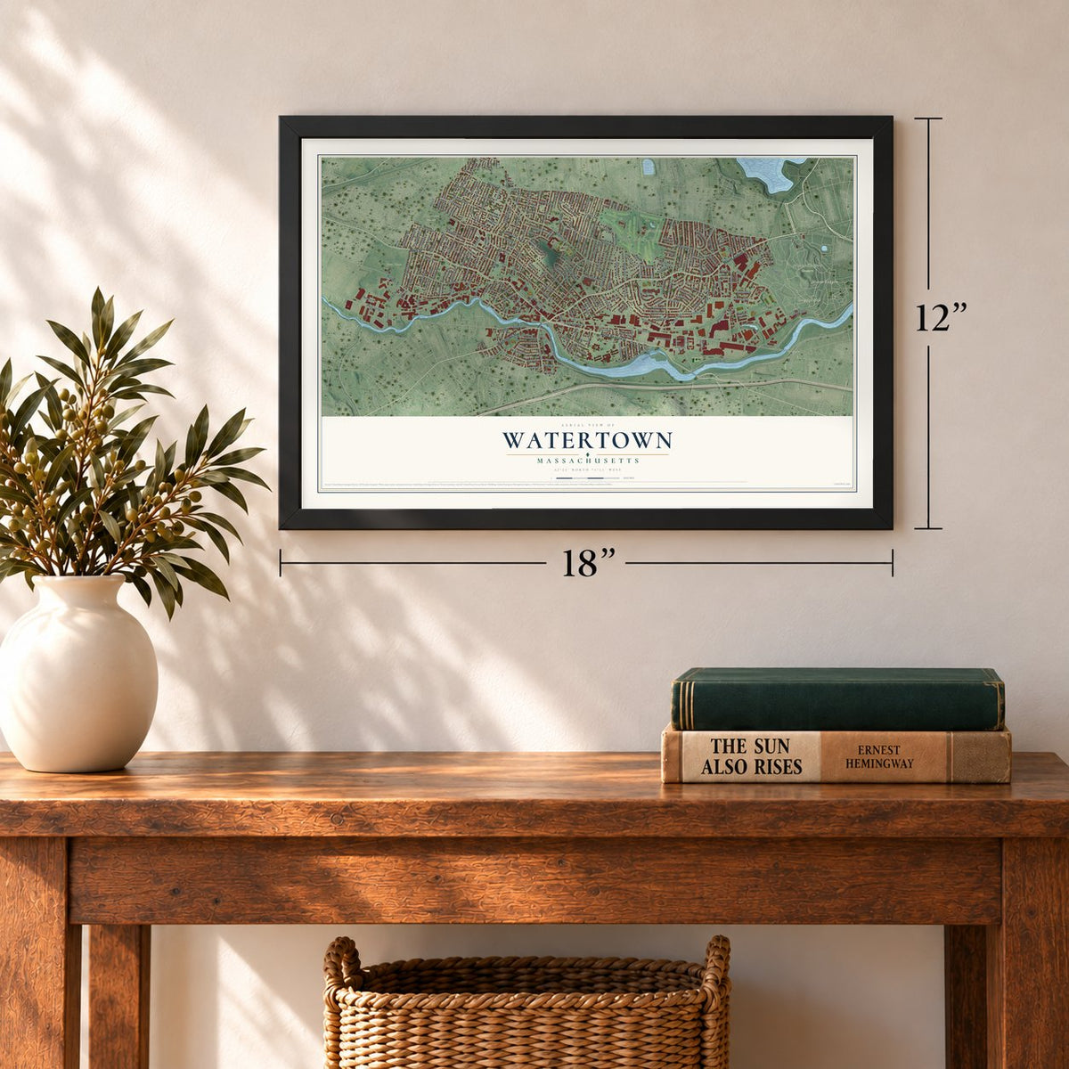
12" x 18" Archival Matte Print
A Map of Home. A Work of Art.
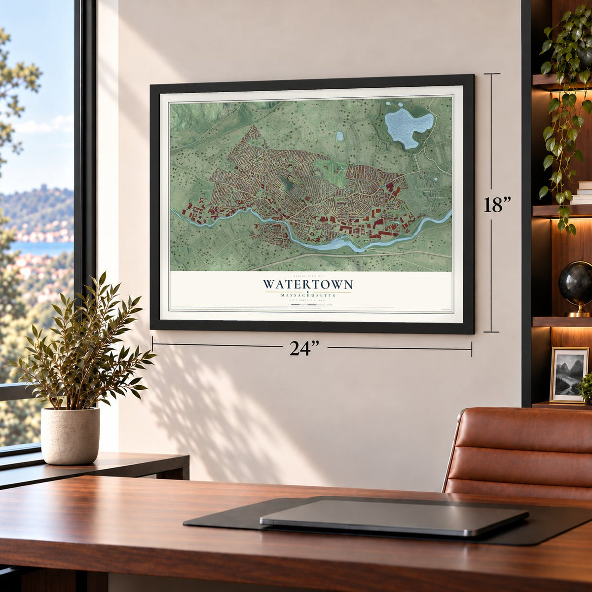
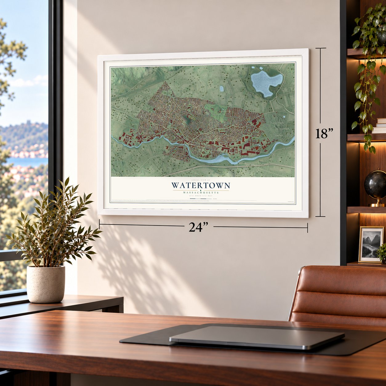
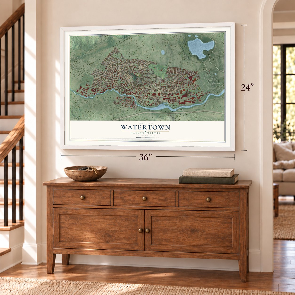
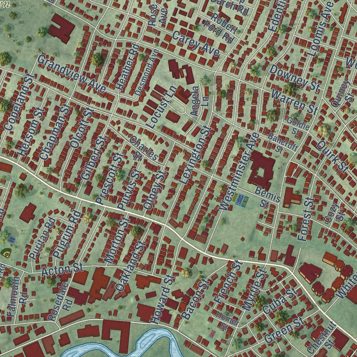
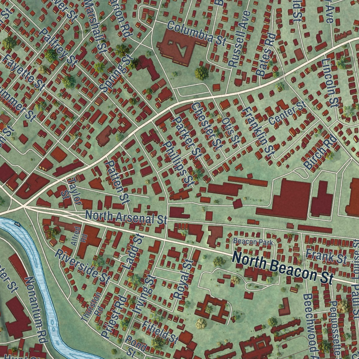
Explore Watertown, Massachusetts from a whole new perspective. Created using aerial imagery and detailed geographic data, this map captures Watertown building by building, with labeled streets, familiar landmarks, and shaded topographical relief that highlights the natural contours of the landscape.
Combining modern data with the timeless character of a vintage atlas, this map is just as interesting up close as it is beautiful on the wall. Whether you grew up in Watertown, spent memorable years there, or call it home today, this unique map is a great way to celebrate a place that means something to you. Zoom in on the preview to look for your street, and then order a print to put your memories on the wall.
Three ways to hang it
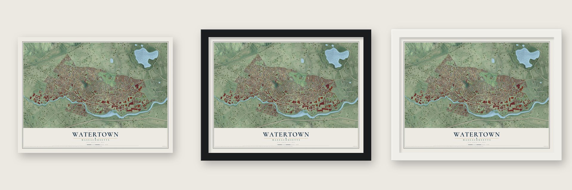
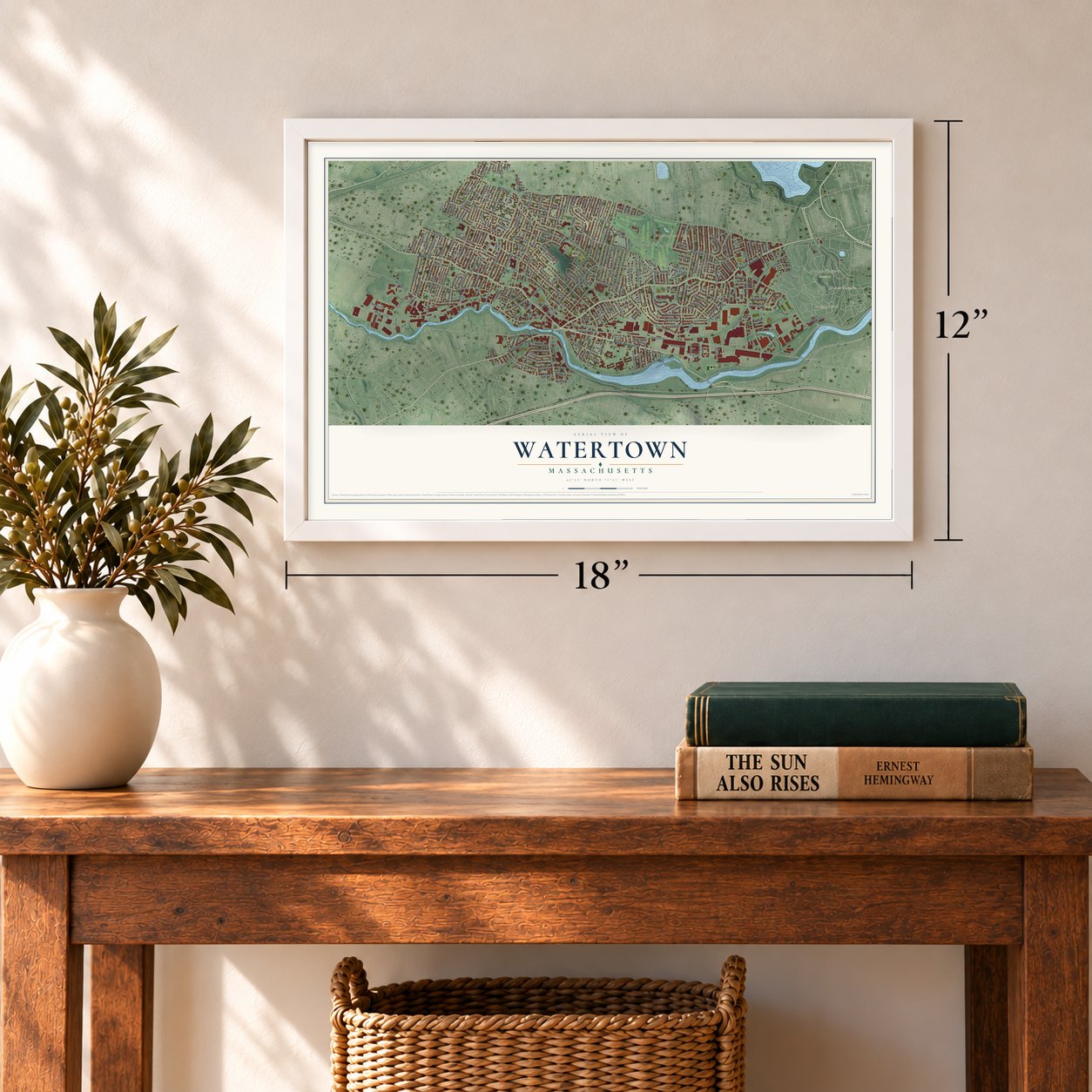
Unframed archival matte, a black wood frame or a white wood frame.
Up close
Geography Worth Displaying
This map was created using accurate cartographic data and authoritative geographic sources, including the U.S. Geological Survey (USGS) and FEMA. The map brings together terrain, waterways, roads, and building detail. The majority of the streets are labeled, houses are accurately depicted, and the topography is derived from government sources. Combining local data with carefully composed color and shading leads to this beautifully detailed Watertown artwork for your wall.
Rather than simply showing street outlines, we’ve included as many of the street names as we could reasonably fit on the map while keeping their names legible. Zoom in on the high resolution preview to see exactly what’s on the map. We truly set out to create a statement piece for anyone who loves Watertown. So whether it’s for you, or a gift for someone you love, we hope this map of Watertown brings back fond memories.
Explore the full map of Watertown, Massachusetts and read about the local places it shows.

Find your street
Names on the Watertown map
Every name below is printed on this map. Look for your street, your school, the park where you played, or the pond down the road.
Places and landmarks15
- Downtown
- Coolidge Hill
- Meetinghouse Hill
- Mount Auburn
- Blacks Nook
- Arsenal Park
- Gore Place
- Mount Auburn Cemetery
- Ridgelawn Cemetery
- Victory Field
- Newton Corner
- East Watertown
Show all 15 places
- Bemis
- Oakley Country Club
- Beacon Park
Streets and roads279
- Mount Auburn Street
- North Beacon Street
- Main Street
- Watertown Street
- Galen Street
- Nonantum Road
- Pleasant Street
- Charles River Road
- Lexington Street
- Orchard Street
- Grandview Avenue
- Arlington Street
- Dexter Avenue
- Walnut Street
- Spring Street
- Wooley Avenue
- Wilson Avenue
- Lloyd Road
- Arsenal Street
- Greenough Boulevard
- School Street
- Common Street
- Grove Street
- Waverley Avenue
- Warren Street
- Palfrey Street
- Waltham Street
- Edenfield Avenue
- Westminster Avenue
- Highland Avenue
Show all 279 streets
- Summer Street
- Church Street
- Coolidge Avenue
- Fayette Street
- Belmont Street
- Acton Street
- Maplewood Street
- Spruce Street
- Lovell Road
- Chapman Street
- Bellevue Road
- Irving Street
- Standish Road
- Cypress Street
- Hillside Road
- Langdon Avenue
- Winsor Avenue
- Russell Avenue
- Nichols Avenue
- Forest Street
- Marshall Street
- Morse Street
- Grant Avenue
- California Street
- Robbins Road
- Harnden Avenue
- Riverside Street
- Evans Street
- Barnard Avenue
- Cottage Street
- Rutland Street
- Putnam Street
- Lowell Avenue
- Brookline Street
- Garfield Street
- Water Street
- Edward Road
- Jensen Road
- Madison Avenue
- Stoneleigh Road
- Laurel Street
- Melendy Avenue
- Sycamore Street
- Elm Street
- Marion Road
- Beechwood Avenue
- Carroll Street
- Bailey Avenue
- Franklin Street
- Union Street
- Bradford Road
- King Street
- Everett Avenue
- Edgecliff Road
- Carey Avenue
- Whites Avenue
- Worcester Street
- Holt Street
- Bigelow Avenue
- Fitchburg Street
- Channing Road
- Bridge Street
- Bromfield Street
- Gilbert Street
- Green Street
- Duff Street
- Townly Road
- Nyack Street
- Sparkill Street
- Myrtle Street
- Copeland Street
- North Arsenal Street
- Hazel Street
- Capitol Street
- York Avenue
- Loomis Avenue
- Fairview Avenue
- Emerson Road
- Boyd Street
- Prentiss Street
- Elton Avenue
- Lincoln Street
- Crawford Street
- Partridge Street
- Repton Place
- Gleason Street
- Bacon Street
- George Street
- Aldrich Road
- Howard Street
- Olcott Street
- Locke Street
- Quimby Street
- Buick Street
- Stuart Street
- Longfellow Road
- Eliot Street
- Columbia Street
- Hall Avenue
- Piermont Street
- Parker Street
- Webster Street
- Wilmot Street
- Adams Avenue
- Hersom Street
- Olney Street
- Keenan Street
- Stanley Avenue
- Bates Road
- Phillips Street
- Oakland Street
- Cuba Street
- Chauncey Street
- Merrill Road
- Pilgrim Road
- Oliver Street
- Dartmouth Street
- Harrington Street
- Arden Road
- Poplar Street
- Wheeler Court
- Appleton Street
- Paul Street
- Salisbury Road
- Fairfield Street
- Hardy Avenue
- Hunt Street
- Whitney Street
- Pine Street
- Prescott Street
- Maple Street
- Quirk Street
- Royal Street
- Chester Street
- Cross Street
- Patten Street
- Kimball Road
- Nash Street
- Knowles Road
- French Street
- Purvis Street
- Morton Street
- Downey Street
- Ladd Street
- Frank Street
- Priest Road
- Keith Street
- Locust Lane
- Flint Road
- Hill Street
- Clyde Road
- Sawin Street
- Birch Road
- Kingsbury Avenue
- Pond Street
- Boylston Street
- Hovey Street
- Rosedale Road
- Arsenal Court Drive
- Chestnut Street
- Bemis Street
- Prospect Street
- Jefferson Street
- Pequossette Street
- Carver Road
- Puritan Road
- Philip Darch Road
- Pierce Road
- Quincy Street
- Robert Ford Road
- Grenville Road
- Fuller Road
- Charles Street
- Brimmer Street
- Rose Avenue
- Hosmer Street
- Stoneleigh Circle
- Calvin Road
- Thaxter Street
- Angela Lane
- Otis Street
- Stearns Road
- Heather Road
- Marcia Road
- Francis Street
- Falmouth Road
- Chandler Street
- Fifth Avenue
- Center Street
- Palmer Street
- Concord Road
- Williams Street
- Dewey Street
- Talcott Avenue
- Fifield Street
- Wells Avenue
- Lawrence Street
- Green River Way
- Louise Street
- Berkeley Street
- Saint Marys Street
- Hudson Street
- Lyons Court
- Church Lane
- Taylor Street
- Avon Road
- Cozy Street
- Alden Road
- Hearn Street
- Ellen Terrace
- Templeton Parkway
- Ralph Street
- Bancroft Street
- Hilltop Road
- Shattuck Road
- Irma Avenue
- Warwick Road
- Desmond Avenue
- Cleveland Road
- Perry Street
- Oakley Road
- Merrifield Avenue
- Brandley Road
- Richards Road
- Thurston Road
- School Lane
- Hillcrest Circle
- Paramount Place
- Oak Street
- Thorton Avenue
- Bridgham Avenue
- Malden Street
- Ralph Piteri Terrace
- Bay Street
- Wayne Avenue
- Homer Street
- Conant Road
- Goldie Street
- Sexton Street
- Morrison Road
- Brigham Street
- Rangeley Road
- Woodleigh Road
- Alfred Road
- James Street
- Mangano Court
- Whitman Road
- Derby Street
- Holly Street
Names are listed as they appear on the printed map. Zoom into the product photos to find them.
About Watertown, Massachusetts
Watertown's recorded European settlement began in 1630, and the community became an incorporated Massachusetts town in 1630. The 2020 census counted 35,329 residents in the community.
- Settlement in 1630European settlement in Watertown began in 1630.
- Incorporated in 1630Watertown became an incorporated Massachusetts town in 1630.
- 35,329 residentsThe 2020 census counted 35,329 people in Watertown.
Keep exploring Massachusetts
Watertown is one of 468 Massachusetts towns we've mapped. Every dot on the map is a print of its own.
The search covers every state, Massachusetts first.
Near Watertown
Order 2 or more town maps and save 10%. Shown in the size and finish you picked above, so they hang as a set.
- Strawberry Hill 12" x 18" / Archival Matte Print $39.99
- Belmont 12" x 18" / Archival Matte Print $39.99
- Brighton 12" x 18" / Archival Matte Print $39.99

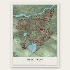
More maps nearby: Allston, North Cambridge, Newton, Cambridge and Riverside.
The art of mapping a place
How This Map Was Made
Real places. Remarkable detail. Discover the layers that turn geographic data into a map of home.

The view from above
Aerial imagery reveals the character of the land: woodland, open fields, and the patterns of a place.

The shape of the land
Elevation data brings hills, valleys, and subtle changes in the landscape into view.

The details of home
Roads, waterways, and building footprints come together to make the map feel unmistakably local.

Geography becomes art
Considered color, shading, and typography bring the layers together in a map made for your wall.


Process illustrated with Mendon, Massachusetts. Aerial imagery: USDA NAIP. Terrain: USGS 3D Elevation Program. Map details and finished artwork: KNOWOL.
The Details
About This Print
Choose an archival matte print, or a black or white Ayous wood frame. The archival matte print is unframed.
Select your size and finish above to see the matching product image and price.
Materials & Craftsmanship
A contemporary map with the character of a classic atlas, printed on archival matte paper. Optional frames are made from Ayous wood.
Your printed map does not include the watermark shown in the full-map preview.
Shipping & Delivery
Free shipping within the United States. Every print is made to order in the USA.
Buying a gift? Add a note in your cart and we'll include it. We never put prices in the package.
Prints ship within 2 to 3 business days. Allow 7 to 10 days total from ordering for delivery. Timing may vary during holidays or periods of high order volume.
Read our shipping policy.
Returns and damaged prints
Each print is made to order. Change-of-mind refunds are not available after production.
If your print arrives damaged, misprinted or incorrect, contact support@knowol.com within 30 days of receiving it. Include your order number, photos and a description of the issue.
Read our full refund and replacement policy. For questions about your order, email support@knowol.com.