
Search for another town


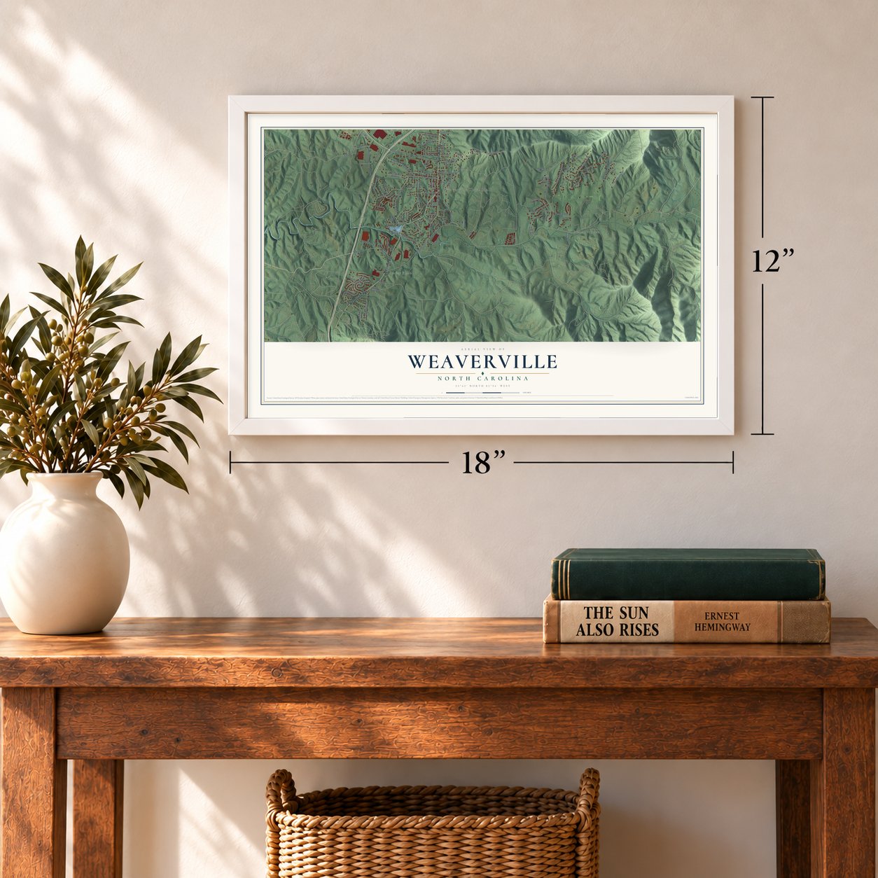

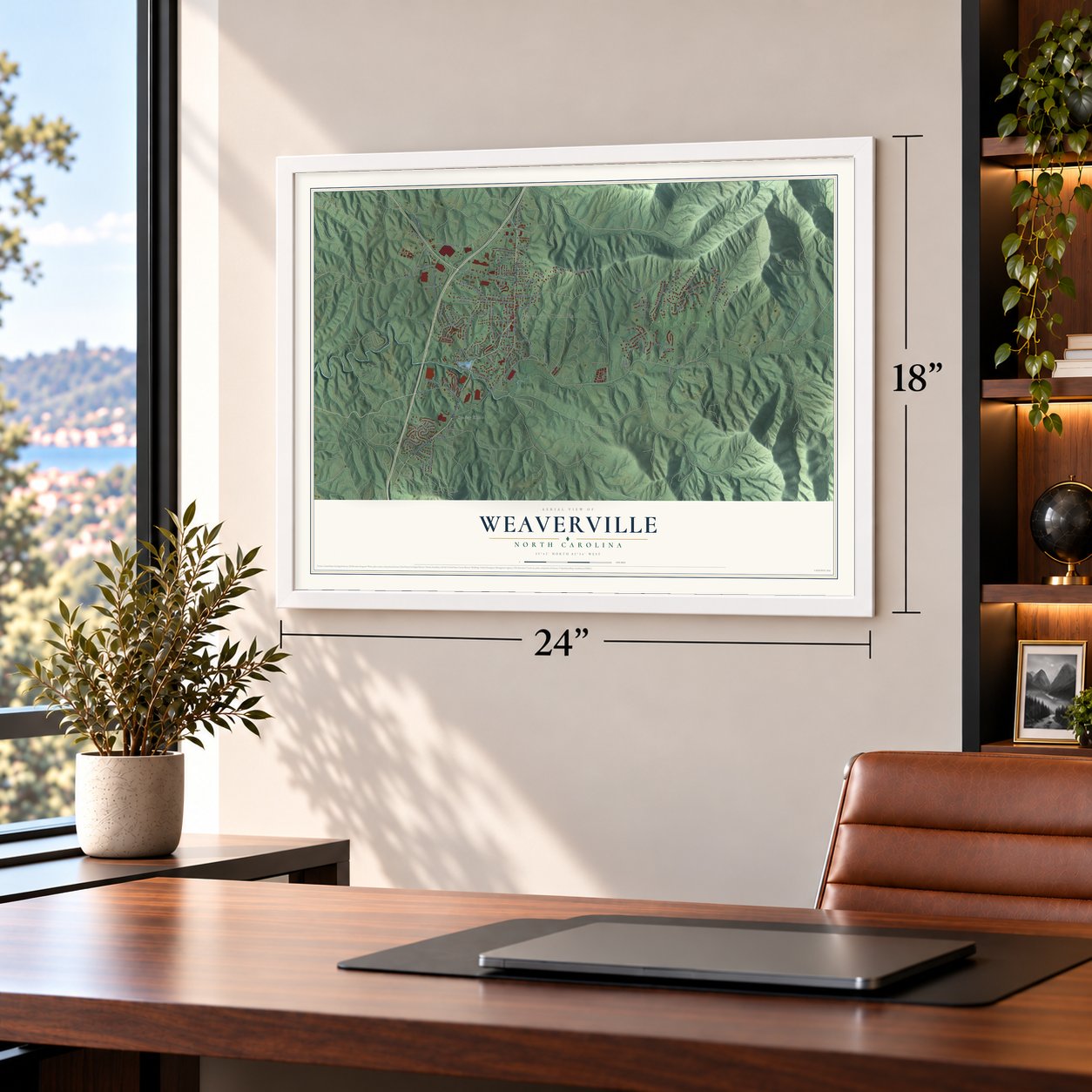

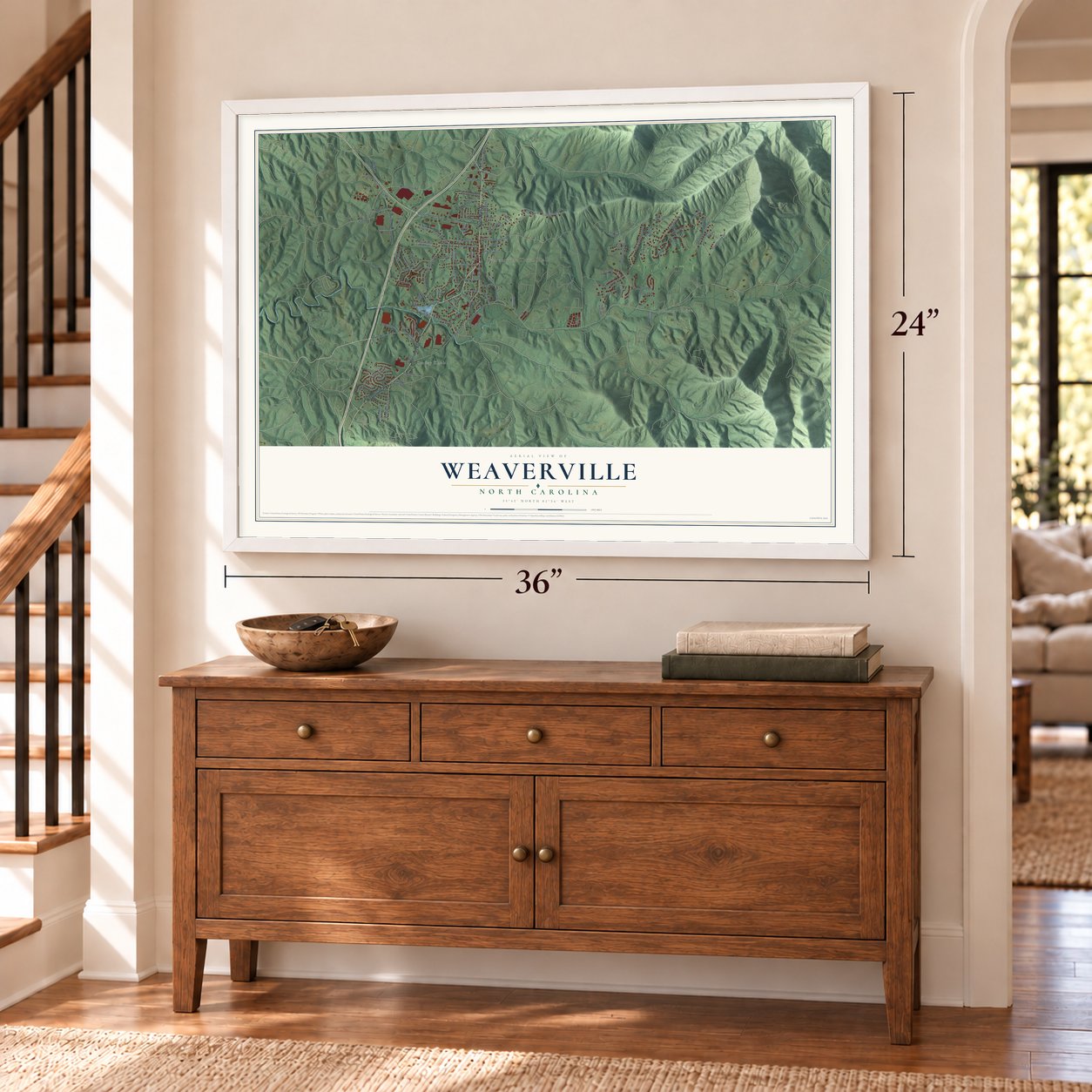

Free U.S. delivery 7 to 10 days after you order
Weaverville, North Carolina Map Art
A new map of Weaverville, North Carolina, made in 2026 and printed to order on thick archival matte paper.
12" x 18" Archival Matte Print
A Map of Home. A Work of Art.
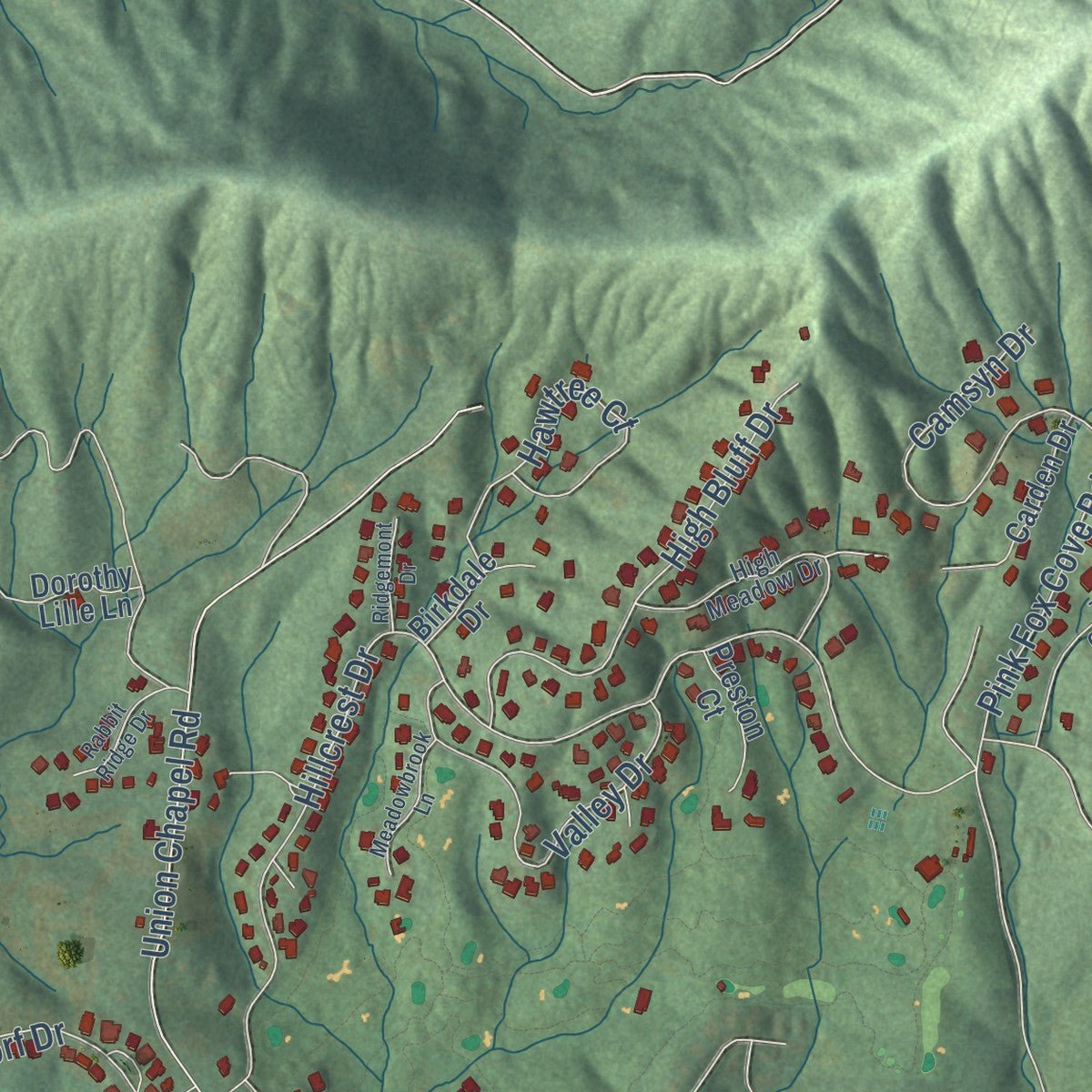
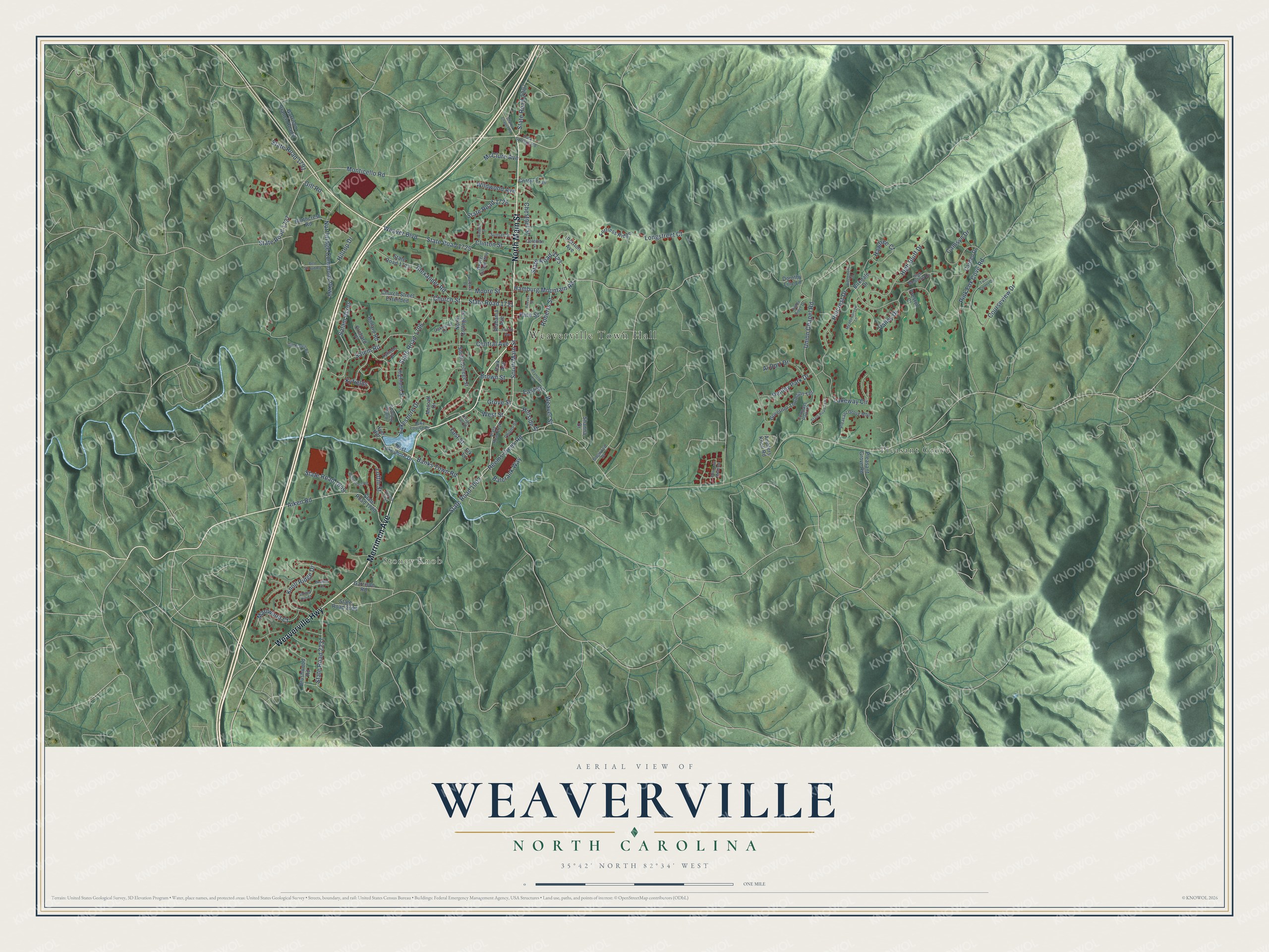
Explore Weaverville, North Carolina from a whole new perspective. Created using aerial imagery and detailed geographic data, this map captures Weaverville building by building, with labeled streets, familiar landmarks, and shaded topographical relief that highlights the natural contours of the landscape.
Combining modern data with the timeless character of a vintage atlas, this map is just as interesting up close as it is beautiful on the wall. Whether you grew up in Weaverville, spent memorable years there, or call it home today, this unique map is a great way to celebrate a place that means something to you. Zoom in on the preview to look for your street, and then order a print to put your memories on the wall.
Three ways to hang it
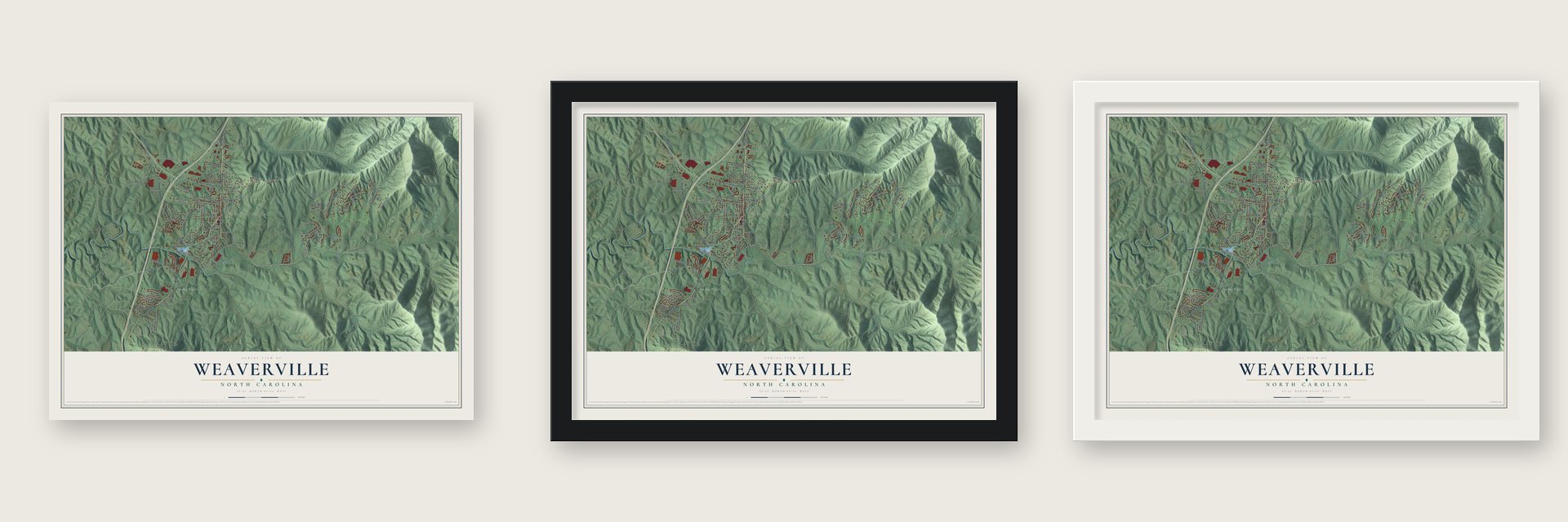
Unframed archival matte, a black wood frame or a white wood frame.
Up close
Geography Worth Displaying
This map was created using accurate cartographic data and authoritative geographic sources, including the U.S. Geological Survey and the Census Bureau. The map brings together terrain, waterways, roads, and building detail. The majority of the streets are labeled, houses are accurately depicted, and the topography is derived from government sources. Combining local data with carefully composed color and shading leads to this beautifully detailed Weaverville artwork for your wall.
Rather than simply showing street outlines, we’ve included as many of the street names as we could reasonably fit on the map while keeping their names legible. Zoom in on the high resolution preview to see exactly what’s on the map. We truly set out to create a statement piece for anyone who loves Weaverville. So whether it’s for you, or a gift for someone you love, we hope this map of Weaverville brings back fond memories.
Read the story behind this map of Weaverville, North Carolina from 2026.

About Weaverville, North Carolina
Weaverville is a town of 4,567 people in Buncombe County, on the Dry Ridge north of Asheville. The Treaty of Holston in 1786 opened this country to settlers, and John and Elizabeth Weaver were among the first to arrive. Their son, Michael Montraville Weaver, later gave the land for the town, which was chartered in 1875 and carries his name.
Long before the charter, neighbors and kin gathered for religious camp meetings at the Reems Creek Camp Grounds, near the south end of today's College Street. A large conference house went up there in the 1830s, and in 1840 the Methodist assembly that met inside it became the area's first school. By 1862 the Reems Creek area held 121 families, and many of them owned more than 1,000 acres.
- Weaverville College, 1873Weaverville College received its charter in 1873 and offered four years of study, which drew many families to the town. In 1912 it was cut back to a junior college, and in 1934 it joined with Rutherford and Brevard Colleges and carried on in Brevard. The house where its president lived now serves guests as the Dry Ridge Bed and Breakfast.
- A circuit rider turned mayorJames Americus Reagan, born in Bradley County, Tennessee, in 1824, came to Weaverville in 1851 as a Methodist circuit rider. He finished medical school at Shelby in 1859 and then treated patients along with his church work, covering more ground than any other doctor in the county, including parts of Madison and Yancey. He was vice president of the first Buncombe County Medical Society in 1867-68 and became Weaverville's first mayor.
- A hometown doctorH. B. Weaver was born in Weaverville in 1851 and learned medicine under Dr. Reagan before graduating from Washington University in Baltimore in 1872. After two years of practice in Mitchell County, he came home to Weaverville in 1874. He went on to lead the State Medical Society, the only western man ever given that honor.
- Weaverville High School, 1927The WPA built Weaverville High School, which opened in 1927 at the south end of Main Street. In 1954 it combined its upper grades with Flat Creek, Red Oak, French Broad and Barnardsville, and together they formed North Buncombe High School.
- Patches since 1963A-B Emblem, among the biggest makers of embroidered patches anywhere, opened a factory in Weaverville in 1963 and has been one of the town's largest employers ever since. The company marked 50 straight years here in 2013, and it now turns out more than 70 million patches a year.
Find your street
Names on the Weaverville map
Every name below is printed on this map. Look for your street, your school, the park where you played, or the pond down the road.
Places and landmarks3
- Weaverville Town Hall
- Stoney Knob
- Pleasant Grove
Streets and roads124
- Merrimon Avenue
- North Main Street
- Weaverville Highway
- South Main Street
- Hillside Street
- State Road 2207
- Banks Town Road
- Weaver Street
- State Road 1796
- State Road 1003
- Reems Creek Road
- Hillcrest Drive
- State Road 2123
- Monticello Road
- State Road 1727
- Alexander Road
- Lakeshore Drive
- State Road 1721
- State Road 1725
- Weaver Boulevard
- Union Chapel Road
- Aiken Road
- Pink Fox Cove Road
- Brown Street
- Salem Road
- Northridge Commons Parkway
- Hamburg Mountain Road
- Kyfields
- High Bluff Drive
- Camsyn Drive
Show all 124 streets
- State Road 1791
- Valley Drive
- Hawtree Court
- Courseview Drive
- Central Avenue
- Church Street
- East Street
- Knoll Ridge Drive
- State Road 2237
- Lakeway Circle
- Moore Street
- Hilltop Drive
- Balcrank Way
- Loftin Street
- Longstreet Court
- State Road 1726
- Penley Park Drive
- Marlwood Court
- Salam Acres
- Wildwood Avenue
- Yost Street
- Roberts Street
- McClure Avenue
- Al Dorf Drive
- Clinton Street
- Chestnut Street
- State Road 1849
- Gill Road
- Grove Street
- Pine Street
- West Street
- West Lakeshore Drive
- Highland Street
- Governor Thomson Terrace
- State Road 1720
- Dorothy Lille Lane
- State Road 1723
- Perrion Avenue
- Brushwood Road
- Church Street Extended
- North College Street
- Alabama Avenue
- South College Street
- Amblers Knoll Road
- Northcrest Road
- Carden Drive
- Garrison Branch Road 2
- Fortress Ridge
- State Road 2094
- Ballard Road
- Orchard Place
- Preston Court
- Critter Trail
- Birkdale Drive
- Pleasant Grove Road
- Garrison Road
- Park Avenue
- Metcalf Drive
- Shanna Drive
- Hyer Hill
- Elk Lane
- State Road 2127
- Kyfields Drive
- Dula Springs Road
- High Meadow Drive
- Compass Park Drive
- Pleasant Grove Mhp
- Phipps Street
- Weaver Village Way
- Riddle Ridge Drive
- Oakwood Drive
- Lake Louise Drive
- Coleman Street
- Sunset Street
- Dogwood Drive
- Gill Branch Road
- State Road 2122
- Bett Stroud Road
- Mountain Meadow
- Twin Courts Drive
- Reynolds Lane
- Meadowbrook Lane
- Waddell Street
- Robinroost Road
- Heather Court
- Rabbit Ridge Drive
- Reeves Street
- Clarks Chapel Road
- Florida Avenue
- Stoney Hill Court
- Ridgemont Drive
- Village Park Drive
- Athena Avenue
- Harbeck Drive
Names are listed as they appear on the printed map. Zoom into the product photos to find them.
The art of mapping a place
How This Map Was Made
Real places. Remarkable detail. Discover the layers that turn geographic data into a map of home.

The view from above
Aerial imagery reveals the character of the land: woodland, open fields, and the patterns of a place.

The shape of the land
Elevation data brings hills, valleys, and subtle changes in the landscape into view.

The details of home
Roads, waterways, and building footprints come together to make the map feel unmistakably local.

Geography becomes art
Considered color, shading, and typography bring the layers together in a map made for your wall.


Process illustrated with Mendon, Massachusetts. Aerial imagery: USDA NAIP. Terrain: USGS 3D Elevation Program. Map details and finished artwork: KNOWOL.
The Details
About This Print
Choose an archival matte print, or a black or white Ayous wood frame. The archival matte print is unframed.
Select your size and finish above to see the matching product image and price.
Materials & Craftsmanship
A contemporary map with the character of a classic atlas, printed on archival matte paper. Optional frames are made from Ayous wood.
Your printed map does not include the watermark shown in the full-map preview.
Shipping & Delivery
Free shipping within the United States. Every print is made to order in the USA.
Buying a gift? Add a note in your cart and we'll include it. We never put prices in the package.
Prints ship within 2 to 3 business days. Allow 7 to 10 days total from ordering for delivery. Timing may vary during holidays or periods of high order volume.
Read our shipping policy.
Returns and damaged prints
Each print is made to order. Change-of-mind refunds are not available after production.
If your print arrives damaged, misprinted or incorrect, contact support@knowol.com within 30 days of receiving it. Include your order number, photos and a description of the issue.
Read our full refund and replacement policy. For questions about your order, email support@knowol.com.
Find your town
Looking for another city?
Find a map of home in our North Carolina collection, or any town in the country.
Nearby
Maps of towns near Weaverville
Know someone from one of these towns? Their map makes a great gift.
 Woodfin
, North Carolina
From $39.99See the map
 Emma
Emma, North Carolina
From $39.99See the map
 Barnardsville
, North Carolina
From $39.99See the map
More maps nearby: Asheville, Mars Hill, Marshall, Biltmore Forest and Swannanoa.