
Search for another town
Free U.S. delivery 7 to 10 days after you order
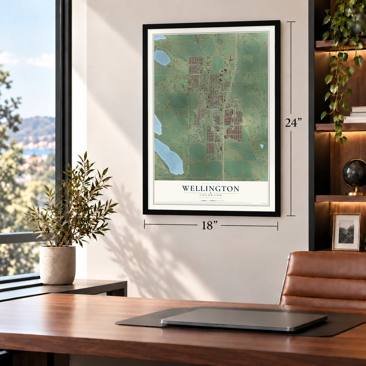
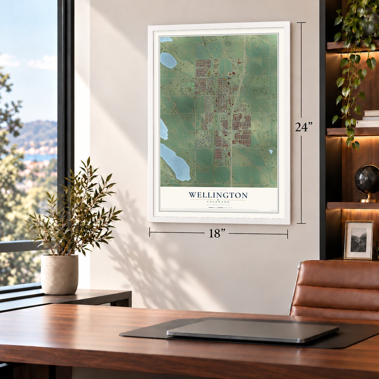
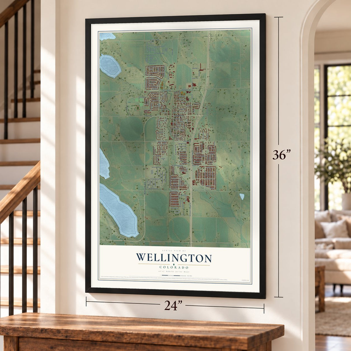
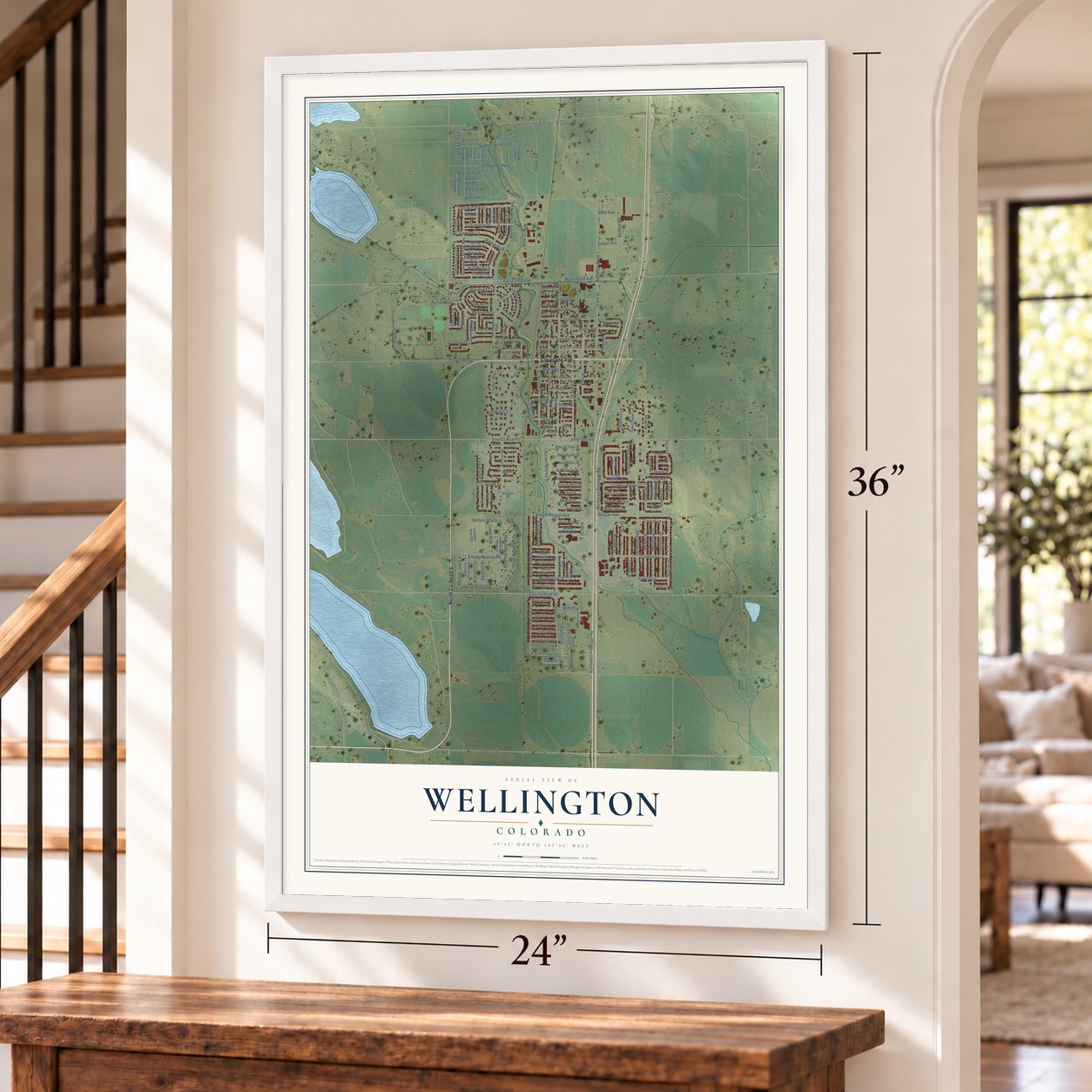
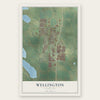
Wellington, Colorado Map Art
Building by building, with labeled streets and shaded relief.
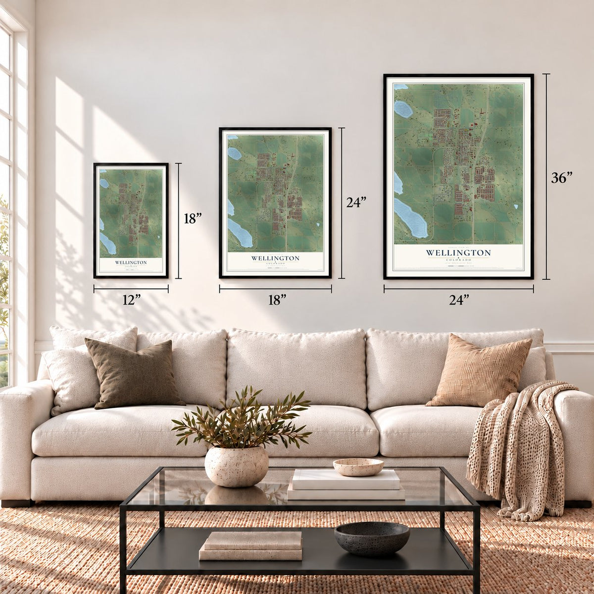
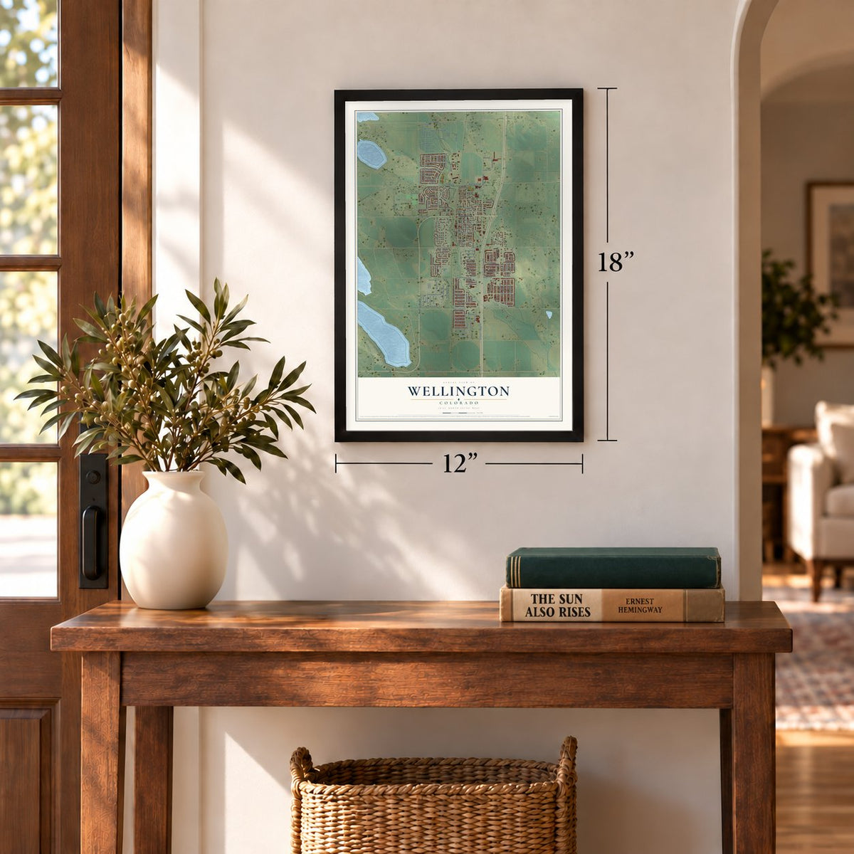
12" x 18" Archival Matte Print
A Map of Home. A Work of Art.
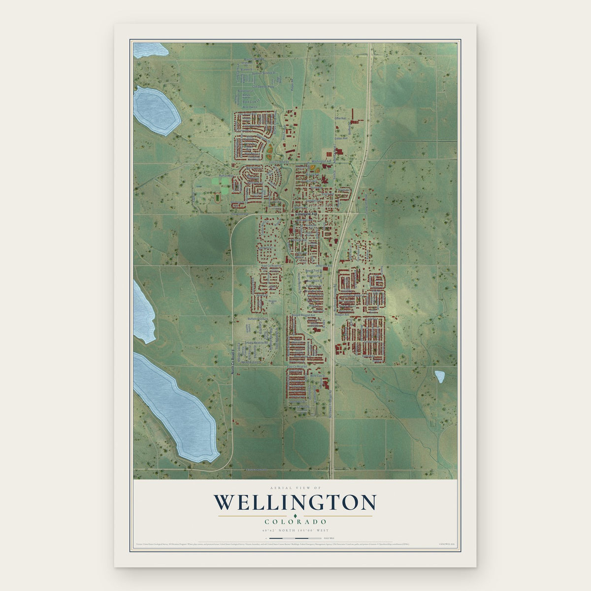
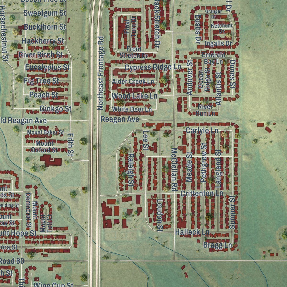
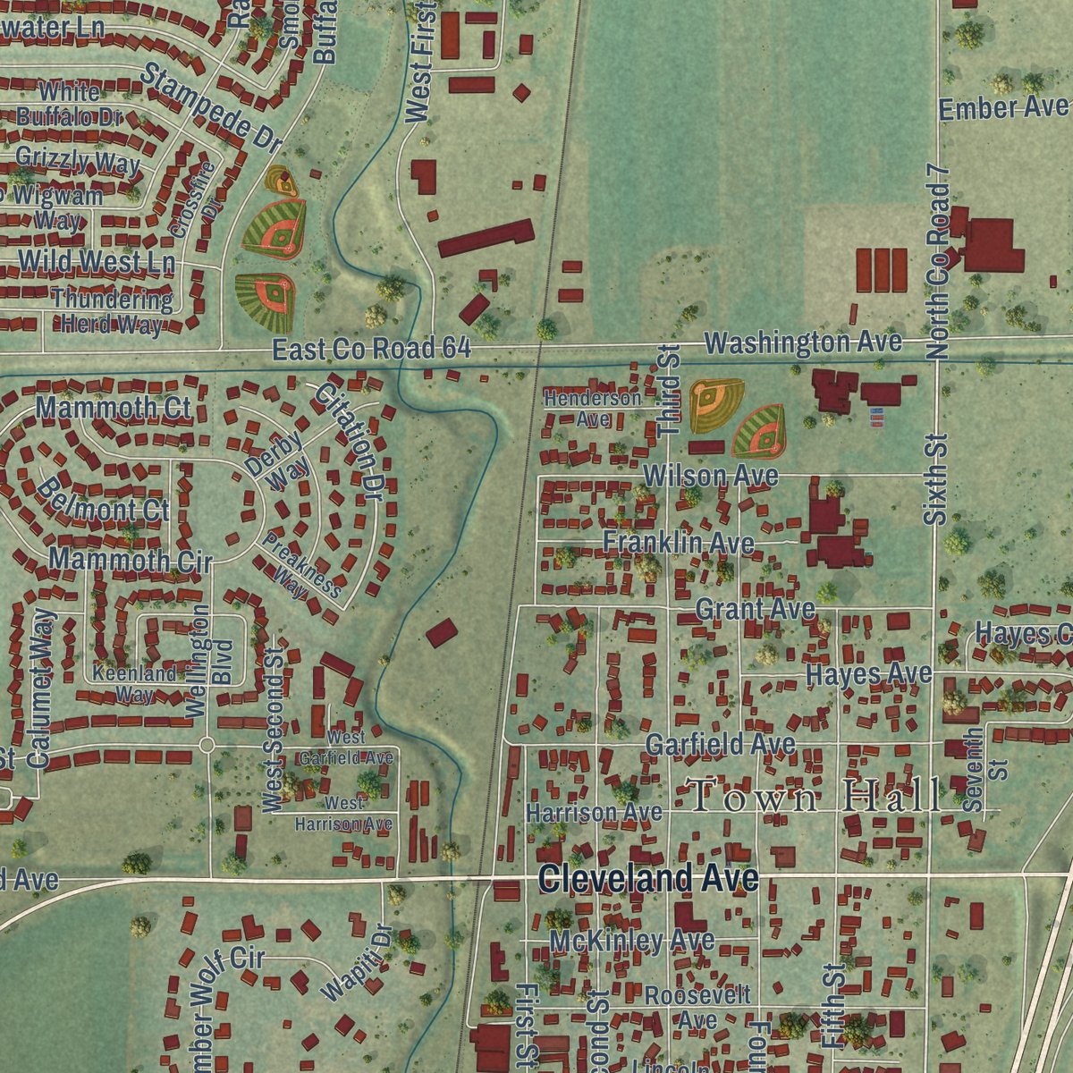
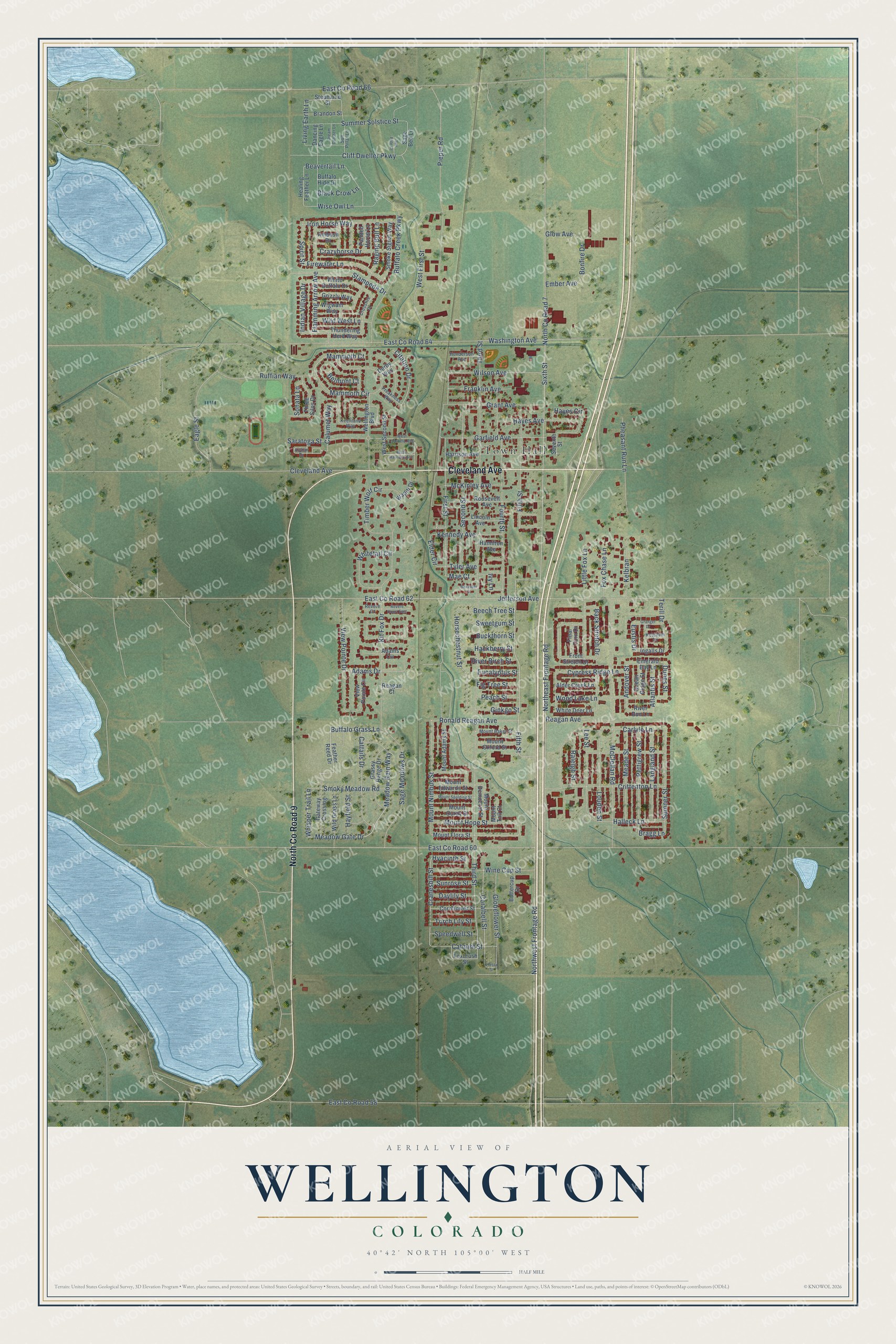
Explore Wellington, Colorado from a whole new perspective. Created using aerial imagery and detailed geographic data, this map captures Wellington building by building, with labeled streets, familiar landmarks, and shaded topographical relief that highlights the natural contours of the landscape.
Combining modern data with the timeless character of a vintage atlas, this map is just as interesting up close as it is beautiful on the wall. Whether you grew up in Wellington, spent memorable years there, or call it home today, this unique map is a great way to celebrate a place that means something to you. Zoom in on the preview to look for your street, and then order a print to put your memories on the wall.
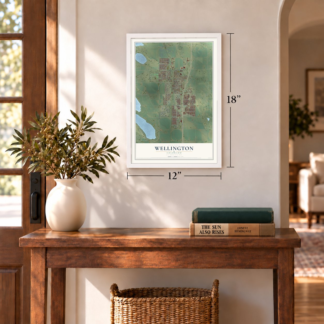
Three ways to hang it
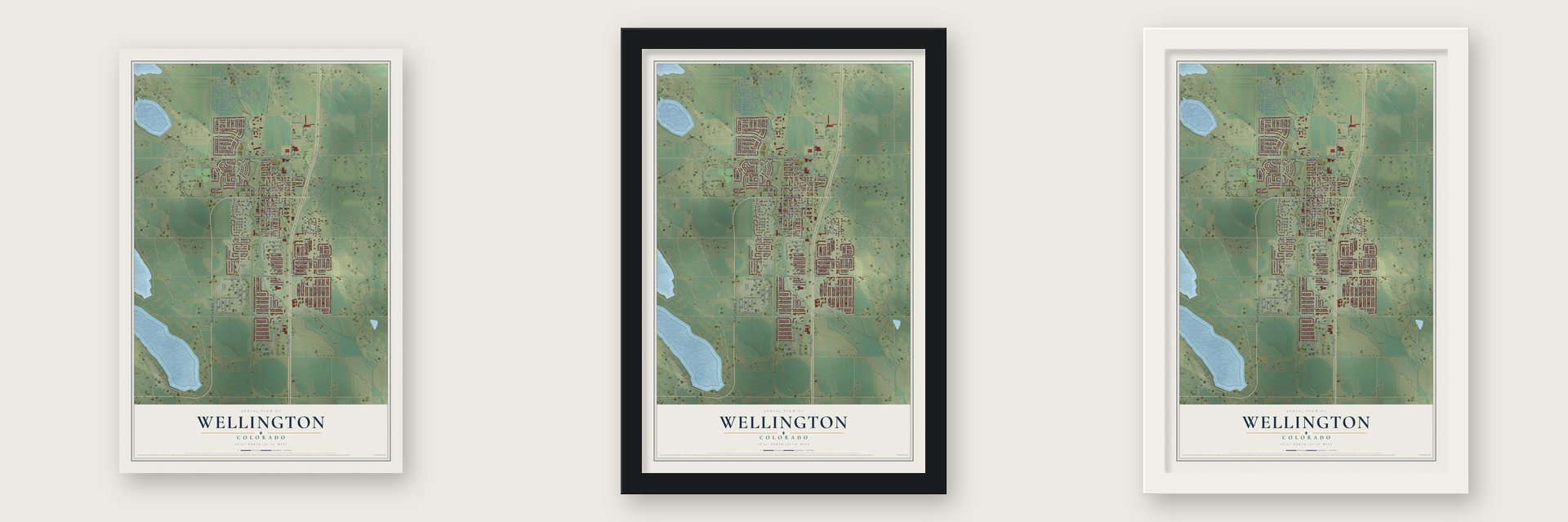
Unframed archival matte, a black wood frame or a white wood frame.
Up close
Geography Worth Displaying
This map was created using accurate cartographic data and authoritative geographic sources, including the U.S. Geological Survey and the Census Bureau. The map brings together terrain, waterways, roads, and building detail. The majority of the streets are labeled, houses are accurately depicted, and the topography is derived from government sources. Combining local data with carefully composed color and shading leads to this beautifully detailed Wellington artwork for your wall.
Rather than simply showing street outlines, we’ve included as many of the street names as we could reasonably fit on the map while keeping their names legible. Zoom in on the high resolution preview to see exactly what’s on the map. We truly set out to create a statement piece for anyone who loves Wellington. So whether it’s for you, or a gift for someone you love, we hope this map of Wellington brings back fond memories.
Read the story behind this map of Wellington, Colorado from 2026.
Find your street
Names on the Wellington map
Every name below is printed on this map. Look for your street, your school, the park where you played, or the pond down the road.
Places and landmarks1
- Town Hall
Streets and roads187
- North County Road 9
- Cleveland Avenue
- Meadow Gate Drive
- Buffalo Grass Lane
- Whisper Trail Lane
- Meadow Rain Way
- Back Stretch Drive
- Fifth Street
- Sixth Street
- Sumner Street
- Cranesbill Street
- Eustis Drive
- First Street
- Horsechestnut Street
- Citation Drive
- Third Street
- Coralbell Street
- Washington Avenue
- Andover Street
- Spirit Street
- Beavertail Lane
- Hyacinth Street
- Firewater Lane
- Bonfire Drive
- View Pointe Drive
- Living Earth Lane
- Bragg Lane
- East County Road 60
- Northwest Frontage Road
- East County Road 64
Show all 187 streets
- East County Road 62
- McClellan Road
- Fourth Street
- Buffalo Creek Parkway
- Pieper Road
- Jefferson Avenue
- Kit Fox Drive
- North County Road 7
- West First Street
- Northeast Frontage Road
- Second Street
- Carlyle Lane
- East County Road 66
- Eagle Street
- Sage Meadows Drive
- Crittenton Lane
- Mount Nimbus Street
- Cliff Dweller Parkway
- Little Fox Lane
- Flamming Arrow Avenue
- Garfield Avenue
- Ronald Reagan Avenue
- Globeflower Street
- Wine Cup Street
- Cattails Drive
- Summer Solstice Street
- Stampede Drive
- Grant Avenue
- Ruffian Way
- Lee Street
- Timber Wolf Circle
- Mammoth Circle
- Iron Horse Way
- Wilson Avenue
- Kennedy Avenue
- Pheasant Run Lane
- Saratoga Street
- Smoky Meadow Road
- Meade Street
- Loudon Street
- Pettigrew Street
- Langland Street
- Raging Bull Lane
- East County Road 58
- Mount Hope Street
- Crazyhorse Drive
- Hayes Avenue
- Wise Owl Lane
- Whitetail Circle
- Hayes Circle
- Cypress Ridge Lane
- Catmint Street
- Reagan Avenue
- Halleck Lane
- Franklin Avenue
- Mammoth Court
- River Birch Street
- McKinley Avenue
- Sweetgum Street
- Buckthorn Street
- Hackberry Street
- Mae Court
- Wild West Lane
- Beech Tree Street
- Calumet Way
- Wood Lake Lane
- Kelbran
- Terill Drive
- Ginkgo Street
- Raleigh Street
- Fox Chase Lane
- Indian Village Drive
- Hayfield Street
- Speedwell Street
- Atlantis Street
- Torch Lily Street
- Daylily Street
- Sunrose Street
- Peach Street
- Black Crow Lane
- Fig Tree Street
- Eucalyptus Street
- Elder Circle
- Adams Drive
- Belmont Court
- Sonata Lane
- Glow Avenue
- Ember Avenue
- Dunes Street
- Tyler Avenue
- Ivy Lane
- Feather Reed Drive
- Front Stretch Drive
- Mount Flora Street
- Emerald Bay Lane
- Adams Circle
- Stephanie Street
- Healing Feather Lane
- Sage Bed Lane
- Ingalls Drive
- River Run Lane
- Foxbrush Street
- Harrison Avenue
- Roosevelt Avenue
- View Pointe Circle
- Dancing Eagle Lane
- Wellington Boulevard
- White Buffalo Drive
- Grassy Range Drive
- Cornflower Street
- Gateway Crossing
- Three Silos Drive
- Wild Grass Lane
- Smoke Signal Way
- Thundering Herd Way
- Mount Adams Street
- Mount Democrat Street
- Mount Edwards Street
- Mount Ouray Street
- West Second Street
- Mount Oxford Street
- Grizzly Way
- White Deer Lane
- Alder Creek Lane
- Lincoln Avenue
- Wigwam Way
- Brandon Street
- Derby Way
- Buffalo Hide Drive
- Wapiti Drive
- Buttercup Drive
- Final Turn Drive
- Ocean Ridge Street
- Painted Horse Lane
- Hamilton Avenue
- Seventh Street
- Ambush Drive
- Mount Toll Court
- Reagan Court
- Keenland Way
- Sun Pillar Lane
- Mount Baker Street
- Alybar Drive
- Crossfire Drive
- Henderson Avenue
- Preakness Way
- Ketchum Drive
- Revere Court
- Mount Spalding Street
- West Garfield Avenue
- West Harrison Avenue
- Revere Court East
- Granger Drive
- Dream Catcher Lane
- Sun Pole Court
- Boxelder Court
- Hosta Street
Names are listed as they appear on the printed map. Zoom into the product photos to find them.
About Wellington, Colorado
Wellington is a town of 11,047 people in Larimer County, about 10 miles north of Fort Collins. It is the northernmost Colorado town on I-25. Wellington was founded in 1902 and incorporated in 1905, and it took its name from C. L. Wellington, who worked for the Colorado and Southern Railroad. That railroad's Cheyenne-Wellington extension later ran across the county's coal fields.
For most of the century the town held steady at about 500 people, who built homes, churches and restaurants. Because it sat on the road between Cheyenne and Fort Collins, Wellington served as a stop for drivers going either way, and during Prohibition it was also a place to get a drink. Growth finally came in the 1990s and 2000s, as many people who worked in Fort Collins chose to make their homes here.
- A Supreme Court justice's hometownByron White, who later sat on the U.S. Supreme Court, lived in Wellington as a boy. He kept coming back every year for his high school reunions until 1999, when his health took a serious turn for the worse.
- Mammoth bones in 2000In 2000 a construction crew digging foundations for new houses struck woolly mammoth remains. Colorado State University sent a team to dig out the bones while townspeople looked on, but when the tusks were lifted they crumbled inside the forms built to protect them. The developers, the Burrus family, gave the rear molars and parts of the skull to CSU and kept some molars themselves, and the subdivision named one of its streets for the find.
- The Sun, founded 1907In its first years the young town produced two newspapers, the News and the Sun. Only the Sun survived. Founded in 1907, it passed through several owners before John E. Pope, a seasoned newspaperman and printer, took charge, and the county history listed the Weekly Sun of Wellington among the county's papers.
Keep exploring Colorado
Wellington is one of 550 Colorado towns we've mapped. Every dot on the map is a print of its own.
The search covers every state, Colorado first.
Near Wellington
Order 2 or more town maps and save 10%. Shown in the size and finish you picked above, so they hang as a set.
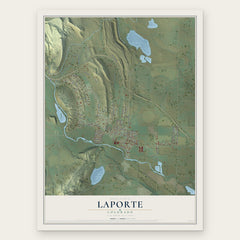
- Laporte 12" x 18" / Archival Matte Print $39.99
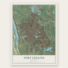
- Fort Collins 12" x 18" / Archival Matte Print $39.99
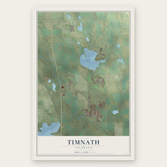
- Timnath 12" x 18" / Archival Matte Print $39.99
More maps nearby: Nunn, Pierce, Severance, Ault and Windsor.
The art of mapping a place
How This Map Was Made
Real places. Remarkable detail. Discover the layers that turn geographic data into a map of home.

The view from above
Aerial imagery reveals the character of the land: woodland, open fields, and the patterns of a place.

The shape of the land
Elevation data brings hills, valleys, and subtle changes in the landscape into view.

The details of home
Roads, waterways, and building footprints come together to make the map feel unmistakably local.

Geography becomes art
Considered color, shading, and typography bring the layers together in a map made for your wall.


Process illustrated with Mendon, Massachusetts. Aerial imagery: USDA NAIP. Terrain: USGS 3D Elevation Program. Map details and finished artwork: KNOWOL.
The Details
About This Print
Choose an archival matte print, or a black or white Ayous wood frame. The archival matte print is unframed.
Select your size and finish above to see the matching product image and price.
Materials & Craftsmanship
A contemporary map with the character of a classic atlas, printed on archival matte paper. Optional frames are made from Ayous wood.
Your printed map does not include the watermark shown in the full-map preview.
Shipping & Delivery
Free shipping within the United States. Every print is made to order in the USA.
Buying a gift? Add a note in your cart and we'll include it. We never put prices in the package.
Prints ship within 2 to 3 business days. Allow 7 to 10 days total from ordering for delivery. Timing may vary during holidays or periods of high order volume.
Read our shipping policy.
Returns and damaged prints
Each print is made to order. Change-of-mind refunds are not available after production.
If your print arrives damaged, misprinted or incorrect, contact support@knowol.com within 30 days of receiving it. Include your order number, photos and a description of the issue.
Read our full refund and replacement policy. For questions about your order, email support@knowol.com.