
Search for another town




Free U.S. delivery 7 to 10 days after you order
West Hills, California Map Art
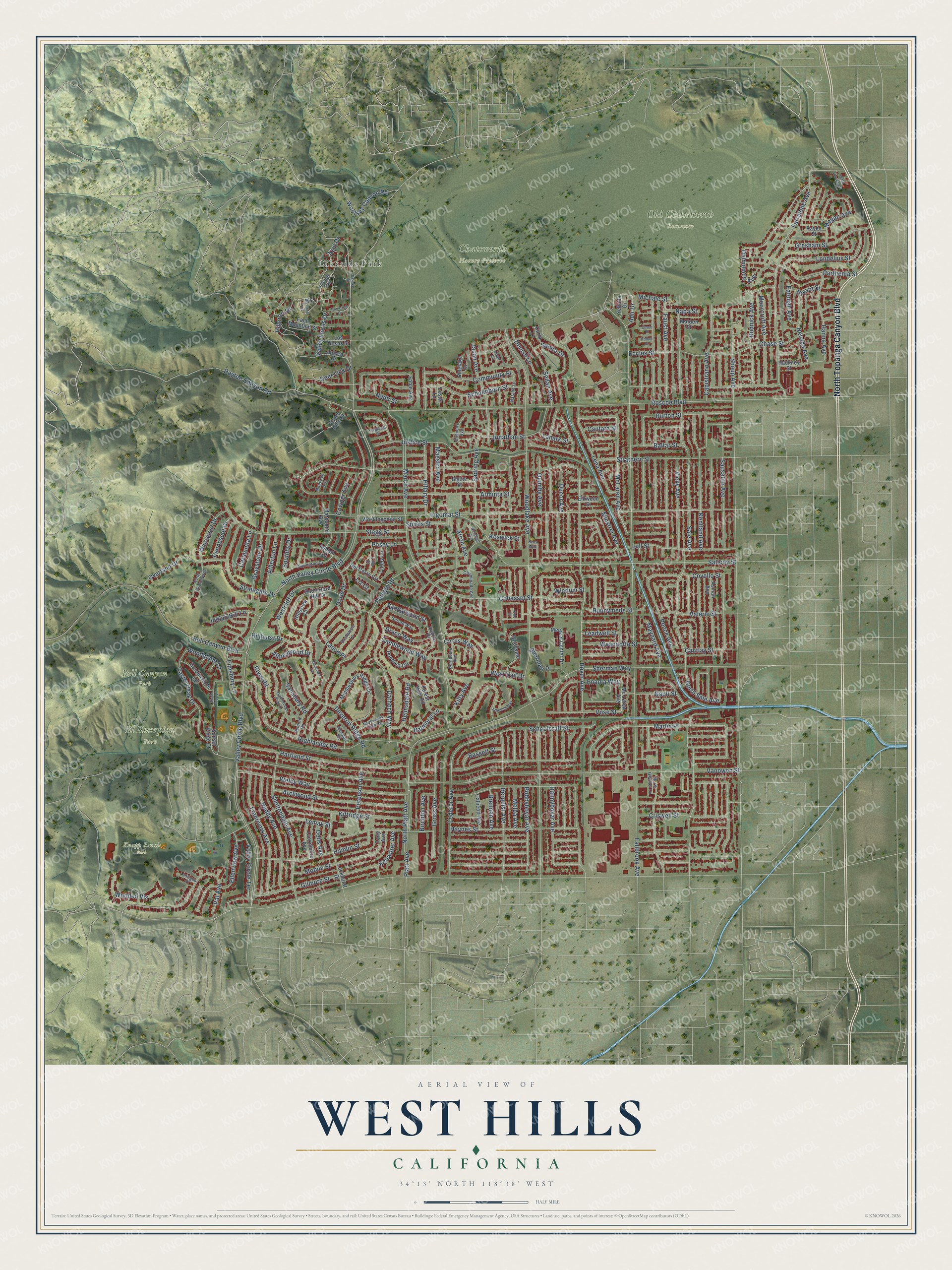
A new map of West Hills, California, made in 2026 and printed to order on thick archival matte paper.
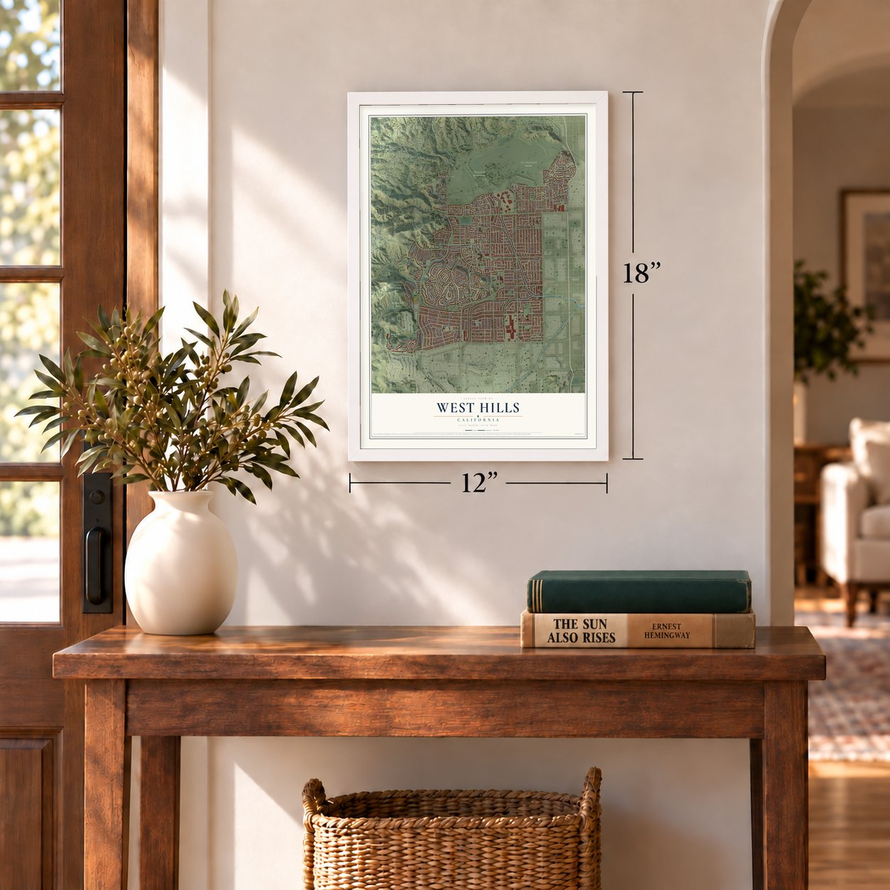
12" x 18" Archival Matte Print
A Map of Home. A Work of Art.
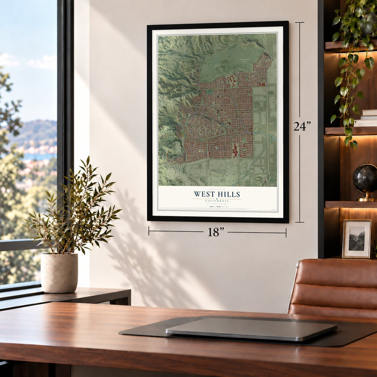
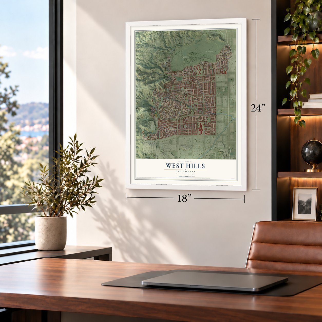
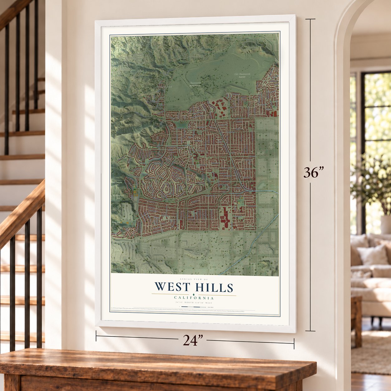
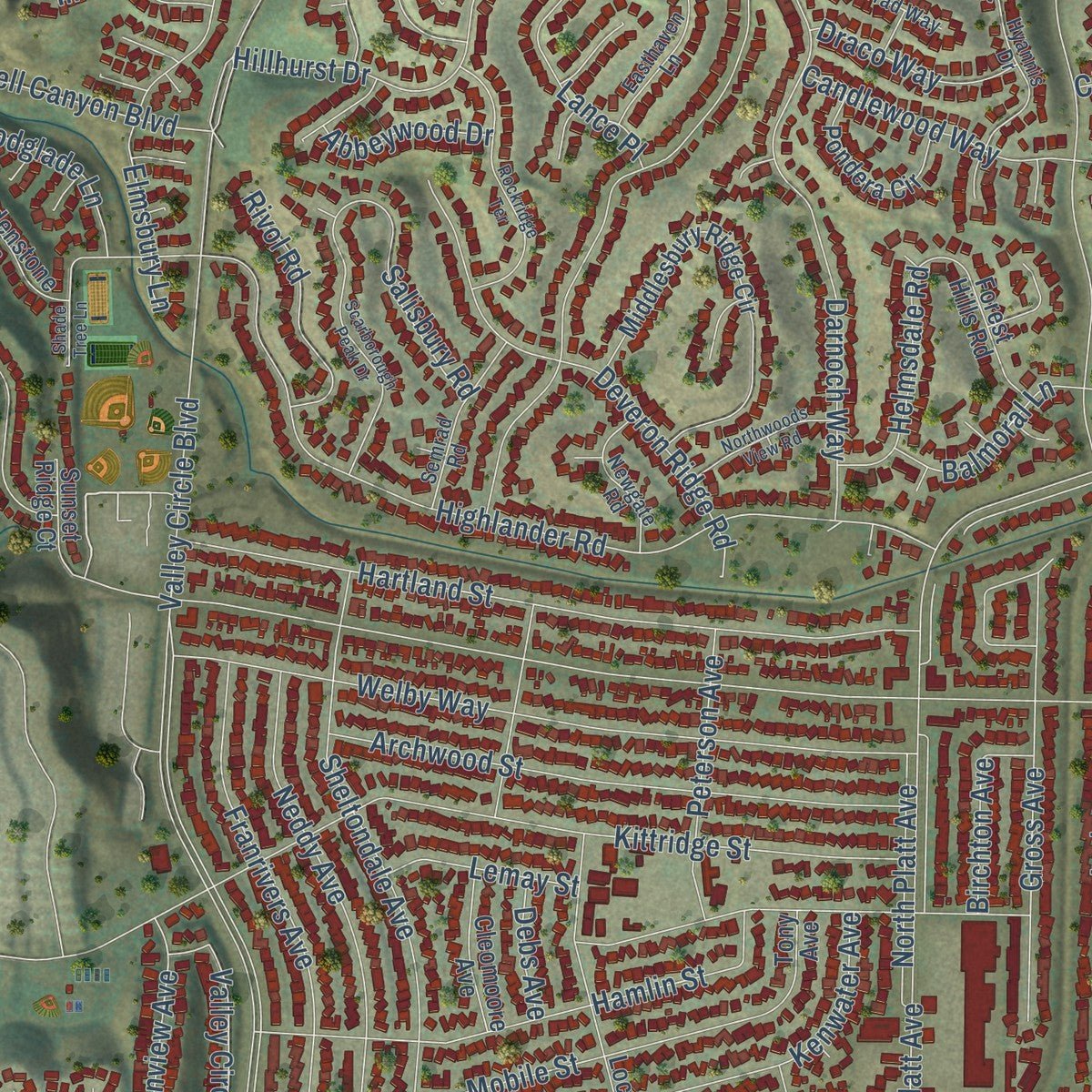
Explore West Hills, California from a whole new perspective. Created using aerial imagery and detailed geographic data, this map captures West Hills building by building, with labeled streets, familiar landmarks, and shaded topographical relief that highlights the natural contours of the landscape.
Combining modern data with the timeless character of a vintage atlas, this map is just as interesting up close as it is beautiful on the wall. Whether you grew up in West Hills, spent memorable years there, or call it home today, this unique map is a great way to celebrate a place that means something to you. Zoom in on the preview to look for your street, and then order a print to put your memories on the wall.
Three ways to hang it
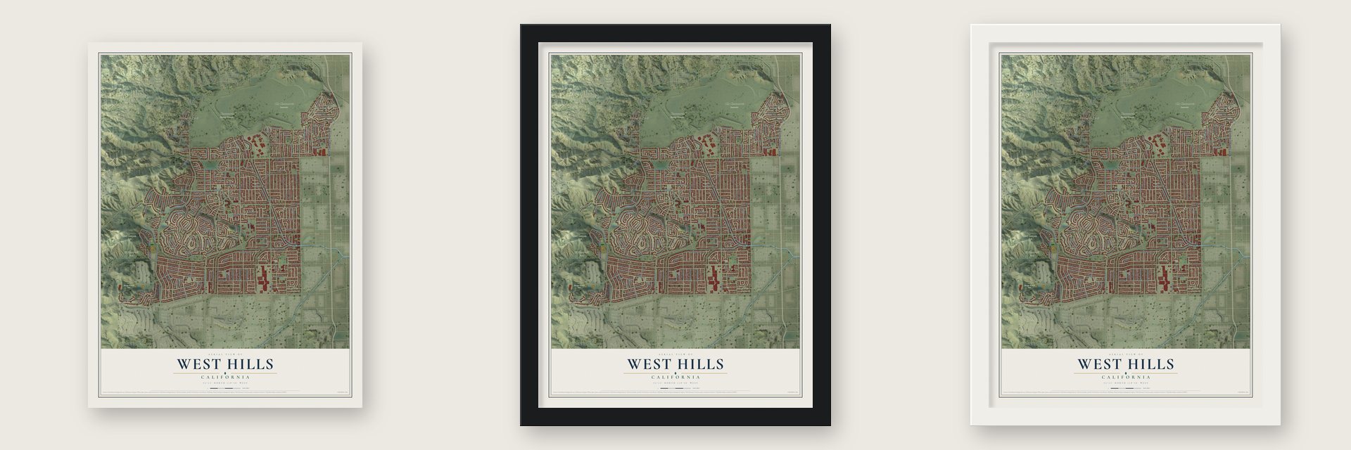
Unframed archival matte, a black wood frame or a white wood frame.
Up close
Geography Worth Displaying
This map was created using accurate cartographic data and authoritative geographic sources, including the U.S. Geological Survey and the Census Bureau. The map brings together terrain, waterways, roads, and building detail. The majority of the streets are labeled, houses are accurately depicted, and the topography is derived from government sources. Combining local data with carefully composed color and shading leads to this beautifully detailed West Hills artwork for your wall.
Rather than simply showing street outlines, we’ve included as many of the street names as we could reasonably fit on the map while keeping their names legible. Zoom in on the high resolution preview to see exactly what’s on the map. We truly set out to create a statement piece for anyone who loves West Hills. So whether it’s for you, or a gift for someone you love, we hope this map of West Hills brings back fond memories.
Read the story behind this map of West Hills, California from 2026.
About West Hills, California
From the Los Angeles City Council District 12: "The community of West Hills was originally founded as the town of Owensmouth on March 30, 1912 in the western San Fernando Valley region of the City of Los Angeles."
Find your street
Names on the West Hills map
Every name below is printed on this map. Look for your street, your school, the park where you played, or the pond down the road.
Places and landmarks6
- Lakeside Park
- Bell Canyon Park
- Chatsworth Nature Preserve
- El Escorpion Park
- Knapp Ranch Park
- Old Chatsworth Reservoir
Streets and roads219
- North Topanga Canyon Boulevard
- Royer Avenue
- Marlin Place
- Candlewood Way
- Woolsey Canyon Road
- North Sale Avenue
- Valley Circle Boulevard
- Fallbrook Avenue
- Sale Avenue
- Woodlake Avenue
- Vanowen Street
- Roscoe Boulevard
- Gilmore Street
- Ingomar Street
- Platt Avenue
- North Valley Circle Boulevard
- Hartland Street
- Strathern Street
- Capistrano Avenue
- Ponce Avenue
- Sausalito Avenue
- Welby Way
- Sedan Avenue
- Kittridge Street
- Saticoy Street
- Schoenborn Street
- Sherman Way
- Kentland Avenue
- Haynes Street
- Hamlin Street
Show all 219 streets
- Arminta Street
- Pomelo Drive
- Bobbyboyar Avenue
- Lena Avenue
- Stagg Street
- Schoolcraft Street
- Farralone Avenue
- Mobile Street
- Faust Avenue
- Highlander Road
- Maynard Avenue
- March Avenue
- McLaren Avenue
- Melba Avenue
- Chase Street
- Lull Street
- Moorcroft Avenue
- Valley Flores Drive
- Burton Street
- Covello Street
- Valerio Street
- Baltar Street
- Bell Canyon Boulevard
- Darnoch Way
- Cohasset Street
- North Platt Avenue
- Justice Street
- Balmoral Lane
- Sheltondale Avenue
- Jason Avenue
- Vicky Avenue
- Archwood Street
- Berquist Avenue
- Hanna Avenue
- Hillcroft Drive
- Enadia Way
- Community Street
- Shoup Avenue
- Quimby Avenue
- Franrivers Avenue
- Keswick Street
- Deveron Ridge Road
- Runnymede Street
- Vose Street
- Neddy Avenue
- Rudnick Avenue
- Jonathan Street
- Hillary Drive
- Parthenia Street
- Ducor Avenue
- Dannyboyar Avenue
- Minstrel Avenue
- Windom Street
- Bassett Street
- Castle Peak Drive
- Napa Street
- Stonegate Drive
- Nevada Avenue
- Hillhurst Drive
- Gross Avenue
- Ellenview Avenue
- Overland Drive
- Sandalwood Street
- Westcliff Drive
- Lederer Avenue
- Gault Street
- Azul Drive
- Gresham Street
- Cantlay Street
- Graystone Drive
- Dayton Canyon Road
- Criswell Street
- Elmsbury Lane
- Cantara Street
- Posey Lane
- Sadring Avenue
- Peterson Avenue
- Denise Lane
- Londelius Street
- Wyandotte Street
- Megan Avenue
- Lanark Street
- Maestro Avenue
- Eccles Street
- Lance Place
- Michale Street
- Samra Drive
- Birchton Avenue
- Deer Lick Drive
- Wooded Vis
- Salisbury Road
- Rivol Road
- Wiscasset Drive
- Valley Circle Terrace
- Spires Street
- Atherton Lane
- Leadwell Street
- Cirrus Way
- Helmsdale Road
- Lemay Street
- Bryant Street
- Indian Hill Lane
- Woodglade Lane
- Nadir Street
- Draco Way
- Pat Avenue
- Penobscot Drive
- Dorie Drive
- Eatough Avenue
- Delmonico Avenue
- Sherman Place
- Abbeywood Drive
- Kenwater Avenue
- Cowper Avenue
- Brennan Avenue
- Atron Avenue
- West Vail Drive
- Southby Drive
- Carmenita Lane
- Adir Drive
- Debs Avenue
- Kilty Avenue
- Liz Court
- Medical Center Drive
- Mc Laren Avenue
- Asman Avenue
- Middlesbury Ridge Circle
- Blythe Street
- Del Cerro Circle
- Cleomoore Avenue
- Jensen Drive
- Elkwood Street
- Rutherford Hill Drive
- Lockhurst Drive
- Eagle Mountain Street
- Woodvale Court
- Hackney Street
- Malden Street
- Marquand Avenue
- Pondera Circle
- Gardenstone Lane
- Forest Hills Road
- Rayen Street
- West Ingomar Street
- Callicott Avenue
- Linley Lane
- Tony Avenue
- Los Rosas Street
- Sunset Ridge Court
- Fable Avenue
- Hillsview Court
- Ashton Court
- Pinelake Drive
- Quiet Hills Court
- Yehuda Drive
- Carla Lane
- Lester Lane
- Clarington Drive
- Hyannis Drive
- Chaminade Avenue
- Hillcroft Trail
- Natalie Lane
- Semrad Road
- Bernadine Avenue
- Easthaven Lane
- Newgate Road
- Clemens Avenue
- Gerrad Way
- Joan Lane
- North Glasner Lane
- Mencken Avenue
- Antigua Place
- Lilla Place
- Scarborough Peak Drive
- Rockridge Terrace
- Chatlake Drive
- Northwoods View Road
- Atheling Way
- North Wiscasset Drive
- Homezell Drive
- Woodhall Avenue
- Shade Tree Lane
- Santa Susanna Place
- Fitzgerald Street
- Big Rock Trail
- Rodax Street
- Chase Place
- Kens Way
- Kyle Court
Names are listed as they appear on the printed map. Zoom into the product photos to find them.
The art of mapping a place
How This Map Was Made
Real places. Remarkable detail. Discover the layers that turn geographic data into a map of home.

The view from above
Aerial imagery reveals the character of the land: woodland, open fields, and the patterns of a place.

The shape of the land
Elevation data brings hills, valleys, and subtle changes in the landscape into view.

The details of home
Roads, waterways, and building footprints come together to make the map feel unmistakably local.

Geography becomes art
Considered color, shading, and typography bring the layers together in a map made for your wall.


Process illustrated with Mendon, Massachusetts. Aerial imagery: USDA NAIP. Terrain: USGS 3D Elevation Program. Map details and finished artwork: KNOWOL.
The Details
About This Print
Choose an archival matte print, or a black or white Ayous wood frame. The archival matte print is unframed.
Select your size and finish above to see the matching product image and price.
Materials & Craftsmanship
A contemporary map with the character of a classic atlas, printed on archival matte paper. Optional frames are made from Ayous wood.
Your printed map does not include the watermark shown in the full-map preview.
Shipping & Delivery
Free shipping within the United States. Every print is made to order in the USA.
Buying a gift? Add a note in your cart and we'll include it. We never put prices in the package.
Prints ship within 2 to 3 business days. Allow 7 to 10 days total from ordering for delivery. Timing may vary during holidays or periods of high order volume.
Read our shipping policy.
Returns and damaged prints
Each print is made to order. Change-of-mind refunds are not available after production.
If your print arrives damaged, misprinted or incorrect, contact support@knowol.com within 30 days of receiving it. Include your order number, photos and a description of the issue.
Read our full refund and replacement policy. For questions about your order, email support@knowol.com.
Find your town
Looking for another city?
Find a map of home in our California collection, or any town in the country.
Nearby
Maps of towns near West Hills
Know someone from one of these towns? Their map makes a great gift.
 Bell Canyon
, California
From $39.99See the map
 Winnetka
, California
From $39.99See the map
 Hidden Hills
, California
From $39.99See the map
More maps nearby: Santa Susana, Reseda, Calabasas, Tarzana and Porter Ranch.