
Search for another town

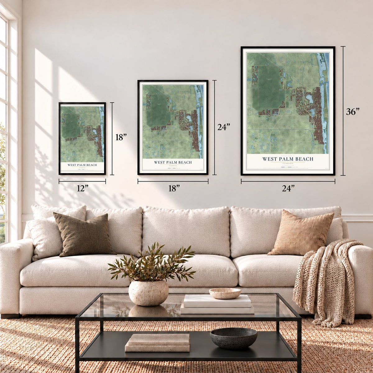

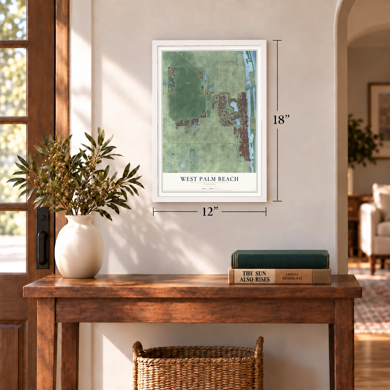

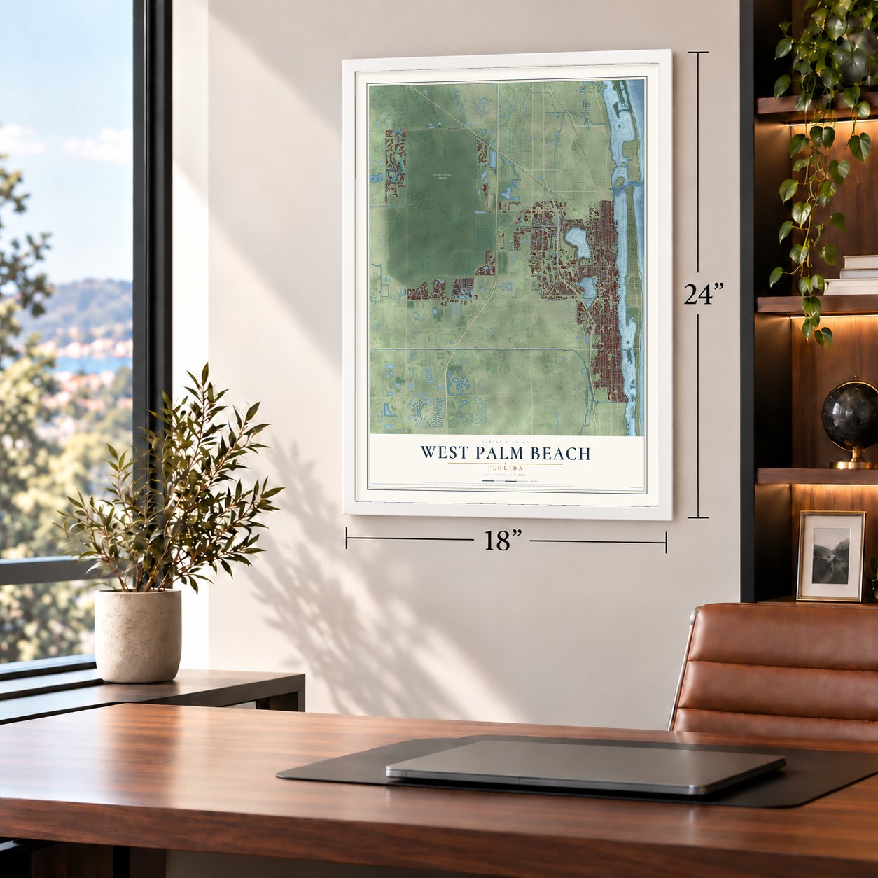


Free U.S. delivery 7 to 10 days after you order
West Palm Beach, Florida Map Art
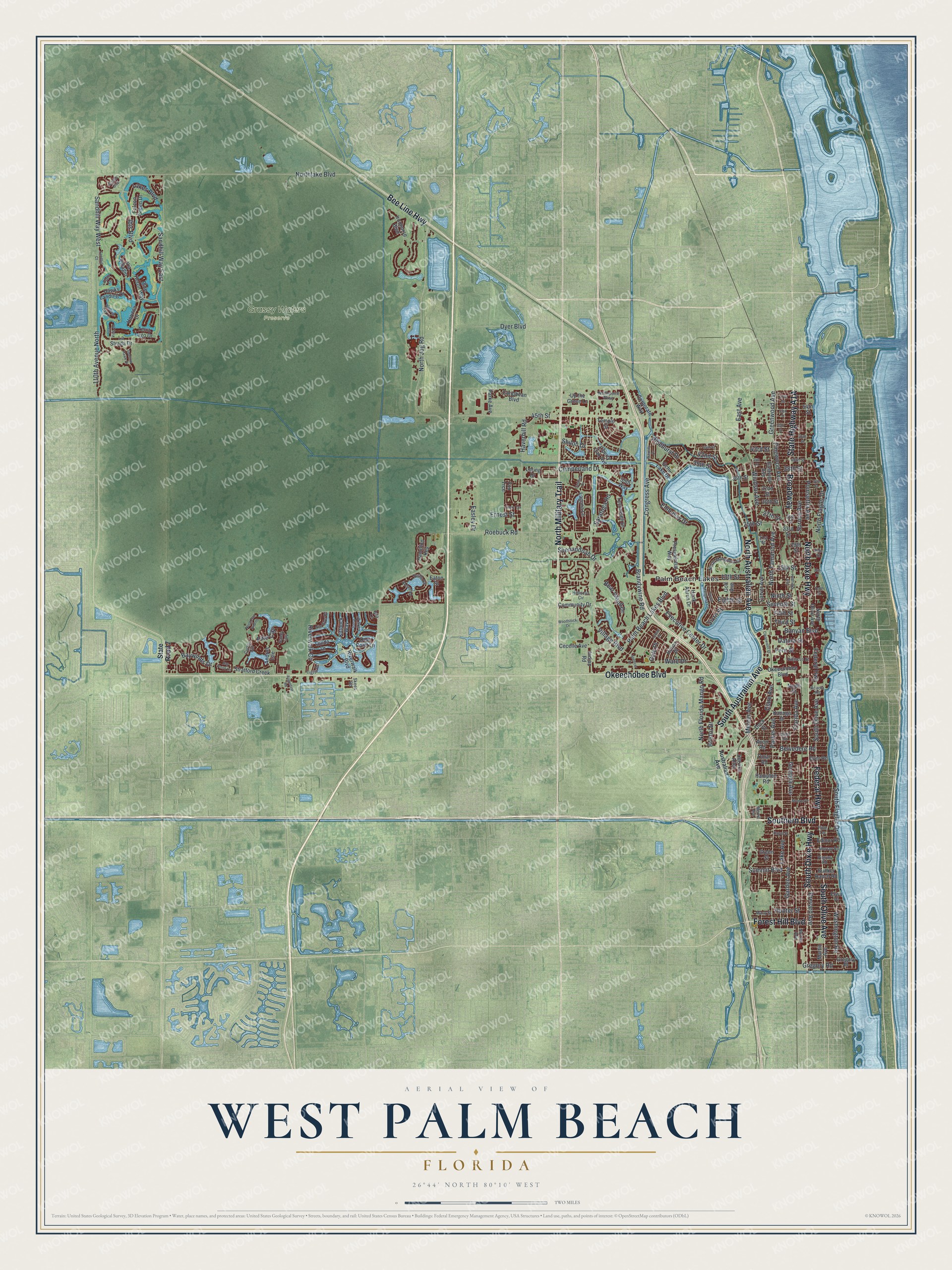
A new map of West Palm Beach, Florida, made in 2026 and printed to order on thick archival matte paper.
12" x 18" Archival Matte Print
A Map of Home. A Work of Art.
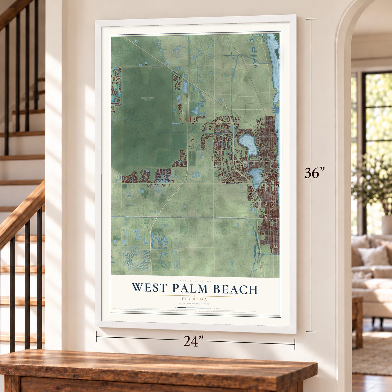
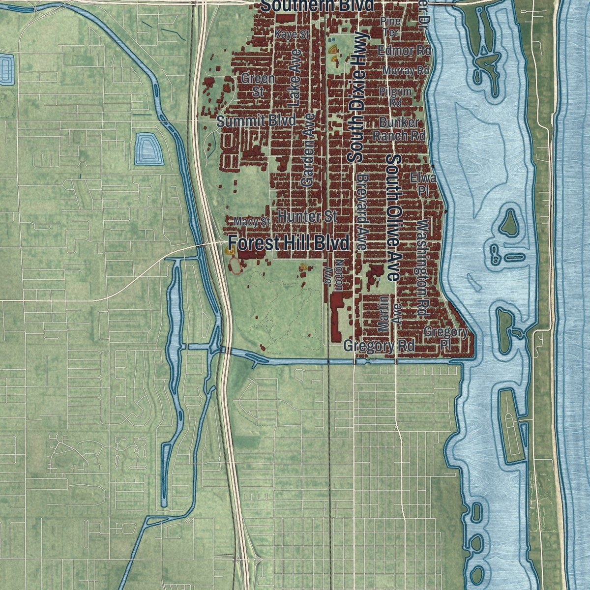
Explore West Palm Beach, Florida from a whole new perspective. Created using aerial imagery and detailed geographic data, this map captures West Palm Beach building by building, with labeled streets, familiar landmarks, and shaded topographical relief that highlights the natural contours of the landscape.
Combining modern data with the timeless character of a vintage atlas, this map is just as interesting up close as it is beautiful on the wall. Whether you grew up in West Palm Beach, spent memorable years there, or call it home today, this unique map is a great way to celebrate a place that means something to you. Zoom in on the preview to look for your street, and then order a print to put your memories on the wall.
Three ways to hang it
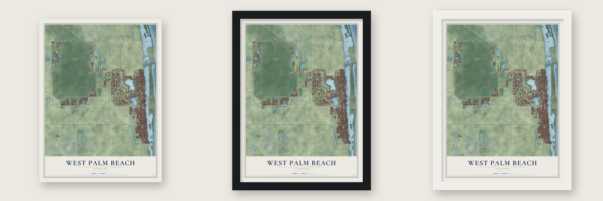
Unframed archival matte, a black wood frame or a white wood frame.
Up close
Geography Worth Displaying
This map was created using accurate cartographic data and authoritative geographic sources, including the U.S. Geological Survey (USGS) and FEMA. The map brings together terrain, waterways, roads, and building detail. The majority of the streets are labeled, houses are accurately depicted, and the topography is derived from government sources. Combining local data with carefully composed color and shading leads to this beautifully detailed West Palm Beach artwork for your wall.
Rather than simply showing street outlines, we’ve included as many of the street names as we could reasonably fit on the map while keeping their names legible. Zoom in on the high resolution preview to see exactly what’s on the map. We truly set out to create a statement piece for anyone who loves West Palm Beach. So whether it’s for you, or a gift for someone you love, we hope this map of West Palm Beach brings back fond memories.
Explore the full map of West Palm Beach, Florida and read about the local places it shows.

About West Palm Beach, Florida
West Palm Beach is a city of 117,415 people and the county seat of Palm Beach County, facing the island town of Palm Beach across the Lake Worth Lagoon. A few hundred settlers arrived in the late 1870s and 1880s and called the area Lake Worth Country. Most of them raised tropical fruits and vegetables, which they shipped north by way of Lake Worth and the Indian River.
In 1893, as the Florida East Coast railroad reached the lake, Henry Flagler paid Captain Porter and Louie Hillhouse $45,000 for land running from Clear Lake to Lake Worth. He platted a town there to house the workers at his two big hotels on Palm Beach. The city was incorporated on November 5, 1894, two years ahead of Miami, and its council soon wrote building codes that replaced the early tents and shanties with brick and stone.
- County seat since 1909The Florida legislature carved out Palm Beach County in 1909 and made West Palm Beach its seat. A neoclassical courthouse opened in 1916. Workers later restored it with great care to the way it first looked, and it now serves as a museum of local history.
- Boom, storm and warDuring the Florida land boom of the 1920s, the city's population grew fourfold between 1920 and 1927. The boom was already slowing when the 1928 Okeechobee hurricane wrecked the city, and the 1930s passed quietly. World War II finally brought recovery, when Palm Beach Air Force Base filled the city with thousands of soldiers and airmen. Offshore, two dozen merchant ships and oil tankers went down to German submarine attacks.
- El Cid's Spanish heroMost land north of Sunset Road was once pineapple fields, but that crop faded early in the next century. In the 1920s Jay Phipps, a society figure from Pittsburgh, divided the old fields into lots and named the neighborhood El Cid, after Rodrigo Díaz de Vivar, the Spanish hero who took Valencia in 1094. Its Mediterranean revival and mission-style homes made it a city historic district in June 1993.
- A yacht that never arrivedBelair began as Richard Hone's pineapple plantation, and his frame house, built about 1895, is still standing at 211 Plymouth Road. Hone was murdered in 1902, and the land later went to William Ohlhaber, who grew coconut palms and ferns before he platted lots. His grandson said Ohlhaber wanted the tract as a dock for his 90-foot yacht, but the yacht struck ground in the Gulf of Mexico, so it never got to Lake Worth.
Find your street
Names on the West Palm Beach map
Every name below is printed on this map. Look for your street, your school, the park where you played, or the pond down the road.
Places and landmarks2
- Grassy Waters Preserve
- Palm Beach Lakes
Streets and roads197
- Southern Boulevard
- North Dixie Highway
- South Dixie Highway
- South Australian Avenue
- Okeechobee Boulevard
- North Military Trail
- Federal Highway
- Bee Line Highway
- South Olive Avenue
- North Australian Avenue
- Broadway
- Forest Hill Boulevard
- Baywinds Drive
- Sandhill Way East
- Poinsettia Avenue
- 45th Street
- Village Boulevard
- North Jog Road
- South Flagler Drive
- Northlake Boulevard
- North Flagler Drive
- Georgia Avenue
- Congress Avenue
- Palm Beach Lakes Boulevard
- Parker Avenue
- Lake Avenue
- Riverwalk Circle
- Spruce Avenue
- Haverhill Road
- Windsor Avenue
Show all 197 streets
- Embassy Drive
- Sandhill Way West
- Pinewood Avenue
- Washington Road
- Seventh Street
- Greenwood Avenue
- Belvedere Road
- Brandywine Road
- Saratoga Road
- Garden Avenue
- Eighth Street
- North Tamarind Avenue
- Sixth Street
- Ninth Street
- 13th Street
- Cumberland Drive
- 42nd Street
- Executive Center Drive
- 39th Street
- 43rd Street
- 27th Street
- Roebuck Road
- North Florida Mango Road
- Banyan Boulevard
- Florida Avenue
- 110th Avenue North
- Ibis Boulevard
- 15th Street
- Mercer Avenue
- Brevard Avenue
- 25th Street
- Lakes Boulevard
- Gregory Road
- Datura Street
- Bear Island Drive
- Hunter Street
- Shenandoah Drive
- Dyer Boulevard
- Summit Boulevard
- Fern Street
- Third Street
- Shiloh Drive
- Ernest Street
- East Avenue
- Clare Avenue
- Pinehurst Drive
- Ware Drive
- 38th Street
- Fifth Street
- Easley Drive
- Pine Cay
- Bristol Drive
- Gale Place
- State Road 7
- La Strada Drive
- Ironhorse Boulevard
- 36th Street
- Presidential Way
- 30th Street
- Golf Avenue
- 23rd Street
- Martin Avenue
- 54th Street
- North Olive Avenue
- Hampton Road
- 32nd Street
- Tecumseh Drive
- Avon Road
- Laguna Lane
- Liberty Oak Avenue
- Loring Drive
- Stratford Creek
- 19th Street
- Hamilton Key
- Omar Road
- Green Street
- Hawks Landing Drive
- Caribbean Boulevard
- Community Drive
- Kanuga Drive
- Eastview Avenue
- Hank Aaron Drive
- Edmor Road
- Blue Heron Way
- Echo Lake Drive
- Bunker Ranch Road
- Corporate Way
- Service Alley
- Gregory Place
- Ceceile Avenue
- Andros Isle
- Dock Street
- Carver Avenue
- Riverwalk Boulevard
- Up the Grove Lane
- Via Villagio
- Parke Avenue
- Horizon Drive
- Kittbuck Way
- Terra Lago Drive
- Quida Drive
- Indian Road
- Temple Street
- Falcon Green Drive
- Huron Place
- Deer Point Lane
- Dyer Road
- North Street
- Elwa Place
- Eaton Street
- Fox Trce
- 55th Way
- Australian Avenue
- 40th Street
- Northpoint Parkway
- Macy Street
- Norton Avenue
- North Mangonia Drive
- 26th Street
- 21st Street
- Sandy Cay
- Pilgrim Road
- Turtle Cv
- Murray Road
- Hibiscus Street
- Tigris Drive
- Pine Terrace
- Merrill Avenue
- Hibiscus Circle
- Irma Lake Drive
- Acacia Road
- Kaye Street
- Skees Road
- Pine Street
- Curley Cut
- Gila Lane
- Grande Boulevard
- Tenth Street
- 44th Street
- Upland Road
- 34th Street
- 14th Street
- Monroe Drive
- 49th Street
- Bay Point Circle
- South Mangonia Circle
- Henrietta Avenue
- 53rd Street
- North San Andros
- Bollard Road
- 46th Street
- Spencer Drive
- 57th Street
- Nile River Road
- Sandhill Court
- Eagle Terrace
- Sparrow Hawk Drive
- Clearwater Drive
- Winding Bay Lane
- Catalina Drive
- Lyman Place
- Woodstock Drive
- Augustine Road
- Waverly Drive
- 39th Court
- Ellery Terrace
- Isla Vista Drive
Names are listed as they appear on the printed map. Zoom into the product photos to find them.
The art of mapping a place
How This Map Was Made
Real places. Remarkable detail. Discover the layers that turn geographic data into a map of home.

The view from above
Aerial imagery reveals the character of the land: woodland, open fields, and the patterns of a place.

The shape of the land
Elevation data brings hills, valleys, and subtle changes in the landscape into view.

The details of home
Roads, waterways, and building footprints come together to make the map feel unmistakably local.

Geography becomes art
Considered color, shading, and typography bring the layers together in a map made for your wall.


Process illustrated with Mendon, Massachusetts. Aerial imagery: USDA NAIP. Terrain: USGS 3D Elevation Program. Map details and finished artwork: KNOWOL.
The Details
About This Print
Choose an archival matte print, or a black or white Ayous wood frame. The archival matte print is unframed.
Select your size and finish above to see the matching product image and price.
Materials & Craftsmanship
A contemporary map with the character of a classic atlas, printed on archival matte paper. Optional frames are made from Ayous wood.
Your printed map does not include the watermark shown in the full-map preview.
Shipping & Delivery
Free shipping within the United States. Every print is made to order in the USA.
Buying a gift? Add a note in your cart and we'll include it. We never put prices in the package.
Prints ship within 2 to 3 business days. Allow 7 to 10 days total from ordering for delivery. Timing may vary during holidays or periods of high order volume.
Read our shipping policy.
Returns and damaged prints
Each print is made to order. Change-of-mind refunds are not available after production.
If your print arrives damaged, misprinted or incorrect, contact support@knowol.com within 30 days of receiving it. Include your order number, photos and a description of the issue.
Read our full refund and replacement policy. For questions about your order, email support@knowol.com.
Find your town
Looking for another city?
Find a map of home in our Florida collection, or any town in the country.
Nearby
Maps of towns near West Palm Beach
Know someone from one of these towns? Their map makes a great gift.
 Schall Circle
, Florida
From $39.99See the map
 Plantation Mobile Home Park
, Florida
From $39.99See the map
 Stacey Street
, Florida
From $39.99See the map
More maps nearby: Mangonia Park, Westgate, Haverhill, Lake Belvedere Estates and Riviera Beach.